The best traffic-free bike rides around Natural Park Allgäuer Hochalpen
4.6
(690)
4,983
riders
92
rides
Gravel biking around Natural Park Allgäuer Hochalpen offers diverse terrain within one of Germany's largest nature reserves. The region is characterized by dramatic mountainous landscapes, including craggy peaks, rugged ridge lines, and steep grass mountains, shaped by limestone and dolomite geology. Numerous valleys, such as the Oytal Valley, are traversed by rivers like the Ostrach and Iller, providing varied routes for gravel cyclists. Significant elevation changes create distinct vegetation zones and offer a range of gradients for different riding preferences.
…Last updated: July 12, 2026
5.0
(2)
13
riders
36.6km
02:44
1,000m
1,000m
Hard gravel ride. Very good fitness required. Mostly paved surfaces. Suitable for all skill levels.
4.7
(24)
122
riders
37.6km
02:06
360m
360m
Moderate gravel ride. Good fitness required. Mostly paved surfaces. Suitable for all skill levels.

Sign up for free
4.6
(16)
186
riders
28.9km
01:27
120m
120m
Easy gravel ride. Great for any fitness level. Mostly paved surfaces. Suitable for all skill levels.
4.5
(18)
59
riders
35.5km
02:33
940m
940m
Hard gravel ride. Very good fitness required. Mostly paved surfaces. Suitable for all skill levels.
4.7
(12)
96
riders
79.3km
03:55
370m
370m
Moderate gravel ride. Good fitness required. Mostly paved surfaces. Suitable for all skill levels.
Get access to more routes and recommendations from other explorers.
Sign up for free
Already have an account?
Our route recommendations are based on thousands of hikes, rides, and runs completed by other people on komoot.
Start today with a free account
Your next adventure awaits.
Login or Signup
Popular around Natural Park Allgäuer Hochalpen

Ibex Tour extended – Crossing the Allgäu Alps

E5 – Hiking across the Alps
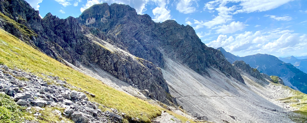
Three peaks, two countries, two days – border hike in the Kleinwalsertal
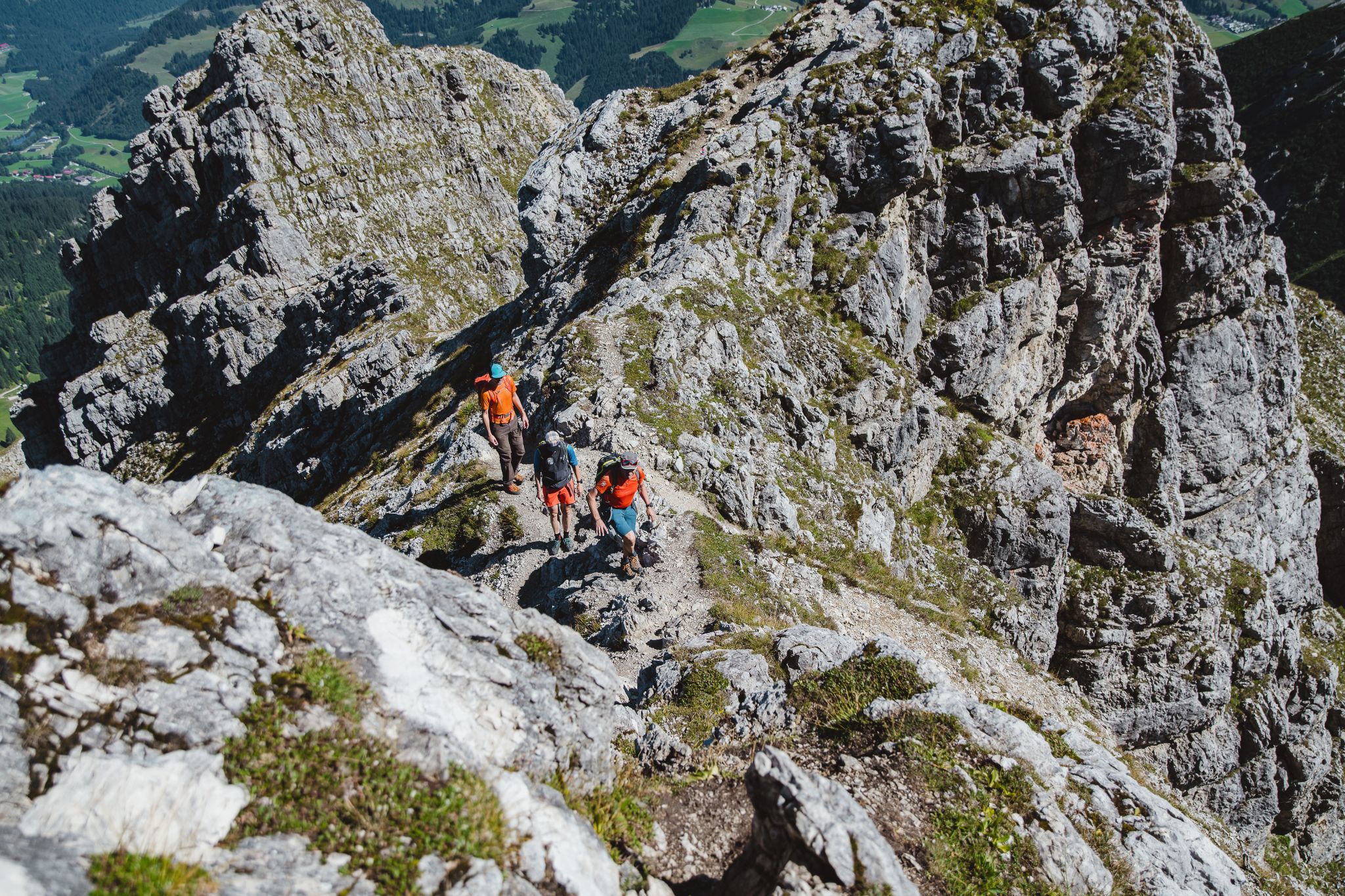
Fantastic day Tours around Bad Hindelang

Climbing Alpine peaks on the Route to the Top – Allgäu hiking trilogy
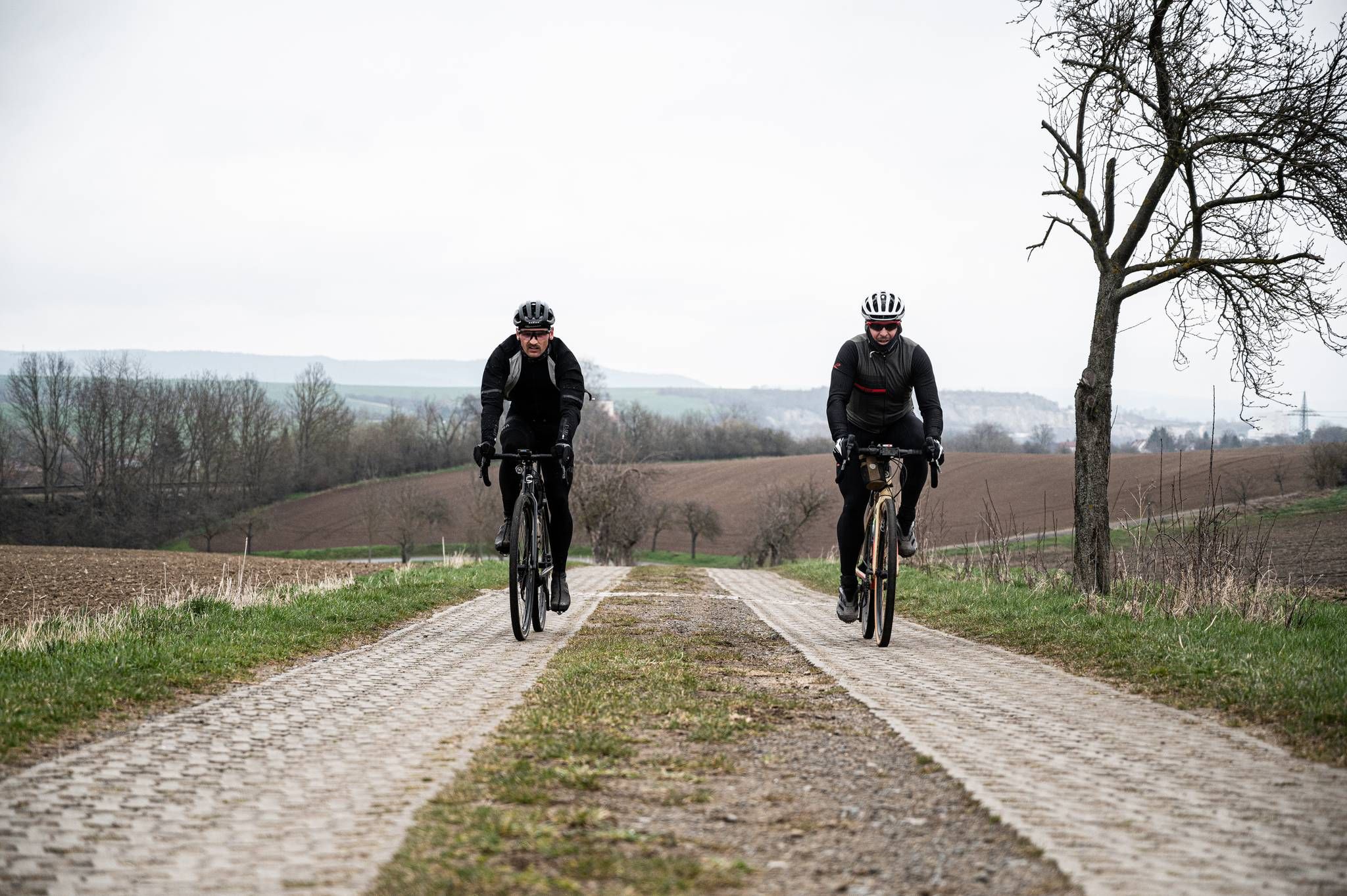
Cycling across Germany – my journey to the southernmost point of Germany
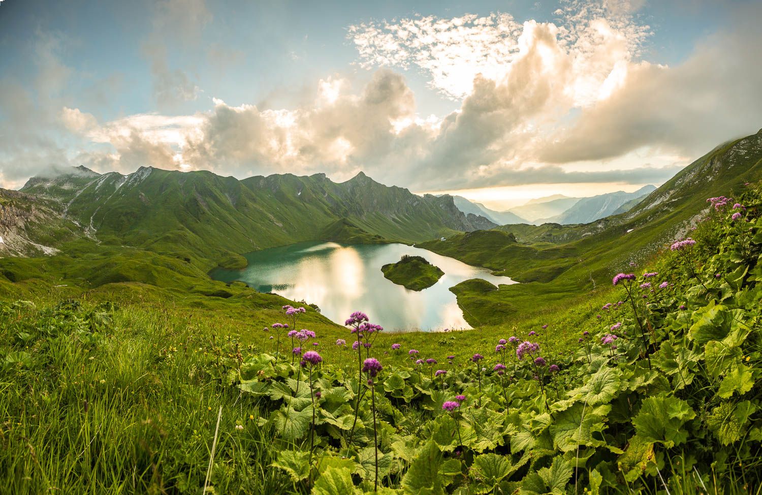
Grenzgänger – 6 Days Long Distance Hiking in Tannheimer Tal
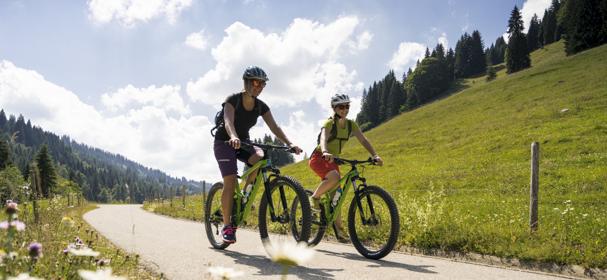
By bike over hill and dale - together outside in Oberstdorf
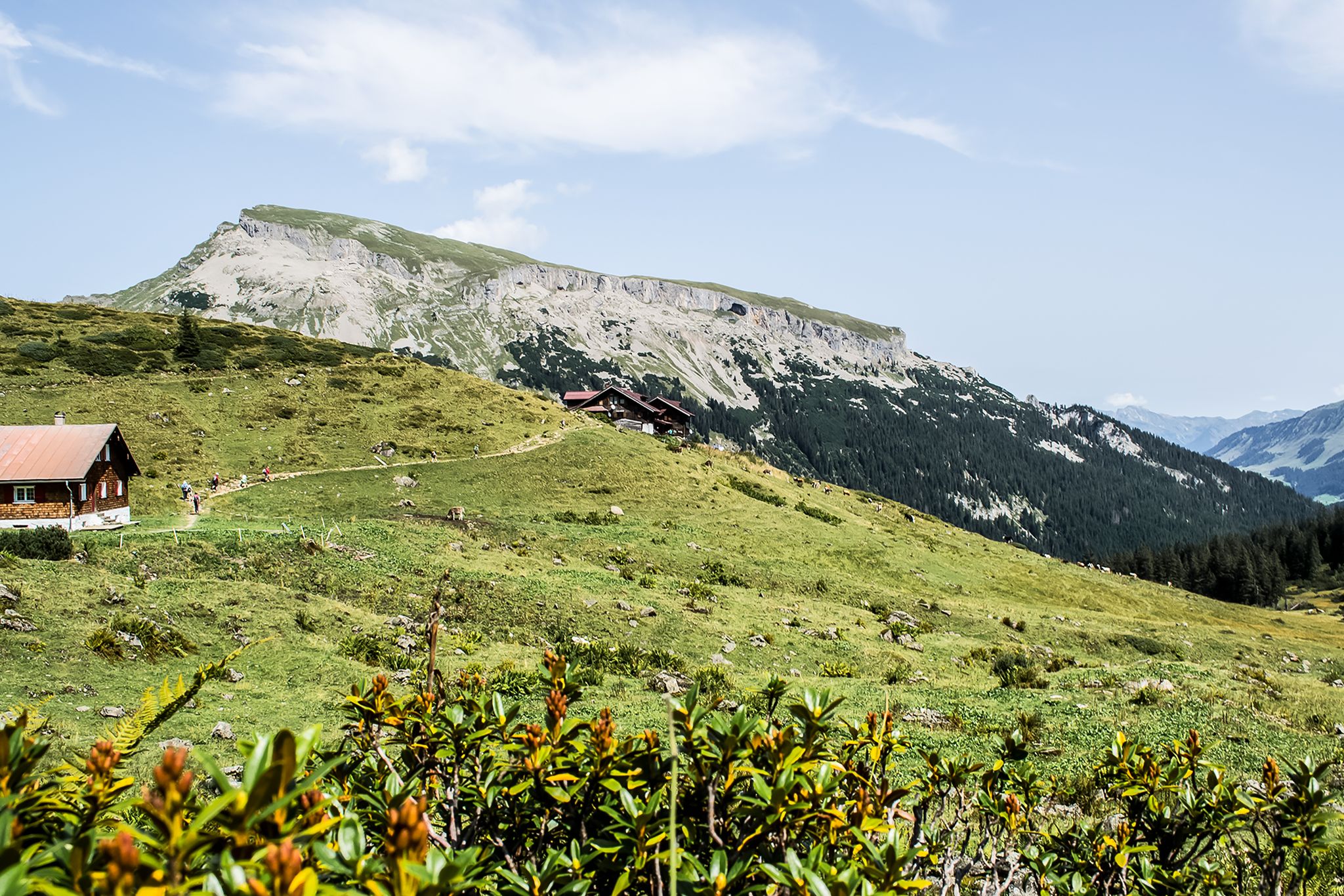
From hut to hut – 4 days through the Kleinwalsertal in Austria
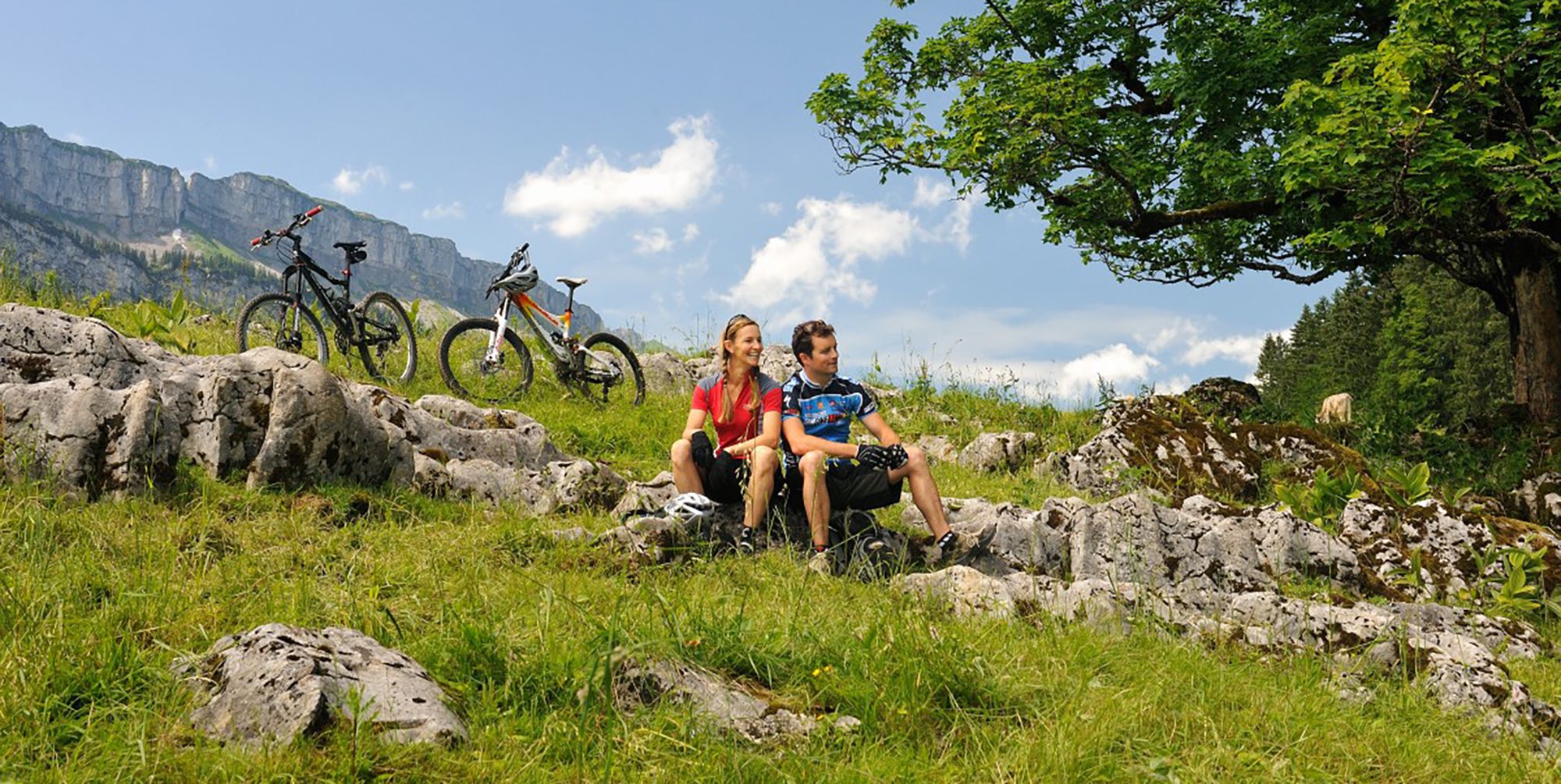
Up and over hills and dales – cycling in Oberstdorf in the Bavarian Alps
Other adventures around Natural Park Allgäuer Hochalpen


Tips from the Community

The Iller cycle path between Sonthofen and Oberstdorf is consistently well-developed, with a firm and slightly gravelly surface.
0
0

Super tour from Sonthofen to Rottachsee a bit strenuous but could swim great in the lake.
0
0

Staufen has had market rights since 1453. The important town in the Allgäu region, close to Austria and Switzerland, saw the rise of several wealthy families who built representative houses here centuries ago. After the currency reform in 1924, however, a large number of second homes and condominiums were built in Oberstaufen until the 1970s, which damaged the overall appearance of the town.
8
0

This is a great place for a stroll – there are lots of shops.
3
0

The Hühnermoos raised bog was formed after the last Ice Age. The melting glacier left behind a so-called dead-ice hole—a hollow in which a small lake initially formed, and where the melting glacial ice could no longer drain away. The peat in the lake formed from dying marsh grasses, which then gradually silted up.
1
0

Beautiful route and beautiful views - surface a bit rough
0
0

The tour is very relaxed (with the e-bike) and offers plenty of beautiful views.
0
0

Great view of the mountains
2
0
Frequently Asked Questions
How many no traffic gravel bike trails are there in Natural Park Allgäuer Hochalpen?
The Natural Park Allgäuer Hochalpen offers a wide selection of traffic-free gravel bike trails. You'll find over 90 routes, ranging from easy to difficult, ensuring there's something for every skill level.
What is the best time of year for gravel biking in the Allgäuer Hochalpen?
The best time for gravel biking in the Allgäuer Hochalpen is typically from late spring through early autumn. During these months, the weather is generally more stable, and the alpine pastures are lush. Always check local weather conditions, especially for higher elevations, as they can change rapidly.
What kind of terrain can I expect on the gravel bike trails?
The terrain in the Natural Park Allgäuer Hochalpen is wonderfully diverse. You'll encounter a mix of gravel paths, forest roads, and some paved sections, often winding through dramatic mountainous landscapes, quiet valleys, and alongside rivers. Expect significant elevation changes, characteristic of the craggy peaks and 'Grasberge' (steep grass mountains) of the Allgäu Alps.
Are there any easy, family-friendly gravel bike routes?
Yes, there are several easy routes suitable for families. For a gentle ride with minimal elevation, consider the Iller Cycle Path near Fischen – Fischen im Allgäu loop from Oberstdorf. This route offers pleasant riding along the river, perfect for a relaxed outing.
What natural features or attractions can I see along the trails?
Many routes offer stunning natural beauty. You can ride past crystal-clear lakes like Christlessee, or enjoy views of the Ostrach and Iller rivers. Some trails might even lead you near waterfalls, such as the Gaisalpsee waterfall. Keep an eye out for diverse vegetation zones and alpine pastures where dairy cows graze in warmer months.
Are there challenging routes for experienced gravel bikers?
Absolutely. For experienced riders seeking a challenge, the region offers plenty of difficult routes. Consider the View over Oberstdorf – Breitach River loop from Gerstruben, which features nearly 1000 meters of elevation gain over 36 km. Another demanding option is the Gerstruben Mountain Village – Dietersbachalpe loop from Oberstdorf, which takes you through rugged mountain terrain.
Are there any notable viewpoints or landmarks accessible by gravel bike?
Yes, many trails offer breathtaking panoramic views. While some peaks like Nebelhorn summit or Rubihorn Summit are primarily hiking destinations, you can often find routes that provide stunning vistas of these and other prominent mountains. The Rohrmoos Valley – View from Hörnlepass loop from Oberstdorf is a great example of a route with rewarding views.
Can I bring my dog on the gravel bike trails?
Many trails in the Natural Park Allgäuer Hochalpen are suitable for dogs, especially those on wider gravel paths and forest roads. However, always keep your dog on a leash, especially in nature protection areas and near grazing livestock. Be mindful of other trail users and ensure your dog is well-behaved and can handle the distance and terrain.
Are there places to eat or stay along the routes?
Yes, you'll find various opportunities for refreshments and accommodation. Many routes pass through charming villages with cafes and restaurants. In higher elevations, traditional mountain huts like Rappensee Hut offer food and sometimes overnight stays, providing a welcome break during longer rides. It's always a good idea to check opening times in advance.
What do other gravel bikers enjoy most about the Natural Park Allgäuer Hochalpen?
The Natural Park Allgäuer Hochalpen is highly rated by the komoot community, with an average score of 4.6 stars from over 500 ratings. Reviewers often praise the region's stunning alpine scenery, the quiet and traffic-free nature of the trails, and the diverse riding experiences, from gentle river paths to challenging mountain ascents.
Is public transport available to access the gravel bike trails?
Yes, public transport, particularly buses, serves many of the villages and trailheads within and around the Natural Park Allgäuer Hochalpen. This allows for flexible planning, including point-to-point rides. Check local bus schedules for routes that accommodate bikes, as policies can vary.
Are all the routes circular, or are there point-to-point options?
While many of the featured gravel bike routes are circular loops, offering convenient starting and ending points, the excellent public transport network also allows for creating point-to-point adventures. You can combine bus travel with your ride to explore more of the diverse landscape without retracing your steps.
Most popular routes around Natural Park Allgäuer Hochalpen
Most popular attractions around Natural Park Allgäuer Hochalpen

Get inspired with the komoot mobile app


Explore more
Browse the best Gravel rides in other regions.
