The best cycling routes around Natural Park Allgäuer Hochalpen
4.6
(15931)
106,530
riders
595
rides
Touring cycling routes around Natural Park Allgäuer Hochalpen traverse a varied landscape in the southwestern tip of Germany. The region features the Allgäu Alps with craggy peaks and steep grass mountains, alongside expansive alpine pastures and lush valleys. Numerous rivers like the Iller and Ostrach, and several lakes, contribute to the diverse terrain. Cyclists encounter significant changes in elevation, from valley paths to challenging mountain passes.
Best touring cycling routes around Natural Park Allgäuer Hochalpen
- The most popular touring cycling…
Last updated: July 4, 2026
4.7
(175)
1,134
riders
19.4km
01:18
200m
200m
Moderate bike ride. Good fitness required. Mostly paved surfaces. Suitable for all skill levels.
4.9
(81)
684
riders
22.7km
01:36
430m
430m
Moderate bike ride. Good fitness required. Mostly paved surfaces. Suitable for all skill levels.

Sign up for free
4.9
(62)
506
riders
31.9km
02:28
820m
820m
Hard bike ride. Very good fitness required. Mostly paved surfaces. Suitable for all skill levels.
4.3
(19)
165
riders
12.8km
00:47
110m
110m
Easy bike ride. Great for any fitness level. Mostly paved surfaces. Suitable for all skill levels.
5.0
(4)
103
riders
7.49km
00:40
250m
250m
Moderate bike ride. Good fitness required. Mostly paved surfaces. Suitable for all skill levels.
Get access to more routes and recommendations from other explorers.
Sign up for free
Already have an account?
Our route recommendations are based on thousands of hikes, rides, and runs completed by other people on komoot.
Start today with a free account
Your next adventure awaits.
Login or Signup
Popular around Natural Park Allgäuer Hochalpen

Ibex Tour extended – Crossing the Allgäu Alps

E5 – Hiking across the Alps
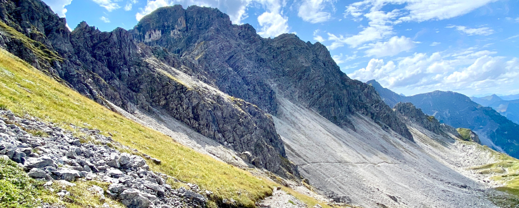
Three peaks, two countries, two days – border hike in the Kleinwalsertal
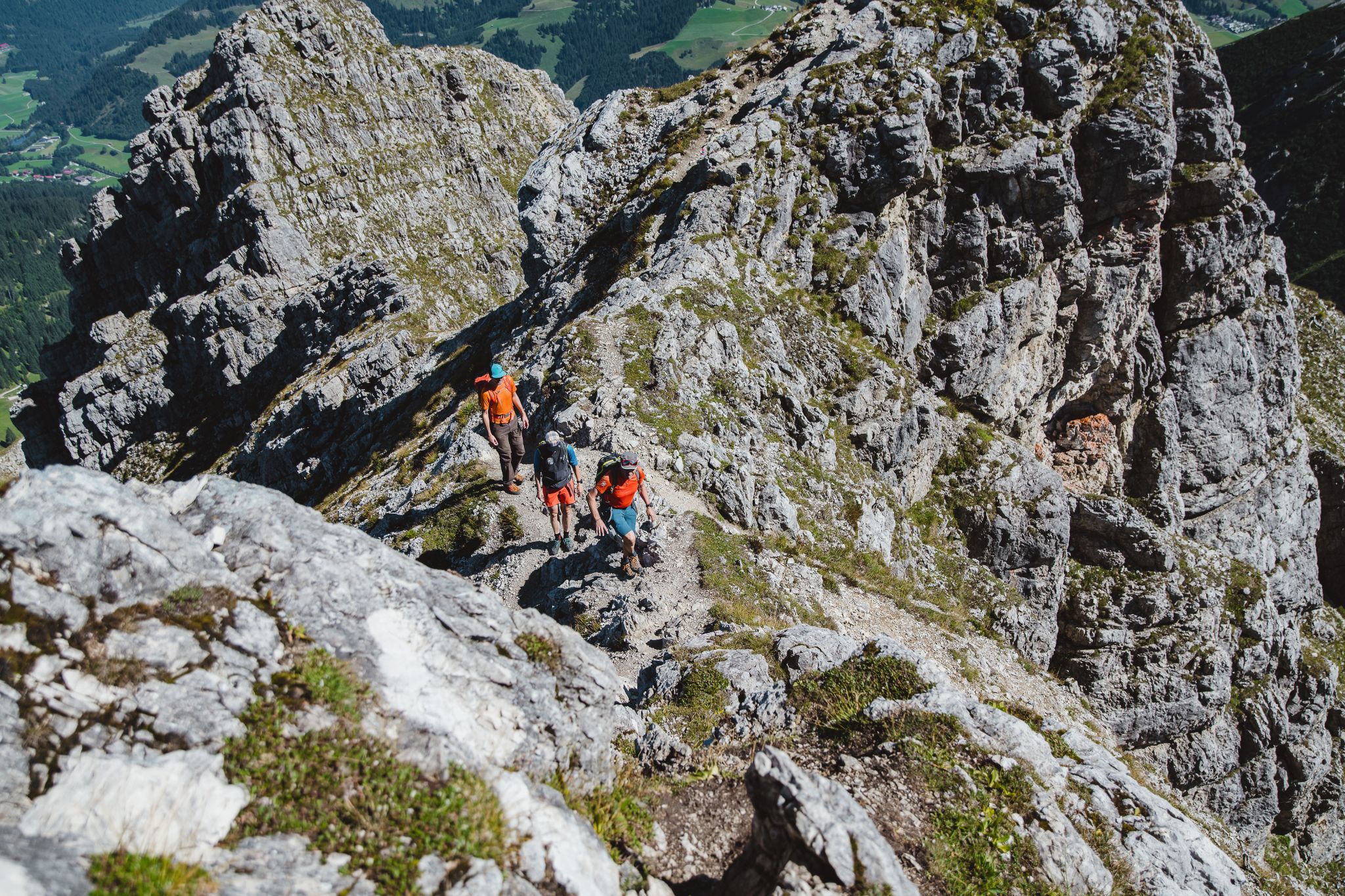
Fantastic day Tours around Bad Hindelang

Climbing Alpine peaks on the Route to the Top – Allgäu hiking trilogy
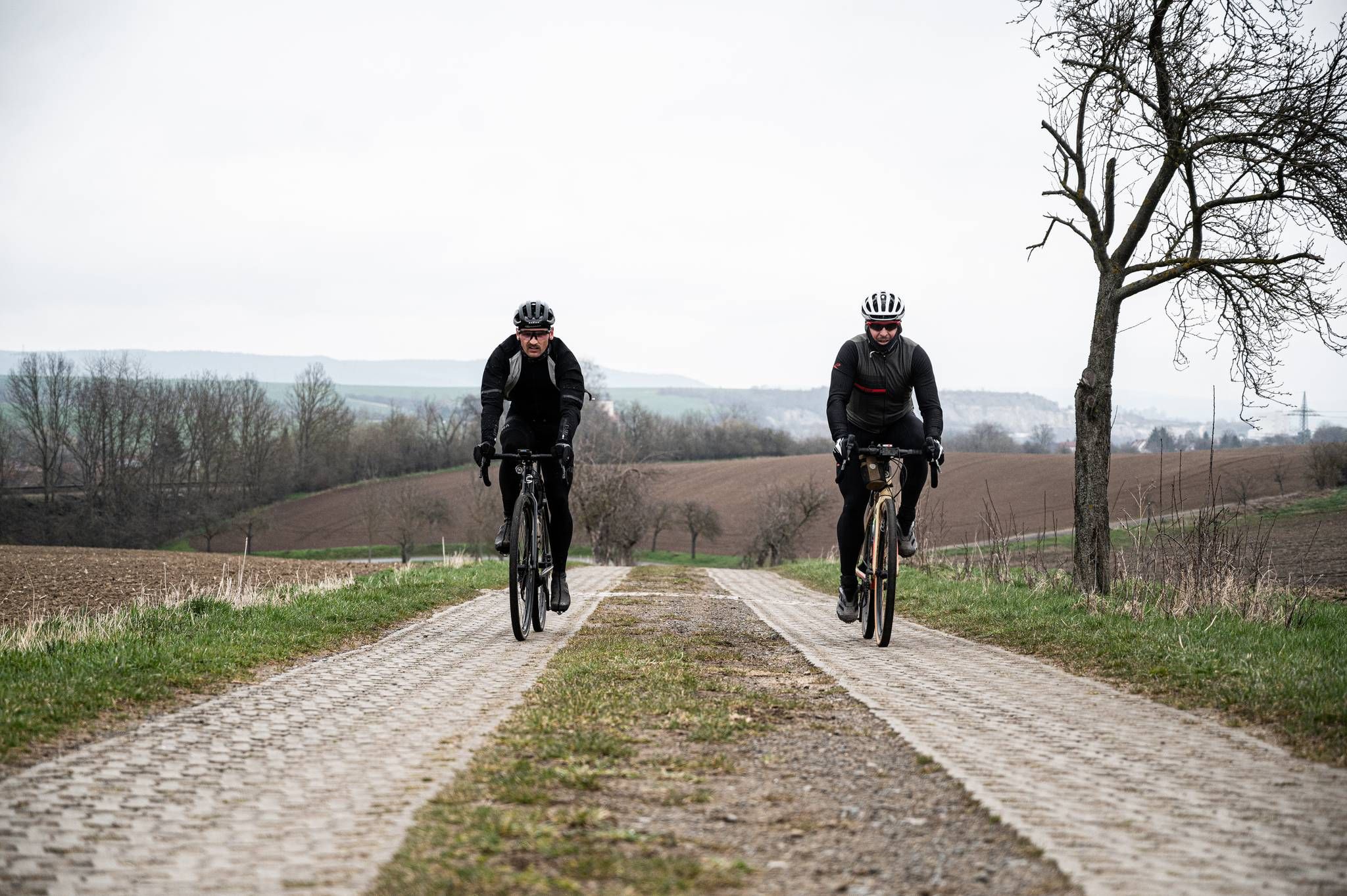
Cycling across Germany – my journey to the southernmost point of Germany
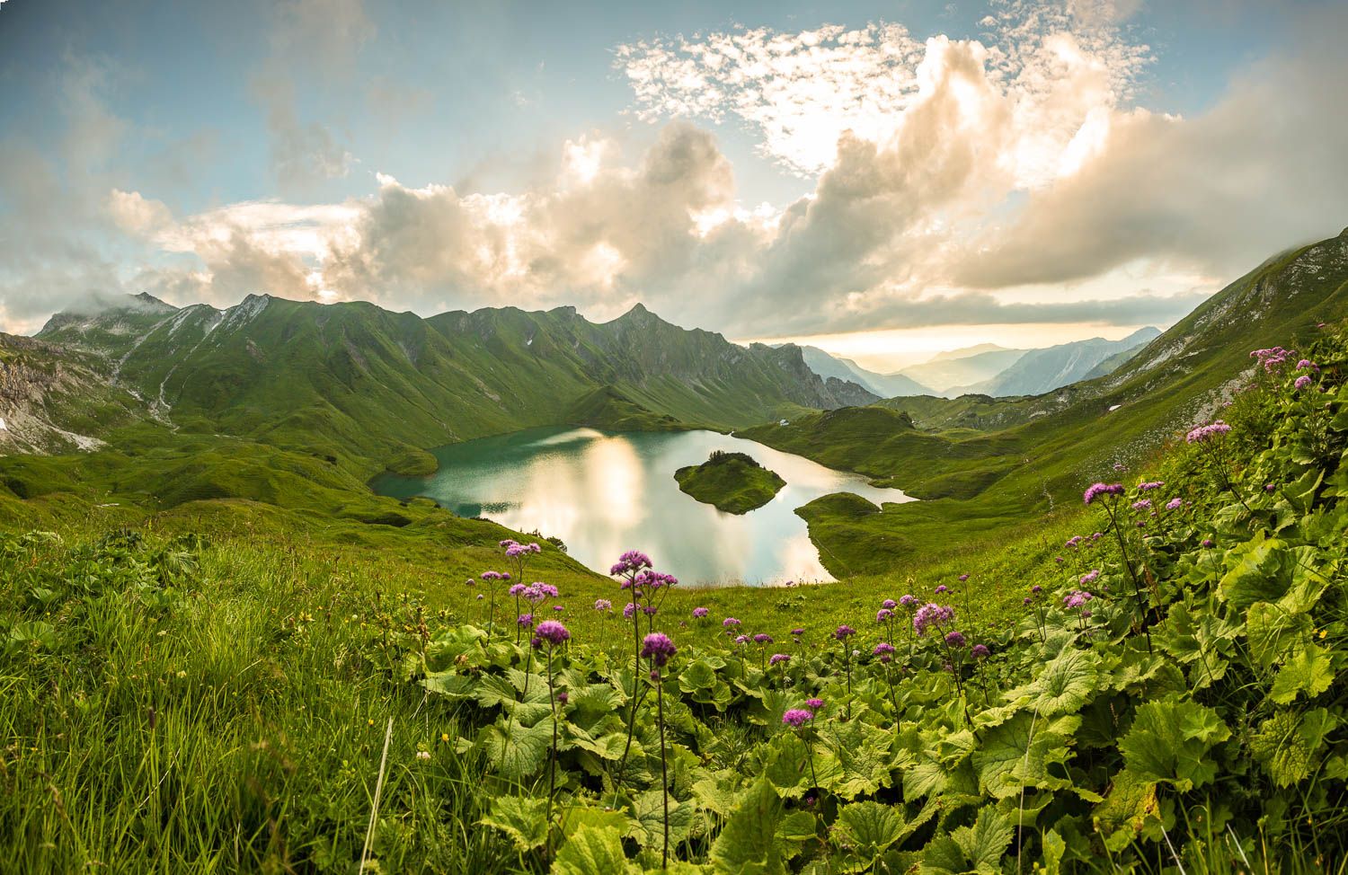
Grenzgänger – 6 Days Long Distance Hiking in Tannheimer Tal
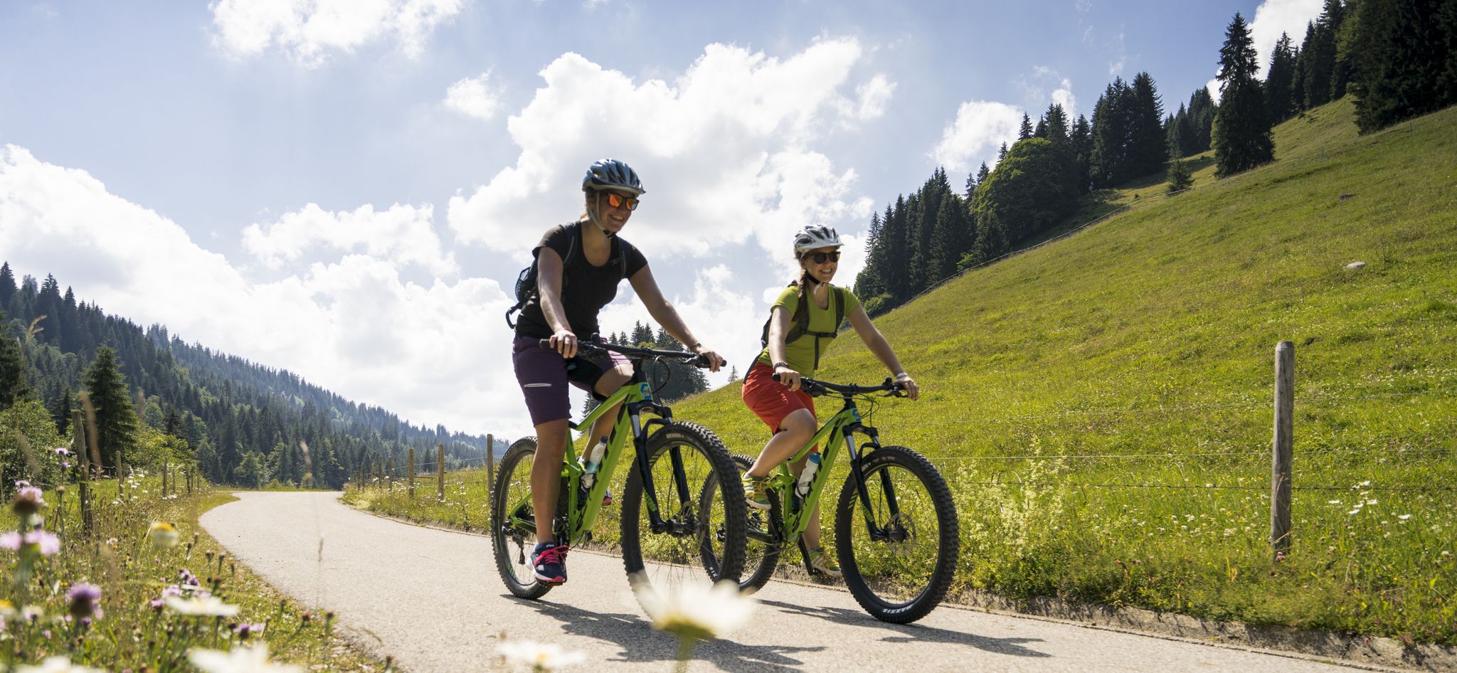
By bike over hill and dale - together outside in Oberstdorf
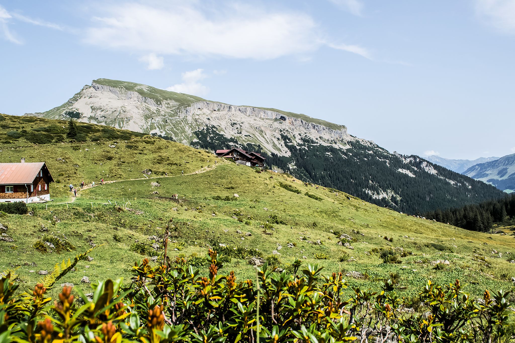
From hut to hut – 4 days through the Kleinwalsertal in Austria
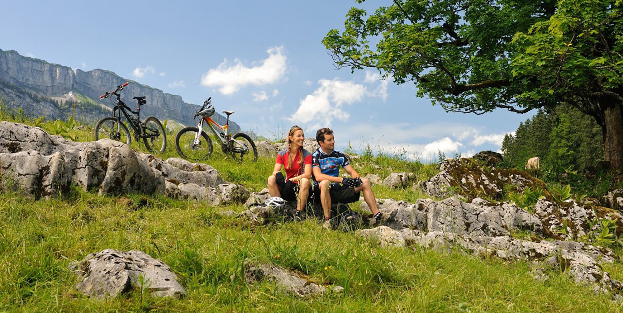
Up and over hills and dales – cycling in Oberstdorf in the Bavarian Alps
Other adventures around Natural Park Allgäuer Hochalpen


Tips from the Community

Dreamlike mountain panorama
1
0

You first have to climb up to the Schwarzenberghütte
0
0

Beautiful view of the ski jump
2
0
Beautiful view from the southern edge of Oberstdorf
3
0


Oytal is a valley near Oberstdorf in the Allgäu region, known for its natural beauty and diverse recreational opportunities. It is a popular hiking area characterized by the Oybach stream and is home to the Oytalhaus and the Stuibenfall waterfall.
0
0


Simply a very beautiful place.
0
0
Frequently Asked Questions
How many touring cycling routes are available in Natural Park Allgäuer Hochalpen?
There are over 600 touring cycling routes available in Natural Park Allgäuer Hochalpen. These routes cater to various skill levels, with approximately 180 easy, 220 moderate, and 200 difficult options to explore.
What kind of terrain can I expect on touring cycling routes in Natural Park Allgäuer Hochalpen?
The terrain in Natural Park Allgäuer Hochalpen is highly varied. You'll encounter significant changes in elevation, from gentle paths through lush valleys and along rivers like the Iller and Ostrach, to challenging mountain passes such as Riedbergpass and Oberjochpass. The landscape features craggy peaks, steep grass mountains, and expansive alpine pastures, offering diverse scenery for every cyclist.
Are there touring cycling routes suitable for beginners or families?
Yes, Natural Park Allgäuer Hochalpen offers numerous easy and family-friendly touring cycling routes, particularly those that follow river valleys or loop around lakes. These paths are often paved and have gentler gradients. An example of a route with moderate climbs suitable for those looking for a slightly longer, yet manageable ride is the Stillach Valley – Birgsau Chapel loop from Riezlern.
What options are there for experienced touring cyclists seeking a challenge?
Experienced touring cyclists will find plenty of challenging routes with significant elevation gains, particularly in the mountainous areas. These routes often traverse demanding mountain passes and offer breathtaking views. The Giebelhaus – Hubertus Chapel loop from Hinterstein is a difficult 31.9 km trail leading through alpine valleys and past mountain chapels, perfect for those seeking a more strenuous ride.
Are there any circular touring cycling routes in the region?
Yes, many touring cycling routes in Natural Park Allgäuer Hochalpen are designed as circular loops, allowing you to start and end at the same point. Examples include the Stillach River – Rappenalp Valley loop from Schwand, which showcases varied alpine scenery, and the Ostrachtal – Ostrachtal Cycle Path (section) loop from Hinterstein, an easier option.
What natural attractions can I see along the touring cycling routes?
The region is rich in natural beauty. Along your rides, you can encounter stunning gorges like the Oytal Valley and the Rappenalp Valley. Beautiful lakes such as the crystal-clear Christlessee and Lower Gaisalp Lake are also accessible. Many routes offer panoramic views of the Allgäu Alps, with peaks like Nebelhorn summit providing spectacular vistas.
Are there any waterfalls accessible by touring bike?
Yes, you can find impressive waterfalls near some touring cycling routes. The Stuibenfall (Oytal) – Oytal Valley loop from Allgäuer Hochalpen is a moderate route that takes you close to the Stuibenfall in the Oytal. Other notable waterfalls in the area include the Hölltobel Waterfall and the View of the Gaisalpsee waterfall, which can be incorporated into your cycling adventures.
What is the best time of year to go touring cycling in Natural Park Allgäuer Hochalpen?
The best time for touring cycling in Natural Park Allgäuer Hochalpen is generally from late spring through early autumn (May to October). During these months, the weather is typically mild, and the alpine pastures are lush. Summer offers the warmest temperatures, while spring and autumn provide beautiful scenery with fewer crowds. Always check local weather conditions before heading out, especially for higher elevation routes.
Is public transport available to access touring cycling routes in the region?
Yes, the Natural Park Allgäuer Hochalpen region has a well-developed public transport network, including buses and trains, which can often be used to reach starting points of cycling routes. Many services are equipped to transport bicycles, though it's advisable to check specific schedules and booking requirements for bike transport in advance.
Are there parking facilities for cyclists at the trailheads?
Yes, many popular starting points for touring cycling routes in Natural Park Allgäuer Hochalpen offer dedicated parking facilities for visitors. These are often located in or near villages and towns that serve as gateways to the park, such as Riezlern or Hinterstein. Look for designated parking areas, especially near trailheads or tourist information centers.
Are there cafes or places to eat along the touring cycling routes?
Absolutely. The region is known for its charming villages and traditional guesthouses. Many touring cycling routes pass through or near towns and hamlets where you can find cafes, restaurants, and alpine huts offering regional delicacies like Allgäu Kässpätzle. These provide excellent opportunities for a break and refreshment during your ride.
What do other touring cyclists enjoy most about the routes in Natural Park Allgäuer Hochalpen?
The touring cycling routes in Natural Park Allgäuer Hochalpen are highly rated by the komoot community, with an average score of 4.6 stars from over 15,000 reviews. Reviewers often praise the stunning and varied landscapes, the well-maintained cycling paths, and the diverse options available for all skill levels. The combination of challenging mountain passes, serene valley rides, and beautiful natural attractions like lakes and gorges is frequently highlighted.
Are there any long-distance touring cycling routes that pass through the Natural Park Allgäuer Hochalpen?
Yes, a major highlight for touring cyclists is the 480-kilometer Allgäu Cycle Route, a four-star awarded route that traverses through magnificent mountain scenery, glittering lakes, and picturesque meadows across Bavaria, Baden-Württemberg, and Tyrol. Sections of this route pass through or are easily accessible from the Natural Park Allgäuer Hochalpen, offering an extensive network for multi-day tours.
Most popular routes around Natural Park Allgäuer Hochalpen
Most popular attractions around Natural Park Allgäuer Hochalpen

Get inspired with the komoot mobile app


Explore more
Browse the best Cycling routes in other regions.
