The best running trails around Natural Park Allgäuer Hochalpen
4.2
(13)
604
runners
27
runs
Jogging around Natural Park Allgäuer Hochalpen offers diverse terrain, from serene valley trails to challenging high-alpine routes. The region, part of the Northern Limestone Alps, features craggy peaks, rugged ridge lines, and steep grass mountains. Runners can explore idyllic valleys, shady forests, and vibrant alpine meadows alongside crystal-clear lakes and rivers like the Iller and Ostrach. This varied landscape provides a wide spectrum of running experiences for all fitness levels.
Best jogging routes around Natural Park Allgäuer Hochalpen
- The most…
Last updated: June 27, 2026
5.0
(3)
106
runners
20.2km
04:03
1,390m
1,390m
Hard run. Very good fitness required. Sure-footedness, sturdy shoes and alpine experience required.
103
runners
17.3km
03:09
1,050m
1,050m
Hard run. Very good fitness required. Sure-footedness, sturdy shoes and alpine experience required.

Sign up for free
37
runners
14.3km
01:48
410m
410m
Hard run. Very good fitness required. Sure-footedness, sturdy shoes and alpine experience required.
34
runners
21.1km
03:43
1,180m
1,180m
Hard run. Very good fitness required. Sure-footedness, sturdy shoes and alpine experience required.
5.0
(6)
33
runners
7.36km
00:51
70m
70m
Moderate run. Good fitness required. Mostly paved surfaces. Suitable for all skill levels.
Get access to more routes and recommendations from other explorers.
Sign up for free
Already have an account?
Our route recommendations are based on thousands of hikes, rides, and runs completed by other people on komoot.
Start today with a free account
Your next adventure awaits.
Login or Signup
Popular around Natural Park Allgäuer Hochalpen

Ibex Tour extended – Crossing the Allgäu Alps

E5 – Hiking across the Alps
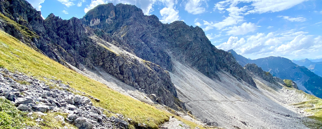
Three peaks, two countries, two days – border hike in the Kleinwalsertal
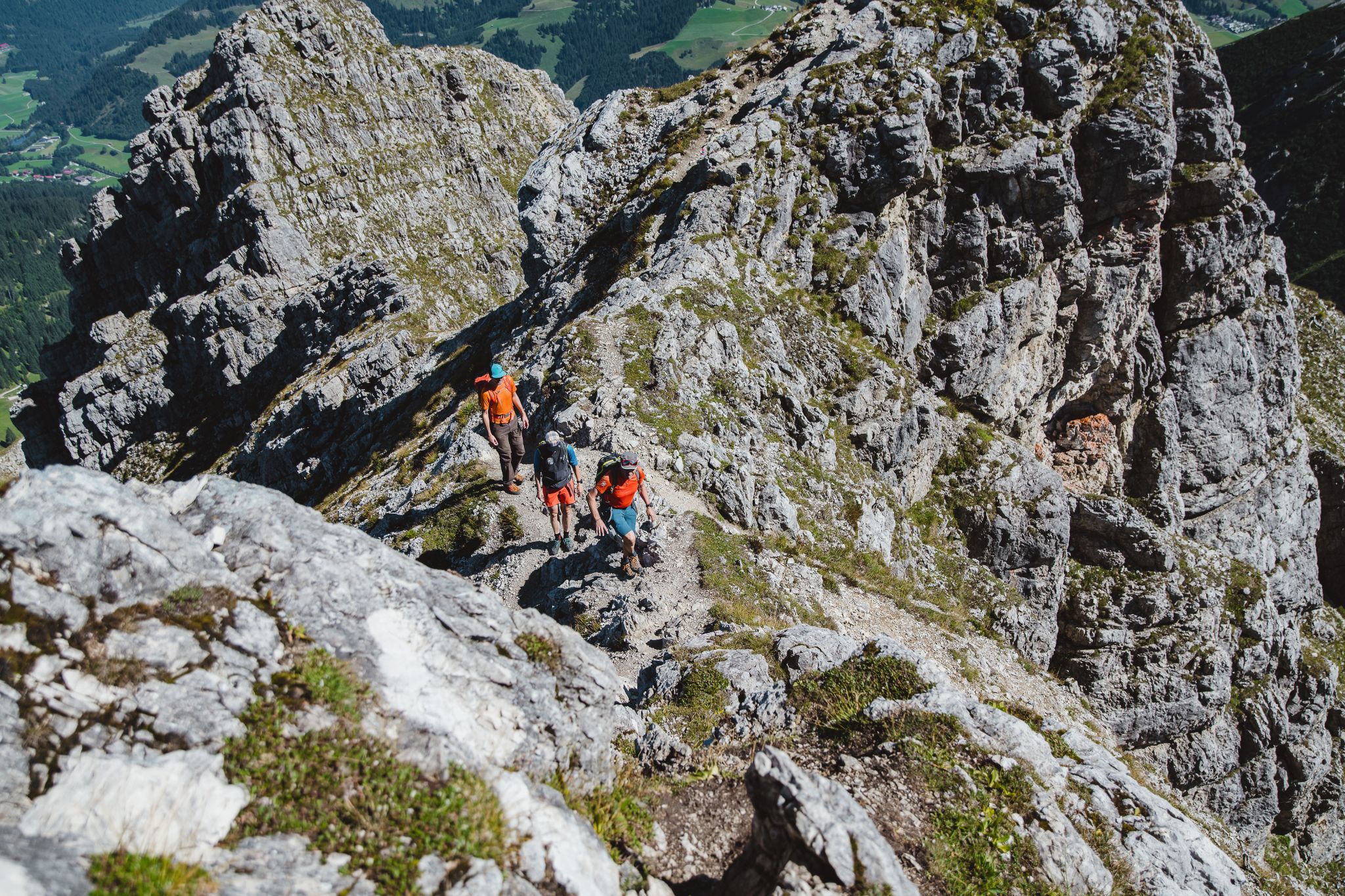
Fantastic day Tours around Bad Hindelang

Climbing Alpine peaks on the Route to the Top – Allgäu hiking trilogy
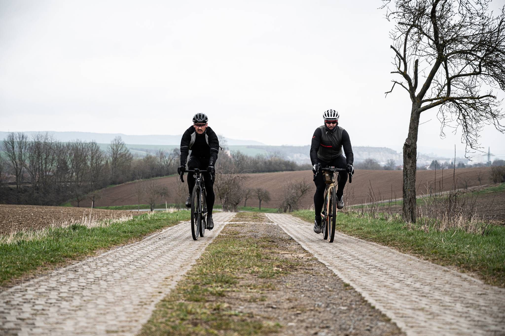
Cycling across Germany – my journey to the southernmost point of Germany
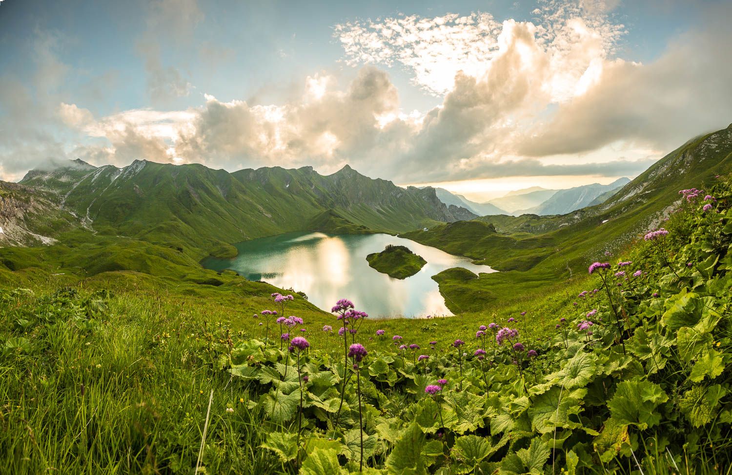
Grenzgänger – 6 Days Long Distance Hiking in Tannheimer Tal
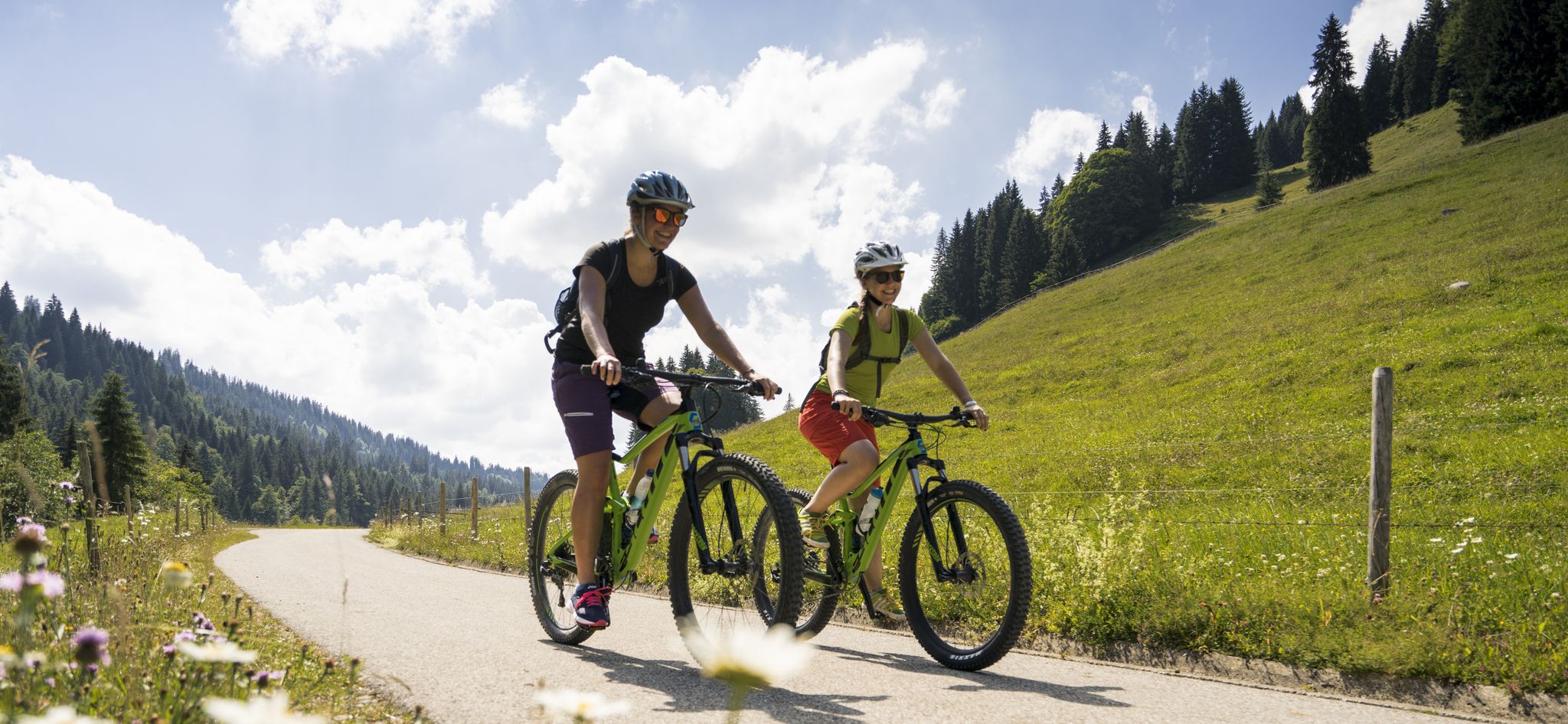
By bike over hill and dale - together outside in Oberstdorf
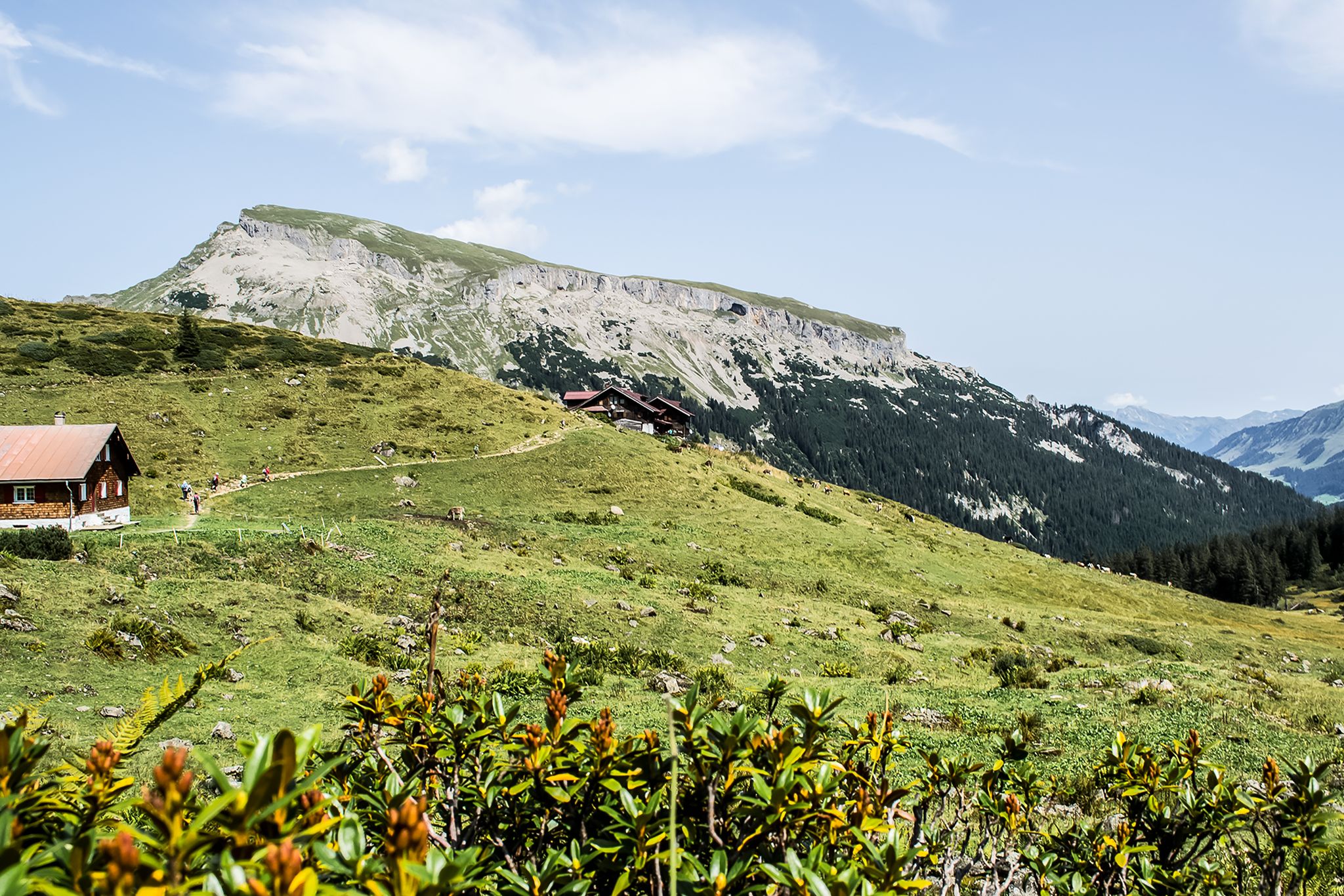
From hut to hut – 4 days through the Kleinwalsertal in Austria
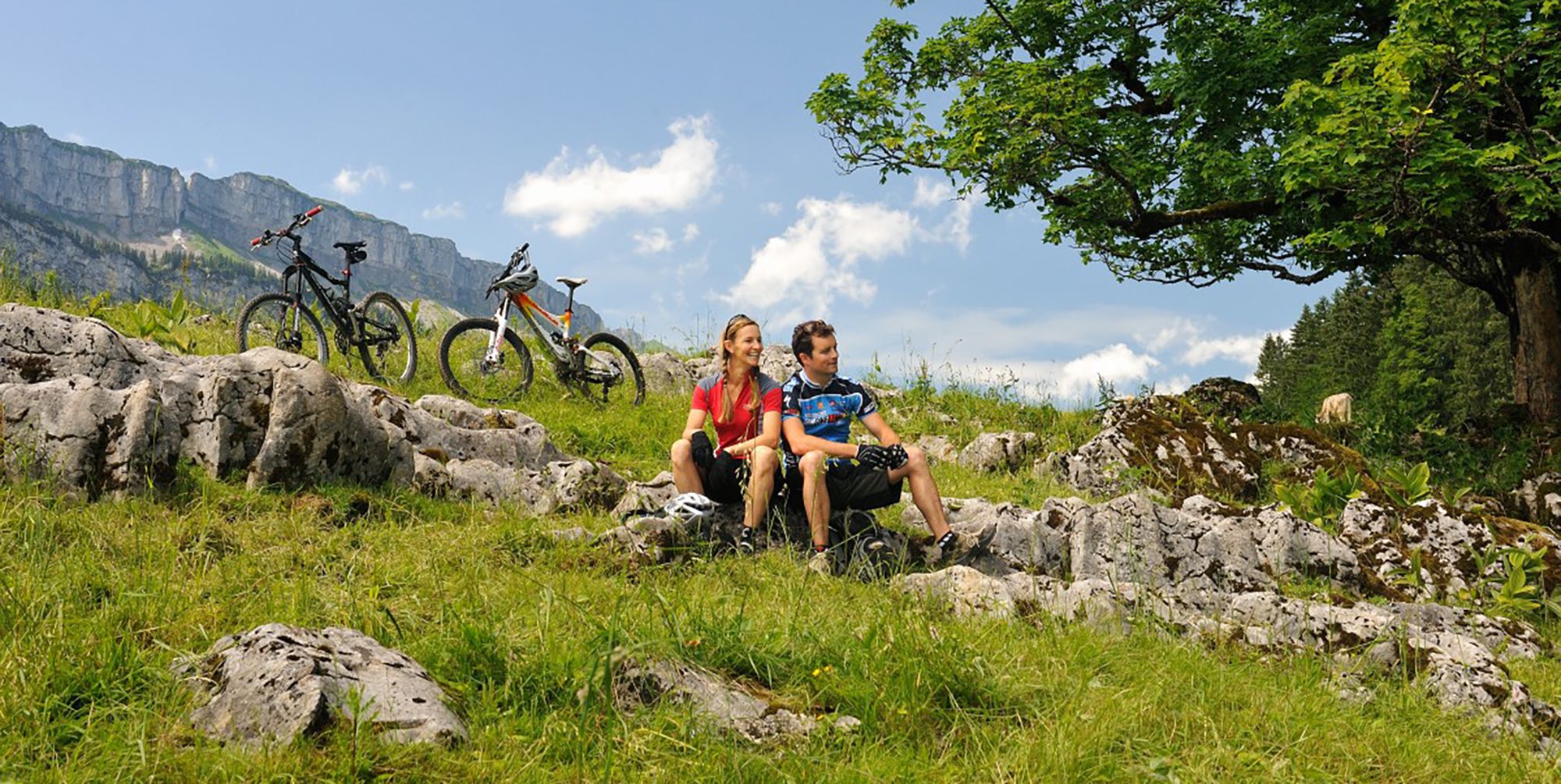
Up and over hills and dales – cycling in Oberstdorf in the Bavarian Alps
Other adventures around Natural Park Allgäuer Hochalpen


Tips from the Community

After overnight stays were temporarily not possible, it has been possible again since early summer 2025 😊
0
0

The Vilsalpsee, beautifully situated and with very clear water.
0
0

Just before the final tough climb to the Rappenseehütte, you can already hear the wheat beer yodeling at the top.
2
0

Ideal starting point for a tour up to Schrecksee... Unfortunately, the parking lot fills up very quickly in the morning, so get there early... The bus also goes from here into the valley if you want to climb the Hochvogel, for example
2
0

Very good food served in a rustic style!
0
0

Parking costs 10€ per day
5
0

It's a shame that the car park doesn't open until 7am. Unfortunately, that's too late for long tours.
1
0

Parking lot "on the hill" Toilets are also on site.
3
0
Frequently Asked Questions
What kind of terrain can I expect on running routes in Natural Park Allgäuer Hochalpen?
The Natural Park Allgäuer Hochalpen offers a highly diverse landscape for runners. You'll find everything from serene valley trails and shady forests to vibrant alpine meadows and challenging high-alpine routes. The region is part of the Northern Limestone Alps, characterized by craggy peaks, rugged ridge lines, and steep grass mountains. Many routes feature minimal asphalt, predominantly following worn paths or cross-country terrain.
Are there running routes suitable for beginners or those looking for an easy run?
Yes, the region caters to all fitness levels. While many routes are challenging, there are also easier options. For instance, the area around Oberstdorf offers trails that lead along the Stillach and Trettach rivers, providing gentler experiences. You can find routes with minimal elevation gain, perfect for a relaxed jog.
How many running routes are available in the Natural Park Allgäuer Hochalpen?
There are over 20 running routes available in the Natural Park Allgäuer Hochalpen, offering a wide range of distances and difficulties. This includes 2 easy routes, 12 moderate routes, and 10 difficult routes, ensuring options for every runner.
What are some notable natural features or landmarks I might see while running?
The region is rich in natural beauty. You can encounter crystal-clear lakes like Christlessee and Lower Gaisalp Lake, as well as impressive waterfalls such as the Gaisalpsee waterfall, Hölltobel Waterfall, and Zipfelsbach Waterfall. Many routes also offer stunning panoramic views, for example, the View of the Seealpsee.
Are there any moderate-difficulty loop trails for running?
Yes, there are several moderate loop trails. A great option is the Ostrach Valley – Landslide at Breitenberg loop from Hinterstein, which is about 7.4 km long with moderate elevation changes. Another scenic choice is the Freibergsee – Freibergsee loop from Schwand, covering approximately 7.7 km.
What do other runners think about the trails in Natural Park Allgäuer Hochalpen?
The running routes in Natural Park Allgäuer Hochalpen are highly rated by the komoot community, with an average score of 3.8 stars from 12 reviews. Over 500 runners have explored the varied terrain, often praising the breathtaking natural panorama of mountains, lakes, and diverse ecosystems.
Are there any long-distance or challenging trail running options?
Absolutely. For experienced and highly fit runners, there are numerous challenging routes. The Alpe Schlappold – Rappenseehütte loop from Faistenoy is a demanding 21.7 km trail through high-alpine scenery, involving significant elevation gain. Some routes even feature technically demanding sections with rope safety and scree fields, traversing almost all vegetation zones of the Allgäuer Hochalpen.
Can I find routes that pass by mountain huts for refreshment stops?
Yes, many trails in the Natural Park Allgäuer Hochalpen offer opportunities for refreshment stops at traditional mountain huts (Alpenhütten). These provide a welcome break and a chance to experience local hospitality amidst your run.
Is the region suitable for family-friendly running or jogging with children?
While some routes are very challenging, the park also offers easier valley trails and paths through forests and meadows that are suitable for families. Look for routes with minimal elevation gain and shorter distances, often found in the lower-lying areas or around lakes, to ensure an enjoyable experience for all.
What is the best time of year to go running in Natural Park Allgäuer Hochalpen?
The best time to go running largely depends on the specific route and your experience level. Valley trails and lower-elevation routes are often accessible year-round. However, for high-alpine routes, late spring through early autumn typically offers the most favorable conditions, avoiding snow and ice. Always check local weather and trail conditions before heading out.
Are there any specific trails that offer panoramic views?
Yes, many routes in the Allgäuer Hochalpen are renowned for their stunning panoramic views. For example, trails around Oberstdorf can offer fantastic vistas into the Oytal valley, passing landmarks like the Käseralpe and Himmeleck, and continuing towards the Laufbacher-Eck and Seealpsee. The varied mountainous terrain ensures numerous viewpoints along the way.
Most popular routes around Natural Park Allgäuer Hochalpen
Most popular attractions around Natural Park Allgäuer Hochalpen

Get inspired with the komoot mobile app


Explore more
Browse the best Running Trails & Routes in other regions.
