The best road cycling routes around Natural Park Allgäuer Hochalpen
4.6
(1417)
40,815
riders
273
rides
Road cycling routes around Natural Park Allgäuer Hochalpen traverse a diverse and mountainous landscape within the Allgäu Alps. The region is characterized by craggy peaks, rugged ridge lines, and steep grass mountains, forming one of Germany's most mountainous areas. Cyclists will find routes winding through idyllic valleys, alongside rivers like the Ostrach and Iller, and past crystal-clear mountain lakes. The geological makeup includes impressive Main Dolomite peaks, contributing to varied terrain suitable for road cycling.
Best road cycling routes around…
Last updated: July 9, 2026
4.8
(4)
154
riders
Moderate road ride. Good fitness required. Mostly well-paved surfaces and easy to ride.
5.0
(2)
67
riders
24.2km
01:22
540m
540m
Moderate road ride. Good fitness required. Mostly well-paved surfaces and easy to ride.

Sign up for free
43
riders
21.8km
01:18
540m
540m
Moderate road ride. Good fitness required. Some segments of this route may be unpaved and difficult to ride.
5.0
(2)
43
riders
35.0km
01:49
630m
620m
Moderate road ride. Good fitness required. Mostly well-paved surfaces and easy to ride.
4.6
(7)
228
riders
30.0km
01:37
560m
560m
Moderate road ride. Good fitness required. Mostly well-paved surfaces and easy to ride.
Get access to more routes and recommendations from other explorers.
Sign up for free
Already have an account?
Our route recommendations are based on thousands of hikes, rides, and runs completed by other people on komoot.
Start today with a free account
Your next adventure awaits.
Login or Signup
Popular around Natural Park Allgäuer Hochalpen

Ibex Tour extended – Crossing the Allgäu Alps

E5 – Hiking across the Alps
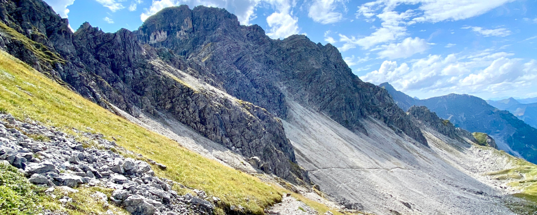
Three peaks, two countries, two days – border hike in the Kleinwalsertal
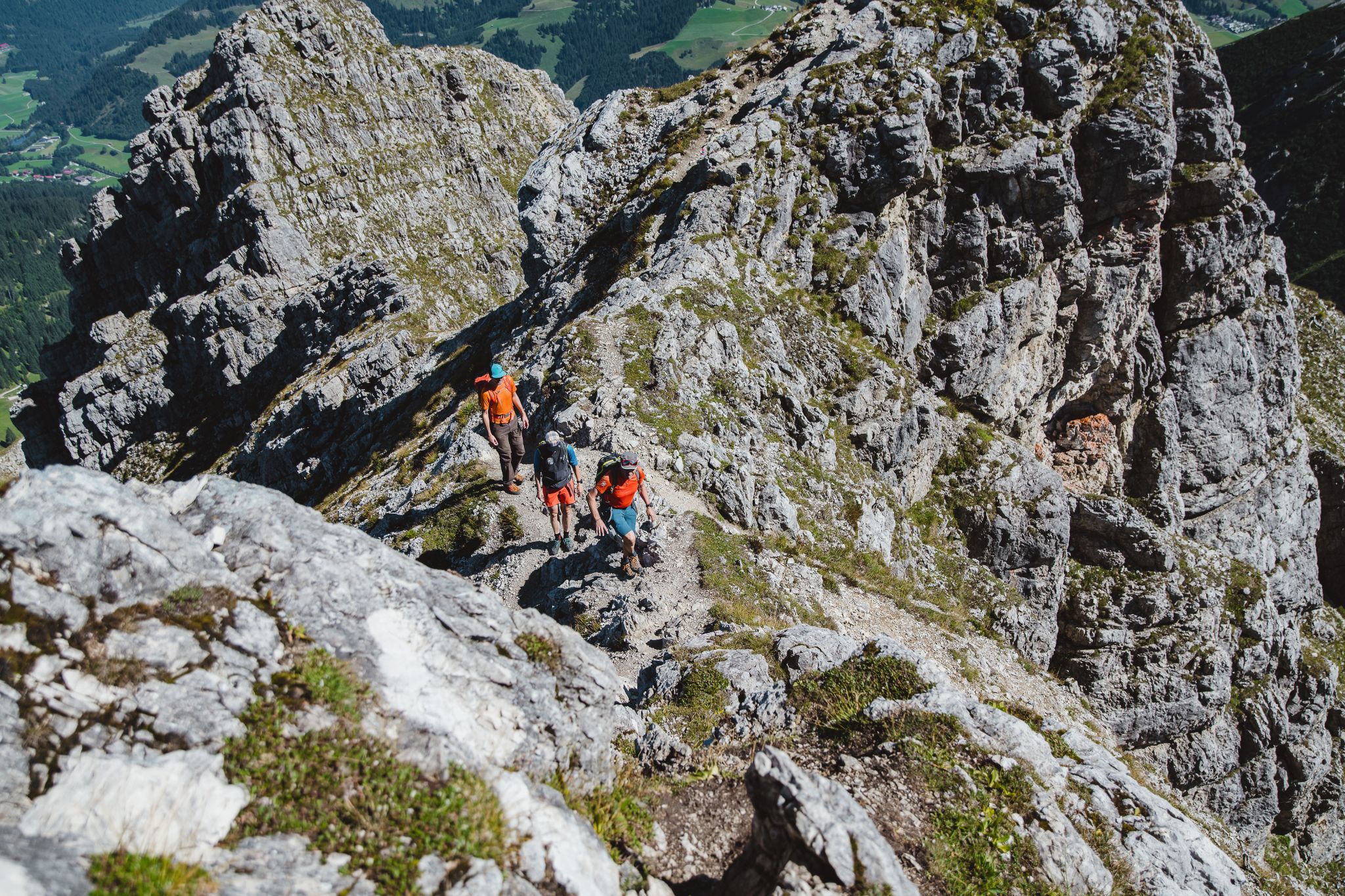
Fantastic day Tours around Bad Hindelang

Climbing Alpine peaks on the Route to the Top – Allgäu hiking trilogy
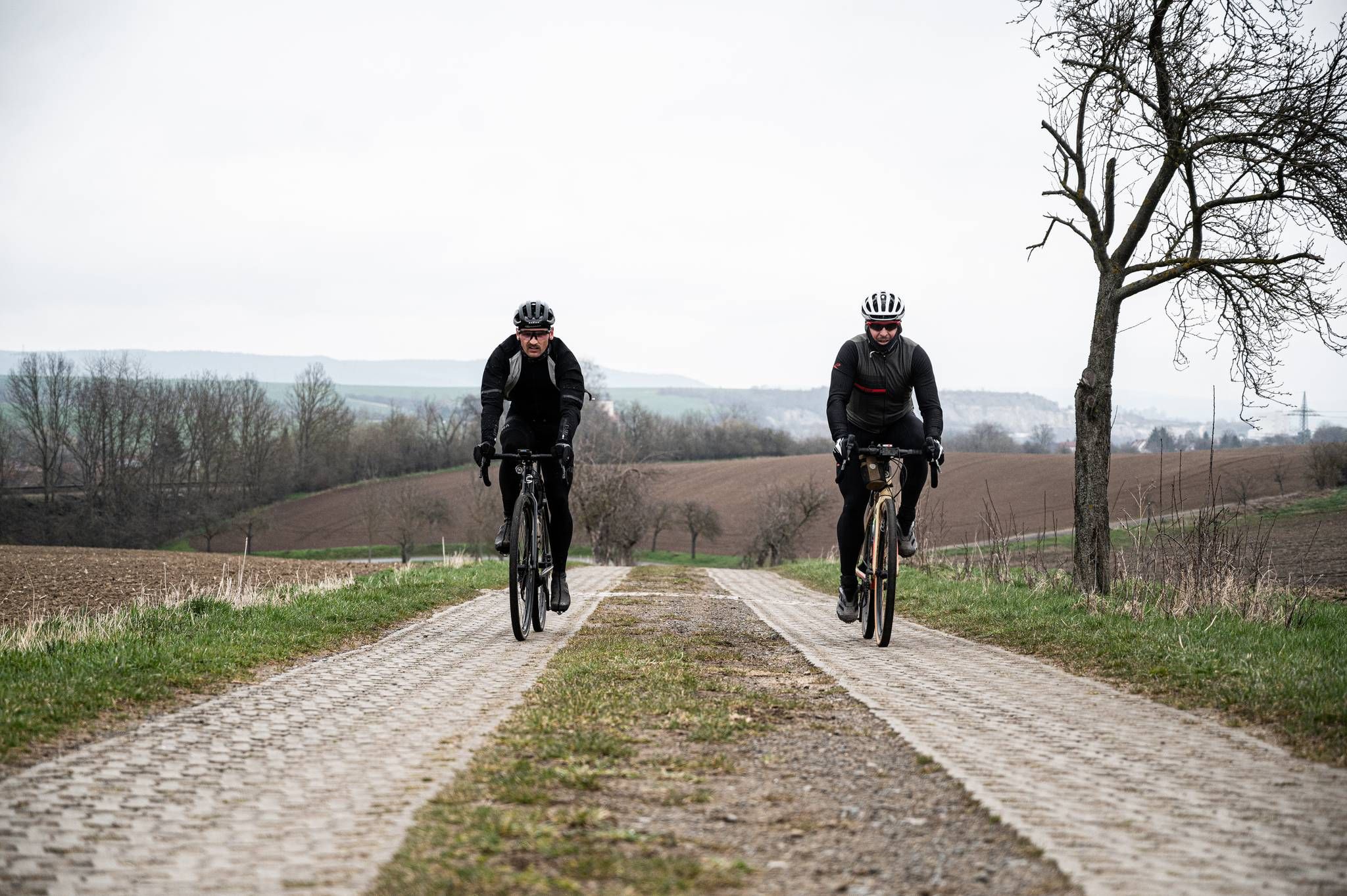
Cycling across Germany – my journey to the southernmost point of Germany
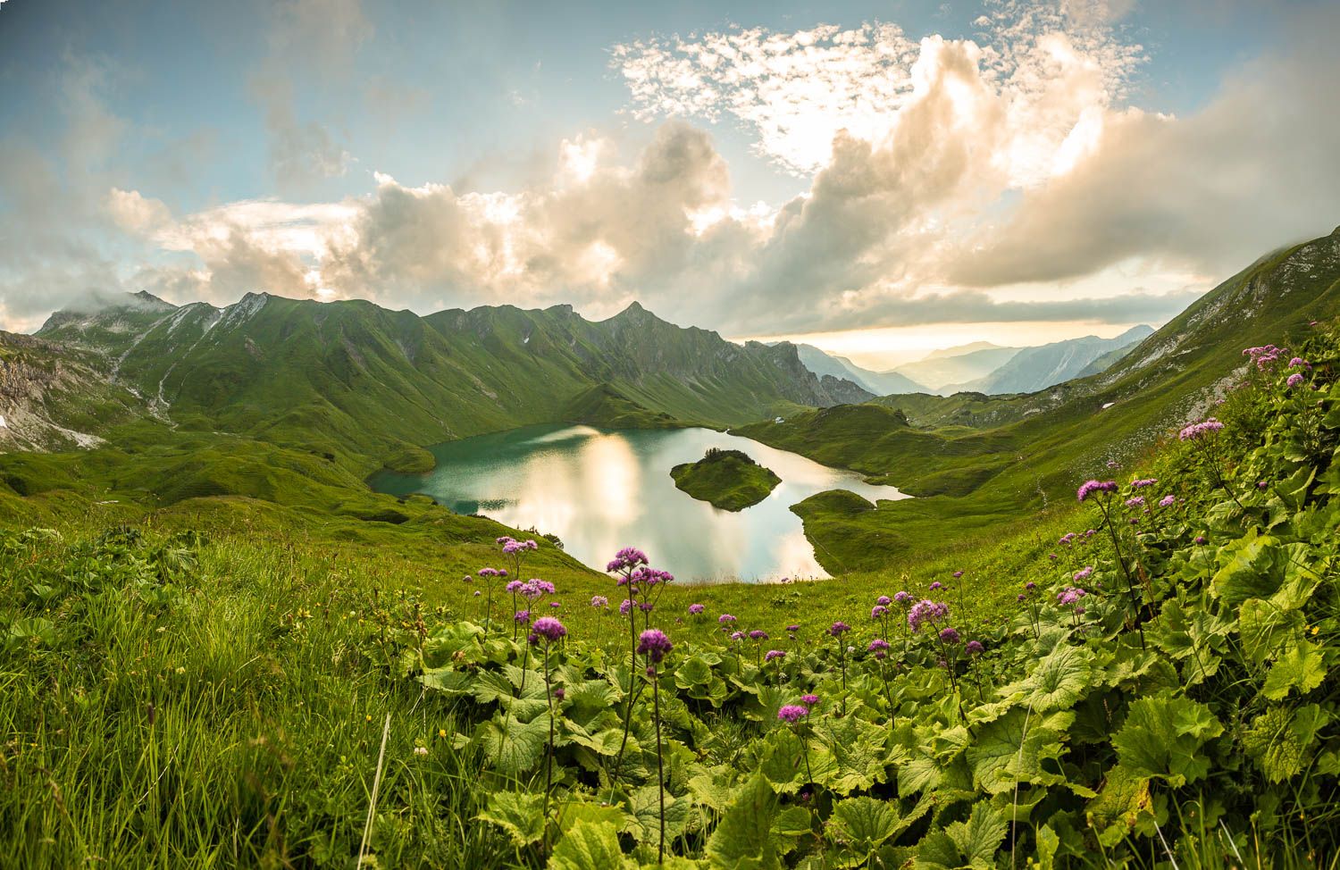
Grenzgänger – 6 Days Long Distance Hiking in Tannheimer Tal
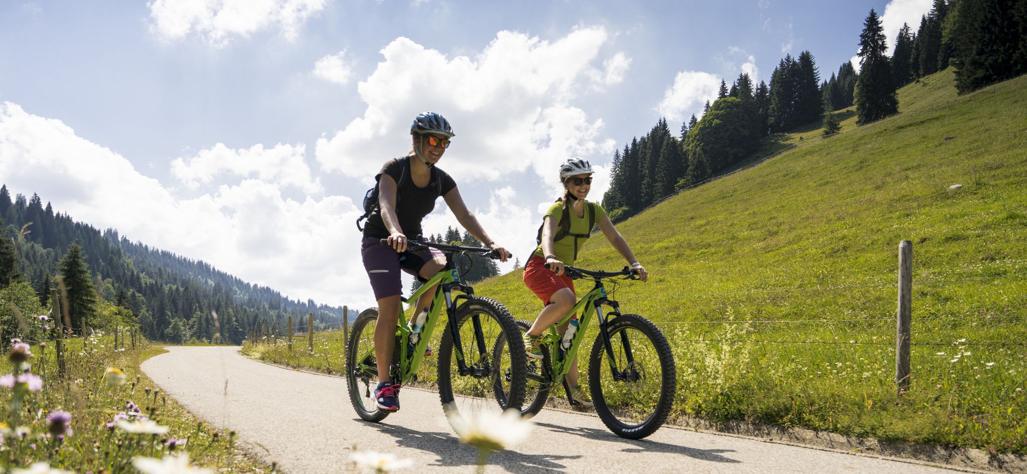
By bike over hill and dale - together outside in Oberstdorf
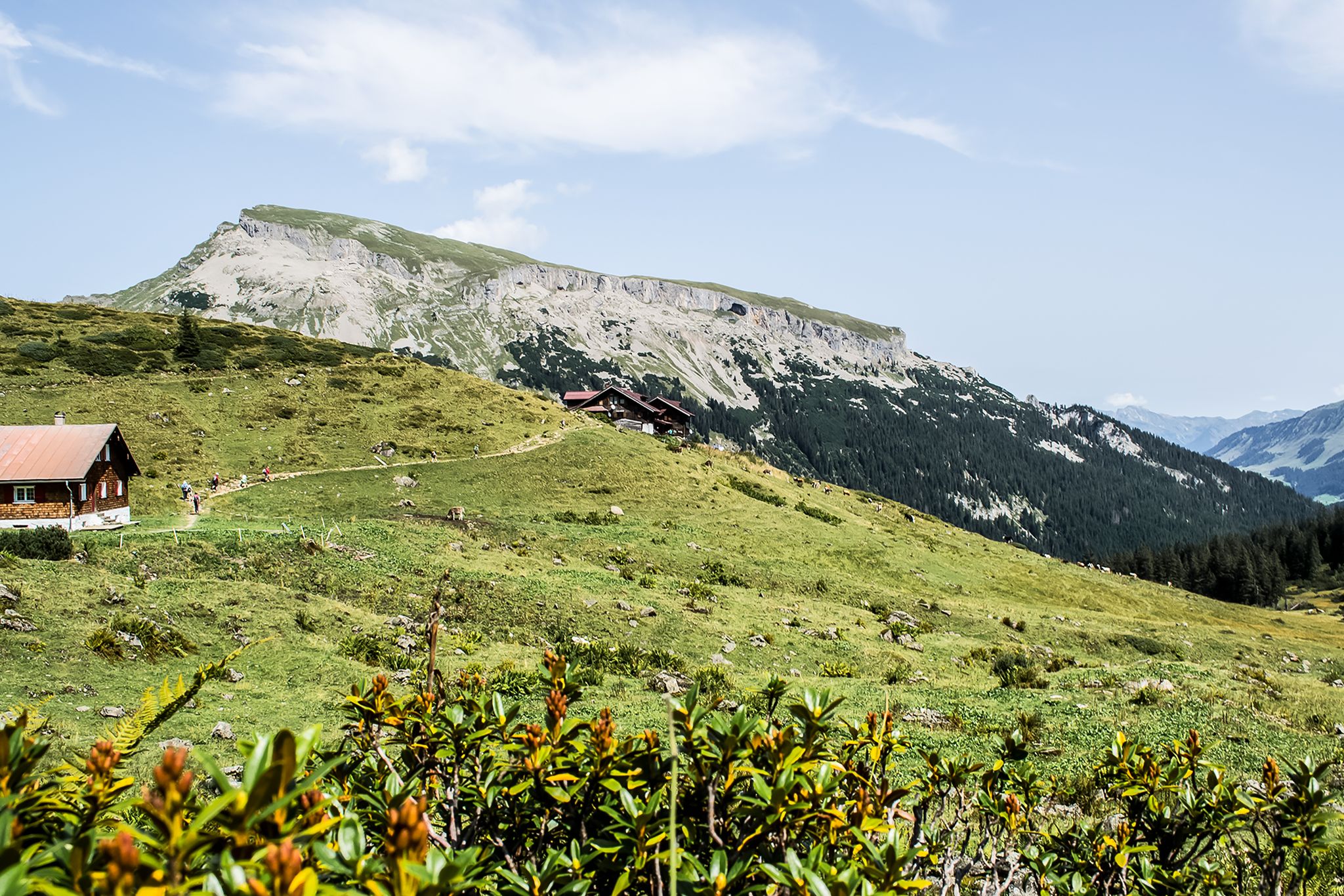
From hut to hut – 4 days through the Kleinwalsertal in Austria
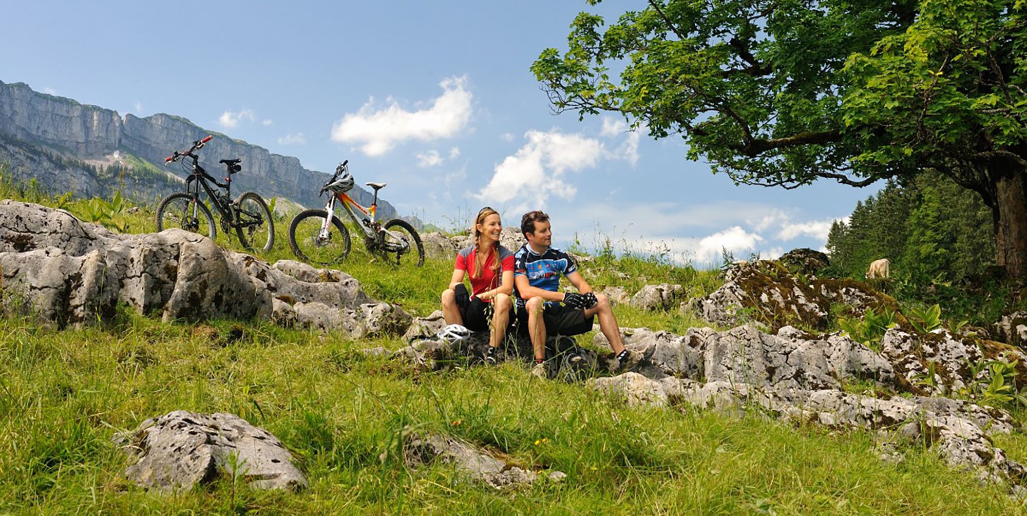
Up and over hills and dales – cycling in Oberstdorf in the Bavarian Alps
Other adventures around Natural Park Allgäuer Hochalpen


Tips from the Community

a beautiful place in the middle of the Allgäu Alps
0
0

Oberjoch lettering on the roundabout
0
0

Despite the traffic, a beautiful and strenuous climb
0
0


Great hiking area. Well signposted, and there's something for all abilities.
1
0

Beautiful crossing over the Haldenwanger Bach. Two options: a) Use the bridge or, like a pensioner, speed through the ford -> resulting in wet feet. You'll be cursed.
1
0

This bench is located near the Hirschsprung under shady trees, with a wonderful view of Obermaiselstein
2
0

The surface is very good and therefore very pleasant to ride. Along the way, you'll pass several huts where you can stop for refreshments. However, most of them don't open until late May/early June.
0
0
Frequently Asked Questions
How many road cycling routes are available in Natural Park Allgäuer Hochalpen?
The Natural Park Allgäuer Hochalpen offers a wide selection of road cycling routes, with over 270 tours available on komoot. These routes cater to various skill levels, including easy, moderate, and challenging options.
What is the overall difficulty level of road cycling routes in Natural Park Allgäuer Hochalpen?
The region provides a diverse range of difficulties. You'll find approximately 67 easy routes, 141 moderate routes, and 68 challenging routes, ensuring options for every experience level from beginners to seasoned cyclists.
What kind of terrain can I expect on road cycling routes in Natural Park Allgäuer Hochalpen?
Road cycling in the Allgäuer Hochalpen features a highly varied and dramatic mountainous terrain. You can expect routes winding through idyllic valleys, alongside rivers like the Ostrach and Iller, and past crystal-clear mountain lakes. The geological makeup includes impressive Main Dolomite peaks, contributing to both flat sections and challenging climbs.
Are there challenging road cycling routes for experienced riders in the Allgäuer Hochalpen?
Yes, for experienced riders seeking a challenge, the Natural Park Allgäuer Hochalpen offers routes with significant elevation gains. An example is the Sausteig Pass summit – View of Grünten loop from Oberstdorf, a difficult 94.2 km route with over 1600 meters of elevation gain.
Are there easy or beginner-friendly road cycling routes in the region?
Absolutely. The region offers numerous easy routes suitable for beginners or those preferring a more relaxed ride. Flatter paths along the Wertach River or around Forggensee, as well as routes around Immenstadt at the Großer Alpsee, are ideal for leisurely cycling. You can find around 67 easy routes in the area.
What scenic viewpoints or landmarks can I expect to see along road cycling routes?
The Allgäuer Hochalpen is rich in breathtaking panoramic views. Cyclists can enjoy stunning backdrops of craggy peaks and rugged ridge lines. Notable viewpoints include those from the Nebelhorn summit or the Rubihorn Summit, which offer expansive vistas of the surrounding Alps.
Are there any notable natural features to explore while road cycling?
Yes, the region is home to several impressive natural features. You might encounter crystal-clear mountain lakes, such as the Christlessee, or ride alongside the Ostrach and Iller rivers. The area also features dramatic gorges like the Oytal Valley and the Hölltobel Waterfall, providing stunning natural backdrops for your ride.
When is the best time of year to go road cycling in Natural Park Allgäuer Hochalpen?
The warmer months are generally the best time for road cycling in the Allgäuer Hochalpen. During this period, the alpine pastures are dotted with dairy cows, and the weather is more favorable for exploring the diverse landscapes. Always check local weather conditions, as mountain weather can change rapidly.
Are there family-friendly road cycling options in Natural Park Allgäuer Hochalpen?
Yes, the region offers several family-friendly road cycling options. Many well-developed cycling paths wind through picturesque valleys and alongside rivers, providing mostly paved and less challenging routes suitable for families. Areas around Immenstadt at the Großer Alpsee are particularly noted for their suitability for family cycling.
Can I find circular road cycling routes in the Allgäuer Hochalpen?
Yes, many road cycling routes in the Allgäuer Hochalpen are designed as loops, allowing you to start and end at the same point. For example, the Giebelhaus – Giebelhaus Mountain Inn loop from Hinterstein is a popular moderate circular route leading through mountain scenery.
What do other cyclists say about road cycling in Natural Park Allgäuer Hochalpen?
The road cycling routes in Natural Park Allgäuer Hochalpen are highly rated by the komoot community, with an average score of 4.7 stars from over 1200 reviews. Cyclists often praise the stunning mountain scenery, the variety of routes for all skill levels, and the well-maintained paths that wind through idyllic valleys and past charming villages.
What are the options for parking and public transport when accessing road cycling routes?
The Allgäu region, including areas around Oberstdorf and Sonthofen, generally provides good infrastructure for cyclists. This often includes designated parking areas near popular trailheads. Public transport options, such as buses, may also be available to help access certain starting points, especially in major towns.
Most popular routes around Natural Park Allgäuer Hochalpen
Most popular attractions around Natural Park Allgäuer Hochalpen

Get inspired with the komoot mobile app


Explore more
Browse the best Road cycling routes in other regions.
