The best walks and hikes around Natural Park Allgäuer Hochalpen
4.6
(142966)
659,494
hikers
120
hikes
Hiking around Natural Park Allgäuer Hochalpen offers diverse experiences within one of Germany's largest nature reserves. The region is characterized by mountainous terrain, including craggy peaks and distinctive "grass mountains," with the Allgäu Alps forming its core. Numerous mountain lakes, such as Schrecksee and Christlesee, are fed by springs, while the Ostrach and Iller rivers mark parts of its boundaries. Expansive alpine pastures are also a prominent feature, providing open landscapes.
Best hiking trails around Natural Park Allgäuer Hochalpen
- The…
Last updated: July 8, 2026
4.8
(274)
1,237
hikers
13.9km
07:01
1,200m
1,210m
Hard hike. Very good fitness required. Mostly accessible paths. Sure-footedness required.
4.7
(264)
1,269
hikers
9.31km
05:12
880m
880m
Hard hike. Very good fitness required. Mostly accessible paths. Sure-footedness required.

Sign up for free
4.7
(189)
889
hikers
21.3km
07:43
1,210m
1,220m
Hard hike. Very good fitness required. Mostly accessible paths. Sure-footedness required.
975
hikers
15.5km
06:52
1,030m
1,030m
Hard hike. Very good fitness required. Mostly accessible paths. Sure-footedness required.
4.8
(259)
1,206
hikers
11.4km
03:17
250m
250m
Moderate hike. Good fitness required. Mostly accessible paths. Sure-footedness required.
Get access to more routes and recommendations from other explorers.
Sign up for free
Already have an account?
Our route recommendations are based on thousands of hikes, rides, and runs completed by other people on komoot.
Start today with a free account
Your next adventure awaits.
Login or Signup
Popular around Natural Park Allgäuer Hochalpen

Ibex Tour extended – Crossing the Allgäu Alps

E5 – Hiking across the Alps
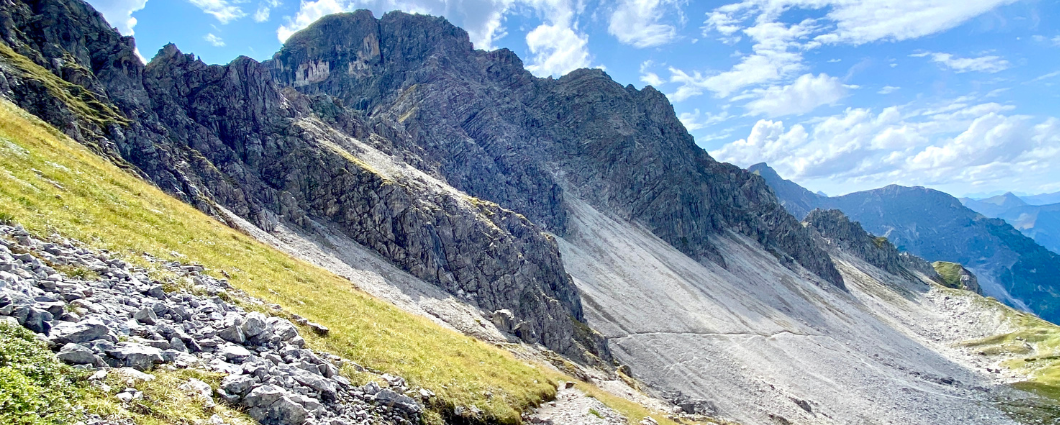
Three peaks, two countries, two days – border hike in the Kleinwalsertal
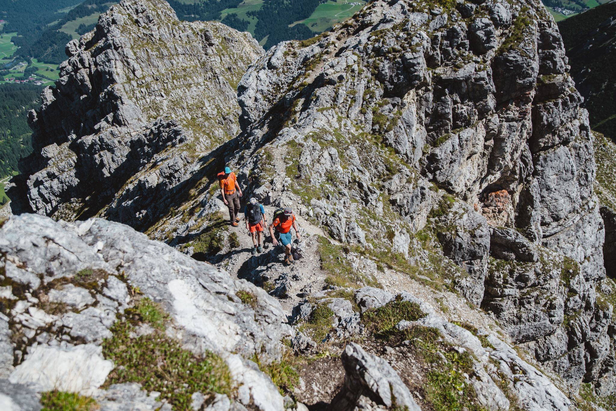
Fantastic day Tours around Bad Hindelang

Climbing Alpine peaks on the Route to the Top – Allgäu hiking trilogy
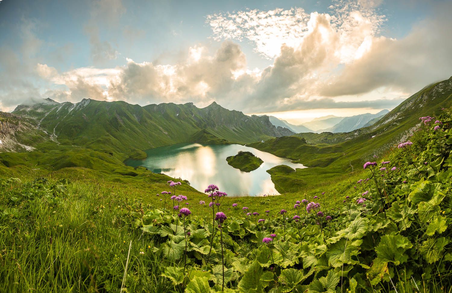
Grenzgänger – 6 Days Long Distance Hiking in Tannheimer Tal
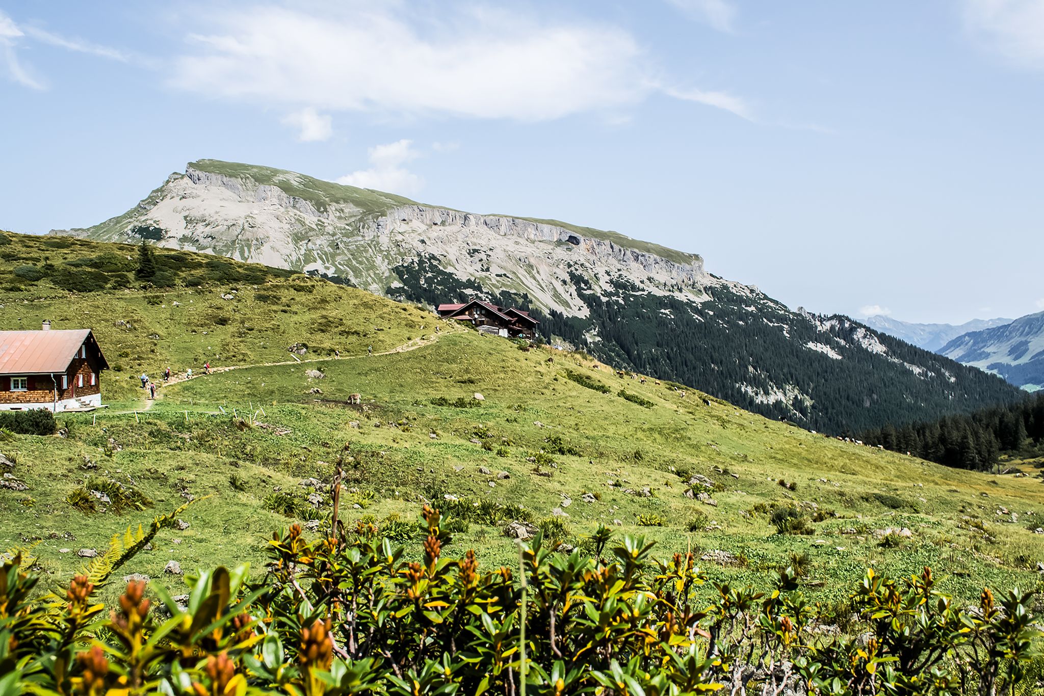
From hut to hut – 4 days through the Kleinwalsertal in Austria
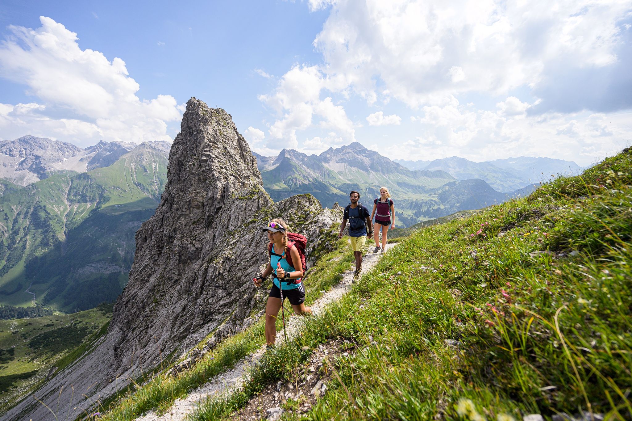
A hiker's paradise in Oberstdorf: Three altitudes packed with nature
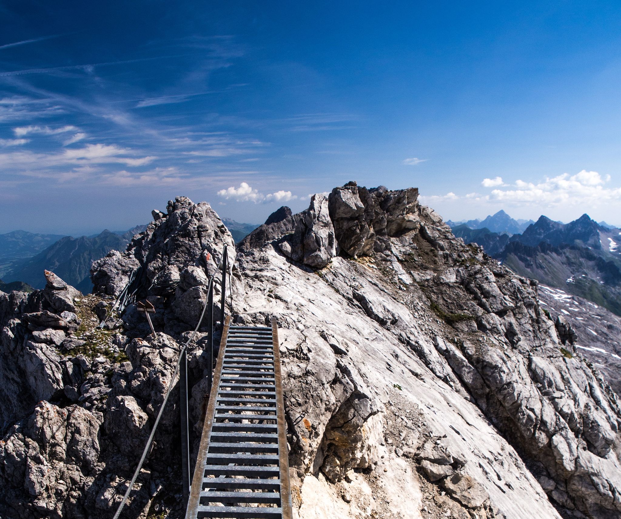
3 stages of summit happiness in Germany’s Allgäu – Heilbronner Way
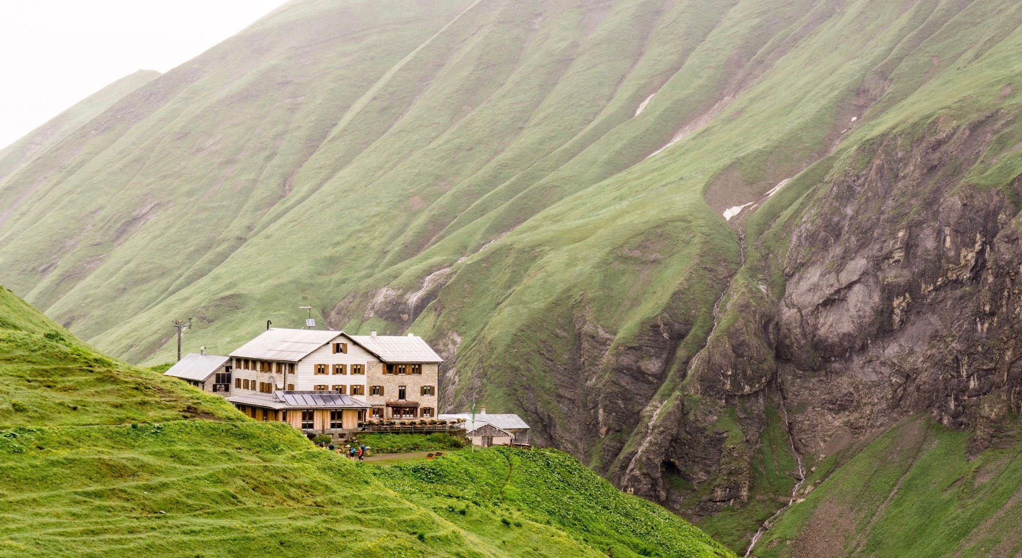
Huts for romantic getaways
Other adventures around Natural Park Allgäuer Hochalpen


Tips from the Community

the cycle path from Oberstdorf up to Spielmannsau along the Stillach and past the Christlsee is also a beautiful experience
0
0

Beautiful route on the way to boundary stone 147.
0
0

Simply a fantastic hike! Since I'm not afraid of heights, I was skeptical, but I had no problems! Two sections after the Fellhorn summit were secured with ropes, but they weren't dangerous. In dry conditions and with good footwear, I highly recommend it!
4
1

The Kleinwalsertal is a very beautiful valley for hiking.
0
0

Magnificent
0
0
Frequently Asked Questions
How many hiking trails are available in Natural Park Allgäuer Hochalpen?
The Natural Park Allgäuer Hochalpen offers a vast network of trails, with over 100 hiking routes available on komoot. These range from easy walks to challenging high-alpine ascents, catering to all fitness levels.
Are there easy hiking trails suitable for beginners or families?
Yes, the region has a good selection of easier trails. There are over 20 easy routes available, perfect for beginners or families looking for less strenuous options. These often feature gentle elevation gains and picturesque views of the alpine pastures.
What are some challenging hikes for experienced trekkers?
For experienced hikers, the Natural Park Allgäuer Hochalpen offers over 50 difficult routes. A demanding but rewarding option is the Schrecksee – Schrecksee in the Allgäu loop from Wildschutzgebiet Mösle, which leads to the stunning mountain lake, Schrecksee. Another challenging route is the Two alpine pastures tour over the Ponten - Allgäu Alps, known for its significant elevation gain and expansive alpine views.
Are there any circular hiking routes in the Natural Park Allgäuer Hochalpen?
Yes, many trails in the Natural Park Allgäuer Hochalpen are designed as circular routes, allowing you to start and end at the same point. An example of a moderate circular route is the Einödbach Chapel – Petersalpe Mountain Hut loop from Faistenoy, which takes you through varied mountain landscapes.
Can I find hikes that pass by lakes or waterfalls?
Absolutely. The region is dotted with beautiful mountain lakes and impressive waterfalls. You can explore trails that lead to the stunning Schrecksee or the crystal-clear Christlessee. For waterfalls, consider routes near the View of the Gaisalpsee waterfall, offering dramatic natural scenery.
What kind of wildlife can I expect to see while hiking?
The diverse ecosystems of the Allgäuer Hochalpen support a rich variety of flora and fauna. Hikers might spot alpine marmots, ibex, chamois, wood grouse, black grouse, and birds of prey like golden eagles, especially in quieter, higher-altitude areas. The park is dedicated to protecting these species and their habitats.
Are there mountain huts along the trails for rest or refreshments?
Yes, the region features numerous mountain huts, providing excellent opportunities for rest, refreshments, and even overnight stays. These huts are often strategically located along popular hiking routes, offering a chance to experience traditional alpine hospitality.
What are some notable landmarks or attractions to see in the Natural Park Allgäuer Hochalpen?
Beyond the trails, the park offers several notable attractions. You can visit the serene Lower Gaisalp Lake, the unique Christlessee, or explore the scenic Oytal Valley. For panoramic views, consider taking a cable car up to the Nebelhorn summit.
What do other hikers enjoy most about the Natural Park Allgäuer Hochalpen?
The Natural Park Allgäuer Hochalpen is highly rated by the komoot community, with an average score of 4.7 stars from over 15,700 reviews. Hikers frequently praise the majestic mountainous terrain, pristine mountain lakes, and verdant alpine pastures, as well as the well-maintained and diverse network of trails.
When is the best time of year to go hiking in the Allgäuer Hochalpen?
The best time for hiking generally spans from late spring to early autumn (May to October). During this period, trails are typically clear of snow, and the alpine pastures are lush. High-altitude routes, like those to Schrecksee, can have snow until early summer, so checking conditions is always advisable. Winter offers opportunities for snowshoeing or winter hiking on designated trails.
Are there any less crowded hiking options for a more peaceful experience?
While popular spots like Schrecksee can attract many visitors, the vastness of the Natural Park Allgäuer Hochalpen allows for quieter experiences. Exploring trails in the Oytal Valley or seeking out routes that venture deeper into the 'grass mountains' can offer more solitude. Early mornings or weekdays are also good times to find more peaceful moments on the trails.
Most popular routes around Natural Park Allgäuer Hochalpen
Most popular attractions around Natural Park Allgäuer Hochalpen

Get inspired with the komoot mobile app


Explore more
Browse the best Hikes in other regions.
