The best waterfall hikes and walks around Natural Park Allgäuer Hochalpen
4.6
(142966)
659,494
hikers
124
hikes
Waterfall hiking trails around Natural Park Allgäuer Hochalpen traverse a landscape characterized by dramatic changes in elevation, encompassing craggy peaks, rugged ridge lines, and steep grass mountains. The region features an abundance of picturesque lakes, expansive alpine pastures, and serene valleys. Shady forests and intricate ravines further diversify the scenery, alongside unique geological formations like the Nagelfluhkette.
Best waterfall hiking trails around Natural Park Allgäuer Hochalpen
- The most popular waterfall hiking route is Zipfelsbach Waterfall – Zipfelsalpe loop from Hinterstein…
Last updated: July 8, 2026
4.8
(155)
580
hikers
Moderate hike. Good fitness required. Mostly accessible paths. Sure-footedness required.
4.7
(83)
427
hikers
7.76km
04:03
650m
650m
Moderate hike. Good fitness required. Mostly accessible paths. Sure-footedness required.

Sign up for free
4.6
(83)
332
hikers
12.6km
03:42
290m
290m
Moderate hike. Good fitness required. Mostly accessible paths. Sure-footedness required.
4.7
(66)
327
hikers
12.0km
06:07
950m
950m
Hard hike. Very good fitness required. Sure-footedness, sturdy shoes and alpine experience required.
4.8
(40)
213
hikers
14.1km
06:51
1,040m
1,040m
Hard hike. Very good fitness required. Sure-footedness, sturdy shoes and alpine experience required.
Get access to more routes and recommendations from other explorers.
Sign up for free
Already have an account?
Our route recommendations are based on thousands of hikes, rides, and runs completed by other people on komoot.
Start today with a free account
Your next adventure awaits.
Login or Signup
Popular around Natural Park Allgäuer Hochalpen

Ibex Tour extended – Crossing the Allgäu Alps

E5 – Hiking across the Alps
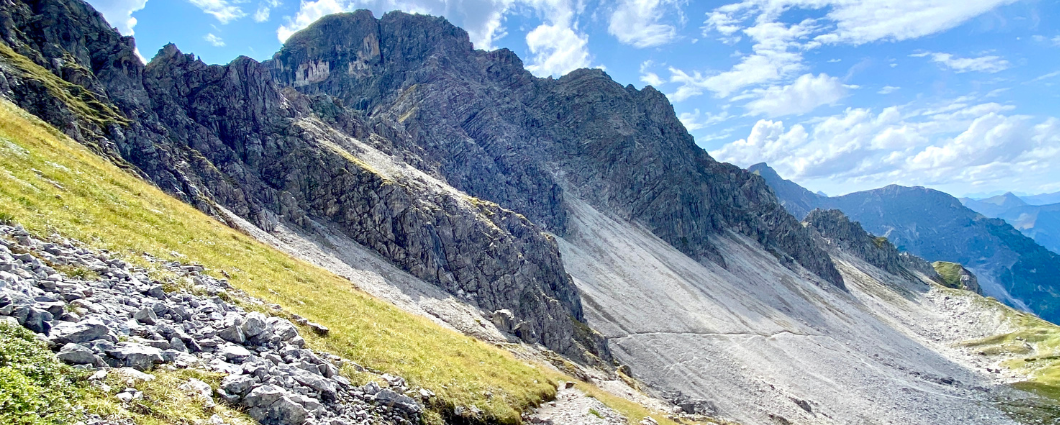
Three peaks, two countries, two days – border hike in the Kleinwalsertal
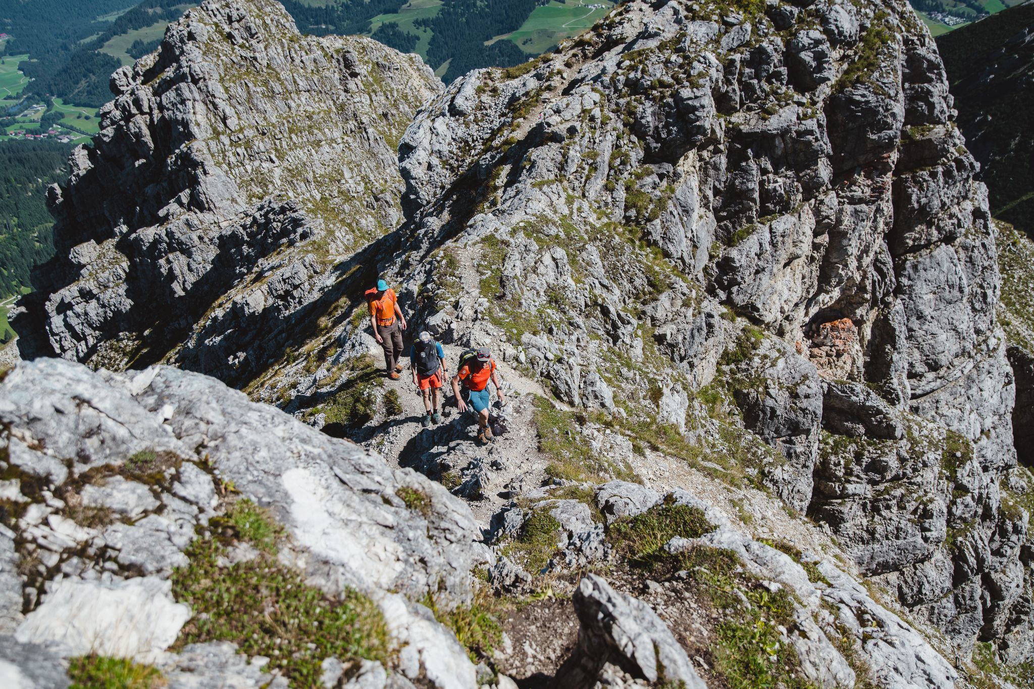
Fantastic day Tours around Bad Hindelang

Climbing Alpine peaks on the Route to the Top – Allgäu hiking trilogy
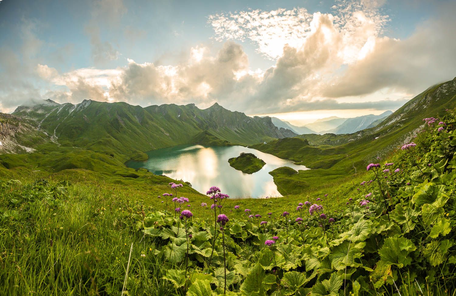
Grenzgänger – 6 Days Long Distance Hiking in Tannheimer Tal
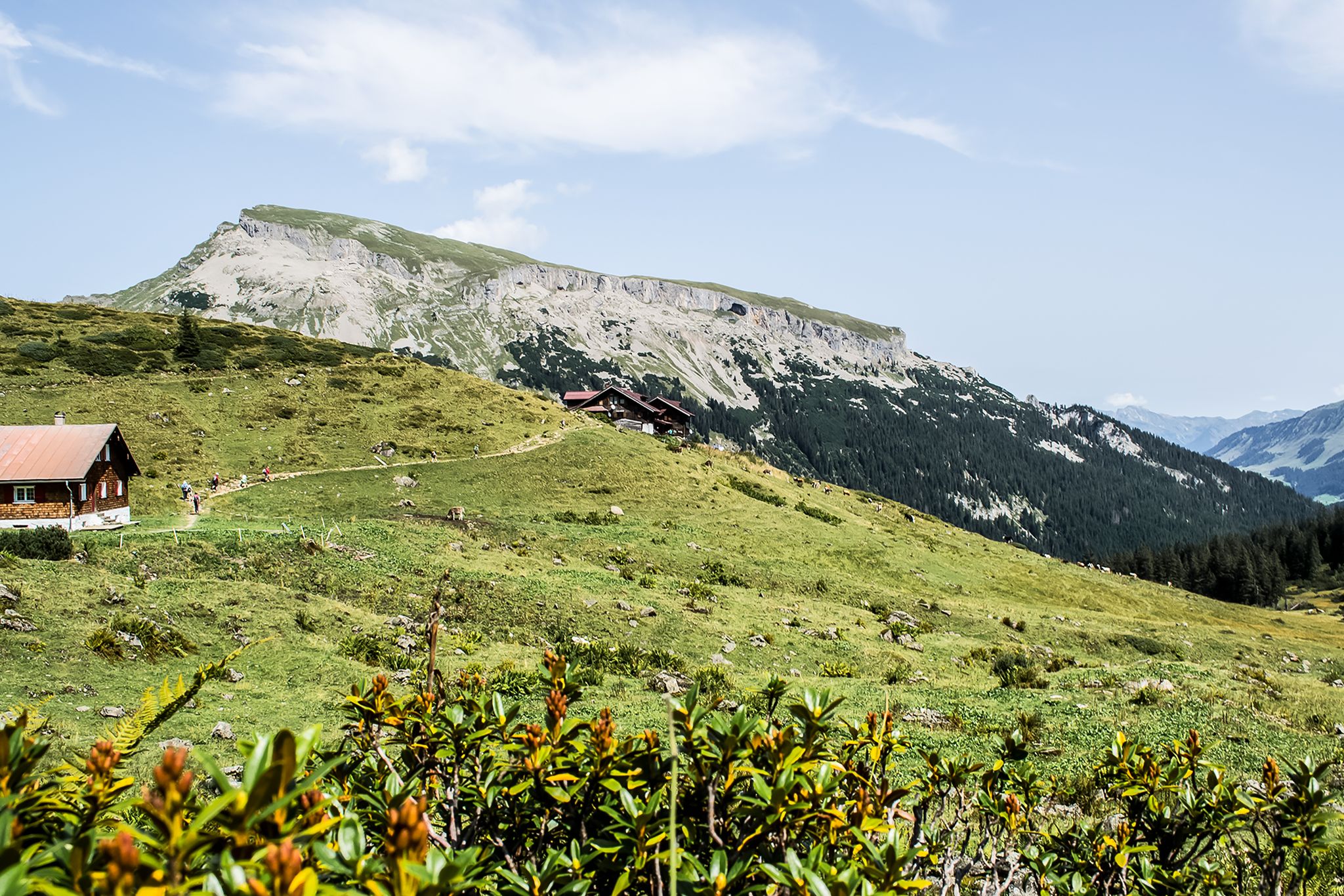
From hut to hut – 4 days through the Kleinwalsertal in Austria
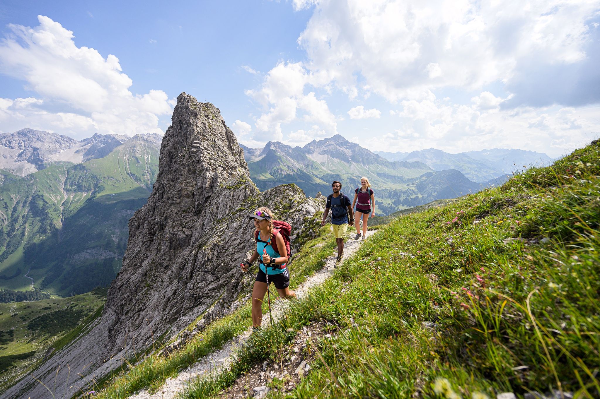
A hiker's paradise in Oberstdorf: Three altitudes packed with nature
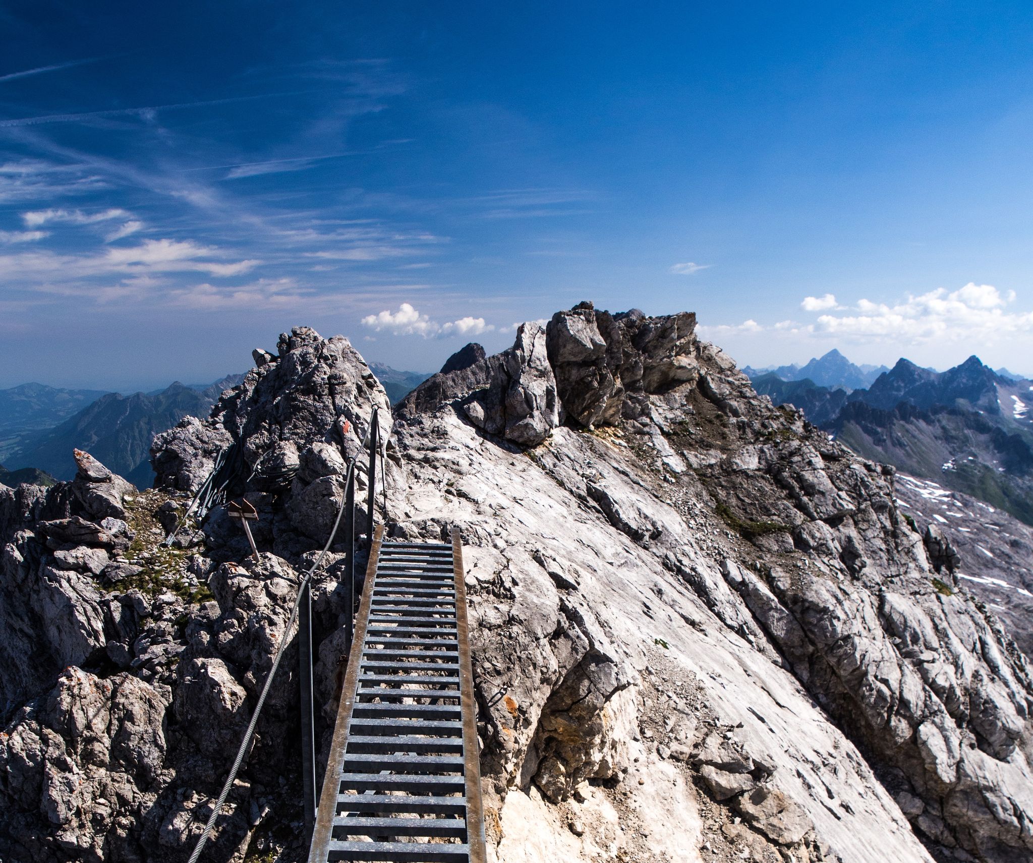
3 stages of summit happiness in Germany’s Allgäu – Heilbronner Way
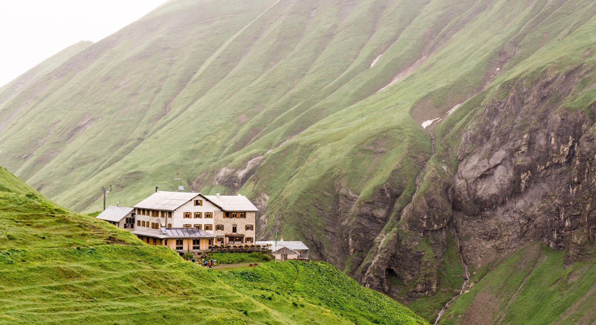
Huts for romantic getaways
Other adventures around Natural Park Allgäuer Hochalpen


Tips from the Community

A very beautiful high-altitude trail above Bad Oberdorf.
0
0

On the ascent to the Zipfelsalpe, you pass the Zipfelsfälle waterfalls, three successive cascades, each with a considerable drop. A magnificent natural spectacle.
0
0

Beautiful view, and if there's not much snow, it's also great for hiking. 😊
0
0

The Wiedhag Alpe is highly recommended. The Kaiserschmarrn is delicious, and the dumpling duo is also very filling and tasty!
0
0

A view like a postcard. https://www.allgaeu.de/genuss-gesundheit/glueck/pausen/zipfelsfall https://kirche-hindelang.de/st-antonius-hinterstein/
1
0

is usually easily doable
1
0

The Vaterlandsweg is a 4.7-kilometer-long circular trail that is classified as moderately difficult. The route runs along high-altitude paths and includes a small incline. There are numerous benches along the path where you can rest and enjoy the view.
0
0

Unfortunately, the Iseler is usually completely overcrowded thanks to the cable car underneath
3
0
Frequently Asked Questions
How many waterfall hiking trails are available in Natural Park Allgäuer Hochalpen?
The Natural Park Allgäuer Hochalpen offers a wide selection of waterfall hiking trails, with over 120 routes to explore. These trails vary in difficulty, ensuring there's something for every hiker, from easy strolls to more challenging mountain ascents.
Are there any easy or family-friendly waterfall hikes in the region?
Yes, the Natural Park Allgäuer Hochalpen has nearly 20 easy waterfall hikes suitable for families or those seeking a more relaxed experience. While specific routes are not detailed here, many trails in serene valleys or leading to the lower sections of waterfalls offer gentle gradients. For a moderate option that is still very popular, consider the Bear Trail – Zipfelsbach Waterfall loop from Hinterstein, which is 5.4 km long and takes about 1 hour 42 minutes.
What are some popular waterfall hikes that offer a circular route?
Many waterfall trails in the Natural Park Allgäuer Hochalpen are designed as circular routes, allowing you to experience diverse scenery without retracing your steps. A popular moderate option is the Zipfelsbach Waterfall – Zipfelsalpe loop from Hinterstein, which covers 7.8 km. Another excellent choice is the Zipfelsbach Waterfall – Bear Trail loop from Hinterstein, a longer moderate route at 12.6 km.
What kind of terrain can I expect on waterfall hikes in Natural Park Allgäuer Hochalpen?
The terrain on waterfall hikes in Natural Park Allgäuer Hochalpen is incredibly varied. You can expect paths traversing shady forests, intricate ravines, and expansive alpine pastures. Some routes might involve craggy peaks and rugged ridge lines, especially on more difficult trails. The region is also known for unique geological formations like the Nagelfluhkette.
What are some natural features or landmarks to look out for near the waterfall trails?
Beyond the waterfalls themselves, the region is rich in natural beauty. You might encounter picturesque lakes such as the crystal-clear Christlesee or the breathtaking Schrecksee. The Oytal offers serene valley walks, and higher up, you can find glacier lakes like the Gaisalpsee. For panoramic views, consider trails that offer glimpses of peaks like Nebelhorn summit or Rubihorn Summit.
Are there any dog-friendly waterfall trails in Natural Park Allgäuer Hochalpen?
Many trails in Natural Park Allgäuer Hochalpen are dog-friendly, allowing you to enjoy the waterfalls with your canine companion. It's always recommended to keep dogs on a leash, especially in areas with livestock or wildlife. Be sure to check specific route details for any restrictions, but generally, the region welcomes well-behaved dogs on its hiking paths.
What is the best time of year to visit the waterfalls in Natural Park Allgäuer Hochalpen?
The best time to visit the waterfalls is typically from late spring to early autumn (May to October). During spring, snowmelt ensures the waterfalls are at their most powerful. Summer offers pleasant hiking temperatures, while autumn brings stunning fall foliage. Some trails may be accessible in winter, but conditions can be challenging with snow and ice, requiring appropriate gear.
Are there places to eat or stay overnight near the waterfall hiking trails?
Yes, the Natural Park Allgäuer Hochalpen has numerous rustic alpine huts scattered throughout the park, offering opportunities to rest, refuel with local food, and even stay overnight. Examples include the Rappensee Hut. Additionally, popular hiking areas like the Oytal often lead to restaurants, and towns surrounding the park provide various accommodation options.
What do other hikers enjoy most about the waterfall trails in Natural Park Allgäuer Hochalpen?
The waterfall trails in Natural Park Allgäuer Hochalpen are highly rated by the komoot community, with an average score of 4.7 stars from over 15,700 reviews. Hikers often praise the dramatic changes in elevation, the abundance of picturesque lakes, and the diverse scenery ranging from craggy peaks to serene valleys. The well-marked paths and the chance to witness powerful waterfalls are frequently highlighted.
What should I wear for waterfall hiking in this region?
Given the varied terrain and potential for changing weather in the Alps, it's advisable to wear sturdy, waterproof hiking boots with good ankle support. Layered clothing is recommended, including waterproof and windproof outer layers, even in summer. Don't forget sun protection, a hat, and plenty of water. Trekking poles can also be helpful on steeper or uneven sections.
Are there any challenging waterfall hikes for experienced trekkers?
Absolutely. For experienced trekkers seeking a challenge, the Natural Park Allgäuer Hochalpen offers difficult high-alpine expeditions. While not exclusively a waterfall hike, the Iseler Summit Cross – Iseler Summit loop from Hinterstein is a demanding 11.9 km route with significant elevation gain, providing a taste of the region's more strenuous terrain. The hike to Schrecksee is also known for being challenging yet rewarding.
Most popular routes around Natural Park Allgäuer Hochalpen
Most popular attractions around Natural Park Allgäuer Hochalpen

Get inspired with the komoot mobile app


Explore more
Browse the best Hikes in other regions.
