The best gravel rides around Natural Park Allgäuer Hochalpen
4.6
(646)
4,760
riders
113
rides
Gravel biking around Natural Park Allgäuer Hochalpen offers diverse terrain, from river valleys to alpine meadows and challenging mountain ascents. The region is characterized by dramatic elevation changes, with craggy peaks and rugged ridgelines defining the landscape. Cyclists navigate a mix of gravel paths and asphalt roads, often alongside pristine lakes and dense forests. The varied topography provides routes suitable for different skill levels, from moderate valley loops to more demanding high-alpine trails.
Best gravel bike trails around Natural Park…
Last updated: July 2, 2026
5.0
(2)
13
riders
36.6km
02:44
1,000m
1,000m
Hard gravel ride. Very good fitness required. Mostly paved surfaces. Suitable for all skill levels.
4.7
(24)
122
riders
37.6km
02:06
360m
360m
Moderate gravel ride. Good fitness required. Mostly paved surfaces. Suitable for all skill levels.

Sign up for free
4.6
(16)
186
riders
28.9km
01:27
120m
120m
Easy gravel ride. Great for any fitness level. Mostly paved surfaces. Suitable for all skill levels.
4.5
(18)
59
riders
35.5km
02:33
940m
940m
Hard gravel ride. Very good fitness required. Mostly paved surfaces. Suitable for all skill levels.
4.7
(12)
96
riders
79.3km
03:55
370m
370m
Moderate gravel ride. Good fitness required. Mostly paved surfaces. Suitable for all skill levels.
Get access to more routes and recommendations from other explorers.
Sign up for free
Already have an account?
Our route recommendations are based on thousands of hikes, rides, and runs completed by other people on komoot.
Start today with a free account
Your next adventure awaits.
Login or Signup
Popular around Natural Park Allgäuer Hochalpen

Ibex Tour extended – Crossing the Allgäu Alps

E5 – Hiking across the Alps
Three peaks, two countries, two days – border hike in the Kleinwalsertal
Fantastic day Tours around Bad Hindelang

Climbing Alpine peaks on the Route to the Top – Allgäu hiking trilogy
Cycling across Germany – my journey to the southernmost point of Germany
Grenzgänger – 6 Days Long Distance Hiking in Tannheimer Tal
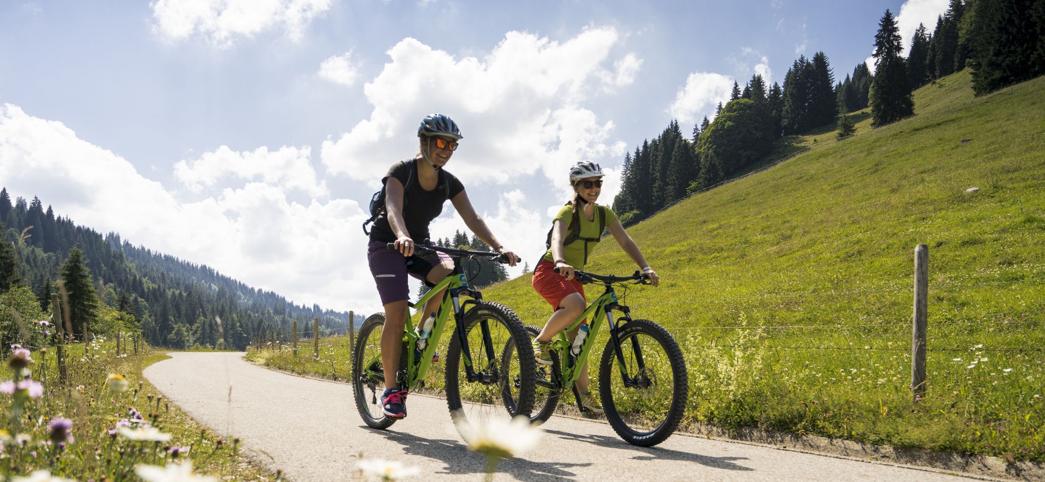
By bike over hill and dale - together outside in Oberstdorf
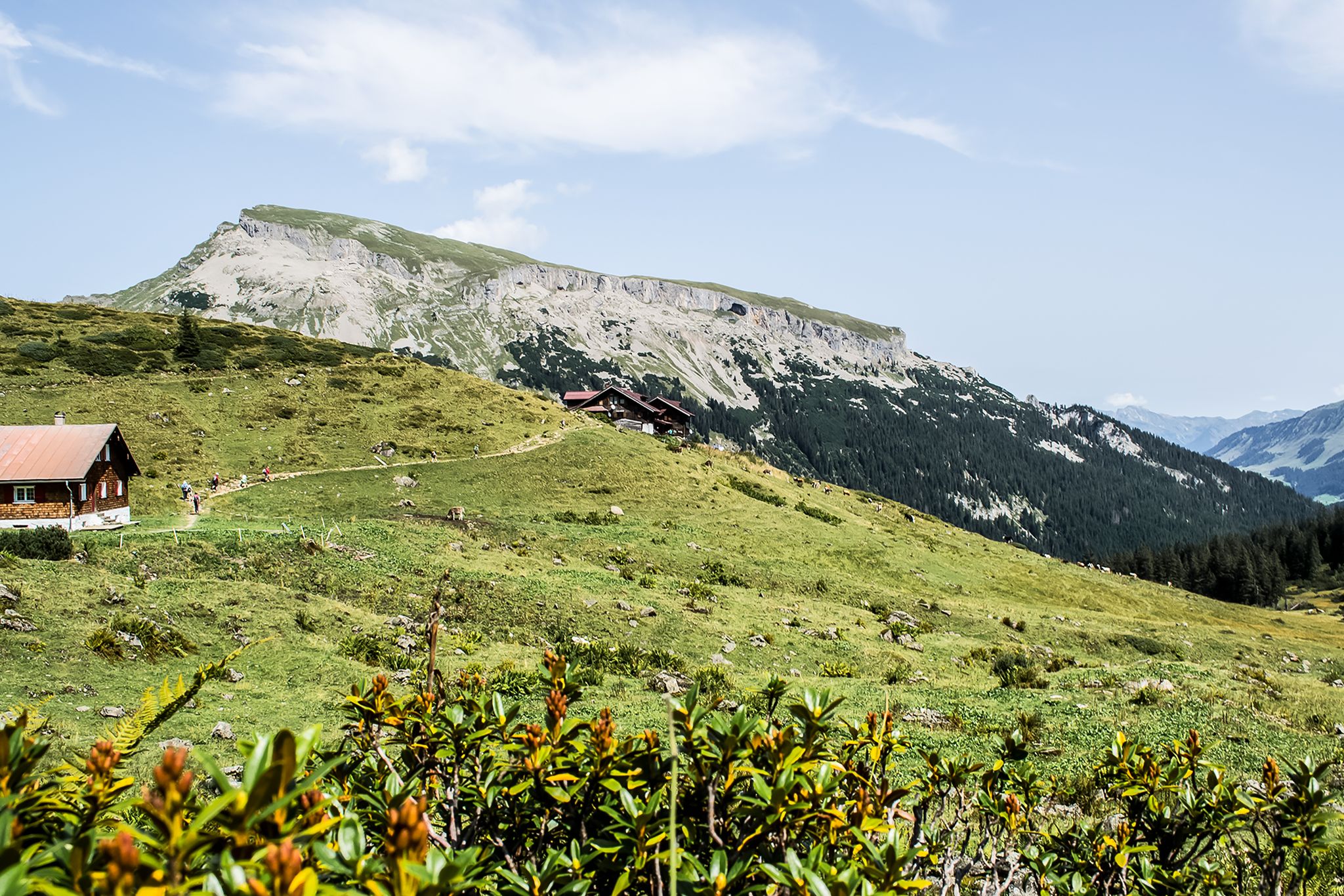
From hut to hut – 4 days through the Kleinwalsertal in Austria
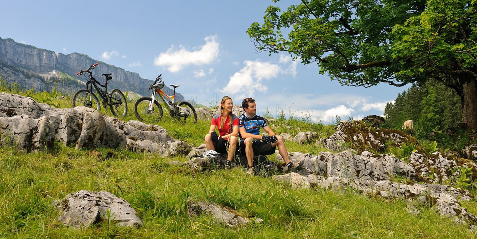
Up and over hills and dales – cycling in Oberstdorf in the Bavarian Alps
Other adventures around Natural Park Allgäuer Hochalpen


Tips from the Community

The Iller cycle path between Sonthofen and Oberstdorf is consistently well-developed, with a firm and slightly gravelly surface.
0
0

Super tour from Sonthofen to Rottachsee a bit strenuous but could swim great in the lake.
0
0

Staufen has had market rights since 1453. The important town in the Allgäu region, close to Austria and Switzerland, saw the rise of several wealthy families who built representative houses here centuries ago. After the currency reform in 1924, however, a large number of second homes and condominiums were built in Oberstaufen until the 1970s, which damaged the overall appearance of the town.
8
0

This is a great place for a stroll – there are lots of shops.
3
0

The Hühnermoos raised bog was formed after the last Ice Age. The melting glacier left behind a so-called dead-ice hole—a hollow in which a small lake initially formed, and where the melting glacial ice could no longer drain away. The peat in the lake formed from dying marsh grasses, which then gradually silted up.
1
0

Beautiful route and beautiful views - surface a bit rough
0
0

The tour is very relaxed (with the e-bike) and offers plenty of beautiful views.
0
0

Great view of the mountains
2
0
Frequently Asked Questions
What kind of terrain can I expect on gravel bike trails in Natural Park Allgäuer Hochalpen?
The Natural Park Allgäuer Hochalpen offers a diverse gravel biking experience. You'll encounter a mix of gravel paths and asphalt roads, often alongside pristine lakes and dense forests. The region is known for its dramatic elevation changes, featuring craggy peaks, rugged ridge lines, and distinctive steep 'grass mountains'. Expect varied topography, from river valleys to alpine meadows and challenging mountain ascents.
How many gravel bike trails are available in Natural Park Allgäuer Hochalpen?
There are over 145 gravel bike routes in Natural Park Allgäuer Hochalpen. These range from moderate valley loops to more demanding high-alpine trails, catering to various skill levels.
Are there any family-friendly gravel bike routes in the Natural Park Allgäuer Hochalpen?
Yes, the region offers routes suitable for families, particularly those that stick to the river valleys and flatter sections. While specific 'family-friendly' routes aren't explicitly detailed, easier valley routes are available. For example, the Stillach River – Freibergsee loop from Oberstdorf is a moderate option that could be suitable for families with some biking experience.
What are some notable natural features or landmarks I can see along the gravel trails?
The Natural Park Allgäuer Hochalpen is rich in natural beauty. You can explore serene lakes like the Lower Gaisalp Lake and the crystal-clear Christlessee. Valleys such as the Oytal Valley, Stillachtal, and Trettachtal offer tranquil settings. For dramatic scenery, consider routes near gorges like the Starzlachklamm or Breitachklamm. You might also spot iconic peaks like Nebelhorn summit or Rubihorn Summit.
Are there options for longer distance gravel biking in the region?
Absolutely. For those seeking longer adventures, routes like the North Shore of the Großer Alpsee – Great Alpsee loop from Oberstdorf cover nearly 80 km (49.3 miles) and typically take around 5 hours to complete. The region's 'Naturbiken' concept encourages cycling away from main roads on extensive panoramas, ideal for longer rides.
What is the best time of year for gravel biking in Natural Park Allgäuer Hochalpen?
The summer months are ideal, as alpine meadows burst with wildflowers and the weather is generally favorable. However, due to the region's dramatic elevation changes and mountainous terrain, it's important to consider seasonal conditions. Some higher routes might be inaccessible or challenging in early spring or late autumn due to snow or adverse weather. Winter gravel biking is possible on specific trails, but requires appropriate gear and caution.
Are there any mountain huts or places to stop for refreshments along the routes?
Yes, the region is dotted with traditional mountain huts that provide excellent resting points and refreshments. Notable huts include the Kemptner Hut, Mountain inn Oytalhaus, and Fiderepass Hut. These offer a chance to refuel and enjoy local hospitality amidst stunning scenery.
What are the difficulty levels of gravel bike trails in Natural Park Allgäuer Hochalpen?
The trails range from moderate to difficult. You'll find 17 easy routes, 51 moderate routes, and 77 difficult routes. Moderate trails like the Iller Source – The Stag's Leap Gorge loop from Oberstdorf offer a good balance of challenge and scenery, while routes such as the View of the Oytal Valley – Oytal Valley loop from Oberstdorf present more significant elevation gains and are rated difficult.
Can I find gravel bike routes that are circular or loop trails?
Many of the gravel bike routes in Natural Park Allgäuer Hochalpen are designed as loops, allowing you to start and end at the same point. Examples include the popular Iller River near Sonthofen – Sonthofer Lake loop from Bad Hindelang and the longer North Shore of the Großer Alpsee – Great Alpsee loop from Oberstdorf.
What do other gravel bikers say about the trails in Natural Park Allgäuer Hochalpen?
The gravel biking routes in Natural Park Allgäuer Hochalpen are highly rated by the komoot community, with an average score of 4.6 stars from over 700 reviews. Users frequently praise the diverse terrain, breathtaking alpine vistas, and the rich natural environment that makes each ride a memorable experience.
Is public transport available to access gravel bike trails in the region?
The Natural Park Allgäuer Hochalpen is generally well-connected, and public transport options exist to reach various starting points for trails. Many routes, especially those originating from towns like Oberstdorf or Bad Hindelang, are accessible via local bus services or regional trains. It's advisable to check local transport schedules for specific routes and bike carriage policies.
Are there any dog-friendly gravel routes in Natural Park Allgäuer Hochalpen?
While specific 'dog-friendly' designations for gravel routes are not provided, many trails in the Natural Park Allgäuer Hochalpen are suitable for cycling with dogs, especially those that follow river paths or wider forest roads. Always ensure your dog is on a leash, respect wildlife, and carry enough water for both yourself and your pet. It's also wise to check local regulations regarding dogs in protected areas.
Most popular routes around Natural Park Allgäuer Hochalpen
Most popular attractions around Natural Park Allgäuer Hochalpen

Get inspired with the komoot mobile app


Explore more
Browse the best Gravel rides in other regions.
