The best mountain hikes around Natural Park Allgäuer Hochalpen
4.8
(646)
4,031
hikers
126
hikes
Mountaineering routes around Natural Park Allgäuer Hochalpen traverse a region characterized by rugged alpine landscapes and significant elevation changes. The area features craggy peaks, steep grass mountains ("Grasberge"), and massive rocky formations, contributing to diverse environments. Deep valleys, expansive alpine meadows, and crystal-clear mountain lakes like Schrecksee are common features. This natural park is recognized as one of the most species-rich mountainous regions in the Alps.
Best mountaineering routes around Natural Park Allgäuer Hochalpen
- The most popular mountaineering route is Petersalpe – Lake Rappensee loop from Einödsbach, a 7.5 miles (12.1 km) trail that takes 6 hours 12 minutes to complete. This difficult route offers significant elevation gain through alpine terrain.
- Another top favourite among local mountaineers is Summit Cross Hochrappenkopf – Hochrappenscharte loop from Rappenseehütte, a difficult 2.8 miles (4.5 km) path. This route provides views of high alpine landscapes and takes approximately 2 hours 28 minutes.
- Local mountaineers also love the View of Schrecksee – Schrecksee loop from Hinterstein, an 11.8 miles (19.0 km) trail leading through varied mountain terrain and past the notable Schrecksee, often completed in about 8 hours 56 minutes.
- Mountaineering around Natural Park Allgäuer Hochalpen is defined by craggy peaks, steep grass mountains, and high alpine lakes. The network offers options for different ability levels, from moderate ascents to challenging multi-day expeditions.
- The routes in Natural Park Allgäuer Hochalpen are highly rated by the komoot community with an average score of 4.8 stars from over 600 reviews. More than 4000 mountaineers have used komoot to explore Natural Park Allgäuer Hochalpen's varied terrain.
Last updated: July 1, 2026
4.8
(123)
556
hikers
12.2km
06:15
960m
960m
Hard mountaineering route. Very good fitness required. Mostly accessible paths. Sure-footedness required.
4.9
(16)
82
hikers
4.49km
02:28
390m
390m
Hard mountaineering route. Good fitness required. Sure-footedness, sturdy shoes and alpine experience required.

Sign up for free
4.9
(56)
282
hikers
19.0km
08:57
1,370m
1,380m
Hard mountaineering route. Very good fitness required. Mostly accessible paths. Sure-footedness required.
4.7
(27)
227
hikers
12.5km
05:52
880m
880m
Hard mountaineering route. Very good fitness required. Sure-footedness, sturdy shoes and alpine experience required.
5.0
(42)
268
hikers
18.2km
08:19
1,210m
1,210m
Hard mountaineering route. Very good fitness required. Sure-footedness, sturdy shoes and alpine experience required.
Get access to more routes and recommendations from other explorers.
Sign up for free
Already have an account?
Our route recommendations are based on thousands of hikes, rides, and runs completed by other people on komoot.
Start today with a free account
Your next adventure awaits.
Login or Signup
Popular around Natural Park Allgäuer Hochalpen

Ibex Tour extended – Crossing the Allgäu Alps

E5 – Hiking across the Alps
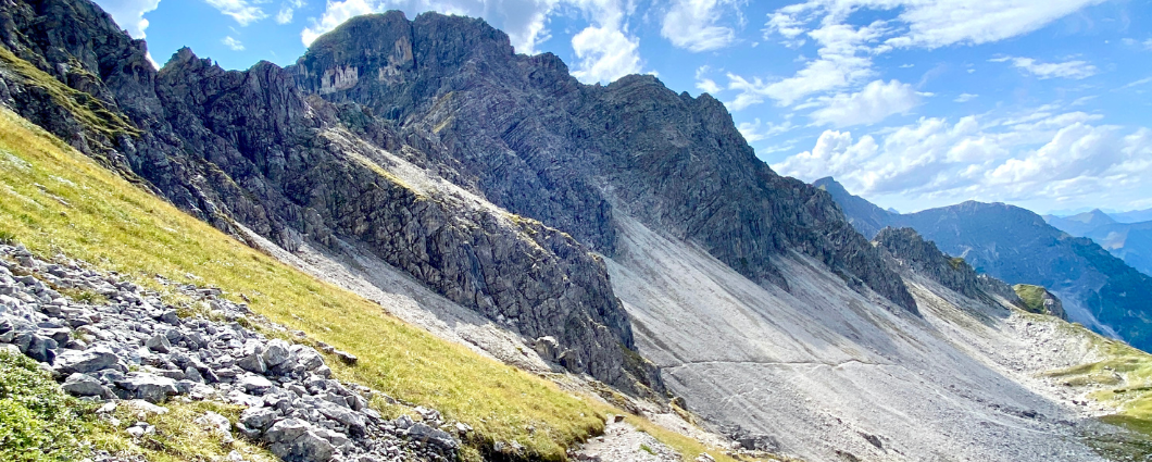
Three peaks, two countries, two days – border hike in the Kleinwalsertal
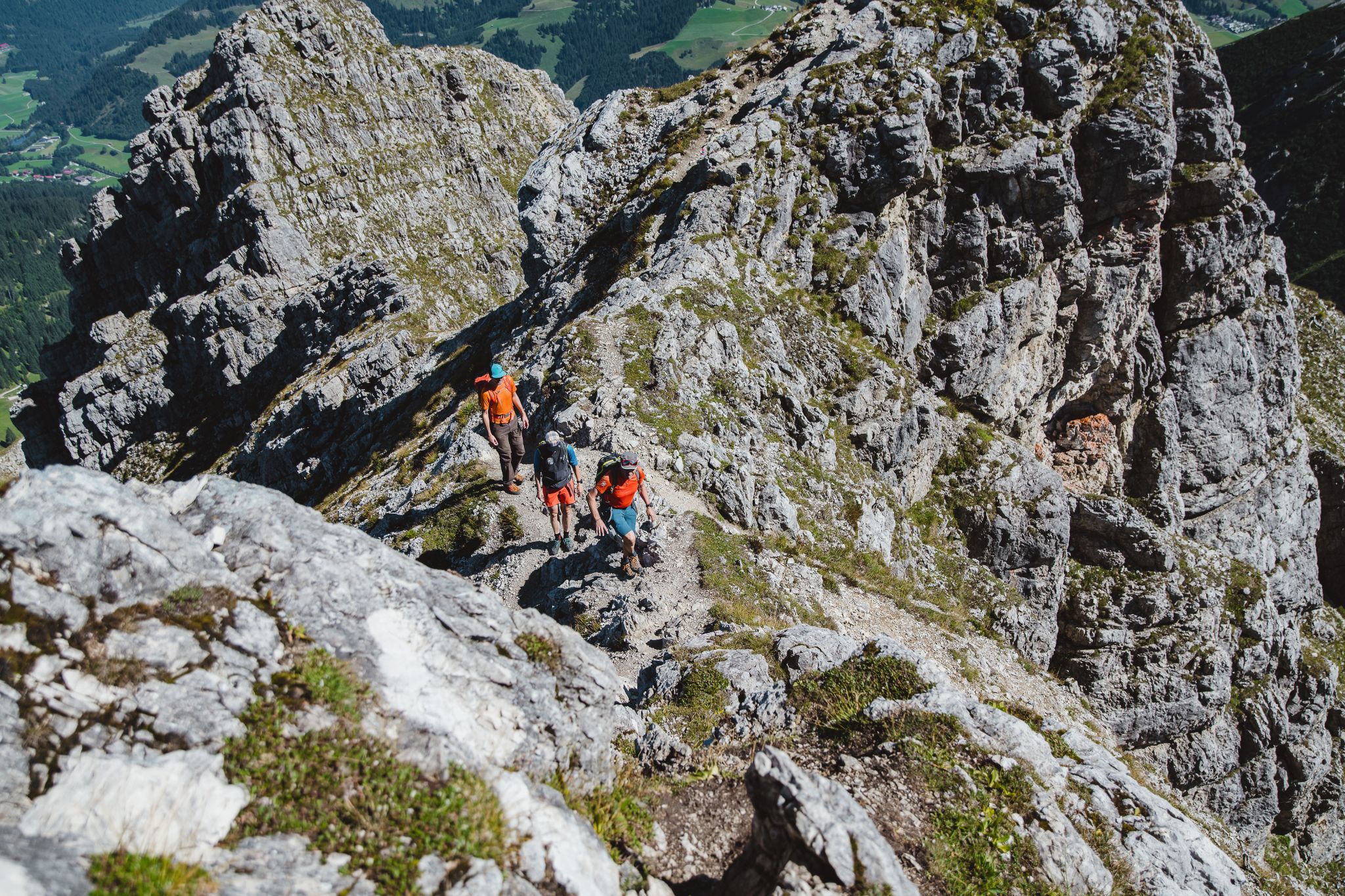
Fantastic day Tours around Bad Hindelang

Climbing Alpine peaks on the Route to the Top – Allgäu hiking trilogy
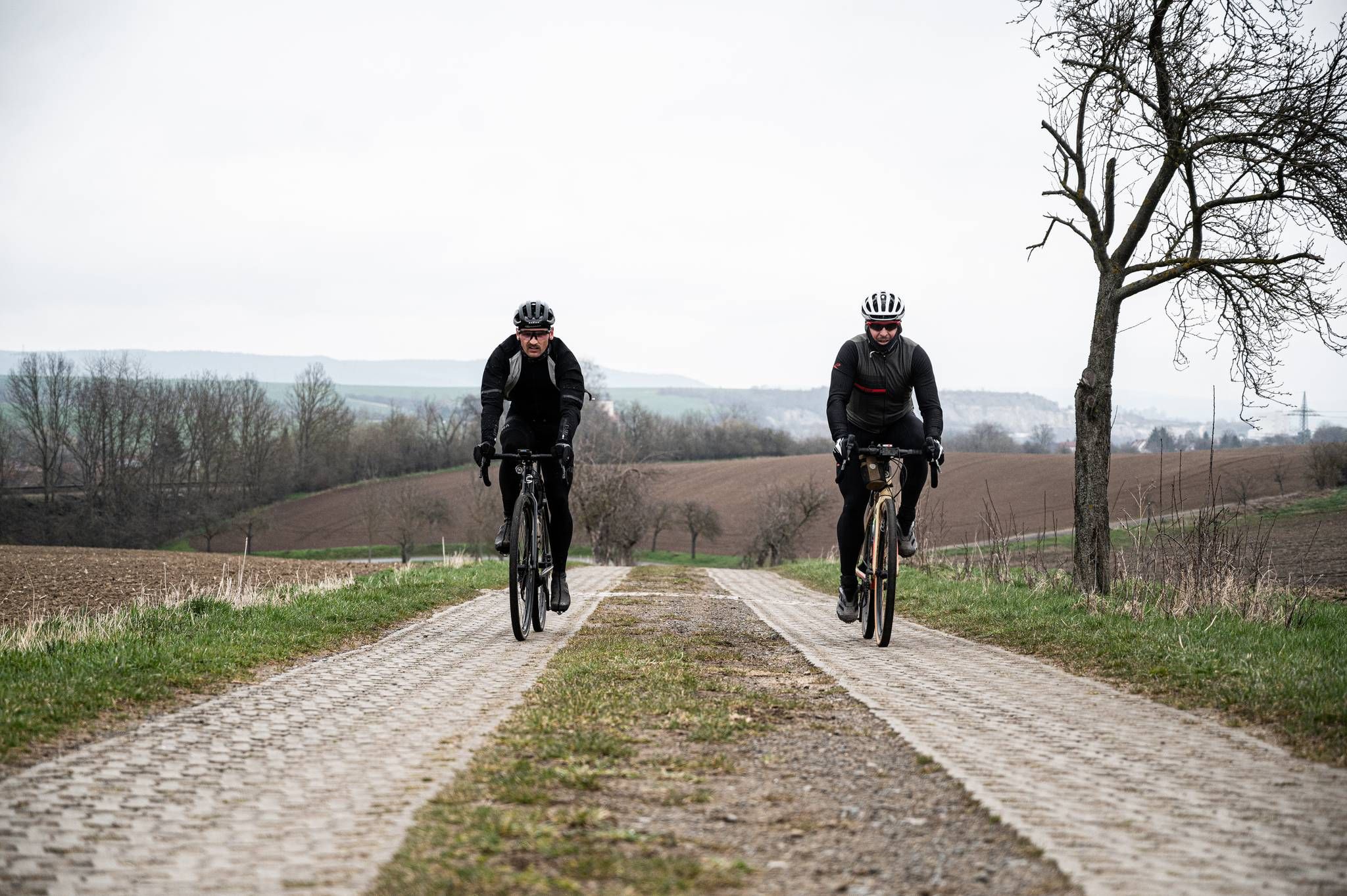
Cycling across Germany – my journey to the southernmost point of Germany
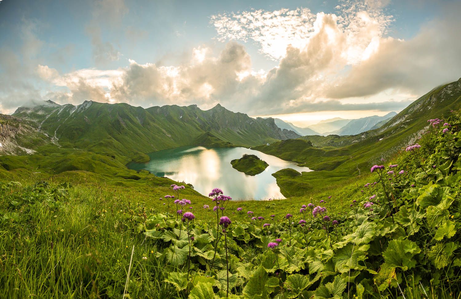
Grenzgänger – 6 Days Long Distance Hiking in Tannheimer Tal
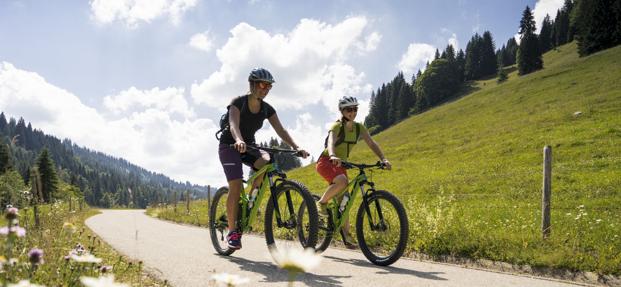
By bike over hill and dale - together outside in Oberstdorf
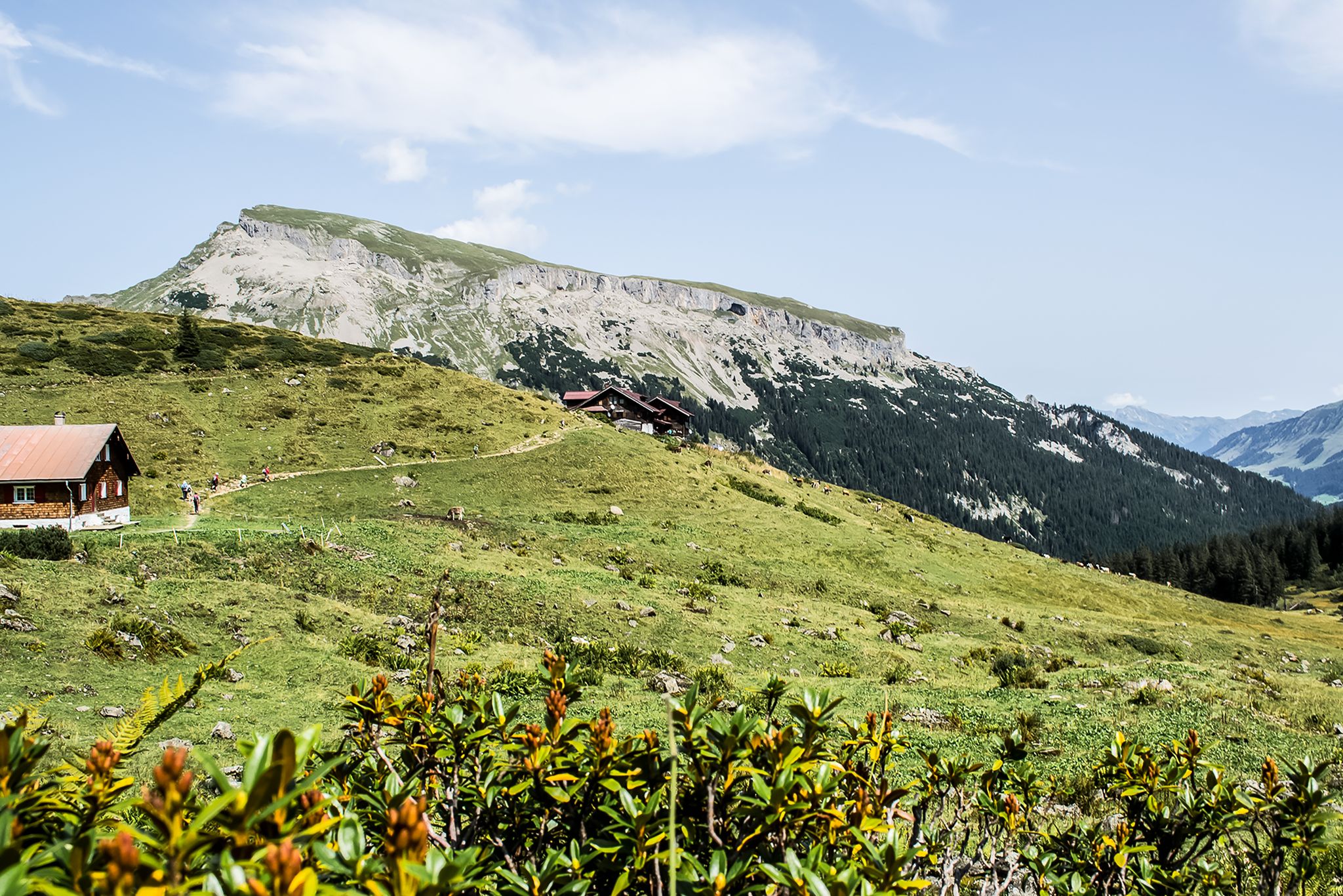
From hut to hut – 4 days through the Kleinwalsertal in Austria
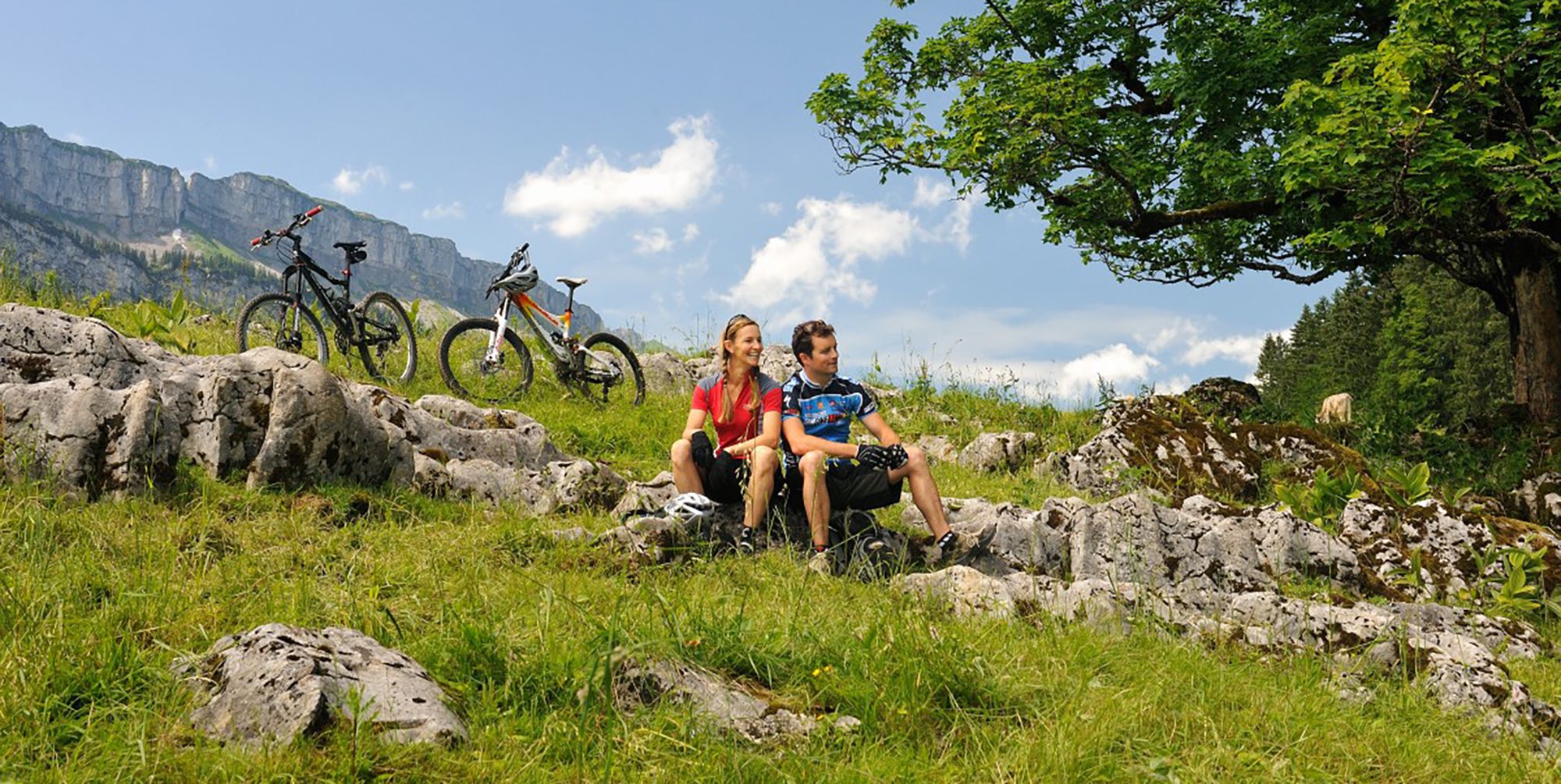
Up and over hills and dales – cycling in Oberstdorf in the Bavarian Alps
Other adventures around Natural Park Allgäuer Hochalpen


Tips from the Community

Here, electricity is also generated via a turbine for the Einödsbach Inn.
0
0
After overnight stays were temporarily not possible, it has been possible again since early summer 2025 😊
0
0

The first stop after Einödsbach. The drinks are cold (if no one is there with a cash register at the fountain) and affordable.
1
0
The first rest stop after Einödsbach on the way to the Rappenseehütte. Cool drinks at a reasonable price.
1
0

great atmosphere in the evenings and mornings
0
0


A dreamlike spot on earth, but you have to overcome a few meters to get there😉
0
0
Frequently Asked Questions
What kind of terrain can I expect on mountaineering routes in Natural Park Allgäuer Hochalpen?
The Natural Park Allgäuer Hochalpen is characterized by diverse and rugged alpine landscapes. You'll encounter craggy peaks, distinctive steep grass mountains known as "Grasberge," and massive rocky formations. Routes often traverse deep valleys, expansive alpine meadows, and high alpine terrain, sometimes leading past crystal-clear mountain lakes and impressive waterfalls.
Are there any circular mountaineering routes in the Natural Park Allgäuer Hochalpen?
Yes, many mountaineering routes in the Natural Park Allgäuer Hochalpen are designed as loops, offering varied scenery without retracing your steps. For example, you could explore the Petersalpe – Lake Rappensee loop from Einödsbach, a challenging 7.5-mile route, or the shorter Summit Cross Hochrappenkopf – Hochrappenscharte loop from Rappenseehütte.
What are some notable natural features or landmarks to see along the mountaineering routes?
The region is rich in natural beauty. You can discover stunning mountain lakes like Lower Gaisalp Lake and the perpetually unfrozen Christlessee. Impressive waterfalls, such as the Gaisalpsee waterfall, and dramatic valleys like the Oytal Valley are also prominent features. For panoramic views, consider routes leading to summits like the Rubihorn Summit.
How many mountaineering routes are available in Natural Park Allgäuer Hochalpen?
There are over 120 mountaineering routes available in the Natural Park Allgäuer Hochalpen, catering to various skill levels. While there are no easy routes, you'll find a good mix of moderate (around 30) and difficult (over 90) options to explore the alpine landscape.
Are there any family-friendly mountaineering options in the Natural Park Allgäuer Hochalpen?
While many mountaineering routes in the Natural Park Allgäuer Hochalpen are rated as difficult, requiring sure-footedness and a good head for heights, some areas offer more accessible paths suitable for families with older children or those seeking less strenuous ascents. It's always recommended to check the specific route's difficulty and elevation profile before setting out with family.
What is the best time of year for mountaineering in this region?
The best time for mountaineering in the Natural Park Allgäuer Hochalpen is typically from late spring to early autumn (June to September). During these months, the snow has usually melted from higher elevations, and the weather conditions are generally more stable. However, always check local weather forecasts and trail conditions before your trip, as alpine weather can change rapidly.
Are there mountain huts available for overnight stays or refreshments along the routes?
Yes, the Natural Park Allgäuer Hochalpen features a network of traditional mountain huts that provide essential services for mountaineers. Notable huts include the Fiderepass Hut, Kemptner Hut, and Mindelheimer Hut. These huts offer refreshments and overnight accommodation, making them ideal bases for multi-day tours.
What do other mountaineers enjoy most about the routes in Natural Park Allgäuer Hochalpen?
The mountaineering routes in Natural Park Allgäuer Hochalpen are highly rated by the komoot community, with an average score of 4.8 stars from over 600 reviews. Reviewers often praise the breathtaking scenery, the challenging nature of the trails, and the rewarding summit views. The diverse terrain, from craggy peaks to serene alpine lakes, is frequently highlighted as a major draw.
Are there any routes that feature impressive gorges or canyons?
Yes, the region offers routes that lead through impressive natural formations. For instance, the Sperrbachtobel – Sperrbachtobel Gorge loop from Spielmannsau is a challenging route that takes you through a notable gorge, offering a unique and dramatic landscape experience.
What are the typical durations for mountaineering routes in this park?
The duration of mountaineering routes in Natural Park Allgäuer Hochalpen varies significantly based on distance, elevation gain, and difficulty. Shorter, challenging routes like the Summit Cross Hochrappenkopf – Hochrappenscharte loop can take around 2.5 hours, while longer, more strenuous expeditions such as the View of Schrecksee – Schrecksee loop from Hinterstein can require nearly 9 hours to complete.
Can I access higher elevations easily in the Natural Park Allgäuer Hochalpen?
Yes, cable cars, such as those leading to Nebelhorn, provide convenient access to higher elevations. These serve as excellent starting points for various mountaineering tours, allowing you to quickly reach the high alpine environment and begin your adventure with less initial ascent.
Are there any specific climbing routes or via ferratas in the park?
The Natural Park Allgäuer Hochalpen is renowned for its challenging climbing opportunities. The Breitenberg Summit Cross – Heubatspitze loop from Hinterstein offers a taste of the rugged terrain. For dedicated climbing, the renovated "Bayerländerweg" on the western Wengenkopf and the "Zauberplatten" on the Wagendrischelhorn are known for their quality rock and challenging ascents, some requiring mandatory climbing up to Grade 6+.
Most popular routes around Natural Park Allgäuer Hochalpen
Most popular attractions around Natural Park Allgäuer Hochalpen

Get inspired with the komoot mobile app


Explore more
Browse the best Mountain Hikes & Routes in other regions.
