The best MTB trails around Natural Park Allgäuer Hochalpen
4.6
(15165)
65,595
riders
574
rides
Mountain biking around Natural Park Allgäuer Hochalpen offers diverse terrain within one of Germany's largest nature reserves. The region is characterized by craggy peaks, rugged ridge lines, and steep grass mountains, alongside picturesque valleys such as Oytal, Stillachtal, and Trettachtal. Rivers like the Ostrach and Iller mark boundaries, while numerous lakes and waterfalls add to the varied landscape. This area provides a wide array of natural features and well-suited terrain for mountain biking.
Best mountain bike trails around Natural Park…
Last updated: July 10, 2026
4.8
(112)
432
riders
28.4km
01:56
410m
410m
Moderate mountain bike ride. Good fitness required. Suitable for all skill levels.
4.8
(71)
368
riders
26.3km
01:57
580m
580m
Moderate mountain bike ride. Good fitness required. Suitable for all skill levels.

Sign up for free
4.6
(49)
203
riders
35.7km
02:58
920m
920m
Hard mountain bike ride. Very good fitness required. Advanced riding skills necessary.
4.3
(12)
58
riders
16.1km
01:53
850m
850m
Moderate mountain bike ride. Good fitness required. Suitable for all skill levels.
4.5
(10)
47
riders
27.0km
02:26
790m
790m
Moderate mountain bike ride. Good fitness required. Suitable for all skill levels.
Get access to more routes and recommendations from other explorers.
Sign up for free
Already have an account?
Our route recommendations are based on thousands of hikes, rides, and runs completed by other people on komoot.
Start today with a free account
Your next adventure awaits.
Login or Signup
Popular around Natural Park Allgäuer Hochalpen
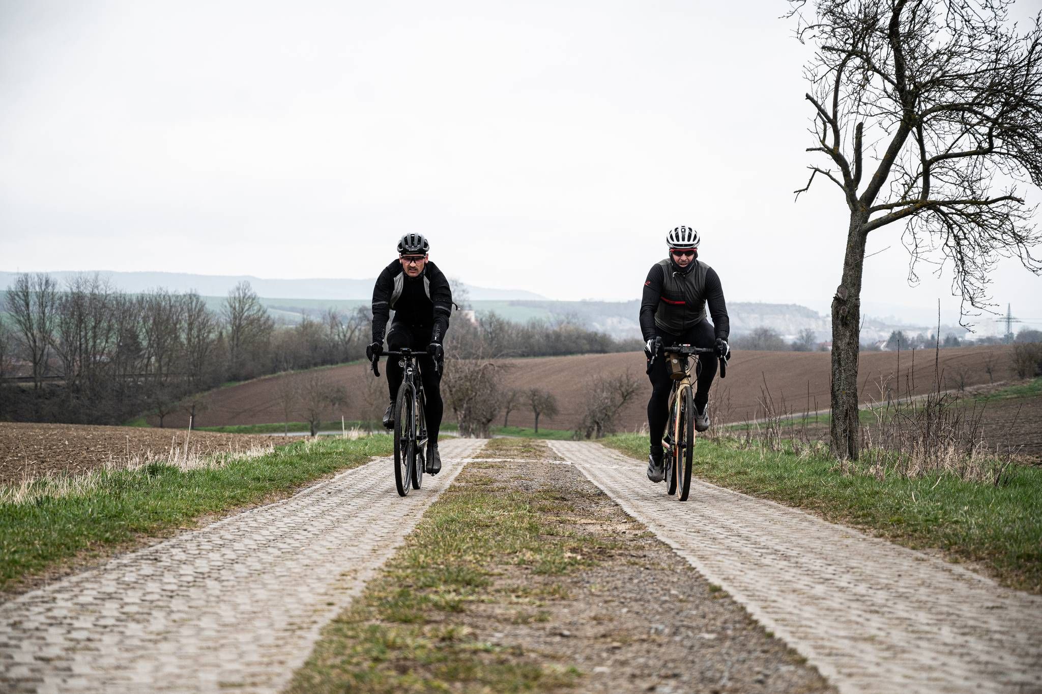
Cycling across Germany – my journey to the southernmost point of Germany
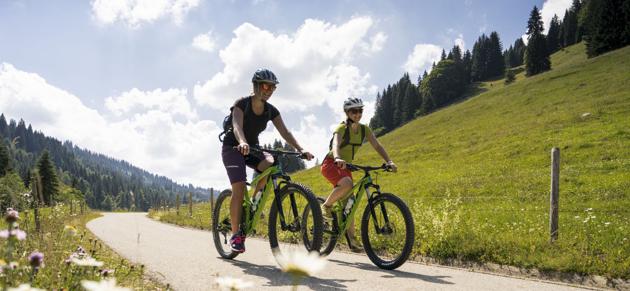
By bike over hill and dale - together outside in Oberstdorf
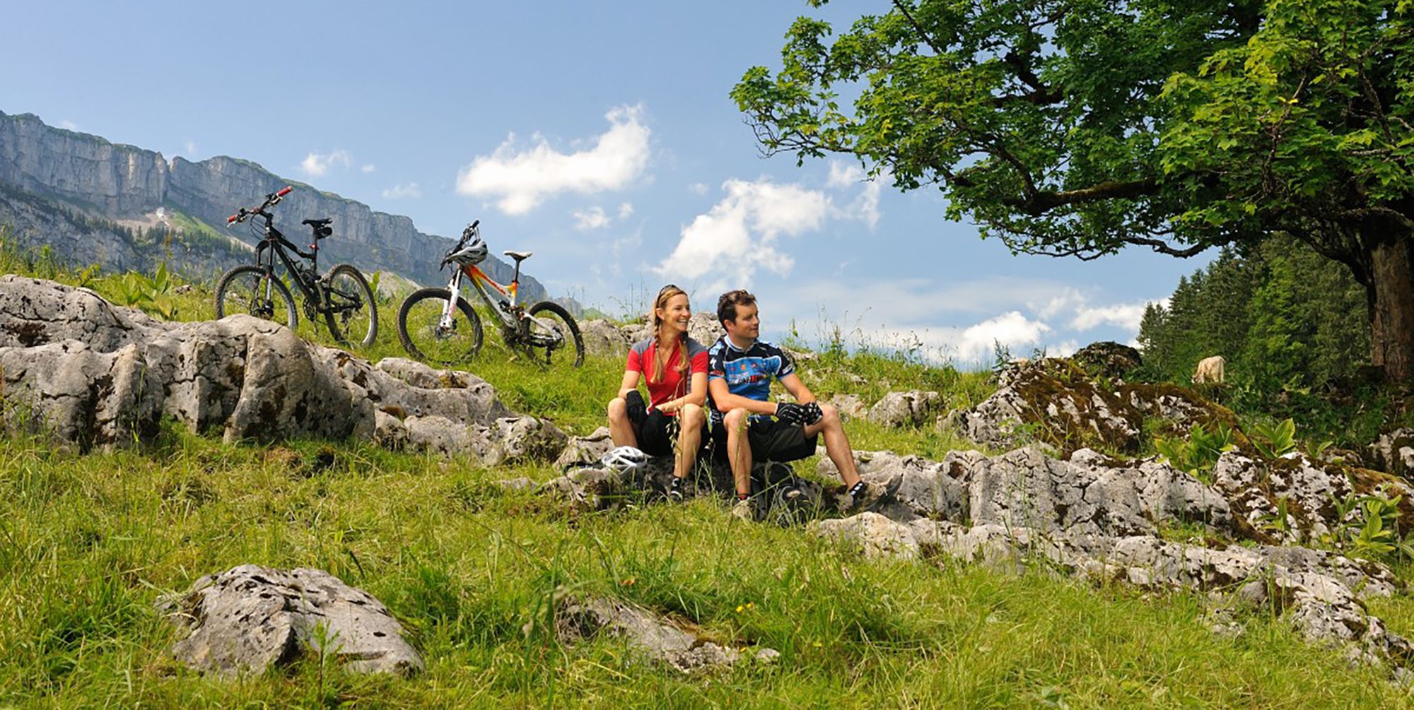
Up and over hills and dales – cycling in Oberstdorf in the Bavarian Alps

Ibex Tour extended – Crossing the Allgäu Alps

E5 – Hiking across the Alps
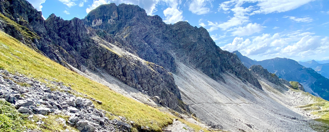
Three peaks, two countries, two days – border hike in the Kleinwalsertal
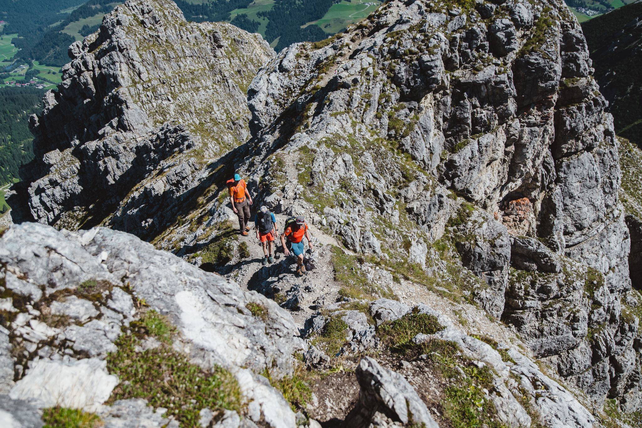
Fantastic day Tours around Bad Hindelang

Climbing Alpine peaks on the Route to the Top – Allgäu hiking trilogy
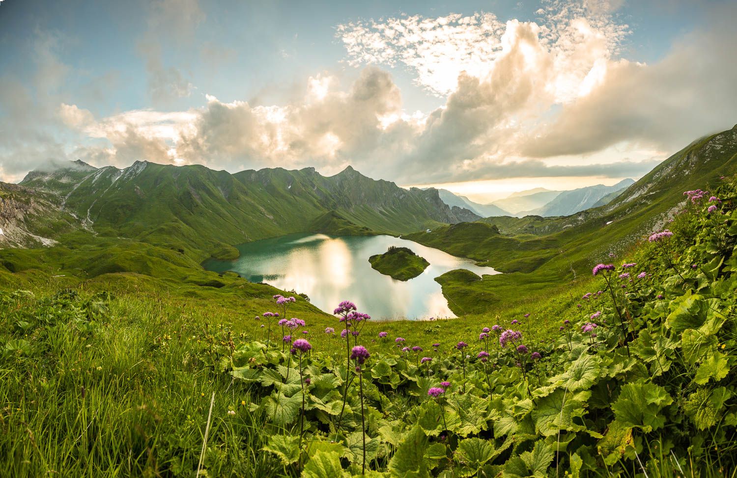
Grenzgänger – 6 Days Long Distance Hiking in Tannheimer Tal
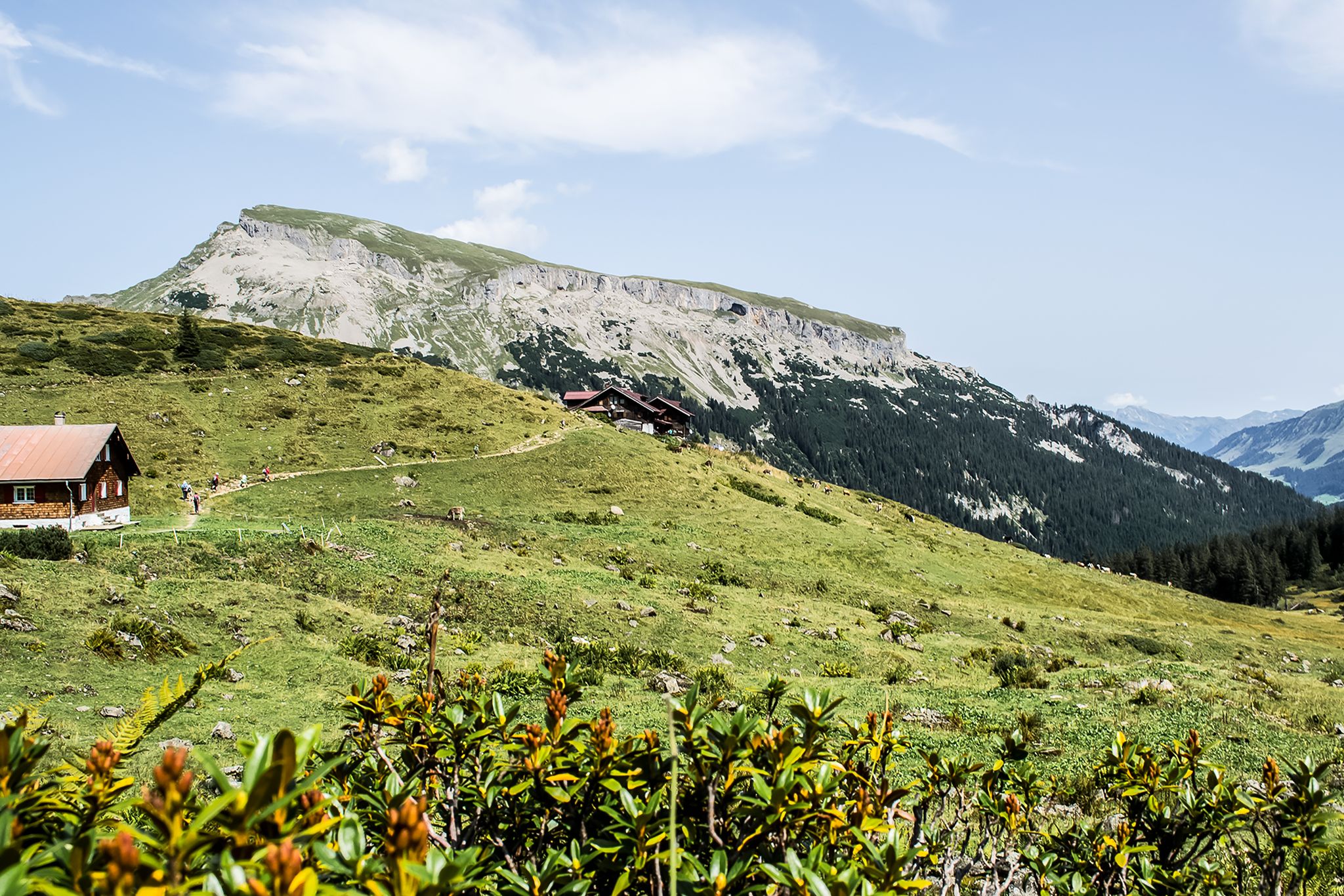
From hut to hut – 4 days through the Kleinwalsertal in Austria
Other adventures around Natural Park Allgäuer Hochalpen


Tips from the Community

In the background, imposing peaks rise, encircling the valley like a protective cloak and creating a spectacular backdrop. 🏔️⛰️
0
0

Zoller view up to the mountain
1
0

Mega view at the Fellhornbah II 🚲⚡️🤪
0
0
Great view after a great tour 🚲⚡️🤪
0
0


The Hühnermoos raised bog was formed after the last Ice Age. The melting glacier left behind a so-called dead-ice hole—a hollow in which a small lake initially formed, and where the melting glacial ice could no longer drain away. The peat in the lake formed from dying marsh grasses, which then gradually silted up.
1
0

At the station, you have a wonderful view from the terrace. The food was also delicious, the price-performance ratio was also ok.
2
0
Frequently Asked Questions
What types of mountain bike trails can I expect in Natural Park Allgäuer Hochalpen?
The Natural Park Allgäuer Hochalpen offers a diverse range of mountain biking terrain, from easy paths and forest routes to challenging alpine trails and singletracks. The landscape is characterized by craggy peaks, rugged ridge lines, and steep grass mountains, alongside picturesque valleys like Oytal, Stillachtal, and Trettachtal.
Are there mountain bike trails suitable for beginners or families in Natural Park Allgäuer Hochalpen?
Yes, the region caters to all skill levels. While some routes are challenging, there are also easy paths and forest routes suitable for pleasure mountain bikers and families. For example, the Oytal Tree-Lined Avenue – Oytal Valley loop from Riezlern is a moderate route that explores the scenic Oytal valley, offering a good option for those seeking a less strenuous ride.
What is the best time of year for mountain biking in Natural Park Allgäuer Hochalpen?
The mountain biking season typically runs from spring to autumn. During these months, trails are generally clear of snow, and the weather is more favorable for riding. It's always advisable to check local conditions before heading out, especially in early spring or late autumn, as higher elevations can retain snow longer.
Are there any specific regulations for mountain biking within the Natural Park Allgäuer Hochalpen?
Yes, it's important to note that the use of mountain paths by bikes is prohibited unless specifically designated as cycle paths within the nature reserve. Always stick to marked trails and designated routes to protect the sensitive alpine environment and adhere to local regulations.
What kind of natural features or landmarks can I see along the mountain bike trails?
The region is rich in natural beauty. You can encounter stunning mountainous terrain, picturesque valleys, and beautiful lakes like the crystal-clear Christlessee. Waterfalls such as the Hölltobel Waterfall and Zipfelsbach Waterfall add to the scenic beauty. Many routes also offer views of prominent peaks like Hochfrottspitze.
Are there places to stop for refreshments or overnight stays along the mountain bike routes?
Yes, the region has numerous mountain huts and inns that offer refreshments and, in some cases, overnight stays. For example, the Giebelhaus Mountain Inn – View of the Giebel loop from Hinterstein passes a mountain inn, providing a convenient stop. Other notable options include the Mountain inn Oytalhaus, Fiderepass Hut, and Kemptner Hut.
What do other mountain bikers enjoy most about the trails in Natural Park Allgäuer Hochalpen?
The trails in Natural Park Allgäuer Hochalpen are highly rated by the komoot community, with an average score of 4.6 stars from over 15,000 reviews. Riders often praise the diverse terrain, the breathtaking alpine scenery, and the well-maintained network of trails that cater to various skill levels.
Are there any challenging mountain bike routes for experienced riders?
Absolutely. The Natural Park Allgäuer Hochalpen offers challenging singletracks and alpine routes with significant elevation gains. For instance, the View of the Ostrach River – View of the Grünten loop from Hinterstein is a difficult 22.2-mile trail with over 900 meters of elevation gain, providing a demanding experience for advanced riders.
Can I bring my dog on the mountain bike trails?
While the Natural Park Allgäuer Hochalpen is a nature reserve, many trails are dog-friendly. However, it's crucial to keep dogs on a leash, especially in protected areas, to respect wildlife and other trail users. Always check specific trail regulations before you go.
How many mountain bike trails are available in Natural Park Allgäuer Hochalpen?
There are over 580 mountain bike trails available in and around Natural Park Allgäuer Hochalpen, offering a wide variety of options for all preferences and skill levels. This includes approximately 147 easy, 250 moderate, and 190 difficult routes.
Are there any circular mountain bike routes in the area?
Yes, many of the mountain bike routes in Natural Park Allgäuer Hochalpen are designed as loops, allowing you to start and end at the same point. Examples include the Oytal Tree-Lined Avenue – Oytal Valley loop from Riezlern and the Schlappolt Alp – Alpe Schlappold loop from Faistenoy.
What are the typical elevation changes on mountain bike trails in this region?
Elevation changes vary significantly depending on the trail's difficulty. Easy routes might have a few hundred meters of ascent, while more challenging trails, such as the Stillach River – Trettach Valley loop from Gerstruben, can feature ascents of over 780 meters, providing a good workout and rewarding views.
Most popular routes around Natural Park Allgäuer Hochalpen
Most popular attractions around Natural Park Allgäuer Hochalpen

Get inspired with the komoot mobile app


Explore more
Browse the best MTB trails in other regions.
