The best hikes from bus stations around Natural Park Allgäuer Hochalpen
4.6
(146993)
676,861
hikers
34
hikes
Bus station hiking trails around Natural Park Allgäuer Hochalpen traverse a diverse and dramatic mountainous landscape in the southwestern tip of Germany. The region is characterized by craggy peaks, rugged ridge lines, and steep grass mountains, shaped by limestone and dolomite geology. Hikers will find lush alpine meadows, numerous mountain lakes like Seealpsee, and deep gorges with impressive waterfalls. This varied terrain supports a rich flora and fauna, making it a prime destination for outdoor activities.
Best bus station hiking…
Last updated: July 12, 2026
4.8
(274)
1,237
hikers
13.9km
07:01
1,200m
1,210m
Hard hike. Very good fitness required. Mostly accessible paths. Sure-footedness required.
4.7
(264)
1,269
hikers
9.31km
05:12
880m
880m
Hard hike. Very good fitness required. Mostly accessible paths. Sure-footedness required.

Sign up for free
4.7
(189)
889
hikers
21.3km
07:43
1,210m
1,220m
Hard hike. Very good fitness required. Mostly accessible paths. Sure-footedness required.
4.7
(114)
505
hikers
16.9km
06:21
1,150m
1,150m
Hard hike. Very good fitness required. Mostly accessible paths. Sure-footedness required.
4.7
(76)
274
hikers
10.9km
05:33
950m
950m
Hard hike. Very good fitness required. Mostly accessible paths. Sure-footedness required.
Get access to more routes and recommendations from other explorers.
Sign up for free
Already have an account?
Our route recommendations are based on thousands of hikes, rides, and runs completed by other people on komoot.
Start today with a free account
Your next adventure awaits.
Login or Signup
Popular around Natural Park Allgäuer Hochalpen

Ibex Tour extended – Crossing the Allgäu Alps

E5 – Hiking across the Alps
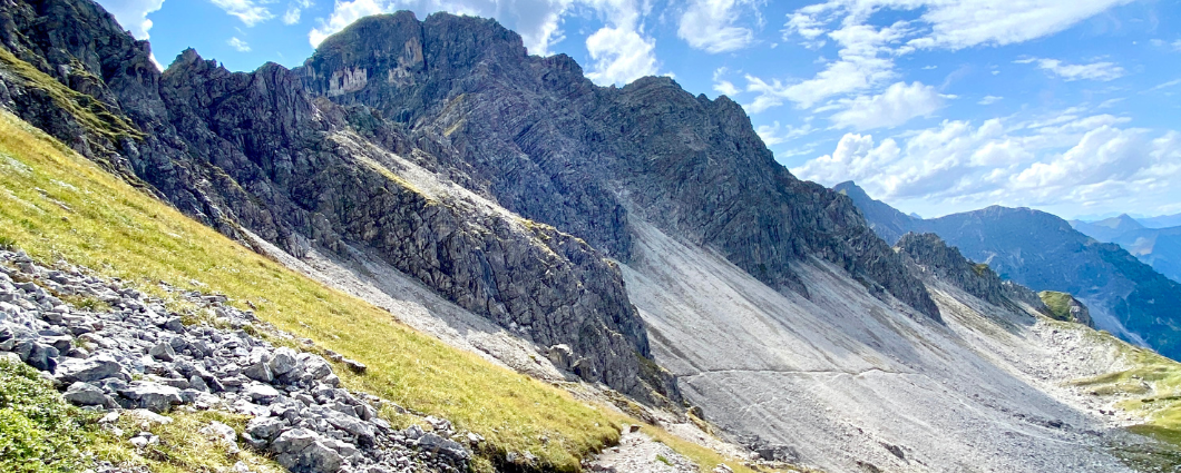
Three peaks, two countries, two days – border hike in the Kleinwalsertal
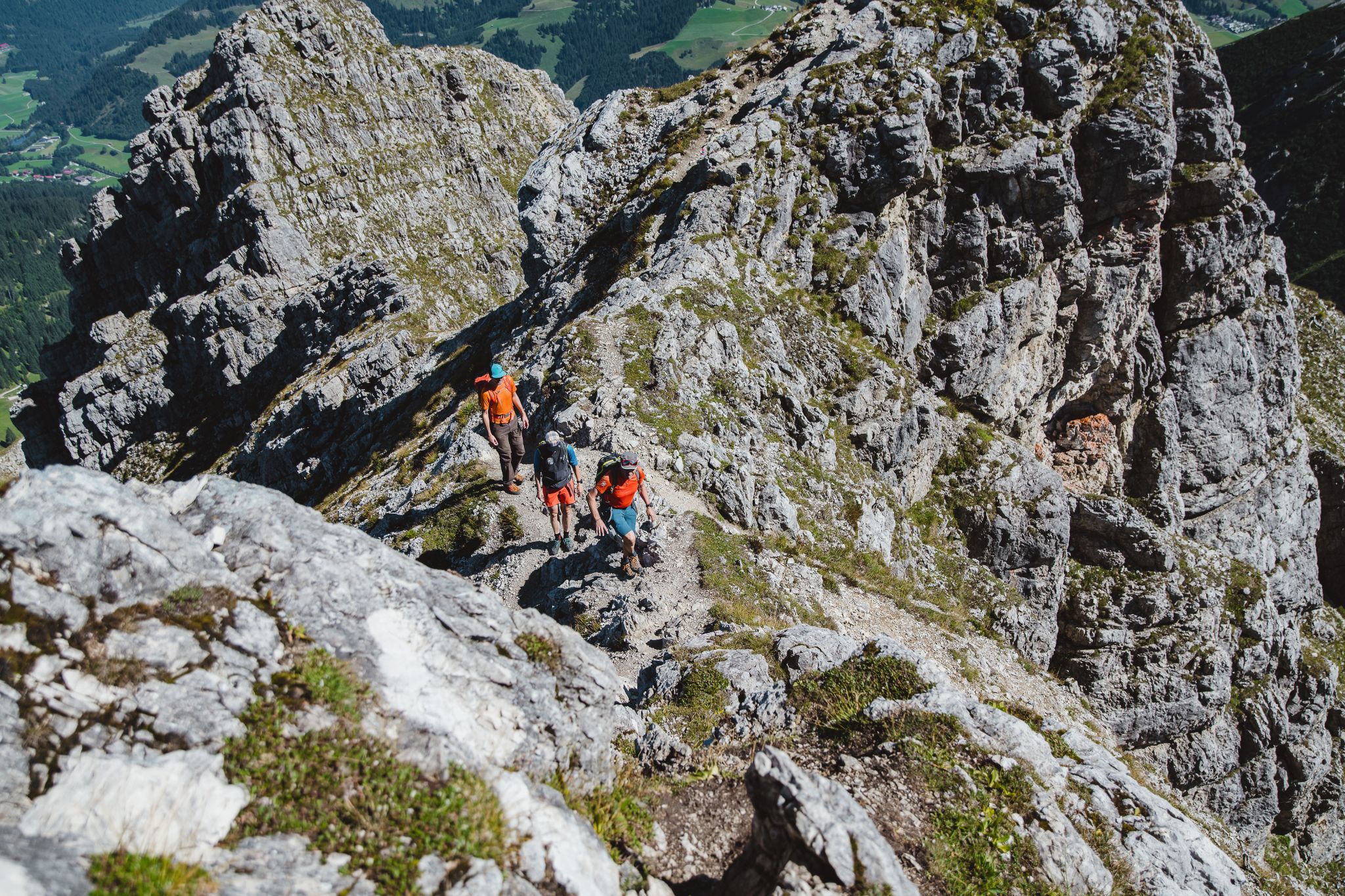
Fantastic day Tours around Bad Hindelang

Climbing Alpine peaks on the Route to the Top – Allgäu hiking trilogy
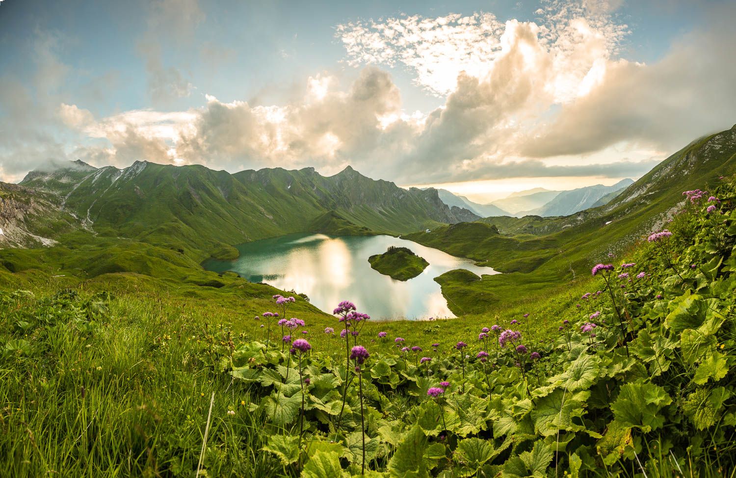
Grenzgänger – 6 Days Long Distance Hiking in Tannheimer Tal
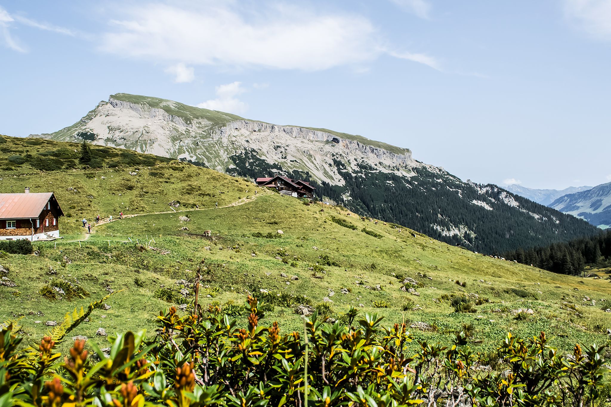
From hut to hut – 4 days through the Kleinwalsertal in Austria
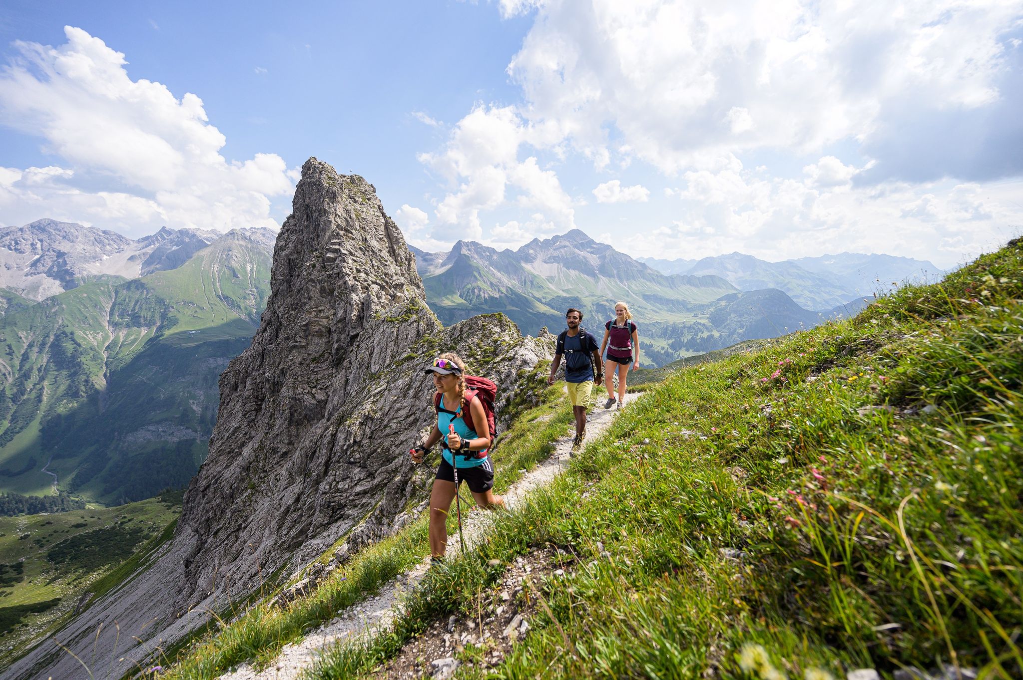
A hiker's paradise in Oberstdorf: Three altitudes packed with nature
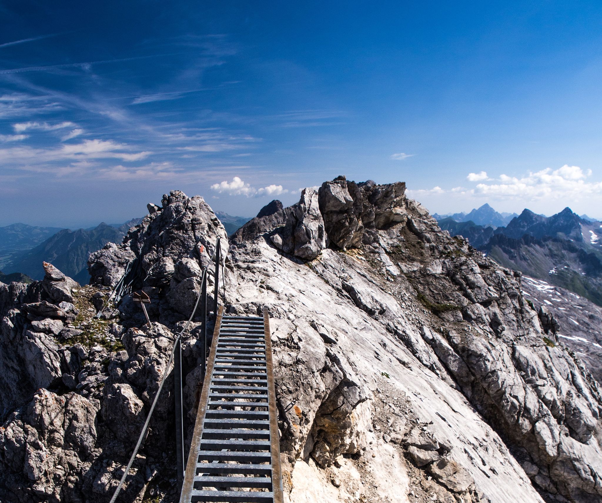
3 stages of summit happiness in Germany’s Allgäu – Heilbronner Way
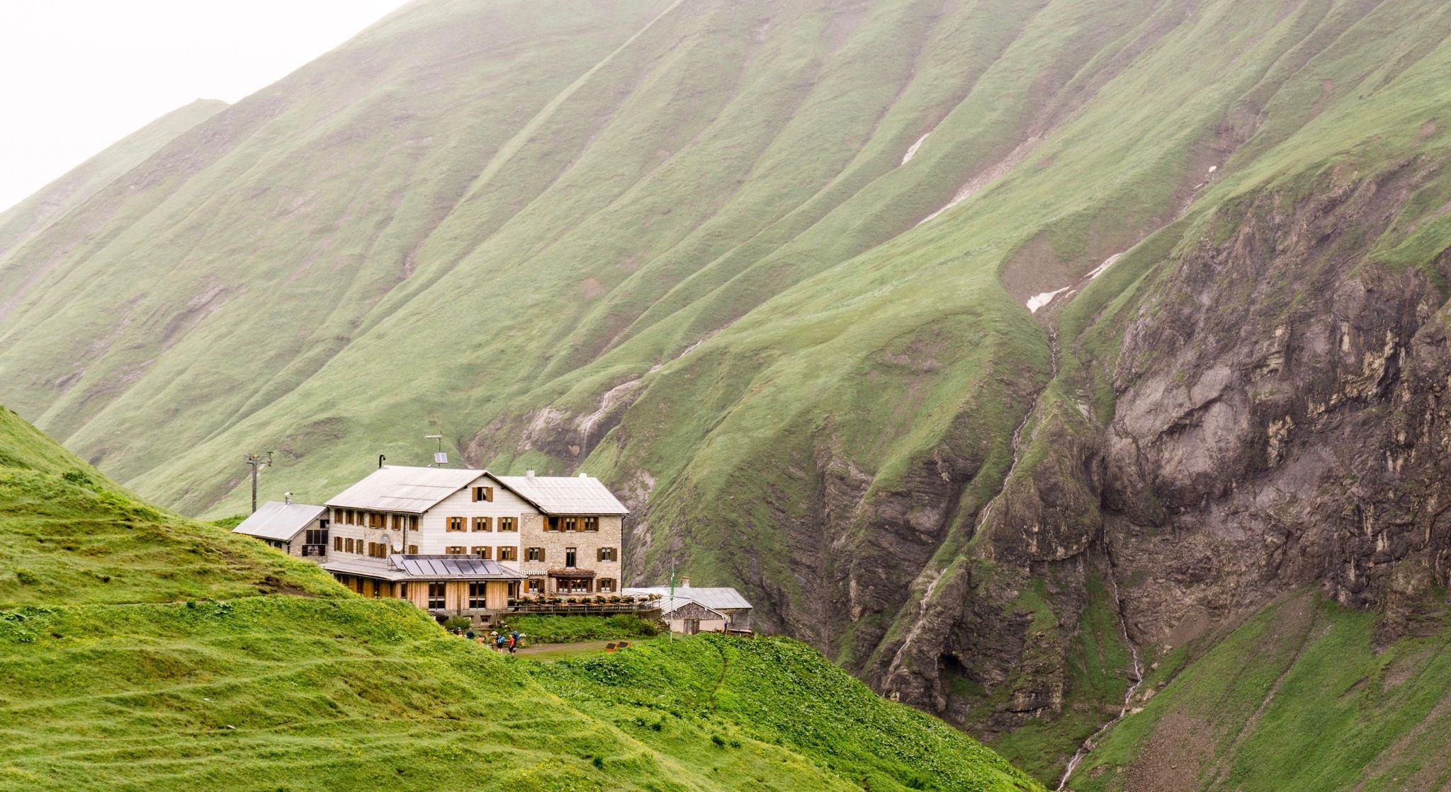
Huts for romantic getaways
Other adventures around Natural Park Allgäuer Hochalpen


Tips from the Community

Simply a fantastic hike! Since I'm not afraid of heights, I was skeptical, but I had no problems! Two sections after the Fellhorn summit were secured with ropes, but they weren't dangerous. In dry conditions and with good footwear, I highly recommend it!
4
1

A very beautiful ridge walk.
1
0
The Kleinwalsertal is a very beautiful valley for hiking.
0
0

The path from Fellhorn to Kanzelwand is also very nice to walk with children
0
0


The Willersalpe is romantically situated in a high valley, surrounded by towering mountains. Cheese is still being made at the Willersalpe, and you can buy one-year-old or two-year-old mountain cheese and/or enjoy a delicious snack or soup.
0
0

Magnificent
0
0
Frequently Asked Questions
How many hiking trails are accessible from bus stations in Natural Park Allgäuer Hochalpen?
There are over 30 hiking routes in Natural Park Allgäuer Hochalpen that are easily accessible from bus stations, offering a wide range of experiences from easy strolls to challenging mountain ascents.
What kind of landscapes can I expect on bus-accessible hikes in Natural Park Allgäuer Hochalpen?
The region offers incredibly diverse landscapes, from craggy peaks and rugged ridge lines to steep grass mountains, lush alpine meadows, and stunning mountain lakes. You'll also find deep gorges and impressive waterfalls, especially during spring snowmelt.
Are there any family-friendly hiking options accessible by bus?
Yes, the Natural Park Allgäuer Hochalpen has several easy and moderate routes suitable for families. These often feature gentler gradients and lead to scenic spots. Look for trails that explore the verdant alpine meadows or lead to accessible mountain lakes.
Can I find circular hiking routes that start and end at a bus station?
Many routes in the Natural Park Allgäuer Hochalpen are designed as circular walks, allowing you to start and finish your hike at the same bus stop. This is ideal for public transport users who want to avoid backtracking.
What are some scenic viewpoints or natural attractions I can reach on these bus-accessible trails?
You can discover several beautiful spots. For example, the Lower Gaisalp Lake and the View of the Gaisalpsee waterfall are accessible. The crystal-clear Christlessee is another highlight. For panoramic views, consider routes that offer glimpses of the Seealpsee or lead towards the Nebelhorn summit.
Are there any challenging hikes accessible by bus for experienced hikers?
Absolutely. For experienced hikers, routes like the Two alpine pastures tour over the Ponten offer significant elevation gain and rugged terrain. Another demanding option is the Schrecksee loop, known for its stunning mountain lake reward.
What is the best season for hiking in Natural Park Allgäuer Hochalpen when relying on bus access?
The best season for hiking is generally from late spring to early autumn (May to October). During these months, trails are typically clear of snow, alpine meadows are in bloom, and bus services to trailheads are more frequent. Always check local conditions, especially for higher altitude routes.
Are there mountain huts or cafes along the bus-accessible trails for refreshments?
Yes, many routes in the Allgäu Alps feature traditional alpine huts (Alpenhütten) where you can stop for refreshments or even an overnight stay. The Rappensee Hut is a well-known example, often accessible via longer hikes. Always check opening times before you go.
What do other hikers enjoy most about these bus-accessible trails?
The area is highly rated by the komoot community, with an average score of 4.6 stars. Reviewers often praise the breathtaking panoramic views, the diverse and well-maintained trail network, and the convenience of reaching stunning natural beauty spots directly from public transport.
Are there any trails that lead to waterfalls or gorges?
Yes, the region is known for its impressive gorges (Tobel) and waterfalls. A notable route is the Gerstruben Mountain Village – Hölltobel Waterfall loop, which takes you past a beautiful waterfall. The Oytal Valley also features deep gorges that are worth exploring.
Can I bring my dog on these bus-accessible hiking trails?
Generally, dogs are welcome on most hiking trails in the Natural Park Allgäuer Hochalpen, provided they are kept on a leash, especially in nature protection areas and near grazing livestock. Always check specific trail regulations and public transport rules regarding dogs before your trip.
Most popular routes around Natural Park Allgäuer Hochalpen
Most popular attractions around Natural Park Allgäuer Hochalpen

Get inspired with the komoot mobile app


Explore more
Browse the best Hikes in other regions.
