Haut Lieu Tectonique Suisse Sardona
Haut Lieu Tectonique Suisse Sardona
The 20 Most Amazing Peaks in Haut Lieu Tectonique Suisse Sardona
Best mountain peaks in Haut Lieu Tectonique Suisse Sardona are found within a UNESCO World Heritage site, a mountainous region in northeastern Switzerland. This area spans 32,850 hectares and is recognized for its geological insights into mountain building through continental collision. It features clear three-dimensional exposures of tectonic thrusts, where older rocks are pushed over younger ones. This makes it a significant location for geological studies and exploration.
Best mountain peaks in Haut Lieu Tectonique Suisse Sardona
- The most popular…
Last updated: August 30, 2026
Pizol Summit
Highlight • Summit
PIZOLGIPFEL
Zum Pizolgipfel auf 2844 m ü. M. führt seit 2012 eine neue alpine Route. Diese ist aus Sicherheitsgründen vom Pizolgletscher in den Felsen verlegt worden und blau-weiss markiert. An Steinschlag-exponierten Stellen wurden zudem Stahlseile als Handlauf angebracht.
Tip by

Murgsee-Furggel Pass
Highlight • Mountain Pass
Beautiful view of the Murgsee
Translated by Google •
Tip by

Sign up now to discover places like this
Get recommendations on the best single tracks, peaks, & plenty of other exciting outdoor places.
Sign up for free
Five Lakes Hike (5-Lake Hike) Pizol
Highlight (Segment) • Trail
Translated by Google •
Tip by

Fronalpstock Summit
Highlight • Summit
Translated by Google •
Tip by

Gulmen (2317 m)
Highlight • Summit
Translated by Google •
Tip by

Sign up for free to discover even more peaks in Haut Lieu Tectonique Suisse Sardona.
Sign up for free
Already have an account?
Start today with a free account
Your next adventure awaits.
Login or Signup
Popular around Haut Lieu Tectonique Suisse Sardona

Sardona World Heritage Trail – Where the Alps once formed

Lake and Alps Adventure – explore 100 dreamy places in our cycling region!
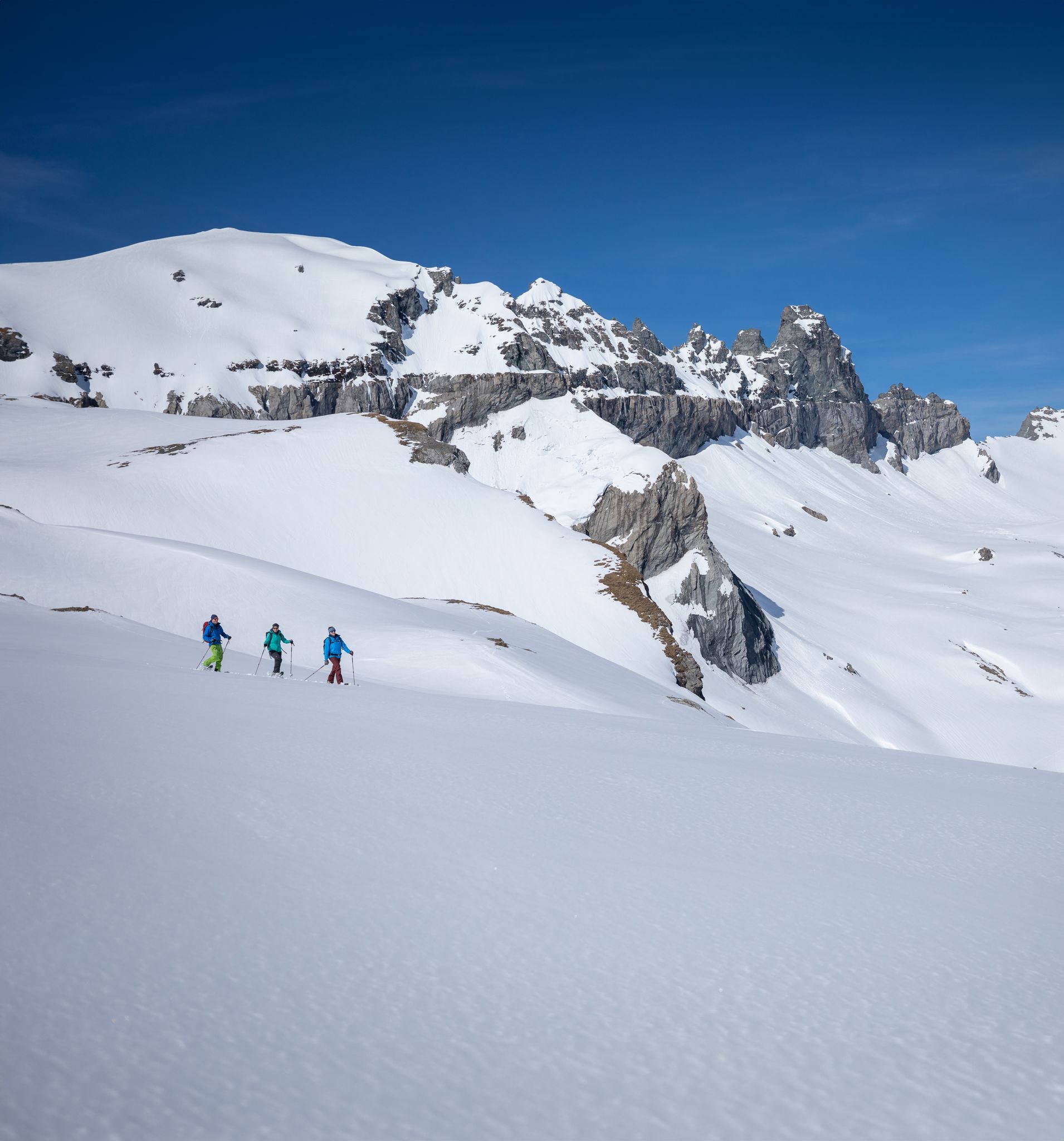
Stomp into winter bliss – snowshoeing in Flims Laax Falera
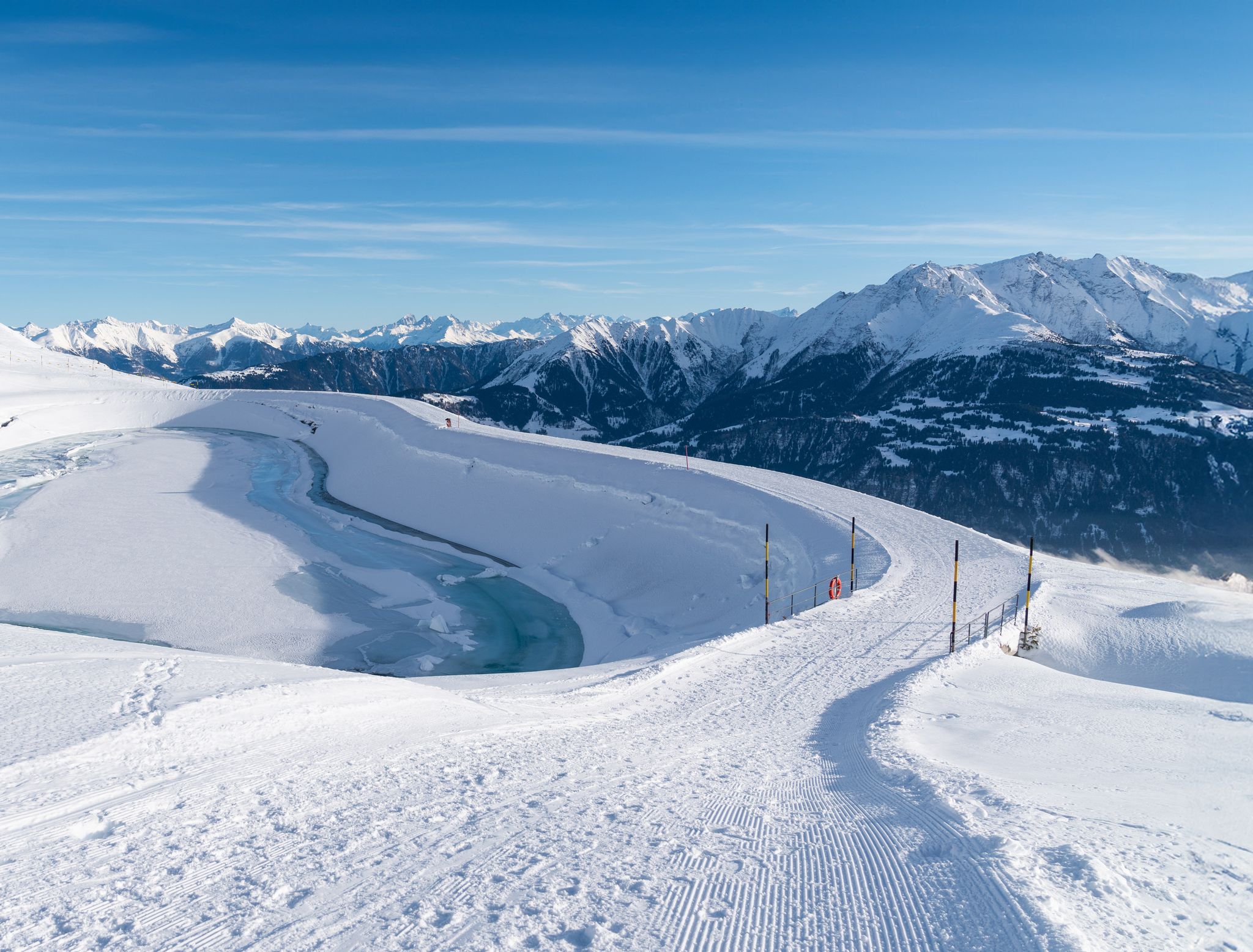
Winter hiking with a view in Flims Laax Falera in Switzerland
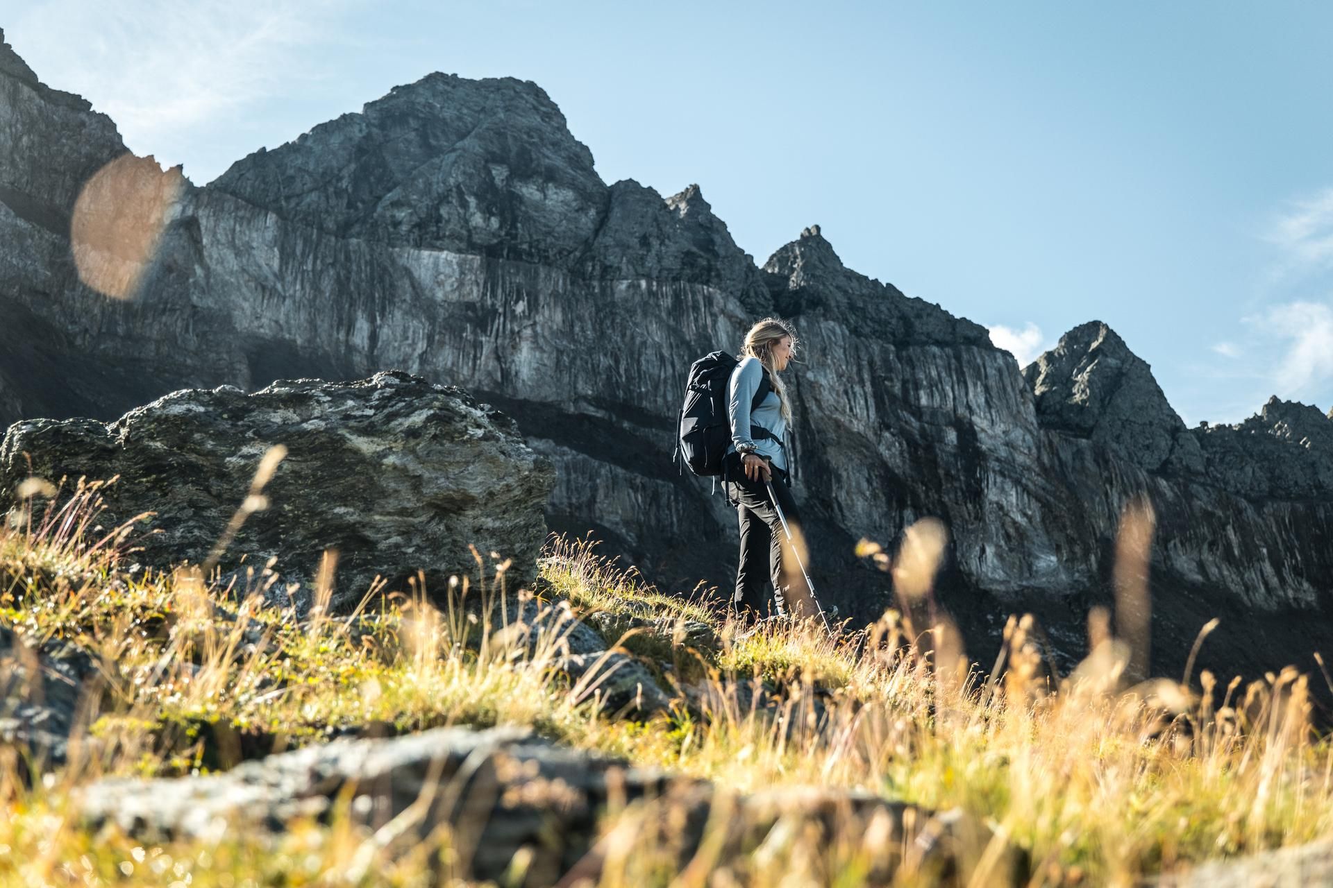
Hiking in the Swiss Tectonic Arena Sardona – Segnes Trek

Blue lakes, wide panoramas & autumnal splendour – hiking in Heidiland
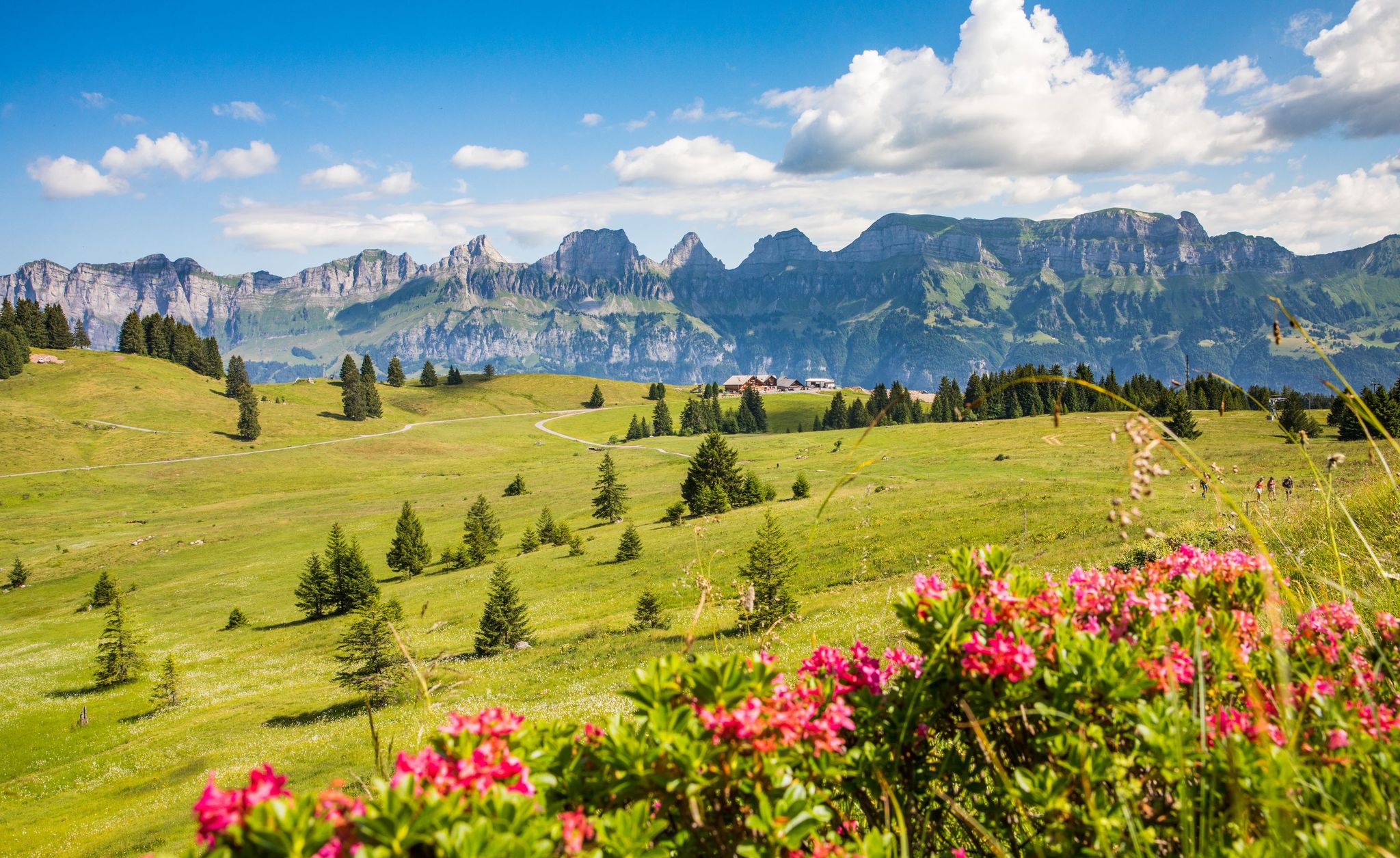
Pure Swiss mountain idyll – hikes in Heidiland
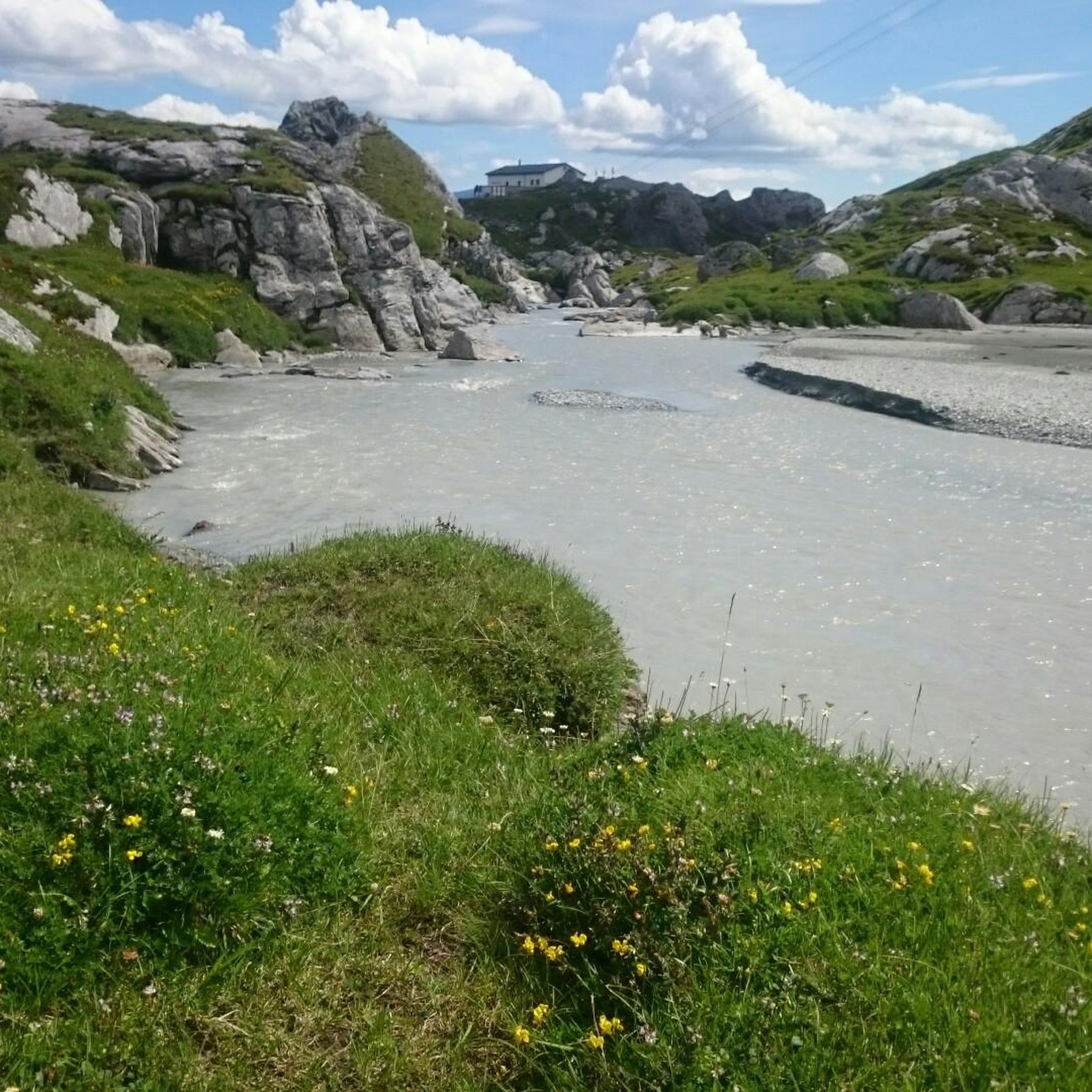
MTB Trails in Haut Lieu Tectonique Suisse Sardona
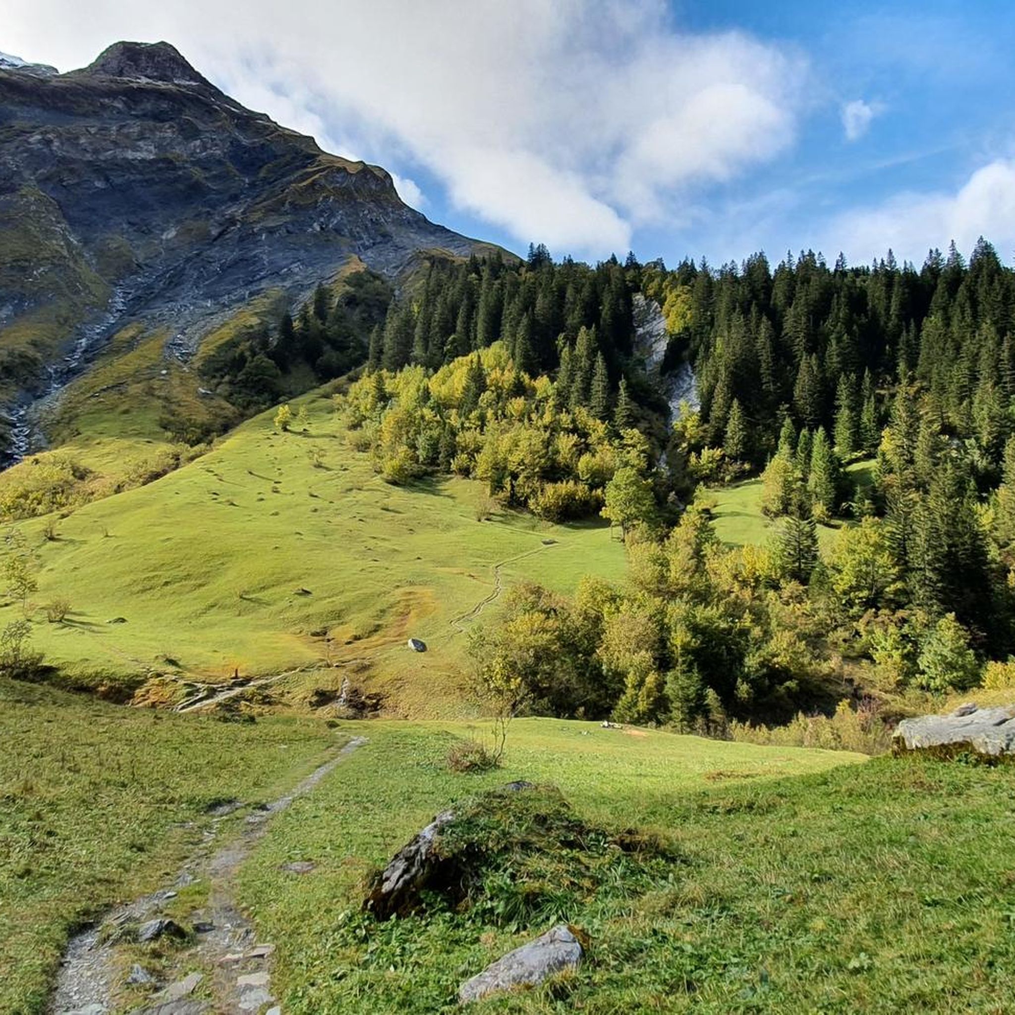
Hiking in Haut Lieu Tectonique Suisse Sardona
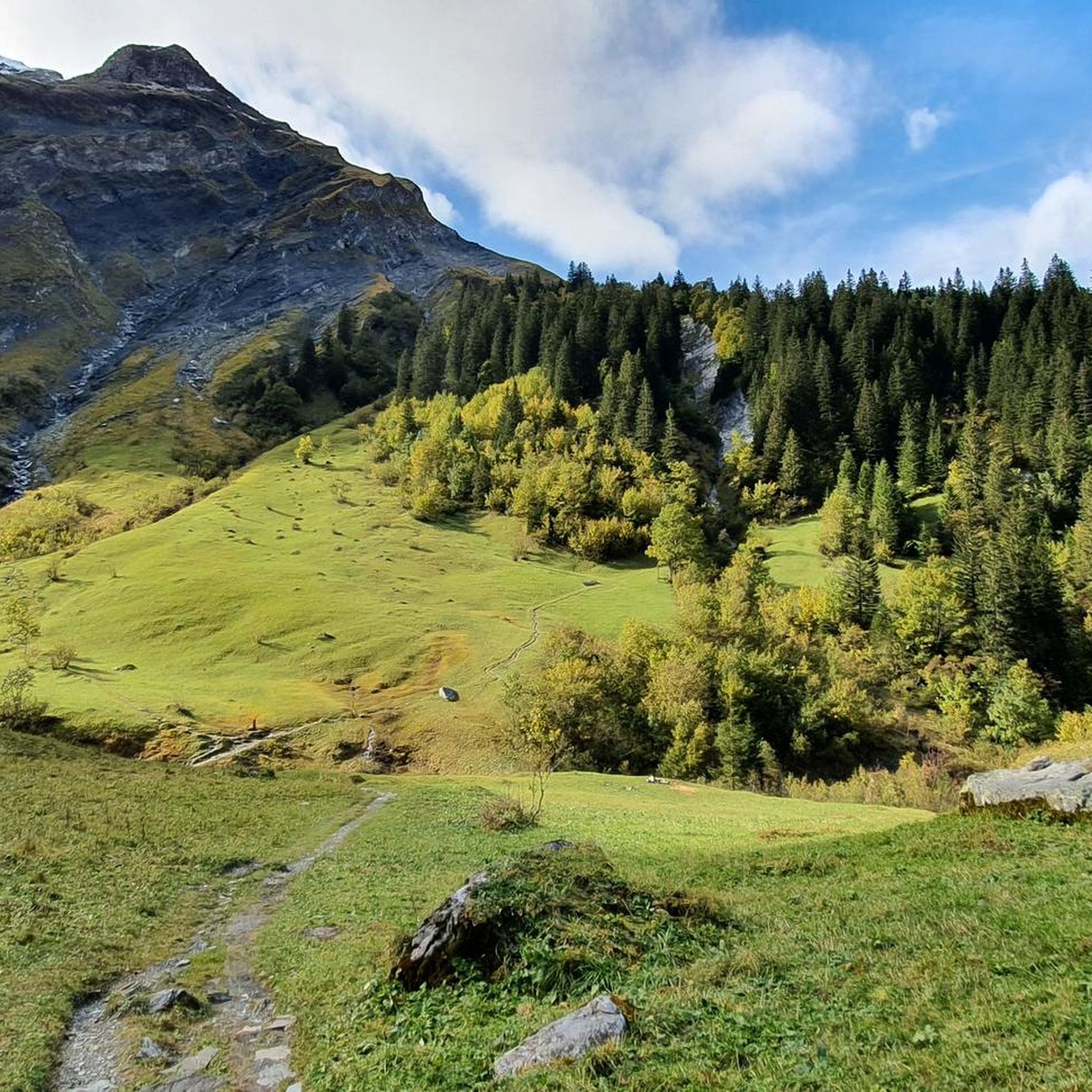
Road Cycling Routes in Haut Lieu Tectonique Suisse Sardona
Other adventures in Haut Lieu Tectonique Suisse Sardona


Tips from the Community

It's best to use the first half hour for the ascent, then you won't be stressed about time during the hike and can take leisurely breaks. the hike requires good footwear, endurance, and sure-footedness even in difficult terrain. there is hardly any shade because it is above the tree line.
0
0

very pretty here, very pretty, very pretty
0
0

The 5-Lakes Hike on the Pizol is absolutely stunning in terms of scenery – each lake has its own character, and the panoramas are breathtaking. The route is well-marked, but quite challenging at altitude and on some steep sections, which is why I would classify it as a difficult T2. Those with surefootedness and a bit of stamina will be rewarded with an unforgettable nature experience.
0
0

A very popular ski tour summit, although most people only go as far as the saddle. The ascent to the summit sometimes requires crampons and an ice axe, especially when the safety ropes are still covered in snow. When there is good snow to walk on, like today, you can do without. However, the path is exposed. Great view from the summit cross.
0
0

Beautiful hike in the Pizol area
5
0

Pass crossing Murgseefurgglen / Mürtschenfurgglen 1985 m above sea level SG / GL (saddle) Beautiful view of the Murgsee
10
0

Great view The path from Fronalppass is marked blue and white, i.e. as an Alpine hiking trail A little below the summit you have to climb up a couloir - well secured on both sides with massive metal chains
2
0

Pass crossing (saddle, 1985 m) between the Murgseen (SG) and the Mürtschental (GL), exactly on the canton border SG/GL. Super views in both directions.
4
0
Frequently Asked Questions
What makes the Haut Lieu Tectonique Suisse Sardona region unique for mountain peaks?
The Haut Lieu Tectonique Suisse Sardona is a UNESCO World Heritage site renowned for its exceptional geological insights into mountain building. It features clear, three-dimensional exposures of tectonic thrusts, where older rocks are pushed over younger ones. This makes it a crucial location for understanding continental collision and offers a dramatic landscape shaped by these forces. You can learn more about its global significance on the UNESCO website.
Which mountain peaks are particularly significant for their geological features?
Two peaks stand out for their geological importance. Piz Sardona (also known as Surenstock) is the namesake of the World Heritage site and offers an exceptional opportunity to witness the 'Glarus thrust' firsthand, where 250-300 million-year-old rocks have been pushed over much younger rocks. The Tschingelhörner are another key location, famous for the 'Martinsloch,' a triangular breakthrough in the rock face that dramatically illustrates the powerful geological forces at play.
What are some of the most popular mountain peaks or passes to visit in the region?
Visitors frequently enjoy the Murgsee-Furggel Pass, which offers beautiful views of the Murgsee. The Gulmen (2317 m) is also very popular, providing wonderful views of the Graubünden and Glarus Alps, with the Sächserseeli below its summit. Another highly-rated spot is the Pizol Summit, known for its fascinating panoramic views.
Are there any challenging summits for experienced mountaineers in the Haut Lieu Tectonique Suisse Sardona?
Yes, for experienced mountaineers, Ringelspitz (or Piz Barghis) at 3,248 meters is the highest summit in the canton of St. Gallen and offers a demanding ascent with unparalleled panoramic views. The Fronalpstock Summit also presents a challenging T4 hike with chains for assistance near the top, providing a rewarding experience for those seeking a more technical climb. The Pizol Summit also features an alpine route that requires sure-footedness and a head for heights.
What natural phenomena can I witness in the Haut Lieu Tectonique Suisse Sardona?
The most unique natural phenomenon is the Martinsloch, a triangular hole in the rock face of the Tschingelhörner. Twice a year, in March and October, the sun shines directly through this hole onto the church steeple in Elm for a few minutes. This spectacular event draws many visitors and highlights the powerful geological forces that shaped the Alps.
What kind of views can I expect from the peaks in this region?
The peaks in Haut Lieu Tectonique Suisse Sardona offer spectacular and extensive panoramic views. From Ringelspitz, you can see from the Ötztal Alps to the Weisshorn in Valais. The Gulmen (2317 m) provides wonderful vistas of the Graubünden and Glarus Alps. Even the Garmil, at just over 2,000 meters, offers a great view of the beautiful Rhine Valley.
Are there family-friendly options for exploring the mountain peaks?
While many peaks offer challenging climbs, there are options for families. For instance, an excursion to the Tschinglen Alp via gondola offers an exciting audio guide about the Tectonic Arena's history and leads to viewpoints with panoramic views, including the Martinsloch. Some highlights like the Gulmen (2317 m) can be reached via intermediate trails, making them more accessible for families with some hiking experience.
What outdoor activities and trails are available near these mountain peaks?
The region offers a variety of outdoor activities. You can find numerous mountain hikes, such as the 'Wildsee – Schotten Lake loop from Pizolhütte' or the 'Guggli Bridge – Murgsee loop from Bachlaui'. For general hiking, trails like the 'Murgsee pleasure tour' and 'View of Piz Sardona – St. Martin Chapel loop from Stausee Gigerwald' are popular. There are also gravel biking routes, including the 'Shore of Lake Obersee – Linth Canal loop from Glarus'. You can explore more options in the Mountain Hikes and Hiking guides for the region.
What is the best time of year to visit the mountain peaks in Haut Lieu Tectonique Suisse Sardona?
The best time to visit the mountain peaks in Haut Lieu Tectonique Suisse Sardona is generally during the warmer months, from late spring to early autumn (June to October). During this period, snow has largely melted from most trails, and weather conditions are more stable for hiking and mountaineering. The unique Martinsloch phenomenon can be observed in March and October.
What do visitors appreciate most about the mountain peaks in Haut Lieu Tectonique Suisse Sardona?
Visitors highly appreciate the stunning panoramic views, the unique geological formations, and the challenging yet rewarding alpine experiences. The region's diverse summits, mountain passes, and viewpoints are frequently praised. Many enjoy the sense of accomplishment from reaching summits like Fronalpstock Summit and the beautiful scenery around places like Murgsee-Furggel Pass.
Are there any peaks that offer exceptional panoramic views?
Yes, several peaks are celebrated for their panoramic vistas. Ringelspitz, the highest summit in St. Gallen, offers an extensive view stretching across a vast alpine landscape. The Gulmen (2317 m) provides a wonderful perspective of the Graubünden and Glarus Alps. Additionally, the Pizol Summit is known for its fascinating 360-degree views.
Can I find trails suitable for different difficulty levels in the Haut Lieu Tectonique Suisse Sardona?
Yes, the region offers a wide range of trails catering to various difficulty levels. You can find intermediate trails suitable for casual hikers, such as those leading to Gulmen (2317 m). For more experienced adventurers, there are challenging alpine tours and climbs to summits like Ringelspitz and Fronalpstock Summit, some requiring specific alpine skills and equipment. The nearby Hiking in Haut Lieu Tectonique Suisse Sardona guide provides details on routes with varying difficulties.
Most popular routes in Haut Lieu Tectonique Suisse Sardona
Most popular attractions in Haut Lieu Tectonique Suisse Sardona

Get inspired with the komoot mobile app


Explore more
See even more amazing summits in Haut Lieu Tectonique Suisse Sardona with these guides:
