Haut Lieu Tectonique Suisse Sardona
Haut Lieu Tectonique Suisse Sardona
The best gravel rides in Haut Lieu Tectonique Suisse Sardona
4.5
(185)
1,879
riders
74
rides
Gravel biking in Haut Lieu Tectonique Suisse Sardona traverses a landscape shaped by significant geological processes, featuring diverse terrain for cyclists. The region is characterized by its tectonic formations, including exposed rock strata and valleys carved by ancient glaciers, offering varied surfaces from compacted gravel paths to more rugged mountain trails. Cyclists can expect routes that wind through alpine meadows, alongside rivers like the Linth, and ascend to viewpoints providing expansive vistas of the Swiss Alps. These geological features along…
Last updated: August 26, 2026
4.0
(1)
20
riders
33.5km
02:26
650m
650m
Hard gravel ride. Very good fitness required. Mostly paved surfaces. Suitable for all skill levels.
4.0
(3)
30
riders
65.9km
03:25
360m
360m
Moderate gravel ride. Good fitness required. Mostly paved surfaces. Suitable for all skill levels.

Sign up for free
4.5
(2)
10
riders
26.2km
02:42
1,060m
1,060m
Hard gravel ride. Very good fitness required. Mostly paved surfaces. Suitable for all skill levels.
4.5
(2)
8
riders
23.2km
01:58
630m
630m
Hard gravel ride. Very good fitness required. You may need to push your bike for some segments of this route.
1
riders
11.3km
00:51
210m
210m
Moderate gravel ride. Good fitness required. Mostly paved surfaces. Suitable for all skill levels.
Get access to more routes and recommendations from other explorers.
Sign up for free
Already have an account?
Our route recommendations are based on thousands of hikes, rides, and runs completed by other people on komoot.
Start today with a free account
Your next adventure awaits.
Login or Signup
Popular around Haut Lieu Tectonique Suisse Sardona

Sardona World Heritage Trail – Where the Alps once formed

Lake and Alps Adventure – explore 100 dreamy places in our cycling region!
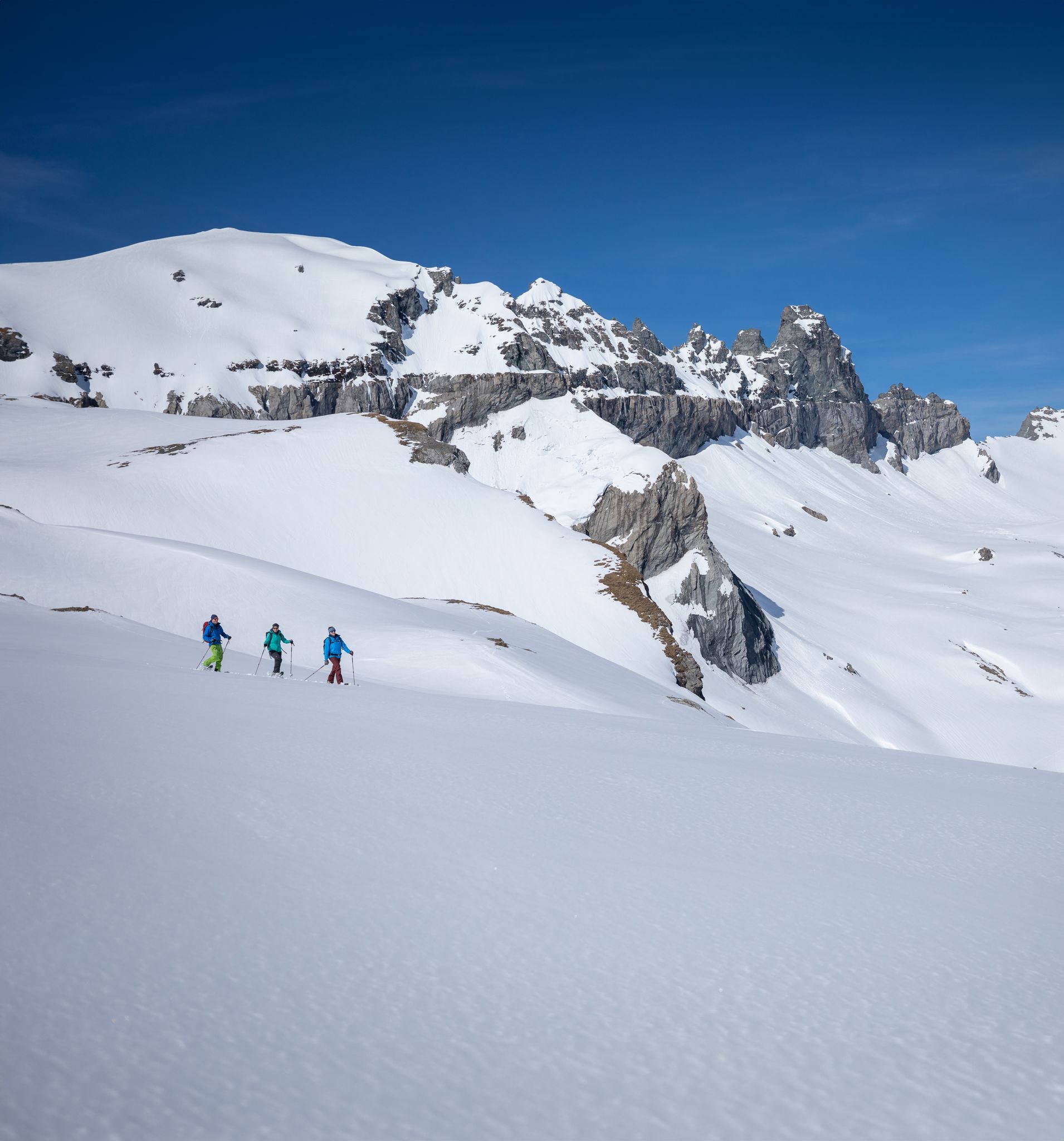
Stomp into winter bliss – snowshoeing in Flims Laax Falera
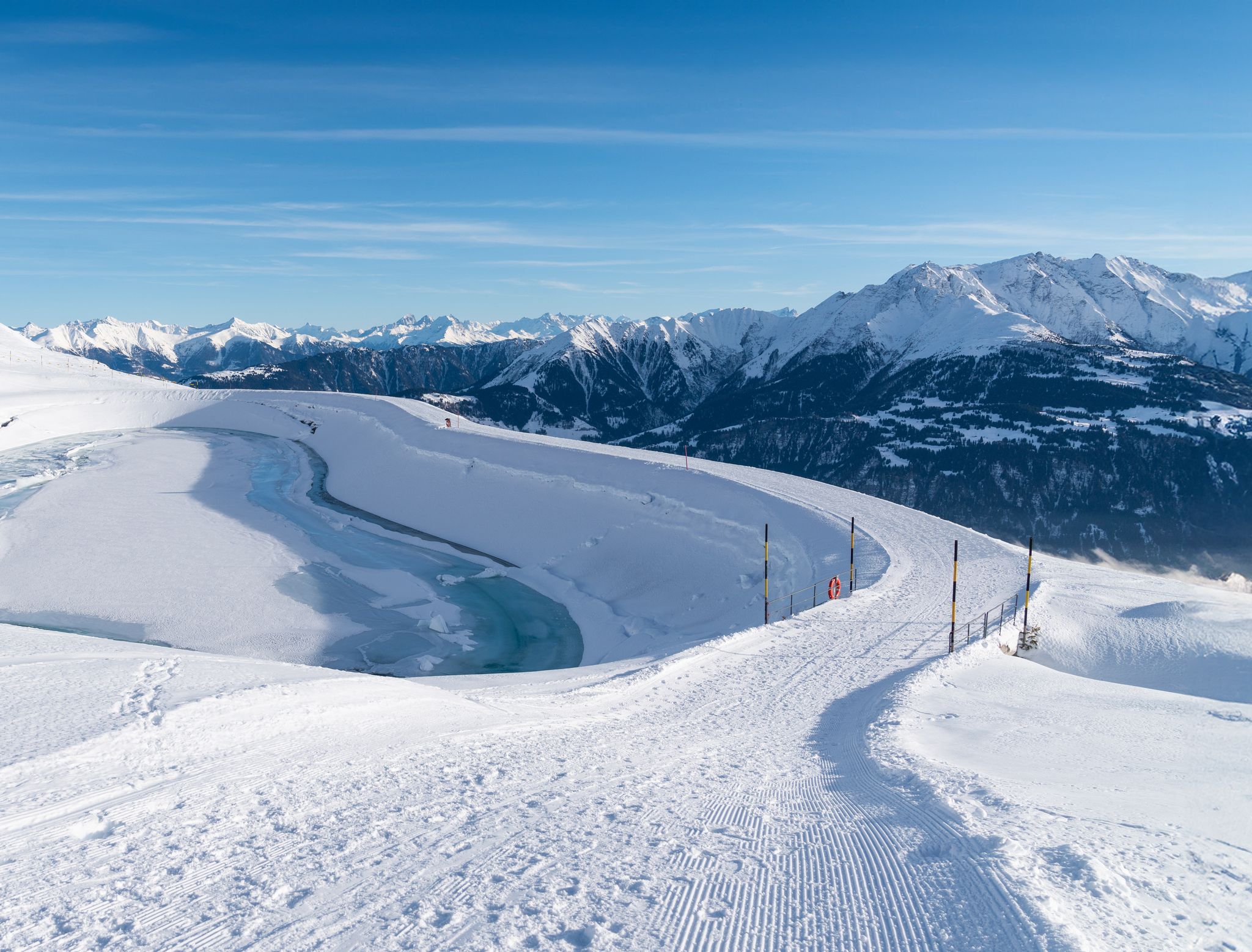
Winter hiking with a view in Flims Laax Falera in Switzerland
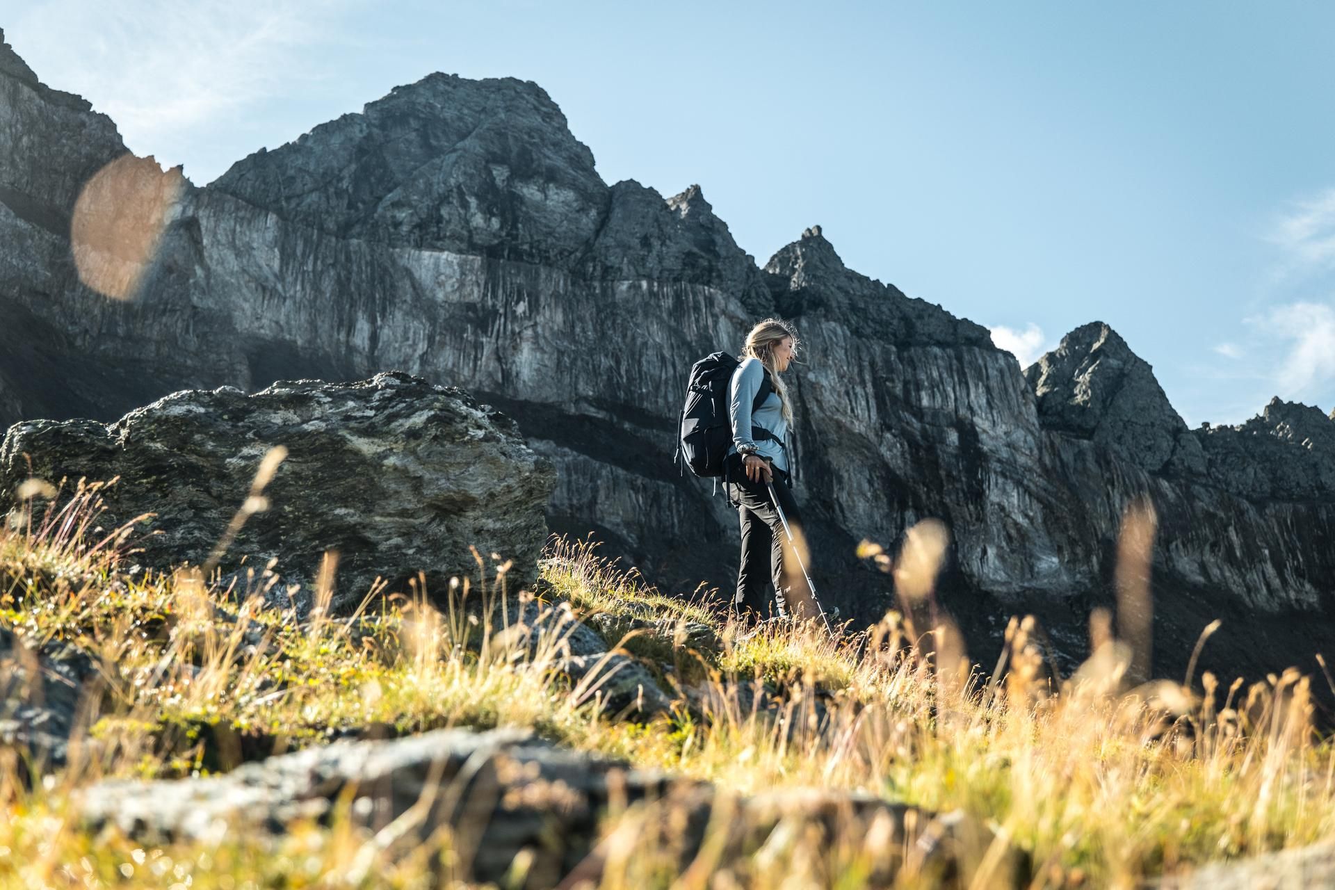
Hiking in the Swiss Tectonic Arena Sardona – Segnes Trek

Blue lakes, wide panoramas & autumnal splendour – hiking in Heidiland
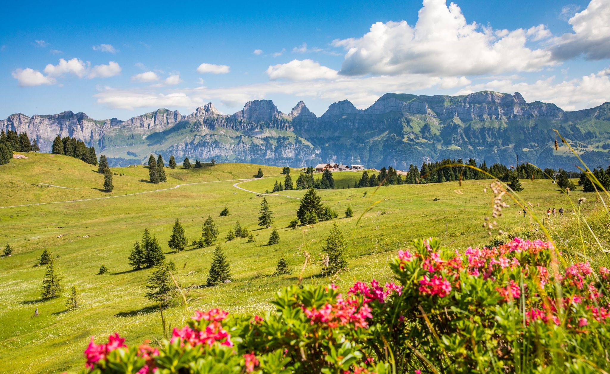
Pure Swiss mountain idyll – hikes in Heidiland
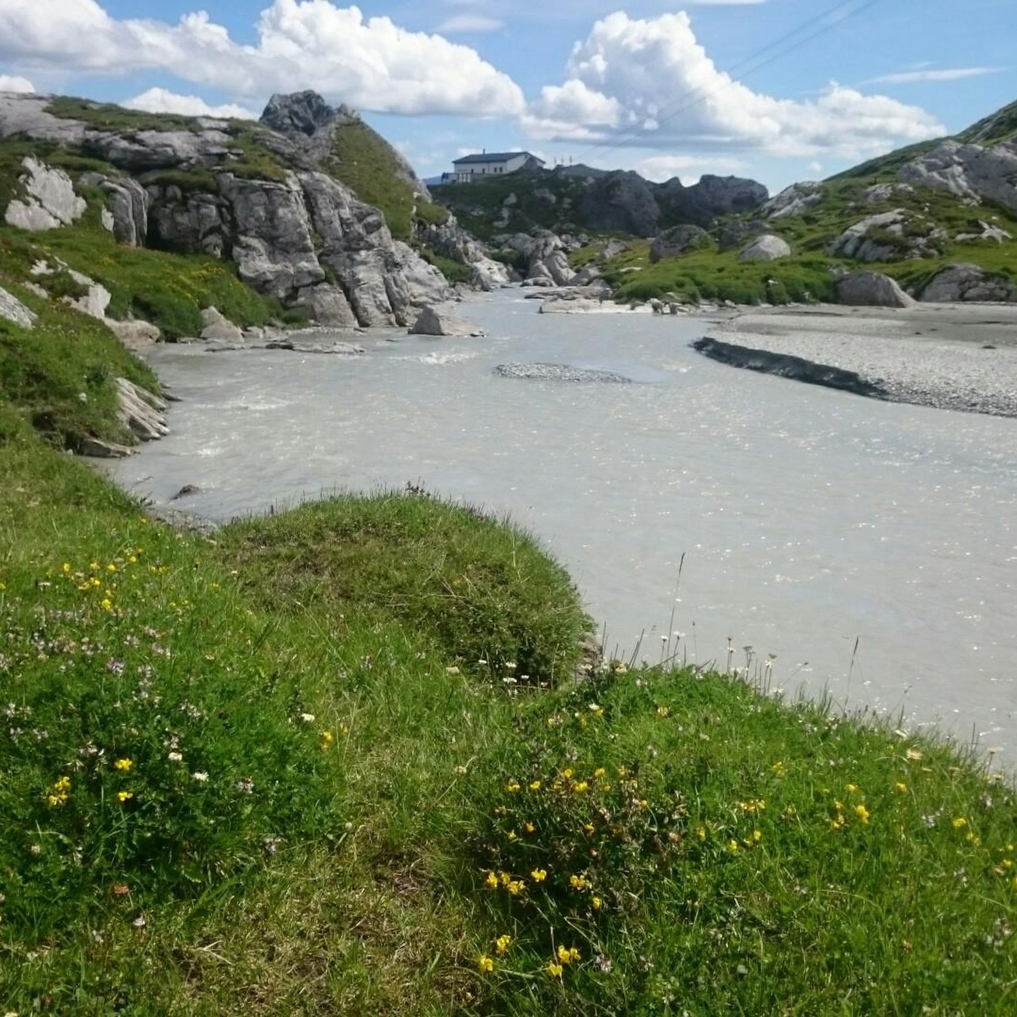
MTB Trails in Haut Lieu Tectonique Suisse Sardona
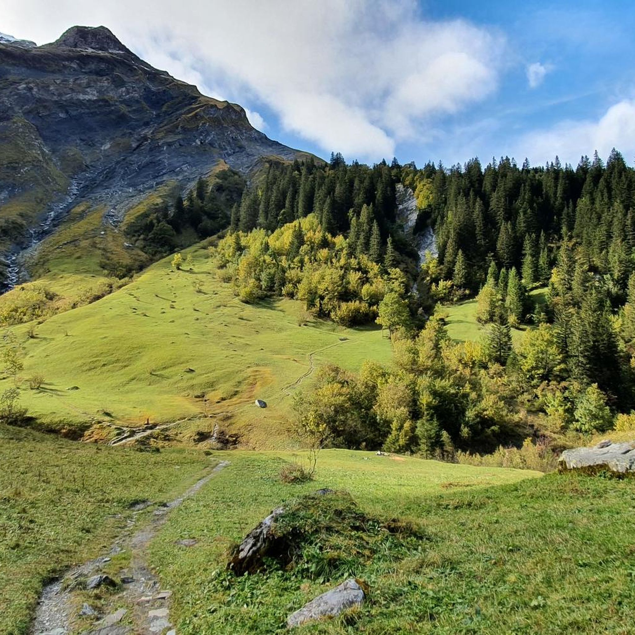
Hiking in Haut Lieu Tectonique Suisse Sardona
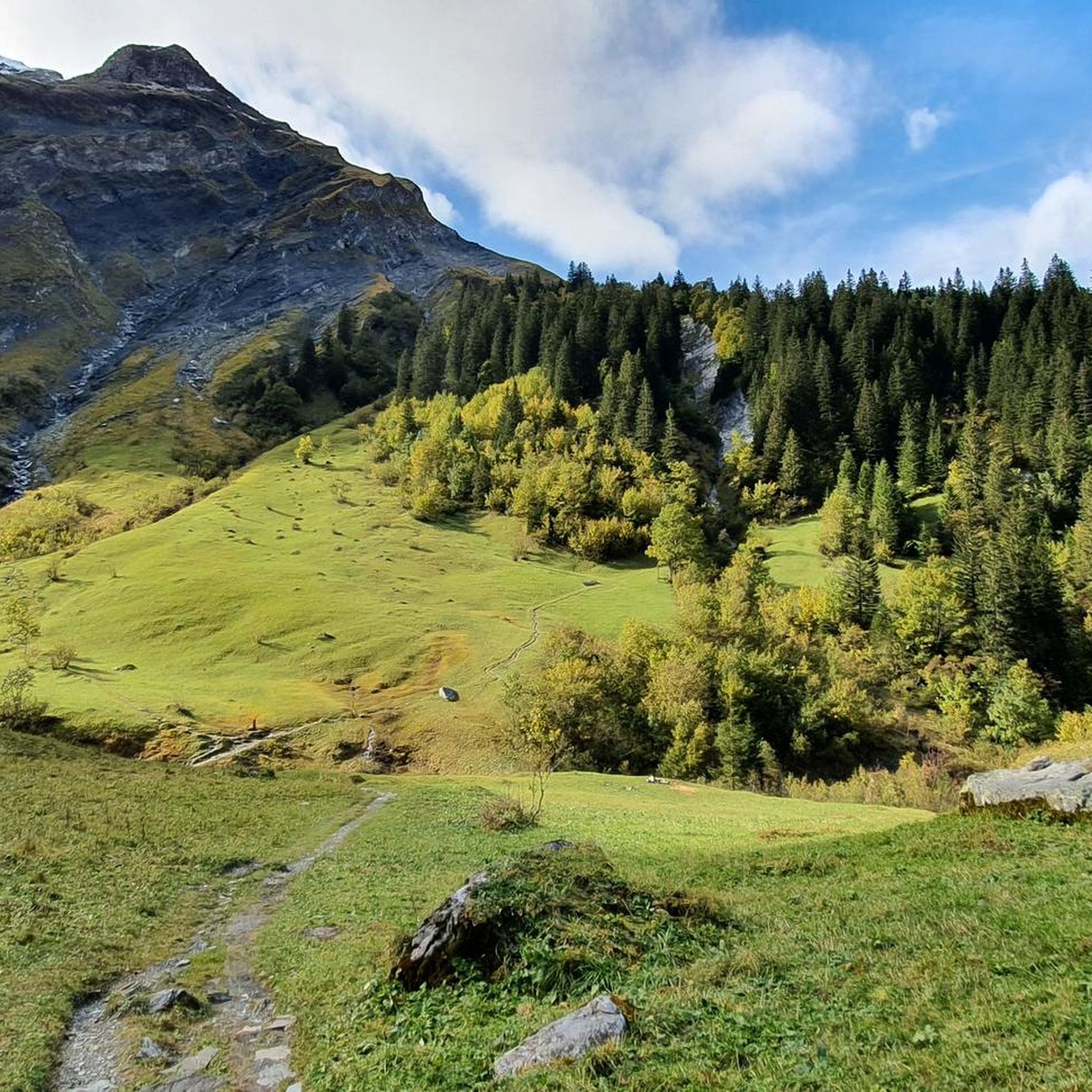
Road Cycling Routes in Haut Lieu Tectonique Suisse Sardona
Other adventures in Haut Lieu Tectonique Suisse Sardona


Tips from the Community


Many bunkers and simply a great area.
0
0

When the weather is nice, the food carts are open with tables. Swimming in the Linth: A matter of course for locals, for others it can be a challenge to get into or jump into the cold, rushing Linth. With little water (July/August), the Linth can also be waded through.
0
0


Good shower after a hot descent.
0
0


Frequently Asked Questions
What is the general difficulty level of gravel biking in Haut Lieu Tectonique Suisse Sardona?
The region offers a wide range of difficulties. While there are 7 easy routes, the majority of the 105 available gravel bike trails are moderate (29 routes) or difficult (69 routes), featuring significant elevation changes and challenging terrain. You'll find everything from flat canal-side paths to demanding alpine ascents.
Are there any family-friendly gravel biking options in Haut Lieu Tectonique Suisse Sardona?
Yes, there are several routes suitable for families, particularly those that follow the flatter river paths. For a moderate option that avoids extreme climbs, consider the Linth River Cycle Path – Tschachenwäldli Forest Trail loop from Schwanden, which is 25.7 km long and takes about 1 hour 38 minutes.
What is the best time of year for gravel biking in Haut Lieu Tectonique Suisse Sardona?
The best time for gravel biking in Haut Lieu Tectonique Suisse Sardona is typically from late spring to early autumn (May to October). During these months, the weather is generally more stable, and higher alpine passes are clear of snow, offering access to the full range of trails. Winter riding can be challenging due to snow and ice, especially at higher elevations.
Where can I find parking for gravel bike trails in the region?
Many routes in Haut Lieu Tectonique Suisse Sardona start from towns like Glarus, Ennenda, or Schwanden, where public parking facilities are available. Specific parking information is usually detailed on individual route pages on komoot, so it's best to check the tour details for your chosen route.
Are there any beginner-friendly gravel bike routes in Haut Lieu Tectonique Suisse Sardona?
Absolutely. While many routes are challenging, there are 7 easy routes perfect for beginners or those looking for a more relaxed ride. These often follow river valleys or flatter sections. A good moderate option that is relatively flat is the Linth Canal – Linth Canal loop from Glarus, which is 68.1 km long and takes about 4 hours 37 minutes.
What kind of geological features can I expect to see along the gravel bike trails?
Haut Lieu Tectonique Suisse Sardona is a UNESCO World Heritage site renowned for its geological formations. You'll encounter exposed rock strata, valleys carved by ancient glaciers, and impressive mountainscapes. The trails often traverse areas where the Glarus overthrust is visible, showcasing millions of years of tectonic activity.
Are there any circular gravel bike routes available?
Yes, many of the gravel bike trails in Haut Lieu Tectonique Suisse Sardona are designed as loops, allowing you to start and finish at the same point. Examples include the popular Shore of Lake Obersee – Linth Canal loop from Glarus, a moderate 79.1 km route, and the more challenging Sool Village – Höfliegg Trail loop from Ennenda.
What do other gravel bikers enjoy most about the region?
The area is highly rated by the komoot community, with an average score of 4.7 stars from over 280 reviews. Reviewers often praise the diverse terrain, from scenic lake shores and river paths to challenging alpine passes, and the stunning geological backdrop of the Swiss Alps. The variety ensures there's something for every skill level.
Are there any waterfalls or lakes to see along the gravel bike routes?
Yes, the region is rich in natural beauty. You can find several stunning waterfalls, such as the Segnesboden Waterfall or the impressive Batöni Waterfall Arena. There are also beautiful lakes like Wildseeluggen and Schottensee, which offer picturesque spots to rest and enjoy the views.
Can I access gravel bike trails using public transport?
Many starting points for gravel bike trails in Haut Lieu Tectonique Suisse Sardona are accessible via public transport, particularly in larger towns like Glarus. Swiss public transport is generally excellent, and trains and buses often have options for bicycle transport, though it's advisable to check specific routes and times in advance.
Are there any advanced gravel bike routes for experienced riders?
Definitely. Haut Lieu Tectonique Suisse Sardona is home to 69 difficult gravel bike routes, offering significant elevation gains and technical challenges. A prime example is the Vorder Höhi Pass (1536 m) – View of Lake Walen loop from Glarus, an 88.8 km path with substantial climbing that provides extensive views of Lake Walen.
What kind of viewpoints can I expect on the gravel bike trails?
The region offers numerous breathtaking viewpoints, especially on routes that ascend to higher elevations. You can expect panoramic vistas of the Swiss Alps, deep glacial valleys, and picturesque lakes like Lake Walen. The geological formations themselves also provide unique and dramatic scenery.
Most popular routes in Haut Lieu Tectonique Suisse Sardona
Most popular attractions in Haut Lieu Tectonique Suisse Sardona

Get inspired with the komoot mobile app


Explore more
Browse the best Gravel rides in other regions.
