Easy hikes and walks in Haut Lieu Tectonique Suisse Sardona
4.6
(15024)
107,706
hikers
1,835
hikes
Easy hiking trails in Haut Lieu Tectonique Suisse Sardona traverse a UNESCO World Heritage site known for its unique geological formations and dramatic landscapes. The region is characterized by glaciated peaks, narrow river valleys, and visible tectonic thrusts where older rocks lie atop younger ones. This area offers an exceptional "open-air laboratory" to observe the forces that shaped the Alps, featuring varied rock formations and alpine pastures.
Best easy hiking trails in Haut Lieu Tectonique Suisse Sardona
- The most popular…
Last updated: July 7, 2026
5.0
(19)
266
hikers
3.90km
01:04
60m
60m
Easy hike. Great for any fitness level. Easily-accessible paths. Suitable for all skill levels.
4.0
(2)
13
hikers
3.38km
01:06
150m
150m
Easy hike. Great for any fitness level. Easily-accessible paths. Suitable for all skill levels.

Sign up for free
4.6
(18)
106
hikers
4.66km
01:28
190m
190m
Easy hike. Great for any fitness level. Easily-accessible paths. Suitable for all skill levels.
4.6
(5)
32
hikers
2.71km
00:43
30m
30m
Easy hike. Great for any fitness level. Easily-accessible paths. Suitable for all skill levels.
4.0
(4)
20
hikers
3.40km
01:05
130m
130m
Easy hike. Great for any fitness level. Easily-accessible paths. Suitable for all skill levels.
Get access to more routes and recommendations from other explorers.
Sign up for free
Already have an account?
Our route recommendations are based on thousands of hikes, rides, and runs completed by other people on komoot.
Start today with a free account
Your next adventure awaits.
Login or Signup
Popular around Haut Lieu Tectonique Suisse Sardona

Sardona World Heritage Trail – Where the Alps once formed
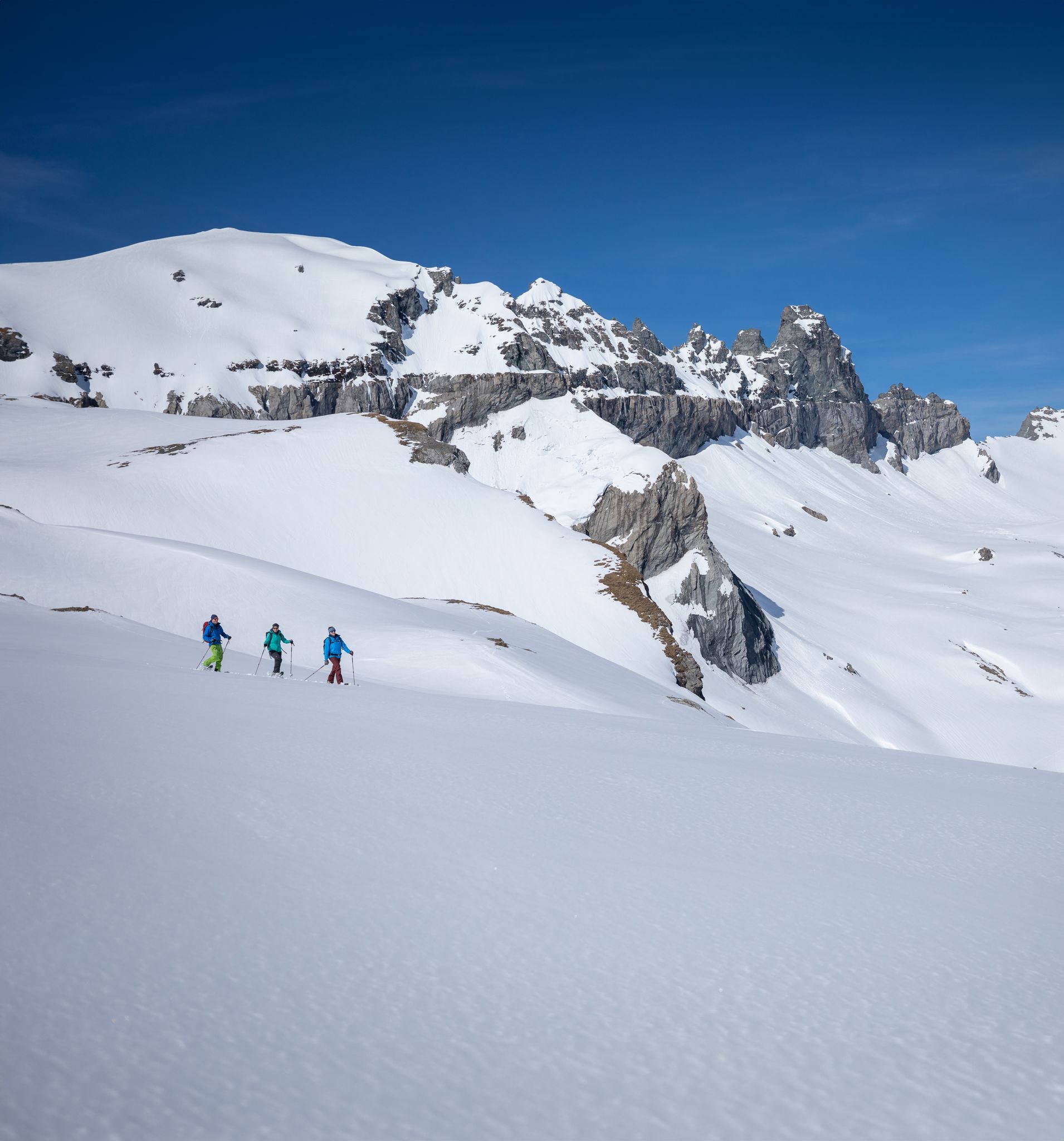
Stomp into winter bliss – snowshoeing in Flims Laax Falera
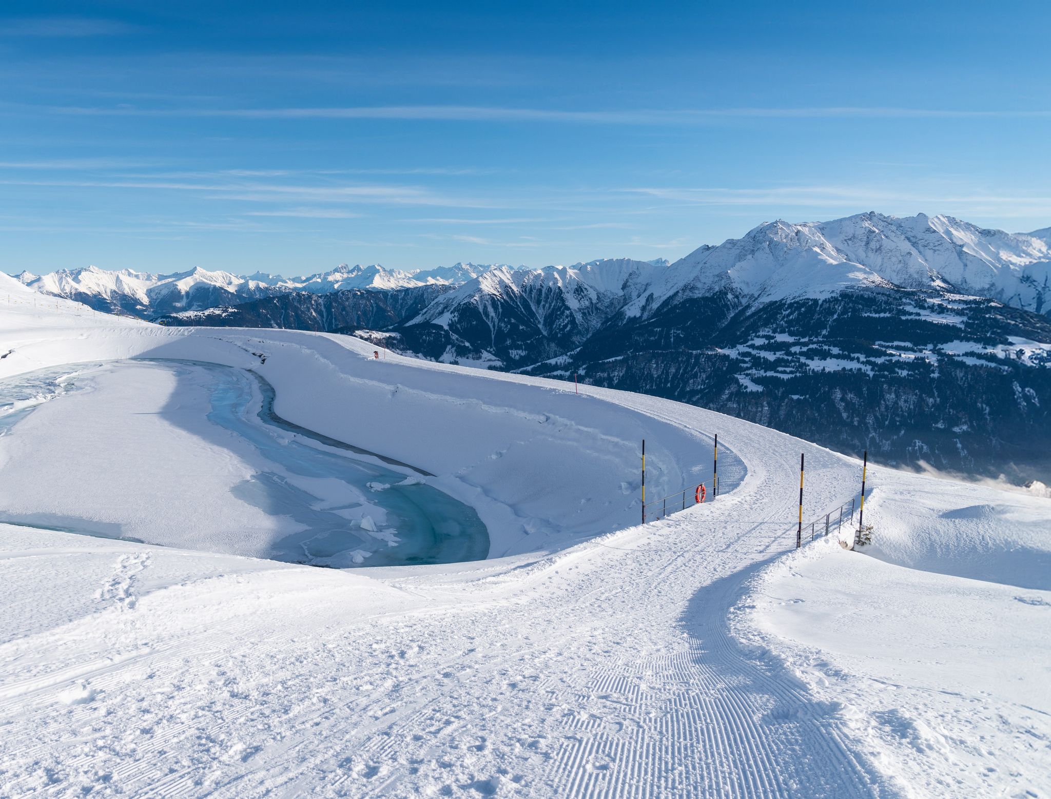
Winter hiking with a view in Flims Laax Falera in Switzerland
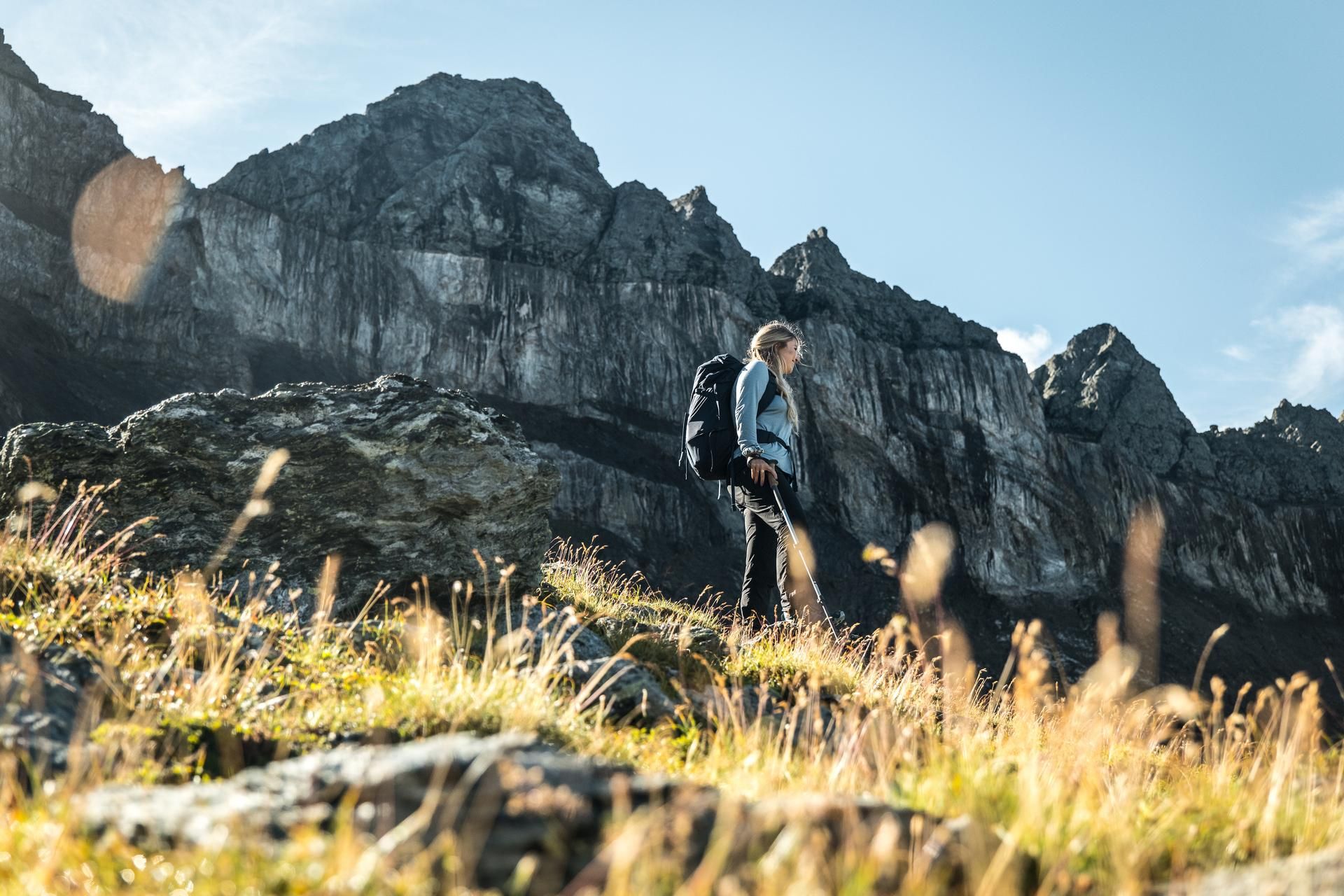
Hiking in the Swiss Tectonic Arena Sardona – Segnes Trek

Blue lakes, wide panoramas & autumnal splendour – hiking in Heidiland
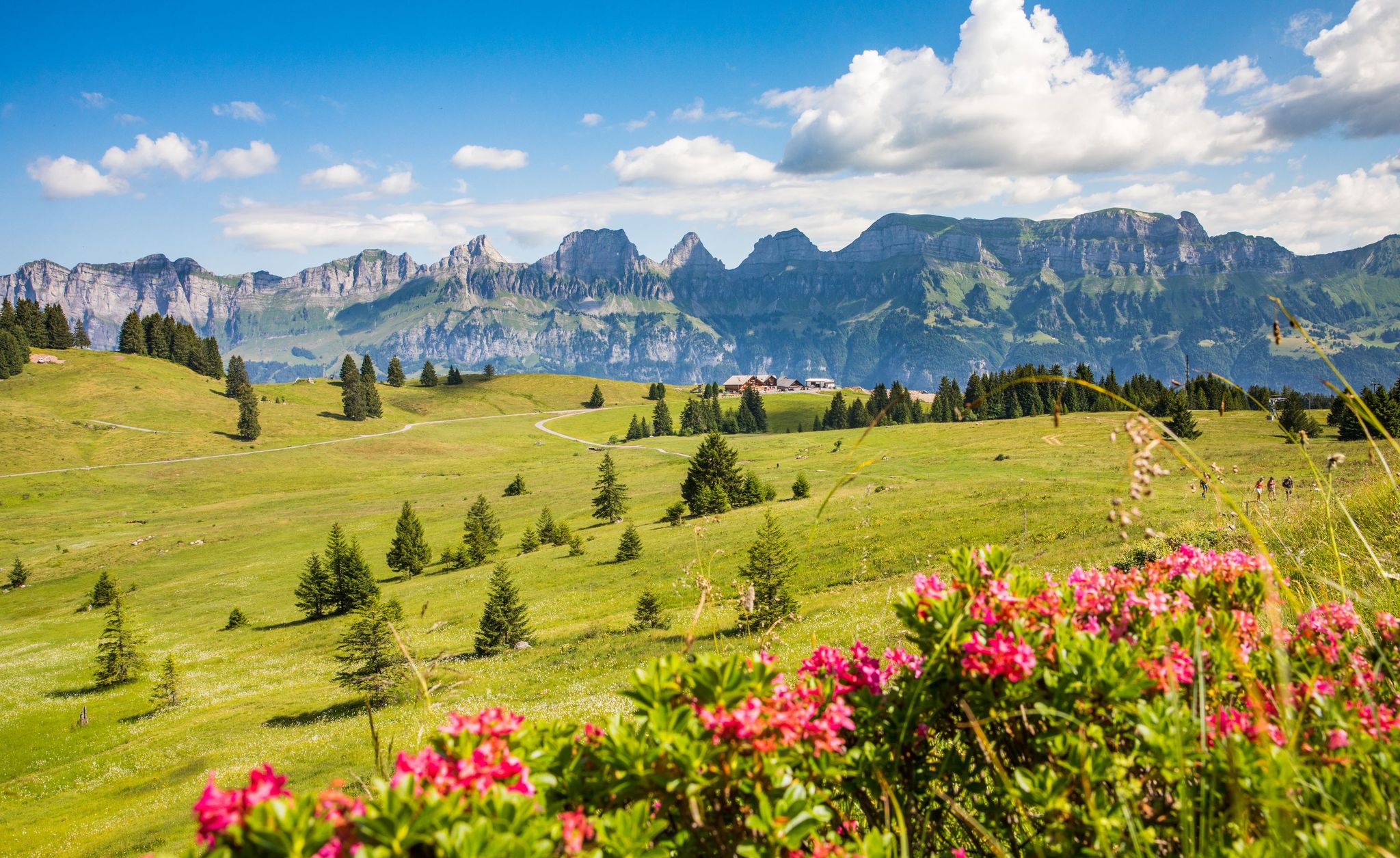
Pure Swiss mountain idyll – hikes in Heidiland

Lake and Alps Adventure – explore 100 dreamy places in our cycling region!
Other adventures in Haut Lieu Tectonique Suisse Sardona


Tips from the Community

Another great place for a snack and to recover after the long e-bike ride, before tackling the descent or another climb.
0
0

There is wood provided in a covered box next to the BBQ spot and a garbage can. Fresh water can be found by the farm yard about 350m away.
0
0

Open Tuesdays to Sundays in good weather from 10 am to 6 pm. Cash only. The restaurant is without power, nothing to charge ;-)
0
0


Great refreshment on a hike, thank you Elmer Citro!!
4
0
Great refreshment on a hike, thank you Elmer Citro!!
5
0
Great family trail.
5
0

Lovingly decorated outdoor seating, very friendly hostess. Coffee and cake were delicious.
0
0
Frequently Asked Questions
How many easy hiking trails are available in Haut Lieu Tectonique Suisse Sardona?
Haut Lieu Tectonique Suisse Sardona offers a wide selection of easy hiking trails. There are over 600 easy routes available, allowing you to explore the unique geological formations and stunning alpine scenery at a comfortable pace.
What makes the hiking in Haut Lieu Tectonique Suisse Sardona unique?
The region is a UNESCO World Heritage site, renowned for its exceptional geological formations, particularly the Glarus Overthrust. This 'magic line' visibly demonstrates how older rocks were thrust over younger ones during the formation of the Alps. Hikers can directly observe these dramatic geological structures, making it an 'open-air laboratory' for Earth's history.
What geological features can I see on easy hikes in Sardona?
On easy hikes, you can observe the distinct Glarus Overthrust, where 250 to 300-million-year-old rocks rest atop much younger 35 to 50-million-year-old sediments. Keep an eye out for varied rock formations, including greenish to reddish Permian Verrucano rocks. The dramatic glaciated peaks of the Glarus Alps also provide a stunning backdrop.
Are there family-friendly easy hikes in Haut Lieu Tectonique Suisse Sardona?
Yes, many easy trails are suitable for families. For instance, the Campfire Site by the Lake – Talalpsee loop from Filzbach is a picturesque 2.9-mile route that takes about 1 hour 27 minutes, perfect for a family outing by the lake.
Can I bring my dog on easy hiking trails in Haut Lieu Tectonique Suisse Sardona?
Most easy hiking trails in Haut Lieu Tectonique Suisse Sardona are dog-friendly, but it's always recommended to keep your dog on a leash, especially in nature protection areas or near grazing livestock. Always check specific trail regulations before you go.
Are there any waterfalls visible from easy hiking trails?
Yes, the region features several beautiful waterfalls. While hiking, you might encounter highlights like the Segnesboden Waterfall or the impressive Batöni Waterfall Arena. For more options, you can explore the dedicated guide to Waterfalls in Haut Lieu Tectonique Suisse Sardona.
What is the best time of year for easy hikes in Haut Lieu Tectonique Suisse Sardona?
The best time for easy hikes is generally from late spring to early autumn (May to October), when trails are clear of snow and the alpine flora is in bloom. Summer offers warmer temperatures, while autumn provides stunning fall foliage. Always check local weather and trail conditions before heading out.
Are there any interesting viewpoints or landmarks along easy trails?
Absolutely. Many easy trails offer breathtaking views and lead to notable landmarks. You can spot the jagged peaks of Tschingelhörner and the famous Martinsloch, a natural rock window. Highlights like Wildseeluggen or Schwarzsee (Pizol) offer stunning lake views. For more, consult the guide to Attractions in Haut Lieu Tectonique Suisse Sardona.
What do other hikers enjoy the most about hiking in Haut Lieu Tectonique Suisse Sardona?
The area is highly rated by the komoot community, with an average score of 4.6 stars from over 2,600 reviews. Hikers often praise the stunning panoramic views, the unique geological insights, and the well-maintained paths that make exploring this UNESCO World Heritage site accessible and enjoyable.
Are there easy circular walks available?
Yes, many easy routes are designed as circular walks. For example, the Elmer Citro Fountain – Elmer Citro Puzzle Station 2 loop from Elm is an easy 2.1-mile circular trail that takes about 1 hour 5 minutes, offering a pleasant and engaging experience.
How long do easy hikes in Haut Lieu Tectonique Suisse Sardona typically take?
Easy hikes in the region vary in length and duration. Many popular easy trails, such as the Pizol panoramic high-altitude trail (2.4 miles), can be completed in about 1 to 1.5 hours. Shorter options are also available for a quicker stroll.
Is public transport available to access easy hiking trails?
Public transport is generally well-developed in Switzerland, and many trailheads in the Haut Lieu Tectonique Suisse Sardona region are accessible by bus or train. It's advisable to check local transport schedules for specific starting points of your chosen easy hike.
Are there any easy winter hiking options in Sardona?
While many trails are snow-covered in winter, some routes are specifically prepared for winter hiking. An example is the Bargis Valley – Beautiful winter hiking trail loop from Burgruine Belmont, an easy 1.7-mile route suitable for a winter stroll. Always check current conditions and avalanche warnings before a winter hike.
Most popular routes in Haut Lieu Tectonique Suisse Sardona
Most popular attractions in Haut Lieu Tectonique Suisse Sardona

Get inspired with the komoot mobile app


Explore more
Browse the best Hikes in other regions.
