Haut Lieu Tectonique Suisse Sardona
Haut Lieu Tectonique Suisse Sardona
The best MTB trails in Haut Lieu Tectonique Suisse Sardona
4.6
(7463)
47,152
riders
511
rides
Mountain bike trails in Haut Lieu Tectonique Suisse Sardona traverse a UNESCO World Heritage site known for its dramatic alpine landscapes and exceptional geological features. The region is characterized by monumental mountain and valley formations, including the visible Glarus Thrust where older rocks are pushed over younger ones. Jagged peaks like the Tschingelhörner, protected moorlands such as Segnesböden, and picturesque mountain lakes like Murgsee and Walensee define the diverse terrain. These features create varied riding conditions, from flowing sections to…
Last updated: July 2, 2026
5.0
(33)
430
riders
10.2km
00:34
0m
990m
Moderate mountain bike ride. Great for any fitness level. Advanced riding skills necessary.
4.8
(37)
152
riders
48.3km
03:56
1,290m
1,290m
Hard mountain bike ride. Very good fitness required. Suitable for all skill levels.

Sign up for free
4.7
(3)
27
riders
15.3km
01:12
410m
410m
Moderate mountain bike ride. Good fitness required. Suitable for all skill levels.
5.0
(1)
13
riders
14.1km
02:17
820m
830m
Hard mountain bike ride. Good fitness required. Advanced riding skills necessary. Some portions of the route may require you to push your bike.
4.7
(57)
255
riders
27.8km
02:38
950m
950m
Hard mountain bike ride. Very good fitness required. Advanced riding skills necessary.
Get access to more routes and recommendations from other explorers.
Sign up for free
Already have an account?
Our route recommendations are based on thousands of hikes, rides, and runs completed by other people on komoot.
Start today with a free account
Your next adventure awaits.
Login or Signup
Popular around Haut Lieu Tectonique Suisse Sardona

Sardona World Heritage Trail – Where the Alps once formed

Lake and Alps Adventure – explore 100 dreamy places in our cycling region!
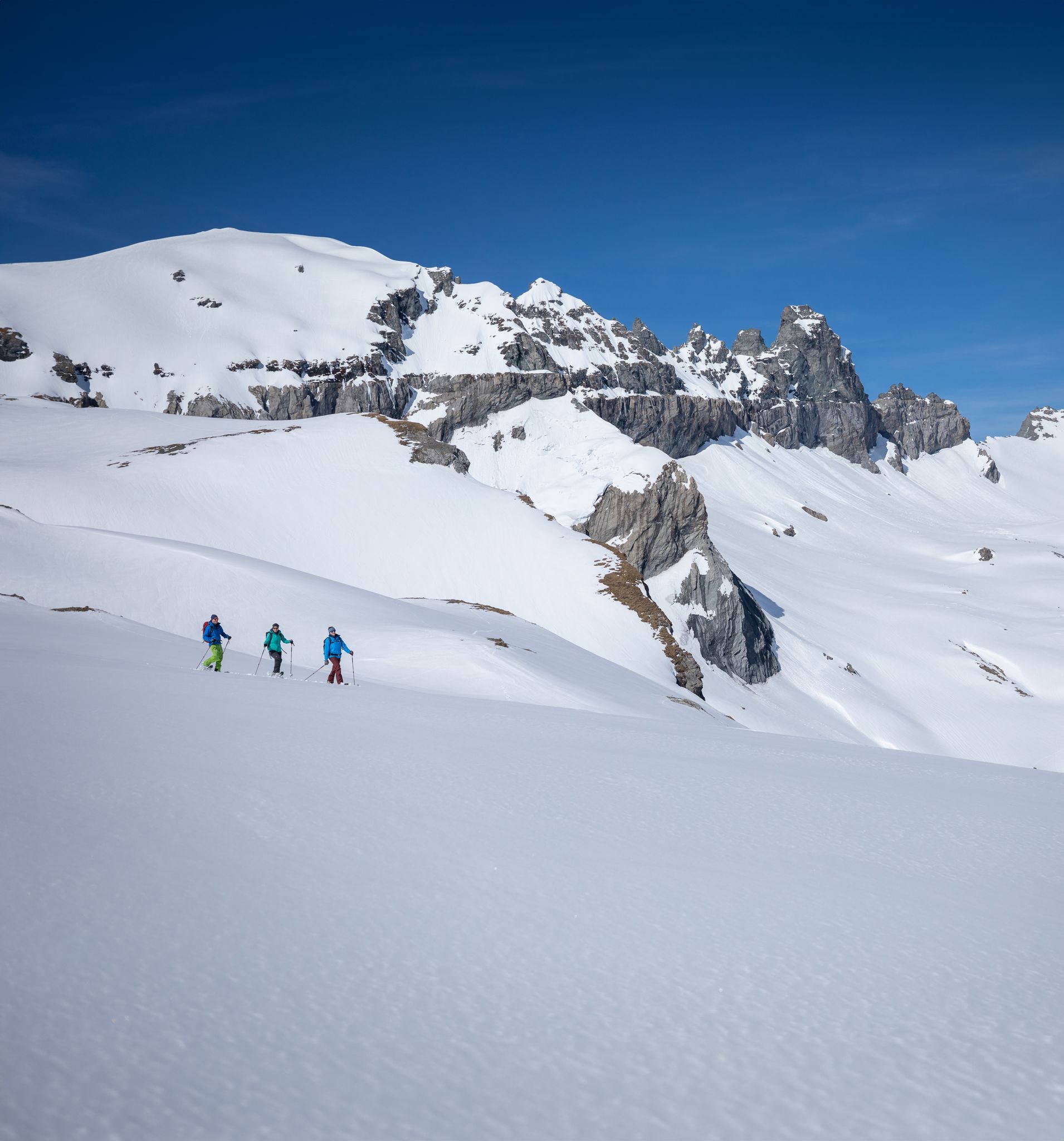
Stomp into winter bliss – snowshoeing in Flims Laax Falera
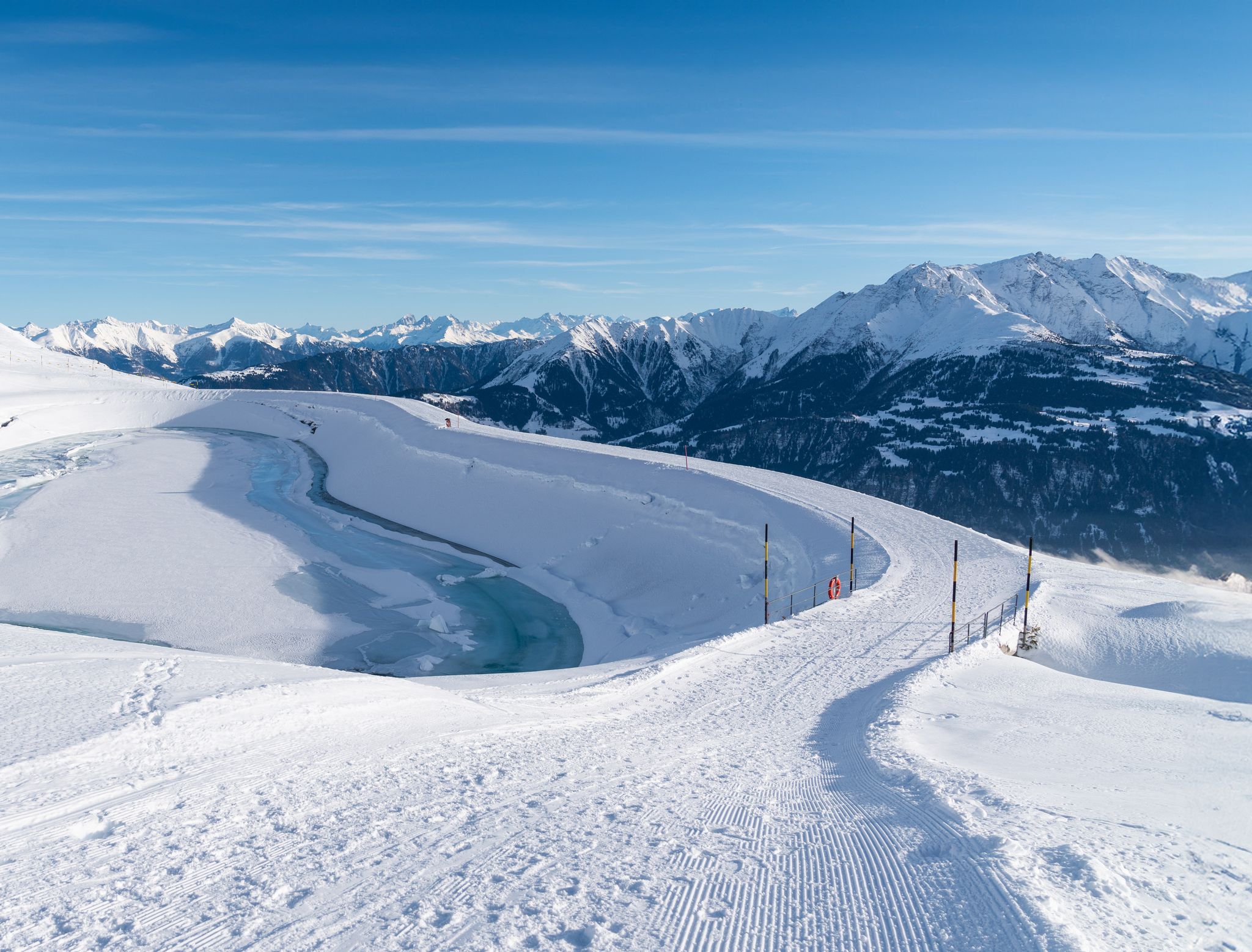
Winter hiking with a view in Flims Laax Falera in Switzerland
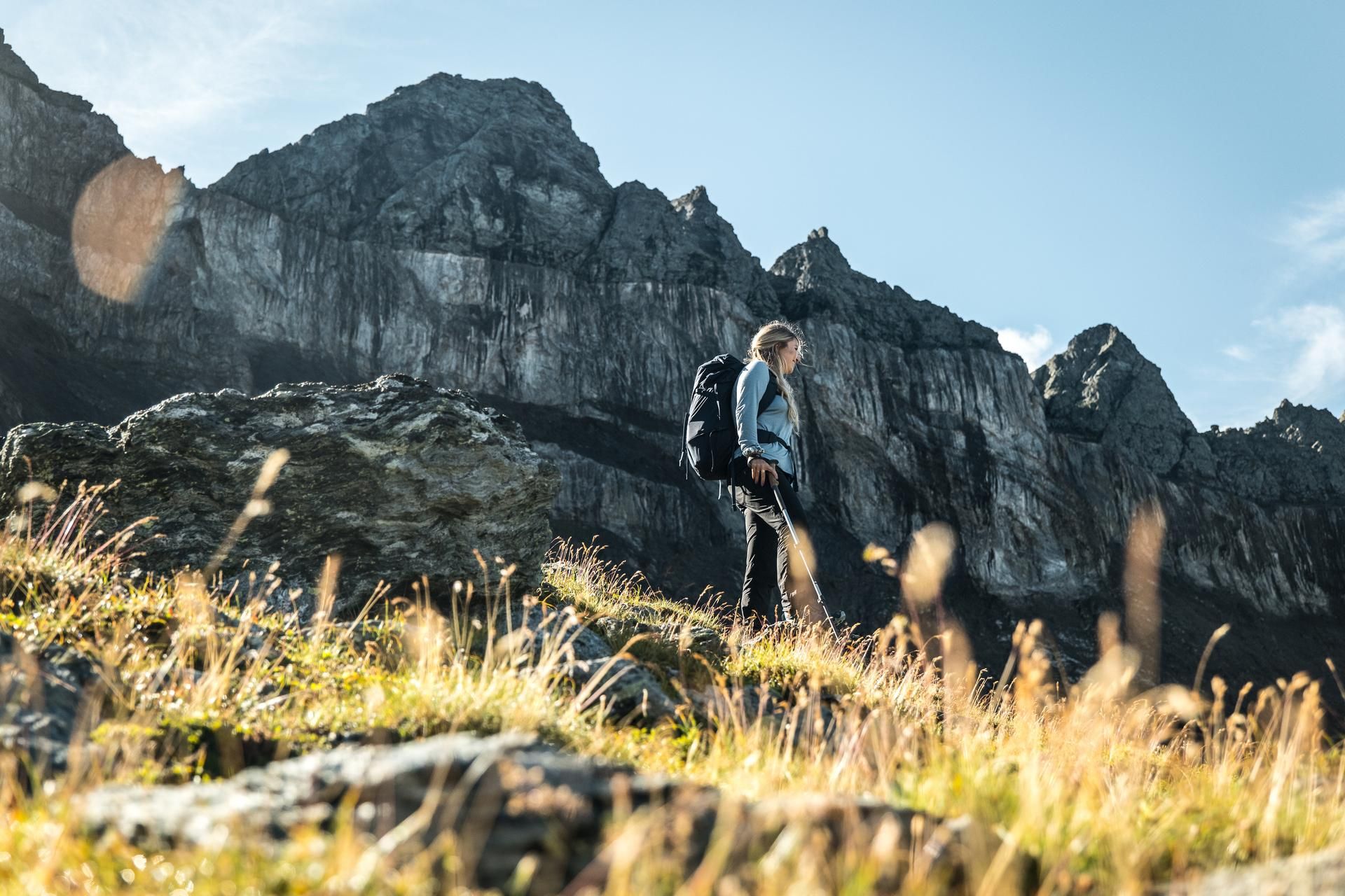
Hiking in the Swiss Tectonic Arena Sardona – Segnes Trek

Blue lakes, wide panoramas & autumnal splendour – hiking in Heidiland
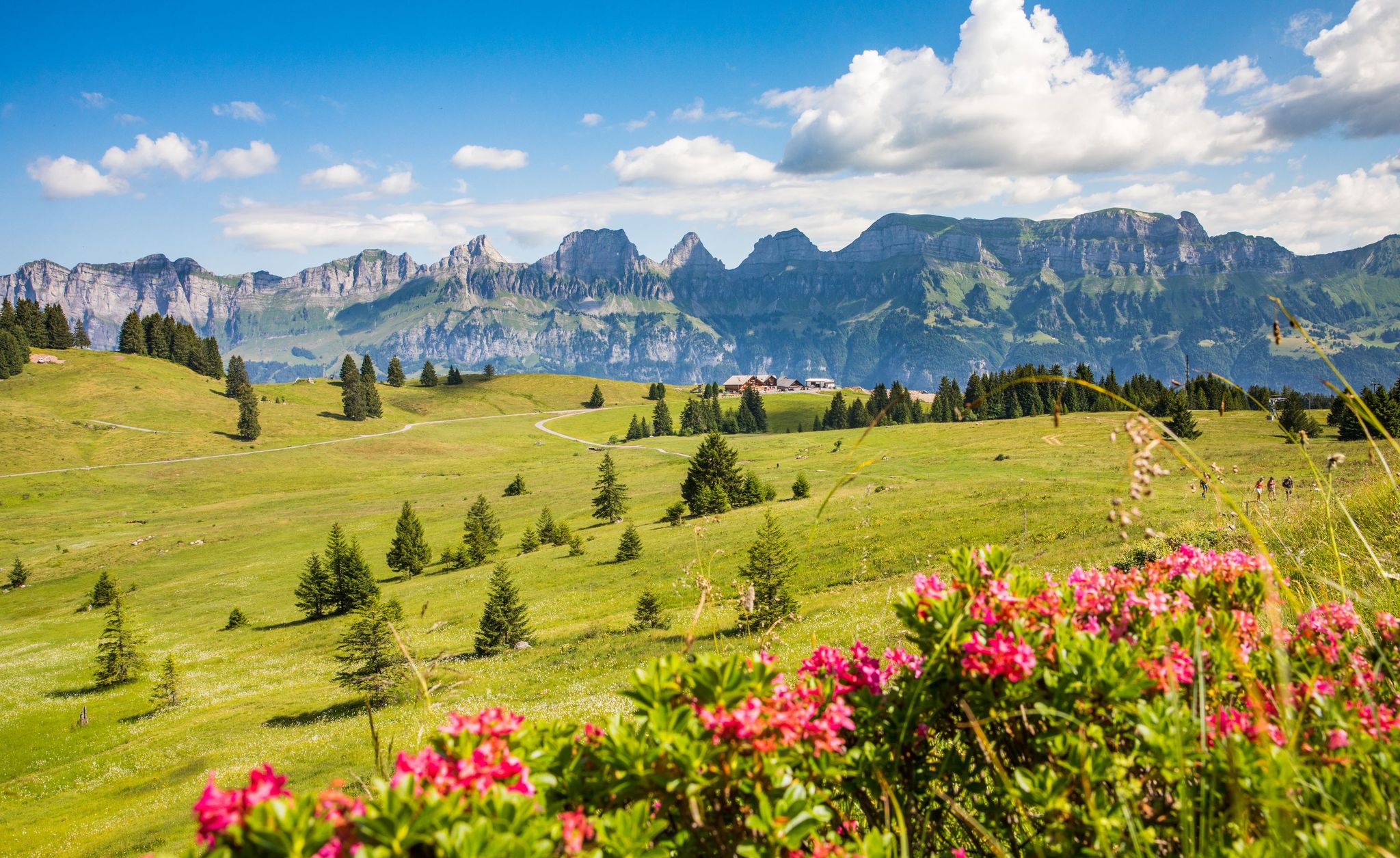
Pure Swiss mountain idyll – hikes in Heidiland
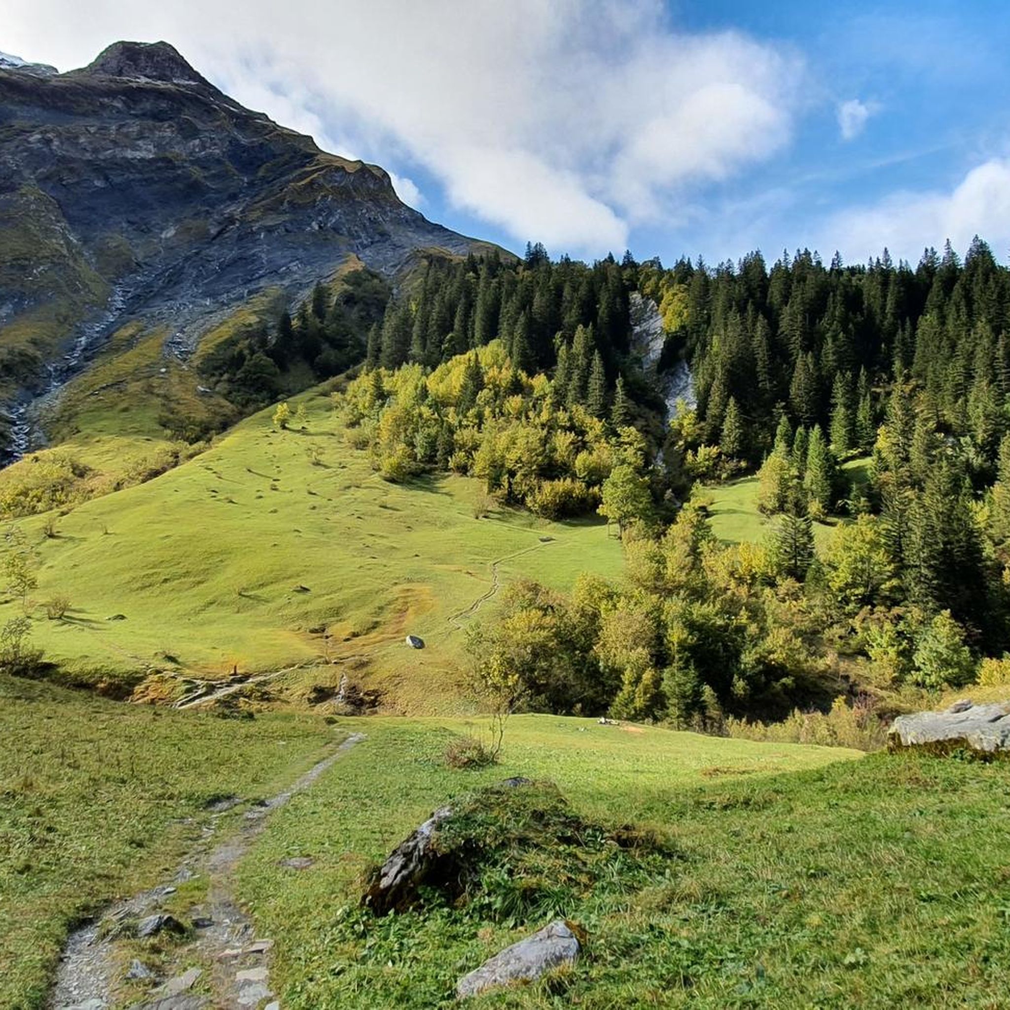
Hiking in Haut Lieu Tectonique Suisse Sardona
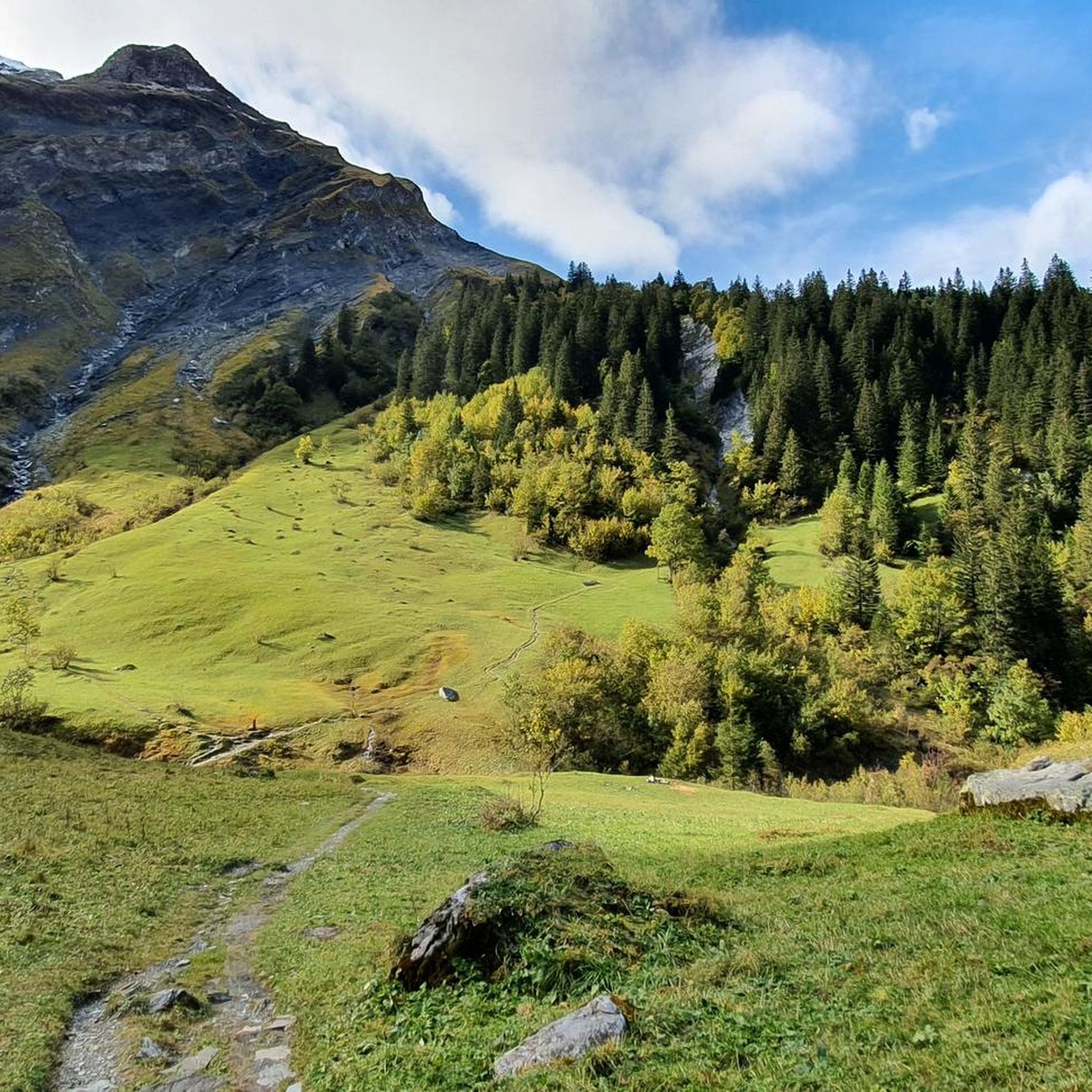
Road Cycling Routes in Haut Lieu Tectonique Suisse Sardona
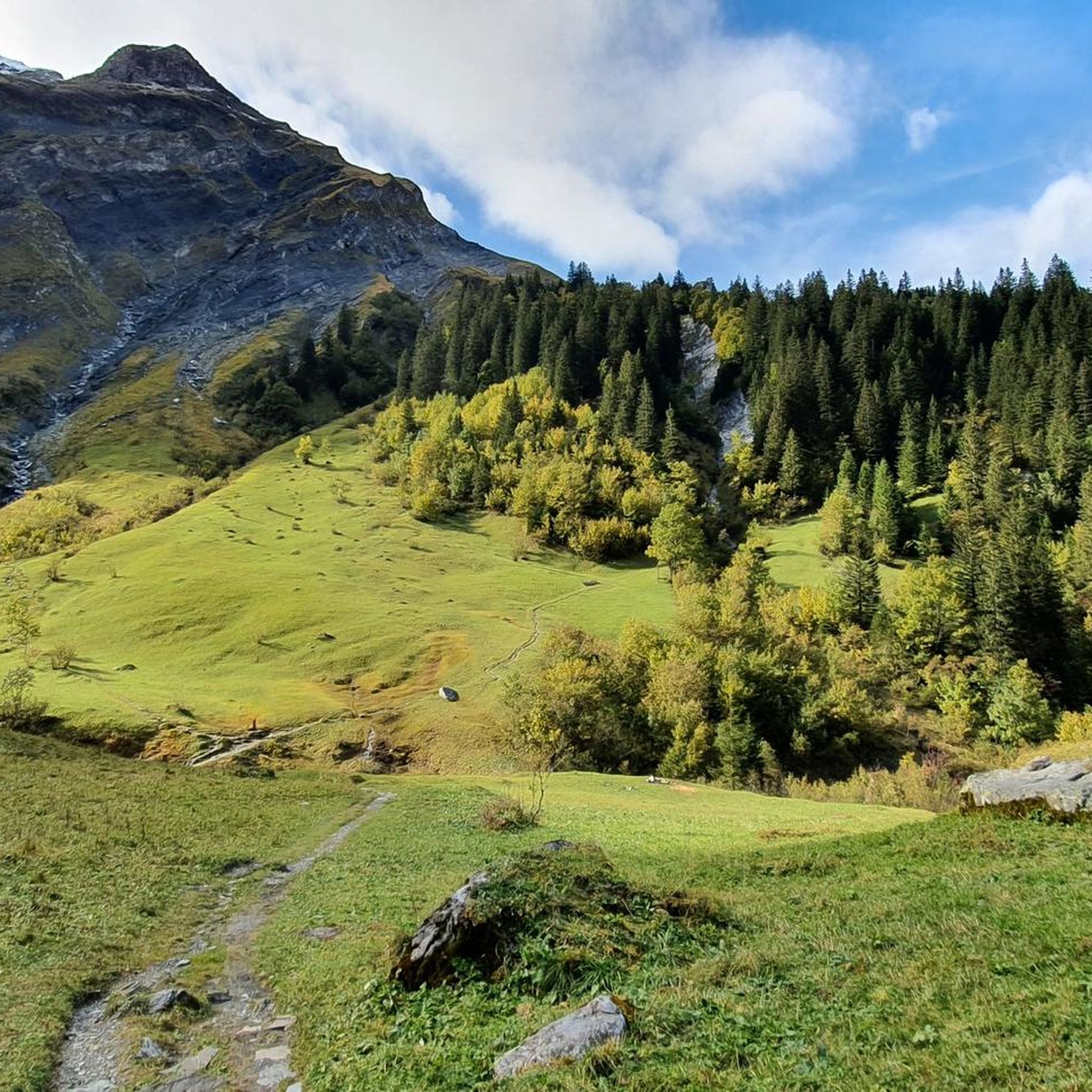
Cycling in Haut Lieu Tectonique Suisse Sardona
Other adventures in Haut Lieu Tectonique Suisse Sardona


Tips from the Community

Coming from Tamins, the ascent is very steep, mostly 15-17%. Easily doable with an MTB or e-bike. With a touring bike or road bike, the fun factor is low due to the gradient, despite beautiful views. The road is technically easy, mostly paved, but some sections are also gravel, which is why narrow tires are also unsuitable. Coming from Vattis, the pass is easier, but steep at the end! Going down to Tamins, very good brakes are recommended, especially if you are riding with luggage.
0
0


There is a WC! and a nice campfire spot
0
0

Traffic-free road from here to Bad Ragaz, great cycling route
0
0

Incredibly beautiful wetland with the Mürtschenbach stream and a noble hut like something out of the movie "Yellowstone"!
0
0
Memorial stone on the side of the road for mountaineers who died in an accident.
0
0
Wonderful landscape, super idyllic!
1
0
Signpost. Connects the hiking trail from Robmen via Maseltuu with the hiking trail through the Mürtschental.
0
0
Frequently Asked Questions
How many mountain bike trails are available in Haut Lieu Tectonique Suisse Sardona?
There are over 520 mountain bike trails in Haut Lieu Tectonique Suisse Sardona. These routes cater to various skill levels, with 46 easy, 210 moderate, and 268 difficult options, ensuring a diverse experience for all riders.
What unique geological features can I expect to see while mountain biking in the region?
The Haut Lieu Tectonique Suisse Sardona is a UNESCO World Heritage site renowned for its dramatic geological formations. You can witness the visible Glarus Thrust, where ancient rocks have been pushed over much younger ones. Other notable features include the jagged peaks of the Tschingelhörner and the famous natural 'window' of Martinsloch.
Are there any routes that pass by impressive waterfalls?
Yes, the region is home to impressive waterfalls, particularly in the Waterfall Arena Batöni. While specific mountain bike routes might not lead directly to all of them, the dramatic landscape ensures many scenic views. During snowmelt, up to five waterfalls plunge into the Lavtina valley, offering a spectacular sight.
Can I find mountain bike routes that include scenic lakes?
Absolutely. The area features picturesque mountain lakes such as Murgsee and Walensee. For example, the Murgsee Mountain Inn – Murgsee-Furggel Pass loop from Bachlaui is a challenging route that leads through mountainous terrain and past the Murgsee. Other beautiful lakes to explore include Wildseeluggen and Upper Murg Lake.
What do other mountain bikers say about the trails in Haut Lieu Tectonique Suisse Sardona?
The mountain bike trails in Haut Lieu Tectonique Suisse Sardona are highly rated by the komoot community, with an average score of 4.6 stars from over 7,000 reviews. Riders often praise the dramatic rock layers, alpine passes, and mountain lakes, as well as the varied terrain that offers both flowing sections and technical challenges.
Are there any family-friendly mountain bike routes in the area?
While many routes in Sardona are moderate to difficult, there are 46 easy mountain bike trails available that are more suitable for families or beginners. These routes typically feature accessible paths and allow for a more relaxed exploration of the stunning alpine scenery.
Are there any circular mountain bike routes available?
Yes, many mountain bike routes in Haut Lieu Tectonique Suisse Sardona are designed as loops, allowing you to start and end at the same point. Examples include the challenging Kunkel Pass – Along the Mapragg reservoir loop from Vättis and the moderate Kunkels Pass – Kunkel Pass loop from Vättis.
What is the best time of year to go mountain biking in Haut Lieu Tectonique Suisse Sardona?
The best time to visit for mountain biking is typically during the warmer months, from late spring to early autumn (May to October), when the trails are clear of snow and the weather is most favorable. This period allows for optimal enjoyment of the alpine passes and high-altitude routes.
Are there any specific mountain passes I can ride through?
The region features several notable mountain passes that offer challenging rides and breathtaking views. You can explore passes like Murgsee-Furggel Pass, Foopass, and Täli Pass. These often involve significant elevation changes and require good fitness.
What kind of terrain can I expect on the more difficult mountain bike trails?
Difficult mountain bike trails in Haut Lieu Tectonique Suisse Sardona, such as the Fronalp Bike Trail, often feature significant elevation gains and descents, technical passages, and rocky sections. Riders should expect demanding terrain that may require advanced riding skills and alpine experience, sometimes even pushing their bikes.
Are there any protected natural areas or unique landscapes to look out for?
Yes, the region includes nationally important protected moorlands like Segnesböden, where streams constantly change course, creating dynamic marshy landscapes. The entire area is a UNESCO World Heritage site, offering pristine natural environments and monumental mountain and valley formations shaped by continental collision.
Is it possible to find routes that offer panoramic views?
The collision of the African and European continents has created monumental mountain and valley formations in the region, resulting in breathtaking panoramic views from many trails. Routes like the Kunkel Pass – Along the Mapragg reservoir loop from Vättis are known for their expansive vistas of the alpine landscape.
Most popular routes in Haut Lieu Tectonique Suisse Sardona
Most popular attractions in Haut Lieu Tectonique Suisse Sardona

Get inspired with the komoot mobile app


Explore more
Browse the best MTB trails in other regions.
