The best hikes from bus stations in Haut Lieu Tectonique Suisse Sardona
4.6
(16584)
113,667
hikers
888
hikes
Bus station hiking trails in Haut Lieu Tectonique Suisse Sardona traverse a UNESCO World Heritage site renowned for its unique geological features, including the Glarus Thrust where ancient rocks overlay younger strata. The terrain is shaped by glaciers, featuring moraines, gravel plains, and dramatic gorges. Hikers encounter diverse landscapes, from pristine streams and alpine lakes like Murgsee to impressive waterfalls and high plateaus offering panoramic views. The region's geology supports a rich variety of flora and fauna, making it a…
Last updated: August 23, 2026
4.6
(301)
1,852
hikers
8.41km
03:13
520m
520m
Moderate hike. Good fitness required. Mostly accessible paths. Sure-footedness required.
4.6
(15)
93
hikers
Hard hike. Very good fitness required. Mostly accessible paths. Sure-footedness required.

Sign up for free
4.1
(17)
65
hikers
11.5km
04:41
840m
840m
Moderate hike. Good fitness required. Mostly accessible paths. Sure-footedness required.
4.3
(6)
37
hikers
15.2km
04:27
420m
420m
Moderate hike. Good fitness required. Easily-accessible paths. Suitable for all skill levels.
4.9
(8)
67
hikers
19.7km
06:01
690m
670m
Hard hike. Very good fitness required. Easily-accessible paths. Suitable for all skill levels.
Get access to more routes and recommendations from other explorers.
Sign up for free
Already have an account?
Our route recommendations are based on thousands of hikes, rides, and runs completed by other people on komoot.
Start today with a free account
Your next adventure awaits.
Login or Signup
Popular around Haut Lieu Tectonique Suisse Sardona

Sardona World Heritage Trail – Where the Alps once formed
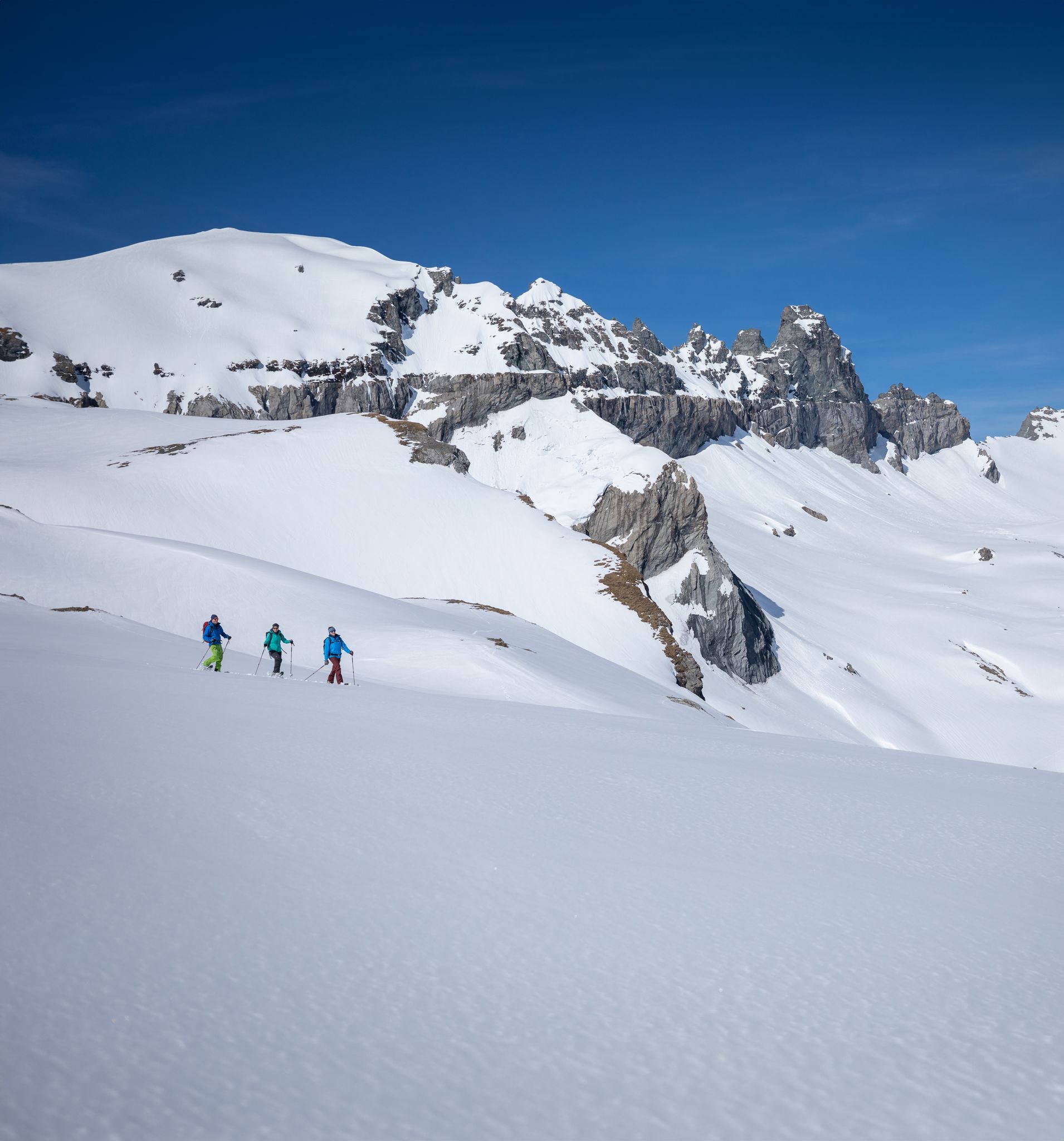
Stomp into winter bliss – snowshoeing in Flims Laax Falera
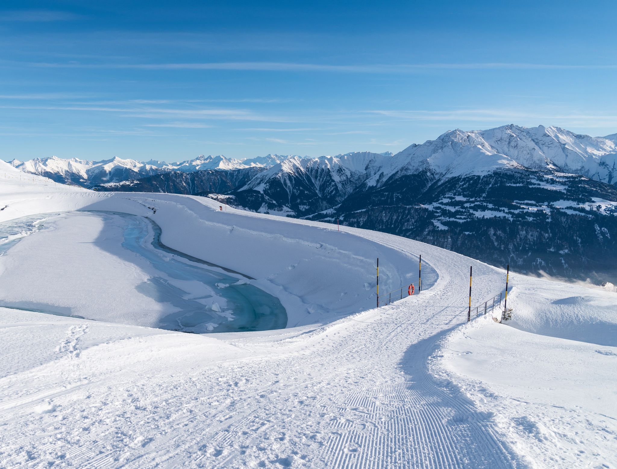
Winter hiking with a view in Flims Laax Falera in Switzerland
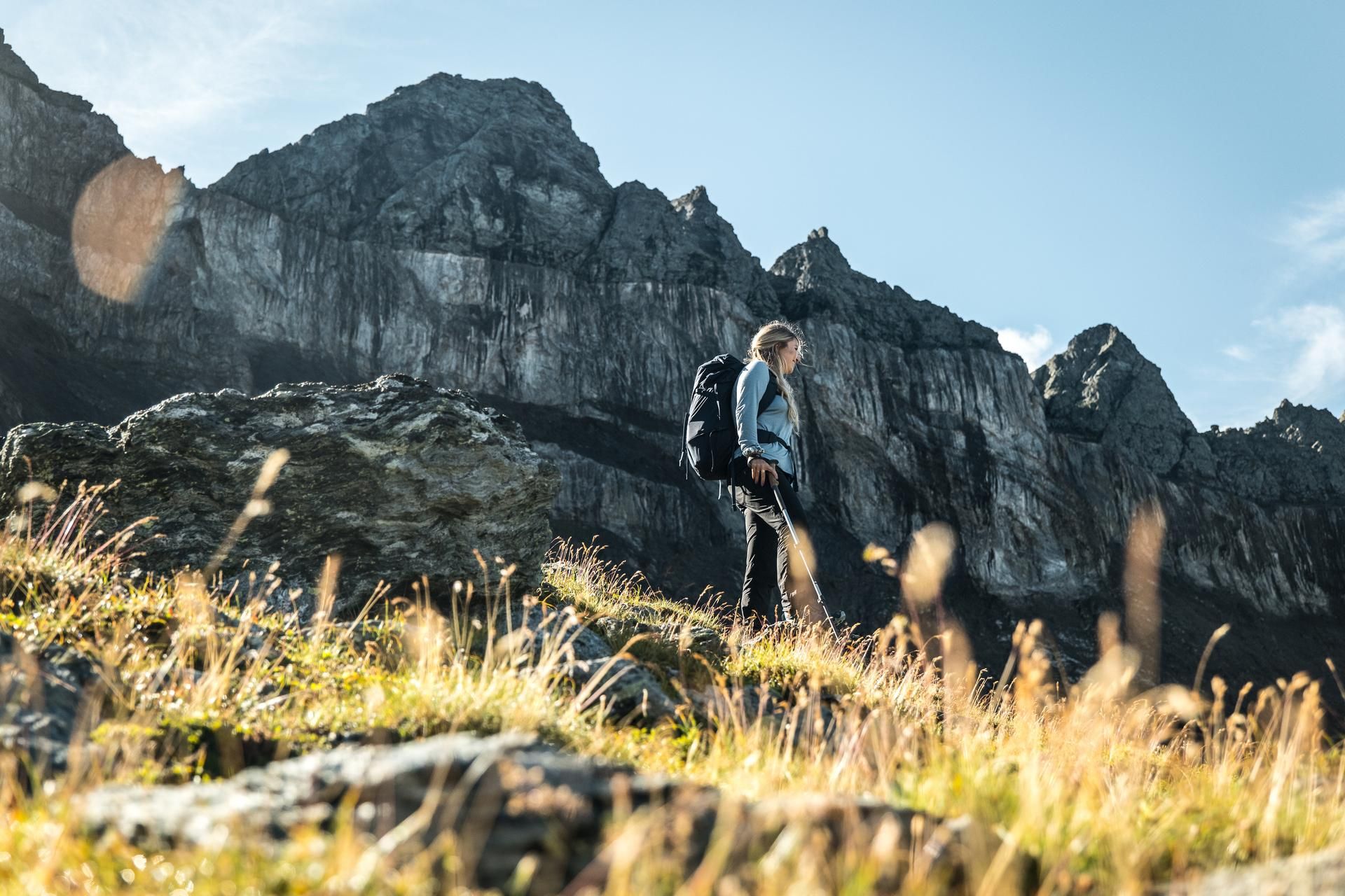
Hiking in the Swiss Tectonic Arena Sardona – Segnes Trek

Blue lakes, wide panoramas & autumnal splendour – hiking in Heidiland
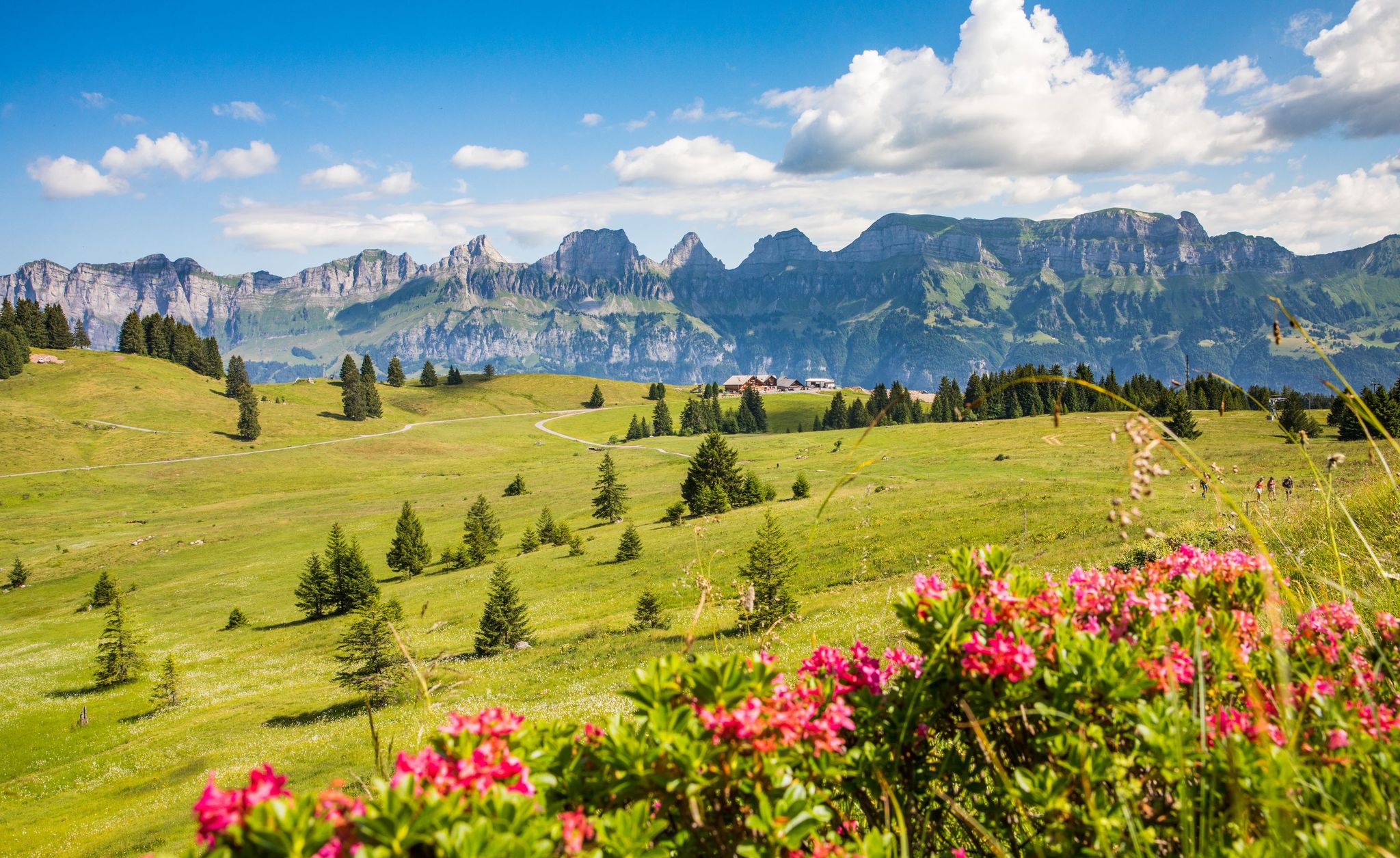
Pure Swiss mountain idyll – hikes in Heidiland

Lake and Alps Adventure – explore 100 dreamy places in our cycling region!
Other adventures in Haut Lieu Tectonique Suisse Sardona


Tips from the Community

The Alprestaurant Siez in the Weisstannental valley offers an authentic alpine experience from mid-May to mid-October. Located directly on the Via Alpina, it is ideal for groups and individual travelers. E-bike charging stations and a large children's playground are available. Source: Alprestaurant Siez - Heidiland Holiday Region https://share.google/G7BU0NxxQosNon2Od
5
0
There are some waterfalls in this area, just great.
4
0
Here you can learn interesting facts about ibexes. Well done.
5
0
Great picnic area with barbecue and seating.
5
0

A place steeped in history with lots of interesting information about the settlement of the Calfeisen and Taminatal by the Walser people.
0
0

Currently you cannot get past these huts as the path is closed (use the lower path).
1
0

If you are in Weisstannen, then this is a must. 😉
0
0
Starting point for great hikes.
7
1
Frequently Asked Questions
How many bus station hiking trails are available in Haut Lieu Tectonique Suisse Sardona?
There are over 900 hiking routes accessible directly from bus stations in the Haut Lieu Tectonique Suisse Sardona region. These trails cater to various fitness levels, with a significant number of easy and moderate options.
What makes hiking in Haut Lieu Tectonique Suisse Sardona unique?
The region is a UNESCO World Heritage site, renowned for the 'Glarus Thrust' or 'magic line,' where ancient rocks were pushed over much younger ones. This unique geological phenomenon is visible throughout the landscape, offering a profound insight into the formation of the Alps. You'll also find diverse terrain shaped by glaciers, impressive waterfalls, and alpine flora.
Are there any bus-accessible hikes that feature waterfalls?
Yes, the region is home to several impressive waterfalls. A notable route is the Batöni waterfall arena in the Weisstannental valley, which offers a moderate hike to a spectacular natural amphitheater of cascading water. The Kathedrale Waterfall is another impressive sight in the region.
Can I find circular hiking routes that start and end at a bus station?
Many routes in the Haut Lieu Tectonique Suisse Sardona are designed as circular walks, making them ideal for public transport users. For example, the Weisstannen village – Alp Siez loop from Weisstannen is a moderate circular hike that allows you to explore the valley and return to your starting point.
What kind of natural landmarks can I expect to see on these trails?
Beyond the geological wonders, you can encounter impressive natural features like the Tschinglenschlucht Gorge, pristine alpine lakes such as the Murgsee and Wildsee, and protected Swiss stone pine forests. The famous Martinsloch, a large hole in the rock face, is also a significant landmark in the area.
Are there any family-friendly bus station hikes in the region?
Yes, there are numerous easy and moderate trails suitable for families. While specific family-focused routes are not listed here, the region's diverse landscapes offer many opportunities for shorter, less strenuous walks that are accessible by bus and enjoyable for all ages. Look for routes with lower elevation gain and shorter distances.
What is the best time of year to go hiking in Haut Lieu Tectonique Suisse Sardona?
The best time for hiking is typically from late spring to early autumn (May to October). During these months, trails are generally free of snow, and the alpine flora is vibrant. Summer offers warmer temperatures, while autumn provides stunning fall colors. Always check local weather and trail conditions before heading out.
Are there any huts or places to eat along the bus-accessible hiking trails?
Yes, the region features several mountain huts and alpine farms where you can stop for refreshments or even overnight stays. Notable options include the Sardona Hut, Murgsee Hut, and Alp Siez, many of which are accessible from hiking routes. These provide opportunities to experience local hospitality and cuisine.
What do other hikers enjoy most about the bus station trails in this region?
The komoot community highly rates the hiking experience in Haut Lieu Tectonique Suisse Sardona, with an average score of 4.65 stars. Reviewers often praise the breathtaking panoramic views, the unique geological insights, and the well-maintained trails that make exploring this UNESCO World Heritage site accessible and rewarding.
Can I bring my dog on the bus-accessible hiking trails?
Generally, dogs are welcome on hiking trails in the Haut Lieu Tectonique Suisse Sardona. However, it's essential to keep them on a leash, especially in nature protection areas, near livestock, or in areas with wildlife. Always check specific trail regulations and public transport rules regarding dogs before your trip.
Are there any challenging bus-accessible hikes for experienced hikers?
Yes, for experienced hikers seeking a challenge, there are difficult routes accessible by bus. The View Above the Tree Line – View of Piz Sardona loop from Stausee Gigerwald is a demanding alpine hike known for its glacier-shaped landscape and significant elevation changes, offering stunning views of Piz Sardona.
Most popular routes in Haut Lieu Tectonique Suisse Sardona
Most popular attractions in Haut Lieu Tectonique Suisse Sardona

Get inspired with the komoot mobile app


Explore more
Browse the best Hikes in other regions.
