Haut Lieu Tectonique Suisse Sardona
Haut Lieu Tectonique Suisse Sardona
The best running trails in Haut Lieu Tectonique Suisse Sardona
4.6
(351)
12,157
runners
571
runs
Jogging in Haut Lieu Tectonique Suisse Sardona offers routes through a UNESCO World Heritage site known for its unique geological formations and diverse landscapes. The region features glaciated mountains, dramatic river valleys, and varied topography, providing a range of terrains for runners. It is characterized by the visible Glarus Overthrust, where older rocks are thrust over younger ones, alongside numerous streams, small lakes, and alpine alluvial plains. This mountainous area includes peaks over 3,000 meters, offering both challenging ascents and…
Last updated: July 9, 2026
11
runners
11.7km
01:46
600m
600m
Hard run. Very good fitness required. Mostly accessible paths. Some sure footedness required.
9
runners
23.0km
04:20
1,380m
1,370m
Hard run. Very good fitness required. Sure-footedness, sturdy shoes and alpine experience required.

Sign up for free
5.0
(1)
6
runners
9.84km
02:17
860m
860m
Hard run. Very good fitness required. Sure-footedness, sturdy shoes and alpine experience required.
5.0
(3)
71
runners
20.8km
04:01
1,390m
1,380m
Hard run. Very good fitness required. Sure-footedness, sturdy shoes and alpine experience required.
5.0
(1)
55
runners
6.77km
00:46
160m
160m
Moderate run. Good fitness required. Mostly paved surfaces. Suitable for all skill levels.
Get access to more routes and recommendations from other explorers.
Sign up for free
Already have an account?
Our route recommendations are based on thousands of hikes, rides, and runs completed by other people on komoot.
Start today with a free account
Your next adventure awaits.
Login or Signup
Popular around Haut Lieu Tectonique Suisse Sardona

Sardona World Heritage Trail – Where the Alps once formed

Lake and Alps Adventure – explore 100 dreamy places in our cycling region!
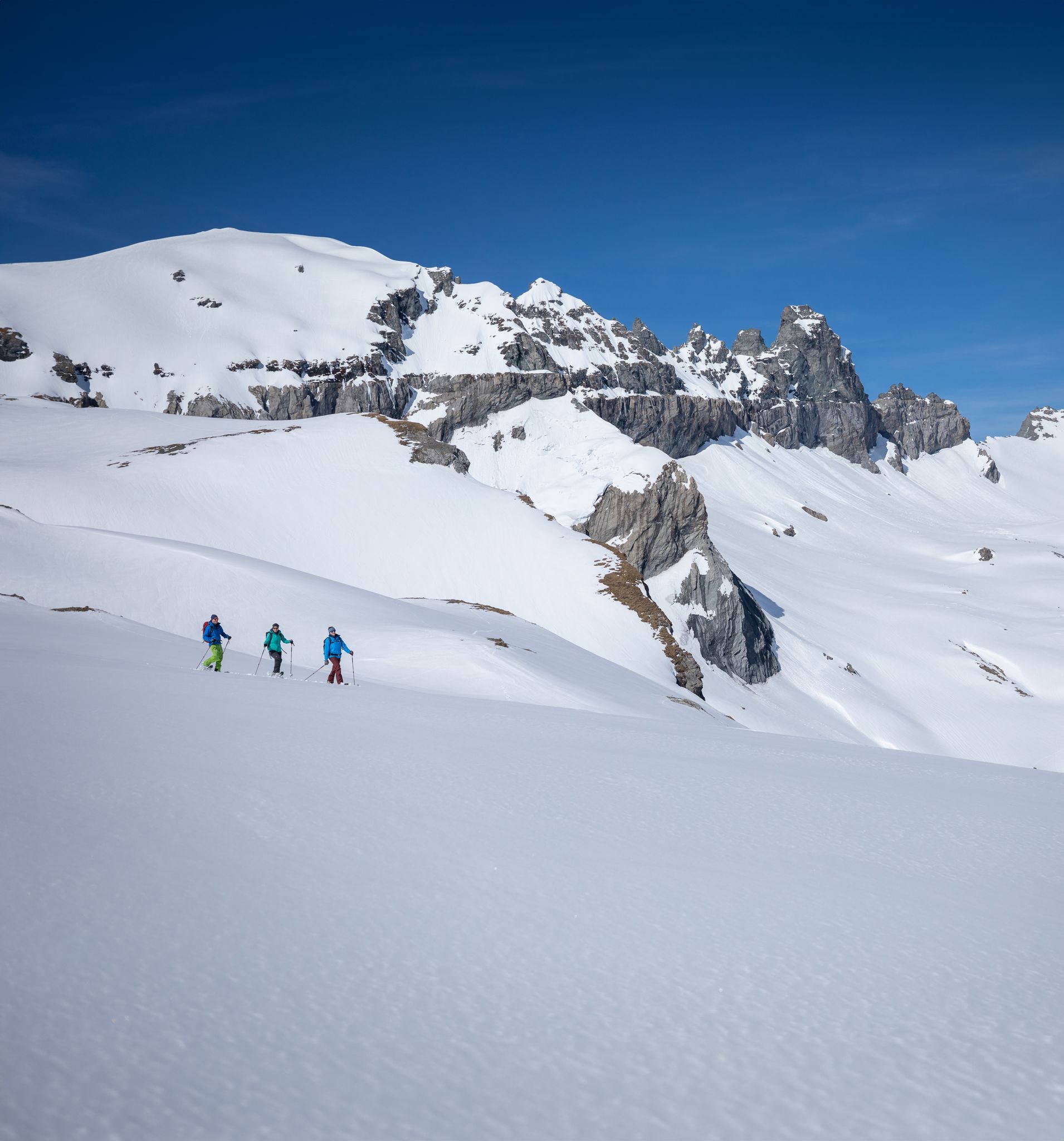
Stomp into winter bliss – snowshoeing in Flims Laax Falera
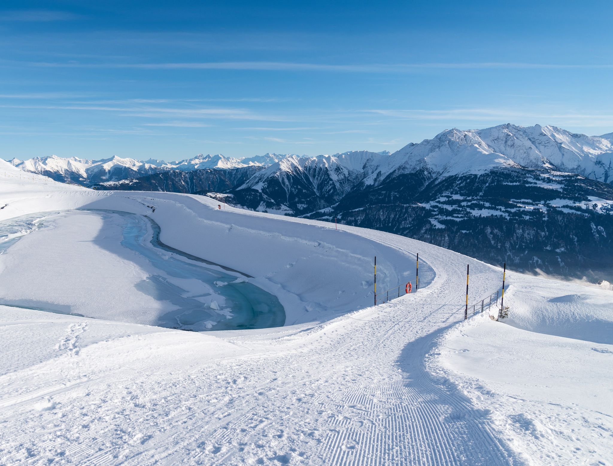
Winter hiking with a view in Flims Laax Falera in Switzerland
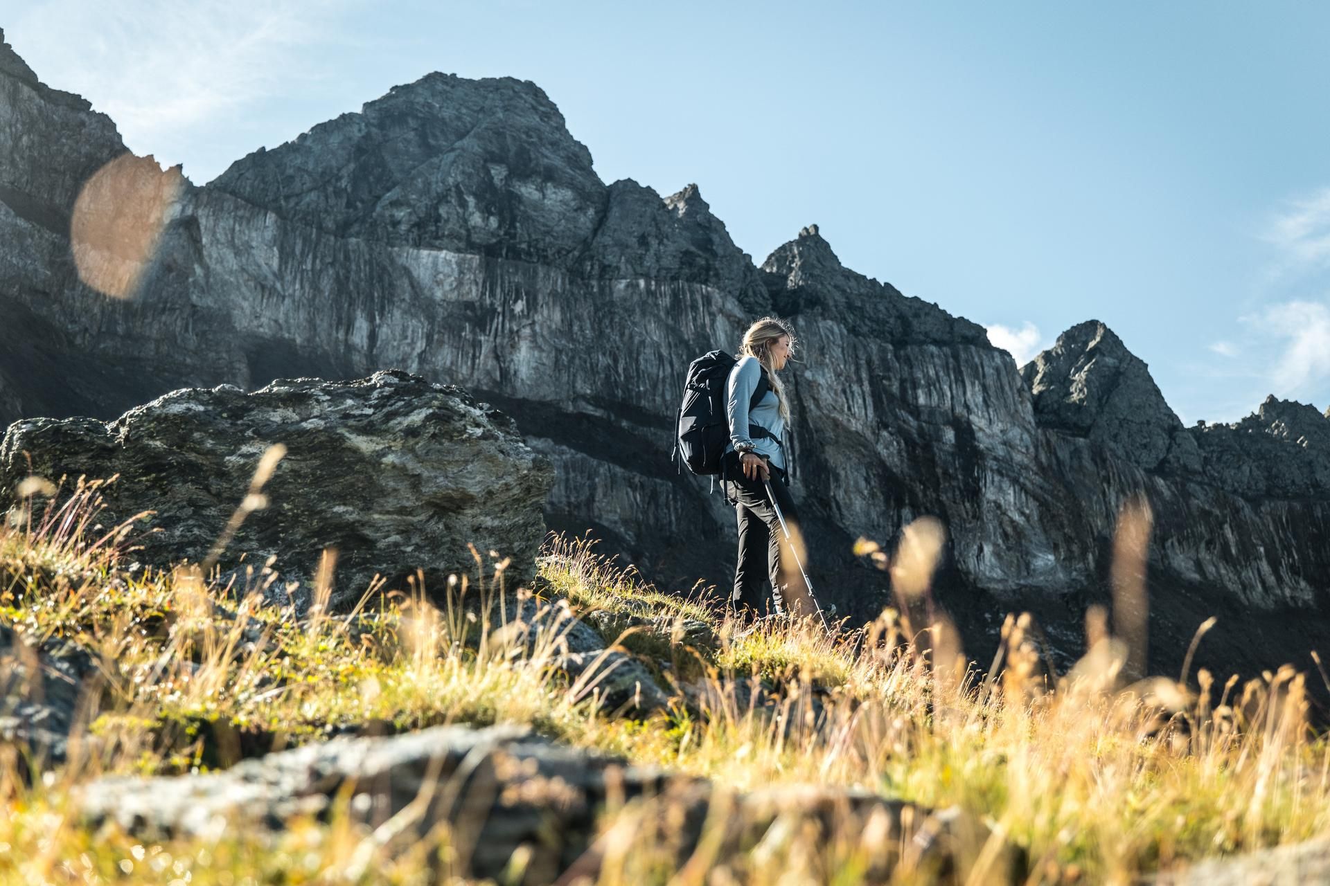
Hiking in the Swiss Tectonic Arena Sardona – Segnes Trek

Blue lakes, wide panoramas & autumnal splendour – hiking in Heidiland
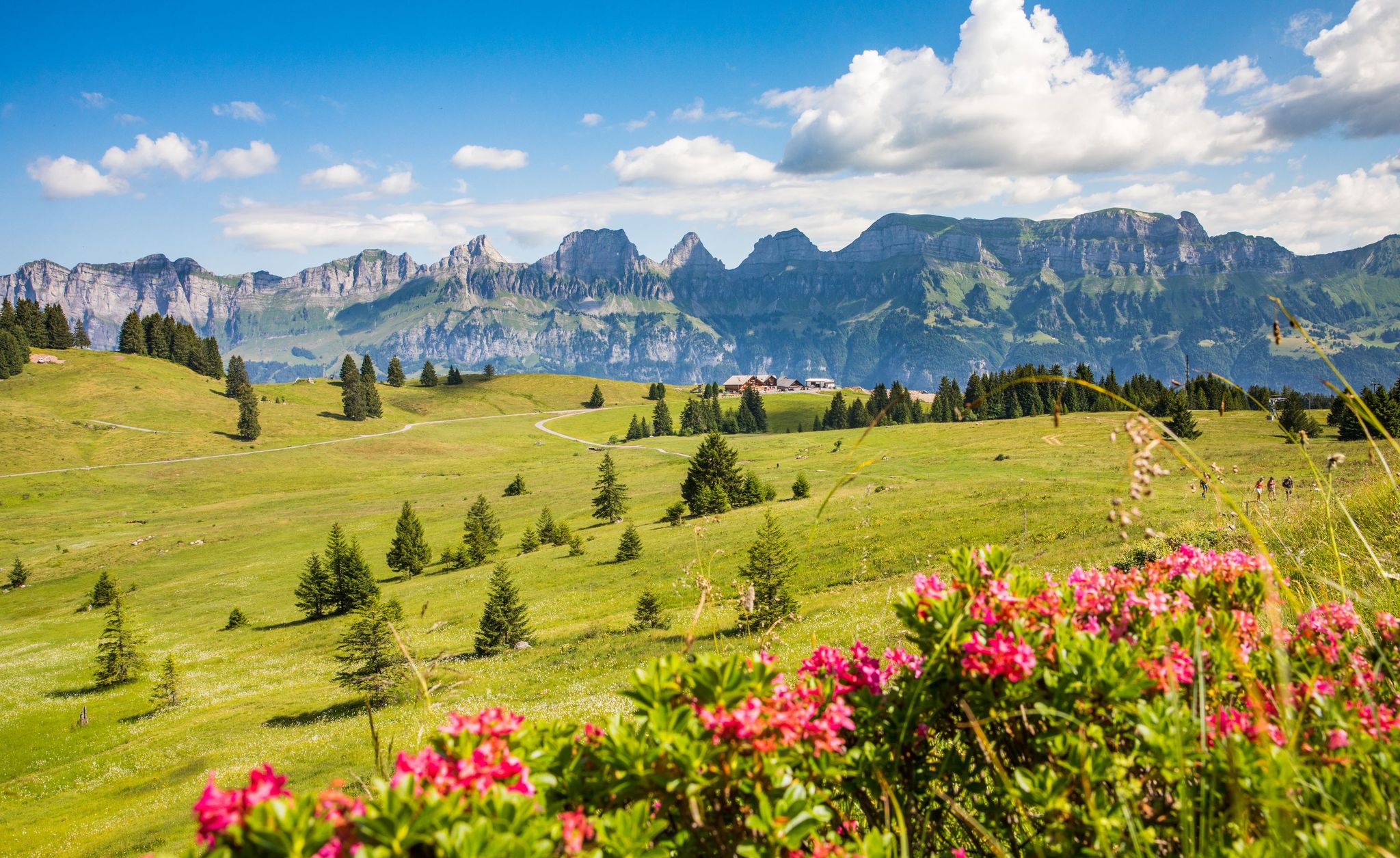
Pure Swiss mountain idyll – hikes in Heidiland
MTB Trails in Haut Lieu Tectonique Suisse Sardona
Hiking in Haut Lieu Tectonique Suisse Sardona
Road Cycling Routes in Haut Lieu Tectonique Suisse Sardona
Other adventures in Haut Lieu Tectonique Suisse Sardona


Tips from the Community

Anyone stopping here had to do something for it. The path from Murg is partly extremely steep.
0
0

Great view of the Pizol summit!
0
0

The first lake on the 5-lake hike is not even signposted from the Pizolhütte, but it is worth a visit.
0
0

Pizolhütte at 2,222 m above sea level. The cozy Pizolhütte is located at 2,222 m above sea level and impresses with its wonderful view of the mountain panorama. The Pizolhütte is located on the high plateau of the Pizol ski and hiking area, on the Pizol Panorama Höhenweg, in the immediate vicinity of the Wangsersee and at the starting point of the famous 5-lake hike. Located directly at the mountain station of the chairlift of the same name, the hut is also the ideal starting point for fast ski runs. The Pizolhütte team will spoil you both inside and outside on the beautiful terrace with food and drink in new and well-known variations. Text / Source: Pizolbahnen AG, Loisstrasse 50, 7310 Bad Ragaz https://pizol.com/gastrobetriebe/pizolhuette/
4
1
Pizolhütte is located at 2,222 m above sea level. The cozy Pizolhütte is located at 2,222 m above sea level and impresses with its wonderful view of the mountain panorama. The Pizolhütte is located on the high plateau of the Pizol ski and hiking area, on the Pizol Panorama Höhenweg, in the immediate vicinity of Wangsersee and at the starting point of the famous 5-lake hike. Located directly at the mountain station of the chairlift of the same name, the hut is also the ideal starting point for fast ski runs. The Pizolhütte team will spoil you both inside and outside on the beautiful terrace with food and drink in new and well-known variations. Text / Source: Heidiland Tourism https://outdoor.heidiland.com/de/gastro/heidiland/bergrestaurant-pizolhuette/55301474/?utm_medium=referral&utm_source=embed&utm_campaign=embed-plugin-referral&utm_term=https%3A%2F%2Fpizol.com%2F
14
0
Wangser See, Pizol First lake on the famous 5-lake hike The Wangser See is the first lake on the famous 5-lake hike and can also be hiked from Laufböden, where it forms part of the 2-lake hike, which is particularly popular with families, together with the lower Vilterser Seeli. The Wangser See is beautifully nestled in a plateau, which always offers hikers spectacular views of the surrounding mountains, both near and far. The Wangser See is also popular with fishermen; licenses are available at the valley stations of the Pizol cable cars. Text / Source: Heidiland Tourism https://outdoor.heidiland.com/de/punkt/see/wangser-see/38022706/?utm_medium=referral&utm_source=embed&utm_campaign=embed-plugin-referral&utm_term=https%3A%2F%2Fpizol.com%2F
14
0
Wangsersee, Pizol at 2205 meters above sea level The Wangsersee is located in the St. Gallen communities of Bad Ragaz and Vilters-Wangs. The small mountain lake is not far from the mountain station of the Pizolbahnen or the Pizolhütte at an altitude of 2205 meters above sea level. The Valaisbach flows down the valley from the Wangsersee. On the shores of the lake you have a magnificent view of the mountains in the Pizol area. The Wangsersee is also the start or end point of the five-lake hike, which also passes the Wildsee, the Schottensee, the Schwarzsee and the Baschalvasee. Text / Source: Schweizersee.ch https://www.schweizersee.ch/wangsersee/
14
0

Frequently Asked Questions
How many running routes are available in Haut Lieu Tectonique Suisse Sardona?
The Haut Lieu Tectonique Suisse Sardona region offers a vast network of over 600 running routes. These trails cater to various fitness levels, from moderate paths to challenging mountain running experiences.
What is the overall difficulty of running trails in the Sardona region?
The running trails in Haut Lieu Tectonique Suisse Sardona present a range of difficulties. While there are approximately 39 easy routes, the majority are either moderate (around 305 routes) or difficult (about 258 routes), often featuring significant elevation changes through alpine terrain.
What unique geological features can I see while jogging in the Sardona Arena?
Jogging in the Sardona Arena offers a unique opportunity to witness the UNESCO World Heritage site's geological wonders. You can observe the striking Glarus Overthrust, often called the 'Magic Line,' where ancient rocks are visibly pushed over younger strata. Iconic formations like the Martinsloch and the jagged Tschingelhörner mountains also provide spectacular focal points during your run.
What natural landscapes and water features will I encounter on a run?
The region boasts diverse natural beauty, including impressive glaciated mountains, dramatic narrow river valleys, and numerous water features. You'll find streams, small lakes like the Gigerwald upper reservoir, mires, and fens. The area is also home to unique alpine alluvial plains such as the Segnesböden, and you might even spot impressive waterfalls, for example, in the Waterfall Arena Batöni.
Are there any easy jogging routes suitable for beginners or casual runners?
Yes, while many routes are challenging, Haut Lieu Tectonique Suisse Sardona does offer paths suitable for varying fitness levels. There are approximately 39 easy routes available. Paths around Segnesboden and some nature trails are described as easily accessible or moderate, making them suitable for those seeking less technical terrain.
What do other runners enjoy most about jogging in Haut Lieu Tectonique Suisse Sardona?
The running routes in Haut Lieu Tectonique Suisse Sardona are highly rated by the komoot community, with an average score of 4.6 stars from over 300 reviews. More than 12,000 runners have explored the varied terrain, often praising the breathtaking panoramic views, the unique geological formations, and the immersive experience within a UNESCO World Heritage site.
Are there any specific landmarks or viewpoints along the running routes?
Yes, several landmarks and viewpoints enhance the running experience. You can pass by stunning mountain passes such as Murgsee-Furggel Pass or Foopass. The region also features beautiful lakes like Wildseeluggen and Schottensee, offering picturesque views during your run.
Can I find circular running routes in Haut Lieu Tectonique Suisse Sardona?
Yes, the region offers several circular running routes. For example, the Rotärd loop from Bachlaui is a 14.3-mile (23.1 km) trail that leads through varied mountain terrain. Another option is the Rotärd loop from Aeugsten, which covers 9.8 miles (9.8 km).
Are there any long-distance running trails or multi-day options?
The Sardona World Heritage Trail (Route 73) is an 84-km multi-day trail specifically utilized by trail and mountain runners. While designed for longer excursions, individual stages of this trail can be adapted for shorter jogs, allowing you to experience the core of the World Heritage site and its various GeoSites.
What are some challenging running routes for experienced runners?
Experienced runners will find plenty of challenging options. The Stone towers at Rossstall – Wildsee loop from Vilters-Wangs is a difficult 8.5-mile (13.7 km) route with significant elevation gain. Another demanding trail is the Viltelser Seeli – Wangsersee loop from Pizolhütte, a 7.3-mile (11.7 km) path traversing a glaciated landscape.
Are there any routes that follow waterways or offer unique water-related scenery?
Absolutely. The Trutg dil Flem Waterway, awarded as one of Switzerland's most beautiful hiking trails, follows the Flem stream through gorges and past bizarre rock formations, offering a unique and scenic running route. The Flims Water Route also leads from the Lower Segnesboden down to Flims, often along the Flem mountain stream through narrow gorge sections and across several bridges.
Is the Pizol 5-Lake Hike suitable for running?
The Pizol 5-Lake Hike is an alpine trail that takes you through a glacier-shaped landscape, past five crystal-clear mountain lakes. While primarily known as a hike, it offers stunning views and can be a challenging yet rewarding experience for trail runners seeking an alpine environment.
Most popular routes in Haut Lieu Tectonique Suisse Sardona
Most popular attractions in Haut Lieu Tectonique Suisse Sardona

Get inspired with the komoot mobile app


Explore more
Browse the best Running Trails & Routes in other regions.
