The best walks and hikes in Haut Lieu Tectonique Suisse Sardona
4.6
(16776)
114,635
hikers
57
hikes
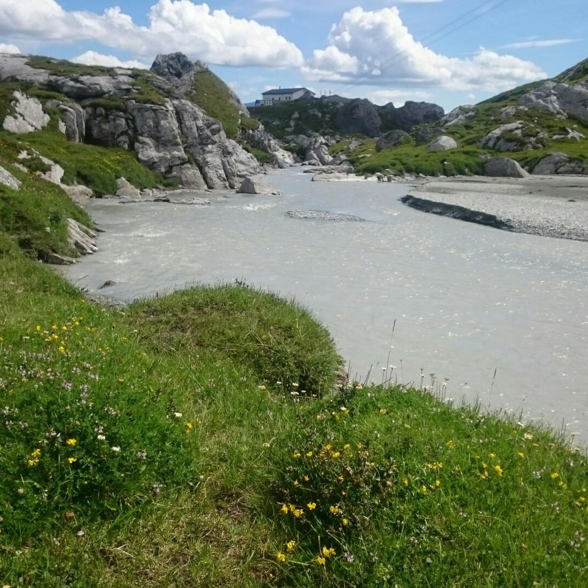
Hiking trails in Haut Lieu Tectonique Suisse Sardona traverse a landscape shaped by the Glarus Thrust, a UNESCO World Heritage site where older rock layers are visibly pushed over younger ones. The region features glaciated mountains, narrow river valleys, and diverse rock formations including limestone, marl, and sandstone. Prominent geological features like the Tschingelhörner mountain range and the Martinsloch rock window are accessible via hiking paths. This area offers a network of trails through alpine terrain, showcasing dynamic natural processes…
Last updated: August 30, 2026
4.8
(94)
676
hikers
9.90km
03:28
550m
550m
Moderate hike. Good fitness required. Mostly accessible paths. Sure-footedness required.
4.9
(397)
2,431
hikers
14.6km
05:58
830m
830m
Hard hike. Very good fitness required. Mostly accessible paths. Sure-footedness required.

Sign up for free
4.5
(6)
82
hikers
6.76km
03:12
270m
750m
Hard hike. Good fitness required. Sure-footedness, sturdy shoes and alpine experience required.
4.6
(33)
159
hikers
11.6km
03:59
450m
450m
Moderate hike. Good fitness required. Mostly accessible paths. Sure-footedness required.
4.6
(15)
93
hikers
Hard hike. Very good fitness required. Mostly accessible paths. Sure-footedness required.
Get access to more routes and recommendations from other explorers.
Sign up for free
Already have an account?
Our route recommendations are based on thousands of hikes, rides, and runs completed by other people on komoot.
Start today with a free account
Your next adventure awaits.
Login or Signup
Popular around Haut Lieu Tectonique Suisse Sardona

Sardona World Heritage Trail – Where the Alps once formed
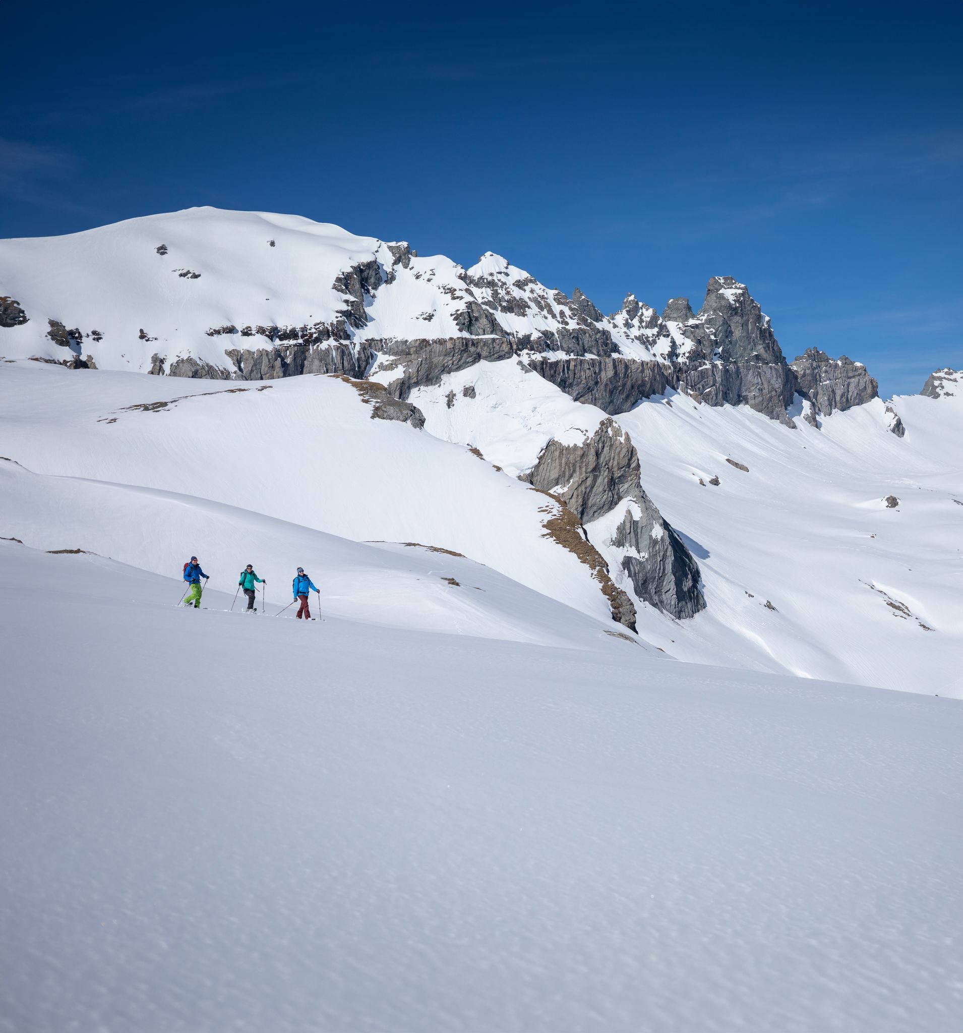
Stomp into winter bliss – snowshoeing in Flims Laax Falera
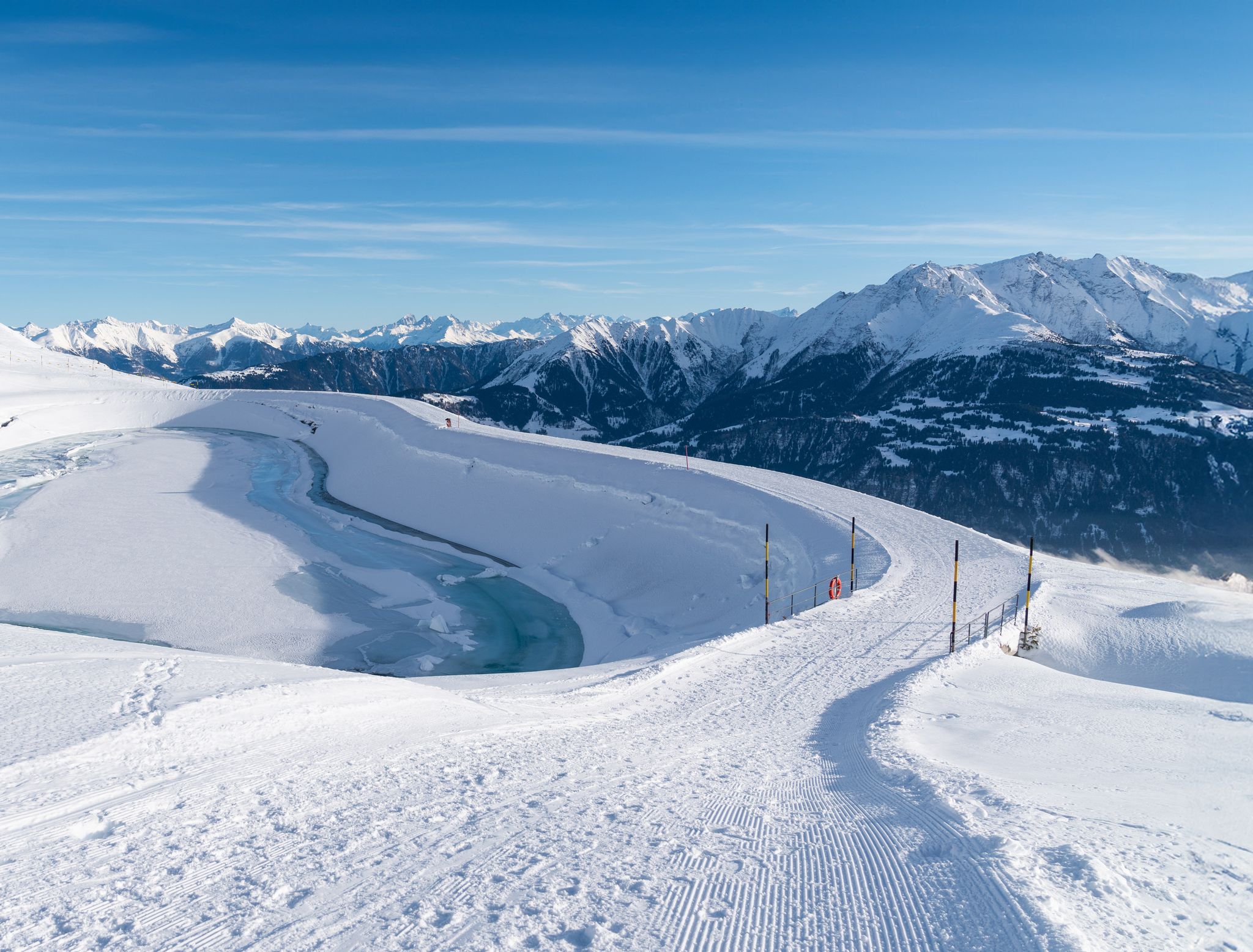
Winter hiking with a view in Flims Laax Falera in Switzerland
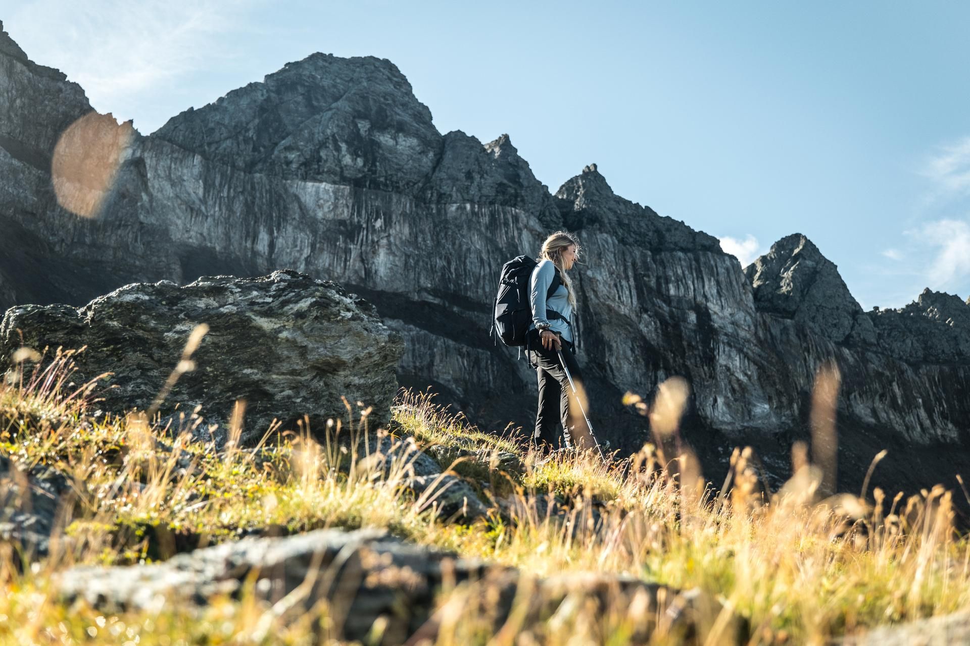
Hiking in the Swiss Tectonic Arena Sardona – Segnes Trek

Blue lakes, wide panoramas & autumnal splendour – hiking in Heidiland
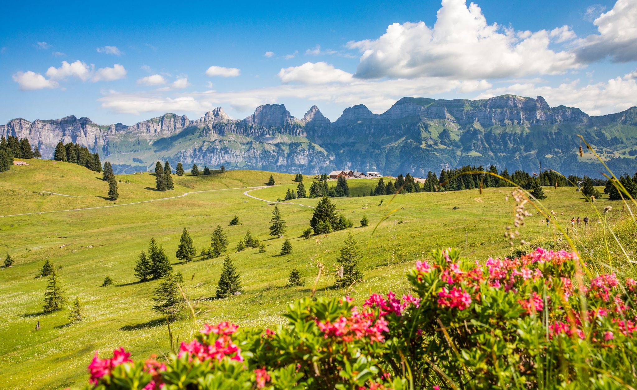
Pure Swiss mountain idyll – hikes in Heidiland

Lake and Alps Adventure – explore 100 dreamy places in our cycling region!
MTB Trails in Haut Lieu Tectonique Suisse Sardona
Road Cycling Routes in Haut Lieu Tectonique Suisse Sardona
Cycling in Haut Lieu Tectonique Suisse Sardona
Other adventures in Haut Lieu Tectonique Suisse Sardona


Tips from the Community

Very beautiful waterfall, at the first bridge after the descent towards Tschinglen Alp, there is a 'Gompe' (a natural pool) that invites you to swim
0
0

Anyone stopping here had to do something for it. The path from Murg is partly extremely steep.
0
0

Beautiful barbecue area with wonderful views of the Sernftal and the Sardona tectonic arena
0
0

A place steeped in history with lots of interesting information about the settlement of the Calfeisen and Taminatal by the Walser people.
0
0


From here onwards you have a great view 😎
7
0
Frequently Asked Questions
What makes hiking in Haut Lieu Tectonique Suisse Sardona unique?
The region is a UNESCO World Heritage site, renowned for the Glarus Thrust, a visible geological phenomenon where older rock layers were pushed over younger ones. This creates a dramatic landscape of glaciated mountains, narrow river valleys, and diverse rock formations, offering a unique blend of geological exploration and alpine hiking.
What are the typical difficulty levels for hikes in this area?
Haut Lieu Tectonique Suisse Sardona offers a range of trails. You'll find options from moderate, like the Murgsee pleasure tour, to more difficult alpine treks such as the Oberer Murgsee Valley – Upper Murg Lake loop from Bachlaui. In total, there are 57 routes, with 4 easy, 17 moderate, and 36 difficult options, ensuring something for various fitness levels.
Are there any family-friendly hiking routes in Haut Lieu Tectonique Suisse Sardona?
Yes, there are several trails suitable for families. While specific 'easy' routes are available, many moderate trails can be adapted for family outings. The region's diverse landscapes and geological features provide engaging points of interest for all ages.
Can I bring my dog on the hiking trails?
Many trails in the Swiss Tectonic Arena Sardona are dog-friendly, allowing you to explore with your canine companion. However, it's always advisable to keep dogs on a leash, especially in nature reserves or near grazing animals, and to check local regulations for specific routes or protected areas.
What geological features or landmarks can I expect to see while hiking?
You can witness the impressive Glarus Thrust firsthand. Notable landmarks include the Tschingelhörner mountain range and the famous Martinsloch, a natural rock window. The area also features diverse rock formations, glaciated mountains, and dynamic landscapes like the Segnesböden plateaus with their changing stream courses.
Are there any waterfalls or gorges to explore?
Yes, the region is rich in water features. You can discover pristine streams and impressive waterfalls, particularly in early summer or after rainfall. The Tschinglenschlucht Gorge and the Kathedrale Waterfall are notable highlights, as well as the Mürtschental Valley and Waterfalls.
What is the best time of year to go hiking in Haut Lieu Tectonique Suisse Sardona?
The best time for hiking is typically from late spring to early autumn (May to October). During this period, trails are generally free of snow, and the weather is more stable. Early summer offers impressive waterfalls and diverse wildflowers, while autumn provides vibrant colors.
Are there options for multi-day hikes or places to stay overnight?
Yes, the region offers opportunities for multi-day treks, including sections of the multi-day Sardona World Heritage Trail. For overnight stays, there are mountain huts available, such as the Sardona Hut, Martinsmadhütte, and Murgsee Hut, providing convenient resting points along longer routes.
How can I access the trailheads, and is parking available?
Many trailheads in Haut Lieu Tectonique Suisse Sardona are accessible by public transport, offering a sustainable way to reach your starting point. Additionally, parking facilities are available at various popular trailheads, though it's always recommended to check specific access points for your chosen route.
What do other hikers say about their experience in Haut Lieu Tectonique Suisse Sardona?
The area is highly rated by the komoot community, with an average score of 4.6 stars from over 2,600 reviews. Hikers often praise the stunning geological formations, the breathtaking alpine vistas, and the well-maintained trails that cater to various skill levels.
Are there any circular hiking routes available?
Yes, the region features several circular walks that allow you to start and end at the same point. Examples include the Murgsee pleasure tour and the Firstboden Loop (Expedition Tschinglen), which offer diverse scenery without retracing your steps.
Where can I learn more about the geological significance of the area?
The Swiss Tectonic Arena Sardona is a UNESCO World Heritage site due to its outstanding geological significance. Information boards, visitor centers, and GeoGuides are available throughout the region to enhance your understanding of the Glarus Thrust and the formation of the Alps. You can also find more information on the UNESCO World Heritage website.
Most popular routes in Haut Lieu Tectonique Suisse Sardona
Most popular attractions in Haut Lieu Tectonique Suisse Sardona

Get inspired with the komoot mobile app


Explore more
Browse the best Hikes in other regions.
