The best waterfall hikes and walks in Haut Lieu Tectonique Suisse Sardona
4.6
(15024)
107,706
hikers
46
hikes
Waterfall hiking trails in Haut Lieu Tectonique Suisse Sardona traverse a UNESCO World Heritage site known for its unique geological formations, including the Glarus Thrust. The region features dramatic alpine landscapes, characterized by glaciers, moraines, gravel plains, and deep gorges. Hikers encounter diverse terrain, from high mountain passes to serene valleys with pristine streams and lakes.
Best waterfall hiking trails in Haut Lieu Tectonique Suisse Sardona
- The most popular waterfall hiking route is Murgsee pleasure tour, a 6.1 miles…
Last updated: July 7, 2026
4.8
(75)
613
hikers
9.90km
03:28
550m
550m
Moderate hike. Good fitness required. Mostly accessible paths. Sure-footedness required.
4.9
(324)
2,206
hikers
14.6km
05:58
830m
830m
Hard hike. Very good fitness required. Mostly accessible paths. Sure-footedness required.

Sign up for free
4.7
(9)
48
hikers
14.5km
06:18
1,000m
1,000m
Hard hike. Very good fitness required. Mostly accessible paths. Sure-footedness required.
5.0
(3)
48
hikers
9.36km
04:09
520m
520m
Moderate hike. Good fitness required. Mostly accessible paths. Sure-footedness required.
4.3
(7)
72
hikers
11.6km
05:01
620m
620m
Hard hike. Very good fitness required. Mostly accessible paths. Sure-footedness required.
Get access to more routes and recommendations from other explorers.
Sign up for free
Already have an account?
Our route recommendations are based on thousands of hikes, rides, and runs completed by other people on komoot.
Start today with a free account
Your next adventure awaits.
Login or Signup
Popular around Haut Lieu Tectonique Suisse Sardona

Sardona World Heritage Trail – Where the Alps once formed
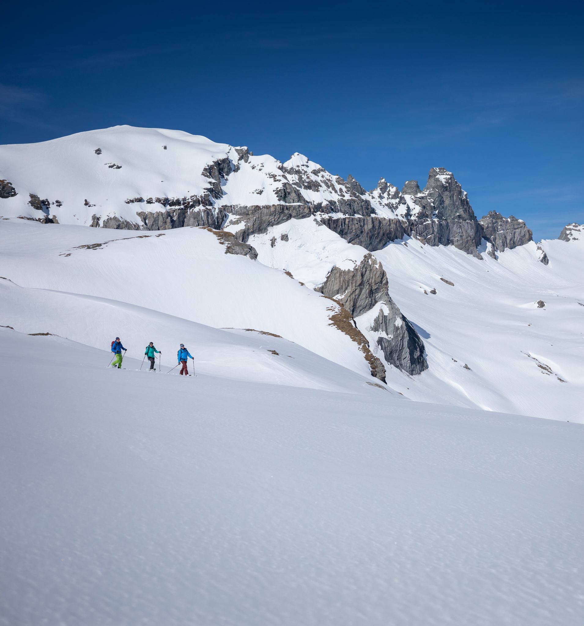
Stomp into winter bliss – snowshoeing in Flims Laax Falera
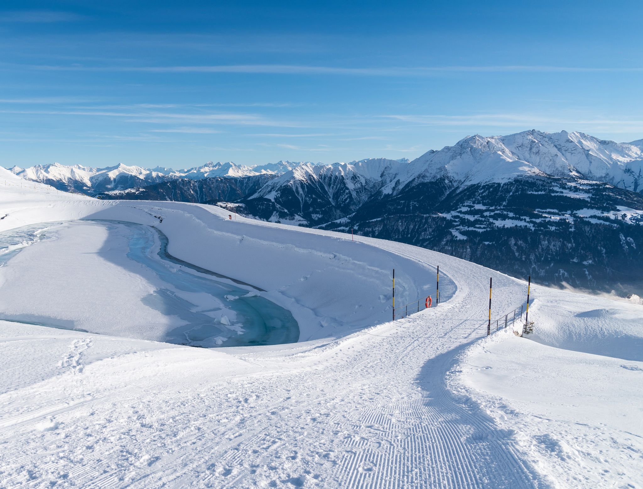
Winter hiking with a view in Flims Laax Falera in Switzerland
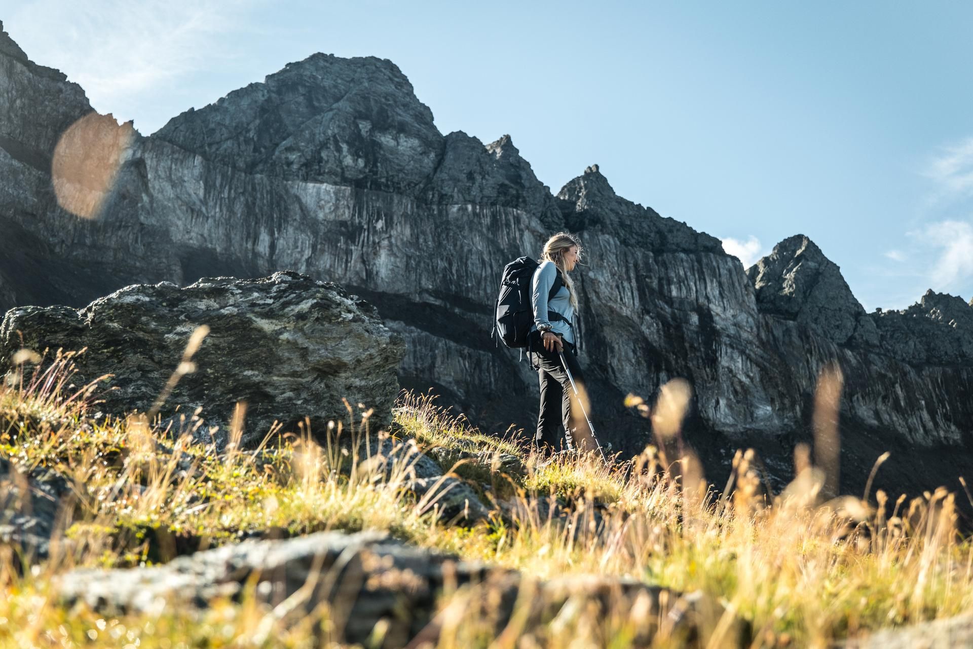
Hiking in the Swiss Tectonic Arena Sardona – Segnes Trek

Blue lakes, wide panoramas & autumnal splendour – hiking in Heidiland
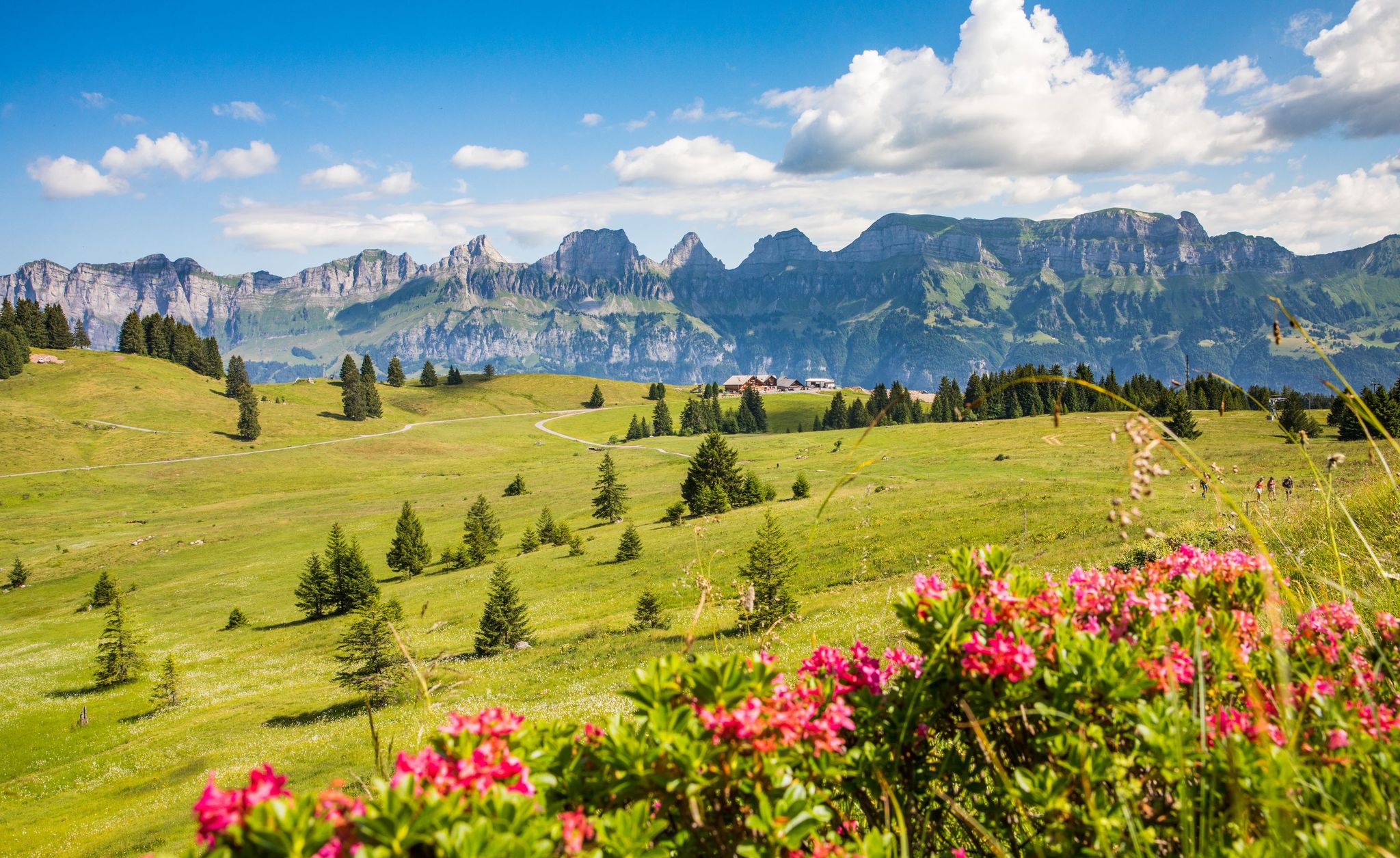
Pure Swiss mountain idyll – hikes in Heidiland

Lake and Alps Adventure – explore 100 dreamy places in our cycling region!
Other adventures in Haut Lieu Tectonique Suisse Sardona


Tips from the Community

Anyone stopping here had to do something for it. The path from Murg is partly extremely steep.
0
0


Here the Gsponbach meanders through a lovely raised moor, lined with several stone pines
0
0
The path mostly leads through a mountain forest and partly over large stones. It is therefore easier to manage on the ascent than on the descent.
1
0


The Murgbach, also called the Murg, is a river about 13 kilometers long
11
0
Frequently Asked Questions
How many waterfall hiking trails are available in Haut Lieu Tectonique Suisse Sardona?
There are over 40 distinct waterfall hiking trails in Haut Lieu Tectonique Suisse Sardona, offering a wide range of experiences. These include 12 easy routes, 20 moderate routes, and 12 difficult routes, catering to various fitness levels and preferences.
What makes waterfall hikes in Haut Lieu Tectonique Suisse Sardona unique?
The waterfall hikes in Haut Lieu Tectonique Suisse Sardona are unique due to the region's status as a UNESCO World Heritage site, showcasing the dramatic 'Glarus Thrust' where ancient rocks were pushed over younger ones. This geological phenomenon creates stunning alpine landscapes with glaciers, moraines, and deep gorges, providing a breathtaking backdrop to the impressive waterfalls like the Batöni waterfall arena in the Weisstannen valley.
What do other hikers say about the waterfall trails in Haut Lieu Tectonique Suisse Sardona?
The trails in Haut Lieu Tectonique Suisse Sardona are highly regarded by the komoot community, holding an average rating of 4.6 stars from over 2,600 reviews. Hikers frequently praise the unique geological formations, the diverse alpine flora, and the impressive waterfalls and lakes that define the region's natural beauty.
Are there family-friendly waterfall hikes in the region?
Yes, there are several family-friendly options. For instance, the Murgsee pleasure tour is a moderate 9.9 km trail that explores the area around the Murg Lakes, offering beautiful views suitable for families. The region also features well-maintained paths in areas like Segnesboden, which are ideal for leisurely strolls.
Can I bring my dog on waterfall hiking trails in Haut Lieu Tectonique Suisse Sardona?
Many trails in Haut Lieu Tectonique Suisse Sardona are dog-friendly, but it's always recommended to check specific route details for any restrictions or requirements, such as leash laws. Ensure your dog is accustomed to alpine terrain and that you carry enough water for both of you.
Are there circular waterfall walks available?
Yes, circular routes are a popular way to experience the waterfalls. An example is the Murgbach Waterfall – Middle Murgsee loop from Mornen, a challenging 14.5 km trail that directly features the Murgbach Waterfall and offers a complete loop experience through the Murgbach Valley.
What geological features can I expect to see on these trails?
Hiking in this UNESCO World Heritage site offers a unique opportunity to witness the 'Glarus Thrust,' a visible geological phenomenon where older rocks were pushed over younger ones. You can also encounter impressive features like the Martinsloch, a natural hole in the rock face, and the dramatic Tschingelhörner mountain range, alongside glaciers, moraines, and gorges that shaped the landscape.
What other natural attractions can I explore near the waterfall trails?
Beyond the waterfalls, the region is rich in natural beauty. You can explore stunning lakes such as Upper Murg Lake, Talalpsee, and Schwarzsee (Pizol). The area also boasts diverse alpine flora, with themed trails like the Sardona Mountain Flower Trail providing insights into the local plant life.
Is public transport available to access the waterfall hiking trails?
Public transport options are available to various starting points for hikes within the Haut Lieu Tectonique Suisse Sardona region. It's advisable to check local bus and train schedules in advance, especially for routes leading into more remote valleys or higher alpine areas.
When is the best time to go waterfall hiking in Haut Lieu Tectonique Suisse Sardona?
The best time for waterfall hiking is typically from late spring to early autumn (May to October). During this period, snow has usually melted from lower and mid-altitude trails, and the waterfalls are often at their most powerful due to snowmelt. Always check current weather and trail conditions before heading out.
Are there challenging waterfall hikes for experienced hikers?
Absolutely. For experienced hikers seeking a challenge, routes like the Oberer Murgsee Valley – Upper Murg Lake loop from Bachlaui offer a difficult 14.6 km path through a glacier-shaped landscape, requiring good fitness and sure-footedness. Some alpine routes in the region may even feature rope-secured passes and steep scree slopes.
Are there opportunities for wild swimming near the waterfalls?
While the region features pristine streams and lakes, wild swimming near waterfalls can be dangerous due to strong currents and cold temperatures. It's generally not recommended directly at the base of large waterfalls. However, some calmer alpine lakes, such as the Murg Lakes, might offer suitable spots for a refreshing dip, always with caution and respect for nature.
Most popular routes in Haut Lieu Tectonique Suisse Sardona
Most popular attractions in Haut Lieu Tectonique Suisse Sardona

Get inspired with the komoot mobile app


Explore more
Browse the best Hikes in other regions.
