Haut Lieu Tectonique Suisse Sardona
Haut Lieu Tectonique Suisse Sardona
The best mountain hikes in Haut Lieu Tectonique Suisse Sardona
4.8
(126)
1,089
hikers
55
hikes
Mountaineering routes in Haut Lieu Tectonique Suisse Sardona traverse a UNESCO World Heritage site, characterized by its unique geological formations and dramatic alpine landscapes. The region features seven peaks exceeding 3,000 meters, offering challenging ascents within the Glarus Alps. Key geological features include the visible Glarus Overthrust, where older rocks are thrust over younger ones, and glaciated mountains. This area provides a rugged environment for high-alpine mountaineering.
Best mountaineering routes in Haut Lieu Tectonique Suisse Sardona
- The most popular mountaineering…
Last updated: August 30, 2026
5.0
(4)
61
hikers
14.5km
05:57
830m
820m
Hard mountaineering route. Very good fitness required. Mostly accessible paths. Sure-footedness required.
5.0
(3)
31
hikers
11.3km
05:39
710m
710m
Hard mountaineering route. Very good fitness required. Sure-footedness, sturdy shoes and alpine experience required.

Sign up for free
4.5
(4)
26
hikers
13.0km
06:38
960m
960m
Hard mountaineering route. Very good fitness required. Sure-footedness, sturdy shoes and alpine experience required.
5.0
(1)
8
hikers
16.9km
07:10
1,100m
1,090m
Hard mountaineering route. Very good fitness required. Mostly accessible paths. Sure-footedness required.
4.0
(1)
3
hikers
9.71km
05:14
860m
860m
Hard mountaineering route. Very good fitness required. Mostly accessible paths. Sure-footedness required.
Get access to more routes and recommendations from other explorers.
Sign up for free
Already have an account?
Our route recommendations are based on thousands of hikes, rides, and runs completed by other people on komoot.
Start today with a free account
Your next adventure awaits.
Login or Signup
Popular around Haut Lieu Tectonique Suisse Sardona

Sardona World Heritage Trail – Where the Alps once formed

Lake and Alps Adventure – explore 100 dreamy places in our cycling region!
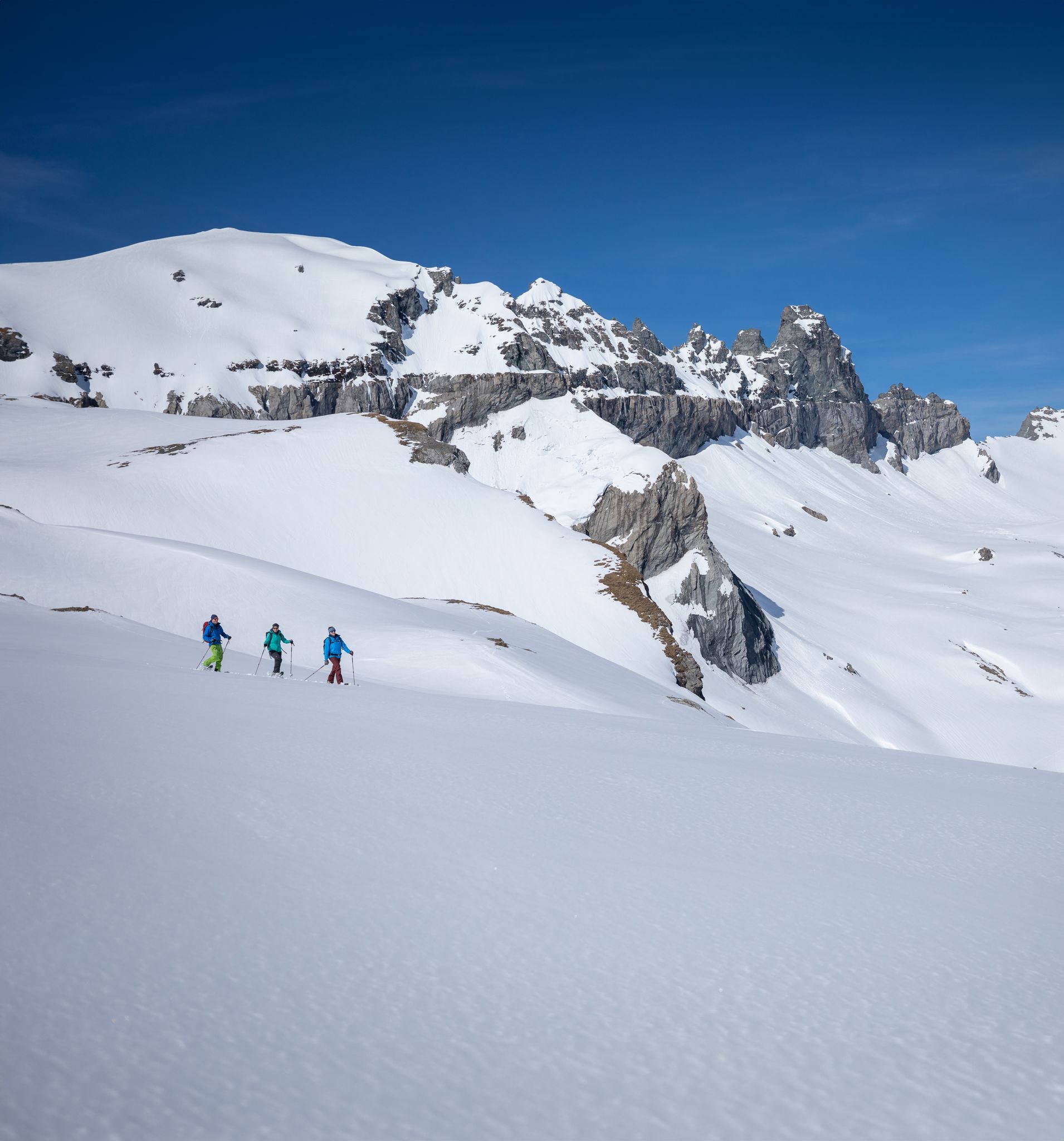
Stomp into winter bliss – snowshoeing in Flims Laax Falera
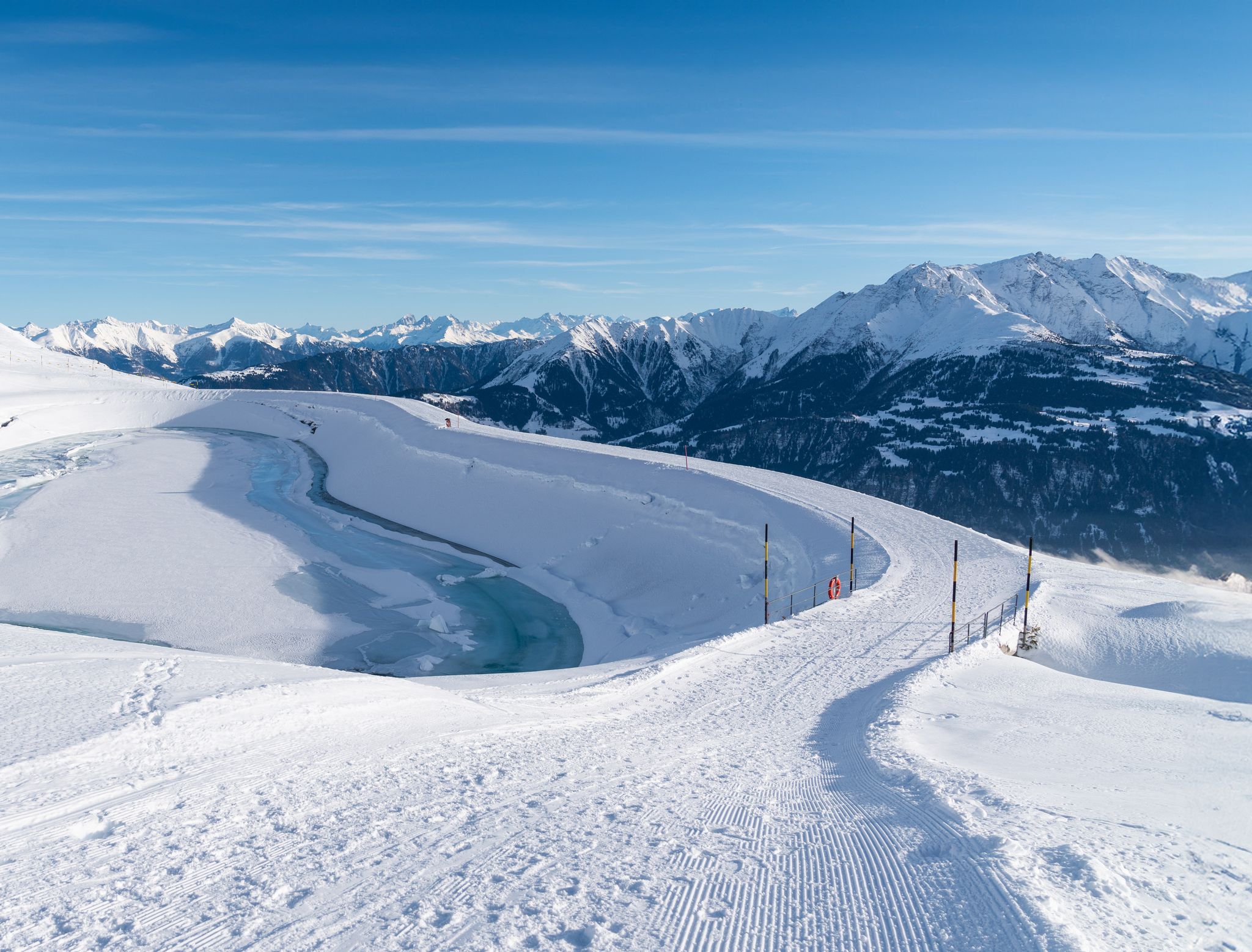
Winter hiking with a view in Flims Laax Falera in Switzerland
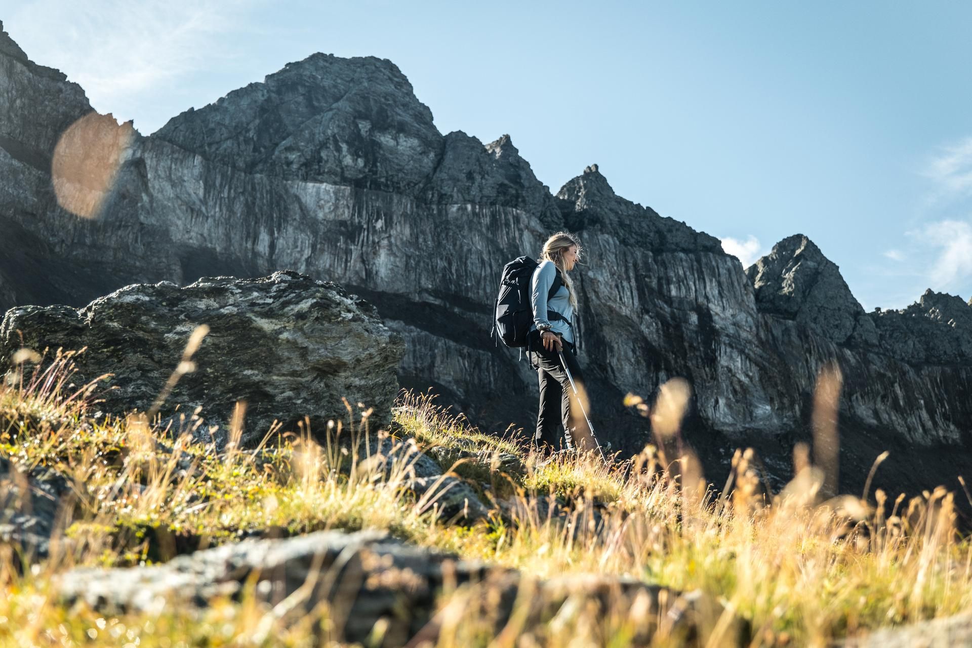
Hiking in the Swiss Tectonic Arena Sardona – Segnes Trek

Blue lakes, wide panoramas & autumnal splendour – hiking in Heidiland
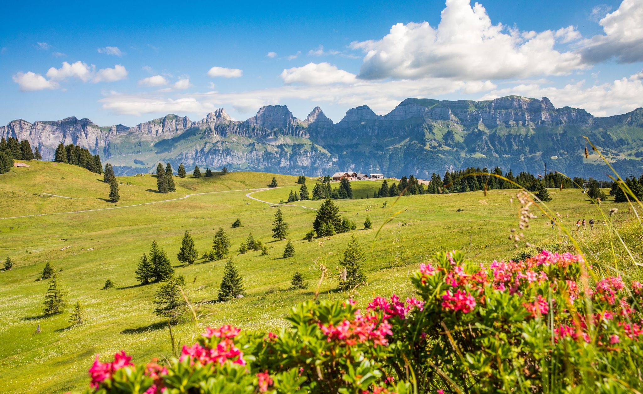
Pure Swiss mountain idyll – hikes in Heidiland
MTB Trails in Haut Lieu Tectonique Suisse Sardona
Hiking in Haut Lieu Tectonique Suisse Sardona
Road Cycling Routes in Haut Lieu Tectonique Suisse Sardona
Other adventures in Haut Lieu Tectonique Suisse Sardona


Tips from the Community

Very beautiful view and invites you to linger. The landscapes are incredible.
0
0

Anyone stopping here had to do something for it. The path from Murg is partly extremely steep.
0
0

beautiful landscape here, simply unique
0
0
beautiful landscape here, simply unique
0
0

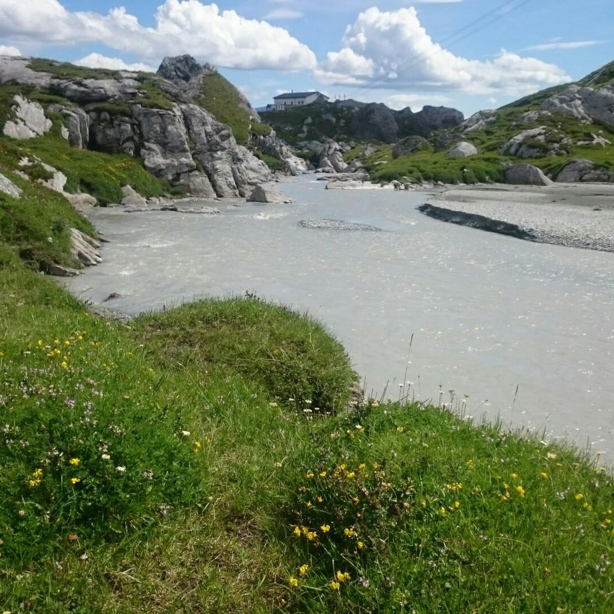
Pizolhütte at 2,222 m above sea level. The cozy Pizolhütte is located at 2,222 m above sea level and impresses with its wonderful view of the mountain panorama. The Pizolhütte is located on the high plateau of the Pizol ski and hiking area, on the Pizol Panorama Höhenweg, in the immediate vicinity of the Wangsersee and at the starting point of the famous 5-lake hike. Located directly at the mountain station of the chairlift of the same name, the hut is also the ideal starting point for fast ski runs. The Pizolhütte team will spoil you both inside and outside on the beautiful terrace with food and drink in new and well-known variations. Text / Source: Pizolbahnen AG, Loisstrasse 50, 7310 Bad Ragaz https://pizol.com/gastrobetriebe/pizolhuette/
4
1
Pizolhütte is located at 2,222 m above sea level. The cozy Pizolhütte is located at 2,222 m above sea level and impresses with its wonderful view of the mountain panorama. The Pizolhütte is located on the high plateau of the Pizol ski and hiking area, on the Pizol Panorama Höhenweg, in the immediate vicinity of Wangsersee and at the starting point of the famous 5-lake hike. Located directly at the mountain station of the chairlift of the same name, the hut is also the ideal starting point for fast ski runs. The Pizolhütte team will spoil you both inside and outside on the beautiful terrace with food and drink in new and well-known variations. Text / Source: Heidiland Tourism https://outdoor.heidiland.com/de/gastro/heidiland/bergrestaurant-pizolhuette/55301474/?utm_medium=referral&utm_source=embed&utm_campaign=embed-plugin-referral&utm_term=https%3A%2F%2Fpizol.com%2F
14
0
Frequently Asked Questions
How many mountaineering routes are available in Haut Lieu Tectonique Suisse Sardona?
Haut Lieu Tectonique Suisse Sardona offers a wide range of mountaineering opportunities, with over 70 routes documented on komoot. These routes cater to various skill levels, from easy to difficult, allowing you to explore this unique UNESCO World Heritage site.
What unique geological features can I see while mountaineering in Haut Lieu Tectonique Suisse Sardona?
The region is a geological marvel. You can witness the famous Glarus Overthrust, often called the 'Magic Line,' where older rocks were thrust over much younger ones. Keep an eye out for the dramatic rock formations of the Tschingelhörner, which prominently display this phenomenon. The area also features glaciated mountains and alpine alluvial plains like the Segnesböden, offering a deep dive into Earth's history.
What is the best time of year for mountaineering in Haut Lieu Tectonique Suisse Sardona?
The prime season for mountaineering in Haut Lieu Tectonique Suisse Sardona is typically from late spring to early autumn (June to September) when the trails are generally free of snow and weather conditions are more stable. However, always check local weather forecasts and trail conditions before heading out, as high-alpine environments can be unpredictable.
Are there mountaineering routes suitable for beginners in Haut Lieu Tectonique Suisse Sardona?
While many routes are challenging, there are some easier options available. For instance, komoot lists 1 easy mountaineering route and 20 moderate routes, providing opportunities for those new to mountaineering or looking for less strenuous ascents. Always choose a route that matches your experience and fitness level.
Are there any notable lakes or huts along the mountaineering routes?
Yes, several routes pass by stunning alpine lakes and offer access to mountain huts. For example, the Wildsee – Schotten Lake loop from Pizolhütte takes you past beautiful alpine lakes. You might also encounter huts like the Sardona Hut or Martinsmadhütte, which can serve as rest stops or overnight accommodation.
Can I see any waterfalls during my mountaineering trips?
Absolutely! The region is home to several impressive waterfalls. You might encounter the Segnesboden Waterfall, the dramatic Batöni Waterfall Arena, or the Murgbach Waterfall. These natural features add to the scenic beauty of your mountaineering adventure.
Do I need any special permits for mountaineering in Haut Lieu Tectonique Suisse Sardona?
Generally, no special permits are required for mountaineering on established trails in Haut Lieu Tectonique Suisse Sardona. However, it's always advisable to check with local tourism offices or park authorities for any specific regulations, especially if you plan to venture into protected areas or undertake more technical climbs.
What do other mountaineers enjoy most about the routes in Haut Lieu Tectonique Suisse Sardona?
The routes in Haut Lieu Tectonique Suisse Sardona are highly regarded by the komoot community, with an average rating of 4.8 stars from over 130 reviews. Mountaineers frequently praise the dramatic geological formations, the breathtaking high-alpine landscapes, and the challenging yet rewarding ascents that define this unique UNESCO World Heritage site.
Are there any circular mountaineering routes in Haut Lieu Tectonique Suisse Sardona?
Yes, several routes are designed as loops, allowing you to start and end at the same point. Examples include the Guggli Bridge – Murgsee loop from Bachlaui, which offers a demanding alpine experience, and the Gufelstock Summit – Schwarzstöckli (2,383 m) loop from Aeugsten.
Are dogs allowed on the mountaineering trails in Haut Lieu Tectonique Suisse Sardona?
Many trails in the Swiss Alps are dog-friendly, but specific rules can vary. It's generally recommended to keep dogs on a leash, especially in areas with livestock or wildlife. Always ensure your dog is fit for the terrain and carry enough water for both of you. Check local signage for any restrictions.
How can I access the mountaineering trails using public transport?
Public transport options, including trains and post buses, serve various towns and villages surrounding the Haut Lieu Tectonique Suisse Sardona region. From these points, you can often find connections to trailheads. It's best to plan your journey in advance using the Swiss public transport website to find the most convenient connections to your chosen starting point.
Where can I find parking near the trailheads?
Parking facilities are typically available at or near popular trailheads and cable car stations that provide access to the mountaineering routes. Specific parking availability can vary, so it's advisable to research parking options for your chosen route's starting point beforehand, especially during peak season.
What should I consider regarding weather and gear for mountaineering in this region?
Given the high-alpine environment of Haut Lieu Tectonique Suisse Sardona, weather can change rapidly. Always pack layers, waterproof and windproof outer shells, and sturdy mountaineering boots. Essential gear includes a map, compass or GPS, sufficient water and food, sun protection, and a first-aid kit. Check the forecast diligently before and during your trip.
Most popular routes in Haut Lieu Tectonique Suisse Sardona
Most popular attractions in Haut Lieu Tectonique Suisse Sardona

Get inspired with the komoot mobile app


Explore more
Browse the best Mountain Hikes & Routes in other regions.
