Top 7 Mountain Passes in the Mollogon Rim
Mountain passes in the Mollogon Rim are found along a significant geological escarpment in Arizona. This feature, the southern edge of the Colorado Plateau, extends approximately 200 miles with elevations reaching up to 8,000 feet. The area is characterized by limestone and sandstone cliffs, offering panoramic views and access to diverse natural landscapes. These routes and viewpoints provide opportunities for outdoor activities such as hiking, mountain biking, and wildlife viewing.
Best mountain passes in the Mollogon Rim
- The most popular…
Last updated: June 26, 2026
Pass Mountain Trail
Highlight (Segment) • Trail
Tip by

Highest point on Apache Trail
Highlight • Mountain Pass
Tip by

Sign up now to discover places like this
Get recommendations on the best single tracks, peaks, & plenty of other exciting outdoor places.
Sign up for free
Dry Creek Trail
Highlight (Segment) • Summit
Tip by

Sterling Pass Trailhead
Highlight • Trail
Tip by

Little Saddle
Highlight • Mountain Pass
Tip by

Arizona Highway 177
Highlight (Segment) • Cycleway
Tip by

State Route 89A
Highlight (Segment) • Trail
Tip by

Start today with a free account
Your next adventure awaits.
Login or Signup
Popular around Mollogon Rim

Grand Enchantment Trail — Slot canyons, spruce peaks & desert solitude

Arizona Trail — A beautiful 800-mile struggle

Bikepack in America's southwest – deserts, cacti and Anasazi culture

The Arizona Trail — From Mexico to Utah in 43 days

Highline National Recreation Trail – The High Road around the Mogollon Rim

Historic Route 66 – curiosities, selfie spots and diners

MTB in cactus country – technical delicacies around Phoenix
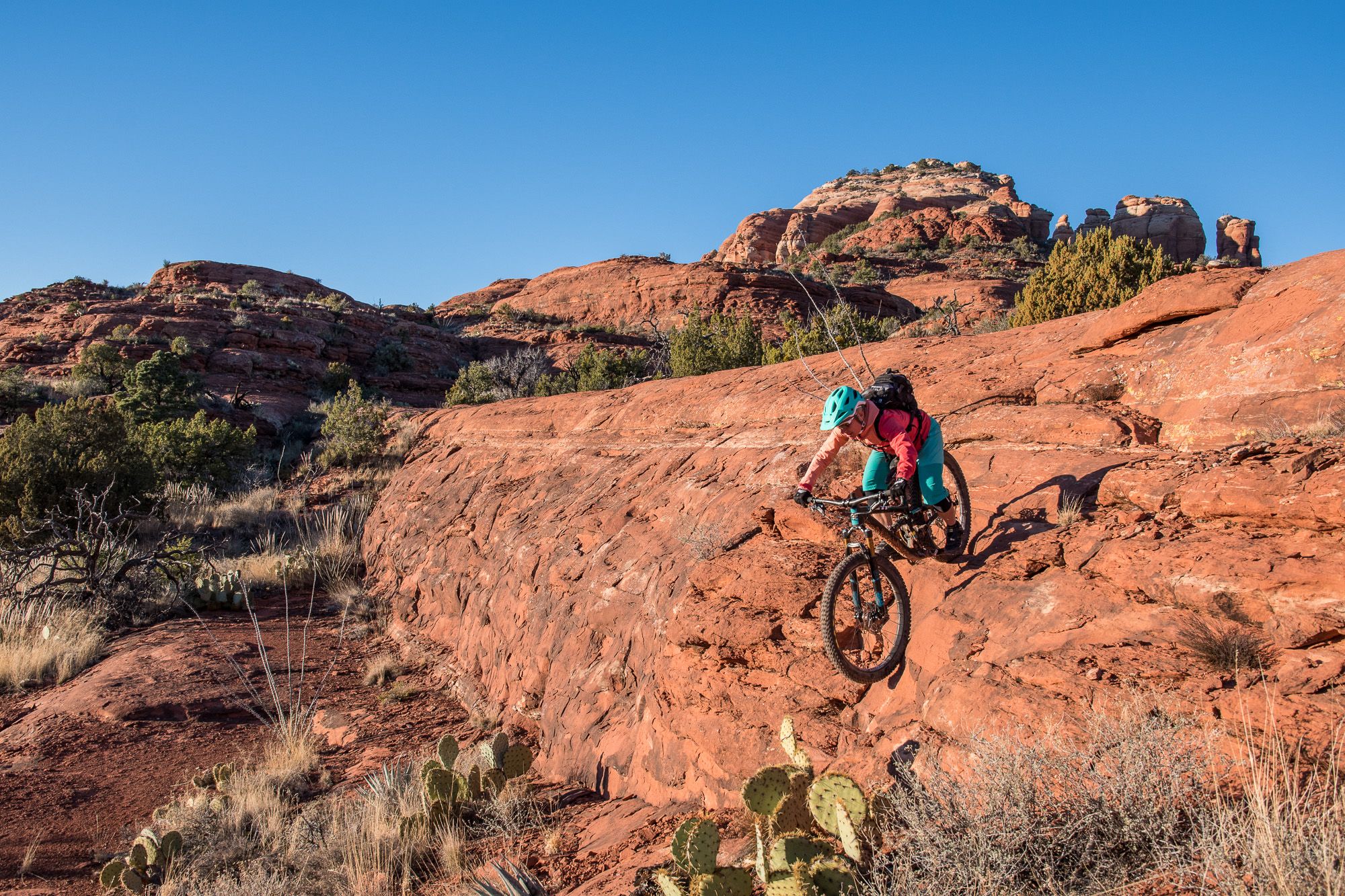
Shred the Red – Mountain biking in Sedona’s MTB hotspot
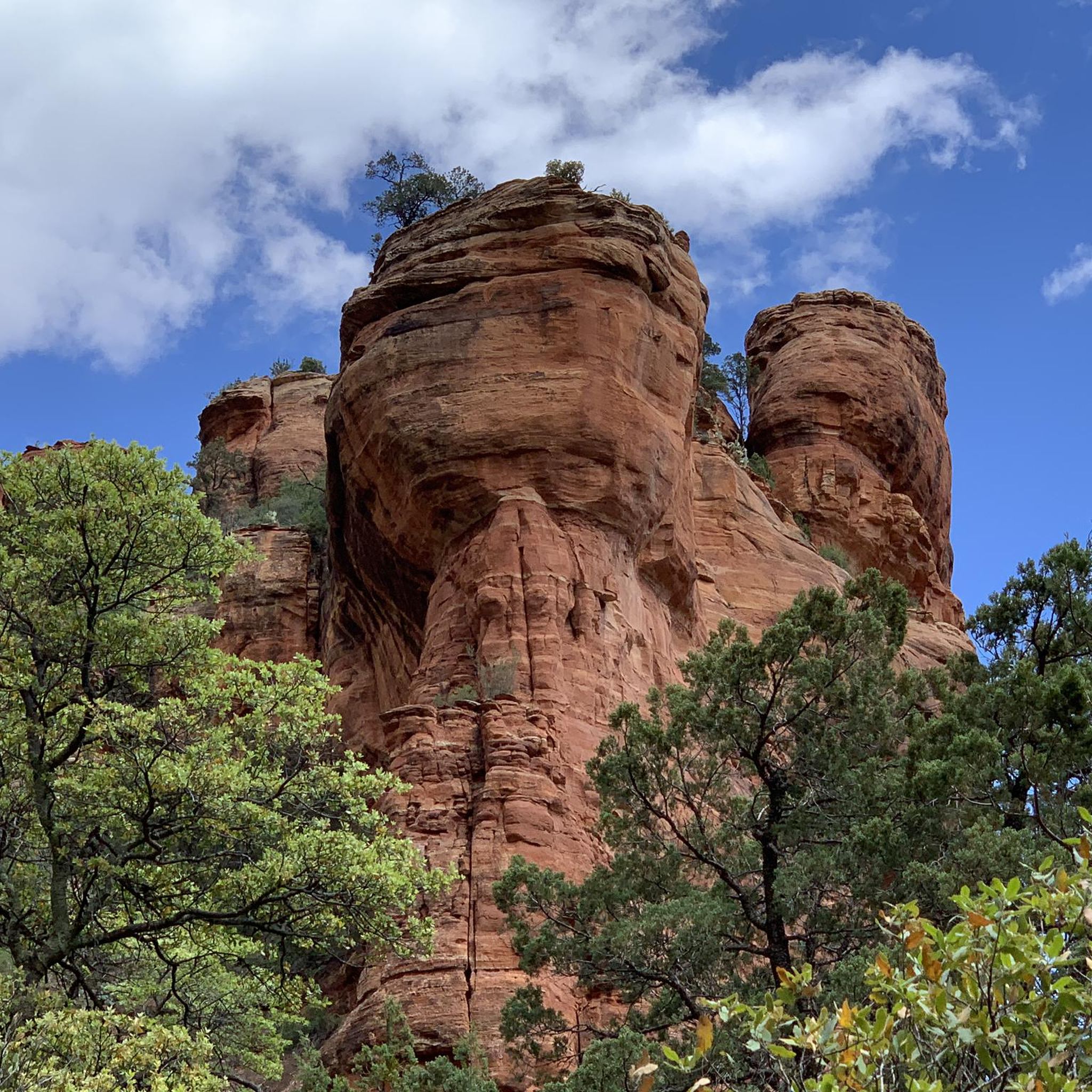
Hiking in the Mollogon Rim
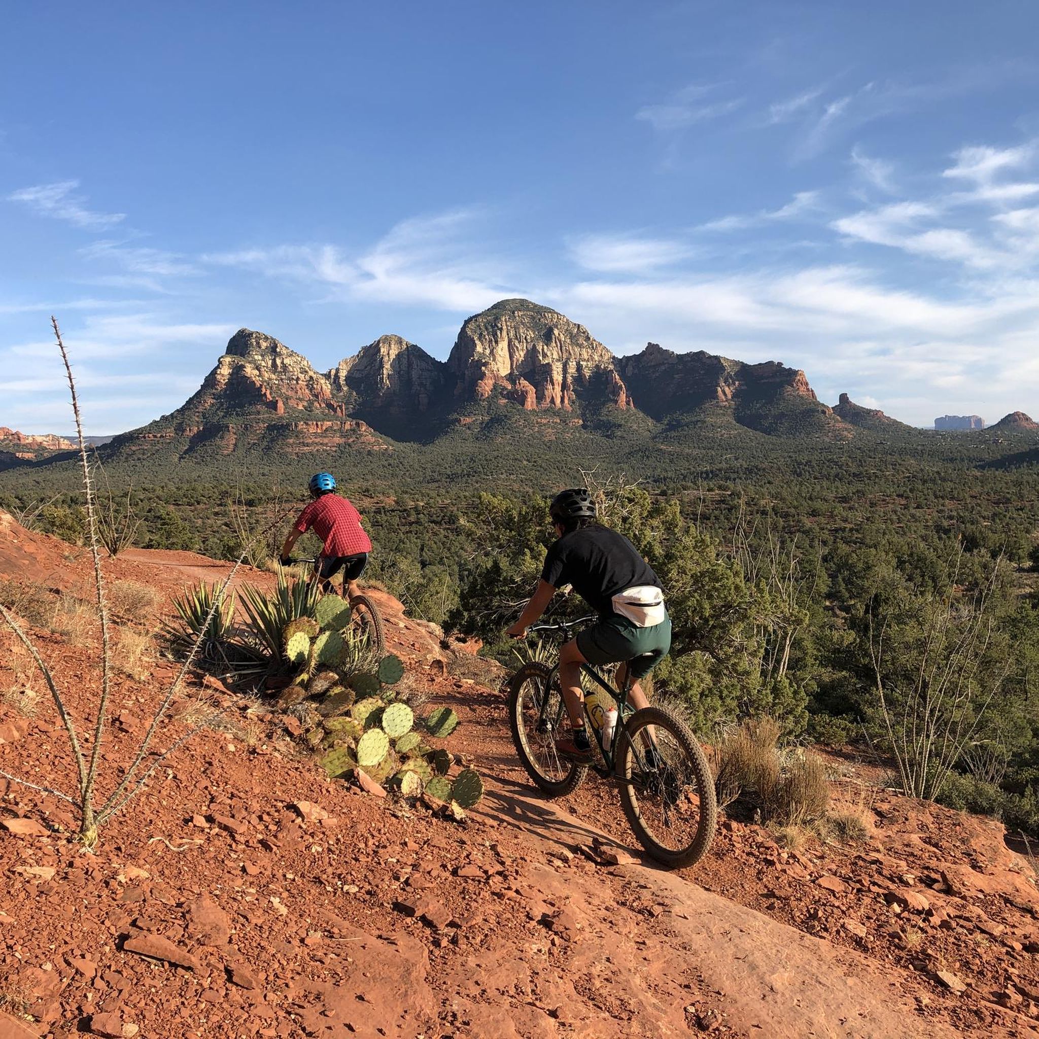
MTB Trails in the Mollogon Rim
Other adventures in the Mollogon Rim


Tips from the Community

views down Fish Creek Canyon and to the Superstition Mtns, before short steep descent on shelf road to Sheep Creek www.cyclepass.com/t_paz_Az88_Apache_Tr_2.html
1
0

State Route 89A stretches 84 miles from Prescott to Flagstaff, showcasing some of Arizona's most picturesque landscapes. The route gracefully meanders over Mingus Mountain and weaves through the scenic Oak Creek Canyon.
0
0

Highway 177 runs through the rugged Arizona mountains between Superior and Winkelman. The northern stretch is more mountainous, with plenty of climbs and descents. While the southern portion mainly follows along the path of the Gila River.
0
0

Dry Creek Trail travels from Vultee Arch Trail Junction towards Round Top Mountain in the Red Rock-Secret Mountain Wilderness. The trail follows Dry Creek up a small canyon and offers a lot of solitude.
0
0
Dry Creek Trail travels from Vultee Arch Trail Junction towards Round Top Mountain in the Red Rock-Secret Mountain Wilderness. The trail follows Dry Creek up a small canyon and offers a lot of solitude.
0
0

This trail, named after a local settler named Charles Sterling, is a steep climb from the get-go. It offers views of diverse red rock geology and winds through a conifer forest with ponderosa pines and dwarf canyon maples. Overlooks are plentiful and you will be wanting to take ample breaks as you enjoy them.
0
0

This trail encircles the entire Pass Mountain, providing a complete 360-degree view of its magnificence from every angle along the way. It offers a smoothly flowing path that allows you to inmerse yourself in the experience without the need for constant navigation.
1
0

Stunning view of Saddle Mountain. You will hike close to its summit, if you hike the Arizona Trail or the Saddle Mountain Trail.
2
0
Frequently Asked Questions
What are the most scenic drives or routes along the Mogollon Rim?
The Mogollon Rim is known for its dramatic escarpment rather than traditional passes. Notable scenic routes include Forest Road 300 (Rim Road), a 45-mile dirt road offering sweeping panoramas and access to lakes like Woods Canyon Lake. Highways 87 and 260 also provide picturesque drives through diverse terrains and pine forests, leading to various access points along the Rim. Additionally, Arizona Highway 177 offers rugged mountain views, and State Route 89A showcases picturesque landscapes, including Oak Creek Canyon.
Are there challenging mountain passes or trails for experienced hikers in the Mogollon Rim?
Yes, the Mogollon Rim offers challenging routes for experienced hikers. For instance, Sterling Pass Trailhead is described as a challenging trail with a steep climb, offering views of diverse red rock geology and winding through a conifer forest. Trekking poles are recommended for some segments of trails in the area.
What kind of views can I expect from the mountain passes in the Mogollon Rim?
The Mogollon Rim provides breathtaking panoramic views due to its dramatic geological features. From routes like Pass Mountain Trail, you can get complete 360-degree views. The Highest point on Apache Trail offers views down Fish Creek Canyon and to the Superstition Mountains. Sycamore Point is also celebrated for its sweeping views of Sycamore Canyon, especially at sunset.
What natural features and wildlife can I encounter along the Mogollon Rim?
The Mogollon Rim is a significant floristic and faunal boundary. You'll find extensive ponderosa pine forests, diverse red rock geology, and impressive canyons like Fossil Creek Canyon and Pine Canyon. The area is home to a wide range of wildlife, including elk, deer, and various bird species, making it excellent for wildlife viewing.
What outdoor activities are available near the mountain passes in the Mogollon Rim?
Beyond exploring the passes themselves, the Mogollon Rim offers a wealth of outdoor activities. You can enjoy hiking, mountain biking, camping, and fishing in cool mountain lakes such as Woods Canyon Lake, Bear Canyon Lake, and Willow Springs Lake. For more specific routes, consider exploring the Gravel biking in the Mollogon Rim guide or the MTB Trails in the Mollogon Rim guide.
When is the best time to visit the Mogollon Rim for mountain passes and scenic drives?
The Mogollon Rim is popular for escaping summer heat, enjoying fall foliage, or experiencing snow in winter. The changing scenery along routes like Highways 87 and 260 makes the drive part of the experience, with different seasons offering unique perspectives. Road conditions, especially on dirt roads like Forest Road 300, should be checked during inclement weather.
Are there any family-friendly options for exploring the Mogollon Rim?
While specific 'family-friendly' categories aren't listed for individual passes, the general nature of the Mogollon Rim with its scenic drives, lakes (like Woods Canyon Lake and Bear Canyon Lake for fishing), and numerous campgrounds makes it suitable for family outings. Many viewpoints offer easy access to stunning vistas without extensive hiking.
What are the typical terrain and elevation changes like on trails in the Mogollon Rim?
The Mogollon Rim is a vast escarpment with elevations reaching up to 8,000 feet, featuring limestone and sandstone cliffs that drop up to 2,000 feet. Trails can range from smoothly flowing paths, like parts of Pass Mountain Trail, to steep climbs with significant elevation changes, as found on Sterling Pass Trailhead. Expect diverse red rock geology and conifer forests.
Can I find places to camp or stay overnight near the Mogollon Rim passes?
Yes, the Mogollon Rim area offers numerous campgrounds, RV parks, and resorts, especially accessible via Highways 87 and 260. Forest Road 300 (Rim Road) is also known for opportunities for dispersed camping, allowing visitors to immerse themselves in the wilderness.
What is the historical significance of the Mogollon Rim region?
The Mogollon Rim area is rich in history, with evidence of Native American tribes and historical sites scattered throughout. Its unique geology, formed by erosion and faulting over millions of years, has shaped the landscape and its human interaction over millennia.
Are there any less crowded mountain passes or viewpoints in the Mogollon Rim?
While popular areas can attract visitors, Sycamore Point is often celebrated as a 'hidden gem' for its sweeping views of Sycamore Canyon, offering a quieter spot for photography and contemplation, especially at sunset.
Most popular routes in the Mollogon Rim
Most popular attractions in the Mollogon Rim

Get inspired with the komoot mobile app


Explore more
See even more epic mountain passes by checking out these guides in the Mollogon Rim:
