The best waterfall hikes and walks in the Mollogon Rim
4.7
(1487)
17,848
hikers
6
hikes
Waterfall hiking trails in the Mollogon Rim traverse a dramatic escarpment that forms the southern edge of the Colorado Plateau. This region is characterized by dense ponderosa pine forests, offering shaded environments and a transition from desert to cooler elevations. The terrain features numerous creeks, springs, and waterfalls, creating lush environments within the pine-filled slopes. Elevations can reach up to 8,000 feet, providing varied landscapes for hiking.
Best waterfall hiking trails in the Mollogon Rim
- The most popular waterfall hiking…
Last updated: July 8, 2026
4.10km
01:07
90m
0m
Hike the easy 2.5-mile Camp Creek Falls Trail in Tonto National Forest to see a seasonal desert waterfall and Sonoran scenery.
6.27km
01:56
330m
40m
Embark on the Massacre Falls via First Water Trailhead, a moderate 3.9-mile (6.3 km) hike that delivers 1069 feet (326 metres) of elevation gain in about 1 hour and 56…

Sign up for free
5.0
(4)
71
hikers
8.52km
02:39
330m
330m
The Massacre Falls Trail offers a captivating desert experience, winding through rugged Arizona landscapes dotted with towering saguaros and diverse cacti. As you hike, you'll be treated to continuous, grand…
8.40km
02:15
100m
100m
Hike the Blue Wash Trail to Camp Creek Falls, a moderate 5.2-mile route in Tonto National Forest, featuring a unique desert waterfall.
7
hikers
The Treasure Loop Trail – Lost Dutchman State Park loop from KVIT-FM (Apache Junction) is a demanding desert adventure, offering a true taste of the Sonoran landscape. This difficult 11.1-mile…
Our route recommendations are based on thousands of hikes, rides, and runs completed by other people on komoot.
Start today with a free account
Your next adventure awaits.
Login or Signup
Popular around Mollogon Rim

Grand Enchantment Trail — Slot canyons, spruce peaks & desert solitude

The Arizona Trail — From Mexico to Utah in 43 days

Highline National Recreation Trail – The High Road around the Mogollon Rim

Historic Route 66 – curiosities, selfie spots and diners

Arizona Trail — A beautiful 800-mile struggle

Bikepack in America's southwest – deserts, cacti and Anasazi culture

MTB in cactus country – technical delicacies around Phoenix
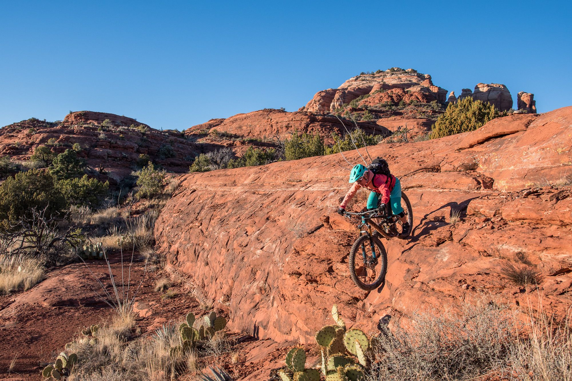
Shred the Red – Mountain biking in Sedona’s MTB hotspot
Other adventures in the Mollogon Rim


Tips from the Community

Cacti in all shapes
0
0

This trail is a moderately challenging hike that showcases the stunning desert landscape of Arizona. The Along the way, you'll enjoy panoramic views of the Superstition Mountains, towering cacti, and vibrant desert flora. Wildlife sightings, such as birds and reptiles, add to the experience. The trail also connects to Slot Rock, another fascinating formation with narrow slots and natural windows. **Gear Needed:** - **Hiking Boots:** Essential for navigating rocky and uneven terrain. - **Water:** Bring plenty, especially during warmer months. - **Sun Protection:** A hat, sunscreen, and sunglasses are a must. - **Snacks:** Lightweight, high-energy snacks to keep you fueled. - **Navigation Tools:** A GPS or map is recommended, as the trail can be faint in some areas. **Timing:** The hike is approximately 4.3 miles long and takes about 2-3 hours to complete, depending on your pace. Starting early in the morning is ideal to avoid the heat and crowds. **Key Points:** - The trail is dog-friendly, but pets must be on a leash. - Best visited between October and June to avoid extreme temperatures. - The trail can be busy, so weekdays or early mornings are recommended. - Watch for cairns to stay on the path, as some sections are less well-marked. - Trekking poles can be helpful for steep or rocky sections. This trail is perfect for those seeking a mix of adventure and natural beauty. Whether you're a seasoned hiker or a beginner looking for a rewarding challenge, the Praying Hands Rock Formation Trail offers an unforgettable experience in the heart of Arizona's desert.
0
0

Superb hike in the Lost Dutchman state park. A must visit if you are in the area
0
0

This 320-acre park doesn't get its name from an unlucky traveler, but rather a legendary gold mine that is said to be lost somewhere in the surrounding mountains. You can stay overnight at the campground or just visit for the day on the many trails that access the surrounding Superstition Wilderness, and who knows, maybe you'll stumble on the fabled gold mine!
0
0

This was a great “good to be alive “ easy hike on an easy to follow trail. Beautiful desert scenery from start to finish.
0
0

Many trails are accessible from this trailhead. Gravel road accessible by any car (except if it rains), big parking, and toilets available. A good starting point to reach the summit Black Mesa top
0
0

Camp Creek Falls is a seasonal waterfall in the Blue Wash area of Tonto National Forest. The falls can be dry depending on recent precipitation, but the stream creating the falls almost always has at least a small trickle. The most popular trail to the falls in the Blue Wash Trail that is used for both hiking and horseback riding, so the trail stays well-blazed even when it isn't busy with trail users. The other main access trail is the Camp Creek Falls Trail, which is a sandy trail up the Camp Creek Wash.
0
0
Frequently Asked Questions
How many waterfall hiking trails are available in the Mogollon Rim?
The Mogollon Rim offers a selection of 6 dedicated waterfall hiking trails. These routes traverse diverse landscapes, from easy strolls to more challenging ascents, all leading to beautiful water features within the region's pine forests.
What is the best time of year to visit the Mogollon Rim for waterfall hikes?
The Mogollon Rim is particularly pleasant in late spring and summer, offering a welcome respite from the desert heat. This is often when waterfalls have good flow. Fall also provides vibrant autumn foliage, making for scenic hikes. While some trails might be accessible in winter, conditions can vary, and some areas may experience snow.
Are there any easy waterfall hikes suitable for families or beginners?
Yes, there are options for easier waterfall hikes. The Camp Creek Falls Trail is an easy 2.5-mile route that provides a direct path to a natural waterfall, making it a great choice for families or those seeking a less strenuous experience.
Are dogs allowed on waterfall hiking trails in the Mogollon Rim?
Many trails in the Mogollon Rim are dog-friendly, but it's always best to check specific trail regulations before heading out. Generally, dogs should be kept on a leash to protect wildlife and ensure a pleasant experience for all hikers. The shaded ponderosa pine forests offer a comfortable environment for pets.
What kind of terrain can I expect on waterfall hikes in the Mogollon Rim?
Hiking in the Mogollon Rim is characterized by varied terrain. You'll often find yourself on pine-filled slopes, crossing babbling streams, and navigating through dense ponderosa pine forests. Some trails, like Massacre Falls via First Water Trailhead, involve significant elevation gain, while others offer relatively flat paths along the rim or through valleys.
Are there any circular waterfall routes in the Mogollon Rim?
While many waterfall trails are out-and-back, some routes offer a loop experience or can be combined with other trails for a circular journey. For example, the Massacre Falls Trail is a moderate 5.3-mile loop that takes you through varied terrain to the falls and back.
What are some notable natural features or landmarks near the waterfall trails?
Beyond the waterfalls themselves, the Mogollon Rim boasts dramatic escarpments with panoramic views. You can explore geological wonders like the Coffee Pot Rock or enjoy the vistas from Sugarloaf Summit. The region is also home to numerous cool mountain lakes, such as Woods Canyon Lake, which offer additional recreational opportunities.
Do I need permits or reservations for waterfall hikes in the Mogollon Rim?
Most general hiking trails in the Mogollon Rim do not require permits for day use. However, specific areas, especially those with high visitor numbers or sensitive ecosystems like Fossil Creek, may require permits or reservations, particularly during peak seasons. It's always advisable to check with the local Forest Service or park authorities for the most current regulations before your visit.
What do other hikers enjoy most about the waterfall trails in the Mogollon Rim?
The waterfall trails in the Mogollon Rim are highly rated by the komoot community, with an average score of 4.7 stars from over 1600 reviews. Hikers frequently praise the refreshing presence of water, the shade provided by the dense ponderosa pine forests, and the dramatic scenic beauty of the escarpment and its hidden gems.
Are there any longer or more challenging waterfall hikes for experienced hikers?
For experienced hikers seeking a greater challenge, trails like the Treasure Loop Trail – Lost Dutchman State Park loop offer a more demanding experience. While not exclusively a waterfall trail, it provides a difficult 11-mile journey with significant elevation changes, showcasing the rugged beauty of the region's landscape.
Can I find any hidden gem waterfall trails that are less crowded?
While popular trails like Horton Creek are well-known, exploring routes such as Blue Wash Trail to Camp Creek Falls might offer a quieter experience. These trails often lead through serene pine forests and along less-traveled paths to beautiful, secluded water features, providing a sense of discovery away from the main crowds.
Most popular routes in the Mollogon Rim
Most popular attractions in the Mollogon Rim

Get inspired with the komoot mobile app


Explore more
Browse the best Hikes in other regions.
