The best walks and hikes in the Mollogon Rim
4.7
(1487)
17,848
hikers
594
hikes
Hiking in the Mollogon Rim offers diverse experiences across a striking geological escarpment. The region is characterized by dramatic limestone cliffs, vast ponderosa pine forests, and varied geological formations, marking the southern edge of the Colorado Plateau. Elevations reach up to 7,800 feet, providing expansive views of canyons and distant mountain ranges. Numerous lakes and perennial streams also contribute to the varied terrain.
Best hiking trails in the Mollogon Rim
- The most popular hiking route is Devil's Bridge from Chuck Wagon Trail — Coconino National Forest, a 5.9 miles (9.4 km) trail that takes 2 hours 40 minutes to complete. This moderate route leads to a prominent natural arch.
- Another top favourite among local hikers is Devil's Bridge from Mescal Trailhead — Red Rock - Secret Mountain Wilderness, an easy 4.0 miles (6.4 km) path. This trail offers views of red rock formations and leads to the iconic Devil's Bridge.
- Local hikers also love the Brins Mesa/Soldier Pass Loop from Tea Cup Trail — Red Rock-Secret Mountain Wilderness, a 9.2 miles (14.7 km) trail leading through red rock landscapes and canyons, often completed in about 4 hours 22 minutes.
- Hiking in the Mollogon Rim is defined by dramatic escarpments, dense pine forests, and red rock formations. The extensive network of routes offers options for various ability levels, from easy walks to more challenging climbs.
- The routes in Mollogon Rim are highly rated by the komoot community with an average score of 4.7 stars from over 1400 reviews. More than 18000 hikers have used komoot to explore Mollogon Rim's varied terrain.
Last updated: July 8, 2026
4.8
(140)
1,652
hikers
9.42km
02:41
190m
190m
Moderate hike. Good fitness required. Easily-accessible paths. Suitable for all skill levels.
4.8
(92)
1,089
hikers
6.39km
01:52
160m
160m
Easy hike. Great for any fitness level. Easily-accessible paths. Suitable for all skill levels.

Sign up for free
4.9
(82)
537
hikers
14.7km
04:21
400m
400m
Moderate hike. Good fitness required. Easily-accessible paths. Suitable for all skill levels.
4.7
(6)
94
hikers
3.20km
00:59
160m
0m
Easy hike. Great for any fitness level. Easily-accessible paths. Suitable for all skill levels.
4.7
(11)
69
hikers
9.45km
03:03
290m
290m
Moderate hike. Good fitness required. Mostly accessible paths. Sure-footedness required.
5.0
(7)
71
hikers
4.53km
01:13
60m
50m
Easy hike. Great for any fitness level. Easily-accessible paths. Suitable for all skill levels.
5.0
(8)
76
hikers
7.50km
02:03
120m
120m
Moderate hike. Good fitness required. Easily-accessible paths. Suitable for all skill levels.
5.0
(1)
67
hikers
3.26km
00:58
120m
20m
Easy hike. Great for any fitness level. Easily-accessible paths. Suitable for all skill levels.
4.9
(48)
475
hikers
11.0km
03:19
350m
350m
Moderate hike. Good fitness required. Easily-accessible paths. Suitable for all skill levels.
5.0
(3)
60
hikers
6.67km
04:26
830m
620m
Hard hike. Good fitness required. Sure-footedness, sturdy shoes and alpine experience required.
Get access to more routes and recommendations from other explorers.
Sign up for free
Already have an account?
Our route recommendations are based on thousands of hikes, rides, and runs completed by other people on komoot.
Start today with a free account
Your next adventure awaits.
Login or Signup
Popular around Mollogon Rim

Grand Enchantment Trail — Slot canyons, spruce peaks & desert solitude

The Arizona Trail — From Mexico to Utah in 43 days

Highline National Recreation Trail – The High Road around the Mogollon Rim

Historic Route 66 – curiosities, selfie spots and diners

Arizona Trail — A beautiful 800-mile struggle

Bikepack in America's southwest – deserts, cacti and Anasazi culture

MTB in cactus country – technical delicacies around Phoenix
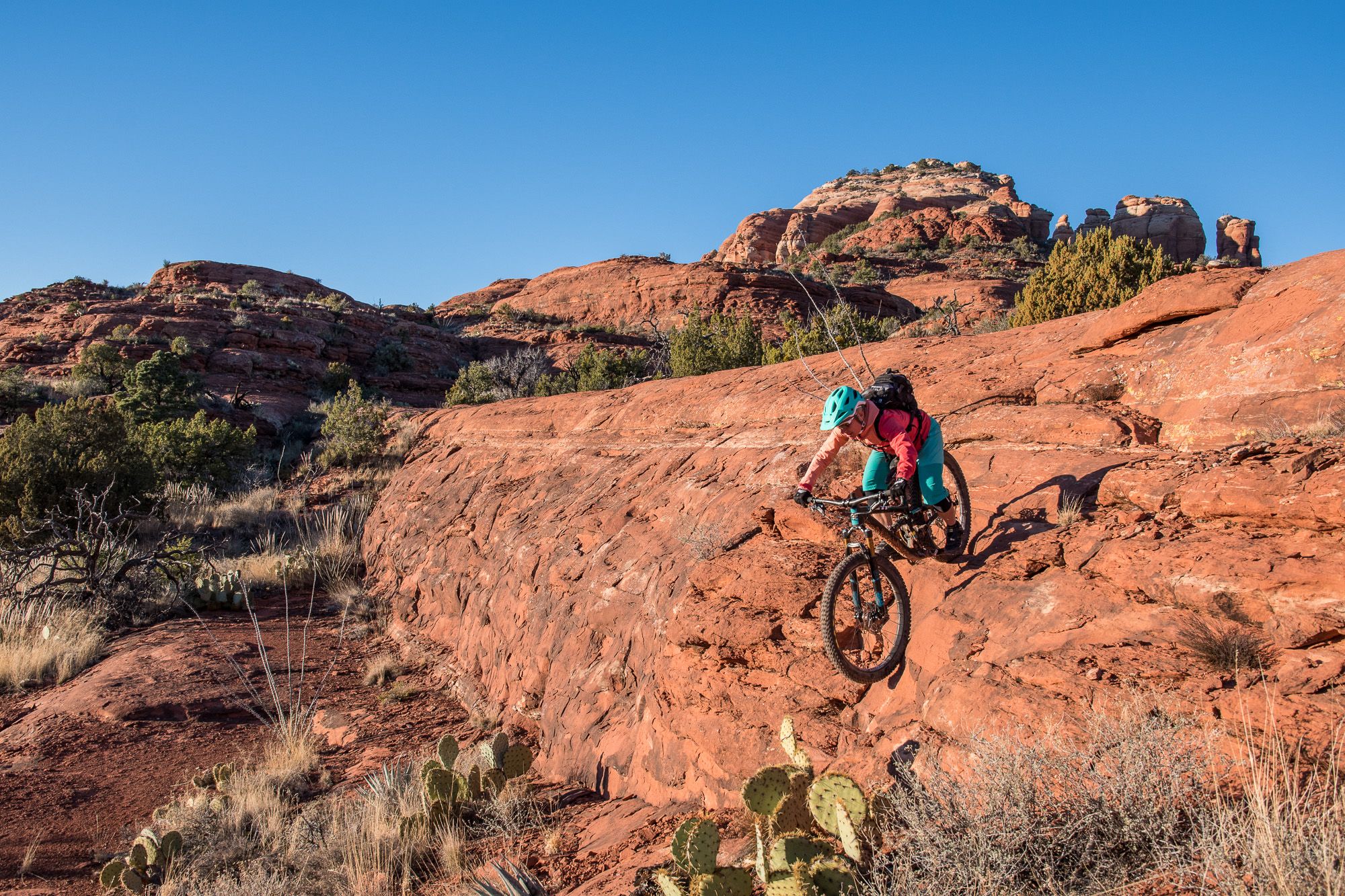
Shred the Red – Mountain biking in Sedona’s MTB hotspot
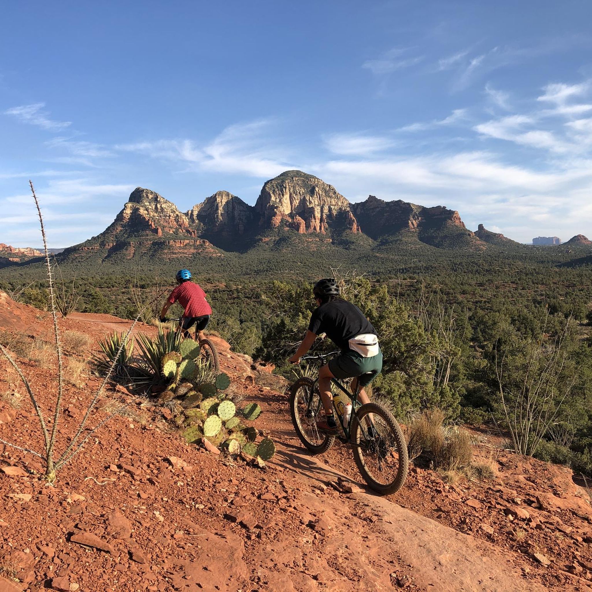
MTB Trails in the Mollogon Rim
Running Trails in the Mollogon Rim
Other adventures in the Mollogon Rim


Tips from the Community

There are two ways to get up to the Subway Cave: one is easier, but goes along a narrow cliff. The more direct approach is more technical, going up the direct slope, but also less scary if you're not good with heights.
0
0


The Subway Cave is a remarkable slot-like natural rock formation and is often considered a "secret spot" due to its location; however, you will likely encounter plenty of other visitors here. Reaching this location requires a short scramble, but the breathtaking views of the surrounding red rock landscape make it well worth the effort.
0
0

The parking lot at the Mascal Trailhead is the ideal starting point for the tour up to Devil's Bridge
0
0

A short hike from the Cathedral Rock sunset view. Worths the extra minute or a few.
0
0

There are always great views between the two rocks.
0
0

This 320-acre park doesn't get its name from an unlucky traveler, but rather a legendary gold mine that is said to be lost somewhere in the surrounding mountains. You can stay overnight at the campground or just visit for the day on the many trails that access the surrounding Superstition Wilderness, and who knows, maybe you'll stumble on the fabled gold mine!
0
0

Frequently Asked Questions
How many hiking trails are available in the Mogollon Rim?
The Mogollon Rim offers a vast network of routes, with over 420 hiking trails available for exploration. These range from easy strolls to more challenging ascents, catering to various skill levels.
What makes hiking in the Mogollon Rim unique?
Hiking in the Mogollon Rim provides a distinctive experience due to its dramatic geological escarpment, which marks the southern edge of the Colorado Plateau. You'll encounter breathtaking panoramic views from sheer limestone cliffs, vast ponderosa pine forests, and diverse geological features including red rock formations and serene mountain lakes. The higher elevation also offers a cooler climate, making it a refreshing escape.
What do other hikers say about the trails in the Mogollon Rim?
The trails in the Mogollon Rim are highly regarded by the komoot community, boasting an average rating of 4.7 stars from nearly 1,500 reviews. Hikers frequently praise the stunning scenic beauty, the variety of terrain, and the opportunity to experience both dramatic rim views and lush forest environments.
Are there easy hiking trails suitable for beginners in the Mogollon Rim?
Yes, the Mogollon Rim has plenty of options for beginners. There are over 150 easy trails, many of which offer accessible paths through scenic landscapes. For example, the Devil's Bridge from Mescal Trailhead is an easy 4-mile path with views of red rock formations, and the Courthouse Butte Loop is another popular easy option.
Are there challenging hikes for experienced hikers in the Mogollon Rim?
Absolutely. For those seeking a challenge, the Mogollon Rim features over 70 difficult trails. These routes often involve significant elevation gain and rugged terrain, offering a rewarding experience. An example is Flatiron via Siphon Draw Trail, which is rated as difficult and involves substantial climbing.
Are there any trails with waterfalls in the Mogollon Rim?
Yes, the Mogollon Rim region is home to several beautiful waterways and hidden waterfalls. While specific trails leading directly to waterfalls might vary, areas like Fossil Creek are known for their lush environments and clear springs. You can explore highlights such as Boulder Pools, which features a waterfall, or trails like Hieroglyphic Trail #101, which can lead to seasonal falls.
Can I find trails that pass by lakes or offer water views?
The Mogollon Rim is dotted with pristine mountain lakes and perennial streams. Trails around Woods Canyon Lake, Willow Springs Lake, and Knoll Lake offer serene settings and opportunities for water views. You can also find highlights like Ayer Lake and Fossil Springs, which provide beautiful aquatic scenery.
Are there family-friendly hiking options in the Mogollon Rim?
Many trails in the Mogollon Rim are suitable for families, especially those seeking easier, shorter routes through shaded forests or around lakes. The region's cooler climate and diverse scenery make it an enjoyable destination for all ages. Look for trails designated as 'easy' for the best family experience.
Are there circular hiking routes in the Mogollon Rim?
Yes, the Mogollon Rim offers several excellent circular hiking routes that allow you to experience diverse scenery without retracing your steps. Popular loop trails include the Brins Mesa/Soldier Pass Loop, which takes you through red rock landscapes and canyons, and the Courthouse Butte Loop.
What kind of views can I expect on hikes in the Mogollon Rim?
Hikes in the Mogollon Rim offer a wide array of spectacular views. You can expect dramatic vistas from the escarpment itself, overlooking vast pine forests and distant mountain ranges. Many trails also provide close-up views of unique red rock formations, deep canyons, and serene lake or river landscapes. The region's diverse geology ensures a constantly changing and visually rich experience.
What is the best time of year to go hiking in the Mogollon Rim?
The Mogollon Rim's higher elevation provides a significantly cooler climate than the surrounding desert, making it an ideal hiking destination for much of the year. Spring and fall offer pleasant temperatures and vibrant scenery, including fall foliage. Even summer provides a refreshing escape from the heat. Winter hiking is also possible, with distinct experiences like snow-covered trails at higher elevations.
Are there any notable landmarks or attractions to see while hiking in the Mogollon Rim?
Beyond the natural beauty of the Rim itself, there are several significant landmarks and attractions. The iconic Devil's Bridge natural arch is a major draw, accessible via routes like Devil's Bridge from Chuck Wagon Trail. Other points of interest include Inspiration Point, offering expansive views, and the historic General Crook Trail. The region also features unique geological formations like Tonto Natural Bridge.
Is parking available at trailheads in the Mogollon Rim?
Parking is generally available at most popular trailheads and recreational areas throughout the Mogollon Rim. Forest Road 300, also known as Rim Road, provides access to many viewpoints and recreational spots with designated parking. However, during peak seasons or for very popular trails, parking lots can fill up quickly, so it's advisable to arrive early.
Most popular routes in the Mollogon Rim
Most popular attractions in the Mollogon Rim

Get inspired with the komoot mobile app


Explore more
Browse the best Hikes in other regions.
