The best road cycling routes in the Mollogon Rim
4.4
(10)
769
riders
21
rides
Road cycling in the Mollogon Rim offers diverse routes across a dramatic 200-mile escarpment that forms the southern edge of the Colorado Plateau. The region features significant elevation changes, with sheer drops of up to 2,000 feet and high cliffs of limestone and sandstone. Extensive ponderosa pine forests provide shaded sections, while mountain lakes and creeks add to the varied landscape. Road cyclists can expect routes that traverse these geological formations and forested areas.
Best road cycling routes in the…
Last updated: July 8, 2026
24
riders
28.5km
01:28
420m
420m
Embark on a dynamic road cycling adventure through West Sedona's stunning red rock country with the Dry Creek Road to Long Canyon Road & Aerie Road route. This moderate 17.7-mile…
4.0
(1)
11
riders
36.2km
02:02
440m
440m
Road cycle the Chapel of the Holy Cross via Red Rock Scenic Byway, a moderate 22.5-mile route with stunning Sedona red rock views.

Sign up for free
6
riders
15.1km
01:11
280m
270m
Cycle the easy 9.4-mile Red Rock Loop Road in Red Rock State Park, gaining 905 feet with stunning red rock formations and vistas.
17.4km
00:58
260m
260m
The Thunder Mountain Road Bike Route is an easy 10.8-mile (17.4 km) road cycling experience, offering a quick and enjoyable spin through the Sedona landscape. With 849 feet (259 metres)…
3.5
(2)
2
riders
This 20.5-mile road cycling loop explores Goldfield Ghost Town and Lost Dutchman State Park, offering easy riding and scenic desert views.
37.6km
01:44
440m
440m
Cycle 23.3 miles (37.6 km) on this moderate road route near Montezuma Well, gaining 1431 feet (436 metres) in 1 hour and 43 minutes.
56.6km
03:03
1,030m
1,030m
Cycle 35.2 miles (56.6 km) from Superior to Gila River via AZ-177, a difficult road route with 3387 feet (1032 m) of gain.
27.6km
01:33
610m
610m
Cycle the moderate 17.1-mile "Superior to Top-of-the-World via Highway 60" route through Devil's Canyon in Tonto National Forest.
31
riders
43.5km
02:34
630m
630m
Moderate road ride. Good fitness required. Some segments of this route may be unpaved and difficult to ride.
5.0
(2)
18
riders
37.0km
01:50
480m
480m
Moderate road ride. Good fitness required. Mostly well-paved surfaces and easy to ride.
Get access to more routes and recommendations from other explorers.
Sign up for free
Already have an account?
Our route recommendations are based on thousands of hikes, rides, and runs completed by other people on komoot.
Start today with a free account
Your next adventure awaits.
Login or Signup
Popular around Mollogon Rim

Grand Enchantment Trail — Slot canyons, spruce peaks & desert solitude

Arizona Trail — A beautiful 800-mile struggle

Bikepack in America's southwest – deserts, cacti and Anasazi culture

The Arizona Trail — From Mexico to Utah in 43 days

Highline National Recreation Trail – The High Road around the Mogollon Rim

Historic Route 66 – curiosities, selfie spots and diners

MTB in cactus country – technical delicacies around Phoenix
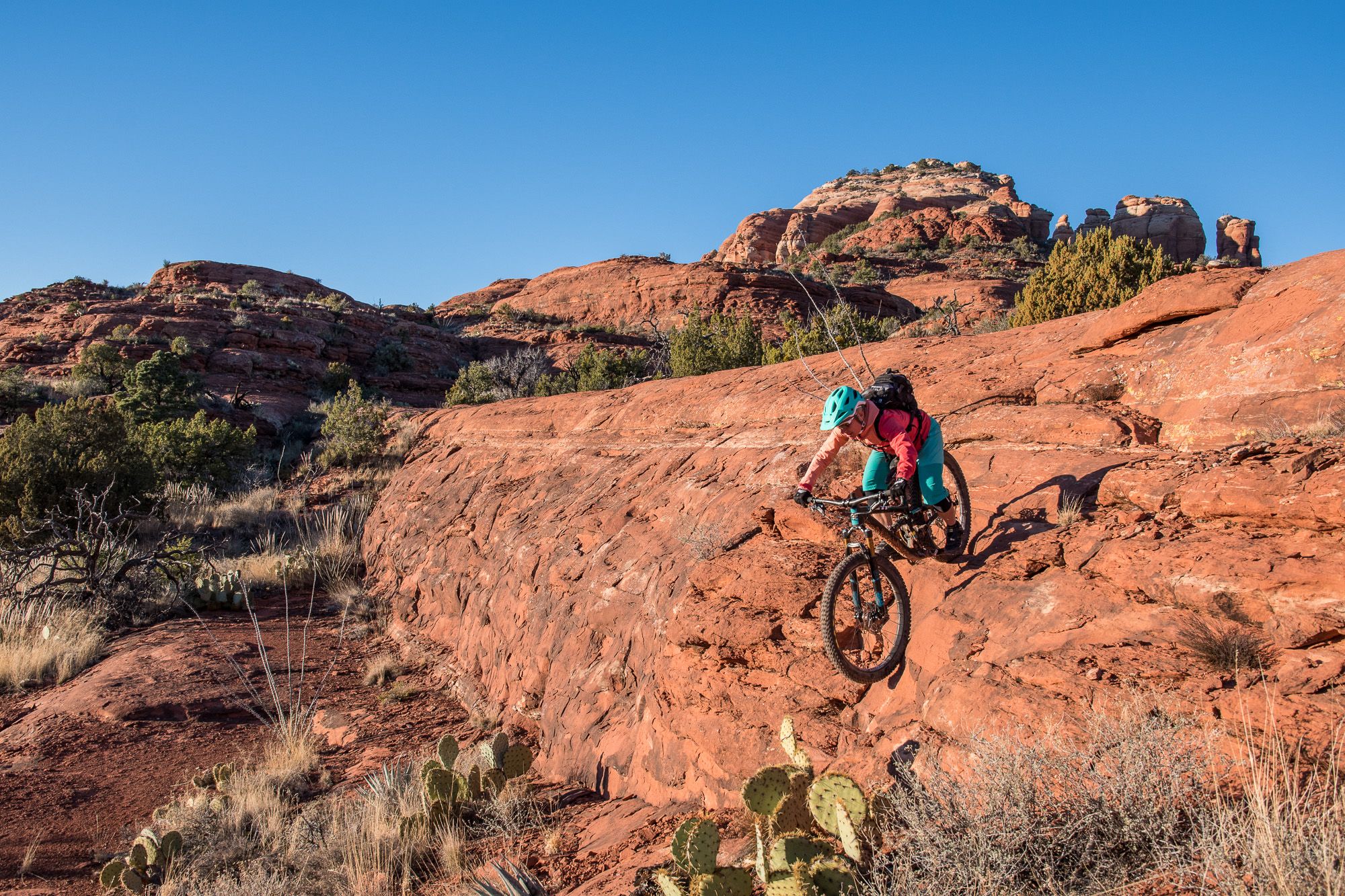
Shred the Red – Mountain biking in Sedona’s MTB hotspot
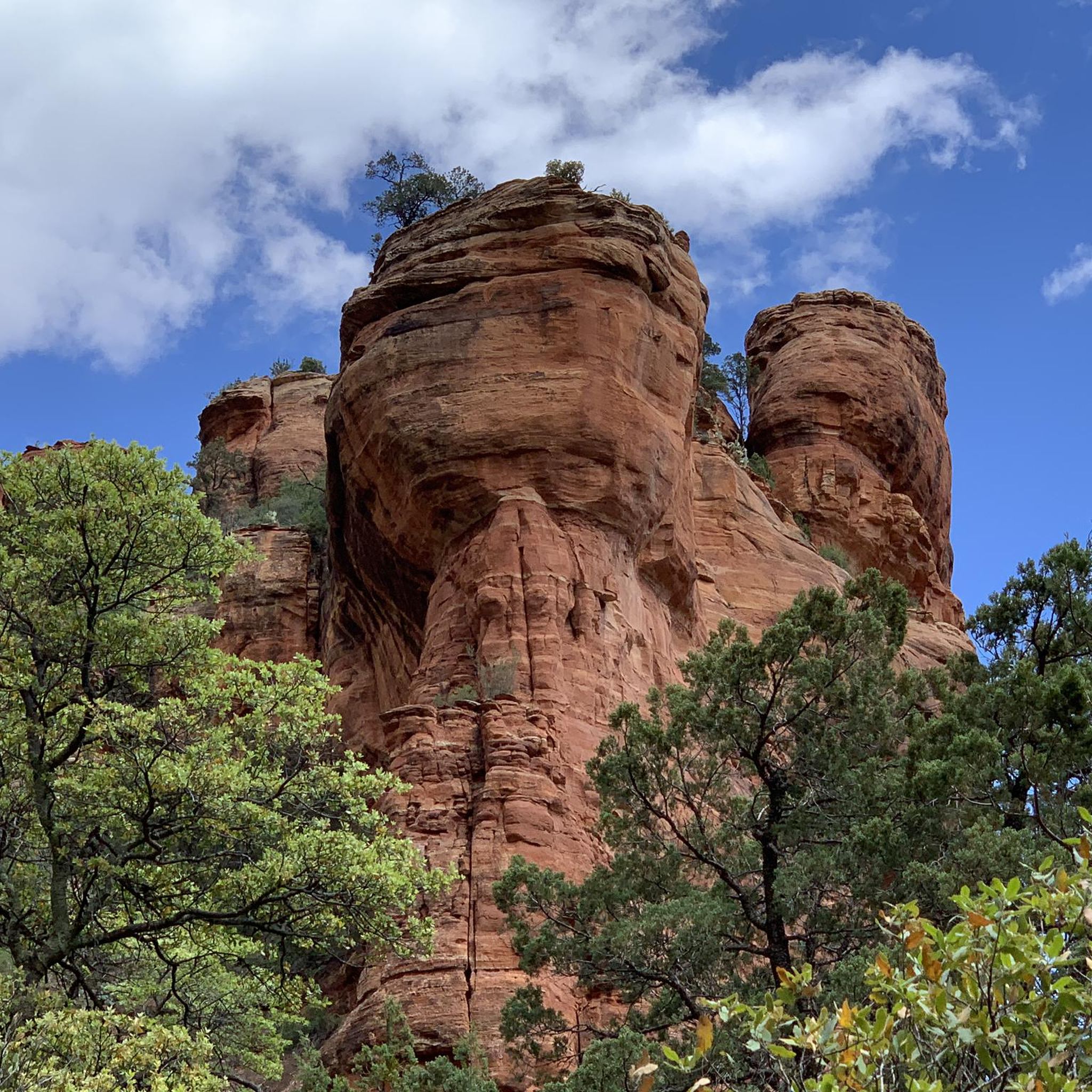
Hiking in the Mollogon Rim
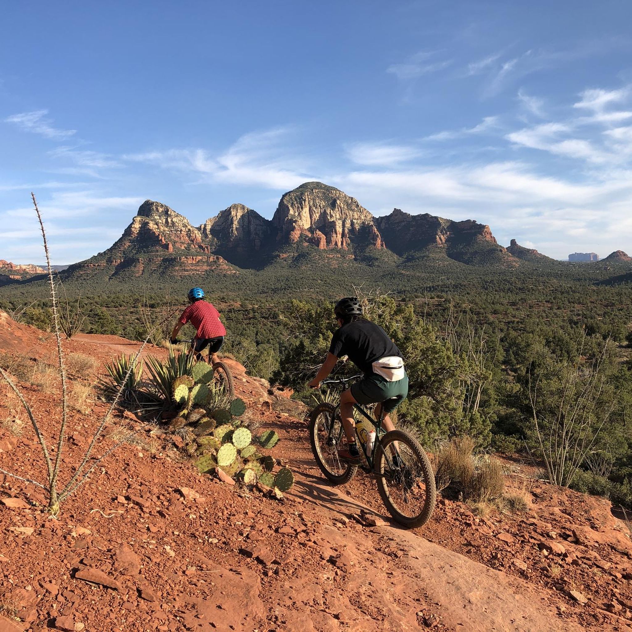
MTB Trails in the Mollogon Rim
Other adventures in the Mollogon Rim


Tips from the Community

If you want an easygoing out-and-back with big red rock views, this is a solid pick. It’s not too long, with gentle climbs as you head past the golf course into the canyon. Super quiet, especially early or late in the day. Great for a relaxed spin or adding a scenic detour to a longer ride around Sedona.
0
0
A smooth paved climb with awesome red rock views above Dry Creek. It’s got a steady grade that’s fun to spin up, with wide shoulders and great scenery. Best early in the day before it gets hot or busy. A solid spot to just enjoy the ride and take in Sedona’s colors.
0
0

Step back in time at Tortilla Flat. For two blocks along State Route 88 you'll find a number of historic buildings doing their best to serve as a set for a Western movie. This is a good spot to get a drink and something to eat before getting back on your bike.
0
0

Visit early, because the small parking area gets overcrowded these days. From the lower parking walk up to the top parking area and then on the gracefully designed bridge up to the chapel, or catch one of the buses to take you to the walkway and back.
2
0

Tortilla Flat is a small touristy place located at the historic Apache Trail. You can grab a bite at the restaurant an have a look into the museum, the gift shop and general store. There is even a post office! Many tales are told about the history of this place that is surrounded by the Superstition Mountains where people are still searching for the legendary gold of the Lost Dutchman. Read for yourself: https://www.tortillaflataz.com/our-history
2
0

Great afternoon road ride with ample parking and no fees
0
0
Highway 177 runs through the rugged Arizona mountains between Superior and Winkelman. The northern stretch is more mountainous, with plenty of climbs and descents. While the southern portion mainly follows along the path of the Gila River.
0
0
From here you can head down Centurian Lane to access the Gila River, or continue on across the Kelvin Bridge. Take note that there is a public water fountain nearby, it's poking through the fence on the north side of the heavy vehicle parking area.
0
0
Frequently Asked Questions
How many road cycling routes are available in the Mogollon Rim?
The Mogollon Rim offers a wide selection of road cycling routes, with over 25 routes available on komoot. These routes cater to various skill levels, including 5 easy, 21 moderate, and 2 difficult options, ensuring there's a ride for every cyclist.
What is the best time of year for road cycling in the Mogollon Rim?
The Mogollon Rim is an excellent escape from the summer heat of lower desert areas, making May to October a particularly popular time for road cycling. The cooler temperatures at higher elevations provide a comfortable riding experience, especially through the extensive ponderosa pine forests.
Are there family-friendly paved road cycling routes in the Mogollon Rim?
Yes, the Mogollon Rim offers several family-friendly options. For instance, the Thunder Mountain Road Bike Route is an easy 10.8-mile (17.4 km) ride, and the Red Rock Loop Road is another easy 9.4-mile (15.1 km) trail, both suitable for families looking for a scenic and less challenging experience.
What kind of terrain can I expect on road cycling routes in the Mogollon Rim?
Road cycling in the Mogollon Rim features diverse terrain, from dramatic escarpments with significant elevation changes to lush ponderosa pine forests. You'll encounter routes with breathtaking panoramic views, high cliffs of limestone and sandstone, and winding roads through scenic valleys. Routes like Superior to Gila River via Arizona Highway 177 offer challenging climbs, while others provide more gentle rolls.
Are there any scenic viewpoints or overlooks along the road cycling routes?
Absolutely. The Mogollon Rim is renowned for its stunning vistas. Many routes offer access to incredible viewpoints like Rim Lakes Vista, Military Sinkhole, and Woods Canyon Vista, providing spectacular photographic opportunities and expansive views of the forests and valleys. The Chapel of the Holy Cross via Red Rock Scenic Byway route, for example, showcases distinctive red rock formations.
What do other road cyclists enjoy most about road cycling in the Mogollon Rim?
The Mogollon Rim's road cycling routes are highly rated by the komoot community, with an average score of 4.2 stars from numerous reviews. Cyclists frequently praise the region's dramatic landscapes, the refreshing escape from the heat, and the variety of routes that cater to different abilities, from scenic byways to challenging climbs.
Are there any loop routes for road cycling in the Mogollon Rim?
Yes, there are several loop routes available. For instance, the Red Rock Loop Road is a popular 9.4-mile (15.1 km) loop that takes you through iconic red rock landscapes. Another option is the Goldfield Ghost Town and Lost Dutchman State Park via the Apache Trail loop, offering a longer 20.5-mile (33 km) ride.
What natural attractions can I explore near the road cycling routes?
The Mogollon Rim is rich in natural beauty. You can find numerous mountain lakes like Woods Canyon Lake, Bear Canyon Lake, and Willow Springs Lake, which are popular for picnicking. The area also features geological wonders and pristine creeks such as Fossil Springs. Many routes offer views or access to these natural highlights.
Are there any challenging road cycling routes for experienced riders?
Experienced riders seeking a challenge will find several difficult routes. The Superior to Gila River via Arizona Highway 177 is a difficult 35.2-mile (56.6 km) route with significant elevation gain, offering a robust workout and rewarding views. Another challenging option is the View of Rock Pinnacle – Boulder Creek Bridge loop from Crosscut Trail Head, a 27.1-mile (43.6 km) moderate-to-difficult ride.
What are some notable roads for scenic cycling in the Mogollon Rim?
Beyond specific routes, the region features scenic drives that are popular for cycling. Forest Road 300 (Rim Road) follows the edge of the Rim, offering spectacular views and access to recreational areas. Highway 260 also provides a scenic journey through dense pine forests. These roads often include paved sections suitable for road bikes.
Can I find routes that pass by historical or cultural landmarks?
Yes, some routes offer glimpses of the region's history and unique structures. For example, the Chapel of the Holy Cross via Red Rock Scenic Byway takes you past an iconic architectural landmark nestled within the red rocks. The Goldfield Ghost Town and Lost Dutchman State Park via the Apache Trail loop also offers a ride through an area with historical significance.
Are there any routes that feature mountain passes?
The Mogollon Rim region includes several mountain passes that can be incorporated into or viewed from road cycling routes. While specific road cycling routes directly over major passes might vary, the general area is characterized by significant elevation changes. You can find highlights like Highest point on Apache Trail and Little Saddle within the broader region, offering challenging ascents and descents.
Most popular routes in the Mollogon Rim
Most popular attractions in the Mollogon Rim

Get inspired with the komoot mobile app


Explore more
Browse the best Road cycling routes in other regions.
