The best running trails in the Mollogon Rim
5.0
(4)
711
runners
119
runs
Jogging routes in the Mogollon Rim traverse a diverse landscape, marking the southern edge of the Colorado Plateau. This region features 2,000-foot limestone and sandstone cliffs, offering expansive views over pine forests and high desert scenery. Elevations can reach up to 8,000 feet, providing a cooler climate and extensive ponderosa pine forests ideal for shaded running. The area also includes mountain lakes such as Woods Canyon Lake, enhancing the scenic variety for runners.
Best jogging routes in the Mollogon Rim
…Last updated: July 7, 2026
63
runners
6.42km
00:51
160m
160m
Moderate run. Good fitness required. Mostly accessible paths. Some sure footedness required.
49
runners
7.99km
01:03
180m
180m
Moderate run. Good fitness required. Mostly paved surfaces. Suitable for all skill levels.

Sign up for free
46
runners
11.0km
01:26
270m
270m
Moderate run. Good fitness required. Mostly paved surfaces. Suitable for all skill levels.
29
runners
8.13km
01:06
230m
230m
Moderate run. Good fitness required. Mostly accessible paths. Some sure footedness required.
25
runners
12.3km
01:37
290m
290m
Hard run. Good fitness required. Sure-footedness, sturdy shoes and alpine experience required.
5.0
(1)
26
runners
5.89km
00:42
80m
80m
Moderate run. Good fitness required. Mostly paved surfaces. Suitable for all skill levels.
23
runners
7.42km
01:19
530m
530m
Hard run. Very good fitness required. Mostly accessible paths. Some sure footedness required.
21
runners
5.25km
00:41
120m
110m
Moderate run. Good fitness required. Mostly accessible paths. Some sure footedness required.
16
runners
11.1km
01:23
130m
130m
Moderate run. Good fitness required. Mostly paved surfaces. Suitable for all skill levels.
10
runners
4.29km
00:37
150m
150m
Moderate run. Good fitness required. Mostly paved surfaces. Suitable for all skill levels.
Get access to more routes and recommendations from other explorers.
Sign up for free
Already have an account?
Our route recommendations are based on thousands of hikes, rides, and runs completed by other people on komoot.
Start today with a free account
Your next adventure awaits.
Login or Signup
Popular around Mollogon Rim

Grand Enchantment Trail — Slot canyons, spruce peaks & desert solitude

Arizona Trail — A beautiful 800-mile struggle

Bikepack in America's southwest – deserts, cacti and Anasazi culture

The Arizona Trail — From Mexico to Utah in 43 days

Highline National Recreation Trail – The High Road around the Mogollon Rim

Historic Route 66 – curiosities, selfie spots and diners

MTB in cactus country – technical delicacies around Phoenix
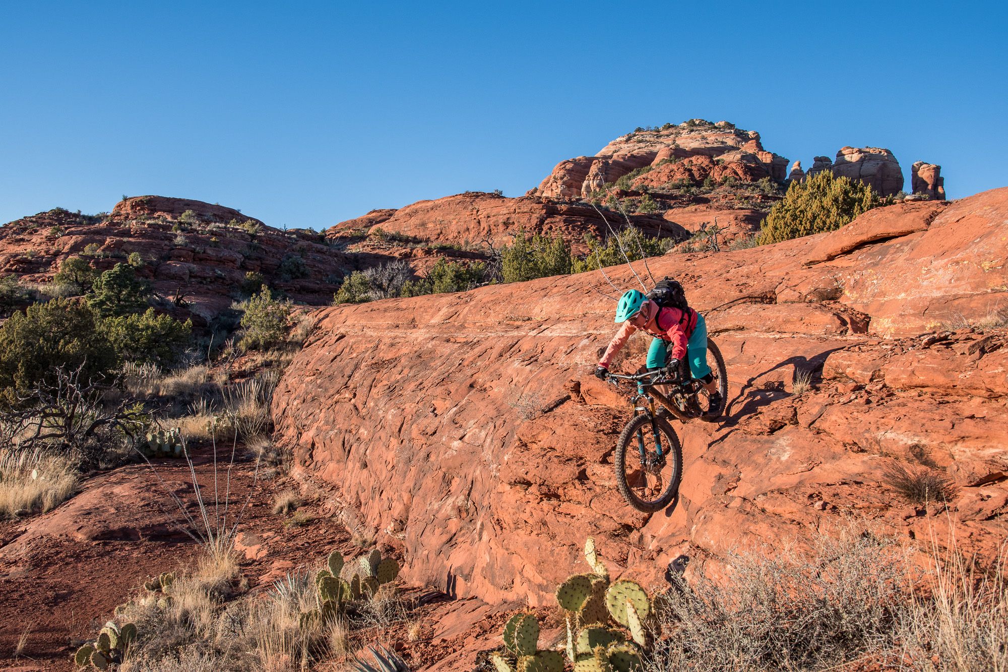
Shred the Red – Mountain biking in Sedona’s MTB hotspot
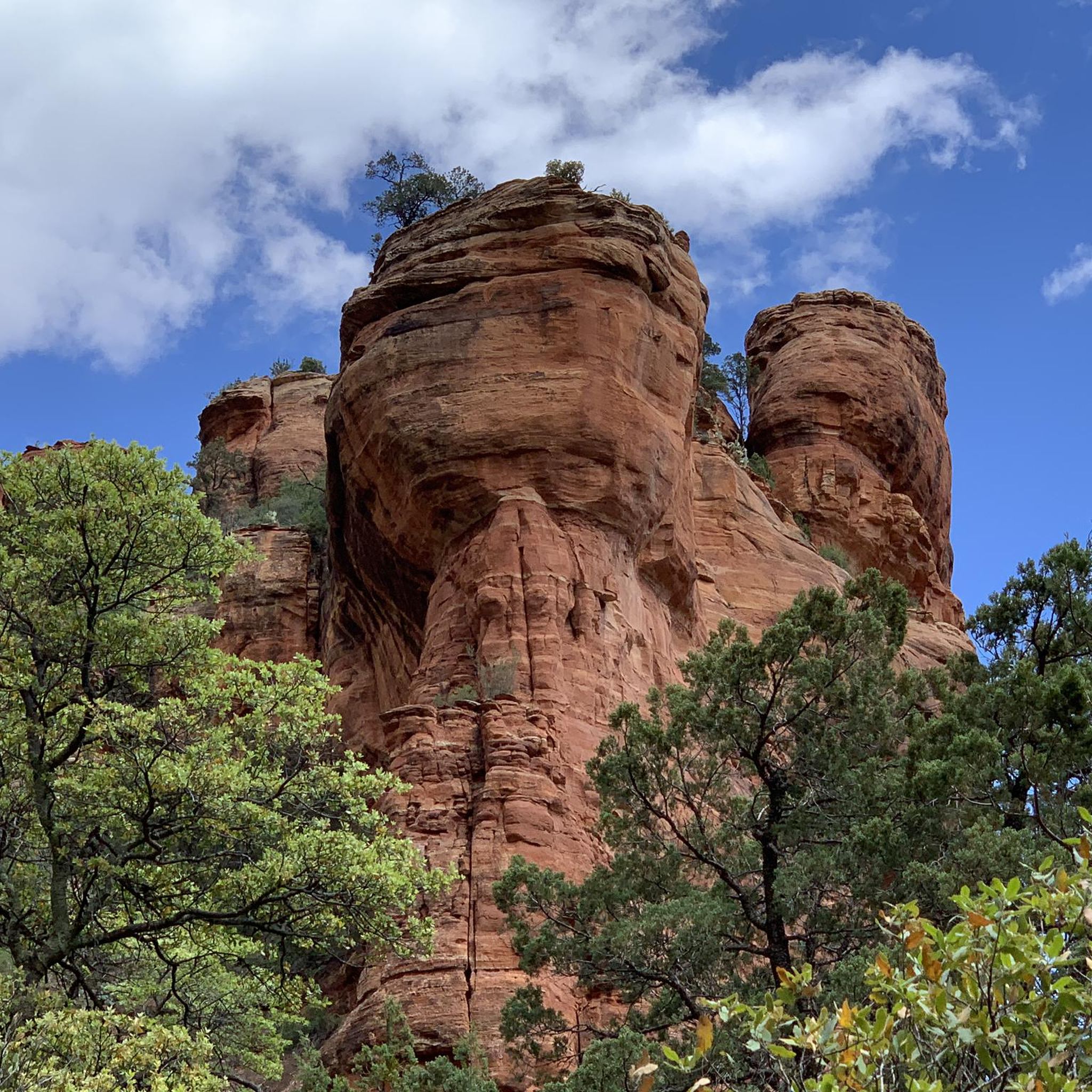
Hiking in the Mollogon Rim
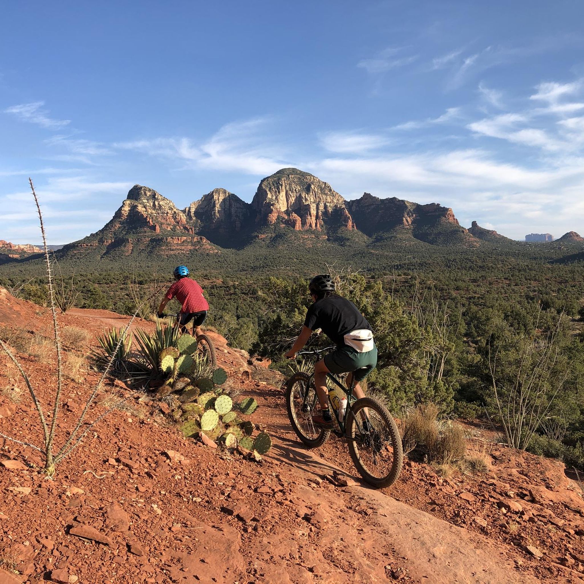
MTB Trails in the Mollogon Rim
Other adventures in the Mollogon Rim


Tips from the Community

There are two ways to get up to the Subway Cave: one is easier, but goes along a narrow cliff. The more direct approach is more technical, going up the direct slope, but also less scary if you're not good with heights.
0
0


The Subway Cave is a remarkable slot-like natural rock formation and is often considered a "secret spot" due to its location; however, you will likely encounter plenty of other visitors here. Reaching this location requires a short scramble, but the breathtaking views of the surrounding red rock landscape make it well worth the effort.
0
0


This section of trail makes one truly feel like they are in the wilderness. This part of Bell Trail follows along the northern bank of Wet Beaver Creek, offering views of the surrounding canyon, desert tanks, and a blossoming riparian environment. Pay attention to signage as you follow this trail as there are numerous trail intersections.
0
0
This section of the Templeton Trail features some rocky, steep switchbacks. If you've paced yourself, you might be able to jog to the top. If you're already feeling it, this section will likely turn into a power-hike.
0
0

Congratulations, you've reached the high point of Hiline! Enjoy the view to the majestic Cathedral Rock and prepare for an awesome downhill waiting for you.
0
0
This bell-shaped rock got its name in the 1800's and has since been a must-see for all traveling through the Sedona area. It appears rounded from a distance, but closer views allow one to see the defined, steep walls of each of its "steps."
0
0
Frequently Asked Questions
What types of running trails are available in the Mogollon Rim?
The Mogollon Rim offers a diverse range of running trails, from easy, partially paved paths to more challenging backcountry routes. You'll find trails winding through dense ponderosa pine forests, along dramatic cliffs with expansive views, and beside pristine mountain lakes. The region's unique geology, marking the southern edge of the Colorado Plateau, provides varied terrain for all skill levels.
Are there easy or beginner-friendly running routes in the Mogollon Rim?
Yes, the Mogollon Rim has several easy running options. For instance, the Courthouse Butte and Bell Rock Loop is a moderate 3.7-mile route that offers scenic views without extreme difficulty. The region also features trails like the Rim Lakes Vista Trail (#622), which is partially paved and considered an easy jogging experience.
What are some longer or more challenging running trails in the Mogollon Rim?
For experienced runners seeking a challenge, the Mogollon Rim offers routes like the Cathedral Rock Loop: Hiline and Templeton Trails, a difficult 7.6-mile route. Another demanding option is the Bear Mountain Trail, which is a difficult 4.6-mile run with significant elevation gain.
Can I find circular running routes in the Mogollon Rim?
Absolutely. Many trails in the Mogollon Rim are designed as loops, offering a complete experience without retracing your steps. Popular circular routes include the Devil's Bridge loop via Chuckwaggon Trail run, a moderate 5.0-mile path, and the Soldier Pass and Brins Mesa Loop, a moderate 5.1-mile trail.
What natural features or landmarks can I see while running in the Mogollon Rim?
The Mogollon Rim is rich in natural beauty. You can encounter dramatic 2,000-foot limestone and sandstone cliffs, vast ponderosa pine forests, and pristine mountain lakes like Woods Canyon Lake. Notable landmarks and attractions along or near routes include Devil's Bridge, Courthouse Rock, and the Seven Sacred Pools. Many trails offer panoramic views stretching for miles over forests and high desert scenery.
Are there any running trails that feature canyons or unique rock formations?
Yes, the region is famous for its stunning canyons and distinctive rock formations. The Boynton Canyon Trail leads through a notable canyon landscape. You can also explore areas with formations like Cathedral Rock and Subway Cave and Ruins in Boynton Canyon, offering unique geological sights during your run.
What is the best time of year for running in the Mogollon Rim?
The Mogollon Rim offers a cooler climate than the lower Arizona desert, making it a popular escape during warmer months. Late spring brings vibrant wildflowers, while fall offers colorful foliage, providing unique running backdrops. Elevations up to 8,000 feet mean it can be significantly cooler, so consider seasonal weather for comfort and safety.
Can I run with my dog on trails in the Mogollon Rim?
Many trails within the Mogollon Rim, particularly those in national forests, are generally dog-friendly, provided your dog is on a leash and you practice Leave No Trace principles. Always check specific trail regulations before heading out, as some areas may have restrictions to protect wildlife or sensitive ecosystems.
What do other runners enjoy most about the trails in the Mogollon Rim?
The running routes in the Mogollon Rim are highly rated by the komoot community, with an average score of 5.0 stars. Runners frequently praise the breathtaking panoramic views, the diverse terrain that keeps runs interesting, and the opportunity to experience the region's unique geological formations and dense pine forests.
How many running routes are available in the Mogollon Rim?
There are over 130 dedicated running routes available in the Mogollon Rim, catering to various fitness levels and preferences. This extensive network ensures plenty of options for exploring the region's diverse landscapes.
Are there opportunities for wildlife spotting while running?
Yes, the Mogollon Rim is known for its rich biodiversity. Runners often have the chance to spot wildlife such as elk, deer, and various bird species, especially during quieter times of day or on less frequented trails. This adds an exciting element to the outdoor running experience.
Most popular routes in the Mollogon Rim
Most popular attractions in the Mollogon Rim

Get inspired with the komoot mobile app


Explore more
Browse the best Running Trails & Routes in other regions.
