Easy hikes and walks in the Mollogon Rim
4.7
(1472)
17,709
hikers
592
hikes
Hiking in the Mollogon Rim offers access to a dramatic geological escarpment characterized by 2,000-foot drops, expansive views, and diverse natural features. The terrain transitions from dense pine forests to desert vistas, with elevations ranging from 5,000 to 8,000 feet. The region features numerous mountain lakes and streams, providing varied landscapes for easy hiking trails.
Best easy hiking trails in the Mollogon Rim
- The most popular easy hiking route is Devil's Bridge via Chuckwagon Trail, a 4.0 miles (6.4…
Last updated: June 24, 2026
4.8
(93)
1,080
hikers
6.39km
01:52
160m
160m
The Devil's Bridge via Chuckwagon Trail offers a fantastic way to experience Sedona's iconic red rock landscape, leading you to the largest natural sandstone arch in the area. The Chuckwagon…
4.7
(6)
94
hikers
3.20km
00:59
160m
0m
The Devil's Bridge via Mescal Trailhead offers a rewarding hike through classic Sedona red rock country, starting on a mostly flat path that winds through desert scrub before connecting to…

Sign up for free
5.0
(7)
68
hikers
4.53km
01:13
60m
50m
The Baldwin Loop Trail near Sedona offers a captivating journey through diverse landscapes, circling a red rock butte with continuous, stunning views of Cathedral Rock. You'll traverse soft red dirt…
5.0
(1)
66
hikers
3.26km
00:58
120m
20m
This popular route to Devil's Bridge takes you through classic Sedona red rock scenery, starting with a walk along a dusty unpaved road before transitioning to a more rugged trail.…
4.3
(3)
44
hikers
2.97km
00:51
90m
50m
Embark on the Pine Creek, Anna Mae, Gowan, and Waterfall Loop for an easy hike through Tonto Natural Bridge State Park. This route takes you into a canyon filled with…
2.0
(1)
40
hikers
5.69km
01:32
100m
20m
The Bell Trail offers an easy 3.5-mile (5.7 km) hike through the Coconino National Forest, guiding you past a striking contrast of desert and riparian landscapes. You will gain 331…
5.0
(1)
29
hikers
6.22km
01:47
220m
30m
The Boynton Canyon Trail offers a captivating blend of Sedona's famous red rock vistas and serene forested paths. You'll begin in the open, sun-drenched landscape, then descend into a cooler,…
4.7
(3)
25
hikers
6.80km
01:54
130m
130m
Embark on an easy 4.2-mile (6.8 km) hike on Tea Cup #183, offering a pleasant journey through Sedona's vibrant desert landscape. You'll gain about 411 feet (125 metres) in elevation,…
24
hikers
5.32km
01:27
50m
120m
The West Fork of Oak Creek Trail #108 offers a delightful journey into a lush canyon, following the winding West Fork of Oak Creek. You'll navigate numerous river crossings, often…
4.5
(2)
25
hikers
5.35km
01:38
180m
170m
Explore the Sonoran Desert on the Jacob's Crosscut, Prospector's View and Treasure Loop Trail, an easy hike covering 3.3 miles (5.4 km). You'll gain 579 feet (177 metres) over an…
Get access to more routes and recommendations from other explorers.
Sign up for free
Already have an account?
Our route recommendations are based on thousands of hikes, rides, and runs completed by other people on komoot.
Start today with a free account
Your next adventure awaits.
Login or Signup
Popular around Mollogon Rim

Grand Enchantment Trail — Slot canyons, spruce peaks & desert solitude

The Arizona Trail — From Mexico to Utah in 43 days

Highline National Recreation Trail – The High Road around the Mogollon Rim

Historic Route 66 – curiosities, selfie spots and diners

Arizona Trail — A beautiful 800-mile struggle

Bikepack in America's southwest – deserts, cacti and Anasazi culture

MTB in cactus country – technical delicacies around Phoenix
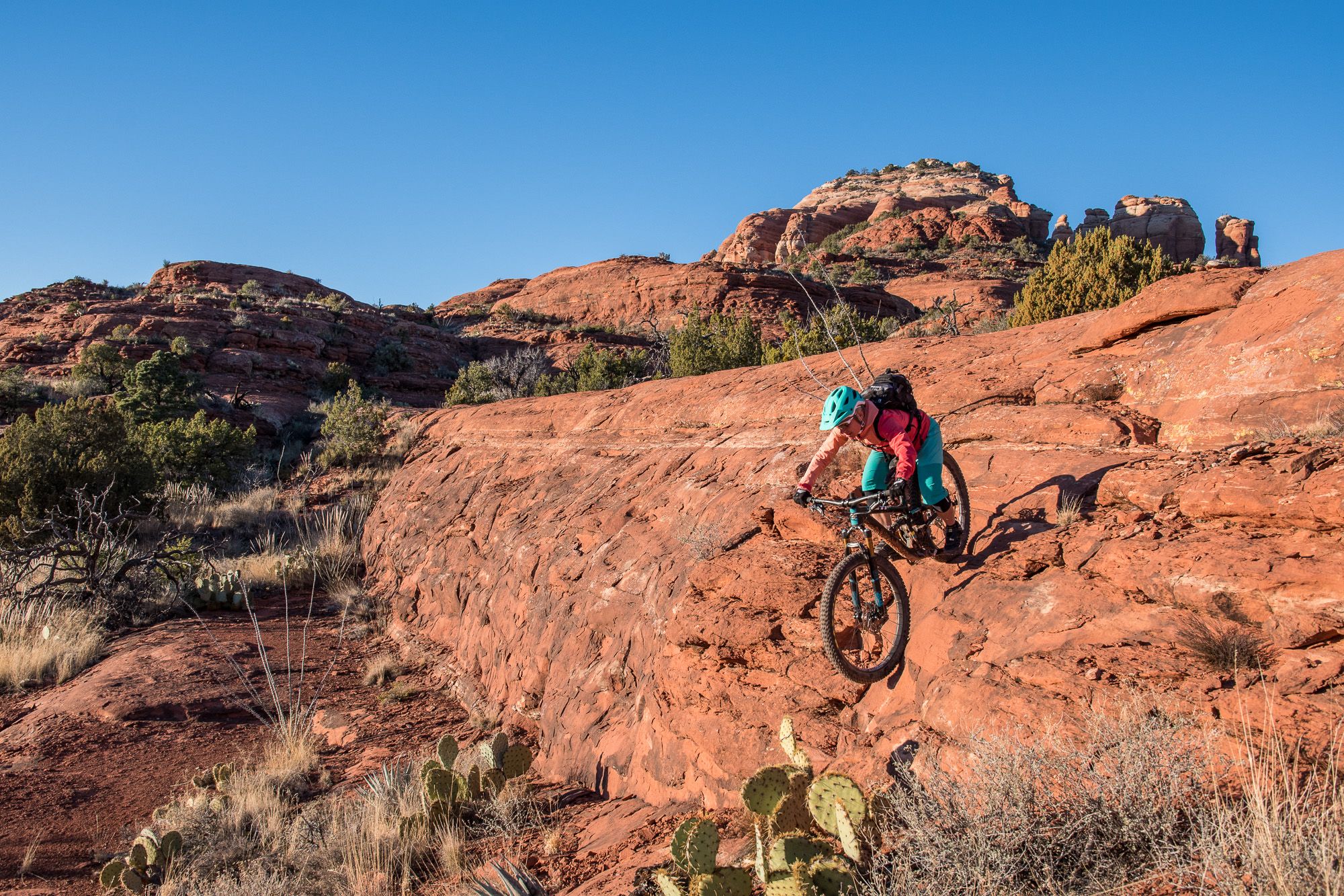
Shred the Red – Mountain biking in Sedona’s MTB hotspot
Other adventures in the Mollogon Rim


Tips from the Community

People came towards me here who warned me about a rattlesnake on the trail. One should always be careful, as besides the poisonous Arizona black rattlesnake, there are other animals one would rather not encounter. I stayed overnight at the nearby Pine Flat Campground. There, upon check-in, you are shown photos of this rattlesnake, the non-poisonous Arizona mountain kingsnake, and the skunk as a warning. It is good that you warn others yourself or that others warn you, because you don't recognize many animals in front of you if they are not moving. At the entrance to the parking lot, you can buy a ticket for the parking lot from a machine, which you must place on the dashboard.
0
0

Great hike wear good shoes and bring lots and lots of water. I recommend going in the early mornings to avoid the extreme heat of the day.
0
0
**Review of the Prospector's View Hike in Apache Junction, AZ** **Highlights:** The Prospector's View Trail offers a moderately challenging 3.6-mile loop with stunning views of the Superstition Mountains. The trail begins with relatively even terrain but becomes hilly, featuring a steep uphill section that rewards hikers with breathtaking vistas. Along the way, you'll encounter unique rock formations and vibrant desert flora, making it a photographer's dream. The best time to visit is between December and April when the weather is cooler and the desert is in bloom. **Gear Needed:** - **Sturdy Footwear:** The rocky and uneven terrain requires good hiking shoes. - **Water:** Bring plenty, as the Arizona sun can be intense. - **Sun Protection:** A hat, sunglasses, and sunscreen are essential. - **Snacks:** Lightweight, high-energy snacks for the trail. - **Camera:** To capture the incredible views and unique rock formations. **Timing:** The hike takes approximately 1 hour and 37 minutes to complete, depending on your pace. It's best to start early in the morning to avoid the midday heat and secure parking, as spaces can be limited. **Key Points:** - The trail is dog-friendly, but pets must be on a leash. - Parking is free, but arriving early is recommended. - The clockwise route is suggested for a more gradual ascent and easier descent. - Be cautious of loose gravel on the downhill sections. - The trail is well-marked, but there are some social paths near the start—stick to the main trail. This hike is perfect for those seeking a mix of physical challenge and natural beauty. Whether you're a seasoned hiker or just looking for a memorable outdoor experience, the Prospector's View Trail won't disappoint!
0
0

This trailhead is a starting point for entering the scenic Boynton Canyon and Deadman's Pass Trail. A Red Rock or America the Beautiful Pass is required. There is a vault toilet and plenty of parking; however, it is a popular location for hikers, and arriving early in the day is best.
0
0


The parking lot at the Mascal Trailhead is the ideal starting point for the tour up to Devil's Bridge
0
0

This 320-acre park doesn't get its name from an unlucky traveler, but rather a legendary gold mine that is said to be lost somewhere in the surrounding mountains. You can stay overnight at the campground or just visit for the day on the many trails that access the surrounding Superstition Wilderness, and who knows, maybe you'll stumble on the fabled gold mine!
0
0

Frequently Asked Questions
How many easy hiking trails are available in the Mogollon Rim?
The Mogollon Rim offers a wide selection of easy hiking trails, with over 250 routes specifically categorized as easy. These trails allow you to explore the region's diverse landscapes without strenuous effort.
What kind of natural features can I expect to see on easy hikes in the Mogollon Rim?
Easy hikes in the Mogollon Rim showcase a variety of stunning natural features. You'll encounter dramatic cliffs and expansive vistas, dense ponderosa pine forests, and pristine mountain lakes. The region is also known for unique geological formations, including the impressive Tonto Natural Bridge.
Are there any easy loop trails for hiking in the Mogollon Rim?
Yes, the Mogollon Rim features several easy loop trails perfect for a relaxed outing. One popular option is the Baldwin Loop Trail, a 2.8-mile path that takes you through scenic canyons and along creek beds. Another great choice is the Jacob's Crosscut, Prospector's View and Treasure Loop Trail, offering a 3.3-mile loop with varied scenery.
Can I find easy hikes with waterfalls in the Mogollon Rim?
While the Mogollon Rim is known for its diverse landscapes, specific easy trails featuring prominent waterfalls are less common. However, the Pine Creek, Anna Mae, Gowan, and Waterfall Loop is a 1.8-mile easy route that includes a waterfall section, offering a refreshing experience.
What are some family-friendly easy hikes in the Mogollon Rim?
Many easy trails in the Mogollon Rim are suitable for families. Routes like the West Fork of Oak Creek Trail #108 offer gentle terrain and scenic beauty, perfect for all ages. The region's dense pine forests and cooler temperatures make for pleasant family outings, especially during warmer months.
Are there any dog-friendly easy trails in the Mogollon Rim?
Many trails in the Mogollon Rim are dog-friendly, though it's always best to check specific trail regulations before heading out. Generally, dogs are welcome on leash on most national forest trails. The varied terrain, from forest paths to open vistas, provides a great environment for you and your canine companion to explore together.
What is the best time of year for easy hikes in the Mogollon Rim?
The Mogollon Rim is a popular destination year-round, but the best time for easy hikes depends on your preference. Spring and fall offer mild temperatures and beautiful scenery, with vibrant fall foliage in October. Summer provides a cool escape from desert heat due to higher elevations, while winter can offer unique snowy landscapes for those prepared for colder conditions.
What do other hikers enjoy most about easy trails in the Mogollon Rim?
The komoot community highly rates the trails in the Mogollon Rim, with an average score of 4.7 stars from over 1600 reviews. Hikers frequently praise the dramatic cliffs, expansive views, and the transition from dense pine forests to desert vistas. The diverse natural features and well-maintained paths contribute to a highly enjoyable hiking experience.
Are there any interesting landmarks or points of interest along easy hiking routes?
Absolutely! The Mogollon Rim is rich with landmarks. Many easy routes lead to or pass by iconic spots like Devil's Bridge, a prominent natural arch formation. Other notable natural monuments include Courthouse Rock and the Seven Sacred Pools, offering unique sights to explore.
What are the typical distances and durations for easy hikes in the Mogollon Rim?
Easy hikes in the Mogollon Rim vary in length, generally ranging from 1 to 4 miles. For example, the Devil's Bridge via Mescal Trailhead is an easy 2.0-mile path, typically completed in under 2 hours. Longer easy routes, like the Devil's Bridge via Chuckwagon Trail, can be around 4 miles and take approximately 2 hours to complete, offering more time to enjoy the scenery.
Are there any easy trails that offer panoramic views of the Mogollon Rim?
Yes, many easy trails provide breathtaking panoramic views. The Mogollon Rim itself is known for its dramatic 2,000-foot drops and expansive vistas. While specific easy routes are not listed, trails that hug the rim's edge or lead to overlooks will offer spectacular views of the vast pine forests and canyons below.
What is the elevation range for easy hikes in the Mogollon Rim?
The Mogollon Rim region spans elevations from 5,000 to 8,000 feet. Easy hikes are generally found within this range, often on relatively flat or gently sloping terrain, allowing you to enjoy the high-altitude environment without significant climbs.
Most popular routes in the Mollogon Rim
Most popular attractions in the Mollogon Rim

Get inspired with the komoot mobile app


Explore more
Browse the best Hikes in other regions.
