The best traffic-free bike rides in the Mollogon Rim
4.5
(12)
890
riders
6
rides
No traffic road cycling routes in the Mollogon Rim traverse a diverse landscape characterized by the dramatic Mogollon Rim escarpment, which forms the southwestern edge of the Colorado Plateau. This region features extensive Ponderosa pine forests, high cliffs of limestone and sandstone, and several mountain lakes. The terrain offers varied elevation changes, providing a distinct environment for road cyclists.
Best no traffic road cycling routes in the Mollogon Rim
- The most popular no traffic road cycling route is Dry Creek…
Last updated: July 8, 2026
24
riders
28.5km
01:28
420m
420m
Moderate road ride. Good fitness required. Mostly well-paved surfaces and easy to ride.
15
riders
19.7km
00:52
200m
200m
Easy road ride. Great for any fitness level. Mostly well-paved surfaces and easy to ride.

Sign up for free
11
riders
9.31km
00:32
80m
80m
Easy road ride. Great for any fitness level. Mostly well-paved surfaces and easy to ride.
9
riders
21.3km
01:02
280m
270m
Easy road ride. Great for any fitness level. Mostly well-paved surfaces and easy to ride.
11
riders
Easy road ride. Great for any fitness level. Mostly well-paved surfaces and easy to ride.
Our route recommendations are based on thousands of hikes, rides, and runs completed by other people on komoot.
Start today with a free account
Your next adventure awaits.
Login or Signup
Popular around Mollogon Rim

Grand Enchantment Trail — Slot canyons, spruce peaks & desert solitude

Arizona Trail — A beautiful 800-mile struggle

Bikepack in America's southwest – deserts, cacti and Anasazi culture

The Arizona Trail — From Mexico to Utah in 43 days

Highline National Recreation Trail – The High Road around the Mogollon Rim

Historic Route 66 – curiosities, selfie spots and diners

MTB in cactus country – technical delicacies around Phoenix
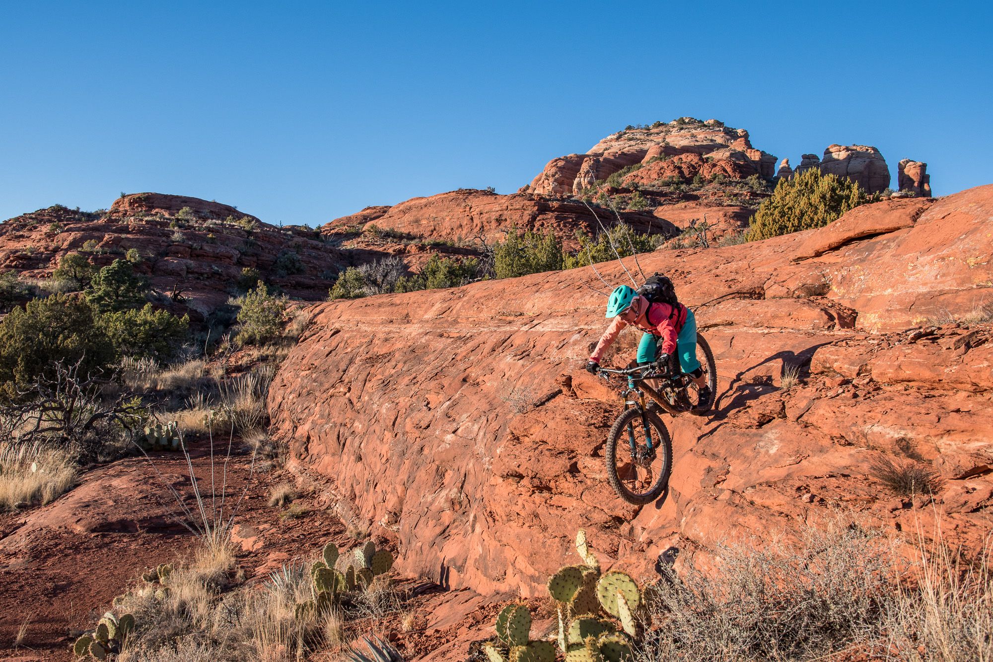
Shred the Red – Mountain biking in Sedona’s MTB hotspot

Traffic-free bike rides in the Mollogon Rim

Traffic-free bike rides in the Mollogon Rim
Other adventures in the Mollogon Rim


Tips from the Community

People came towards me here who warned me about a rattlesnake on the trail. One should always be careful, as besides the poisonous Arizona black rattlesnake, there are other animals one would rather not encounter. I stayed overnight at the nearby Pine Flat Campground. There, upon check-in, you are shown photos of this rattlesnake, the non-poisonous Arizona mountain kingsnake, and the skunk as a warning. It is good that you warn others yourself or that others warn you, because you don't recognize many animals in front of you if they are not moving. At the entrance to the parking lot, you can buy a ticket for the parking lot from a machine, which you must place on the dashboard.
0
0

You can find this small tank while cycling Boynton Pass Road. Given the desert vibes, seeing water is always refreshing.
0
0
If you want an easygoing out-and-back with big red rock views, this is a solid pick. It’s not too long, with gentle climbs as you head past the golf course into the canyon. Super quiet, especially early or late in the day. Great for a relaxed spin or adding a scenic detour to a longer ride around Sedona.
0
0
A smooth paved climb with awesome red rock views above Dry Creek. It’s got a steady grade that’s fun to spin up, with wide shoulders and great scenery. Best early in the day before it gets hot or busy. A solid spot to just enjoy the ride and take in Sedona’s colors.
0
0

This trailhead is a starting point for entering the scenic Boynton Canyon and Deadman's Pass Trail. A Red Rock or America the Beautiful Pass is required. There is a vault toilet and plenty of parking; however, it is a popular location for hikers, and arriving early in the day is best.
0
0

Fay Canyon Trail is a popular trail for hikers seeking minimal elevation gain while enjoying red sandstone views between canyon walls. This trail provides ample opportunities to see desert wildflowers and a "hidden" arch.
1
0
Frequently Asked Questions
How many no-traffic road cycling routes are available in the Mogollon Rim area?
There are 6 dedicated no-traffic road cycling routes in the Mogollon Rim region featured in this guide. These routes are specifically curated for a peaceful cycling experience away from vehicular traffic.
What is the general difficulty level of these no-traffic road cycling routes?
The no-traffic road cycling routes in the Mogollon Rim cater to various skill levels. This guide features 3 easy routes and 3 moderate routes, making it accessible for both casual riders and those looking for a bit more challenge. There are no difficult routes listed in this selection.
Are there any easy, family-friendly no-traffic road cycling routes?
Yes, several easy routes are suitable for families. For instance, the Roadbike loop from McDowell Mountain Regional Park offers a gentle 13.2 km ride. Other easy options include the Fay Canyon Trailhead – OK Tank loop and the Boynton Canyon Trailhead – Fay Canyon Trailhead loop, both providing scenic and manageable distances.
What kind of terrain can I expect on no-traffic road cycling routes in the Mogollon Rim?
While the broader Mogollon Rim area is known for its mountainous terrain and some unpaved forest roads, the no-traffic road cycling routes in this guide are selected for paved surfaces suitable for road bikes. You can expect varied elevations, from gentle loops to routes with moderate climbs, offering a good workout amidst the Ponderosa pine forests and scenic vistas.
What are some notable natural features or landmarks I might see along these routes?
The Mogollon Rim is rich in natural beauty. While cycling, you might encounter stunning geological formations, expansive Ponderosa pine forests, and breathtaking vistas. Nearby attractions include unique cave formations like Subway Cave and Ruins or Soldier Pass Cave. The region also features prominent peaks such as Coffee Pot Rock and Sugarloaf Summit, offering dramatic backdrops to your ride.
Are there any longer no-traffic road cycling routes for experienced riders?
For riders seeking a longer, more challenging experience, the Dry Creek Road to Long Canyon Road & Aerie Road route is a moderate 28.5 km ride with over 400 meters of elevation gain, providing a good test of endurance on quiet roads.
What is the best time of year for no-traffic road cycling in the Mogollon Rim?
The Mogollon Rim offers a refreshing escape, especially during the summer months when temperatures are significantly cooler than in lower desert areas. Spring and fall also provide pleasant cycling conditions with mild weather and beautiful scenery. Winter cycling might be possible in lower elevations, but higher areas can experience snow and colder temperatures.
What do other cyclists say about road cycling in the Mogollon Rim?
The Mogollon Rim is highly rated by the komoot community, with an average score of 4.0 stars. Reviewers often praise the region for its stunning natural landscapes, the peacefulness of the routes, and the opportunity to cycle away from heavy traffic, especially within the Ponderosa pine forests.
Are there any loop routes among the no-traffic road cycling options?
Yes, many of the routes are designed as loops, offering a convenient way to start and end your ride at the same point. Examples include the Roadbike loop from McDowell Mountain Regional Park and the Speeds Tank loop from Village of Oak Creek, allowing you to experience diverse scenery without retracing your path.
Can I find places to eat or get refreshments near these no-traffic road cycling routes?
While the routes themselves focus on natural, traffic-free areas, charming mountain communities like Payson and Pine-Strawberry are located nearby. These towns offer various amenities, including cafes and local restaurants, where you can refuel before or after your ride. It's always a good idea to check specific opening hours, especially in smaller communities.
Are there any specific viewpoints along the no-traffic road cycling routes?
While the routes are chosen for their overall scenic beauty, the Mogollon Rim itself is famous for its breathtaking vistas. Although not directly on every no-traffic road cycling route, scenic viewpoints like Rim Lakes Vista are accessible in the broader region and offer expansive views that stretch for miles, providing excellent photo opportunities.
Most popular routes in the Mollogon Rim
Most popular attractions in the Mollogon Rim

Get inspired with the komoot mobile app


Explore more
Browse the best Road cycling routes in other regions.
