Top 20 Bike Parks in the Mollogon Rim
Best bike parks in the Mollogon Rim offer a diverse landscape for mountain biking, characterized by a 2,000-foot-high escarpment. This region provides a variety of terrains, from high desert to old-growth pine forests. The area features extensive trail networks suitable for different skill levels. Riders can find challenging routes and opportunities for multi-day bikepacking.
Best bike parks in the Mollogon Rim
- The most popular bike parks is Mescal Trail to Canyon of Fools, a trail that runs along the…
Last updated: July 10, 2026
Slim Shady Trailhead
Highlight • Trail
We make a short stop to look at the rocks.
Translated by Google •
Tip by

Aerie Trail (Lower)
Highlight (Segment) • Trail
Tip by

Sign up now to discover places like this
Get recommendations on the best single tracks, peaks, & plenty of other exciting outdoor places.
Sign up for free
Adobe Jack
Highlight (Segment) • Trail
Tip by
Mescal Trail to Canyon of Fools
Highlight (Segment) • Trail
Tip by
Broken Arrow Trail
Highlight (Segment) • Trail
Tip by
Hangover Trail
Highlight (Segment) • Trail
Tip by

Mescal between Deadman's and Canyon of Fools
Highlight (Segment) • MTB Park
Tip by
Old Post Trail (North Section)
Highlight (Segment) • Trail
Translated by Google •
Tip by

Ground Control
Highlight (Segment) • MTB Park
Tip by
HT Trail
Highlight (Segment) • Trail
Tip by
Sign up for free to discover even more bike parks in the Mollogon Rim.
Sign up for free
Already have an account?
Start today with a free account
Your next adventure awaits.
Login or Signup
Popular around Mollogon Rim

Grand Enchantment Trail — Slot canyons, spruce peaks & desert solitude

Arizona Trail — A beautiful 800-mile struggle

Bikepack in America's southwest – deserts, cacti and Anasazi culture

The Arizona Trail — From Mexico to Utah in 43 days

Highline National Recreation Trail – The High Road around the Mogollon Rim

Historic Route 66 – curiosities, selfie spots and diners

MTB in cactus country – technical delicacies around Phoenix
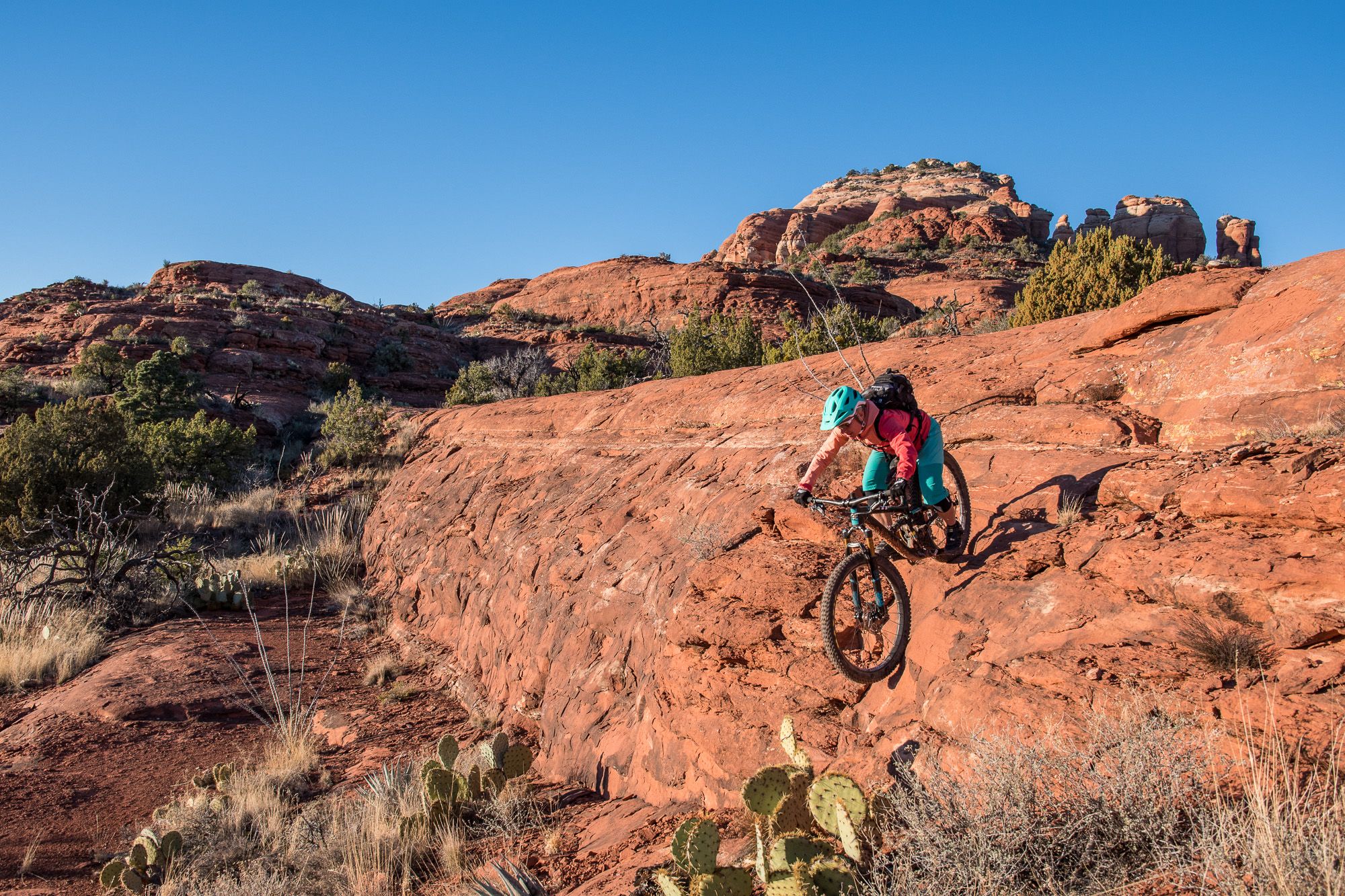
Shred the Red – Mountain biking in Sedona’s MTB hotspot
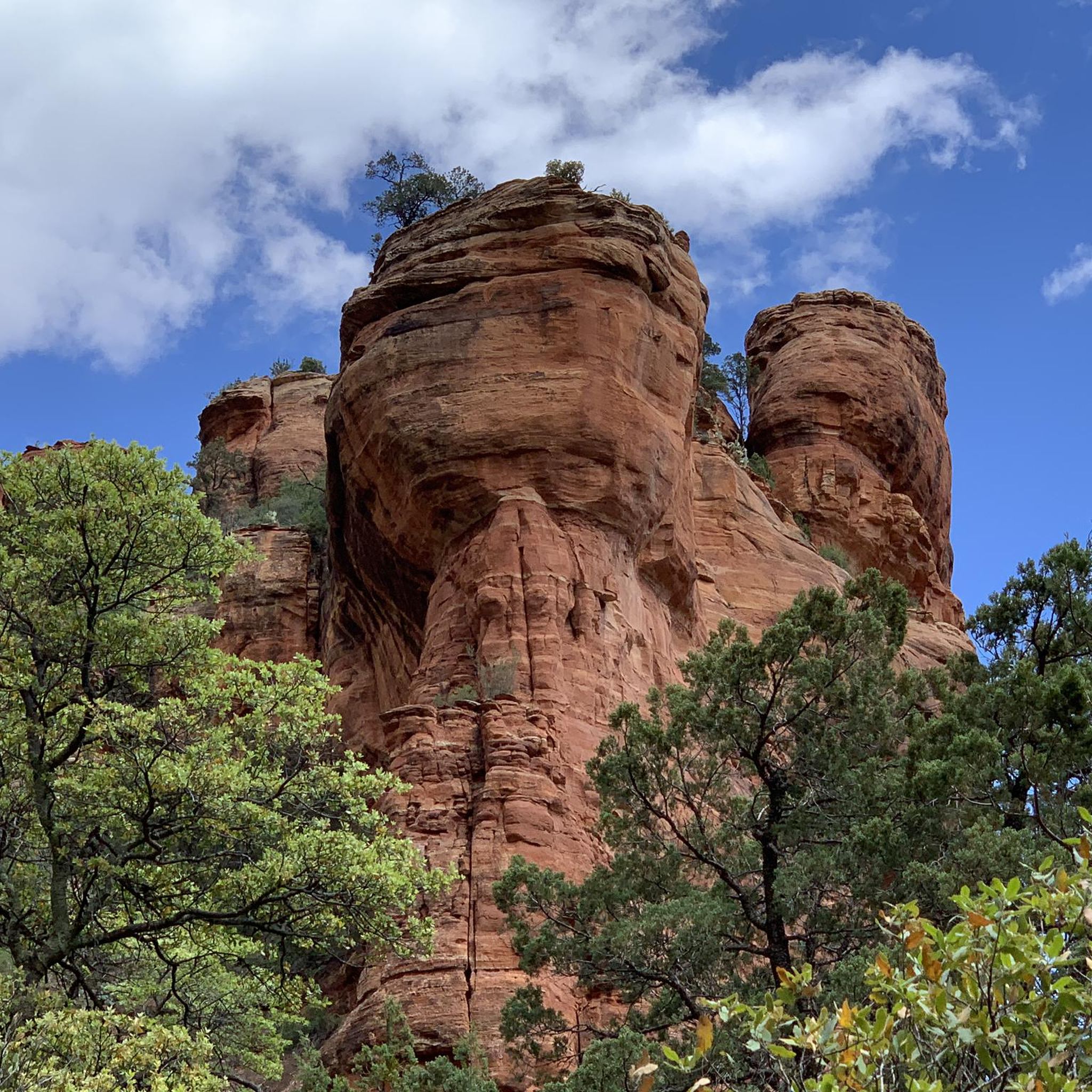
Hiking in the Mollogon Rim
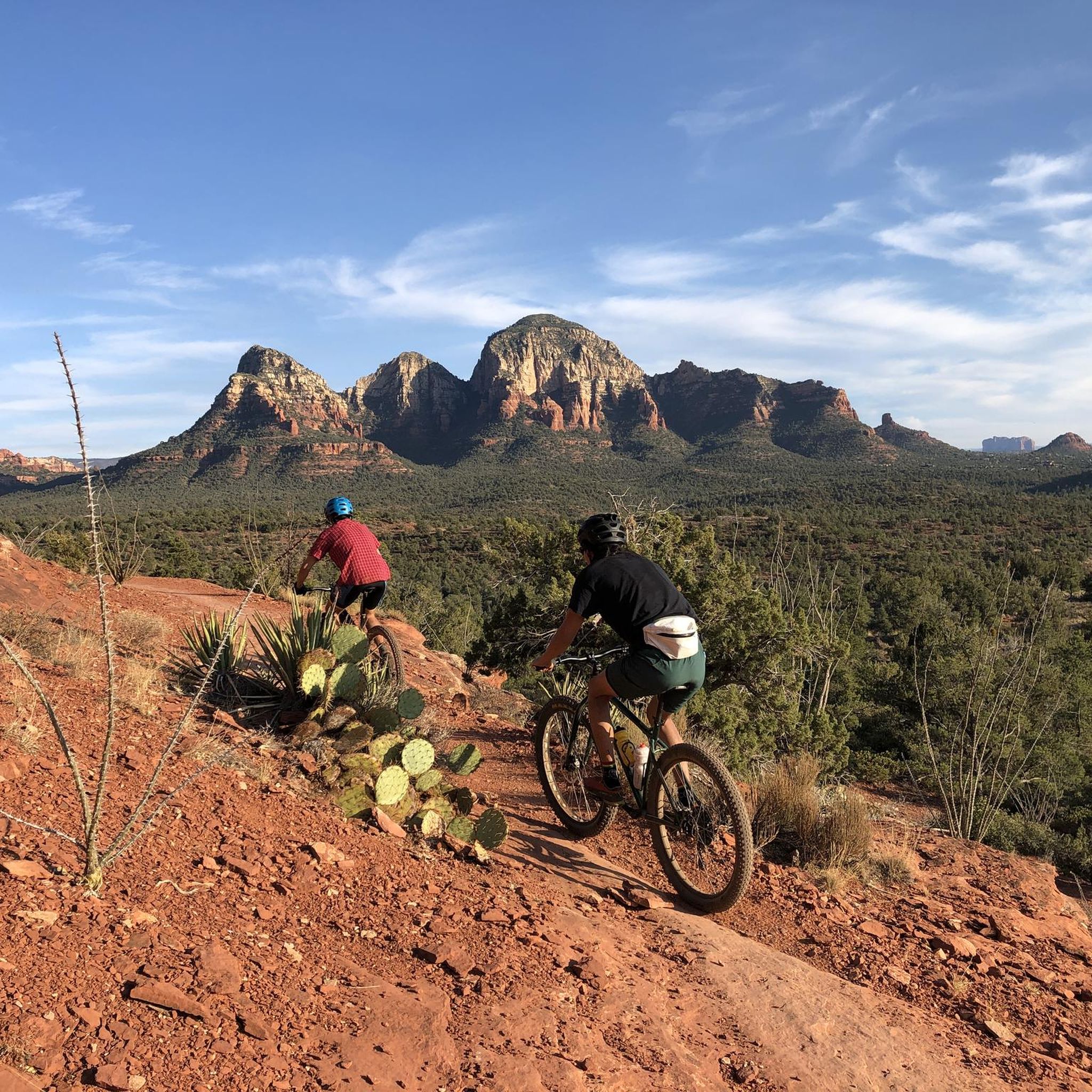
MTB Trails in the Mollogon Rim
Other adventures in the Mollogon Rim


Tips from the Community


Rocky challenges both up and down, you won't get bored on this section!
0
0
Rowdy at times, rocky sections and challenges both up and down.
0
0
Easily accessible from the western car park. Beautiful views of Sedona and the red rock.
0
0
Loved this section, although later in the day it got a little busy with hikers.
0
0

From the first glance at the magnificent red rocks of Sedona, we sense the uniqueness of the place. We make a short stop to look at the rocks.
2
0

This trail follows alongside a large red rock formation known as the Cockscomb. This formation gets its name from its resemblance to a rooster's comb. There are a few unofficial trails that lead into the formation and allow for rock scrambling up it.
0
0

Old Post is a smooth, swooping singletrack trail in the Oak Creek area. There are some rocky sections, but this is about as smooth of a trail as you'll find out here. It connects to a bunch of other paths in the network.
0
0
Frequently Asked Questions
What are some of the most popular mountain biking trails in the Mogollon Rim?
Beyond the well-known trails, riders frequently enjoy Slim Shady Trailhead, which offers a mix of inclines and declines with views of sandstone formations. Another favorite is Broken Arrow Trail, known for its technical spots and rewarding views from the top. For a challenging experience, consider the Hangover Trail.
Are there trails suitable for advanced mountain bikers in the Mogollon Rim?
Yes, the Mogollon Rim offers several challenging routes for experienced riders. The Hangover Trail is known for its demanding terrain. Additionally, sections of the Highline National Recreation Trail and the George Crook Loop feature technical descents, steep climbs, and rough singletrack, providing a significant challenge. The Carr Lake System also hosts competitive races, indicating its suitability for advanced riders.
What is the best time of year to go mountain biking in the Mogollon Rim?
The higher elevations of the Mogollon Rim provide cooler temperatures, making it an excellent escape from the heat, especially during Arizona's summer months. However, be aware that trails can experience closures due to snow in winter and potential wildfire risks during dry seasons. Always check local conditions before planning your ride.
What kind of terrain can I expect on mountain biking trails in the Mogollon Rim?
The Mogollon Rim boasts incredibly diverse terrain. You can expect everything from high desert landscapes to lush mixed-conifer forests with spring-fed creeks. Trails often feature red slickrock sections, challenging singletrack, rough patches with debris, and significant elevation changes, providing a varied and engaging riding experience.
Are there any family-friendly mountain biking options in the Mogollon Rim area?
While many trails in the Mogollon Rim are geared towards intermediate to advanced riders, some sections or shorter loops can be more accessible. The Rim Lake Vista Trail near Woods Canyon Lake offers a scenic loop that might be suitable for families looking for a less technical ride. Always check specific trail descriptions for difficulty ratings to ensure they match your family's skill level.
Can I find trails with good viewpoints in the Mogollon Rim?
Absolutely. Many trails in the Mogollon Rim offer breathtaking viewpoints. For example, the Slim Shady Trailhead provides views of sandstone formations, and the Broken Arrow Trail is highly praised for its great views from the top. The George Crook Loop also features a steep climb to the rim for excellent panoramic vistas.
Are there opportunities for bikepacking in the Mogollon Rim?
Yes, the Mogollon Rim is well-suited for bikepacking. The Highline National Recreation Trail, a 67-mile multi-use trail, can be ridden as a multi-day bikepacking adventure. The Cabin Loop system, including trails like Fred Haught and Houston Brothers, is also highlighted as an 'epic XC loop' suitable for bikepacking trips, allowing riders to immerse themselves in the backcountry.
What other outdoor activities can I do near the bike parks in the Mogollon Rim?
Beyond mountain biking, the Mogollon Rim offers a variety of outdoor activities. You can explore numerous running trails, including popular routes like Devil's Bridge Trail run. There are also scenic waterfall hikes, such as Camp Creek Falls Trail. For a different cycling experience, consider the gravel biking routes available in the region. Find more details in our guides for Running Trails, Waterfall Hikes, and Gravel Biking.
Are there any specific permits or fees required for mountain biking in the Coconino or Tonto National Forests within the Mogollon Rim?
Generally, permits are not required for day-use mountain biking on established trails within the Coconino and Tonto National Forests. However, certain areas or specific activities (like overnight camping or commercial use) might require permits or fees. It's always best to check with the respective National Forest service websites or local ranger stations for the most current regulations before your visit.
What makes the Mogollon Rim a unique mountain biking destination?
The Mogollon Rim stands out due to its remarkable diversity of landscapes, transitioning from high desert to dense pine forests. It offers a challenging riding experience with technical trails and extensive networks, appealing to those seeking adventure. The cooler temperatures at higher elevations provide a welcome escape, and the remote, wild nature of the trails offers a sense of solitude and immersion in nature.
Are dogs allowed on mountain biking trails in the Mogollon Rim?
Many trails within the Coconino and Tonto National Forests allow dogs, typically on a leash. However, specific trail regulations can vary, and some wilderness areas may have restrictions. It's crucial to check the rules for each specific trail or area you plan to visit to ensure it is dog-friendly and to understand any requirements for waste disposal or leash use.
Where can I find information about trail closures or conditions in the Mogollon Rim?
Trail conditions can change due to weather, maintenance, or events like wildfires. For the most up-to-date information on trail closures, snow conditions, or wildfire alerts, it is recommended to consult the official websites of the Coconino National Forest and Tonto National Forest, or contact local ranger districts directly.
Most popular routes in the Mollogon Rim
Most popular attractions in the Mollogon Rim

Get inspired with the komoot mobile app


Explore more
Still looking for your perfect bike park? Check out our guides in these places:
