Top 10 Gorges in the Mollogon Rim
Canyons in the Mollogon Rim are prominent geological features marking the southwestern edge of the Colorado Plateau. This escarpment extends approximately 320 kilometers, characterized by limestone and sandstone cliffs and Ponderosa pine forests. The region offers diverse ecosystems and unique natural formations. It is a significant area for outdoor exploration, featuring various canyons formed by erosion and faulting.
Best canyons in the Mollogon Rim
- The most popular canyons is Salt River Canyon - Cibecue Creek Crossing, a canyon that…
Last updated: June 27, 2026
Dry river
Highlight • River
Translated by Google •
Tip by

Salt River Canyon - Cibecue Creek Crossing
Highlight • Canyon
Tip by

Sign up now to discover places like this
Get recommendations on the best single tracks, peaks, & plenty of other exciting outdoor places.
Sign up for free
Mogollon Rim
Highlight • Natural Monument
Tip by

Jacks Canyon Trail
Highlight (Segment) • Trail
Tip by

Hieroglyphics Canyon
Highlight • Canyon
Translated by Google •
Tip by

Loy Canyon Trail
Highlight (Segment) • Trail
Tip by

Water Wheel Falls
Highlight • Waterfall
Tip by

State Route 89A
Highlight (Segment) • Trail
Tip by

Wonder Valley
Highlight • Gorge
Translated by Google •
Tip by

Secret View
Highlight • Viewpoint
Tip by
Start today with a free account
Your next adventure awaits.
Login or Signup
Popular around Mollogon Rim

Grand Enchantment Trail — Slot canyons, spruce peaks & desert solitude

Arizona Trail — A beautiful 800-mile struggle

Bikepack in America's southwest – deserts, cacti and Anasazi culture

The Arizona Trail — From Mexico to Utah in 43 days

Highline National Recreation Trail – The High Road around the Mogollon Rim

Historic Route 66 – curiosities, selfie spots and diners

MTB in cactus country – technical delicacies around Phoenix
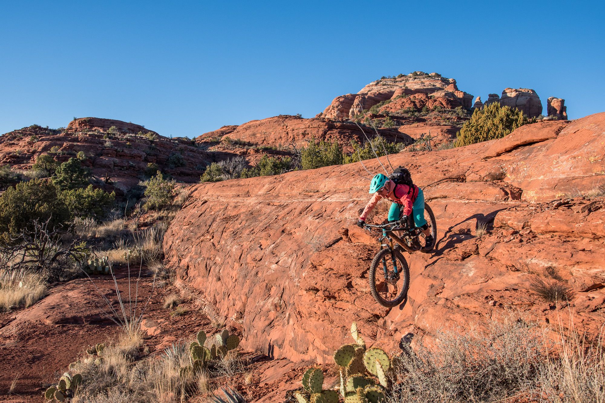
Shred the Red – Mountain biking in Sedona’s MTB hotspot
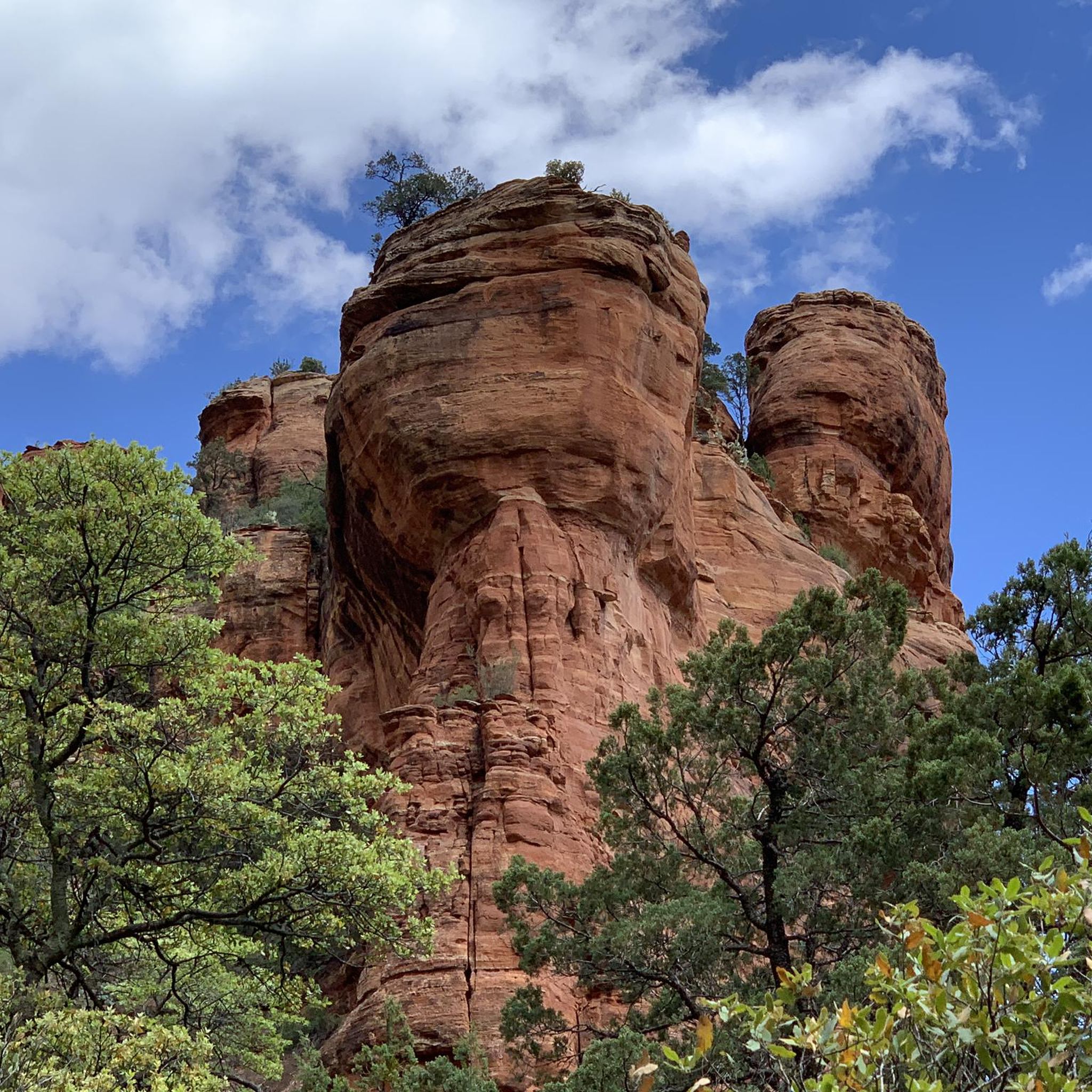
Hiking in the Mollogon Rim
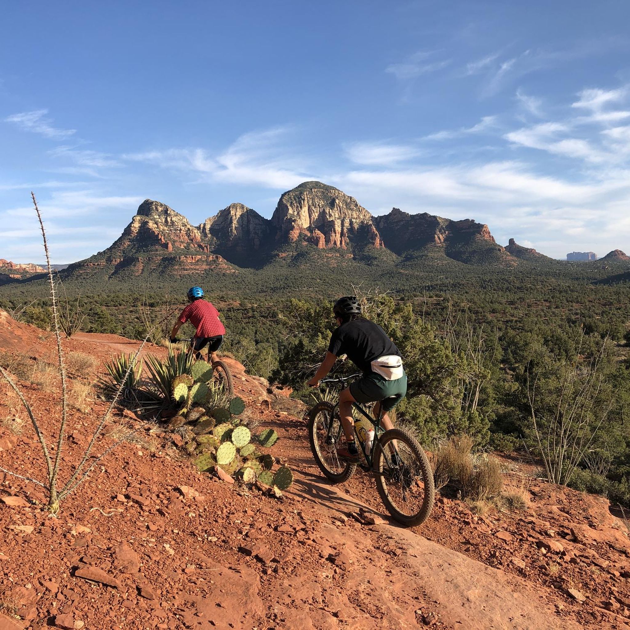
MTB Trails in the Mollogon Rim
Other adventures in the Mollogon Rim


Tips from the Community

The gravel road into Salt River Canyon in the White Mountain Apache Tribal Reservation is a breathtakingly beautiful valley in an otherwise starkly dry and hostile rugged mountain desert. Summer can be extremely hot, fall is comfortable. On AZ-77 / US-60 about 38.2 miles north-east of Globe, after a bridge over the Salt river, immediately make a left turn, there usually are tribal reservation information signs. You can follow the usually well-maintained gravel road about 4.25 miles to where Cibecue Creek flows across the road. If there has not been rain recently upstream, you can push or carry the bike across Cibecue Creek to continue mountain biking further along Salt River on the gravel road/trail, or go canyoneering up into the Cibecue Creek canyon, see https://www.komoot.com/highlight/151959 (Danger: Flash Floods, do not enter if it might have rained in the mountains). A White Mountain Apache Tribal permit is needed to bike or do other recreation here (rafting seems popular). There is a self-registration booth at the turnoff from Hwy 60, but no self-registration envelopes nor staff were available, so better buy permits online before reaching this out-of-phone-signal area: https://wmatoutdoor.org/purchase_permit.html - It asks to create a username/password. Click on Special Use Permit, Black River/Salt River: $30 per person for the Cibecue Falls; $9 for vehicle recreation as of 2025.
0
0


The Jacks Canyon Trail brings hikers through a rocky desert gorge filled with Arizona cypress, catclaw acacia, and banana yucca. Along the trail, watch for desert animals like cottontails, jackrabbits, and Gambel’s quail. Starting near a subdivision, the trail passes through areas affected by the 2006 La Barranca fire and gradually climbs via a dry streambed. It reaches a high saddle with views of the Mogollon Rim and Munds Mountain. A short climb up Munds Mountain Trail rewards hikers with breathtaking panoramas of Sedona’s red rock formations and the distant San Francisco Peaks. Open year-round, it’s best explored from March to November during cooler times.
0
0

Continue off trail along the cliff, through the vegetation and you will discover this beauty… really worth the little detour.
1
0
Very pretty place, and many birds come to drink in the puddles of water that can remain.
0
0

This trail is a fantastic path that runs along a dry creek bed and dates back to 1880, named after Samuel Loy, who ran cattle along this route to pastures along the canyon's rim. As you explore, you'll encounter plenty of Steller's jays, whose bright blue colors are a gorgeous contrast to Sedona's quintessential iconic red rock formations. There are plenty of smaller natural rock sculptures along the trail, ideal for several options to stop for a picnic and take in the stunning views.
0
0

State Route 89A stretches 84 miles from Prescott to Flagstaff, showcasing some of Arizona's most picturesque landscapes. The route gracefully meanders over Mingus Mountain and weaves through the scenic Oak Creek Canyon.
0
0

As the trail follows the East Verde River, you can see some beautiful gorges and cascades. The trail gets less defined at this point, but if you want to continue, there is a path that follows the Ellison River to a larger cascade and swimming hole. Just remember to be careful and watch out for slippery rocks!
0
0
Frequently Asked Questions
What types of canyons can I explore in the Mogollon Rim region?
The Mogollon Rim offers a diverse range of canyons. You can find technical slot canyons like Insomnia, Barney Spring, and Immaculate Canyons for experienced canyoneers, remote watery playgrounds such as Fossil Creek Canyon and West Clear Creek Canyon, and scenic hiking canyons like Pine Canyon and See Canyon. The region also features unique geological formations and areas recovering from wildfires, offering varied experiences.
What is the best time to visit the canyons in the Mogollon Rim?
The best time to visit depends on your planned activity. For enjoying fall colors, See Canyon is particularly scenic during autumn. Summer can be extremely hot, especially in areas like Salt River Canyon - Cibecue Creek Crossing, so spring and fall are generally more comfortable for hiking. Always check weather and trail conditions before heading out.
Are there family-friendly canyons or trails in the Mogollon Rim?
Yes, there are options suitable for families. While some canyons are rugged, trails like Loy Canyon Trail are marked as family-friendly. When exploring, always use caution, especially near drop-off areas like Devil's Kitchen Sinkhole, and keep an eye on children.
What natural features can I expect to see in the Mogollon Rim canyons?
You'll encounter dramatic cliffs of limestone and sandstone, dense Ponderosa pine forests, and diverse ecosystems. Specific features include travertine dams and waterfalls in Fossil Creek Canyon, unique pink rock formations in Pink Canyon, and crisp, clear swimming holes in West Clear Creek Canyon. Many canyons also offer impressive views of the Mogollon Rim itself.
Are there any canyons with historical or cultural significance?
Hieroglyphics Canyon is a notable natural monument in the region, suggesting historical significance through its name. While the guide doesn't detail specific cultural sites within other canyons, the Mogollon Rim itself is a historically significant geological formation.
What are the permit requirements for visiting certain canyons?
Some popular areas require permits. For instance, visiting Fossil Creek Canyon often requires a permit during certain times of the year. For Salt River Canyon - Cibecue Creek Crossing, a White Mountain Apache Tribal permit is needed for biking or other recreation. It's advisable to check permit requirements in advance, especially for remote or protected areas.
Are there opportunities for swimming or water activities in the canyons?
Absolutely. Fossil Creek Canyon is known as a 'remote watery playground' with warm, mineral-rich waters and travertine dams perfect for swimming. West Clear Creek Canyon offers 'crisp, clear swimming holes' after a short descent from the rim. Pink Canyon also features cascades and water features, though navigation can be more challenging.
What outdoor activities can I do near the Mogollon Rim canyons?
Beyond canyon exploration, the Mogollon Rim area offers various outdoor activities. You can find excellent cycling routes, such as those mentioned in the Cycling in the Mollogon Rim guide, including the Red Rock Scenic Byway. There are also numerous running trails, like those in the Running Trails in the Mollogon Rim guide, and gravel biking opportunities, as detailed in the Gravel biking in the Mollogon Rim guide.
What do visitors enjoy most about the Mogollon Rim canyons?
Visitors appreciate the stunning natural beauty, the dramatic geological formations, and the diverse recreational opportunities. Many enjoy the rugged, off-the-beaten-path experiences offered by canyons like Dirtyneck Canyon, the unique aquatic environments of Fossil Creek, and the panoramic views from various points along the Rim. The chance to see diverse wildlife and lush riparian areas also adds to the appeal.
Are there any challenging canyons for experienced hikers or canyoneers?
Yes, the Mogollon Rim is home to several challenging options. Hieroglyphics Canyon is described as a challenging route. For those seeking technical canyoneering, Insomnia Canyon, Barney Spring Canyon, and Immaculate Canyon feature narrow Coconino sandstone slots, rappelling opportunities, and pools of water, requiring appropriate skills and equipment.
Where can I find scenic viewpoints of the Mogollon Rim and its canyons?
The Mogollon Rim itself offers magnificent canyon views from various points, especially along Forest Road 300, also known as Rim Road. Trails like Jacks Canyon Trail provide views of the Mogollon Rim and distant red rock formations. The Mogollon Rim highlight itself is a prime viewpoint.
Most popular routes in the Mollogon Rim
Most popular attractions in the Mollogon Rim

Get inspired with the komoot mobile app


Explore more
Already discovered everything in this region? See additional gorges in the Mollogon Rim for your next adventure:
