Top 20 Natural Monuments in the Mollogon Rim
Natural monuments in the Mollogon Rim are found along a prominent geological escarpment stretching approximately 200 miles across northern Arizona. This feature marks the southwestern edge of the Colorado Plateau, characterized by high cliffs of limestone and sandstone. Elevations can reach about 8,000 feet above sea level, supporting extensive Ponderosa pine forests. The region serves as a significant floristic and faunal boundary, hosting diverse species.
Best natural monuments in the Mollogon Rim
- The most popular natural monuments is Devil's Kitchen…
Last updated: June 26, 2026
Subway Cave and Ruins — Boynton Canyon
Highlight • Cave
Tip by

Courthouse Rock
Highlight • Natural Monument
Tip by

Sign up now to discover places like this
Get recommendations on the best single tracks, peaks, & plenty of other exciting outdoor places.
Sign up for free
Devil's Bridge
Highlight • Natural Monument
Tip by

Cathedral Rock Trail
Highlight (Segment) • Trail
Tip by
Seven Sacred Pools
Highlight • Natural Monument
Tip by
Sugarloaf Summit
Highlight • Summit
Tip by
Coffee Pot Rock
Highlight • Natural Monument
Tip by
Soldier Pass Cave
Highlight • Cave
Tip by
Chimney Rock
Highlight • Natural Monument
Tip by
Chicken Point
Highlight • Viewpoint
Tip by

Sign up for free to discover even more natural monuments in the Mollogon Rim.
Sign up for free
Already have an account?
Start today with a free account
Your next adventure awaits.
Login or Signup
Popular around Mollogon Rim

Grand Enchantment Trail — Slot canyons, spruce peaks & desert solitude

Arizona Trail — A beautiful 800-mile struggle

Bikepack in America's southwest – deserts, cacti and Anasazi culture

The Arizona Trail — From Mexico to Utah in 43 days

Highline National Recreation Trail – The High Road around the Mogollon Rim

Historic Route 66 – curiosities, selfie spots and diners

MTB in cactus country – technical delicacies around Phoenix
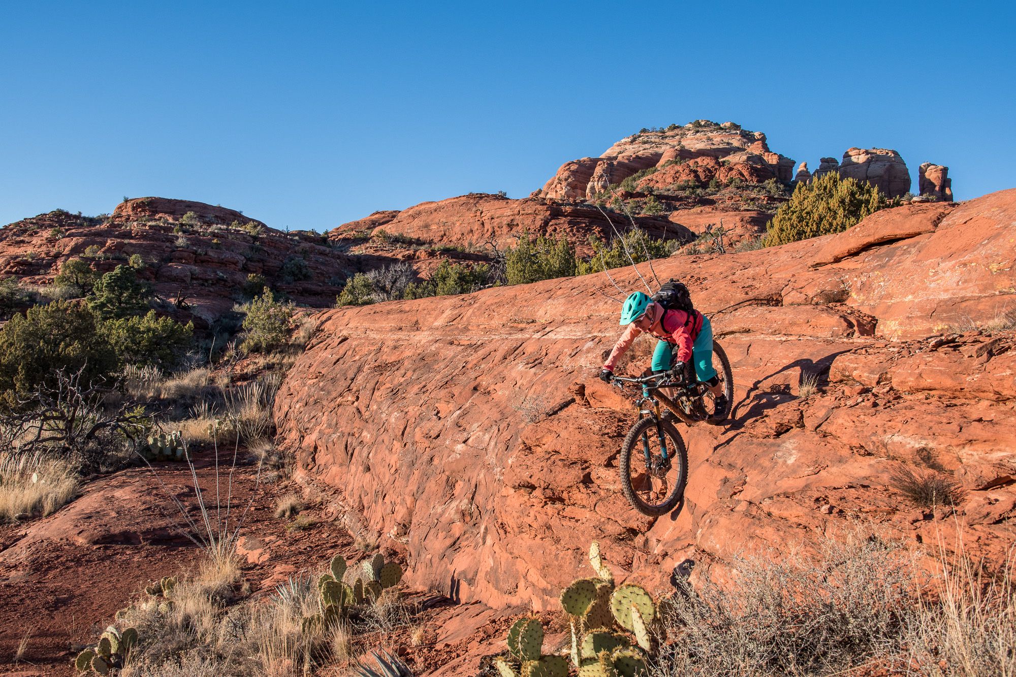
Shred the Red – Mountain biking in Sedona’s MTB hotspot
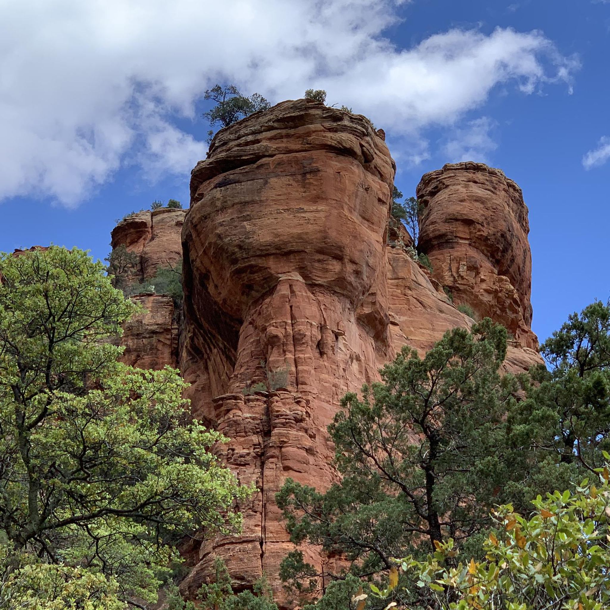
Hiking in the Mollogon Rim
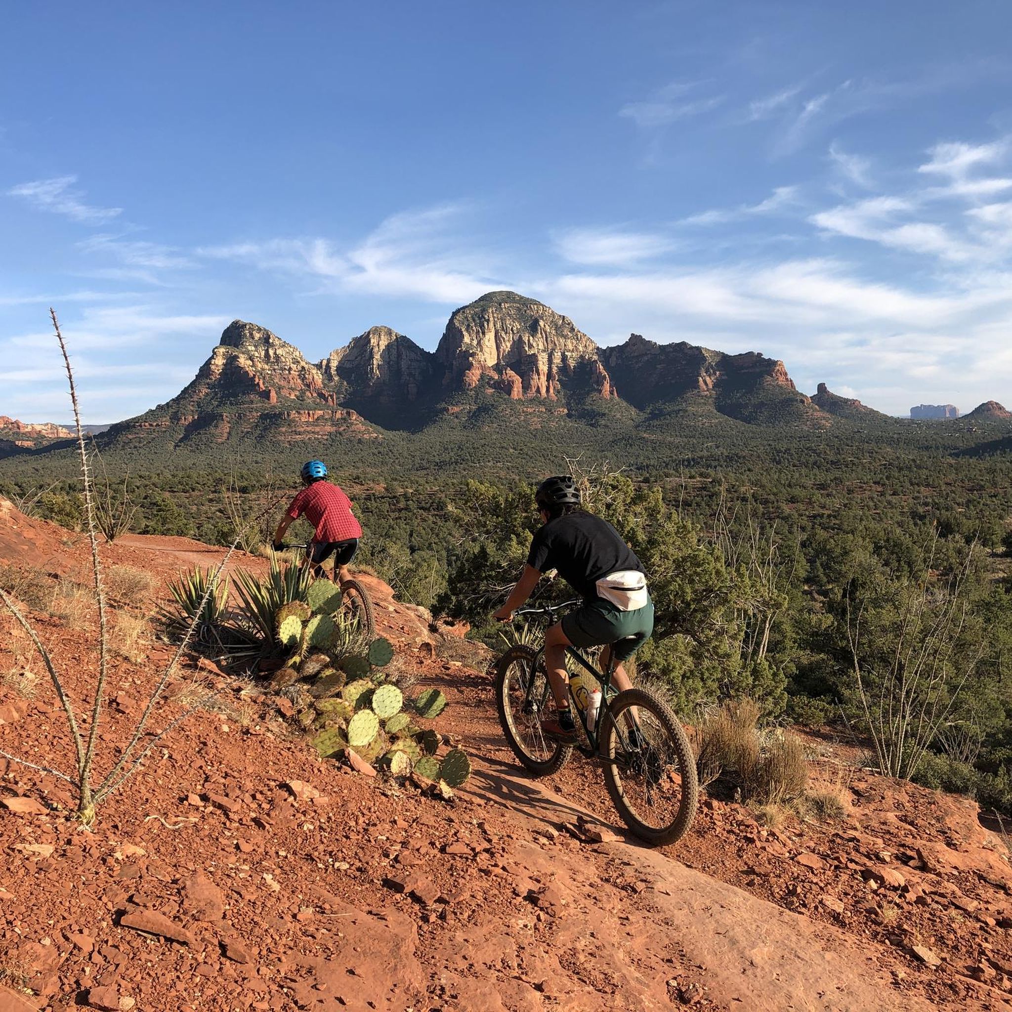
MTB Trails in the Mollogon Rim
Other adventures in the Mollogon Rim


Tips from the Community

There are two ways to get up to the Subway Cave: one is easier, but goes along a narrow cliff. The more direct approach is more technical, going up the direct slope, but also less scary if you're not good with heights.
0
0
Quite challenging but rewarding hike. Expect a lot of scrambling and crab-walking.
0
0

Spectacular views requiring only a brief hike either from Chapel Rd or Little Horse trailhead parking areas. Visit early though due to limited parking.
1
0

I recommend doing this summit to watch the sunrise, enjoying a 360-degree panorama. About thirty minutes from the Surgarloaf trailhead, bring a headlamp and go up when it is dark, because the show starts at first light, symphonies of color. A must do if you are staying in Sedona.
0
0


The Subway Cave is a remarkable slot-like natural rock formation and is often considered a "secret spot" due to its location; however, you will likely encounter plenty of other visitors here. Reaching this location requires a short scramble, but the breathtaking views of the surrounding red rock landscape make it well worth the effort.
0
0

Great place, awesome views...Watch my trail including the missing path to Cathedral Rock from south
0
1

Frequently Asked Questions
What are some of the most unique natural monuments to explore in the Mogollon Rim?
The Mogollon Rim offers a variety of unique natural monuments. You can visit Subway Cave and Ruins — Boynton Canyon, which features a cave with visible historical ruins. Another fascinating spot is Devil's Kitchen Sinkhole, a massive depression in the earth. For a distinctive rock formation, explore Courthouse Rock, best experienced by walking the approximately 4-mile Courthouse Loop around its base.
Are there any natural bridges or arches in the Mogollon Rim area?
Yes, the Mogollon Rim region is home to the stunning Tonto Natural Bridge State Park, considered a world-famous natural bridge. Additionally, you can find Devil's Bridge, a popular natural arch that offers incredible views after a hike.
What kind of views can I expect from viewpoints along the Mogollon Rim?
The Mogollon Rim offers dramatic and expansive views, with sheer drop-offs that can plunge 2,000 feet, revealing magnificent canyons below. The Rim Lakes Vista Overlook, for example, provides panoramic vistas of the vast escarpment. Other notable viewpoints include Chicken Point, which offers incredible views of red rock formations, and the summit of Coffee Pot Rock.
Are there family-friendly natural monuments or activities in the Mogollon Rim?
Yes, the Mogollon Rim offers several family-friendly options. Woods Canyon Lake is a picturesque alpine lake perfect for fishing, kayaking, and picnicking. The Woods Canyon Lake Trail is a serene 3.7-mile loop suitable for families. While some natural monuments like Devil's Kitchen Sinkhole require caution due to unguarded drop-offs, many areas offer accessible trails and scenic spots for all ages.
What are the best times to visit the natural monuments in the Mogollon Rim?
The Mogollon Rim is an attractive escape during the summer months due to its cooler temperatures compared to lower desert areas. Autumn is also an excellent time to visit, as the landscape transforms into a vibrant tapestry of colors. These seasons offer pleasant weather for exploring the natural monuments and engaging in outdoor activities.
What outdoor activities can I do near the natural monuments in the Mogollon Rim?
The Mogollon Rim is a paradise for outdoor enthusiasts. You can enjoy extensive hiking trails, with options ranging from easy to challenging, such as the Devil's Bridge from Chuck Wagon Trail or the Boynton Canyon Trail. Mountain biking is also popular, with routes like Hiline – MTB Trails in Sedona. Road cycling routes, like the Red Rock Loop Road, are also available. Additionally, the area is great for camping, bird watching, and wildlife photography.
Are there any historical or cultural sites among the natural monuments?
Yes, the Mogollon Rim area is rich in history. Beyond its natural allure, you can find ancient petroglyphs and ruins scattered throughout the region, offering a glimpse into Native American heritage. Subway Cave and Ruins — Boynton Canyon is a prime example, featuring well-preserved ruins visible near the cave entrance.
What are some notable lakes in the Mogollon Rim area?
The Mogollon Rim boasts several pristine mountain lakes. Woods Canyon Lake is a popular destination for recreation. Other notable lakes in the area include Bear Canyon Lake, Knoll Lake, Willow Springs Lake, and Blue Ridge Reservoir, all popular for fishing, paddling, and seeking seclusion.
What is the General Crook Trail and where can I find it?
The General Crook Trail (Trail No. 130) is a historic 82.6-mile multi-use trail that runs along the Mogollon Rim. It offers diverse scenery, including forests, high desert terrain, sweeping rim views, and historical markers, connecting the towns of Pine and Christopher Creek.
What is the difficulty level of hiking trails to natural monuments in the Mogollon Rim?
Hiking trails to natural monuments in the Mogollon Rim vary in difficulty. Some, like the Cathedral Rock Trail, are challenging, involving significant rock climbing and a 200-meter ascent over just one kilometer. Others, like the Courthouse Loop around Courthouse Rock, are intermediate with fewer ascents. Always check specific trail details before heading out.
Can I drive along the Mogollon Rim to see natural monuments?
Yes, the Rim Road (Forest Road 300) is a 45-mile stretch of dirt road that follows the top edge of the Mogollon Rim. This scenic drive provides access to numerous viewpoints and recreational areas, allowing visitors to explore hiking trails with vast views along the way.
What kind of wildlife can I expect to see in the Mogollon Rim?
The Mogollon Rim is a major floristic and faunal boundary, hosting diverse species. The region is home to a variety of wildlife, including elk, deer, and numerous bird species, making it an excellent area for wildlife viewing and photography.
Most popular routes in the Mollogon Rim
Most popular attractions in the Mollogon Rim

Get inspired with the komoot mobile app


Explore more
Extend your search for the best caves by checking out these guides of the top ones in the Mollogon Rim:
