The 20 Most Amazing Peaks in the Mollogon Rim
Best mountain peaks in the Mollogon Rim stretch across approximately 200 miles of northeastern Arizona, forming a dramatic escarpment. This region is characterized by dense pine forests and a variety of outdoor activities. The Mollogon Rim features impressive limestone and sandstone cliffs, offering numerous scenic overlooks and trails. It is a significant geographical feature known for its diverse natural landscape.
Best mountain peaks in the Mollogon Rim
- The most popular mountain peaks is Coffee Pot Rock, a natural monument…
Last updated: July 1, 2026
Sugarloaf Summit
Highlight • Summit
Tip by

Coffee Pot Rock
Highlight • Natural Monument
Tip by

Sign up now to discover places like this
Get recommendations on the best single tracks, peaks, & plenty of other exciting outdoor places.
Sign up for free
Baby Bell Rock
Highlight • Viewpoint
Tip by
Picket Post Mountain & Trailhead
Highlight • Summit
Tip by
View from Flatiron Summit
Highlight • Summit
Tip by

Bear Mountain Summit
Highlight • Summit
Tip by
South Cat Peak
Highlight • Summit
Tip by

Mogollon Rim
Highlight • Natural Monument
Tip by
Wilson Mountain Overlook
Highlight • Viewpoint
Tip by
Weaver's Needle
Highlight • Natural Monument
Tip by

Sign up for free to discover even more peaks in the Mollogon Rim.
Sign up for free
Already have an account?
Start today with a free account
Your next adventure awaits.
Login or Signup
Popular around Mollogon Rim

Grand Enchantment Trail — Slot canyons, spruce peaks & desert solitude

Arizona Trail — A beautiful 800-mile struggle

Bikepack in America's southwest – deserts, cacti and Anasazi culture

The Arizona Trail — From Mexico to Utah in 43 days

Highline National Recreation Trail – The High Road around the Mogollon Rim

Historic Route 66 – curiosities, selfie spots and diners

MTB in cactus country – technical delicacies around Phoenix
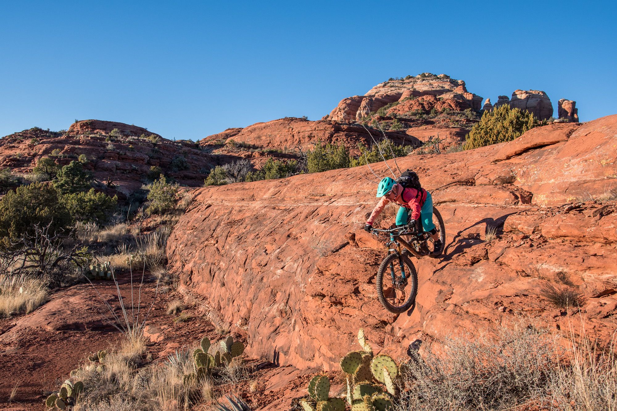
Shred the Red – Mountain biking in Sedona’s MTB hotspot
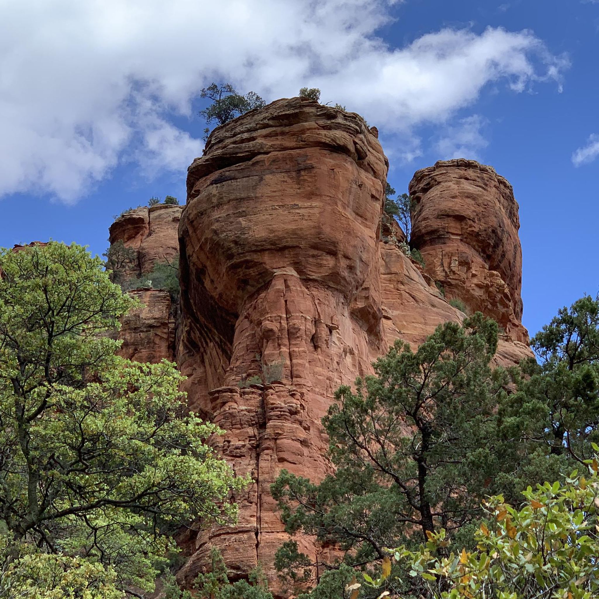
Hiking in the Mollogon Rim
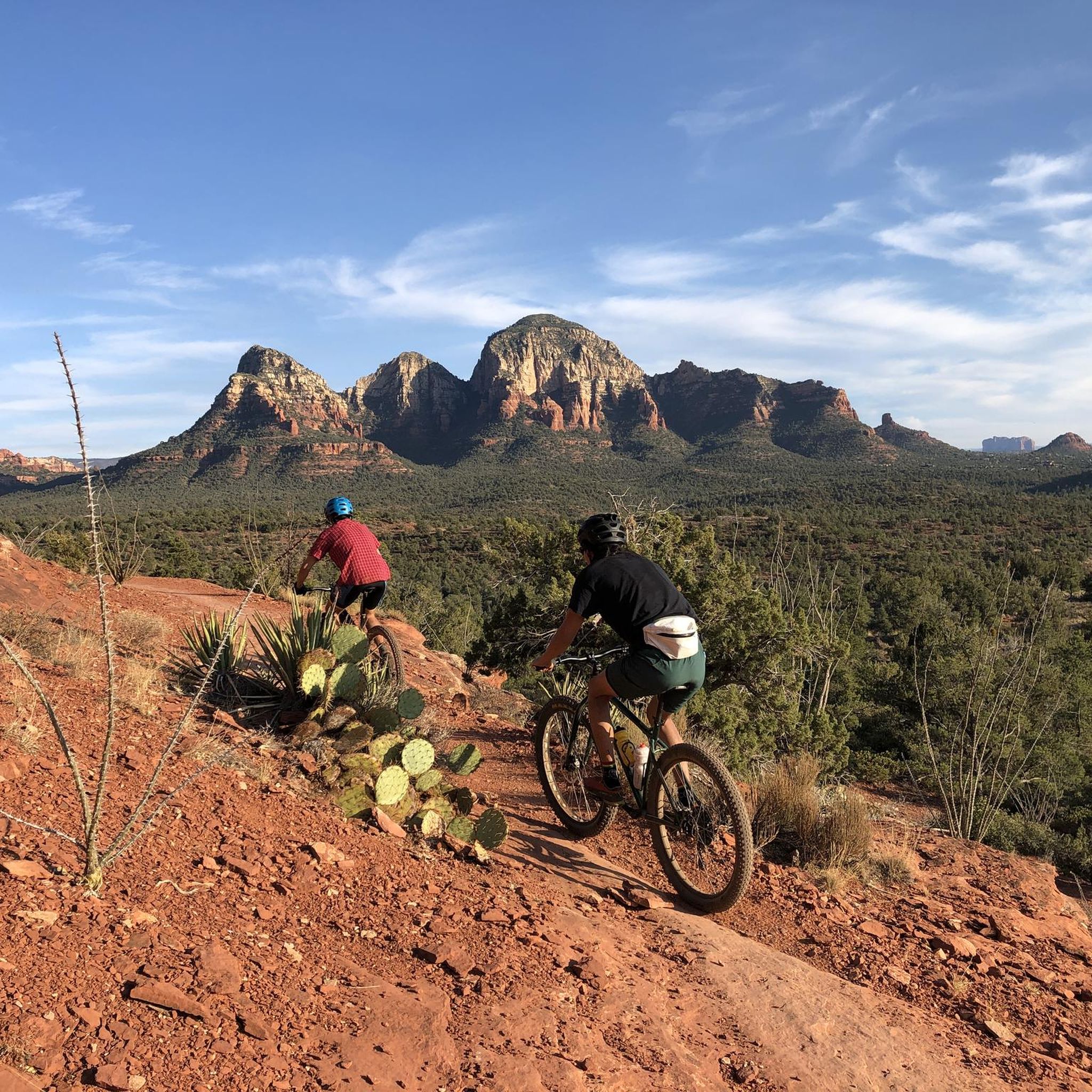
MTB Trails in the Mollogon Rim
Other adventures in the Mollogon Rim


Tips from the Community

Start early to take advantage of the shade in the valley. Be prepared for a lot of rock scrambles in the later half of the route. Also most of the elevation gain in the back section. I would recommend hiking (I use cheap weight lifting) gloves. All that said, the effort is well worth it. The views up and down are phenomenal. And if you go on the weekend look for Flatiron Jim
0
0

I recommend doing this summit to watch the sunrise, enjoying a 360-degree panorama. About thirty minutes from the Surgarloaf trailhead, bring a headlamp and go up when it is dark, because the show starts at first light, symphonies of color. A must do if you are staying in Sedona.
0
0

The baby version of the Bell Rock is certainly not quite as impressive as the big brother, but even the view over Sedona is worth the short detour to the short circular route.
0
0

The trail up Sugarloaf Summit is one of the most popular trails in Sedona. The views from the top stretch out over Sedona and the Munds Mountain Wilderness off in the distance.
0
0
Coffee Pot Rock is the highest point in town, leading some locals to claim that it has energy releasing powers. Once you are near this feature, there are various side trails and routes that climb around the outcrop.
0
0
Reaching up to 6,447 feet, Bear Mountain is a secluded peak offering sweeping views in the Red Rock-Secret Wilderness within Coconino National Forest. There are so many other trails in the wilderness that draw crowds, while this summit usually offers a little more solitude. You have to work for the peak, though!
0
0

Created by a thick layer of volcanic ash, Weaver's Needle is a 1000-foot distinctive peak visible for miles around and set in a picturesque desert landscape.
0
0

Reaching the top of South Cat Peak above Apache Junction treats mountain bikers to serene desert panoramas after a moderate ride up the trail. Challenge yourself pedaling over rocky inclines before stopping at a peaceful summit bench to soak in 360 degree views. It's an easy trail most of the way with rewarding vistas at the top.
0
0
Frequently Asked Questions
What are some of the most popular mountain peaks and viewpoints in the Mogollon Rim region?
The Mogollon Rim offers a variety of popular peaks and viewpoints. Among them, Coffee Pot Rock is a natural monument and the highest point in its town, known for its unique formation. Sugarloaf Summit provides panoramic views of Sedona and the Munds Mountain Wilderness, making it a popular short hike. Additionally, Baby Bell Rock offers scenic views over Sedona.
Are there any challenging mountain climbs in the Mogollon Rim area?
Yes, for those seeking a challenge, the View from Flatiron Summit requires basic rock climbing skills and scrambling, rewarding climbers with breathtaking views of the Superstition Wilderness. Mount Baldy, the second-highest peak in Arizona, also offers challenging trails with significant elevation gain, though access to its summit requires permission from the White Mountain Apache Tribe.
What kind of natural features can I expect to see when visiting the Mogollon Rim's peaks?
The Mogollon Rim is characterized by dramatic limestone and sandstone cliffs, dense pine forests, and diverse landscapes. Peaks like Mount Baldy feature lush forests, alpine meadows, and pristine lakes, serving as headwaters for the Salt River. The region is rich in biodiversity, offering opportunities for wildlife sightings, including deer, elk, and various bird species. Many peaks also provide expansive viewpoints over forested valleys and distant mountain ranges.
What outdoor activities are available year-round at the mountain peaks in the Mogollon Rim?
Sunrise Park Resort, encompassing Sunrise Peak, Cyclone Circle, and Apache Peak, is a prime destination for year-round activities. In winter, it's Arizona's largest ski area, offering skiing, snowboarding, sledding, and cross-country skiing. During summer, the resort transforms to provide downhill mountain biking, scenic chairlift rides, zip-lining, a tubing hill, a rock climbing wall, and archery courses, making it a cool escape from the desert heat.
Are there family-friendly hiking options around the Mogollon Rim peaks?
While many peaks offer challenging routes, the Mogollon Rim itself provides numerous scenic overlooks and trails suitable for families. Areas like Rim Lakes Vista offer accessible, paved trails with incredible views. For specific peaks, shorter, less strenuous options or scenic viewpoints like Baby Bell Rock can be enjoyed by families.
What are some of the historical or cultural aspects associated with the Mogollon Rim's mountains?
Mount Baldy holds significant cultural importance as a sacred mountain, known as Dzil Ligai ('White Mountain'), to the White Mountain Apache people. They consider it a source of life and home to mountain spirits. Additionally, Picket Post Mountain is named after a former military post located at its foot, adding a historical layer to its natural appeal.
What kind of hiking trails can I find near the Mogollon Rim mountain peaks?
The Mogollon Rim offers a wide range of hiking experiences. You can find trails leading to natural monuments like Coffee Pot Rock or panoramic viewpoints such as Sugarloaf Summit. For more specific adventures, explore the waterfall hikes in the Mogollon Rim, which include routes like Camp Creek Falls Trail and Massacre Falls Trail.
Are there opportunities for cycling near the mountain peaks of the Mogollon Rim?
Yes, the region provides excellent opportunities for cycling. You can discover various road cycling routes in the Mogollon Rim, such as the scenic Dry Creek Road to Long Canyon Road, or the Red Rock Loop Road. For mountain biking enthusiasts, there are challenging MTB trails in the Mogollon Rim, including the Hiline and Hangover trails in Sedona.
What do visitors particularly enjoy about the mountain peaks in the Mogollon Rim?
Visitors frequently praise the breathtaking panoramic views from summits like Sugarloaf Summit, especially at sunrise. The sense of accomplishment from challenging climbs, such as to the View from Flatiron Summit, is also a highlight. Many appreciate the diverse natural beauty, opportunities for photography, and the cool escape from Arizona's heat offered by the high-elevation settings.
Where can I find a trail register or facilities near the mountain trails?
At the base of Picket Post Mountain, you'll find a trailhead that includes a trail register and toilets. This location also serves as a starting point for a section of the Arizona Trail.
What is the best time to visit the Mogollon Rim peaks for hiking?
The Mogollon Rim offers a pleasant escape from the heat during warmer months due to its higher elevation. Spring and fall generally provide ideal hiking conditions with milder temperatures and clear skies. For challenging climbs like the View from Flatiron Summit, starting early in the morning is recommended to take advantage of shade and avoid the midday sun.
Are there any unique or hidden gem mountain peaks in the Mogollon Rim?
While not a hidden gem in terms of obscurity, Coffee Pot Rock is considered by some locals to have 'energy releasing powers' and is the highest point in its town, offering a unique experience. The Mogollon Rim itself, with its vast wilderness, also features numerous trails that follow streams and lead to springs and waterfalls, showcasing surprisingly lush environments that can feel like hidden discoveries.
Most popular routes in the Mollogon Rim
Most popular attractions in the Mollogon Rim

Get inspired with the komoot mobile app


Explore more
See even more amazing summits in the Mollogon Rim with these guides:
