The best city hikes and walks around Regentalaue zwischen Cham und Pösing
4.5
(2518)
10,132
hikers
36
hikes
Urban hiking trails around Regentalaue zwischen Cham und Pösing traverse a significant natural area in the Upper Palatinate, characterized by the river valley and floodplain of the Regen river. This landscape features extensive meadows, a mosaic of ponds, wet meadows, and oxbow lakes. The region is recognized for its biodiversity, offering varied habitats for numerous species. Elevations are generally low, with routes primarily following the flat terrain of the river valley.
Best urban hiking trails around Regentalaue zwischen Cham und…
Last updated: July 12, 2026
5.0
(1)
22
hikers
4.72km
01:14
30m
30m
Easy hike. Great for any fitness level. Easily-accessible paths. Suitable for all skill levels.
5.0
(1)
17
hikers
4.70km
01:14
30m
30m
Easy hike. Great for any fitness level. Easily-accessible paths. Suitable for all skill levels.

Sign up for free
5.0
(1)
13
hikers
4.83km
01:15
30m
30m
Easy hike. Great for any fitness level. Easily-accessible paths. Suitable for all skill levels.
9
hikers
7.98km
02:03
30m
30m
Moderate hike. Good fitness required. Easily-accessible paths. Suitable for all skill levels.
5.0
(1)
9
hikers
Easy hike. Great for any fitness level. Easily-accessible paths. Suitable for all skill levels.
Get access to more routes and recommendations from other explorers.
Sign up for free
Already have an account?
Our route recommendations are based on thousands of hikes, rides, and runs completed by other people on komoot.
Start today with a free account
Your next adventure awaits.
Login or Signup
Popular around Regentalaue zwischen Cham und Pösing
Other adventures around Regentalaue zwischen Cham und Pösing

Tips from the Community

the colorful statues of Luckner are distributed throughout the entire city center
0
0
The church on the market square is of Romanesque origin. Its foundations in massive rubble masonry and also the substructures of the towers date back to the 13th century. The northern tower was not completed, but connected to the town hall. The recessed choir was built between 1394 and 1411. The Gothic, twice-stepped buttresses have been preserved. The nave originally had six bays. In 1894/95 it was extended by two bays to the west. The three doors were created around 1700. On the south side of the choir, a life-size painting by the local painter Georg Achtelstetter depicts the church patron James the Elder.
0
0
The historic Old Town Hall in Cham's old town (directly on the market square) dates back in its oldest parts to the 13th and 14th centuries. Together with the neighboring St. James' Church, it forms one of the most beautiful medieval architectural ensembles in the Upper Palatinate. The long hall on the first floor is used for meetings and cultural events. On the ground floor, there is now a café that invites you to linger on the market square.
0
0

Beautiful bridge decoration
0
0

An impressive monastery here.
2
0

The town hall dates back to at least the first half of the 15th century. The eastern, older part faces the market square with its gable end and, together with the Gothic choir of the adjoining St. James' Church, forms a beautiful ensemble of medieval architecture – one of the most beautiful in the Upper Palatinate.
6
0
It is the only one of the original four city gates still standing. It was originally called the Castle Gate, as the Cham Castle stood on the site of the adjacent old building. However, after it lost its former function, an electoral brewery for wheat beer was established here in 1642. Thus, the Castle Gate became popularly known as the "Beer Gate." Its squat shape with its massive round towers and covered pointed arch is reflected in the coat of arms of the city of Cham as a landmark.
5
0
Frequently Asked Questions
How many urban hiking trails are available in Regentalaue zwischen Cham und Pösing?
There are over 35 urban hiking trails in the Regentalaue zwischen Cham und Pösing region. Most of these, 34 to be exact, are rated as easy, making them suitable for a wide range of hikers.
What do other hikers enjoy most about urban hiking in Regentalaue zwischen Cham und Pösing?
The urban hiking trails in Regentalaue zwischen Cham und Pösing are highly rated by the komoot community, with an average score of 4.5 stars from over 2500 ratings. Hikers often praise the diverse landscapes, the opportunity to observe abundant birdlife, and the well-maintained paths that offer a mix of natural beauty and historical sights.
Are there circular urban hikes in the area?
Yes, many of the urban hikes in Regentalaue zwischen Cham und Pösing are circular, allowing you to start and end at the same point. For example, the Cham Market Square – Biertor, Cham loop from Cham (Oberpf) is a popular circular route that takes you through the town and along the river.
Can I bring my dog on urban hikes in Regentalaue zwischen Cham und Pösing?
Yes, dogs are generally welcome on the urban hiking trails. However, as the Regentalaue is a significant nature reserve and bird sanctuary, it is crucial to keep dogs on a leash at all times, especially during breeding and rearing seasons, to protect the sensitive wildlife.
What kind of wildlife and flora can I expect to see on these urban hikes?
The Regentalaue is a biodiversity hotspot, home to over 1,000 animal species and 550 to 600 plant species. You can expect to see a rich variety of birdlife, including endangered meadow breeders, especially near the river and oxbow lakes. The landscape features extensive meadows, floodplain forests with alder and willow, and a mosaic of water bodies.
Are there any urban hiking trails suitable for families with children or beginners?
Absolutely. Most of the urban hikes in this region are rated as easy, making them ideal for families and beginners. Routes like the Meranweg – Regen floodplain near Katzbach loop from Cham offer gentle terrain and manageable distances, perfect for a leisurely family outing.
What historical or cultural sights can I explore along the urban hiking trails?
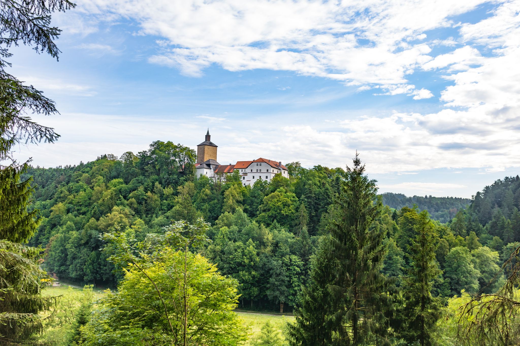
While primarily a natural area, you can encounter historical points of interest. The Biertor, Cham, the only preserved city gate in Cham, is a notable landmark. Some routes might also offer views of Schloss Thierlstein, a 12th-century castle. The Cham Market Square – Biertor, Cham loop from Cham (Oberpf) specifically highlights the Biertor.
Are there any viewpoints or observation towers along the urban hiking routes?
Yes, there is a 15-meter-high Untertraubenbach Observation Tower near Untertraubenbach. It offers panoramic views over the wide river meadows and is integrated into a nature trail, providing an excellent opportunity to observe the landscape and birdlife.
What is the best time of year for urban hiking in Regentalaue zwischen Cham und Pösing?
Spring and autumn are particularly rewarding for urban hiking in the Regentalaue. In spring, you can witness the vibrant awakening of nature and the return of migratory birds. Autumn offers beautiful colors and comfortable temperatures. However, due to the floodplain nature of the area, some paths might be affected by flooding during snowmelt or heavy rains, so it's always good to check local conditions.
Are there any urban hiking paths accessible for wheelchairs or strollers?
The Regentalaue features designated nature trails, and some sections are specifically designed to be suitable for wheelchairs and strollers. These trails often have an audio guide available via the Lauschtour-App, providing an inclusive way to experience the natural beauty of the area.
Where can I find parking for urban hikes in Regentalaue zwischen Cham und Pösing?
Parking is generally available in and around the towns like Cham, which serve as starting points for many urban hikes. Specific parking information can often be found on the individual komoot route pages or local tourist information websites.
Are there cafes or restaurants near the urban hiking routes?
Yes, especially in the larger towns like Cham, you will find various cafes and restaurants where you can enjoy refreshments before or after your urban hike. These establishments offer a chance to experience local cuisine and relax.
Most popular routes around Regentalaue zwischen Cham und Pösing
Most popular attractions around Regentalaue zwischen Cham und Pösing

Get inspired with the komoot mobile app


Explore more
Browse the best Hikes in other regions.
