The best walks and hikes around Regentalaue zwischen Cham und Pösing
4.5
(2545)
10,955
hikers
740
hikes
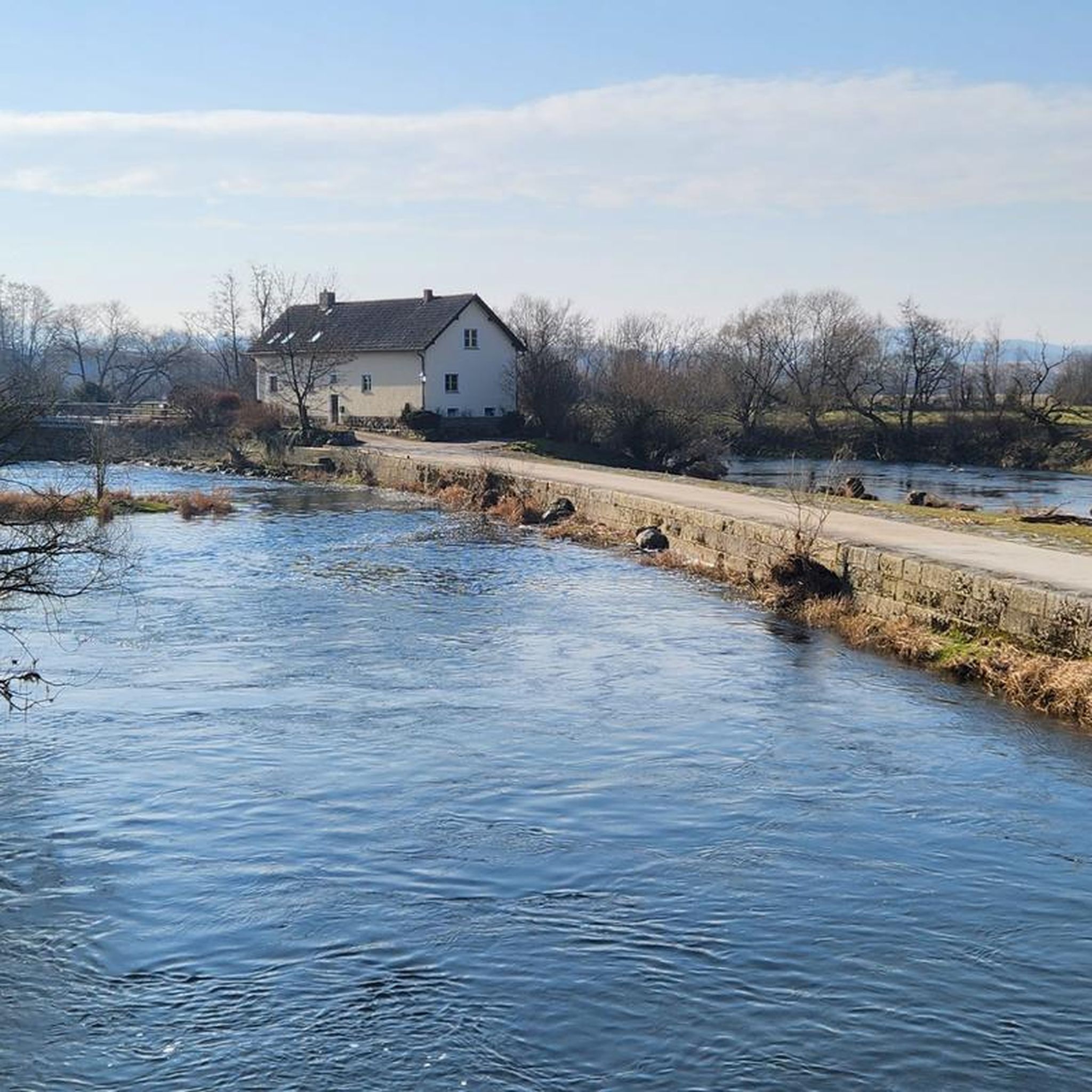
Hiking around Regentalaue zwischen Cham und Pösing offers diverse landscapes within the largest nature reserve in Upper Palatinate, Germany. The region is characterized by its expansive riverine scenery, wetlands, and a mosaic of ponds, wet meadows, and oxbow lakes formed by the meandering Regen River. This varied terrain provides a habitat for a rich biodiversity, making it a significant area for nature observation. The landscape also features alder and willow forests and slight elevations within the alluvial plain.
Best hiking…
Last updated: May 14, 2026
4.6
(21)
111
hikers
6.88km
01:45
10m
10m
Easy hike. Great for any fitness level. Easily-accessible paths. Suitable for all skill levels.
4.6
(43)
136
hikers
5.40km
01:23
20m
20m
Easy hike. Great for any fitness level. Easily-accessible paths. Suitable for all skill levels.

Sign up for free
4.5
(35)
136
hikers
10.7km
02:44
40m
40m
Moderate hike. Good fitness required. Easily-accessible paths. Suitable for all skill levels.
4.7
(16)
46
hikers
Easy hike. Great for any fitness level. Easily-accessible paths. Suitable for all skill levels.
4.6
(14)
36
hikers
Easy hike. Great for any fitness level. Easily-accessible paths. Suitable for all skill levels.
Get access to more routes and recommendations from other explorers.
Sign up for free
Already have an account?
Our route recommendations are based on thousands of hikes, rides, and runs completed by other people on komoot.
Start today with a free account
Your next adventure awaits.
Login or Signup
Popular around Regentalaue zwischen Cham und Pösing
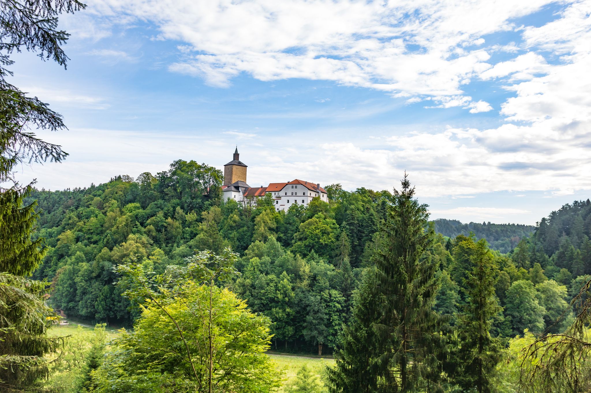
Hiking through history on Germany’s Pandurensteig
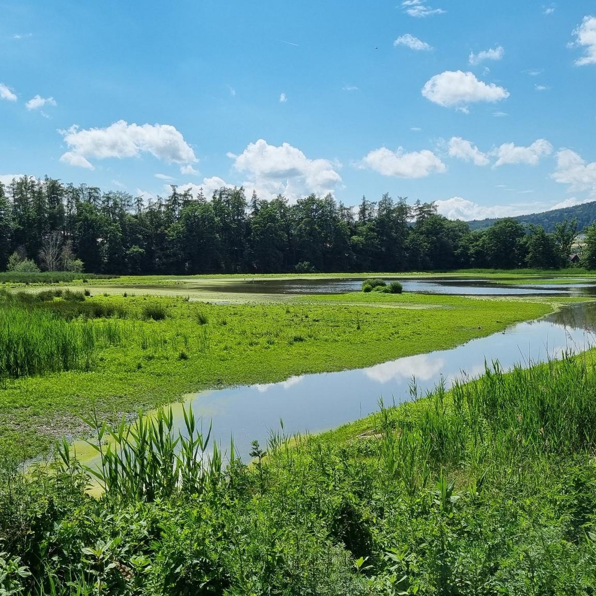
Cycling around Regentalaue zwischen Cham und Pösing
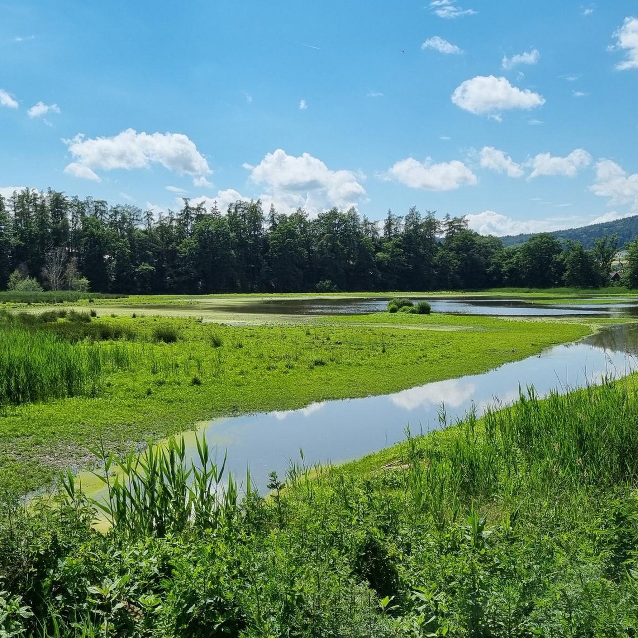
MTB Trails around Regentalaue zwischen Cham und Pösing
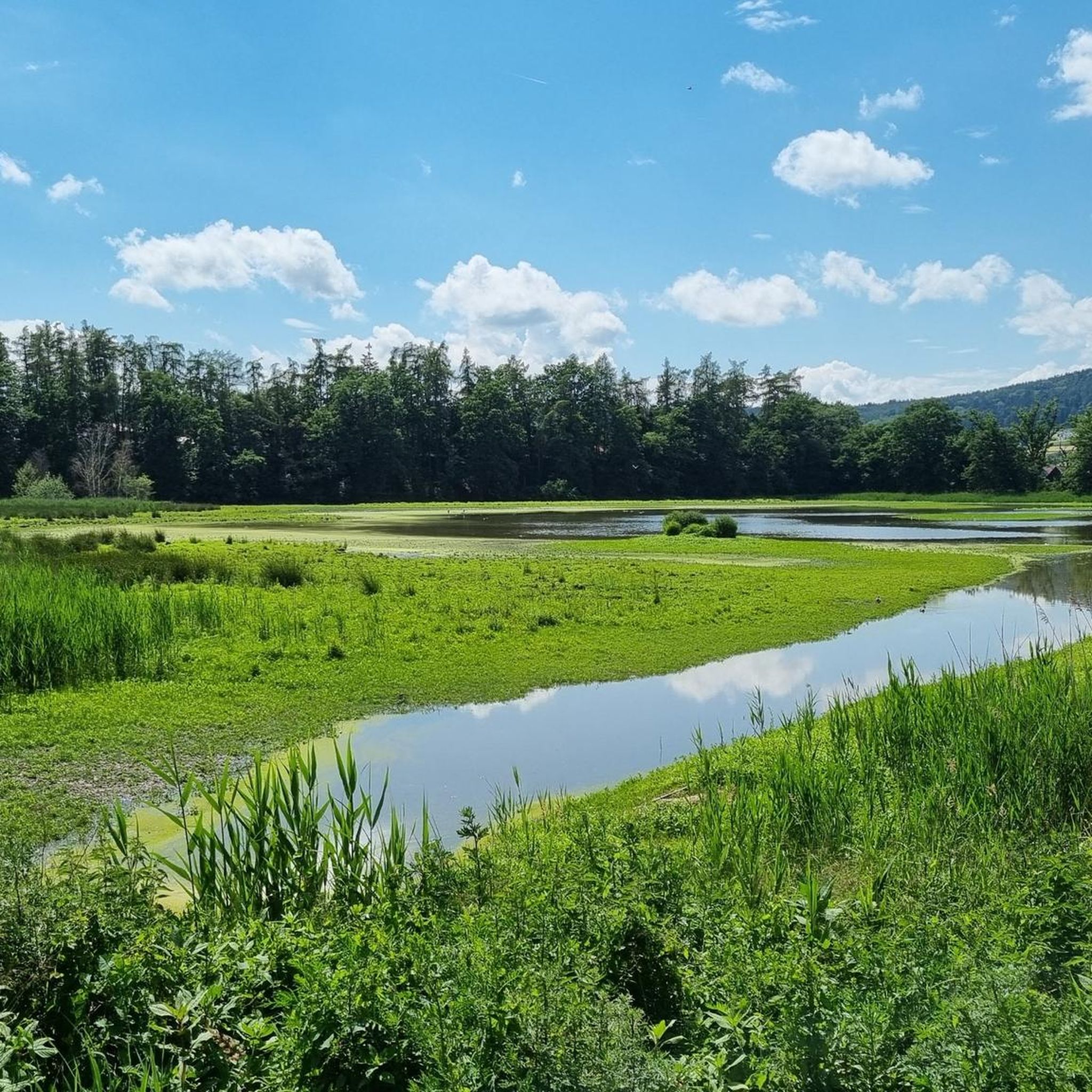
Road Cycling Routes around Regentalaue zwischen Cham und Pösing
Running Trails around Regentalaue zwischen Cham und Pösing

Gravel biking around Regentalaue zwischen Cham und Pösing
Other adventures around Regentalaue zwischen Cham und Pösing

Tips from the Community

Blue bridge with many locks from "Liebenfen", water management with beer garden right next to it
0
0

A lovely spot for a short or even a longer break. The tree provides cooling shade when needed.
2
0


Not suitable for strollers, half in the shade, half in the blazing sun.
0
0
Half of the trail is shaded and runs along dirt roads, making it unsuitable for strollers. The other half is paved and shade-free. It's particularly interesting due to the abundance of birds and frogs.
0
0

You have a great view here.
3
0
A beautiful nature reserve 🌿🌲🐦🐿️🐟
1
0

It is the only one of the original four city gates still standing. It was originally called the Castle Gate, as the Cham Castle stood on the site of the adjacent old building. However, after it lost its former function, an electoral brewery for wheat beer was established here in 1642. Thus, the Castle Gate became popularly known as the "Beer Gate." Its squat shape with its massive round towers and covered pointed arch is reflected in the coat of arms of the city of Cham as a landmark.
5
0
Frequently Asked Questions
How many hiking trails are available in Regentalaue zwischen Cham und Pösing?
The Regentalaue zwischen Cham und Pösing area offers a diverse network of over 10 hiking trails. These routes cater to various preferences, ranging from easy strolls to more moderate paths, allowing you to explore the unique riverine landscapes and wetlands.
What kind of terrain can I expect on the hiking trails?
The terrain in Regentalaue zwischen Cham und Pösing is characterized by its expansive riverine scenery, wetlands, and a mosaic of ponds, wet meadows, and oxbow lakes. The paths are generally well-maintained, with many easy routes suitable for all, and some sections are even accessible for wheelchairs and strollers. Expect mostly flat landscapes with minimal elevation changes, perfect for leisurely walks.
Are there any easy or beginner-friendly hiking routes in the Regentalaue?
Yes, the Regentalaue is ideal for easy and beginner-friendly hikes. Most of the routes are classified as easy, offering gentle paths through the natural reserve. A great option is the Rötelseeweiher Nature Reserve – Großer Rötelseeweiher loop, which is an easy 1.9 miles (3.1 km) path offering views of the bird-rich Großer Rötelseeweiher.
What are the best places for wildlife spotting, especially birds?
The Regentalaue is a renowned biodiversity hotspot, especially for birdlife. The Rötelseeweiher Nature Reserve is particularly significant, known as one of Bavaria's most important breeding grounds for rare waterbird species. There's also a new nature trail and bird observation station at the Großer Rötelseeweiher, making it an excellent spot for wildlife enthusiasts.
Are there any circular hiking routes in the area?
Yes, many of the trails in Regentalaue zwischen Cham und Pösing are circular routes, perfect for exploring without retracing your steps. For example, the Laichstätt – Rötelseeweiher Nature Reserve loop is a moderate 6.9 miles (11.1 km) trail that takes you through the heart of the nature reserve.
What interesting landmarks or attractions can I see along the hiking trails?
Beyond the natural beauty, you can discover several interesting landmarks. The Untertraubenbach Observation Tower offers magnificent panoramic views of the floodplain. You can also find cultural sights like the Biertor in Cham, a preserved city gate, and historical structures like the Seven-Arch Granite Bridge over the Altbach.
Is the Regentalaue suitable for family hikes with children?
Absolutely! The Regentalaue offers many family-friendly options. The easy, well-maintained paths and minimal elevation changes make it suitable for all ages. Some sections, particularly those leading to observation stations, are even accessible for strollers, allowing families to enjoy nature together.
What do other hikers enjoy most about hiking in Regentalaue zwischen Cham und Pösing?
The area is highly rated by the komoot community, with an average score of 4.5 stars from over 2,400 reviews. Hikers frequently praise the diverse wetland ecosystem, the opportunities for birdwatching, and the peaceful, natural riverine landscapes that make for a relaxing outdoor experience.
Are there specific viewpoints to get a good overview of the landscape?
Yes, the Untertraubenbach Observation Tower is a prominent 15-meter-high lookout that provides a magnificent panoramic view over the entire floodplain landscape. It's an excellent spot to appreciate the vastness and natural beauty of the Regental-Aue from above.
What is the best time of year to go hiking in Regentalaue zwischen Cham und Pösing?
The Regentalaue is beautiful year-round, but spring and autumn are particularly rewarding. Spring brings vibrant flora and increased bird activity as species return for breeding. Autumn offers stunning colors and comfortable temperatures for hiking. Due to the river's dynamics, parts of the area can flood after snowmelt or significant rain, which can influence accessibility and create unique natural spectacles.
Are there any moderate hiking trails for those looking for a bit more challenge?
While many trails are easy, there are also moderate options for hikers with good basic fitness. The Laichstätt – Rötelseeweiher Nature Reserve loop is a moderate 6.9 miles (11.1 km) trail that provides a longer and slightly more challenging experience through the diverse landscapes of the nature reserve.
Most popular routes around Regentalaue zwischen Cham und Pösing
Most popular attractions around Regentalaue zwischen Cham und Pösing

Get inspired with the komoot mobile app


Explore more
Browse the best Hikes in other regions.
