The best cycling routes around Regentalaue zwischen Cham und Pösing
4.6
(2310)
10,298
riders
562
rides
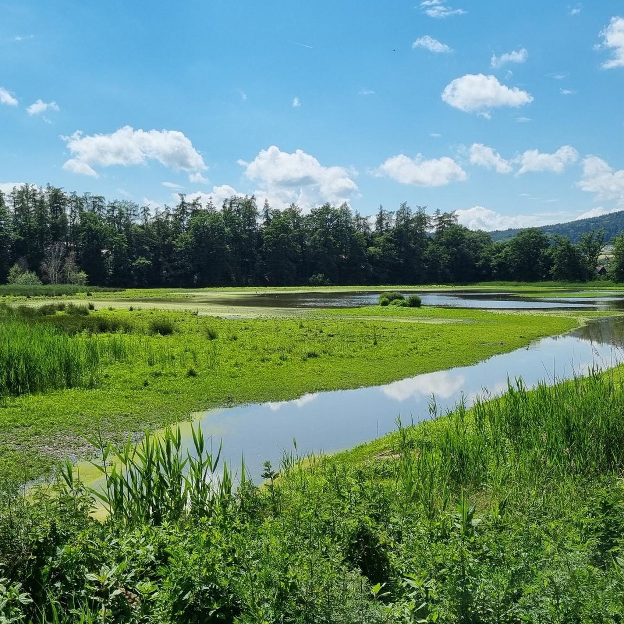
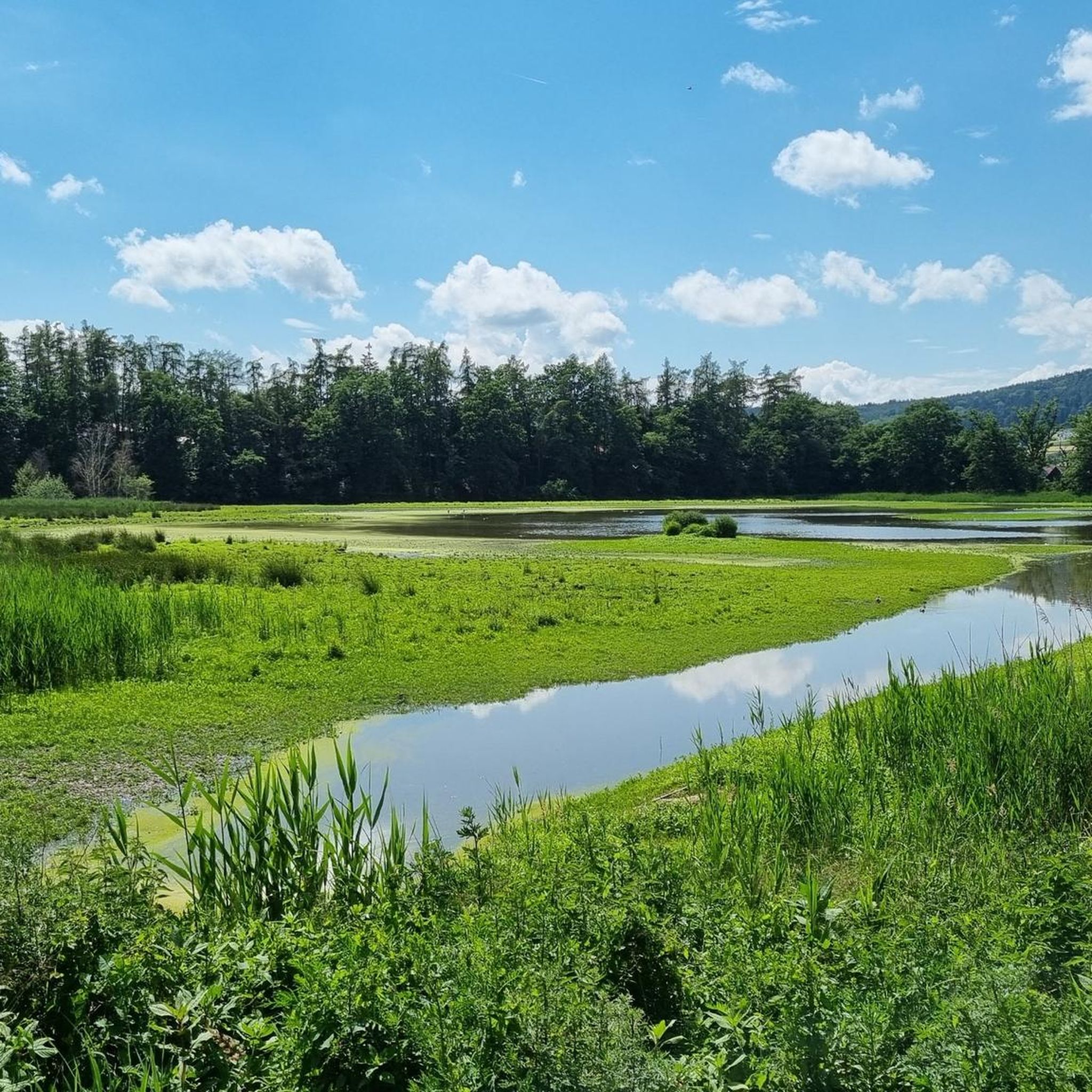
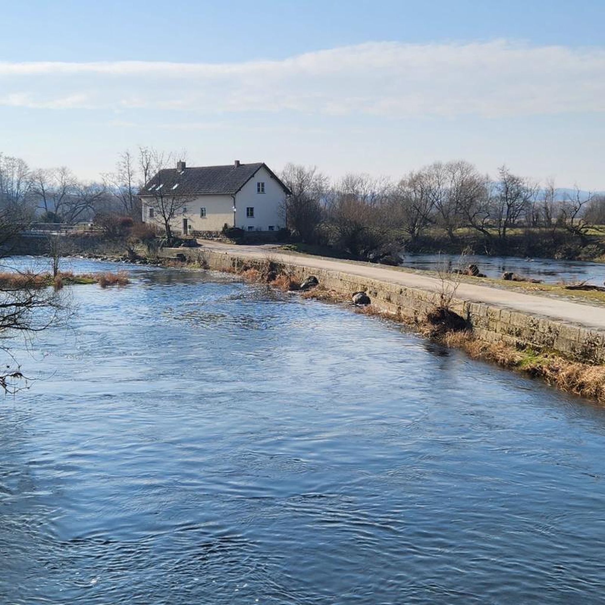
Touring cycling routes around Regentalaue zwischen Cham und Pösing traverse an expansive river valley and floodplain of the Regen river. This area is characterized by a mosaic of habitats, including numerous ponds, wet meadows, and old river arms. The terrain is predominantly flat and open with a low gradient, making it suitable for relaxed cycling. The landscape is shaped by regular flooding and features riparian forests adapted to wet conditions.
Best touring cycling routes around Regentalaue zwischen Cham und Pösing
…Last updated: July 10, 2026
4.8
(304)
1,272
riders
52.3km
03:11
260m
260m
Moderate bike ride. Good fitness required. Mostly paved surfaces. Suitable for all skill levels.
4.6
(64)
325
riders
23.1km
01:28
80m
80m
Easy bike ride. Great for any fitness level. Mostly paved surfaces. Suitable for all skill levels.

Sign up for free
4.7
(42)
178
riders
26.5km
01:37
80m
80m
Easy bike ride. Great for any fitness level. Mostly paved surfaces. Suitable for all skill levels.
4.8
(36)
128
riders
32.1km
02:03
220m
220m
Moderate bike ride. Good fitness required. Mostly paved surfaces. Suitable for all skill levels.
4.6
(44)
67
riders
Moderate bike ride. Good fitness required. Mostly paved surfaces. Suitable for all skill levels.
Get access to more routes and recommendations from other explorers.
Sign up for free
Already have an account?
Our route recommendations are based on thousands of hikes, rides, and runs completed by other people on komoot.
Start today with a free account
Your next adventure awaits.
Login or Signup
Popular around Regentalaue zwischen Cham und Pösing
Hiking through history on Germany’s Pandurensteig
MTB Trails around Regentalaue zwischen Cham und Pösing
Road Cycling Routes around Regentalaue zwischen Cham und Pösing
Running Trails around Regentalaue zwischen Cham und Pösing
Hiking around Regentalaue zwischen Cham und Pösing

Gravel biking around Regentalaue zwischen Cham und Pösing
Other adventures around Regentalaue zwischen Cham und Pösing

Tips from the Community

countless castles already hang there
0
0

There are not only delicious weapons👍 but also many other dishes and cakes🍰🍪🍩 and in the shop next door you can buy sweets 🍬🍭🧇of our own production
1
0
unfortunately I don't understand why several highlights need to be created for the same cycle path
0
0
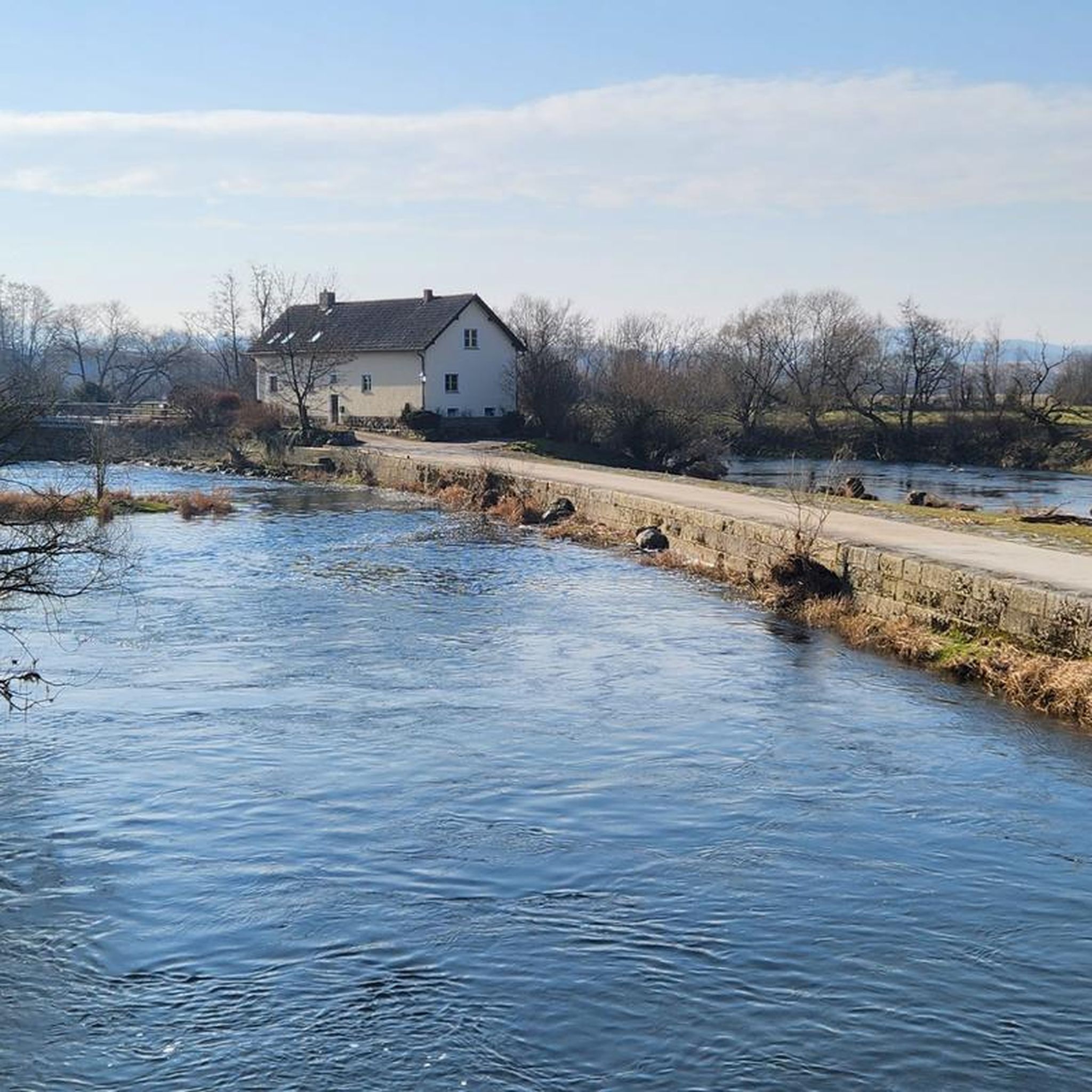
the large water wheel is clearly visible from the rain bridge
0
0
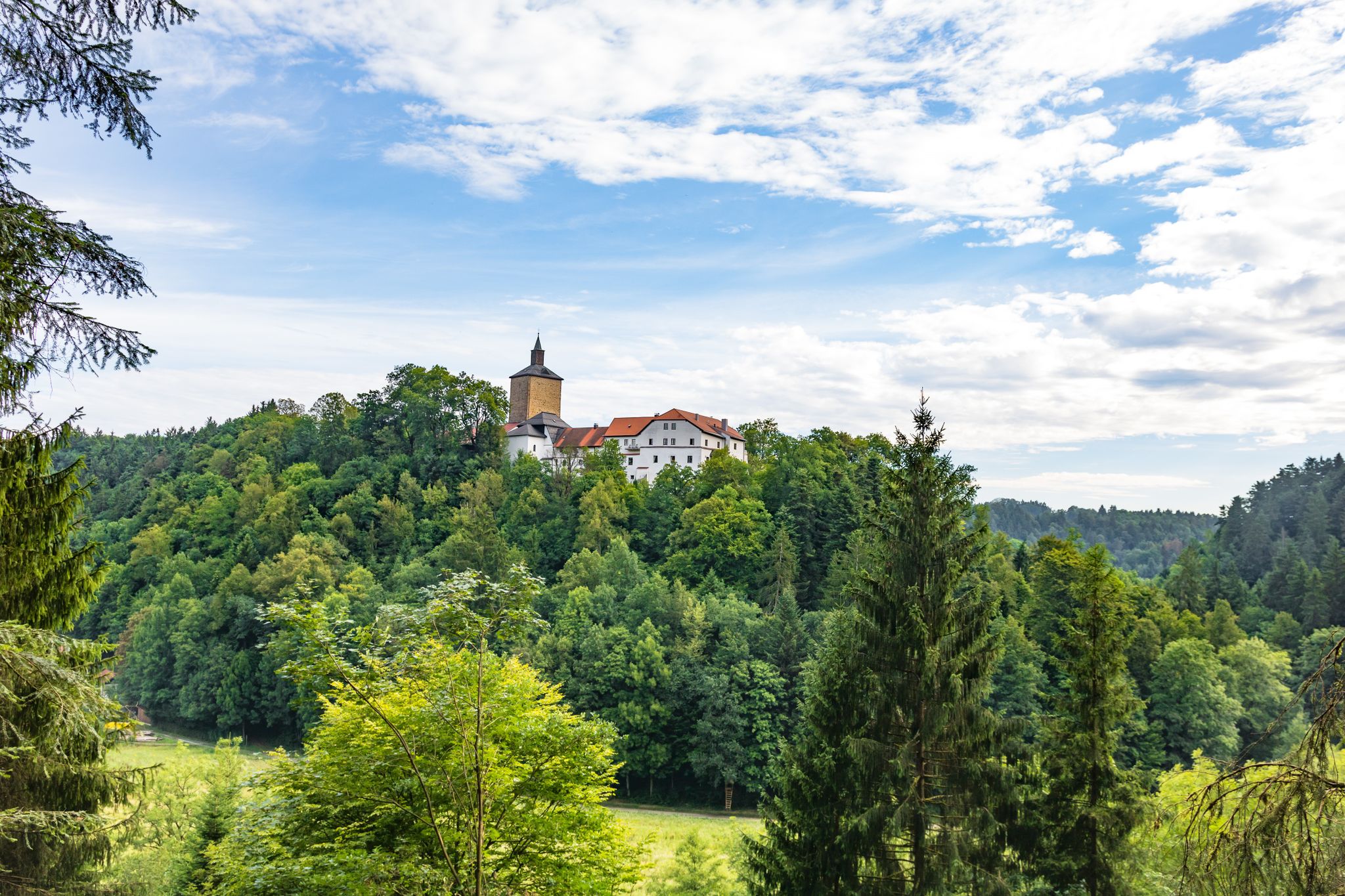
from the Donau-Regen-Radweg you have this view of the castle
0
0
beautiful, almost car-free market square. The fountain has something in it. Those who don't know might get wet
0
0

Blue bridge with many locks from "Liebenfen", water management with beer garden right next to it
0
0

A lovely spot for a short or even a longer break. The tree provides cooling shade when needed.
2
0
Frequently Asked Questions
How many touring cycling routes are available in Regentalaue zwischen Cham und Pösing?
There are over 570 touring cycling routes in the Regentalaue between Cham and Pösing. This includes 138 easy routes, 251 moderate routes, and 182 difficult routes, catering to various skill levels.
What kind of terrain can I expect on the cycling routes in Regentalaue?
The Regentalaue is characterized by its largely flat and open terrain, making it ideal for relaxed touring cycling. The routes traverse the expansive river valley and floodplain of the Regen river, with a low gradient. While generally flat, some routes may include minor elevation changes as they navigate the landscape.
Are there any family-friendly cycling routes in the Regentalaue?
Yes, the flat terrain of the Regentalaue makes it excellent for family-friendly cycling. Many paths are suitable for all ages. For an easy option that connects natural areas with the town center, consider the Lake Satzdorf – Cham Market Square loop from Cham (Oberpf), which is 14.3 miles (23.1 km) long.
Can I bring my dog on the cycling routes in Regentalaue?
While the Regentalaue is a nature reserve, many paths are suitable for cycling with dogs, provided they are kept on a leash to protect the sensitive wildlife, especially during breeding seasons. Always ensure your dog is comfortable with the distance and terrain.
What are some notable landmarks or viewpoints along the cycling routes?
The region offers several points of interest. You can visit the 15-meter-high Untertraubenbach Observation Tower for panoramic views over the floodplain. Other highlights include the historic Biertor in Cham, the sole remaining city gate, and the Florian-Geyer Bridge. Many routes also pass by beautiful natural features like the Rötelseeweiher Nature Reserve.
Are there circular cycling routes available?
Yes, many routes in the Regentalaue are designed as loops, allowing you to start and end at the same point. An example is the Pullinger Lake and Dam – Satzdorf Lake loop from Cham (Oberpf), a 32.1 miles (51.6 km) trail that connects two significant lakes.
What is the best time of year to go touring cycling in Regentalaue?
The Regentalaue is enjoyable for cycling throughout much of the year. Spring and autumn offer pleasant temperatures and beautiful scenery. However, it's important to note that the area can experience high water levels and flooding, especially during snowmelt or heavy rainfall, which might affect path accessibility. Always check local conditions before heading out.
Where can I find parking for my bike tour?
Parking is generally available in and around the towns like Cham and Pösing, as well as at various access points to the nature reserve. Specific parking information for individual routes can often be found on their respective komoot tour pages.
What kind of wildlife can I expect to see while cycling?
The Regentalaue is internationally renowned for its rich birdlife, with 276 bird species recorded. It's a crucial breeding ground and resting place for migratory birds. You might spot various waterfowl, meadow breeders, and other species. There are dedicated bird hides and observation stations, such as at the Großer Rötelseeweiher, to enhance birdwatching opportunities.
Are there any longer, more challenging touring cycling routes?
Yes, for those seeking a more challenging ride, there are difficult routes available. For instance, the Steinmann Hut – Maria Hilf Monastery Church Cham loop from Cham (Oberpf) is a 56.8 miles (91.4 km) route with significant elevation gain, offering a more strenuous experience.
What do other touring cyclists enjoy most about cycling in Regentalaue zwischen Cham und Pösing?
The area is highly rated by the komoot community, with an average score of 4.6 stars from over 3,200 reviews. Reviewers often praise the flat, open landscapes, the peaceful river valley, and the diverse natural habitats, including numerous ponds and wet meadows, which make for a relaxing and scenic cycling experience.
Are there routes that combine natural scenery with cultural sights?
Absolutely. Many routes allow you to experience both the natural beauty of the Regentalaue and nearby historical points. For example, the Danube-Regen Cycle Path – View of Altrandsberg Castle loop from Cham (Oberpf) offers views of historical landmarks while traversing the scenic river landscape.
Can I find places to swim or cool off along the routes?
Yes, for those looking to cool off, the region offers options like the Pösinger bathing pond, which is a popular spot for swimming. There's also the "old open-air swimming pool" with a large sunbathing lawn, providing designated areas for water activities.
Most popular routes around Regentalaue zwischen Cham und Pösing
Most popular attractions around Regentalaue zwischen Cham und Pösing

Get inspired with the komoot mobile app


Explore more
Browse the best Cycling routes in other regions.
