The best running trails around Regentalaue zwischen Cham und Pösing
4.4
(227)
3,019
runners
304
runs
Jogging routes around Regentalaue zwischen Cham und Pösing primarily follow the course of the Regen River, characterized by its riverine meadows and flat terrain. The region offers a network of running paths that traverse open landscapes and connect various local points of interest. Elevation changes are generally minimal, making many routes suitable for sustained running. The area's geography provides a mix of natural river scenery and accessible trails for different running preferences.
Best jogging routes around Regentalaue zwischen Cham und…
Last updated: July 5, 2026
5.0
(1)
32
runners
8.70km
00:54
20m
20m
Moderate run. Good fitness required. Mostly paved surfaces. Suitable for all skill levels.
23
runners
Hard run. Very good fitness required. Mostly paved surfaces. Suitable for all skill levels.

Sign up for free
5.0
(1)
24
runners
Moderate run. Good fitness required. Mostly paved surfaces. Suitable for all skill levels.
5.0
(2)
16
runners
12.2km
01:17
130m
130m
Moderate run. Good fitness required. Mostly paved surfaces. Suitable for all skill levels.
15
runners
8.54km
01:01
170m
170m
Moderate run. Good fitness required. Mostly paved surfaces. Suitable for all skill levels.
Get access to more routes and recommendations from other explorers.
Sign up for free
Already have an account?
Our route recommendations are based on thousands of hikes, rides, and runs completed by other people on komoot.
Start today with a free account
Your next adventure awaits.
Login or Signup
Popular around Regentalaue zwischen Cham und Pösing
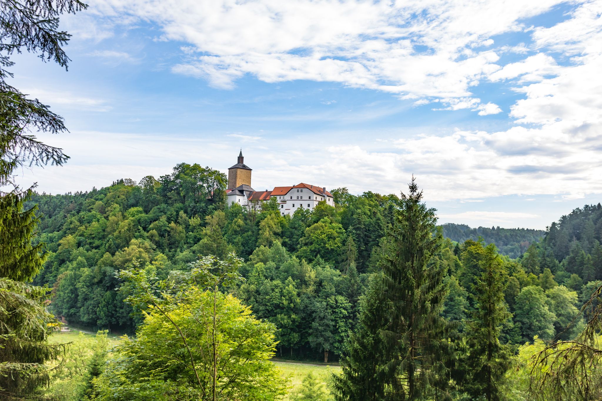
Hiking through history on Germany’s Pandurensteig
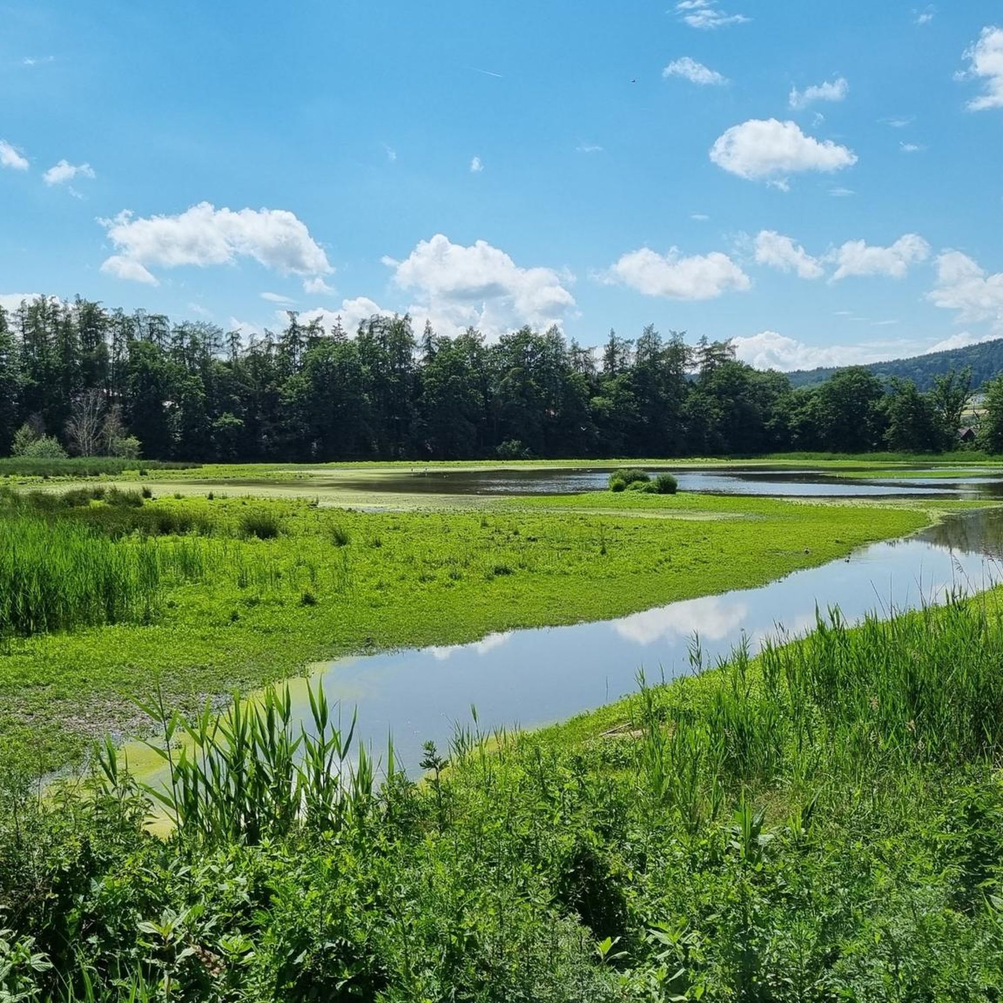
Cycling around Regentalaue zwischen Cham und Pösing
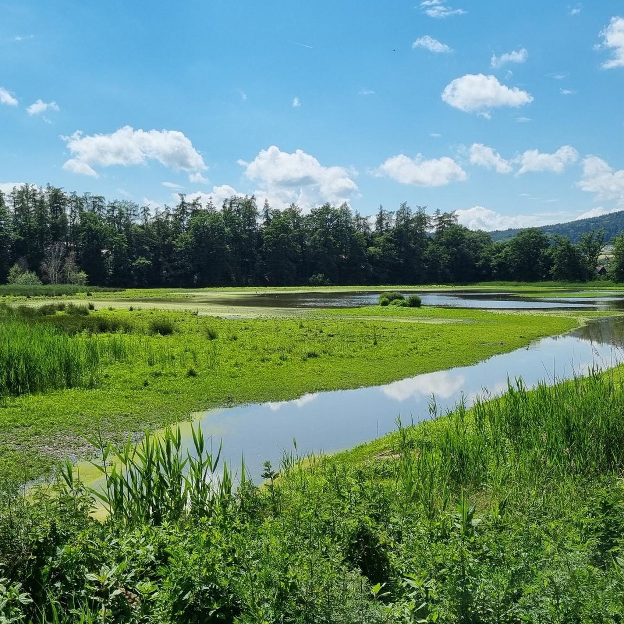
MTB Trails around Regentalaue zwischen Cham und Pösing
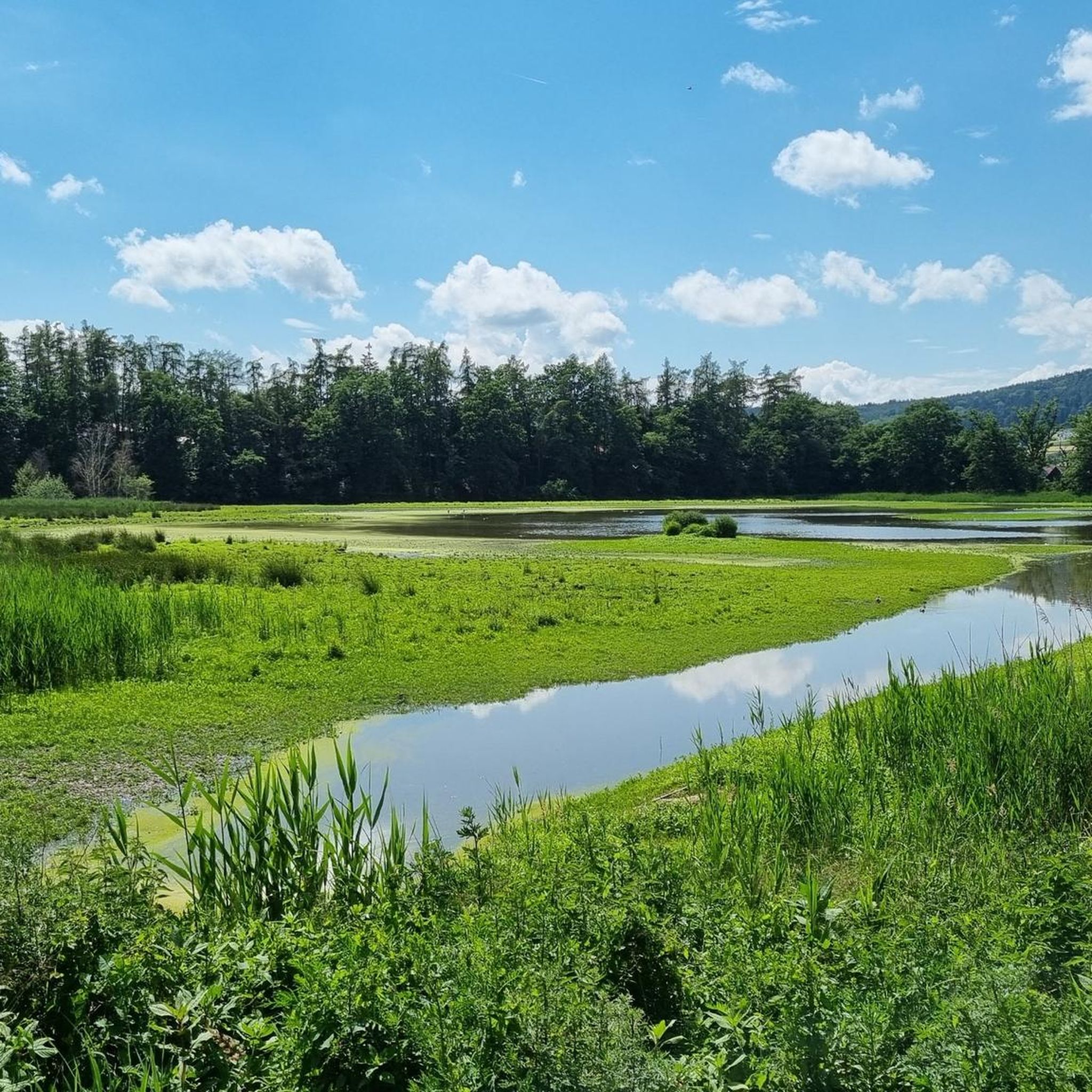
Road Cycling Routes around Regentalaue zwischen Cham und Pösing
Hiking around Regentalaue zwischen Cham und Pösing

Gravel biking around Regentalaue zwischen Cham und Pösing
Other adventures around Regentalaue zwischen Cham und Pösing

Tips from the Community

nice to loop, but highly frequented 🏃♂️
1
0

A lovely spot for a short or even a longer break. The tree provides cooling shade when needed.
2
0

Nice location to relax, also quickly accessible on foot from Altenstadt.
0
0

A "must see" on a tour of the district town.
0
0
In "Must See" on a tour of the district town.
0
0

Luitpold Tower The Luitpold Tower is a listed observation tower on the 494 m high Luitpoldhöhe in the Katzberg district of the city of Cham. The foundation stone for the construction of this observation tower was laid on March 12, 1901 on the occasion of the 80th birthday of Prince Regent Luitpold (1821-1912). The Luitpold Tower was completed the following year. The tower was originally 13.75 m high. In 1975 it was increased to 26 m. From there you have a good view of the mountains of the Bavarian Forest. The tower is cylindrical, the lower part was built from rubble stone, the upper part is a concrete structure clad with regular stones. A spiral staircase leads to the upper observation platform. Above the entrance there is a stone slab that commemorates the foundation. On the opposite side there is a tondo of the Prince Regent and below it a stone with the name of Prince Regent Luitpold and the years 1821 and 1911; these were obviously placed here for the Prince Regent's 90th birthday. Source: www.wikipedia.de
2
0
Calvary Church It is a mystery of history when the "Ochsenberg", as the Calvary in Cham was formerly called, became a Calvary. There is evidence that a wooden cross stood on the bare rocky peak of the Ochsenberg north of the town as early as 1712. The wooden crosses on our Calvary obviously did not withstand the harsh weather. For this reason, the town pastor, Josef Maria Ziegler, finally had the cast-iron cross erected there along with the statues of the Mother of God and the favourite disciple John in 1880. An existing wooden chapel had soon become far too small. Over the years, very significant signs of decay also became apparent. For this reason, the idea of building a small church of the Mother of God "on the mountain" was entertained. On April 5, 1853, the royal lawyer Dr. Anton Parst submitted a request to the church authorities in which he asked that the planned church building not only be approved, but also supported financially. The plan drawn up by the royal civil building inspector Maurer was approved; the costs, including the interior furnishings, were estimated at 7,991 guilders. The matter initially failed due to the question of financing. As a result of the great city fires of 1873 and 1877, it seemed as if the church building would be forgotten. The building project was taken up again in 1881 under the city pastor Franz Xaver Beutelhauser. Under his chairmanship, a building committee was first formed, and work was now carried out very energetically and purposefully. An appeal to the population to support the project by donating money and goods, as well as by providing manual and hauling services, was very successful. The owners in question gave up the required land, partly free of charge, partly at very low prices. The shell of the building was constructed in 1882/83. The building was finally completed in 1886. After a long period of effort, the church was consecrated on Sunday, April 5, 1903. Source: www.pfarrei-cham.de
1
0
Frequently Asked Questions
How many running routes are available in Regentalaue zwischen Cham und Pösing?
The Regentalaue region offers a wide network of over 300 running routes. These include 40 easy routes, 238 moderate routes, and 41 difficult routes, catering to various fitness levels and preferences.
Are there easy running trails suitable for beginners in Regentalaue?
Yes, the region features 40 easy running trails, many of which follow the flat terrain along the Regen River. These routes are ideal for beginners or those looking for a relaxed jog. An example is the Regen River Bridge – Pösinger bathing pond loop from Regentalaue zwischen Cham und Pösing, which is 4.1 miles (6.6 km) long and has minimal elevation changes.
What kind of terrain can I expect on the jogging routes in this area?
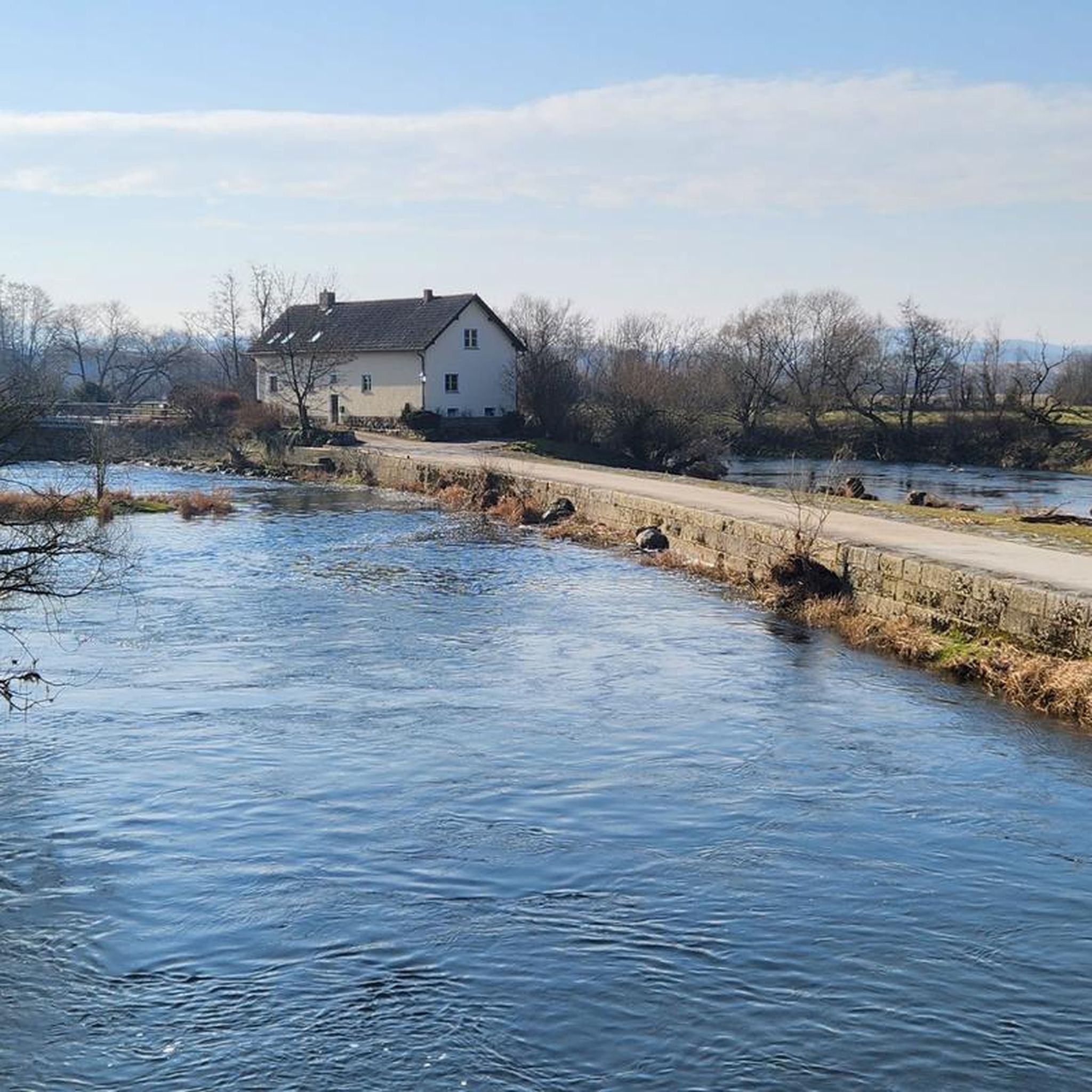
Jogging routes in Regentalaue zwischen Cham und Pösing primarily follow the course of the Regen River, characterized by its riverine meadows and generally flat terrain. You'll find a mix of open landscapes and accessible paths, with minimal elevation changes on most routes, making them suitable for sustained running.
Are there any circular running routes in Regentalaue zwischen Cham und Pösing?
Yes, many of the running routes in the area are circular, offering convenient starting and ending points. For instance, the Pösinger bathing pond – Regen River Bridge loop from Pösing is a popular 5.4-mile (8.7 km) loop that provides scenic views of the bathing pond and the river.
Can I run with my dog on the trails in Regentalaue?
While specific dog-friendly regulations can vary, generally, dogs are welcome on many of the outdoor trails in the Regentalaue region, especially on the wider paths along the river. It's always recommended to keep your dog on a leash and ensure you clean up after them. Look for routes that avoid sensitive nature reserves or crowded areas if you prefer more space.
What are some scenic viewpoints or attractions I can see while running?
The region offers several points of interest along its running paths. You might pass by the Pösinger bathing pond, or enjoy views from the Untertraubenbach Observation Tower. The Rötelseeweiher Nature Reserve also offers natural beauty. Many routes also feature views of the Regen River itself.
Are there longer running routes for experienced runners?
Absolutely. For those seeking a more challenging and longer experience, routes like the Regen River Bridge loop from Cham (Oberpf) offer a difficult 10.1-mile (16.3 km) path along the Regen River. There are 41 difficult routes in total for experienced runners.
What do other runners say about the trails in Regentalaue zwischen Cham und Pösing?
The running trails in Regentalaue zwischen Cham und Pösing are highly rated by the komoot community, with an average score of 4.4 stars from over 200 reviews. Runners often praise the well-maintained paths, the peaceful riverine scenery, and the variety of routes suitable for different fitness levels.
Is there parking available near the running routes?
Yes, parking is generally available at various access points to the running routes, particularly in and around towns like Cham and Pösing. Many routes start near public parking areas or local amenities, making it convenient to access the trails.
Are there any routes that include lakes or water features?
Yes, several routes incorporate lakes and water features. The Satzdorfer Lake – Lake Satzdorf loop from Cham (Oberpf) is a 7.7-mile (12.4 km) route that takes you around Lake Satzdorf, offering pleasant lakeside running.
What is the best season for running in Regentalaue zwischen Cham und Pösing?
The Regentalaue region is enjoyable for running throughout much of the year. Spring and autumn offer pleasant temperatures and beautiful natural scenery. Summer is also popular, especially along the river where breezes can provide some relief. Even in winter, many of the flatter, well-maintained paths can be suitable for running, though conditions may vary.
Most popular routes around Regentalaue zwischen Cham und Pösing
Most popular attractions around Regentalaue zwischen Cham und Pösing

Get inspired with the komoot mobile app


Explore more
Browse the best Running Trails & Routes in other regions.
