The best gravel rides around Regentalaue zwischen Cham und Pösing
4.5
(17)
54
riders
11
rides
Gravel biking around Regentalaue zwischen Cham und Pösing offers routes through a landscape shaped by the Regen River and its expansive floodplain. The region is characterized by a mosaic of habitats, including numerous ponds, wet meadows, and old river arms, with a low gradient and largely flat, open terrain. Riparian forests featuring alder and willow are common along the river, providing varied scenery. This environment supports a network of paths suitable for gravel bikes, ranging from compacted gravel to paved…
Last updated: July 2, 2026
4.5
(2)
11
riders
47.2km
02:36
160m
160m
Moderate gravel ride. Good fitness required. Mostly paved surfaces. Suitable for all skill levels.
5.0
(1)
4
riders
101km
06:08
1,310m
1,310m
Hard gravel ride. Very good fitness required. Mostly paved surfaces. Suitable for all skill levels.

Sign up for free
5.0
(3)
4
riders
37.6km
02:24
360m
360m
Moderate gravel ride. Good fitness required. Mostly paved surfaces. Suitable for all skill levels.
4.0
(1)
4
riders
42.9km
02:26
300m
300m
Moderate gravel ride. Good fitness required. Mostly paved surfaces. Suitable for all skill levels.
3
riders
56.2km
03:49
700m
700m
Hard gravel ride. Very good fitness required. Mostly paved surfaces. Suitable for all skill levels.
Get access to more routes and recommendations from other explorers.
Sign up for free
Already have an account?
Our route recommendations are based on thousands of hikes, rides, and runs completed by other people on komoot.
Start today with a free account
Your next adventure awaits.
Login or Signup
Popular around Regentalaue zwischen Cham und Pösing
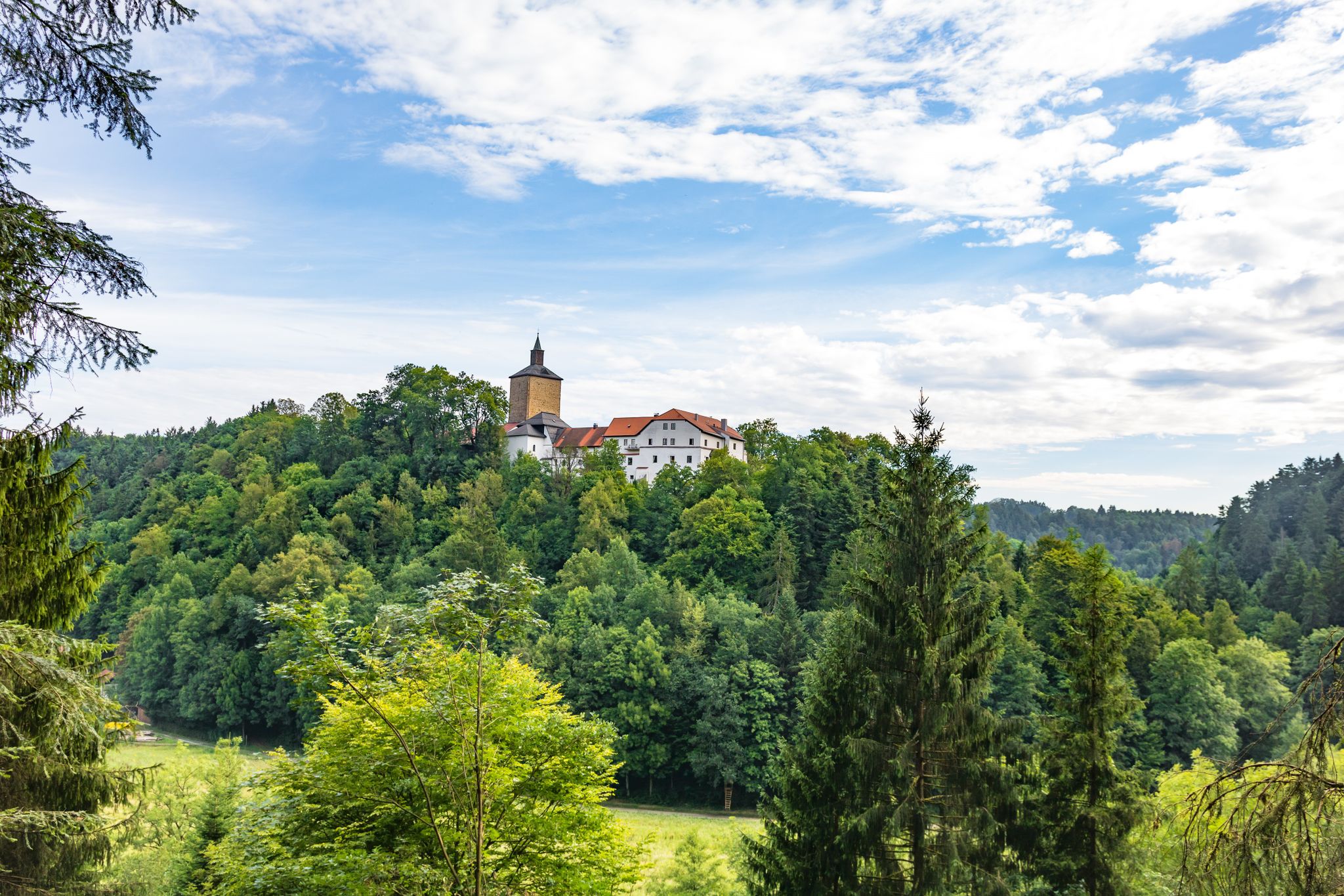
Hiking through history on Germany’s Pandurensteig
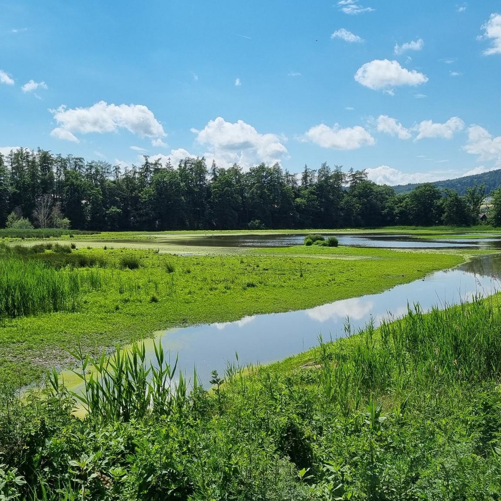
Cycling around Regentalaue zwischen Cham und Pösing
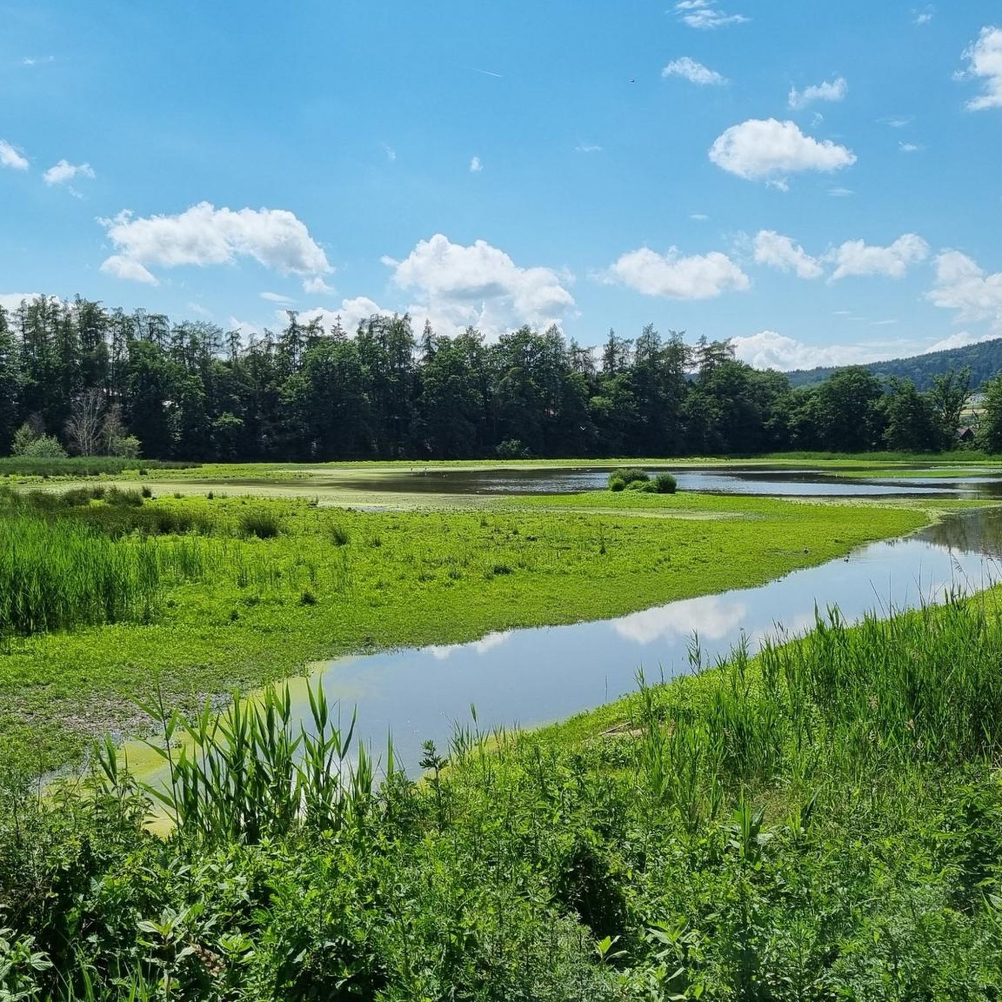
MTB Trails around Regentalaue zwischen Cham und Pösing
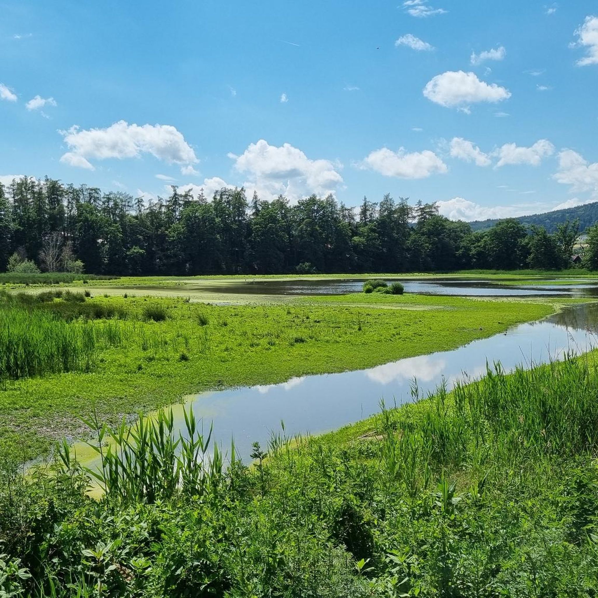
Road Cycling Routes around Regentalaue zwischen Cham und Pösing
Running Trails around Regentalaue zwischen Cham und Pösing
Hiking around Regentalaue zwischen Cham und Pösing
Other adventures around Regentalaue zwischen Cham und Pösing

Tips from the Community

from the Donau-Regen-Radweg you have this view of the castle
0
0
The cycle path runs directly along the Regen river and therefore naturally has no significant climbs.
0
0

View of the lake to enjoy...........
1
0

From here you have a magnificent view.
0
0

Beautiful old bridge over the Regen.
1
0

From the observation tower you can enjoy a fantastic view of the Regen and the surrounding fields and meadows.
0
0

Beautiful lake for almost all leisure activities.
1
0
Frequently Asked Questions
How many gravel bike trails are available in Regentalaue zwischen Cham und Pösing?
The Regentalaue zwischen Cham und Pösing region offers a diverse network of over 20 gravel bike trails. These routes cater to various skill levels, including 2 easy, 8 moderate, and 10 difficult options, ensuring there's a suitable ride for every gravel biker.
Are there any easy gravel biking routes suitable for beginners or families?
Yes, the region features several easy gravel biking routes. While the intro highlights more challenging options, you can find routes with gentler terrain. For example, the View of Hammersee (Bodenwöhr) – View of Lake Hammersee loop from Roding is a moderate route that offers scenic views and manageable distances, suitable for those looking for a less strenuous ride.
What is the best time of year for gravel biking in Regentalaue zwischen Cham und Pösing?
The best time for gravel biking in Regentalaue zwischen Cham und Pösing is typically from spring through autumn (April to October). During these months, the weather is generally mild, and the riverine paths and lake-side trails are in optimal condition. Summer offers lush green landscapes, while autumn provides beautiful foliage along the Regen River.
Are there any advanced or challenging gravel trails in the area?
Absolutely. For experienced gravel bikers seeking a challenge, the region offers 10 difficult routes. The Regental Cycle Path – Lake Höllenstein loop from Cham (Oberpf), for instance, is rated as difficult, covering 35.0 miles (56.4 km) with significant elevation changes, providing a rewarding ride for advanced cyclists.
What kind of terrain can I expect on the gravel bike trails?
The gravel bike trails in Regentalaue zwischen Cham und Pösing feature a varied terrain. You'll encounter compacted gravel paths, paved sections, and some natural dirt paths, especially along the riverbanks and through wooded areas. The landscape is characterized by river valleys, expansive lakes like Lake Höllenstein and Lake Blaibach, and gentle rolling hills.
Are there any circular gravel routes available?
Yes, many of the gravel routes in Regentalaue zwischen Cham und Pösing are designed as loops, allowing you to start and end at the same point. The Pösinger bathing pond – Regen River Bridge loop from Cham (Oberpf) is a popular moderate circular route that explores the area around the bathing pond and crosses the Regen River.
What are some interesting landmarks or viewpoints along the gravel bike routes?
Several routes offer scenic viewpoints and pass by interesting landmarks. You might encounter the Untertraubenbach Observation Tower for panoramic views, or cycle past the historic Florian-Geyer Bridge. The Boardwalk at Neubäuer See – View of Walderbach Abbey loop from Roding also offers picturesque sights.
Are there places to swim or cool off near the gravel trails?
Yes, the region is known for its lakes and water bodies. The Pösinger bathing pond is a popular spot for swimming and relaxation, often accessible directly from gravel routes. Additionally, the Rötelseeweiher Nature Reserve offers a tranquil lake environment.
What do other gravel bikers enjoy most about the Regentalaue zwischen Cham und Pösing?
The area is highly rated by the komoot community, with an average score of 4.6 stars from over 20 reviews. Gravel bikers often praise the varied terrain, the scenic beauty of the river valleys and lakes, and the well-maintained paths that make for an enjoyable riding experience. The mix of open fields and wooded sections is also frequently highlighted.
How long do gravel bike routes typically take to complete in this region?
Route durations vary significantly based on distance and difficulty. For example, the Pösinger bathing pond – Regen River Bridge loop from Cham (Oberpf), a moderate 29.3-mile (47.2 km) route, typically takes around 3 hours 30 minutes. Longer, more difficult routes like the Regental Cycle Path – Lake Blaibach loop from Cham (Oberpf), covering 40.7 miles (65.4 km), can take approximately 4 hours 25 minutes.
Is winter gravel biking possible in Regentalaue zwischen Cham und Pösing?
While gravel biking is generally possible year-round, winter conditions in Regentalaue zwischen Cham und Pösing can include snow and ice, especially on less-trafficked paths. Paved sections and main cycle paths might be cleared, but natural and compacted gravel trails can become challenging. It's advisable to check local weather and trail conditions before heading out in winter and to use appropriate tires and gear.
Most popular routes around Regentalaue zwischen Cham und Pösing
Most popular attractions around Regentalaue zwischen Cham und Pösing

Get inspired with the komoot mobile app


Explore more
Browse the best Gravel rides in other regions.
