The best traffic-free bike rides in Capilano Watershed
4.7
(438)
6,197
riders
15
rides
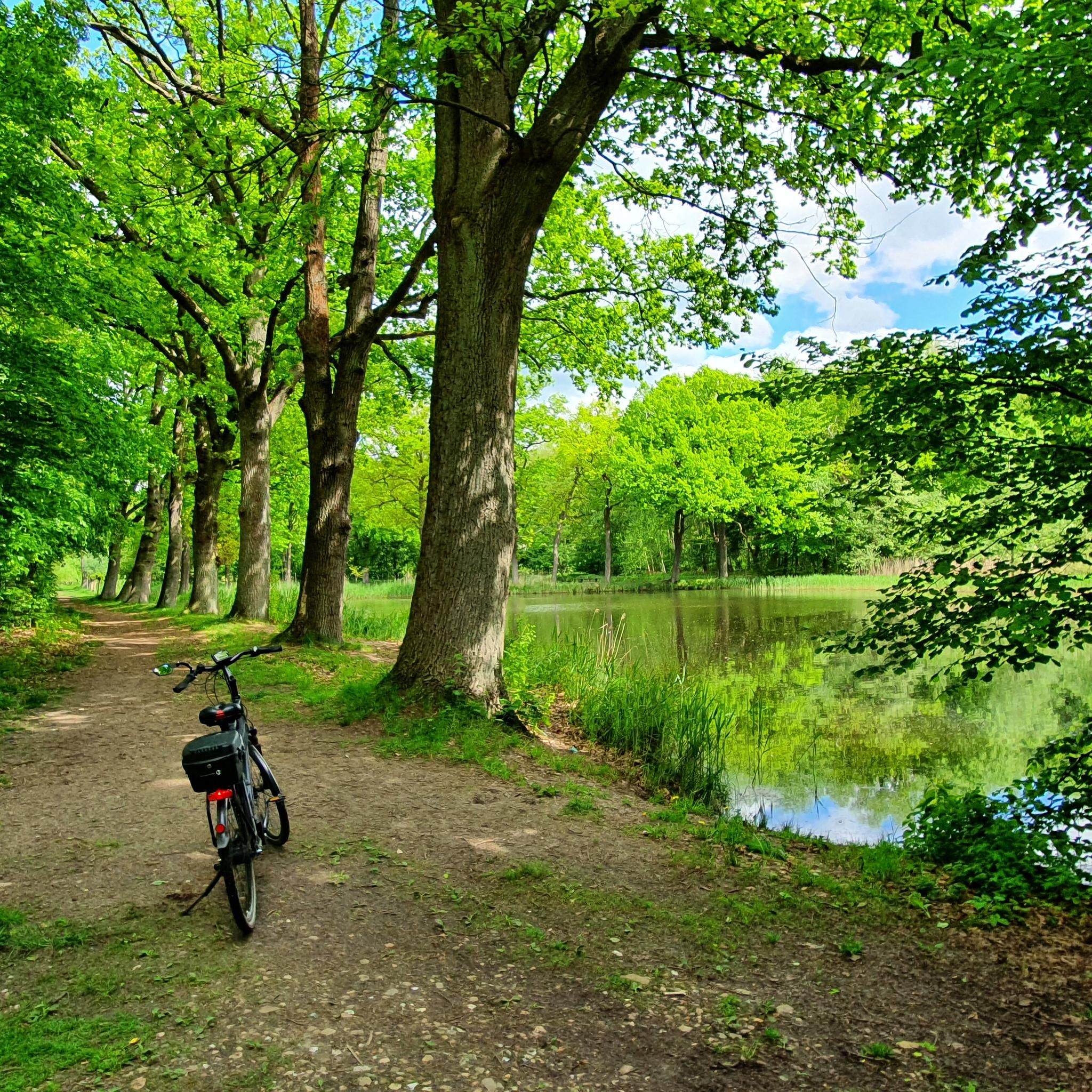
No traffic touring cycling routes in Capilano Watershed traverse a landscape characterized by lush coastal rainforests, dramatic river canyons, and impressive natural features. The region is defined by its vibrant forests, featuring towering old-growth trees that create a serene backdrop. The powerful Capilano River carves through canyon walls, and the area offers panoramic views of the Capilano Lake, Cleveland Dam, and the surrounding North Shore Mountains. This environment provides varied terrain for touring cyclists.
Best no traffic touring cycling routes…
Last updated: July 9, 2026
4.9
(200)
2,649
riders
34.7km
02:11
230m
230m
Moderate bike ride. Good fitness required. Mostly paved surfaces. Suitable for all skill levels.
4.8
(29)
503
riders
52.1km
04:08
660m
660m
Hard bike ride. Very good fitness required. Mostly paved surfaces. Suitable for all skill levels.

Sign up for free
5.0
(9)
110
riders
18.2km
01:06
110m
110m
Easy bike ride. Great for any fitness level. Mostly paved surfaces. Suitable for all skill levels.
5.0
(2)
4
riders
26.2km
01:47
390m
390m
Moderate bike ride. Good fitness required. Mostly paved surfaces. Suitable for all skill levels.
4.8
(5)
60
riders
36.2km
02:54
520m
520m
Hard bike ride. Very good fitness required. Mostly paved surfaces. Suitable for all skill levels.
Get access to more routes and recommendations from other explorers.
Sign up for free
Already have an account?
Our route recommendations are based on thousands of hikes, rides, and runs completed by other people on komoot.
Start today with a free account
Your next adventure awaits.
Login or Signup

Other adventures in Capilano Watershed

Tips from the Community

Here, the Avison Trail crosses over Stanley Park Causeway via a sidewalk on Stanley Park Drive and gives one of the best viewpoints over Lions Gate Bridge. There is an informational sign on the sidewalk about the bridge, and the viewpoints look straight down the bridge from between the forests.
1
0

Ray Perrault Park is located in the Grandview–Woodland neighborhood and covers a full city block. The park features open green space, a playground, sports courts, and a splash pad that is popular with families during the summer months. It also includes a community garden, which adds to its role as a local gathering place.
0
0
Grand Boulevard Park is a long, linear park located in the North Vancouver. The park runs through the center of the historic Grand Boulevard, creating a wide green corridor that stretches several blocks through the neighborhood. It features open lawns, mature trees, and paved pathways that are popular for walking, jogging, and cycling. The park is also used for community gatherings and seasonal events.
0
0

A really beautiful place to walk.
3
0
A very nice place to walk.
2
0
Built in 1954, this dam holds back Capilano Lake. It has a pretty impressive 91-metre spillway and is responsible for a large portion of the Lower Mainland's drinking water. The dam is part of the Capilano River Regional Park.
1
0

In Vancouver's beautiful Stanley Park, you can admire several totem poles for free. Each one has an explanation, and the path to the pole is signposted.
1
0

Frequently Asked Questions
How many no-traffic touring cycling routes are available in the Capilano Watershed area?
The Capilano Watershed area offers a diverse selection of 14 no-traffic touring cycling routes. These routes cater to various skill levels, including 4 easy, 6 moderate, and 4 difficult options, ensuring there's a suitable ride for almost every cyclist.
What kind of terrain can I expect on these no-traffic cycling routes?
You can expect a varied terrain that showcases the region's natural beauty. Routes often traverse lush coastal rainforests, offering serene paths beneath towering old-growth trees. While many sections are paved or well-maintained gravel, some routes may include gentle inclines or descents as they follow the contours of the Capilano River canyon and surrounding areas. E-bikes can be particularly helpful for some of the longer or more challenging routes.
Are there any family-friendly no-traffic touring cycling routes?
Yes, there are several family-friendly options. For an easier ride, consider the Wagg Creek loop from North Vancouver, which is approximately 7.9 km long and has minimal elevation gain. Another excellent choice is the Hollyburn Sailing Club Beach loop from West Vancouver, an easy 17.4 km route that offers scenic views and is suitable for a leisurely family outing.
What are some notable landmarks or viewpoints I can see along these routes?
Many routes offer stunning natural and man-made landmarks. You might encounter the impressive Cleveland Dam, which provides panoramic views of Capilano Lake and the North Shore Mountains. Other highlights include sections along the Capilano River, with its dramatic canyon walls, and glimpses of the vast Capilano Lake. While direct access to the primary watershed is restricted, the surrounding trails offer plenty of scenic beauty.
What is the best time of year for no-traffic touring cycling in the Capilano Watershed?
The best time to enjoy no-traffic touring cycling in the Capilano Watershed is generally from late spring through early autumn (May to October). During these months, the weather is typically milder and drier, and the trails are in optimal condition. The lush rainforests are vibrant, and mountain views are often clearer. While cycling is possible year-round, winter months can bring rain and cooler temperatures, requiring appropriate gear.
Are there any loop routes available for touring cyclists?
Yes, several no-traffic touring cycling routes in the Capilano Watershed are designed as loops, offering a convenient start and end point. Examples include the Cleveland Dam – Shipyards Bridge loop from District of North Vancouver, a moderate 26.1 km ride, and the more challenging Halfway Hairpin – Seymour Trailway loop from North Vancouver, which covers over 52 km.
What do other touring cyclists enjoy most about cycling in the Capilano Watershed?
The Capilano Watershed area is highly rated by the komoot community, with an average score of 4.75 stars. Reviewers often praise the tranquility of the no-traffic routes, the stunning natural beauty of the coastal rainforests, and the well-maintained paths that make for an enjoyable cycling experience. The diverse range of routes, from easy family rides to more challenging loops, is also frequently highlighted.
Is public transport accessible near these no-traffic cycling routes?
Yes, the Capilano Watershed area is relatively well-served by public transport, particularly from downtown Vancouver. Many cyclists use the scenic Seawall through Stanley Park and cross the Lions Gate Bridge to reach the Capilano Road area, where several routes begin. Local bus services also operate in North Vancouver, providing access to various trailheads and starting points for these no-traffic routes.
Are there any longer, more challenging no-traffic routes for experienced touring cyclists?
Absolutely. For experienced touring cyclists seeking a challenge, the Capilano Watershed offers routes like the Spur 4 Bridge – Seymour Trailway loop from North Vancouver. This difficult route spans approximately 35.8 km with significant elevation gain, providing a rewarding experience through the region's rugged landscapes.
Can I find amenities like cafes or restrooms along the no-traffic cycling routes?
While the routes themselves are designed to be traffic-free and often pass through natural areas, amenities like cafes and restrooms are typically available at the start/end points of routes or in nearby urban centers like North Vancouver and West Vancouver. It's advisable to plan your stops and carry sufficient water and snacks, especially for longer rides, as facilities may not be directly on the trail.
Most popular routes in Capilano Watershed
Most popular attractions in Capilano Watershed

Get inspired with the komoot mobile app


Explore more
Browse the best Cycling routes in other regions.
