The best walks and hikes in Capilano Watershed
4.6
(999)
12,822
hikers
16
hikes
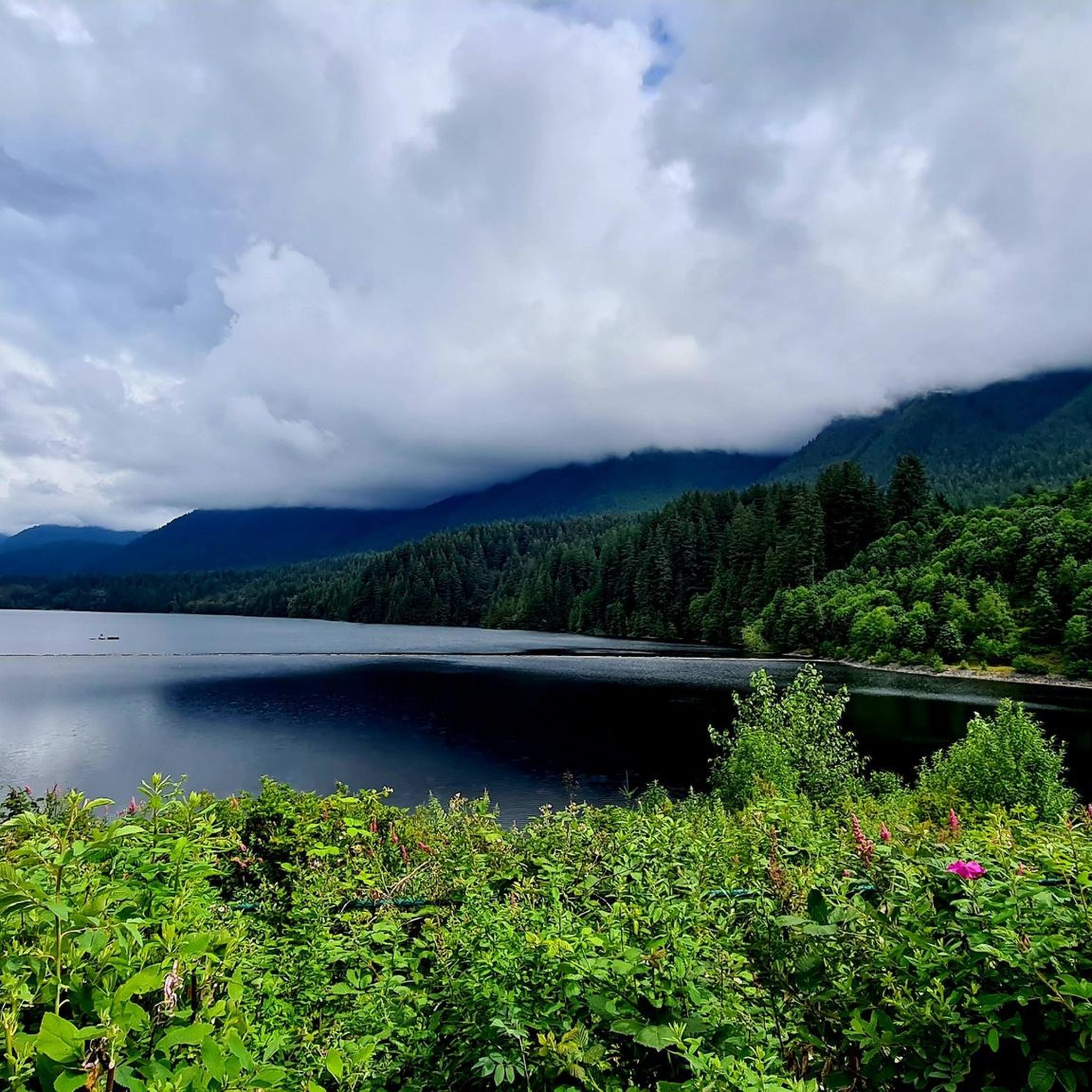
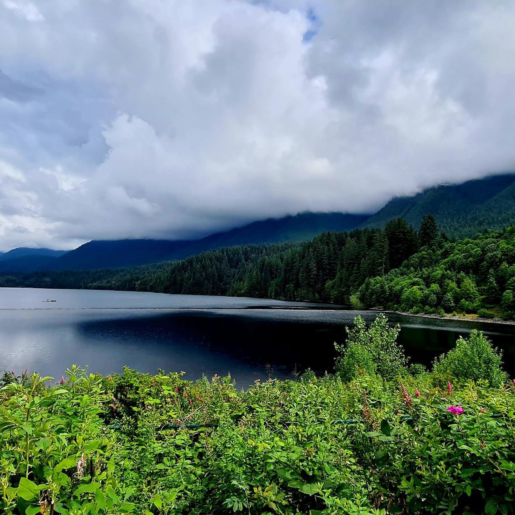
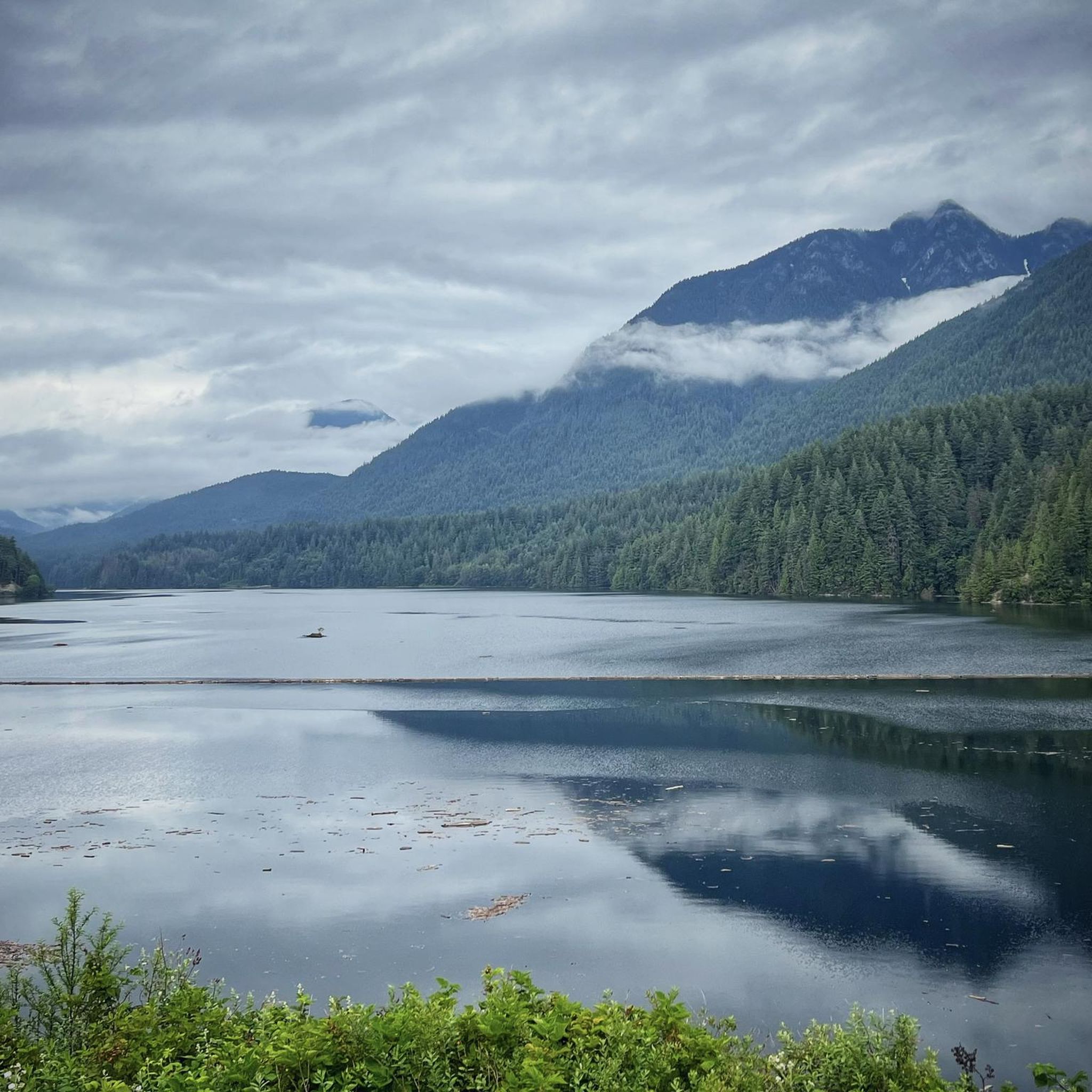
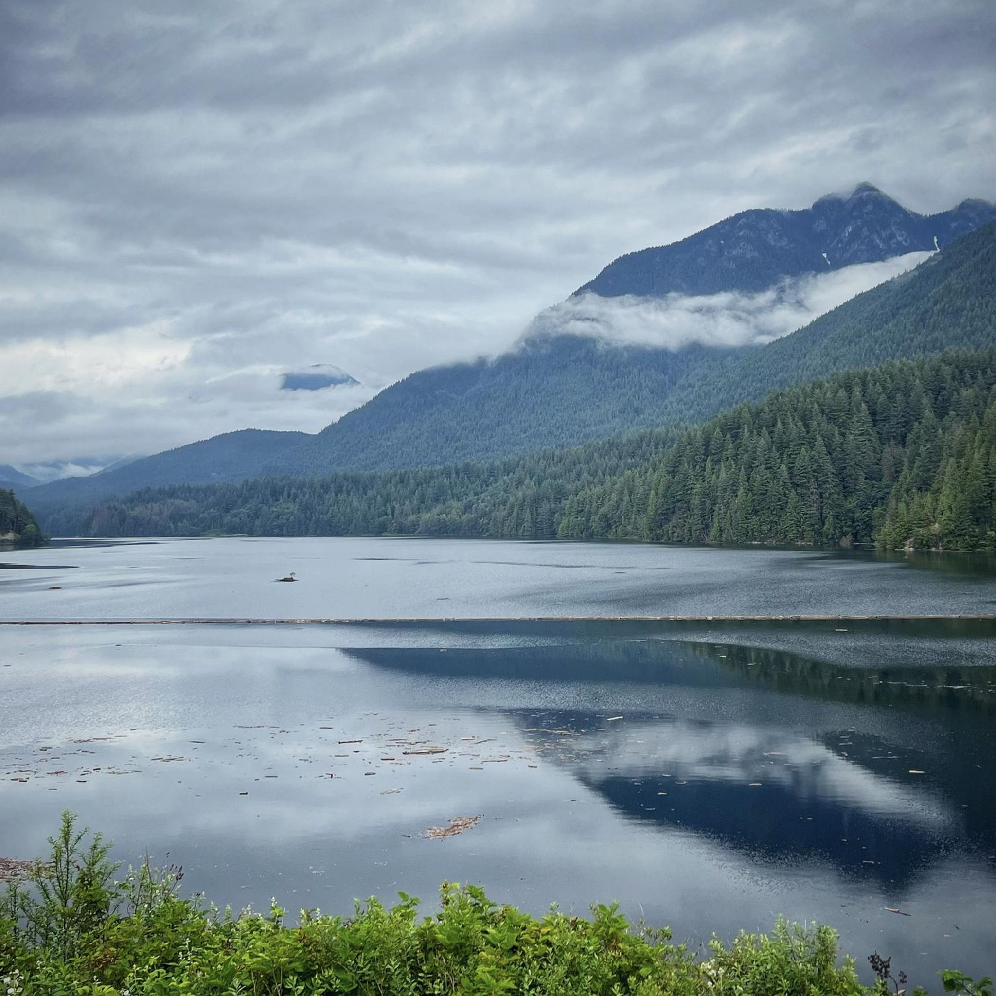
Hiking in Capilano Watershed is characterized by lush coastal rainforests, dramatic canyon walls, and the powerful Capilano River. The region features towering old-growth Douglas fir trees and offers views of Capilano Lake and the Cleveland Dam. Trails navigate varied terrain, from riverbanks to higher elevations, providing diverse hiking experiences within this natural setting.
Best hiking trails in Capilano Watershed
- The most popular hiking route is Grouse Grind Trail, a 1.4 miles (2.3 km) trail that takes 1 hour 40…
Last updated: June 27, 2026
4.9
(41)
926
hikers
2.33km
01:40
800m
Moderate hike. Good fitness required. Easily-accessible paths. Suitable for all skill levels.
4.3
(7)
135
hikers
Moderate hike. Good fitness required. Mostly accessible paths. Sure-footedness required.

Sign up for free
4.7
(7)
94
hikers
11.6km
06:06
1,080m
1,080m
Hard hike. Very good fitness required. Mostly accessible paths. Sure-footedness required.
4.6
(7)
95
hikers
3.93km
01:10
110m
110m
Easy hike. Great for any fitness level. Easily-accessible paths. Suitable for all skill levels.
5.0
(1)
28
hikers
5.17km
02:03
270m
270m
Moderate hike. Good fitness required. Mostly accessible paths. Sure-footedness required.
Get access to more routes and recommendations from other explorers.
Sign up for free
Already have an account?
Our route recommendations are based on thousands of hikes, rides, and runs completed by other people on komoot.
Start today with a free account
Your next adventure awaits.
Login or Signup

Other adventures in Capilano Watershed

Tips from the Community

Built in 1954, this dam holds back Capilano Lake. It has a pretty impressive 91-metre spillway and is responsible for a large portion of the Lower Mainland's drinking water. The dam is part of the Capilano River Regional Park.
1
0

To be clear, this is not the top of Grouse Mountain, but merely the furthest you can climb by bicycle on a paved road. Here, you'll find a parking lot, washrooms, a water dispenser, a coffee shop, and the base of the Skyride gondola. To get to the top of Grouse Mountain where the views and tourist attractions are, you'll need to either take a gondola ride, hike up the Grouse Grind Trail (https://komoot.com/smarttour/e1816863835), or hike the BCMC Trail (https://komoot.com/highlight/3718910). It is also possible to ride a bike to the top, not through here, but by taking Mountain Highway to the unpaved Grouse Mountain Highway.
0
0

After the strenuous climb, the cable car station at Grouse Grind offers you the opportunity to take the gondola back down to the starting point of the hike. It is best to book a ticket in advance. The trip down costs $20 for adults and $10 for children up to the age of twelve.
2
0
You're halfway there! Here you'll find the 1/2 mark of the Grouse Grind, the middle of the climb. You continue upwards via many steps.
1
0
If you have arrived here, you have already completed a quarter of the Grouse Grind. But be careful: if you doubt that you can complete the entire climb, you now have to make a decision. A sign tells you that turning back from here is officially prohibited for safety reasons.
0
0
Cleveland Dam has washrooms and a faucet for filling water bottles. The west side leads to gravel trails, including the Baden Powell Trail which is a popular shortcut when riding from Grouse Mountain to the British Properties and Cypress Bowl Rd.
0
0

From here you also have a beautiful view.
0
0
2 short, well-developed hiking trails lead to the spawning station, which are also suitable for children.
0
0
Frequently Asked Questions
What are the different difficulty levels for hiking trails in Capilano Watershed?
The Capilano Watershed offers a range of hiking difficulties. You'll find 7 easy routes, 6 moderate routes, and 2 difficult routes. This variety ensures there are options for casual strolls and more challenging ascents.
What kind of terrain can I expect on hikes in Capilano Watershed?
Hikes in Capilano Watershed primarily feature lush coastal rainforests and dramatic canyon walls. You'll navigate varied terrain, from riverbanks along the Capilano River to higher elevations, often encountering towering old-growth Douglas fir trees and impressive viewpoints.
Are there any notable landmarks or viewpoints along the hiking trails?
Yes, several notable landmarks and viewpoints enhance the hiking experience. You can visit the impressive Cleveland Dam, offering stunning views of the surrounding mountains and the Capilano Canyon. Other highlights include Grouse Mountain and Capilano Lake. Many trails also lead to panoramic vistas, such as the St. Mark's Summit Viewpoint.
What natural features can I expect to see while hiking?
While hiking in Capilano Watershed, you'll be immersed in a rich rainforest environment. Expect to see lush coastal rainforest, dramatic steep canyon walls, and the powerful Capilano River. Towering old-growth Douglas fir trees, including the impressive 'Grandpa Capilano,' are a common sight, along with views of the man-made Capilano Lake.
Are there family-friendly hiking trails in Capilano Watershed?
Yes, Capilano River Regional Park, which is part of the accessible Capilano Watershed area, offers trails suitable for families. Many routes are accessible and cater to various fitness levels, making it a welcoming destination for all ages. The Coho Loop Trail is specifically mentioned as family-friendly.
Are dogs allowed on the hiking trails in Capilano Watershed?
Yes, dogs are generally welcome on trails within the Capilano River Regional Park. It's a popular destination for dog walkers, but always ensure your dog is on a leash and you adhere to any specific park regulations regarding pets.
What is the best time of year to go hiking in Capilano Watershed?
The Capilano Watershed is a great destination for hiking year-round. The lush coastal rainforest provides a unique experience in all seasons. While specific seasonal considerations aren't detailed, the park's accessibility and diverse trails make it enjoyable throughout the year, with early fall being ideal for observing salmon at the hatchery.
Can I hike in Capilano Watershed during winter?
Yes, hiking is possible in Capilano Watershed during winter. The trails are generally well-maintained, and the coastal rainforest offers a unique atmosphere even in colder months. Always check local conditions before heading out, especially for higher elevation routes.
Are there any circular hiking routes in Capilano Watershed?
Yes, there are several circular routes available. For example, the BCMC Trail – Grouse Grind Trail loop from Grouse Mountain Skyride Base offers a varied ascent and descent. Another option is the Cleveland Dam – Pipeline Bridge loop from Capilano Suspension Bridge Park, which takes you through forested areas and along the Capilano River.
What do other hikers enjoy the most about hiking in Capilano Watershed?
The area is highly rated by the komoot community, with an average score of 4.7 stars from over 500 reviews. Reviewers often praise the diverse terrain, from challenging mountain ascents to easy riverside strolls, and the stunning natural beauty of the coastal rainforest, deep canyons, and views of the Capilano River and Cleveland Dam.
How can I reach the Capilano Watershed hiking areas by public transport?
Capilano River Regional Park is located in North Vancouver and is known for its proximity to the city, making it accessible. While specific public transport routes are not detailed here, its urban adjacency suggests that local bus services would provide connections to the park's entry points.
Do I need permits to hike in Capilano Watershed?
The broader Capilano Watershed is primarily closed to the public to safeguard drinking water. However, the accessible Capilano River Regional Park offers extensive hiking opportunities, and generally, no specific permits are required for day hiking on its well-maintained trail system.
Most popular routes in Capilano Watershed
Most popular attractions in Capilano Watershed

Get inspired with the komoot mobile app


Explore more
Browse the best Hikes in other regions.
