The best MTB trails in Capilano Watershed
4.3
(29)
1,645
riders
28
rides
Mountain biking in Capilano Watershed offers diverse terrain within a lush coastal rainforest environment, just minutes from Vancouver. The region is characterized by a dramatic river canyon carved by the Capilano River, surrounded by impressive old-growth forests and views of the North Shore Mountains. Riders can expect trails ranging from flowy singletrack to technical descents, often featuring significant elevation changes. This area provides an accessible escape into a rich natural landscape for mountain bikers.
Best mountain bike trails in Capilano…
Last updated: July 5, 2026
4.8
(5)
93
riders
Hard mountain bike ride. Good fitness required. Advanced riding skills necessary. Some portions of the route may require you to push your bike.
5.0
(1)
143
riders
Hard mountain bike ride. Good fitness required. Advanced riding skills necessary. Some portions of the route may require you to push your bike.

Sign up for free
24
riders
27.1km
02:37
720m
720m
Hard mountain bike ride. Good fitness required. Advanced riding skills necessary. Some portions of the route may require you to push your bike.
17
riders
43.6km
03:13
560m
560m
Moderate mountain bike ride. Good fitness required. Suitable for all skill levels.
17
riders
Moderate mountain bike ride. Good fitness required. Advanced riding skills necessary.
Get access to more routes and recommendations from other explorers.
Sign up for free
Already have an account?
Our route recommendations are based on thousands of hikes, rides, and runs completed by other people on komoot.
Start today with a free account
Your next adventure awaits.
Login or Signup

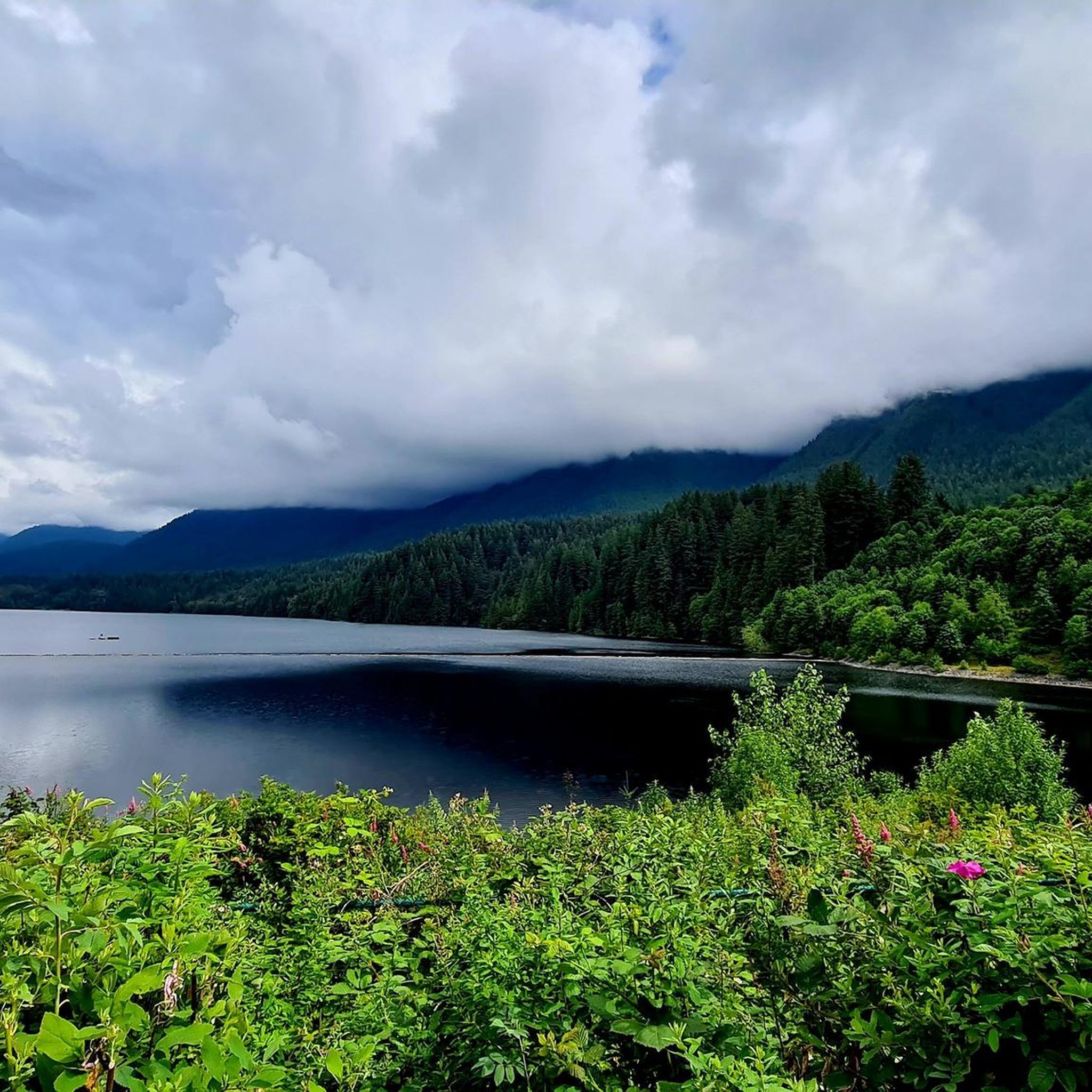
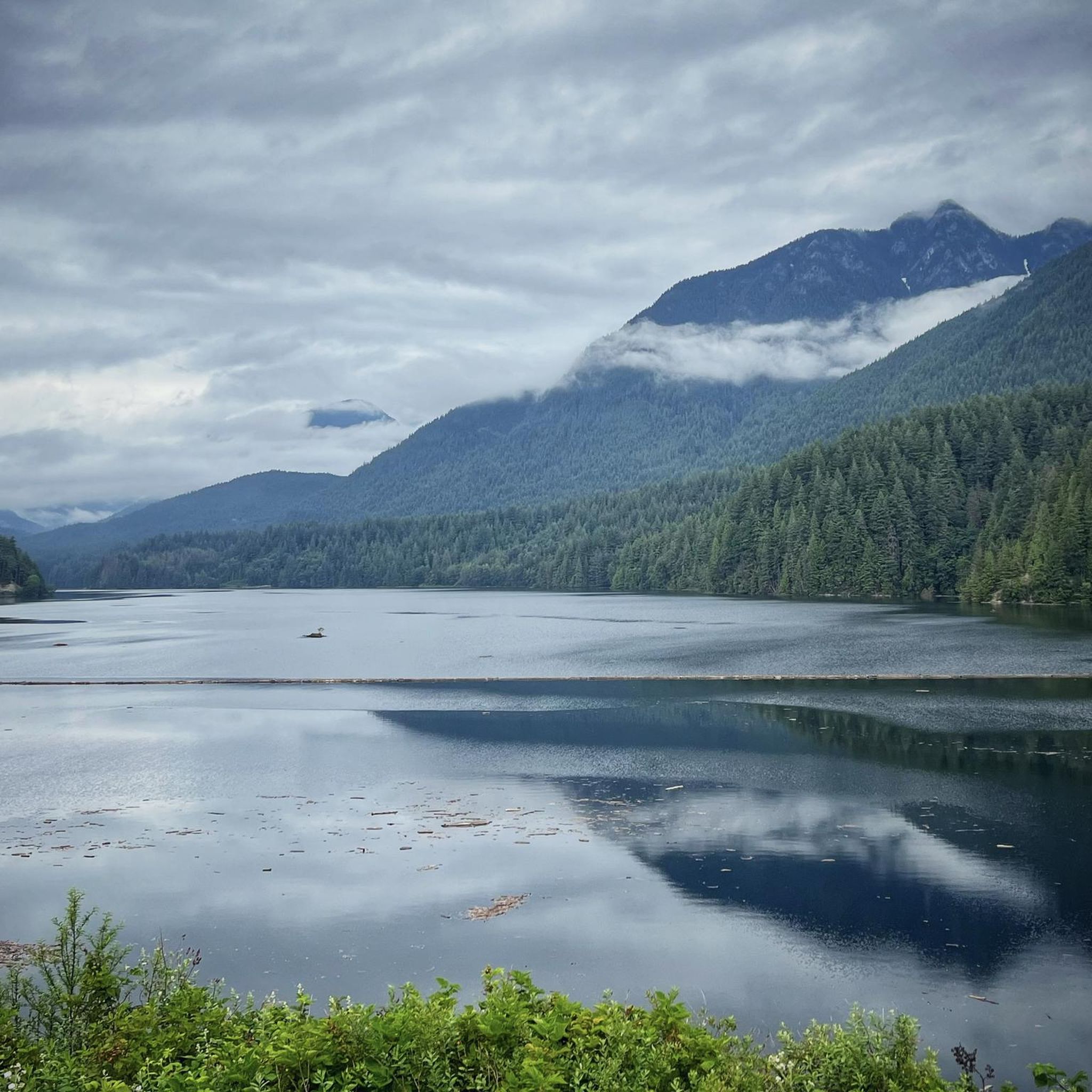
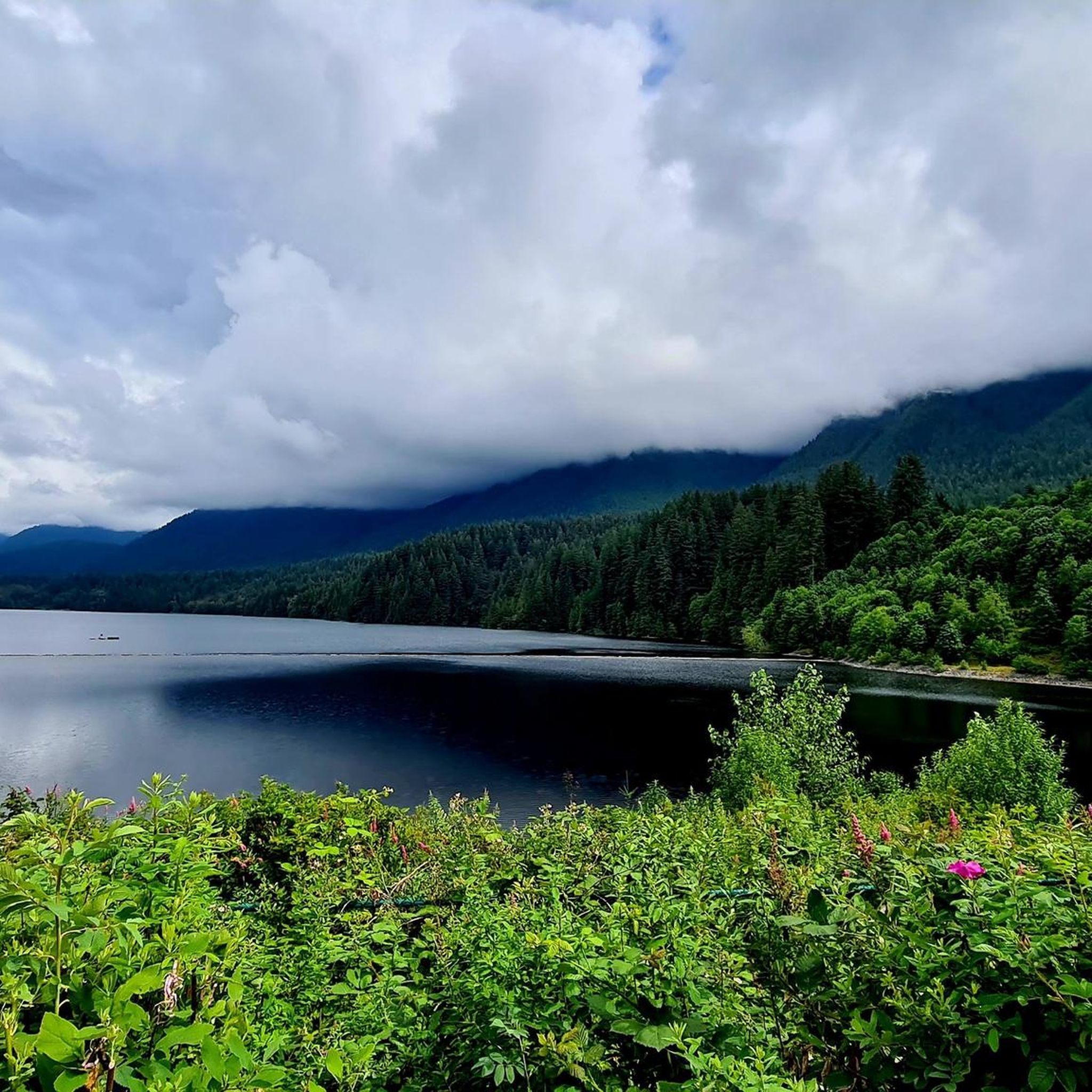
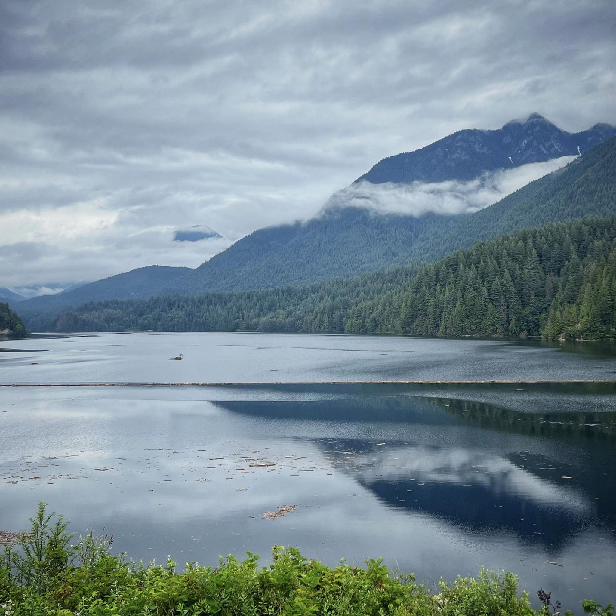
Other adventures in Capilano Watershed

Tips from the Community

This was built as a mountain biking trail, with some sections where riders descend quickly and some with technical features like A-frames. As you hike be sure to keep an eye out for bikers coming down.
0
0

The park is a great place for you to enjoy the fresh air and the tall, shady trees that grow all around. As you walk through the park, you will notice how the thick canopy of leaves keeps the area cool and calm, even on a sunny day.
0
0

A small set of man made cascades along Mosquito Creek that can be seen just a few steps off of Mosquito Creek Trail. The falls can become quite powerful after heavy rainfall.
0
0

Ray Perrault Park is located in the Grandview–Woodland neighborhood and covers a full city block. The park features open green space, a playground, sports courts, and a splash pad that is popular with families during the summer months. It also includes a community garden, which adds to its role as a local gathering place.
0
0
Grand Boulevard Park is a long, linear park located in the North Vancouver. The park runs through the center of the historic Grand Boulevard, creating a wide green corridor that stretches several blocks through the neighborhood. It features open lawns, mature trees, and paved pathways that are popular for walking, jogging, and cycling. The park is also used for community gatherings and seasonal events.
0
0
Mosquito Creek Park is located in North Vancouver, BC. The park is known for its deciduous forest and numerous creeks.
0
0
Grouse Mountain Highway is also called Mountain Highway or Grouse Mountain Road. It is a service road popular with hikers, trail runners, and mountain bikers. Vehicle access is restricted to the public, but you may see the occasional service vehicle.
0
0

The Seymour River Suspension Bridge was completed and opened in December 2018. This made it possible to walk the Fisherman's Trail (North) all the way through again. After the former Twin Bridges had to be demolished in 2014 following a rockslide and damming of the Seymour River, there was no longer a crossing at this point in the Lower Seymour Conservation Reserve. The Twin Bridges were originally built in 1908 to carry pipelines and were later supplemented by a parallel pedestrian bridge. Years later, the two bridges were combined to form one bridge. https://www.vancouvertrails.com/blog/seymour-river-suspension-bridge/
2
0
Frequently Asked Questions
What is the general difficulty level of mountain biking in Capilano Watershed?
The Capilano Watershed offers a wide range of mountain biking experiences. You'll find everything from moderate climbs to highly challenging technical descents. Out of the 32 available routes, 17 are rated as difficult, 11 as moderate, and 4 as easy, ensuring options for various skill levels.
Are there mountain bike trails suitable for beginners in Capilano Watershed?
Yes, there are trails suitable for beginners. While many routes are challenging, the Capilano Watershed does offer 4 easy mountain bike trails. These provide a great way to experience the lush coastal rainforest without overly technical sections.
What kind of terrain can I expect on mountain bike trails in Capilano Watershed?
Expect diverse terrain within a lush coastal rainforest environment. Trails often feature significant elevation changes, ranging from flowy singletrack to technical descents. You'll navigate through dense woodlands, sometimes encountering wooden features and rock slabs, all set against the backdrop of the dramatic river canyon and North Shore Mountains.
Are there any mountain bike trails that offer scenic views in Capilano Watershed?
Absolutely. The Capilano Watershed is known for its breathtaking natural beauty. Many trails offer views of the impressive North Shore Mountains, including peaks like Mount Hanover and The West Lion. You can also find stunning vistas of Capilano Lake and the Capilano River canyon, especially near the Cleveland Dam.
What are some notable attractions or landmarks I can see near the mountain bike trails?
Beyond the trails, the region is rich with natural and man-made attractions. You can visit the impressive Cleveland Dam, which offers views of Capilano Lake. The Capilano River Hatchery is also a popular free attraction where you can learn about fish life cycles and potentially see migrating salmon. For panoramic views, consider visiting Grouse Mountain or the St. Mark's Summit Viewpoint.
Are there any loop trails for mountain biking in Capilano Watershed?
Yes, many of the mountain bike routes in Capilano Watershed are designed as loops, allowing you to start and finish at the same point. For example, the Hunter Park loop from North Vancouver is a moderate 43.5 km trail, and the View over Seymour Reservoir loop from North Vancouver offers a 43.2 km moderate ride.
What do other mountain bikers say about the trails in Capilano Watershed?
The mountain bike trails in Capilano Watershed are highly regarded by the komoot community, with an average rating of 4.3 stars from over 30 reviews. Riders often praise the challenging terrain, the immersive coastal rainforest experience, and the well-maintained sections that offer both technical challenges and flowy rides.
Can I bring my dog on the mountain bike trails in Capilano Watershed?
While the Capilano Watershed is a natural area, specific regulations regarding dogs on mountain bike trails can vary. It's always best to check local signage or the official Capilano River Regional Park website for the most current rules on dog access, especially concerning multi-use trails or protected areas within the watershed.
What is the best time of year to go mountain biking in Capilano Watershed?
The Capilano Watershed's lush coastal rainforest environment means it can be enjoyed for much of the year. However, for the most pleasant conditions, late spring through early fall typically offers drier trails and more predictable weather. Winter riding is possible but can involve wet and muddy conditions due to the region's rainfall.
How long do mountain bike rides typically take in Capilano Watershed?
Ride durations vary significantly based on the trail's length and difficulty, as well as your fitness level. For instance, a difficult route like Grouse Mountain Highway – Mosquito Creek Park loop (18.0 km) can take around 2 hours, while a longer, challenging trail like Severed D – John Deer loop (27.1 km) might take closer to 2 hours and 40 minutes. Moderate routes can also be quite long, such as the Hunter Park loop (43.5 km) which takes nearly 3 hours and 15 minutes.
Are there any specific trails known for technical features or advanced riding?
Yes, the Capilano Watershed is home to trails with significant technical features. Trails like 'Expresso Mountain Bike Trail' have been transformed into modern flow trails with 'black features,' including kickers and rock slabs. 'Severed D' is another technical trail that has seen improvements for a more flowing, yet still challenging, experience. These routes often require advanced skills and good fitness.
Most popular routes in Capilano Watershed
Most popular attractions in Capilano Watershed

Get inspired with the komoot mobile app


Explore more
Browse the best MTB trails in other regions.
