The best running trails in Capilano Watershed
4.7
(97)
7,282
runners
143
runs
Jogging in Capilano Watershed offers a diverse landscape for runners, characterized by its lush coastal rainforest and dramatic canyon walls carved by the Capilano River. The region features a network of trails that wind through old-growth forests, providing impressive views of the river and surrounding North Shore Mountains. Runners can expect varied terrain, from riverside paths to routes with significant elevation gain, all within a natural setting.
Best jogging routes in Capilano Watershed
- The most popular jogging route is Running…
Last updated: June 29, 2026
77
runners
4.86km
01:32
780m
780m
Hard run. Very good fitness required. Sure-footedness, sturdy shoes and alpine experience required.
39
runners
34.3km
05:34
1,660m
1,660m
Hard run. Very good fitness required. Sure-footedness, sturdy shoes and alpine experience required.

Sign up for free
18
runners
27.9km
04:37
1,300m
1,300m
Hard run. Very good fitness required. Sure-footedness, sturdy shoes and alpine experience required.
17
runners
Hard run. Very good fitness required. Sure-footedness, sturdy shoes and alpine experience required.
5.0
(1)
10
runners
Hard run. Very good fitness required. Sure-footedness, sturdy shoes and alpine experience required.
Get access to more routes and recommendations from other explorers.
Sign up for free
Already have an account?
Our route recommendations are based on thousands of hikes, rides, and runs completed by other people on komoot.
Start today with a free account
Your next adventure awaits.
Login or Signup

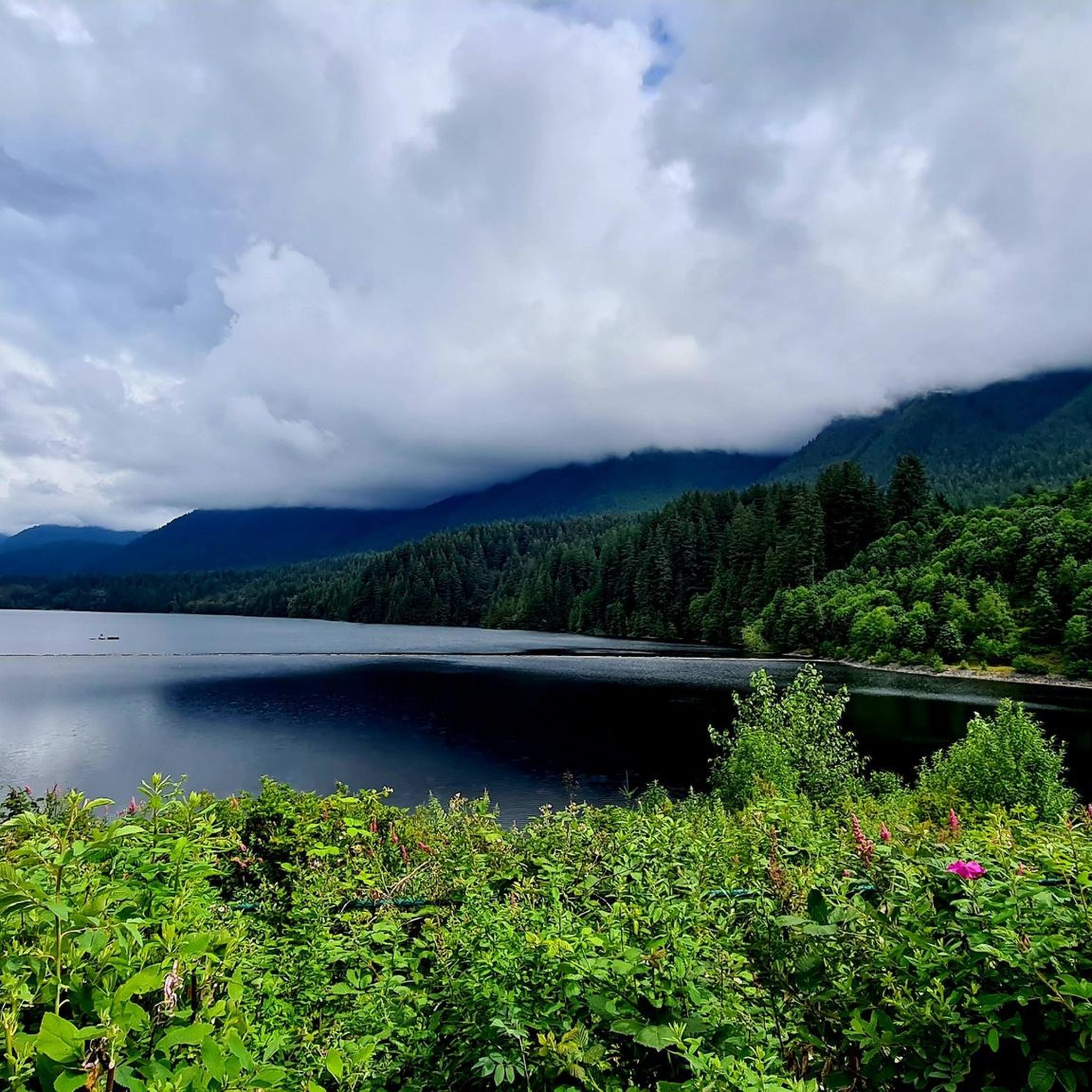
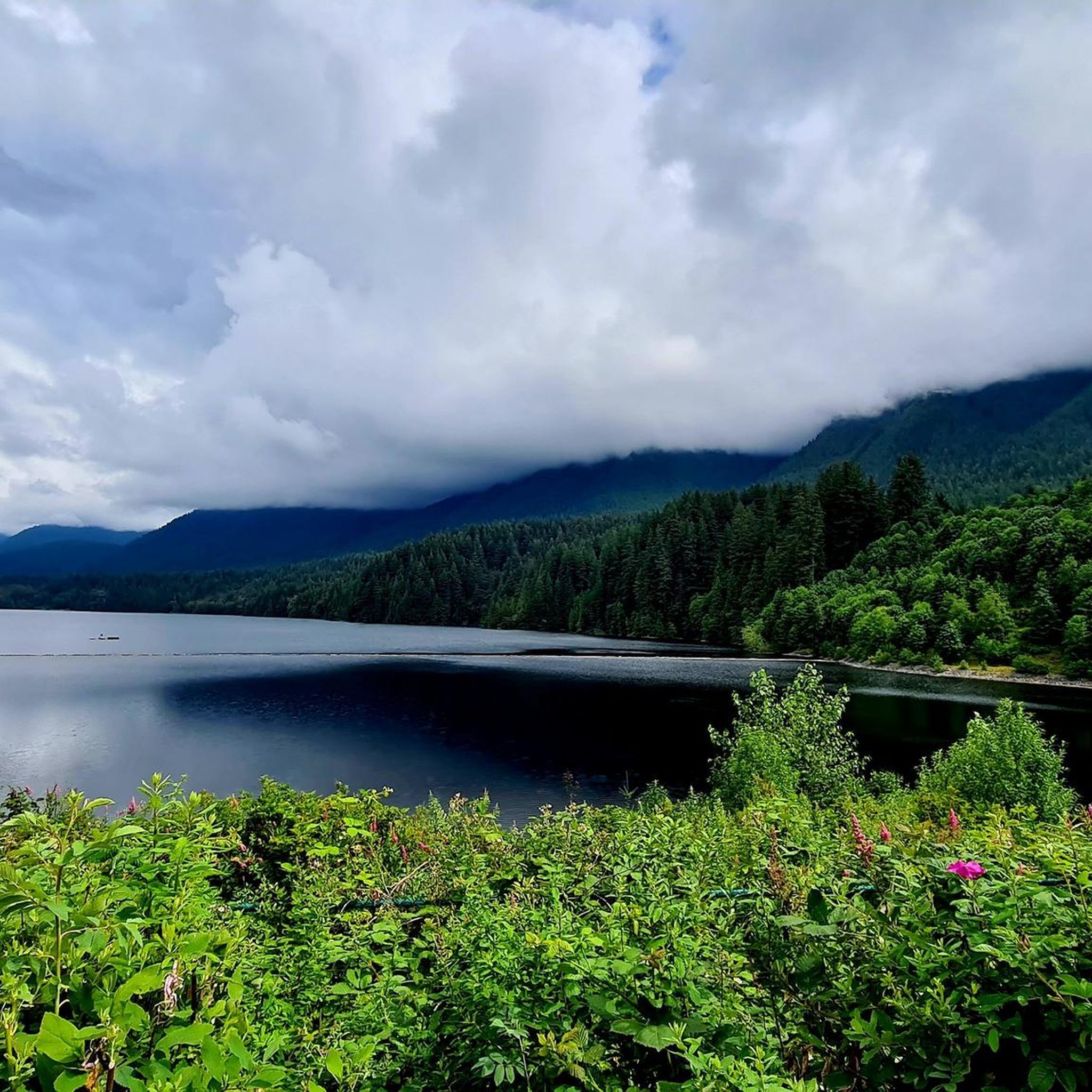
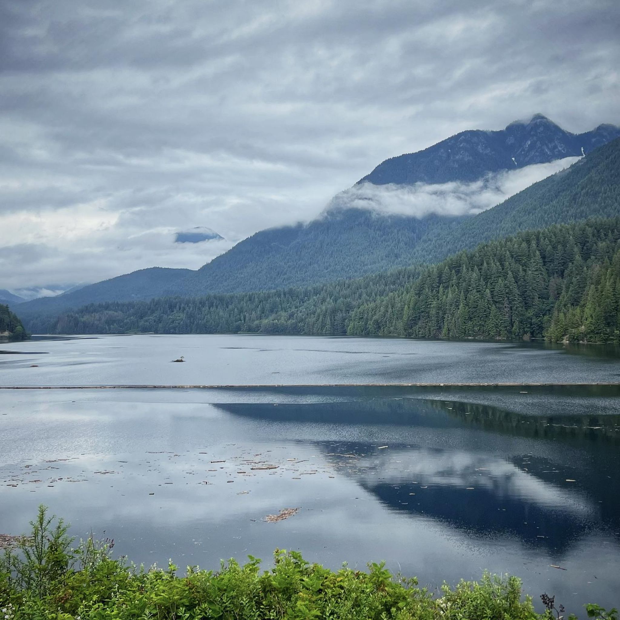
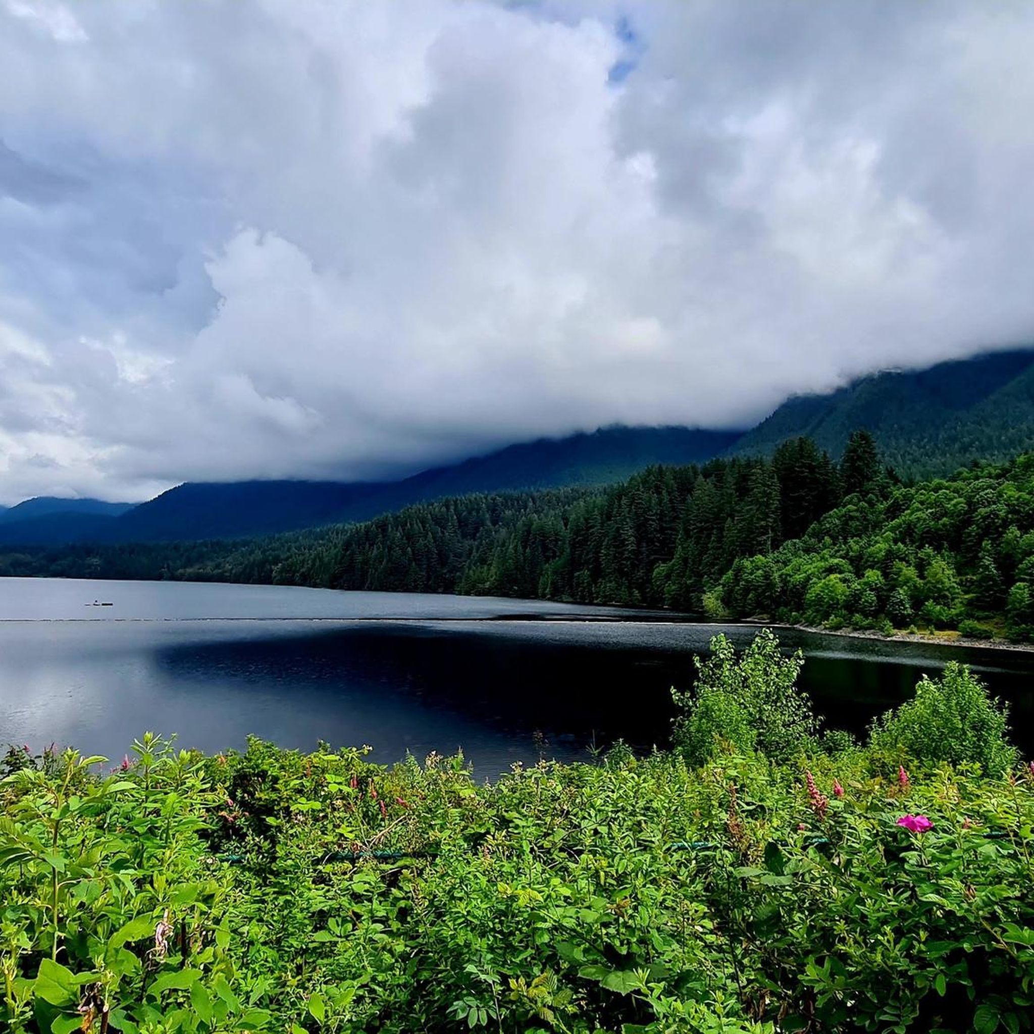
Other adventures in Capilano Watershed

Tips from the Community

The Lynn Canyon suspension bridge is 40 metres long and was originally built in 1912. It is wide enough for two people to pass each other and is suspended 50 metres above the clear waters of Lynn Creek. The bridge will sway and shake, but take a peek over the edge for a breathtaking view.
1
0

This intersection of Crossover Trail and Brothers Creek Trail has up-to-date information on the rebuilding status of a bridge along Crossover Trail that was severely damaged in the storms of 2023.
0
0
This intersection between The Great Trail/ Baden Powell Trail and Incline Railway has important up-to-date information about trail closures due to the removal of a bridge along The Great Trail/ Baden Powell Trail east of this spot that was damaged in storms of 2023.
0
0

The Varley Trail is a multi-use trail in North Vancouver consisting of mostly loose gravel. The trail offers plenty of great views as it winds along Lynn Creek.
0
0

Scary! It's wobbling everywhere.
3
0
Built in 1954, this dam holds back Capilano Lake. It has a pretty impressive 91-metre spillway and is responsible for a large portion of the Lower Mainland's drinking water. The dam is part of the Capilano River Regional Park.
1
0
Capilano Lake is a 270-hectare, man-made reservoir contained by the Cleveland Dam, which was built in 1954, and accounts for about 40% of Vancouver's water supply. Visitors can get stunning views of the long, narrow lake with the Lions Mountains as a backdrop from the dam.
0
0

To be clear, this is not the top of Grouse Mountain, but merely the furthest you can climb by bicycle on a paved road. Here, you'll find a parking lot, washrooms, a water dispenser, a coffee shop, and the base of the Skyride gondola. To get to the top of Grouse Mountain where the views and tourist attractions are, you'll need to either take a gondola ride, hike up the Grouse Grind Trail (https://komoot.com/smarttour/e1816863835), or hike the BCMC Trail (https://komoot.com/highlight/3718910). It is also possible to ride a bike to the top, not through here, but by taking Mountain Highway to the unpaved Grouse Mountain Highway.
0
0
Frequently Asked Questions
What kind of terrain can I expect on the running routes in Capilano Watershed?
The Capilano Watershed offers a diverse range of terrain for runners. You'll find trails winding through lush coastal rainforests with dense vegetation and impressive canyon walls. The paths vary from mostly paved surfaces to more challenging routes with significant elevation gain, often traversing mountainous landscapes. Expect a mix of riverside paths and trails through old-growth forests.
Are there running routes suitable for beginners or those looking for an easier jog?
While many routes in the Capilano Watershed feature significant elevation gain, there are options for various ability levels. The park's network includes paths that are less strenuous, though specific 'easy' routes are fewer compared to moderate and difficult ones. Out of 149 total routes, 5 are categorized as easy, and 72 as moderate, offering a good range for different fitness levels.
What are some notable natural features or landmarks I might see while running in the Capilano Watershed?
Jogging in the Capilano Watershed offers stunning natural beauty. You can expect to see the rugged Capilano River flowing through impressive canyons, majestic old-growth Douglas-firs, and panoramic views from the Cleveland Dam, which also offers sights of the Capilano Lake reservoir and distant Vancouver summits like West Lion. The Grouse Mountain area also provides dramatic mountainous backdrops and viewpoints like St. Mark's Summit Viewpoint.
Are there any family-friendly running trails in the Capilano Watershed?
Yes, the Capilano River Regional Park, which is part of the broader Capilano Watershed, features trails enjoyed by people of all ages, including families. While many routes have elevation, there are loop options and sections that are less strenuous, making them suitable for a family outing. The park's accessibility and varied terrain mean you can find paths that cater to different family fitness levels.
Can I bring my dog on the running trails in Capilano Watershed?
The Capilano River Regional Park is known to be dog-friendly, with many trails enjoyed by dog walkers. It's generally a good idea to keep your dog on a leash and ensure you follow any specific park regulations regarding pets to protect the natural environment and other visitors.
What is the best time of year to go running in the Capilano Watershed?
The Capilano River Regional Park is accessible year-round. The lush coastal rainforest environment is particularly vibrant on misty days, offering a unique atmosphere. While specific seasonal conditions can vary, the trails are generally enjoyable throughout the year. For winter running, be prepared for potentially wet or snowy conditions, especially at higher elevations.
How long do running routes in the Capilano Watershed typically take to complete?
The duration of running routes in the Capilano Watershed varies significantly based on distance and elevation gain. For example, a route like Running loop from Grouse Mountain Skyride Base, which is 3.0 miles (4.9 km) with substantial elevation, can take around 1 hour 31 minutes. Longer, more challenging routes such as Severed D – Varley Trail loop from Grouse Mountain Skyride Base, at 21.2 miles (34.2 km), can take over 5 hours.
Are there any loop running routes available in the Capilano Watershed?
Yes, the Capilano Watershed offers several excellent loop running routes. Popular options include loops around the Cleveland Dam and the Pipeline Bridge, which provide diverse views. The Little Goat Mountain – Goat Mountain loop from Grouse Mountain Skyride Base is another popular 8.2-mile (13.2 km) loop through mountainous landscapes.
Where can I find parking and trailheads for running in the Capilano Watershed?
Parking and trailheads are available at various access points to the Capilano River Regional Park. A common starting point for many routes, including several challenging ones, is near the Grouse Mountain Skyride Base. The Cleveland Dam area also provides access to trails and parking facilities.
Is public transport available to access the running trails in Capilano Watershed?
Yes, the Capilano River Regional Park is conveniently located and accessible via public transport from Vancouver. This makes it easy for runners to reach the trailheads without needing a car, allowing for more flexible route planning.
What do other runners enjoy most about jogging in Capilano Watershed?
The Capilano Watershed is highly rated by the komoot community, with an average score of 4.7 stars from nearly 90 reviews. Runners often praise the immersive experience of jogging through the lush coastal rainforest, the impressive canyon views, and the majestic old-growth forests. The variety of terrain and the sense of being deep within nature, even close to the city, are frequently highlighted.
Are there any less crowded running routes in the Capilano Watershed?
While popular areas like the Cleveland Dam can see more visitors, the extensive network of trails in Capilano River Regional Park offers opportunities to find quieter paths. Exploring some of the longer or more challenging routes, such as the Third Debris Chute loop from Grouse Mountain Skyride Base, might lead to a more solitary running experience, especially during off-peak hours.
Most popular routes in Capilano Watershed
Most popular attractions in Capilano Watershed

Get inspired with the komoot mobile app


Explore more
Browse the best Running Trails & Routes in other regions.
