The best waterfall hikes and walks around Réserve naturelle nationale du Haut-Rhône français
4.4
(1180)
6,247
hikers
34
hikes
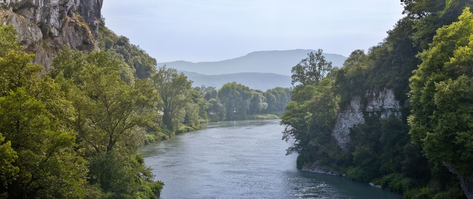
Waterfall hiking trails around Réserve naturelle nationale du Haut-Rhône français are characterized by the presence of the Rhône river and its tributaries, which create various cascades and water features. The region is situated on the upper alluvial plain of the Rhône River, featuring diverse riverine landscapes, including "lônes" (river branches) and islands. Terrain often includes riparian forests, floodable meadows, and some elevated sections offering views of the valley. These trails provide opportunities to experience the region's natural water formations and…
Last updated: October 26, 2026
4.5
(2)
15
hikers
16.1km
04:43
260m
260m
Moderate hike. Good fitness required. Mostly walkable paths. Sure-footedness required.
4.4
(14)
105
hikers
8.25km
02:43
230m
230m
Moderate hike. Good fitness required. Mostly walkable paths. Sure-footedness required.

4.5
(2)
12
hikers
17.2km
05:44
720m
720m
Hard hike. Very good fitness required. Mostly walkable paths. Sure-footedness required.
4.2
(6)
20
hikers
6.29km
01:37
30m
30m
Easy hike. Easily walkable paths.
6
hikers
5.93km
01:31
20m
20m
Easy hike. Easily walkable paths.
Get access to more routes and recommendations from other explorers.
Already have an account?
Our route recommendations are based on thousands of hikes, rides, and runs completed by other people on komoot.
Start today with a free account
Your next adventure awaits.
Popular around Réserve naturelle nationale du Haut-Rhône français
Other adventures around Réserve naturelle nationale du Haut-Rhône français


Tips from the Community

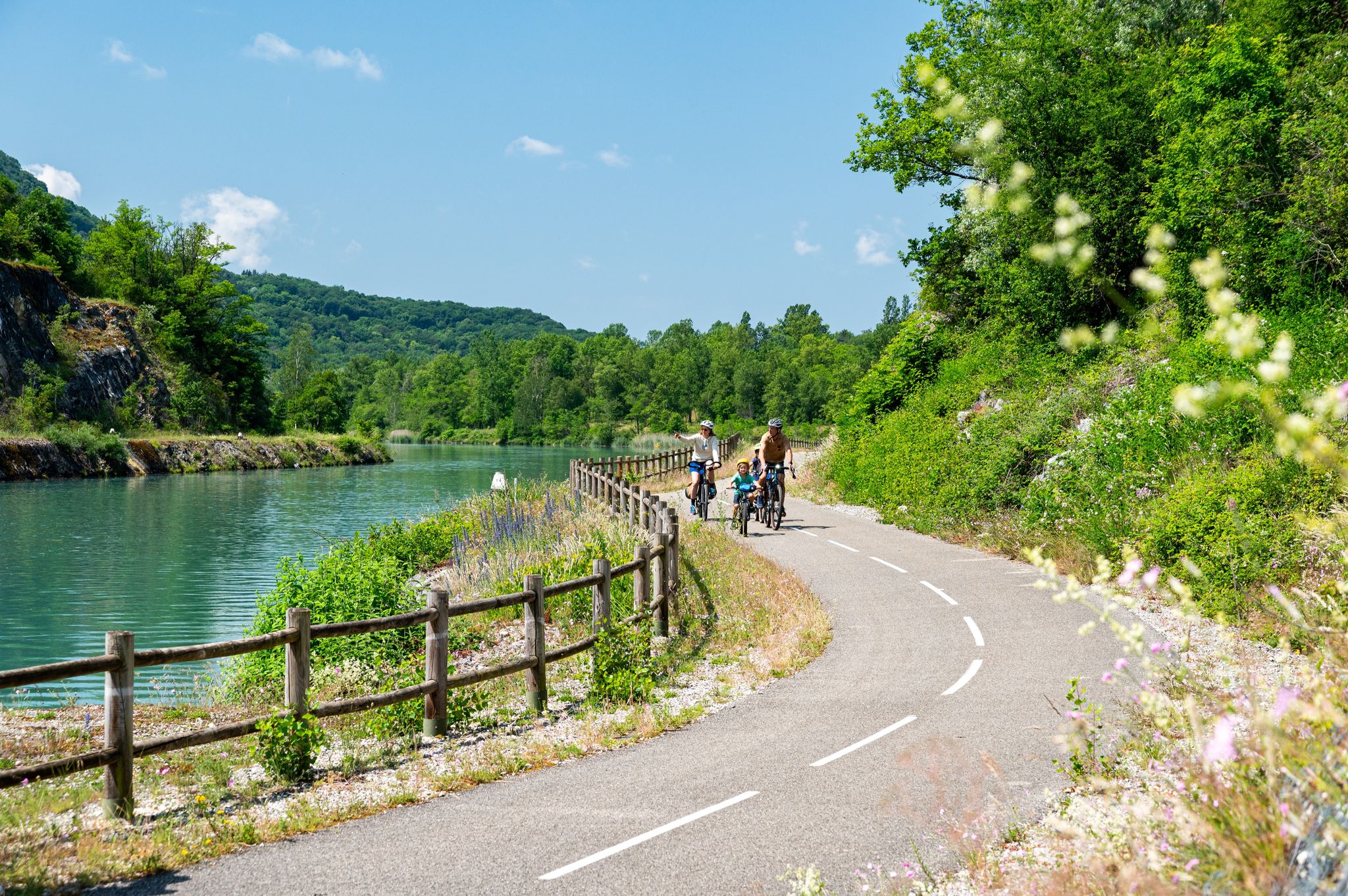
The area is located on the border between the departments of Isère and Ain, right next to the Pont d’Évieu. A specific ViaRhôna link allows you to reach the center of the commune of Les Avenières directly from this point via small country roads.
0
0

Wow, what a beautiful waterfall! 🤩🤩
1
0

A must-see spot in the region, magnificent and impressive, but be careful of the incredible number of tourists in case of good weather during the day, choose to go there early in the morning!
1
0
The cave is bigger than it seems when you go inside.
2
0


Shady lawn, picnic areas and rubbish bins (on the side that does not face the Rhone). toilets nearby
0
0
Frequently Asked Questions
How many waterfall hiking trails are there in Réserve naturelle nationale du Haut-Rhône français?
There are 28 waterfall hiking trails available in the Réserve naturelle nationale du Haut-Rhône français region. These routes offer a variety of experiences, from easy strolls to more challenging hikes.
Are there easy waterfall hikes suitable for beginners?
Yes, the region offers 9 easy waterfall hiking trails. A great option for beginners is the Glandieu Waterfall loop from Cité Ampère, which is 4.0 miles (6.5 km) long and takes approximately 1 hour 40 minutes to complete, offering direct access to the Glandieu Waterfall.
What is the typical length and duration of waterfall trails in this area?
The waterfall trails in Réserve naturelle nationale du Haut-Rhône français vary in length and duration. For instance, an easy route like the Glandieu Waterfall loop from Brégnier-Cordon is about 3.9 miles (6.2 km) and takes around 1 hour 36 minutes, while a moderate trail such as the View of the Rhône Valley – Cabane à livres loop from Cascade de Glandieu extends to 7.1 miles (11.5 km) and can take over 3 hours 45 minutes.
Are there family-friendly waterfall hiking options?
Many of the easy trails are suitable for families. The paths around the Glandieu Waterfall are generally well-maintained and offer accessible views of the cascades, making them ideal for outings with children. Always check the specific route details for elevation and terrain to ensure it matches your family's ability.
Can I bring my dog on the waterfall hiking trails?
While many trails in natural areas are dog-friendly, it's always best to check local regulations for specific paths within the Réserve naturelle nationale du Haut-Rhône français. Generally, dogs are welcome on a leash, but some protected areas or private lands may have restrictions. Ensure your dog is comfortable with varied terrain and water features.
When is the best time of year to visit the waterfalls?
The best time to visit the waterfalls in Réserve naturelle nationale du Haut-Rhône français is typically in spring (April to June) when snowmelt increases water flow, making the cascades particularly impressive. Autumn (September to October) also offers beautiful scenery with changing foliage and pleasant hiking temperatures. Summer can be warm, but the waterfalls provide a refreshing escape.
Are there challenging waterfall trails for experienced hikers?
Yes, for those seeking more challenge, there are 4 difficult trails in the region. Additionally, several moderate routes feature significant elevation gain, such as the View of the Rhône Valley loop from Brégnier, which includes ascents providing panoramic views and covers 4.6 miles (7.4 km) with over 230 meters of elevation.
Are there circular waterfall walks available?
Many of the trails in the Réserve naturelle nationale du Haut-Rhône français are designed as circular routes, allowing you to start and end at the same point. For example, the Glandieu Waterfall – View of the Rhône Valley loop from Cordon is a circular trail that combines waterfall views with elevated perspectives over the Rhône Valley.
What do other hikers enjoy most about the waterfall trails in this region?
The area is highly rated by the komoot community, with an average score of 4.5 stars from over 900 reviews. Hikers often praise the diverse landscapes, combining impressive waterfalls with scenic views of the Rhône Valley, and the variety of routes suitable for different fitness levels.
Is parking available near the waterfall hiking trails?
Parking is generally available at or near the trailheads for popular waterfall hikes, especially around sites like the Glandieu Waterfall. It's advisable to check specific route descriptions or local signage for designated parking areas before your visit, particularly during peak seasons.
Are there any wild swimming spots near the waterfalls?
While the waterfalls themselves are often not suitable or safe for swimming due to strong currents or protected status, the Réserve naturelle nationale du Haut-Rhône français is characterized by the Rhône river and its tributaries. You might find designated swimming areas or calmer spots along the river or nearby lakes, but always prioritize safety and adhere to local regulations regarding swimming in natural waters.
What should I wear for waterfall hikes in this region?
Given the varied terrain and proximity to water, it's recommended to wear sturdy, waterproof hiking boots with good grip. Layers of clothing are advisable, as temperatures can change, and a waterproof jacket is useful for spray near the waterfalls or unexpected rain. Don't forget sun protection and plenty of water.
Most popular routes around Réserve naturelle nationale du Haut-Rhône français
Most popular attractions around Réserve naturelle nationale du Haut-Rhône français

Get inspired with the komoot mobile app


Explore more
Browse the best Hikes in other regions.
