Réserve naturelle nationale du Haut-Rhône français
Réserve naturelle nationale du Haut-Rhône français
The best gravel rides around Réserve naturelle nationale du Haut-Rhône français
4.6
(24)
146
riders
15
rides
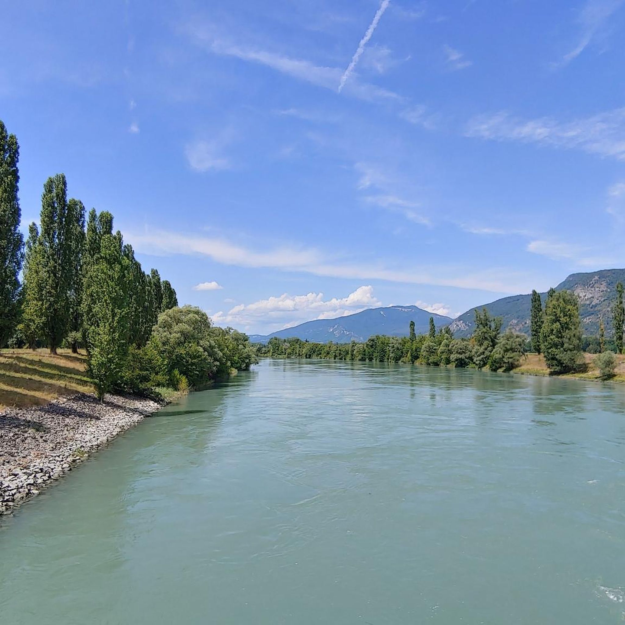
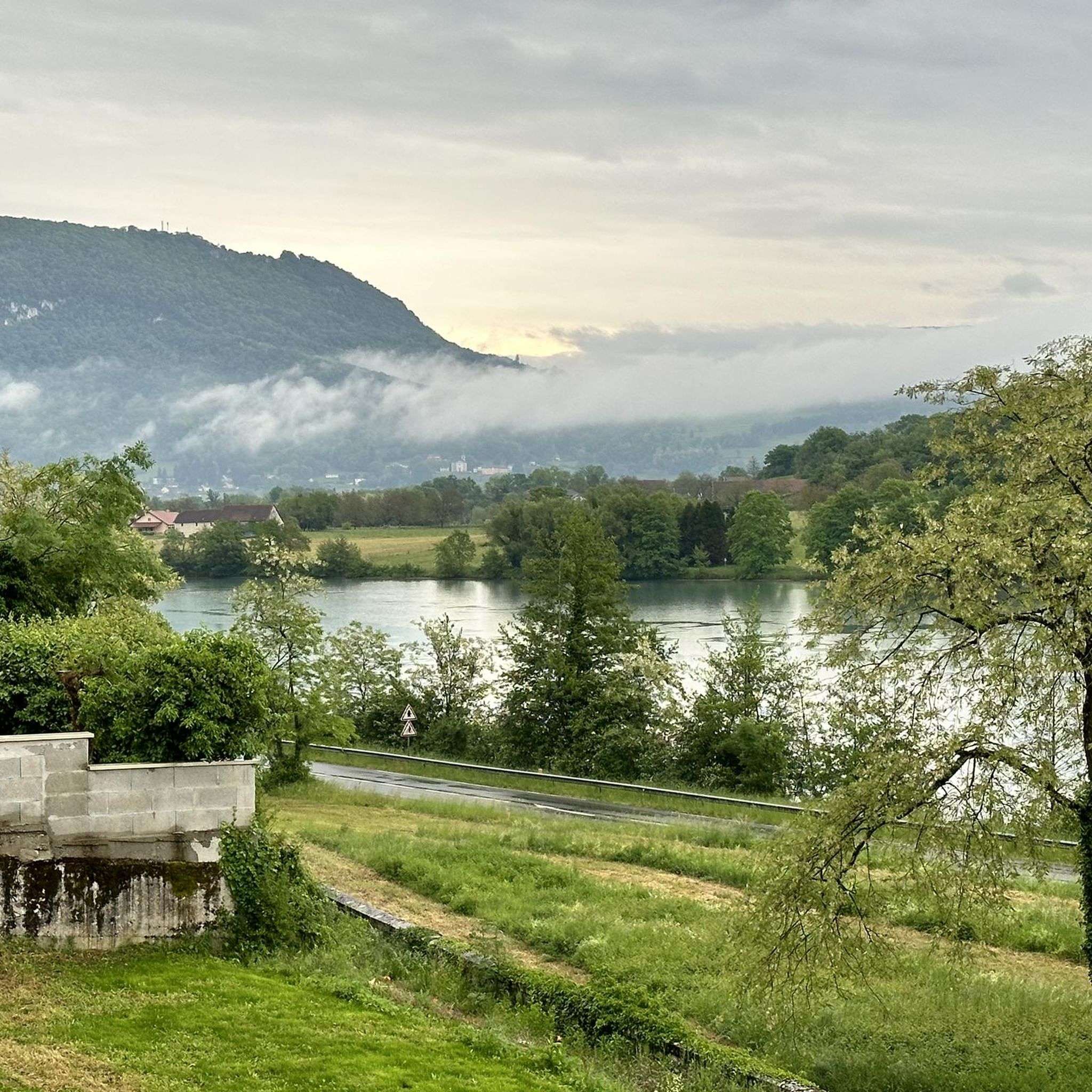
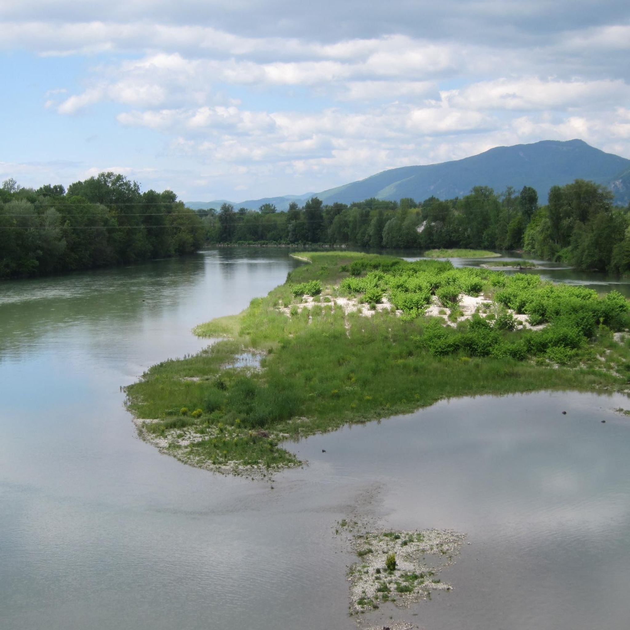
Gravel biking around Réserve naturelle nationale du Haut-Rhône français offers routes through a landscape shaped by the Rhône river and its surrounding natural areas. The region is characterized by vast alluvial plains, riparian forests, and "lônes" (braided river arms), providing diverse habitats. Terrain includes natural paths, sections alongside aquatic areas, and some hilly sections, with a mix of road and trail surfaces. Elevations are generally gentle, with minor hills rather than significant climbs, making it suitable for gravel cyclists.
Best…
Last updated: July 2, 2026
4.3
(6)
14
riders
44.3km
02:34
150m
150m
Moderate gravel ride. Good fitness required. Mostly paved surfaces. Suitable for all skill levels.
5.0
(1)
5
riders
17.7km
01:10
70m
70m
Easy gravel ride. Great for any fitness level. Mostly paved surfaces. Suitable for all skill levels.

Sign up for free
5.0
(1)
6
riders
Easy gravel ride. Great for any fitness level. Mostly paved surfaces. Suitable for all skill levels.
4.6
(8)
23
riders
Hard gravel ride. Very good fitness required. Mostly paved surfaces. Suitable for all skill levels.
4.0
(2)
8
riders
32.9km
02:03
200m
190m
Moderate gravel ride. Good fitness required. Mostly paved surfaces. Suitable for all skill levels.
Get access to more routes and recommendations from other explorers.
Sign up for free
Already have an account?
Our route recommendations are based on thousands of hikes, rides, and runs completed by other people on komoot.
Start today with a free account
Your next adventure awaits.
Login or Signup
Popular around Réserve naturelle nationale du Haut-Rhône français
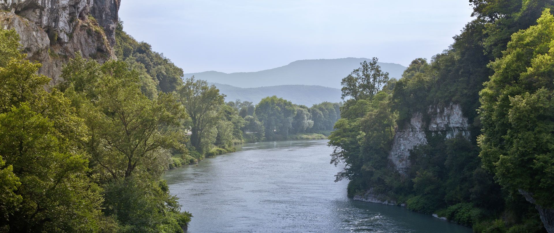
Rhone Cycle Route — From the southern Jura to Lyon
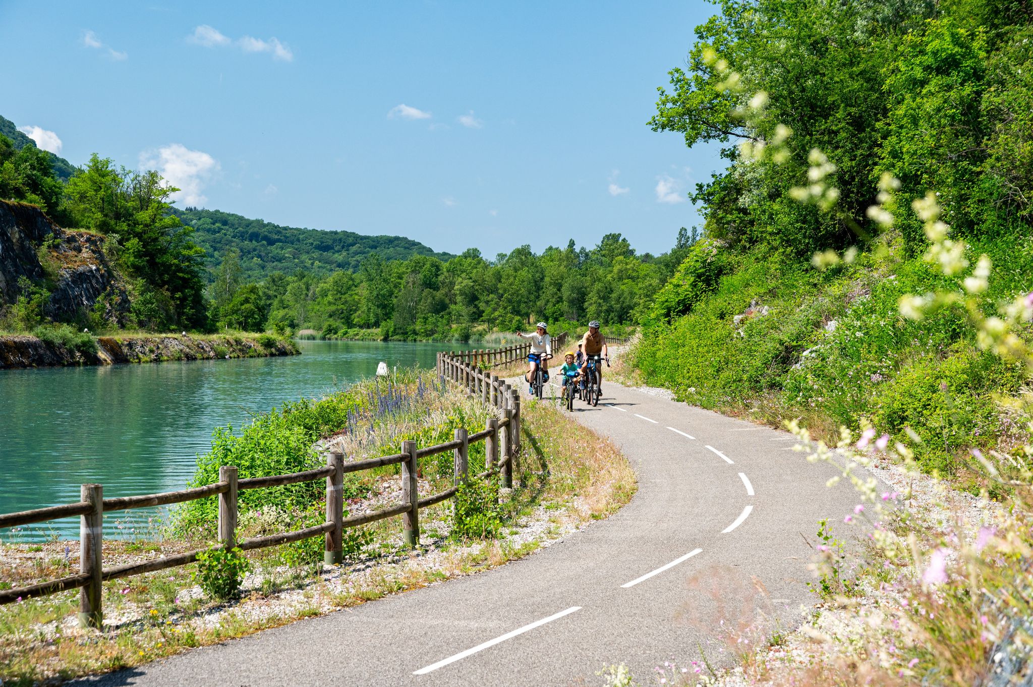
ViaRhôna — ride from the Alps to the Mediterranean
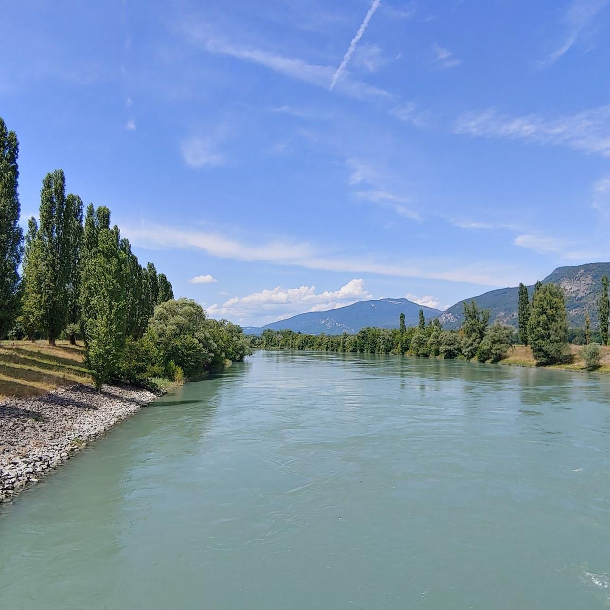
Hiking around Réserve naturelle nationale du Haut-Rhône français
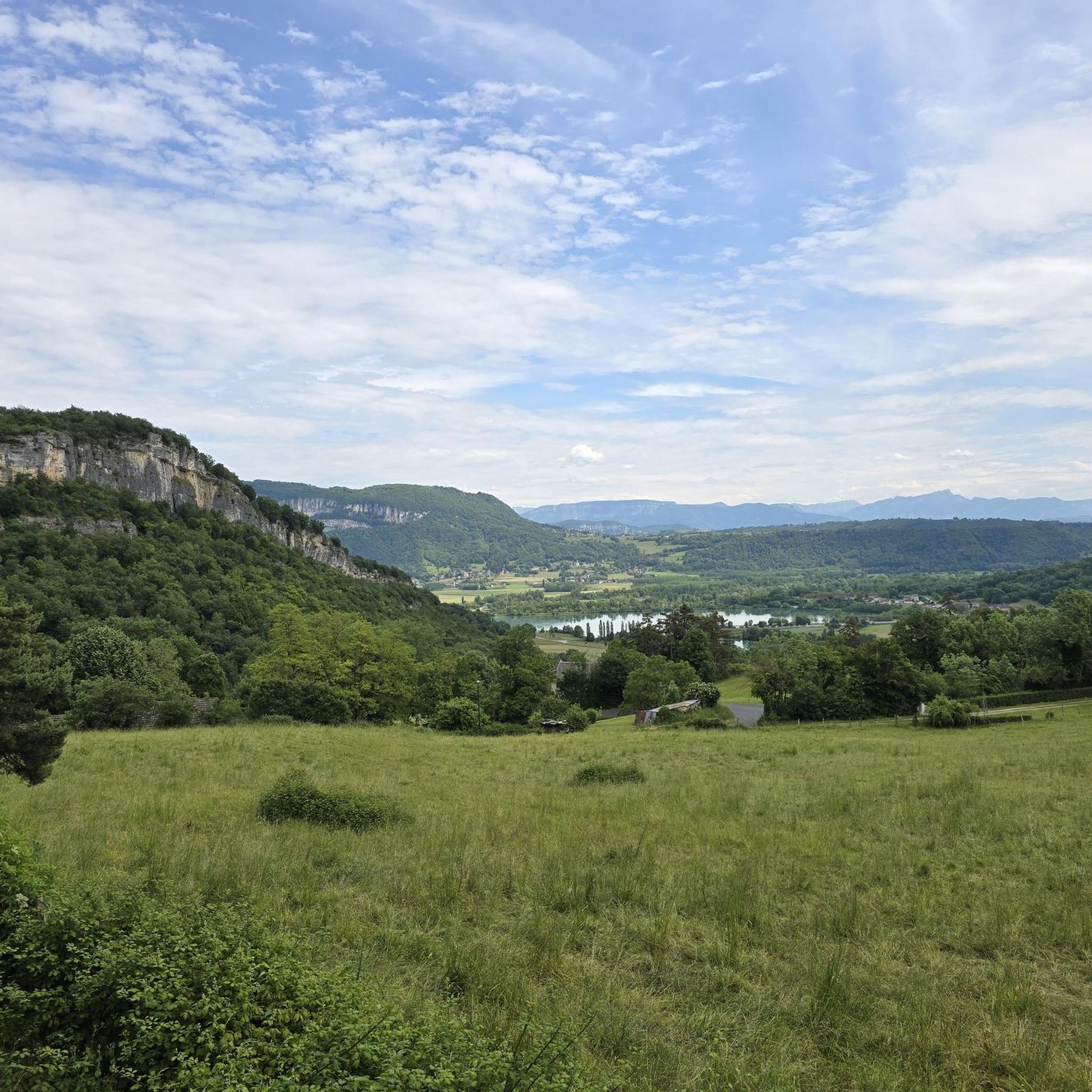
Cycling around Réserve naturelle nationale du Haut-Rhône français
Road Cycling Routes around Réserve naturelle nationale du Haut-Rhône français
Running Trails around Réserve naturelle nationale du Haut-Rhône français
MTB Trails around Réserve naturelle nationale du Haut-Rhône français
Other adventures around Réserve naturelle nationale du Haut-Rhône français


Tips from the Community


A nice little village, ideal for a break
0
0
Unfortunately I did not see this cow statue
0
0
A famous praline brioche 😃
0
0

Very beautiful and natural tower 🤩
0
0

A beautiful bridge that crosses the Rhône and demarcates a departmental boundary. It even offers a view of a castle!
1
0

Beautiful view of the Rhône and the Jura mountains
0
0

A pretty, medieval town that is certainly worth more time to visit than we could take while driving through.
0
0
Frequently Asked Questions
How many gravel bike trails are available in the Réserve naturelle nationale du Haut-Rhône français?
There are 29 gravel bike trails documented on komoot for the Réserve naturelle nationale du Haut-Rhône français, offering a wide range of options for different skill levels and preferences.
Are there easy gravel bike trails suitable for beginners in this region?
Yes, the region offers several easy gravel bike trails perfect for beginners. For instance, the Lac de Barterand – Beautiful view over the Rhône loop from Brégnier is an accessible 12.7-mile (20.5 km) route that provides gentle terrain and scenic views without significant climbs.
What is the typical length and duration of gravel bike trails in the Haut-Rhône français?
Trail lengths vary significantly, from shorter loops around 12 miles (20 km) to longer, more challenging routes exceeding 60 miles (95 km). For example, the Groslée Bridge – Lac de Barterand loop from Murs-et-Gélignieux is a moderate 30.4-mile (48.9 km) path, typically taking around 2 hours 47 minutes to complete.
Are there any challenging or advanced gravel bike routes for experienced riders?
Yes, for experienced riders seeking a challenge, there are 17 difficult routes available. The Savière Canal – Savière Canal loop from Groslée-Saint-Benoit is a demanding 60.2-mile (96.9 km) route with over 1,300 feet (400 meters) of elevation gain, offering a significant workout.
What is the best time of year for gravel biking in the Réserve naturelle nationale du Haut-Rhône français?
The spring and autumn months generally offer the most pleasant conditions for gravel biking in the Haut-Rhône français, with milder temperatures and beautiful natural scenery. Summer can also be enjoyable, especially in the mornings or late afternoons, though it can be warmer.
Are there loop gravel bike trails available in the region?
Yes, many of the gravel bike trails in the Réserve naturelle nationale du Haut-Rhône français are designed as loops, allowing you to start and finish at the same point. An example is the Virignin footbridge – Virignin la Balme footbridge loop from Brangues, a 45.7-mile (73.5 km) circular route.
What kind of terrain can I expect on gravel bike trails in this natural reserve?
The terrain in the Réserve naturelle nationale du Haut-Rhône français is diverse, featuring riverine paths along the Rhône, agricultural lands, and sections of woodland. You'll encounter varied surfaces typical for gravel biking, with generally gentle elevations and some minor hills rather than steep climbs.
Are there opportunities for wildlife spotting along the gravel bike routes?
As a national natural reserve, the area is rich in biodiversity. Cycling through the reserve's varied habitats, especially along the river and through woodlands, provides excellent opportunities for observing local wildlife, including various bird species and other small animals.
What do other gravel bikers enjoy most about gravel biking in Réserve naturelle nationale du Haut-Rhône français?
The area is highly rated by the komoot community, with an average score of 4.6 stars from over 30 reviews. Reviewers often praise the diverse natural scenery, the well-maintained paths, and the peaceful atmosphere that allows for an immersive outdoor experience along the Rhône river and its surrounding landscapes.
Are there gravel bike routes that offer scenic viewpoints?
Many routes in the region offer picturesque views, particularly those that follow the Rhône river or pass by Lac de Barterand. The Lac de Barterand – Beautiful view over the Rhône loop from Brégnier, for instance, is specifically highlighted for its scenic outlooks over the river and surrounding nature.
Can I find gravel bike trails that pass near villages or places to stop for refreshments?
Yes, many routes are designed to pass through or near charming villages where you can find cafes, bakeries, or small shops for refreshments. Starting or ending your ride in towns like Brangues, Murs-et-Gélignieux, or Groslée-Saint-Benoit often provides convenient access to amenities.
Is it possible to access these gravel bike trails using public transport?
While specific public transport links directly to every trailhead might be limited, major towns and villages in the vicinity of the Réserve naturelle nationale du Haut-Rhône français are typically served by regional bus lines or train stations, from which you can cycle to the starting points of many routes.
Are there any long-distance gravel biking options in the area?
For those looking for longer rides, routes like the Groslée Bridge – Virignin footbridge loop from Groslée-Saint-Benoit offer a substantial distance of 44.9 miles (72.3 km) with notable elevation changes, providing a full day's adventure through the diverse landscapes of the reserve.
Most popular routes around Réserve naturelle nationale du Haut-Rhône français

Get inspired with the komoot mobile app


Explore more
Browse the best Gravel rides in other regions.
