Réserve naturelle nationale du Haut-Rhône français
Réserve naturelle nationale du Haut-Rhône français
The best running trails around Réserve naturelle nationale du Haut-Rhône français
4.1
(83)
2,750
runners
311
runs
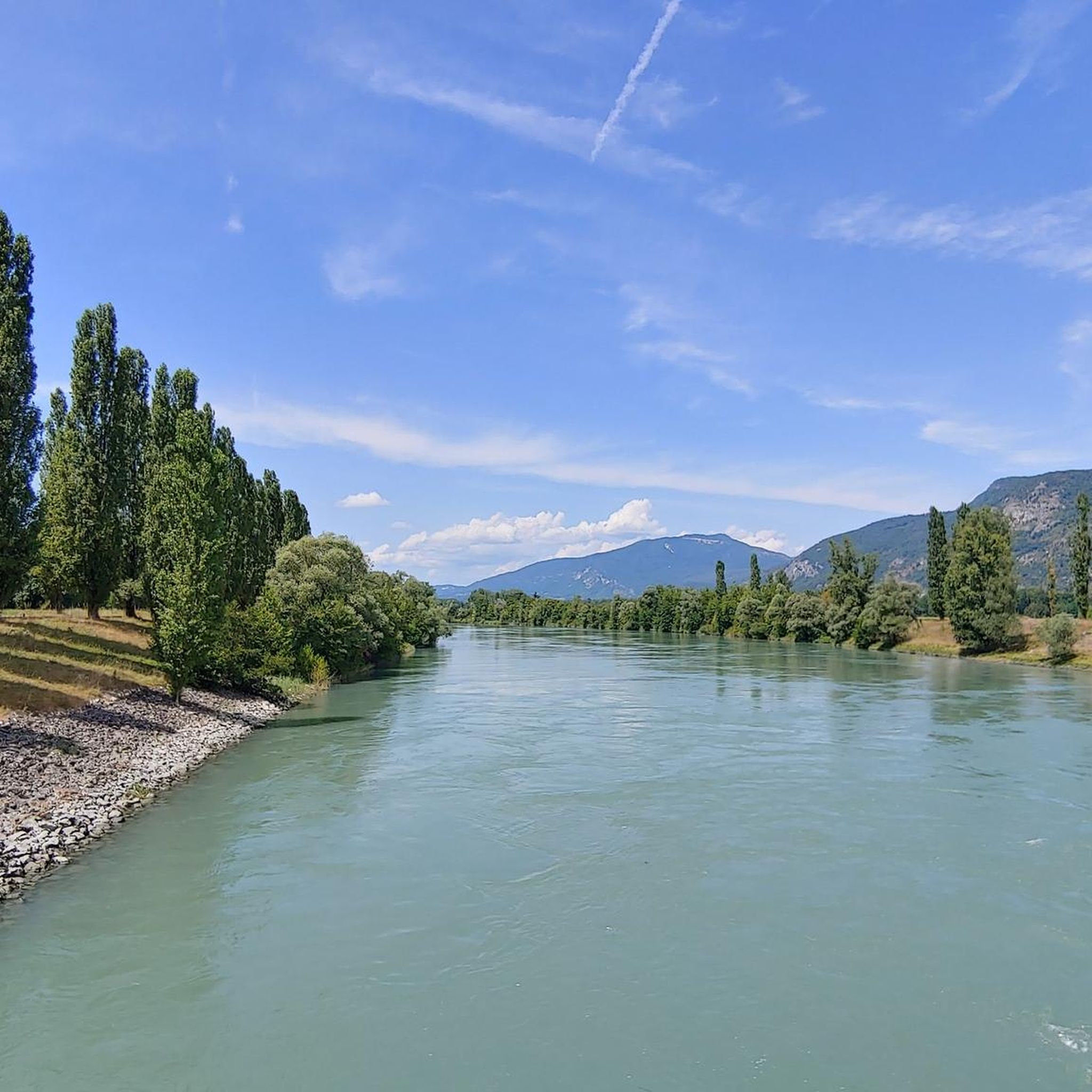
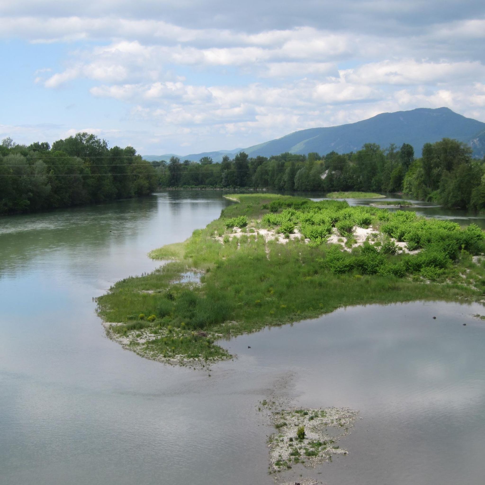
Jogging routes around Réserve naturelle nationale du Haut-Rhône français traverse a protected area extending along the Rhône River, characterized by its diverse riverine landscapes. The terrain primarily consists of flat alluvial forests, wetlands, and numerous islands, with minimal elevation changes. This region is known for its extensive network of trails that follow the Rhône and its secondary river arms, locally known as "lônes."
Best jogging routes around Réserve naturelle nationale du Haut-Rhône français
- The most popular jogging route is Gippet…
Last updated: November 1, 2026
28
runners
10.9km
01:08
10m
10m
Moderate run. Good fitness required. Mostly paved surfaces.
5.0
(2)
18
runners
14.0km
01:31
30m
40m
Moderate run. Good fitness required. Mostly paved surfaces.

21
runners
6.84km
00:42
20m
20m
Moderate run. Good fitness required. Mostly paved surfaces.
5.0
(2)
17
runners
Moderate run. Good fitness required. Mostly paved surfaces.
5.0
(1)
21
runners
13.7km
01:26
50m
50m
Moderate run. Good fitness required. Mostly paved surfaces.
Get access to more routes and recommendations from other explorers.
Already have an account?
Our route recommendations are based on thousands of hikes, rides, and runs completed by other people on komoot.
Start today with a free account
Your next adventure awaits.
Popular around Réserve naturelle nationale du Haut-Rhône français
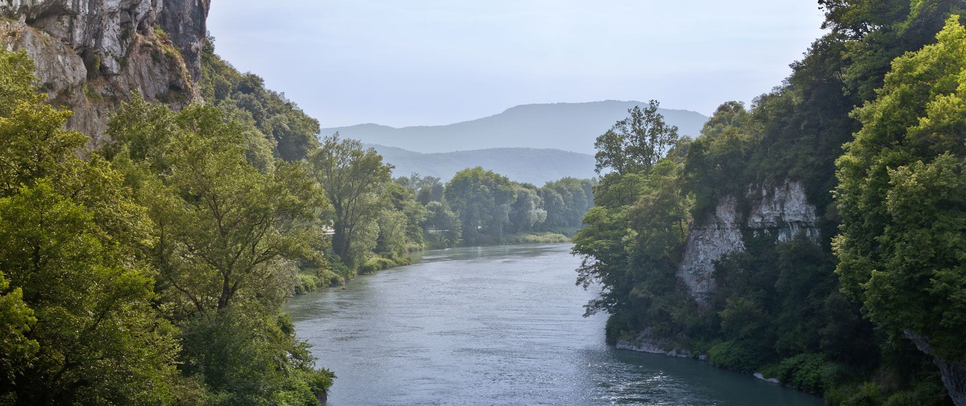
Rhone Cycle Route — From the southern Jura to Lyon
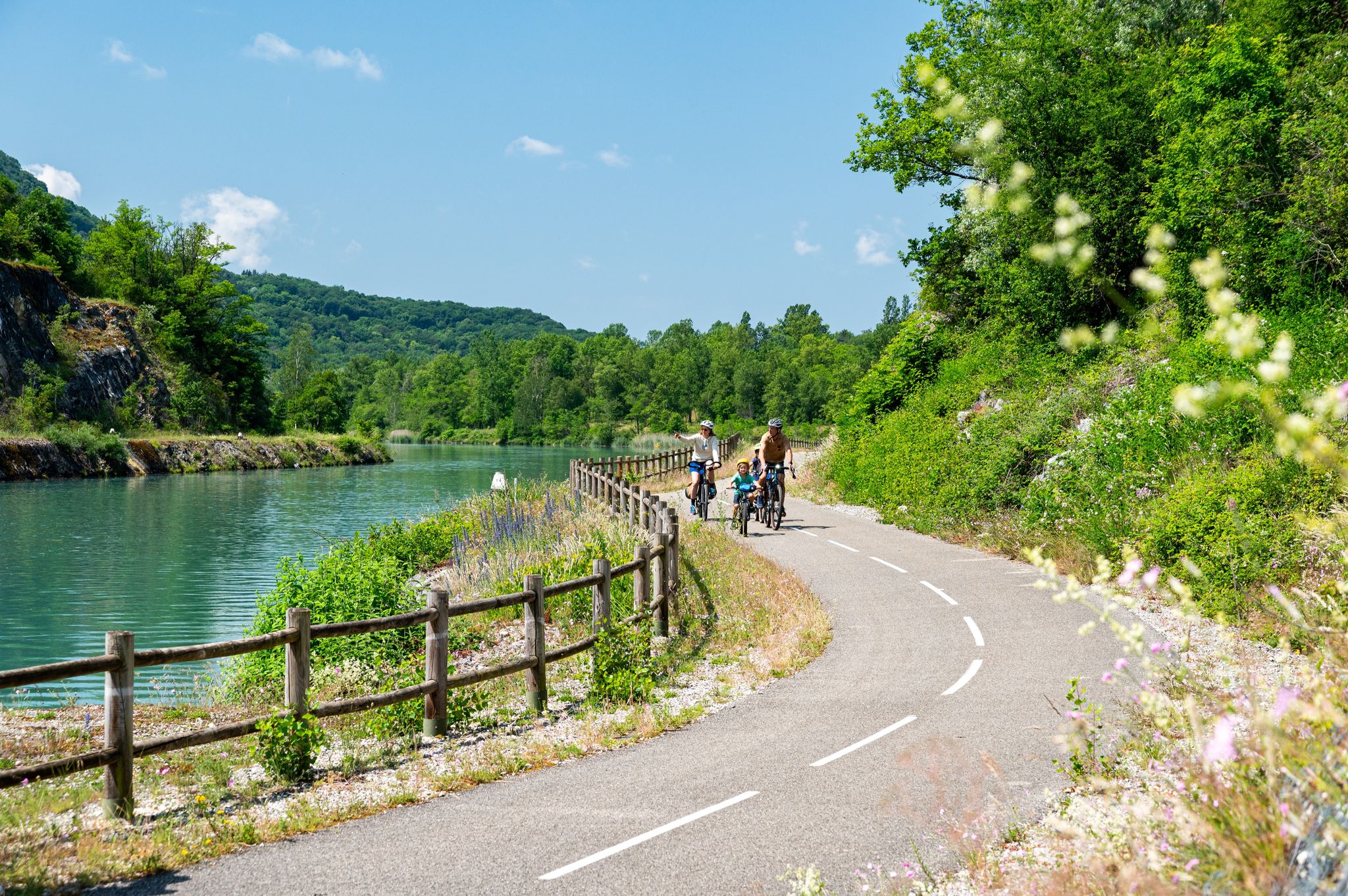
ViaRhôna — ride from the Alps to the Mediterranean
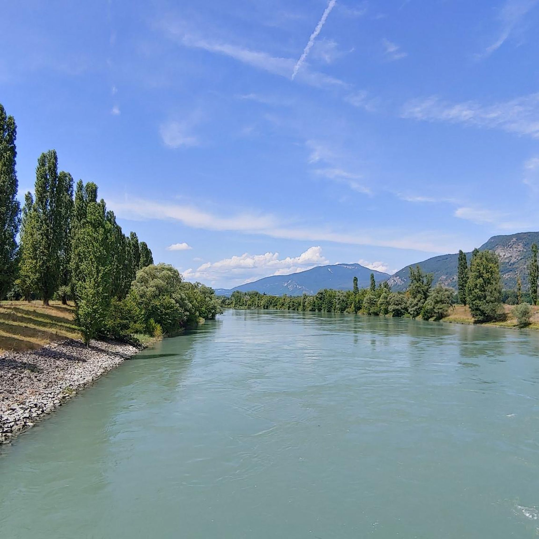
Hiking around Réserve naturelle nationale du Haut-Rhône français
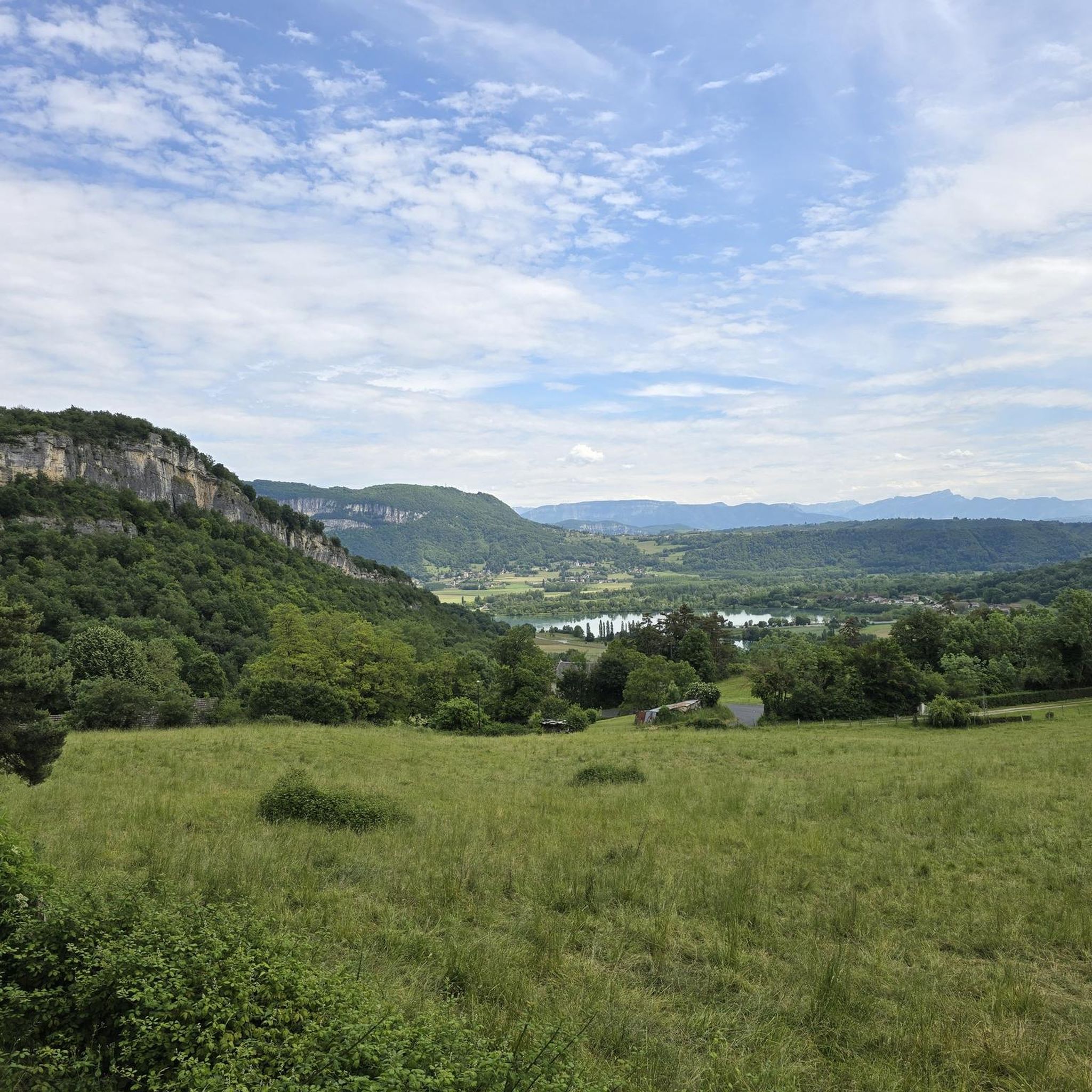
Cycling around Réserve naturelle nationale du Haut-Rhône français
Road Cycling Routes around Réserve naturelle nationale du Haut-Rhône français
MTB Trails around Réserve naturelle nationale du Haut-Rhône français

Gravel biking around Réserve naturelle nationale du Haut-Rhône français
Other adventures around Réserve naturelle nationale du Haut-Rhône français


Tips from the Community

The site is freely accessible on foot and offers four major marked routes to gently explore its riches.
0
0
The area is located on the border between the departments of Isère and Ain, right next to the Pont d’Évieu. A specific ViaRhôna link allows you to reach the center of the commune of Les Avenières directly from this point via small country roads.
0
0

Beautiful view of the Rhône and the Jura mountains
0
0

The Groslée bridge is a suspension bridge crossing the Rhône between the municipalities of Groslée-Saint-Benoit (Ain) and Brangues (Isère). Designed by Ferdinand Arnodin and completed in 1912, it has a main span of 177.21 m in length. Source: Wikipedia
0
0


Shady lawn, picnic areas and rubbish bins (on the side that does not face the Rhone). toilets nearby
0
0

A pleasant place to stop and have a picnic on the ViaRhôna cycle path.
1
0
A beautiful part of the Via Rhôna which crosses the National Nature Reserve of the French Haut-Rhône.
2
0
Frequently Asked Questions
How many running routes are available in the Réserve naturelle nationale du Haut-Rhône français?
There are over 290 running routes available in and around the Réserve naturelle nationale du Haut-Rhône français. These routes offer a diverse range of experiences, from easy paths to more moderate challenges, all set within the unique riverine landscape.
What kind of terrain can I expect on the jogging trails in this region?
The terrain primarily consists of flat alluvial forests, wetlands, and numerous islands, with minimal elevation changes. You'll find extensive networks of trails following the Rhône River and its secondary river arms, known locally as "lônes," offering a dynamic and picturesque environment for your run.
Are there routes suitable for beginners or those looking for an easy run?
Yes, the Réserve naturelle nationale du Haut-Rhône français offers a good selection of routes suitable for beginners. There are over 30 easy running paths, characterized by their flat terrain and well-maintained surfaces, perfect for a relaxed jog or a family outing.
Can I bring my dog on the running trails in the reserve?
Yes, dogs are generally allowed on leash on the paths within the Réserve naturelle nationale du Haut-Rhône français. This allows you to enjoy the natural beauty of the reserve with your canine companion, provided they are kept under control.
What natural features or landmarks can I see while jogging?
While running, you can explore diverse natural settings including alluvial forests, wetlands, and islands. Key features include the Rhône River itself, the unique "lônes" (secondary river arms), the former Saugey meander, and the Evieu forest. The area is also rich in biodiversity, so keep an eye out for local flora and fauna.
Are the running routes in the Réserve naturelle nationale du Haut-Rhône français generally circular?
Many of the running routes in the Réserve naturelle nationale du Haut-Rhône français are designed as loops, allowing you to start and finish at the same point. For example, the Running loop from Brégnier-Cordon is a popular circular option.
What do other runners enjoy most about jogging in the Réserve naturelle nationale du Haut-Rhône français?
The area is highly rated by the komoot community, with an average score of 4.2 stars from over 60 reviews. Runners often praise the tranquil and unspoiled setting, the diverse riverine landscapes, and the well-maintained trails that make for an enjoyable outdoor experience.
Are there any longer running routes for more experienced runners?
Yes, for those seeking a longer challenge, there are several moderate routes. For instance, the Gippet Amandine – Pont de Groslée loop from Groslée is a moderate 8.7-mile (14.0 km) path that explores riverbanks and forested sections, offering a good workout.
What is the best time of year to go running in the Réserve naturelle nationale du Haut-Rhône français?
The reserve offers an engaging environment for running throughout much of the year. Spring and autumn provide pleasant temperatures and beautiful scenery, while summer can be enjoyable, especially in the shaded forest sections. The tranquil and protected environment ensures a serene setting regardless of the season.
Are there options for parking near the running trails?
While specific parking details vary by trailhead, the reserve is generally accessible. Given its popularity for outdoor activities, you can typically find designated parking areas near the start points of many trails. It's advisable to check specific route details on komoot for parking information related to your chosen path.
Is the Réserve naturelle nationale du Haut-Rhône français connected to any larger trail networks?
Yes, the reserve is part of the larger ViaRhôna cycling route, which runs along the Rhône River. This connection provides additional pathways that can be utilized for jogging, offering varied and extensive routes beyond the immediate reserve trails.
What is the typical elevation gain on the running routes?
The running routes in the Réserve naturelle nationale du Haut-Rhône français are characterized by minimal elevation changes. The terrain is primarily flat, making it ideal for runners who prefer less strenuous climbs. For example, routes like the Gippet Amandine loop from Certelle-Sud have an elevation gain of only about 35 meters over 11.7 km.
Most popular routes around Réserve naturelle nationale du Haut-Rhône français
Most popular attractions around Réserve naturelle nationale du Haut-Rhône français

Get inspired with the komoot mobile app


Explore more
Browse the best Running Trails & Routes in other regions.
