The best MTB trails around Réserve naturelle nationale du Haut-Rhône français
4.4
(334)
1,177
riders
128
rides
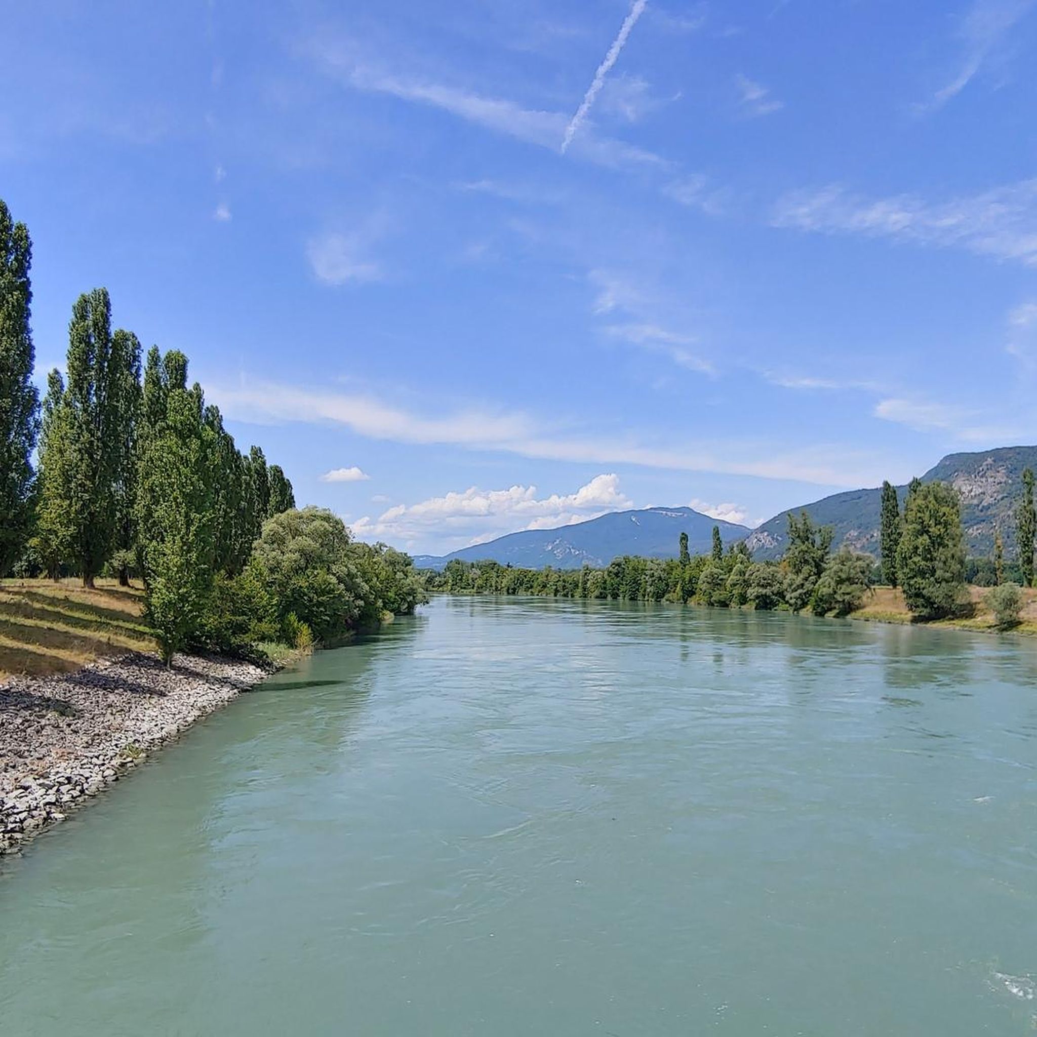
Mountain bike trails around Réserve naturelle nationale du Haut-Rhône français traverse a diverse riverine ecosystem, characterized by the Rhône River, its confluences, and extensive alluvial forests. The region offers a network of natural paths and cycling routes, including sections of the ViaRhôna, suitable for off-road cycling. Terrain varies from flat riverbanks to hilly sections, with altitudes ranging from 202 to 986 meters in the broader area. This landscape provides varied and scenic routes for mountain bikers.
Best mountain bike trails…
Last updated: September 4, 2026
4.7
(11)
26
riders
46.4km
02:34
150m
150m
Moderate mountain bike ride. Good fitness required. Suitable for all skill levels.
4.8
(4)
17
riders
36.4km
01:53
120m
120m
Easy mountain bike ride. Great for any fitness level. Suitable for all skill levels.

Sign up for free
5.0
(1)
2
riders
Easy mountain bike ride. Great for any fitness level. Suitable for all skill levels.
4.3
(18)
59
riders
Easy mountain bike ride. Great for any fitness level. Suitable for all skill levels.
4.3
(20)
48
riders
21.5km
01:29
80m
80m
Easy mountain bike ride. Great for any fitness level. Suitable for all skill levels.
Get access to more routes and recommendations from other explorers.
Sign up for free
Already have an account?
Our route recommendations are based on thousands of hikes, rides, and runs completed by other people on komoot.
Start today with a free account
Your next adventure awaits.
Login or Signup
Popular around Réserve naturelle nationale du Haut-Rhône français
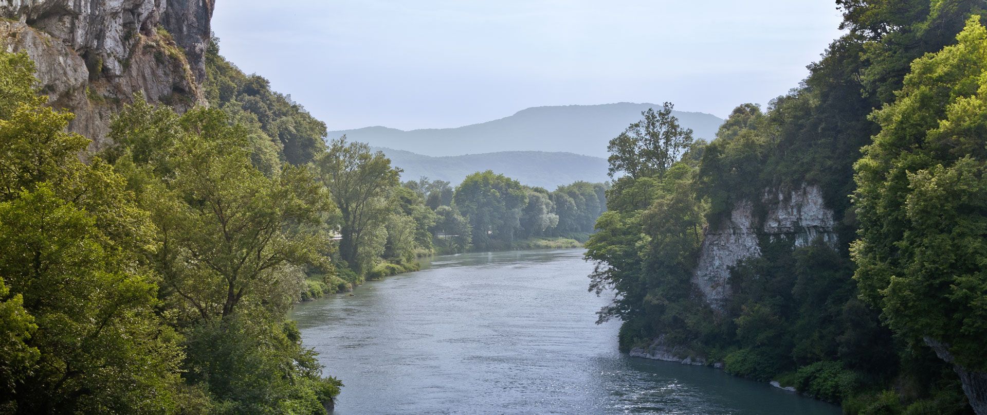
Rhone Cycle Route — From the southern Jura to Lyon
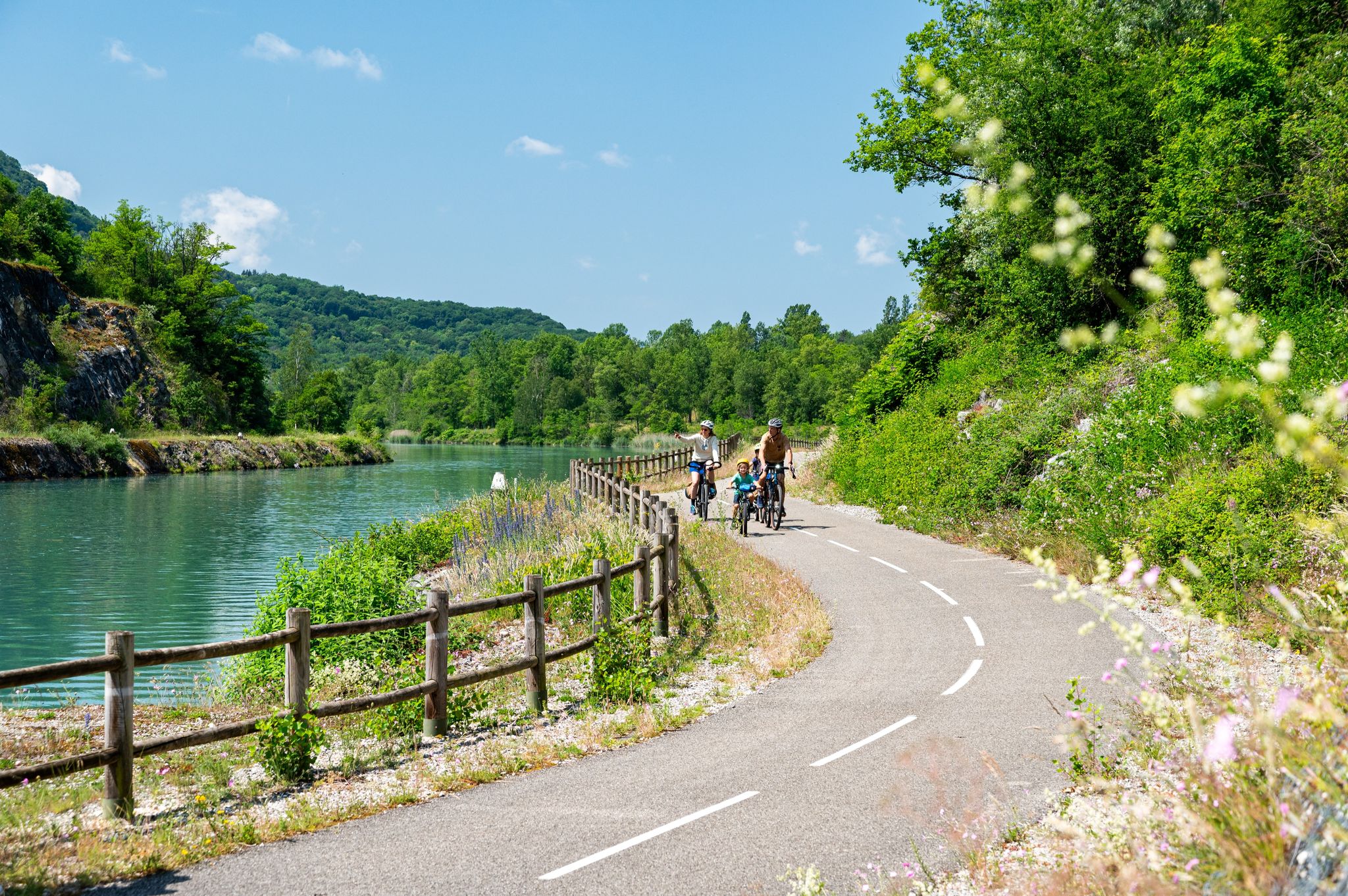
ViaRhôna — ride from the Alps to the Mediterranean
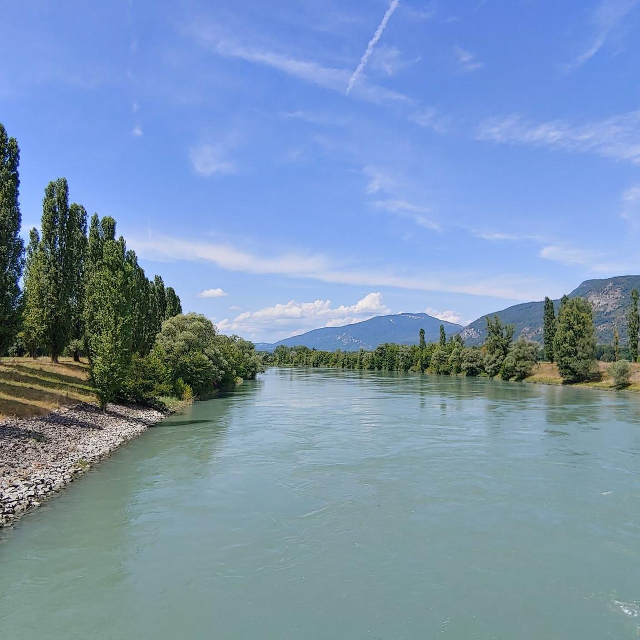
Hiking around Réserve naturelle nationale du Haut-Rhône français
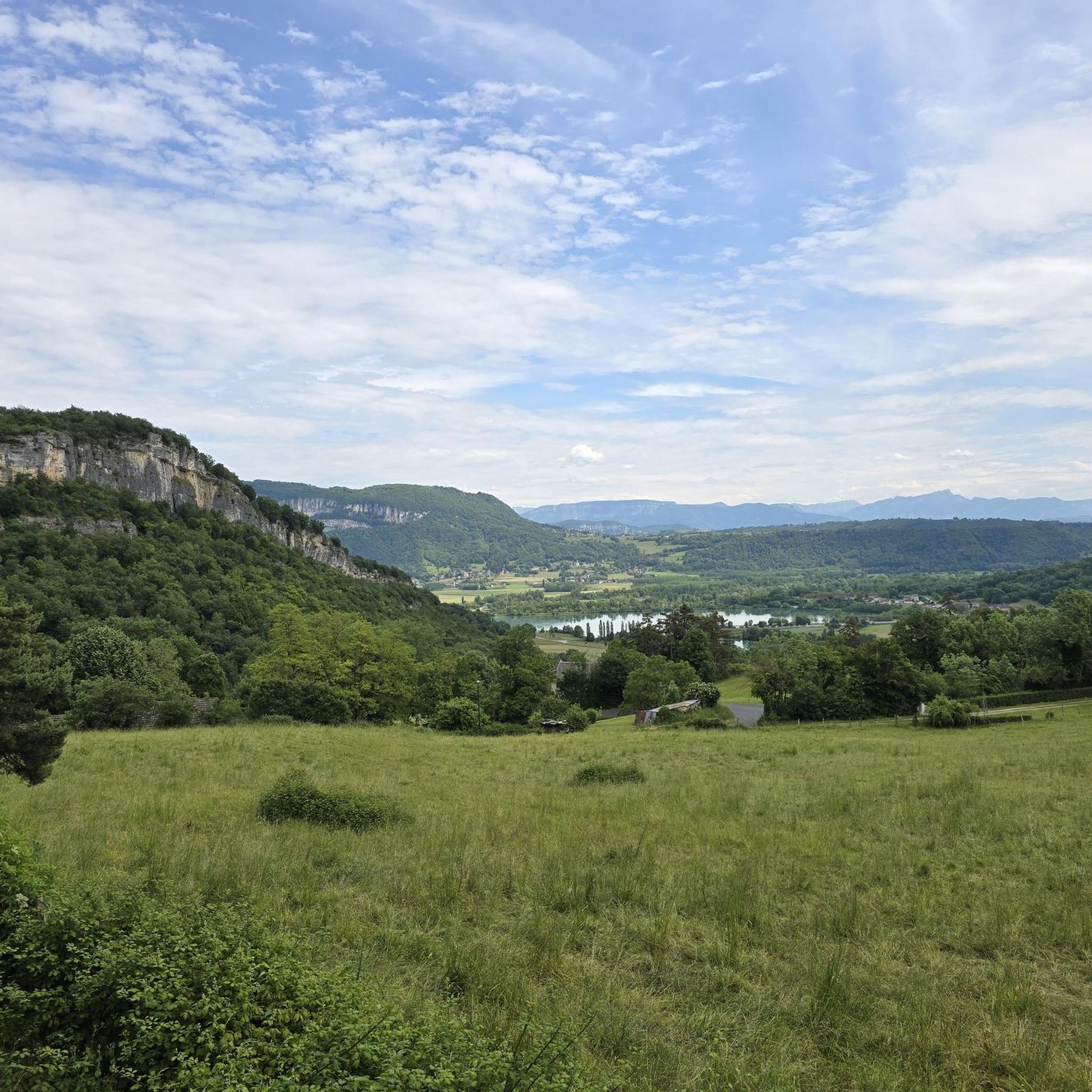
Cycling around Réserve naturelle nationale du Haut-Rhône français
Road Cycling Routes around Réserve naturelle nationale du Haut-Rhône français
Running Trails around Réserve naturelle nationale du Haut-Rhône français

Gravel biking around Réserve naturelle nationale du Haut-Rhône français
Other adventures around Réserve naturelle nationale du Haut-Rhône français


Tips from the Community

The property is private, but Paul Claudel's tomb is accessible
0
0
Neither the castle nor the park are open to the public
0
0
A famous praline brioche 😃
0
0

Wow, what a beautiful waterfall! 🤩🤩
1
0

I found the fish ladders below the bridge worth seeing.
5
0

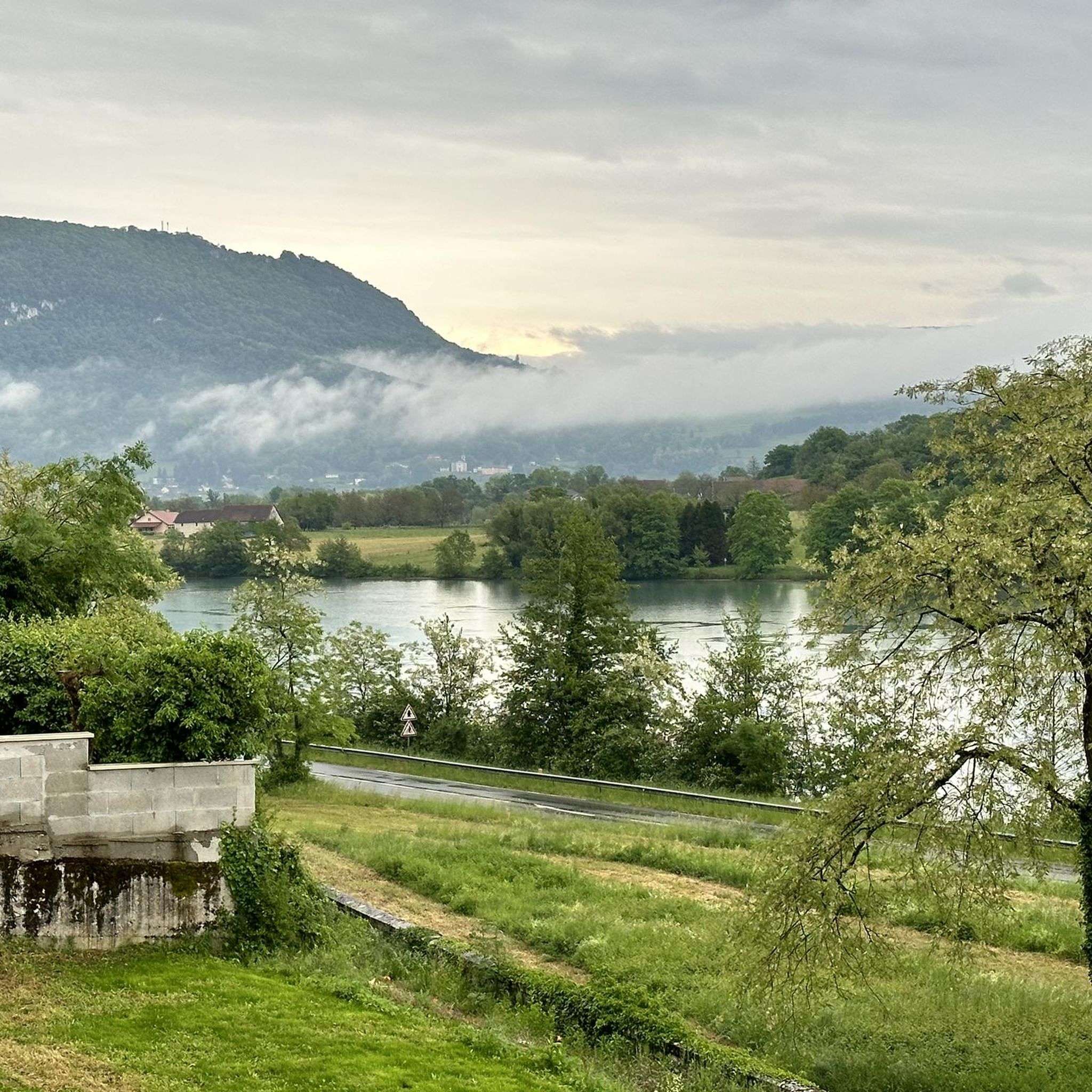
Beautiful view of the Rhône and the Jura mountains
0
0

A big surprise was the reference to the grave of this poet and philosopher. His grave is located in a corner of the park of the Château de Brangues and is open to the public.
0
0

As you head back up to La Bruyère, you'll have a breathtaking view of the Rhone stretching out below. The river meanders through the landscape, lined with lush vegetation and dotted with small islands.
1
0
Frequently Asked Questions
How many mountain bike trails are available in the Réserve naturelle nationale du Haut-Rhône français area?
There are over 100 mountain bike trails in the Réserve naturelle nationale du Haut-Rhône français area, offering a wide range of options for different skill levels and preferences.
What kind of terrain can I expect on mountain bike trails in this region?
The terrain varies significantly, from flat riverbanks and natural paths through diverse riverine ecosystems and alluvial forests to more challenging hilly sections. The broader region also offers more pronounced mountainous terrain, with altitudes ranging from 202 to 986 meters.
Are there mountain bike trails suitable for beginners in the Réserve naturelle nationale du Haut-Rhône français?
Yes, there are 24 easy mountain bike routes in the area. An excellent option for beginners is the Groslée Bridge – The port of Murs-Geligneux loop from Groslée, an easy 31.2 km path exploring riverbanks and natural areas.
Are there challenging mountain bike trails for experienced riders?
Yes, the region offers 12 difficult mountain bike trails for experienced riders. While specific highly technical trails are not within the immediate reserve, the broader Haut-Rhône region provides routes with significant elevation changes and technical sections, such as those found on FFC-labeled routes like the Grande Traversée du Rhône (GTR). You can find more information about the GTR at francevelotourisme.com.
What natural features or attractions can I see along the mountain bike trails?
The trails often traverse diverse riverine ecosystems, including wetlands, alluvial forests, and fluvial islands. You can experience the Rhône River, its confluences, and features like the ancient meander of Saugey and the Evieu forest. The Glandieu Waterfall – Floating Platform on the Lake loop from Saint-Didier-le-Pont specifically takes you past the Glandieu Waterfall.
Are there any circular mountain bike routes available?
Yes, many routes in the area are circular. For example, the Groslée Bridge – Pont du Guiers and Fish Ladder loop from Groslée is a moderate 46.7 km loop, and the The port of Murs-Geligneux loop from Cordon is another moderate 28.4 km circular option.
What is the best season for mountain biking in the Réserve naturelle nationale du Haut-Rhône français?
The region is generally pleasant for mountain biking from spring through autumn. Spring offers lush greenery and moderate temperatures, while autumn provides beautiful foliage. Summer can be warm, but routes along the river offer refreshing breezes. Always check local weather conditions before heading out.
What kind of wildlife might I encounter while mountain biking?
The reserve is rich in biodiversity. You might spot beavers, otters, yellow-bellied toads, and various bird species like the Little Egret and Eurasian Hobby, especially in the wetland and riverine areas. Riding through these natural environments offers excellent opportunities for wildlife observation.
What do other mountain bikers enjoy most about the trails in Réserve naturelle nationale du Haut-Rhône français?
The area is highly rated by the komoot community, with an average score of 4.4 stars from over 280 reviews. Reviewers often praise the diverse riverine ecosystems, the scenic natural paths, and the variety of routes suitable for different ability levels.
Are there any specific permits required for mountain biking in the reserve?
Generally, no specific permits are required for mountain biking on the established trails within the Réserve naturelle nationale du Haut-Rhône français. However, it's always advisable to respect local regulations and signage, especially in protected natural areas. For more detailed information on the reserve, you can visit balconsdudauphine-tourisme.com.
Can I find family-friendly mountain bike routes in the area?
Yes, with 24 easy routes, there are several options suitable for families. These routes often follow flatter sections along the river or through less challenging natural paths, allowing for a pleasant experience for riders of all ages. The Floating Platform on the Lake loop from Saint-Genix-Sur-Guiers is an easy 21.3 km route that could be suitable for families.
Are there cafes or pubs near the mountain bike trails for refreshments?
While the reserve itself is a natural area, the surrounding villages and towns along the Rhône River and its confluences often have local cafes, restaurants, or small shops where you can find refreshments. Planning your route to pass through these villages can provide convenient stops.
Most popular routes around Réserve naturelle nationale du Haut-Rhône français

Get inspired with the komoot mobile app


Explore more
Browse the best MTB trails in other regions.
