The best walks and hikes around Réserve naturelle nationale du Haut-Rhône français
4.5
(1059)
5,652
hikers
199
hikes
Hiking around Réserve naturelle nationale du Haut-Rhône français offers exploration of France's largest forest river reserve, stretching 25 kilometers along the Rhône. The terrain is characterized by unique alluvial forests, numerous river branches known as "lônes," and diverse riparian habitats. Hikers can experience environments including willow groves, reed beds, and floodable meadows, shaped by the river's historical course and alluvial deposits. The reserve spans 1707 hectares across parts of the Ain, Isère, and Savoie departments.
Best hiking trails around Réserve…
Last updated: July 11, 2026
4.5
(40)
142
hikers
7.04km
01:58
130m
130m
Moderate hike. Great for any fitness level. Mostly accessible paths. Sure-footedness required.
4.6
(13)
43
hikers
5.28km
01:23
40m
40m
Easy hike. Great for any fitness level. Easily-accessible paths. Suitable for all skill levels.

Sign up for free
5.0
(1)
11
hikers
5.77km
01:45
190m
190m
Moderate hike. Great for any fitness level. Mostly accessible paths. Sure-footedness required.
4.0
(1)
6
hikers
13.0km
03:18
30m
30m
Moderate hike. Good fitness required. Easily-accessible paths. Suitable for all skill levels.
4.3
(76)
375
hikers
7.03km
02:08
220m
220m
Moderate hike. Good fitness required. Easily-accessible paths. Suitable for all skill levels.
Get access to more routes and recommendations from other explorers.
Sign up for free
Already have an account?
Our route recommendations are based on thousands of hikes, rides, and runs completed by other people on komoot.
Start today with a free account
Your next adventure awaits.
Login or Signup
Popular around Réserve naturelle nationale du Haut-Rhône français
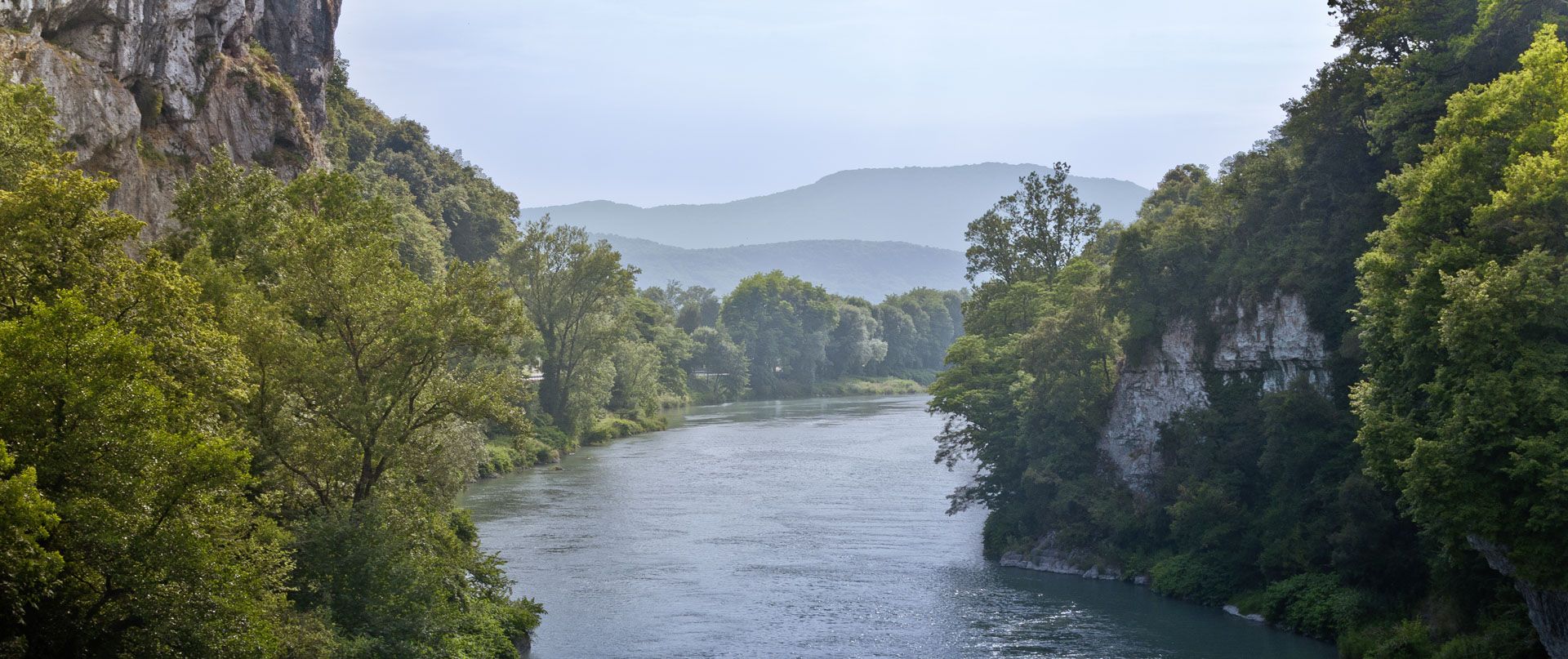
Rhone Cycle Route — From the southern Jura to Lyon
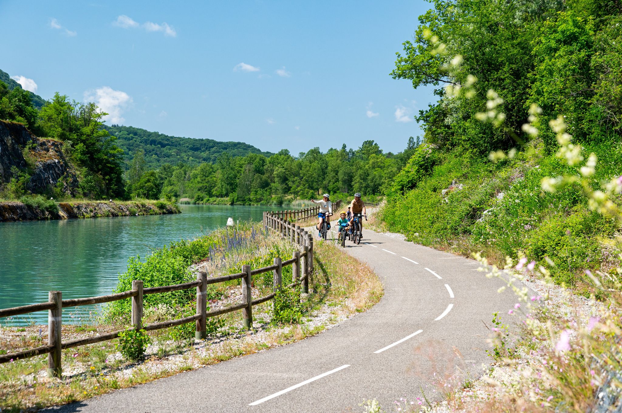
ViaRhôna — ride from the Alps to the Mediterranean
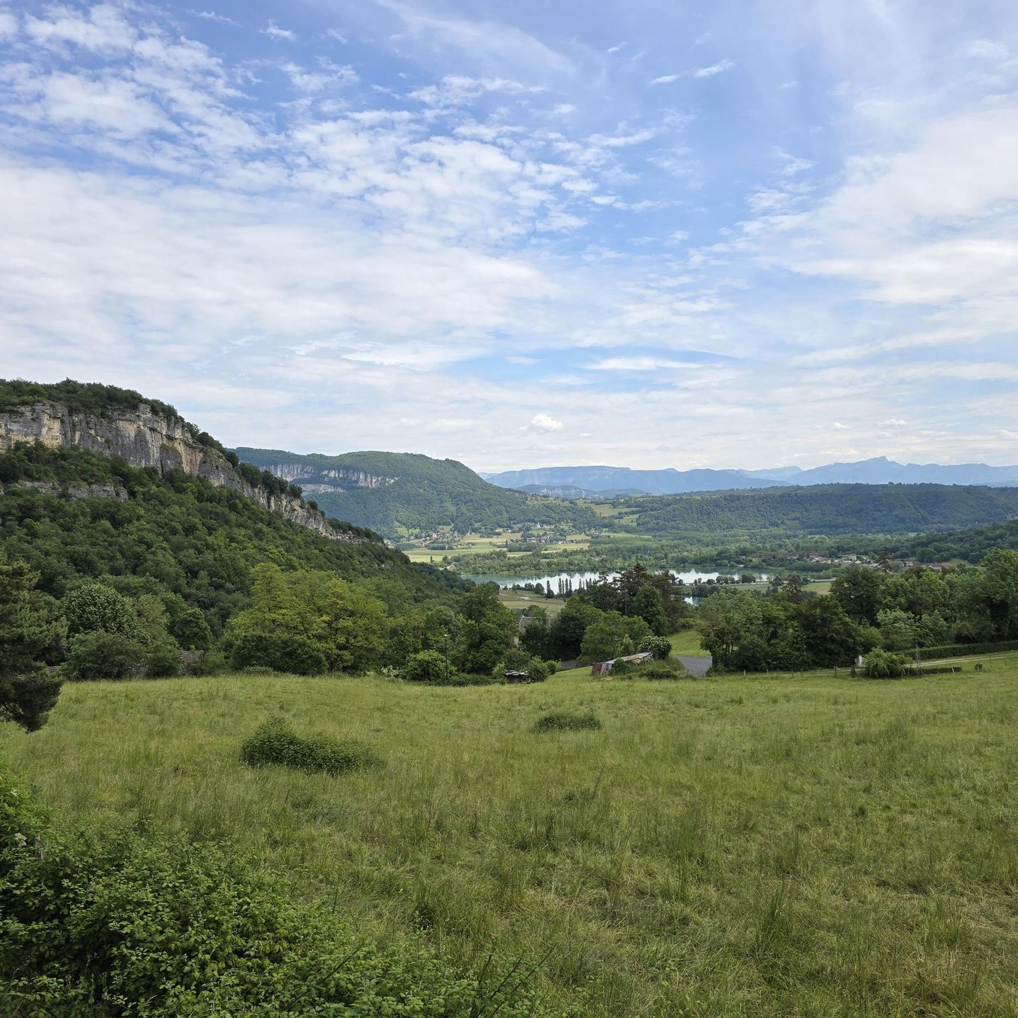
Cycling around Réserve naturelle nationale du Haut-Rhône français
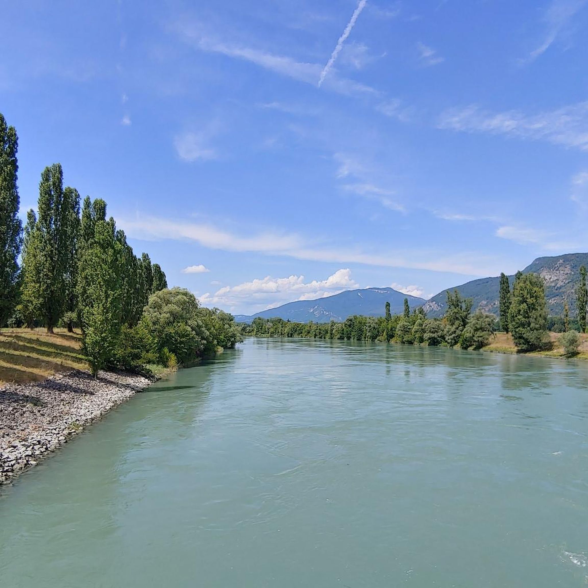
Road Cycling Routes around Réserve naturelle nationale du Haut-Rhône français
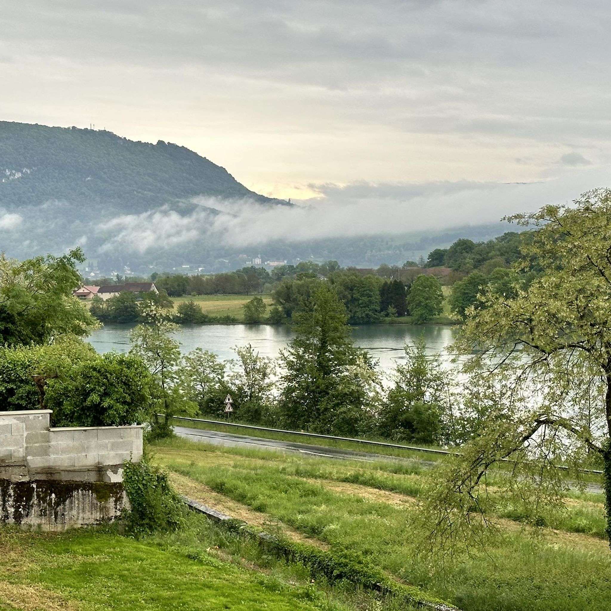
Running Trails around Réserve naturelle nationale du Haut-Rhône français
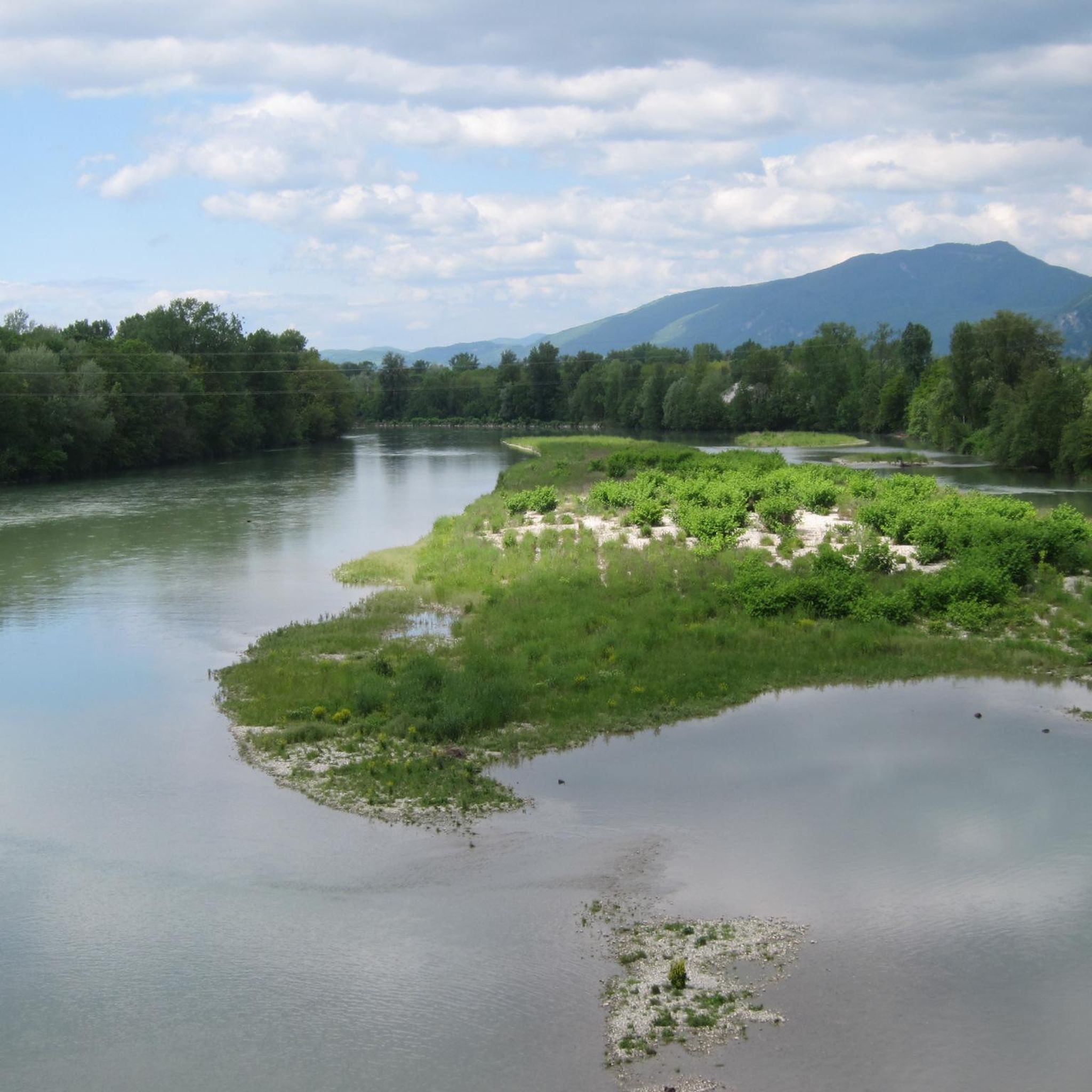
MTB Trails around Réserve naturelle nationale du Haut-Rhône français

Gravel biking around Réserve naturelle nationale du Haut-Rhône français
Other adventures around Réserve naturelle nationale du Haut-Rhône français


Tips from the Community

Beautiful view of the Rhône. Easy access for everyone.
0
0
Very beautiful view of the Rhône.
0
0

Wow, what a beautiful waterfall! 🤩🤩
1
0

Beautiful view of the Rhône and the Jura mountains
0
0

A must-see spot in the region, magnificent and impressive, but be careful of the incredible number of tourists in case of good weather during the day, choose to go there early in the morning!
1
0
The Groslée bridge is a suspension bridge crossing the Rhône between the municipalities of Groslée-Saint-Benoit (Ain) and Brangues (Isère). Designed by Ferdinand Arnodin and completed in 1912, it has a main span of 177.21 m in length. Source: Wikipedia
0
0

Very beautiful water point to pass after the Glan Dieu waterfall.
0
0
Frequently Asked Questions
How many hiking trails are available in the Réserve naturelle nationale du Haut-Rhône français?
There are over 190 hiking routes in the Réserve naturelle nationale du Haut-Rhône français, offering a wide range of options for all skill levels. This includes 64 easy trails, 115 moderate routes, and 12 more challenging hikes.
What kind of terrain can I expect when hiking in the Réserve naturelle nationale du Haut-Rhône français?
The reserve is characterized by unique riverine landscapes. You'll encounter extensive alluvial forests, numerous river branches locally known as "lônes," and diverse riparian habitats. Expect to walk through willow groves, reed beds, and floodable meadows, all shaped by the Rhône's historical course and alluvial deposits.
Are there any easy or family-friendly hiking trails in the reserve?
Yes, the reserve offers many easy trails suitable for families and beginners. For example, the Liévrin Cave – Bonne Femme Cave loop from Murs-et-Gélignieux is an easy 3.3-mile (5.3 km) path that takes just over an hour to complete, offering a pleasant walk through the natural surroundings.
What natural attractions or landmarks can I discover along the trails?
Hikers can explore several notable natural features. These include the dramatic Malarage Defile, the historical Old Saugey Meander, and the tranquil Evieu Forest. You'll also find numerous river islands and the confluences of several rivers, contributing to the rich biodiversity. The Glandieu Waterfall loop from Cité Ampère is a popular choice to visit the impressive Glandieu Waterfall.
Are there any viewpoints offering panoramic views of the region?
Yes, for elevated perspectives, consider the Mont de Cordon Viewpoint – Belvedere loop from Brégnier-Cordon. This moderate 3.6-mile (5.8 km) route features the Mont de Cordon Viewpoint and Belvedere, providing excellent views of the surrounding landscape.
What do other hikers enjoy most about the Réserve naturelle nationale du Haut-Rhône français?
The area is highly rated by the komoot community, with an average score of 4.5 stars from over 900 reviews. Hikers often praise the diverse and well-preserved riverine landscapes, the unique alluvial forests, and the opportunities for wildlife observation. The interpretation panels along many trails are also appreciated for enhancing the experience.
Are there circular hiking routes available in the reserve?
Many of the trails in the Réserve naturelle nationale du Haut-Rhône français are circular routes, allowing you to start and end at the same point. Examples include the Liévrin Cave – Lac de Barterand loop from Murs-et-Gélignieux and The Water Trail and the Glandieu waterfall - loop.
Is the Réserve naturelle nationale du Haut-Rhône français suitable for dog walking?
While the reserve is a natural area, it's important to remember its conservation focus. Due to the fragility of the environment and the presence of diverse wildlife, it's generally recommended to keep dogs on a leash to protect the fauna and flora. Always check local signage for specific regulations on trails.
What is the best time of year to go hiking in the reserve?
The reserve offers beautiful scenery throughout the year. Spring and autumn are particularly pleasant for hiking, with mild temperatures and vibrant natural colors. Summer can be warm, but the riverine environment often provides some shade. Winter hiking is also possible, offering a different, serene experience of the landscape.
Where can I find more information about the Réserve naturelle nationale du Haut-Rhône français?
For additional details about the reserve, including its conservation efforts and visitor guidelines, you can visit the official tourism website for the area: balconsdudauphine-tourisme.com.
Are there any challenging hikes for experienced hikers?
Yes, for those seeking a more strenuous experience, the reserve does offer some challenging routes. While the majority are easy to moderate, there are 12 trails classified as difficult, providing greater elevation changes and longer distances for experienced hikers.
Most popular routes around Réserve naturelle nationale du Haut-Rhône français

Get inspired with the komoot mobile app


Explore more
Browse the best Hikes in other regions.
