Réserve naturelle nationale du Haut-Rhône français
Réserve naturelle nationale du Haut-Rhône français
The best road cycling routes around Réserve naturelle nationale du Haut-Rhône français
4.4
(289)
4,752
riders
261
rides
Road cycling routes around Réserve naturelle nationale du Haut-Rhône français traverse a landscape shaped by the Rhône river and its tributaries. The region features a mix of river valleys, canals, and rolling hills, with elevations that include notable cols. This area offers diverse terrain for road cyclists, from routes along waterways to climbs through forested areas.
Best road cycling routes around Réserve naturelle nationale du Haut-Rhône français
- The most popular road cycling route is Groslée Bridge – Montagnieu loop from…
Last updated: November 7, 2026
5.0
(2)
39
riders
42.8km
02:17
830m
830m
Moderate road ride. Good fitness required. Mostly well-paved surfaces and easy to ride.
5.0
(1)
37
riders
69.9km
03:51
1,520m
1,520m
Hard road ride. Very good fitness required. Mostly well-paved surfaces and easy to ride.

3.5
(2)
8
riders
10.6km
00:31
20m
20m
Easy road ride. Mostly well-paved surfaces and easy to ride.
4.0
(2)
58
riders
56.6km
02:49
890m
890m
Moderate road ride. Good fitness required. Mostly well-paved surfaces and easy to ride.
4.8
(16)
238
riders
71.4km
02:49
270m
270m
Moderate road ride. Good fitness required. Mostly well-paved surfaces and easy to ride.
Get access to more routes and recommendations from other explorers.
Already have an account?
Our route recommendations are based on thousands of hikes, rides, and runs completed by other people on komoot.
Start today with a free account
Your next adventure awaits.
Popular around Réserve naturelle nationale du Haut-Rhône français
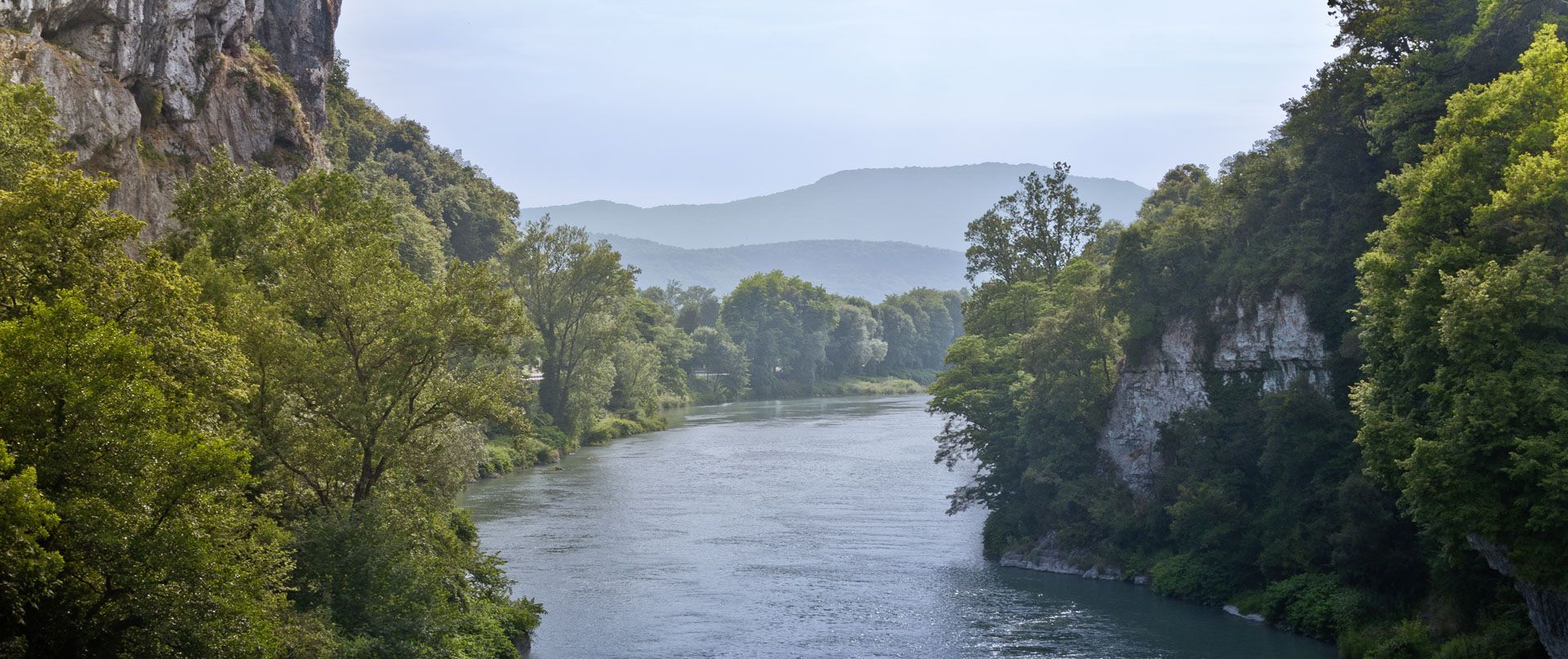
Rhone Cycle Route — From the southern Jura to Lyon
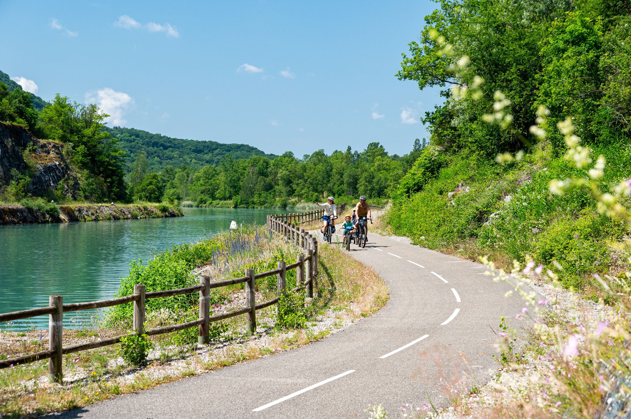
ViaRhôna — ride from the Alps to the Mediterranean
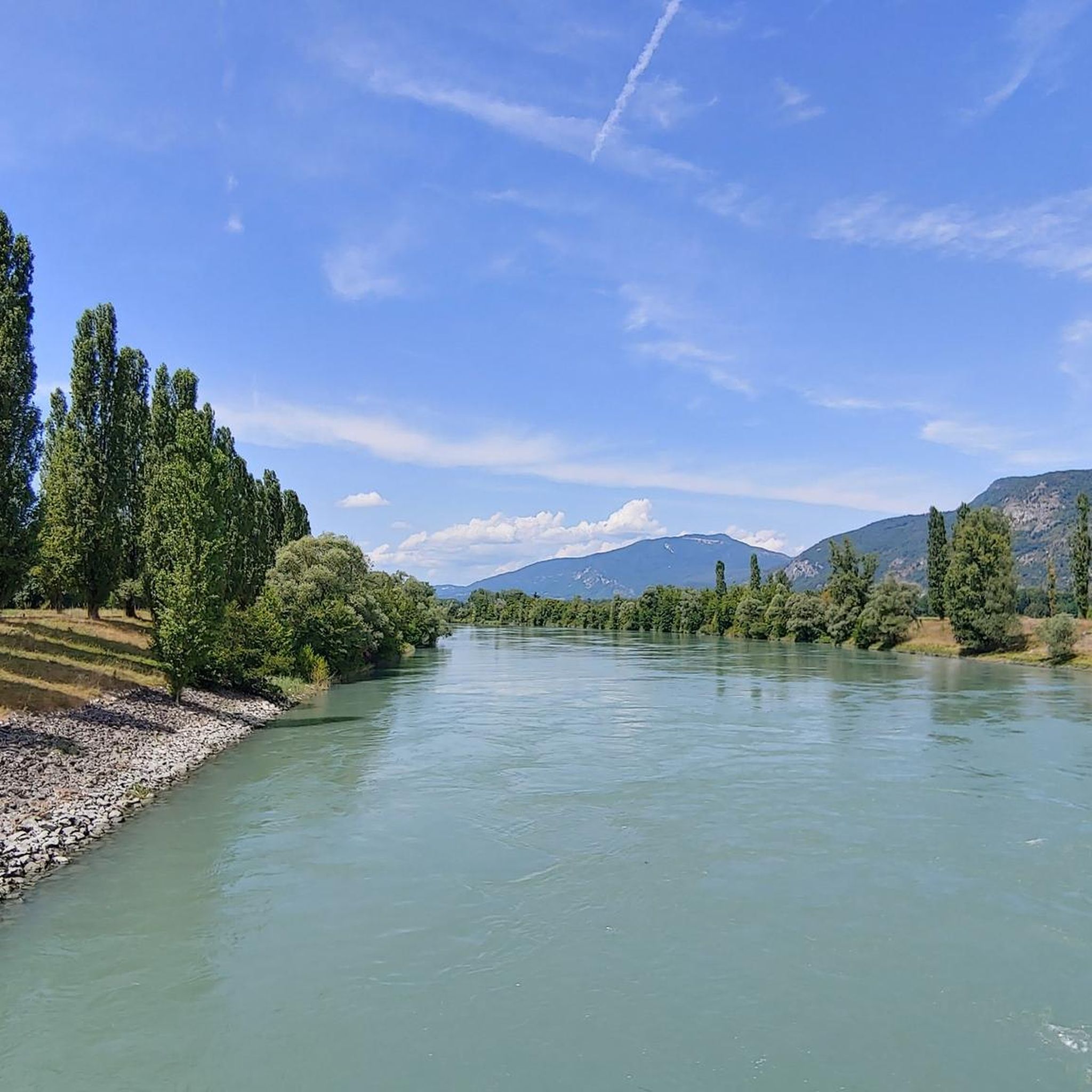
Hiking around Réserve naturelle nationale du Haut-Rhône français
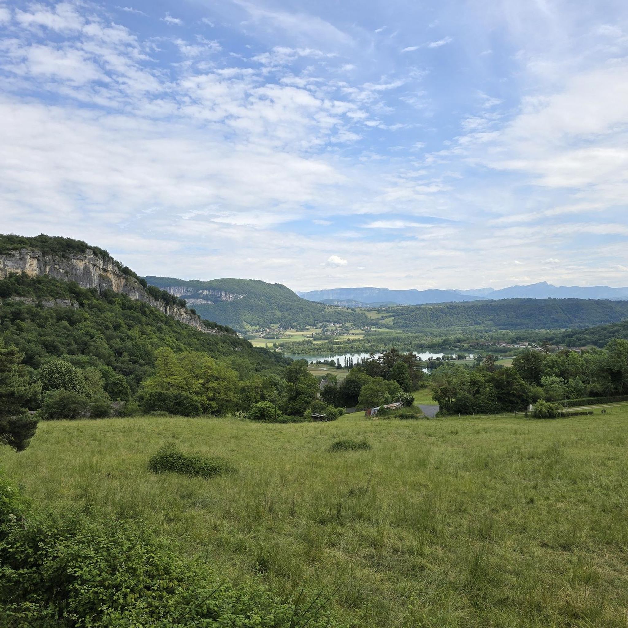
Cycling around Réserve naturelle nationale du Haut-Rhône français
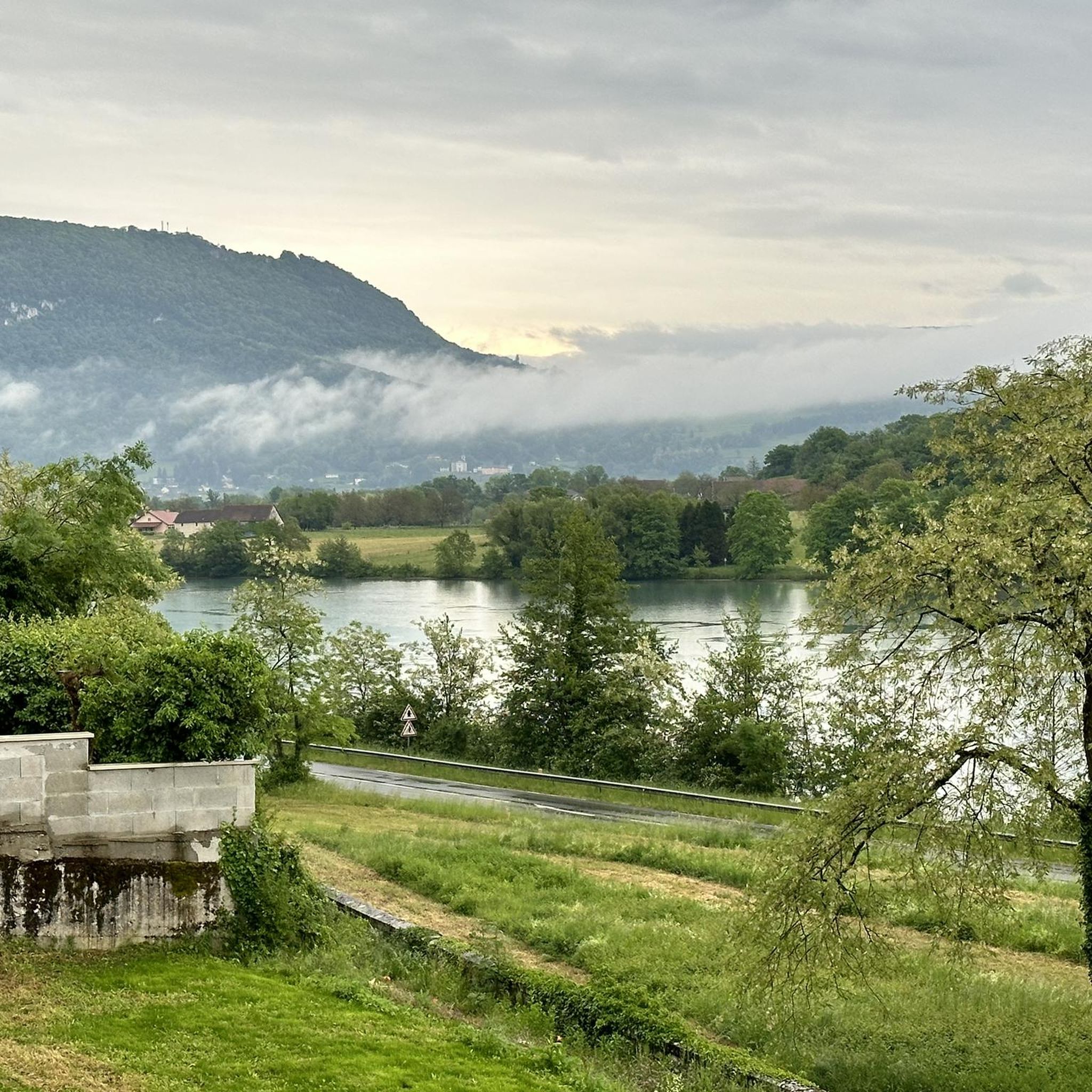
Running Trails around Réserve naturelle nationale du Haut-Rhône français
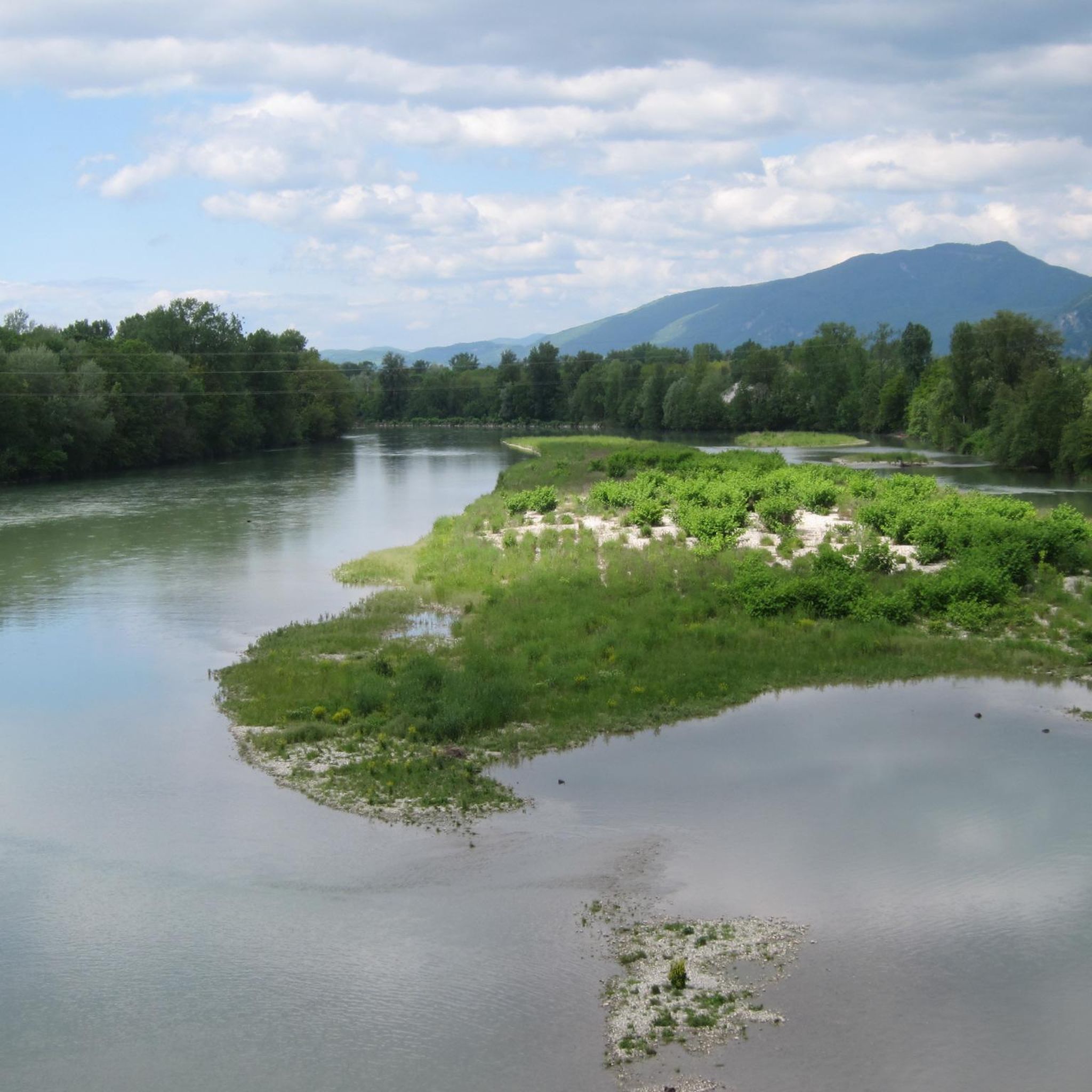
MTB Trails around Réserve naturelle nationale du Haut-Rhône français
Gravel biking around Réserve naturelle nationale du Haut-Rhône français
Other adventures around Réserve naturelle nationale du Haut-Rhône français


Tips from the Community

Very beautiful tourist villages, perfect for a gourmet break
0
0

The area is located on the border between the departments of Isère and Ain, right next to the Pont d’Évieu. A specific ViaRhôna link allows you to reach the center of the commune of Les Avenières directly from this point via small country roads.
0
0

Wow, what a beautiful waterfall! 🤩🤩
1
0

Be careful when going through the tunnel, you don't necessarily see the other bikes, otherwise the scenery is very pleasant.
0
0
Peaceful with beautiful scenery
1
0

Beautiful and very wild without cars
0
0

All the information you need about the upcoming climb: length, average gradient, etc. A great initiative from the Ain Department.
1
0
Belvedere with an impressive panorama that is worth the stop during the climb.
1
0
Frequently Asked Questions
How many road cycling routes are available in Réserve naturelle nationale du Haut-Rhône français?
There are over 250 road cycling routes in the Réserve naturelle nationale du Haut-Rhône français region, offering a wide range of options for different skill levels and preferences.
What kind of terrain can I expect when road cycling in this region?
The region's landscape is shaped by the Rhône river and its tributaries, featuring a mix of river valleys, canals, and rolling hills. Cyclists will encounter routes along waterways as well as climbs through forested areas, including notable cols.
Are there road cycling routes suitable for beginners or those looking for an easy ride?
Yes, the Réserve naturelle nationale du Haut-Rhône français offers nearly 30 easy road cycling routes. These typically feature flatter terrain along river valleys and canals, providing a gentle introduction to the area's beauty.
Where can I find challenging road bike climbs in the Réserve naturelle nationale du Haut-Rhône français?
For those seeking a challenge, the region includes routes with significant elevation gain, such as the The col de Fosses via the Cascade de Glandieu, which features climbs through hills. There are over 60 difficult routes available for experienced cyclists.
What is the best season for road cycling in Réserve naturelle nationale du Haut-Rhône français?
Spring and autumn generally offer the most pleasant conditions for road cycling in the Réserve naturelle nationale du Haut-Rhône français, with milder temperatures and beautiful scenery. Summer can also be enjoyable, especially along shaded river routes, but be prepared for warmer weather.
Are there any scenic road cycling routes with notable views or attractions?
Many routes offer scenic views, particularly those along the Rhône river and its canals. For example, the Groslée Bridge – Montagnieu loop from Groslée provides views of the historic Groslée Bridge. The The col de Fosses via the Cascade de Glandieu route passes by the impressive Cascade de Glandieu waterfall.
What do other road cyclists enjoy most about the routes in Réserve naturelle nationale du Haut-Rhône français?
The area is highly rated by the komoot community, with an average score of 4.4 stars from over 275 reviews. Cyclists often praise the diverse terrain, from peaceful river valleys to challenging climbs, and the well-maintained paths that allow for varied and enjoyable rides.
Are there any long-distance road cycling routes available?
Yes, the region offers several longer routes for endurance cyclists. For instance, the Savière Canal – Canal de Savières Road loop from Murs-et-Gélignieux covers over 70 kilometers, providing an extended ride through varied landscapes.
Can I find road cycling routes that are less crowded?
While popular routes can see more traffic, many of the region's 250+ routes, especially those venturing into the quieter forested areas or less-traveled canal paths, offer a more serene cycling experience. Exploring routes slightly off the main tourist paths can lead to peaceful rides.
Are there road cycling routes suitable for families?
For families, the easier routes along the river valleys and canals are generally most suitable due to their flatter profiles and often dedicated paths. These routes provide a safe and enjoyable environment for cyclists of all ages.
Are there any circular road cycling routes in the area?
Many of the road cycling routes in Réserve naturelle nationale du Haut-Rhône français are designed as loops, allowing you to start and finish at the same point. Examples include the Cerin Peat Bog – Marchamp loop from Groslée and the Virignin footbridge – Col du Mont Tournier (851 m) loop from Brégnier-Cordon.
What kind of road cycling itinerary can I plan for a day trip?
A typical day trip could involve a moderate route like the Groslée Bridge – Montagnieu loop from Groslée, which takes around 2 hours and 17 minutes to complete its 42.8 km. This allows time to enjoy the scenery and perhaps stop at a local village.
Most popular routes around Réserve naturelle nationale du Haut-Rhône français
Most popular attractions around Réserve naturelle nationale du Haut-Rhône français

Get inspired with the komoot mobile app


Explore more
Browse the best Road cycling routes in other regions.
