Réserve naturelle nationale du Haut-Rhône français
Réserve naturelle nationale du Haut-Rhône français
The best cycling routes around Réserve naturelle nationale du Haut-Rhône français
4.5
(932)
6,416
riders
237
rides
Touring cycling routes around Réserve naturelle nationale du Haut-Rhône français traverse a landscape shaped by the Rhône river, featuring riverine paths, wetlands, and lakes. The terrain varies from flat, easy-going sections along the riverbanks to more challenging routes with notable elevation gains in the surrounding areas. This region offers a mix of natural environments, including areas around the confluence of the Rhône and scenic lake views.
Best touring cycling routes around Réserve naturelle nationale du Haut-Rhône français
- The most popular…
Last updated: July 5, 2026
4.5
(40)
272
riders
28.5km
01:47
100m
100m
Easy bike ride. Great for any fitness level. Mostly paved surfaces. Suitable for all skill levels.
4.5
(37)
247
riders
24.8km
01:25
60m
60m
Easy bike ride. Great for any fitness level. Mostly paved surfaces. Suitable for all skill levels.

Sign up for free
5.0
(5)
35
riders
46.8km
03:09
680m
680m
Hard bike ride. Very good fitness required. Mostly paved surfaces. Suitable for all skill levels.
4.0
(2)
30
riders
Easy bike ride. Great for any fitness level. Mostly paved surfaces. Suitable for all skill levels.
5.0
(1)
9
riders
52.6km
03:08
330m
330m
Moderate bike ride. Good fitness required. Mostly paved surfaces. Suitable for all skill levels.
Get access to more routes and recommendations from other explorers.
Sign up for free
Already have an account?
Our route recommendations are based on thousands of hikes, rides, and runs completed by other people on komoot.
Start today with a free account
Your next adventure awaits.
Login or Signup
Popular around Réserve naturelle nationale du Haut-Rhône français
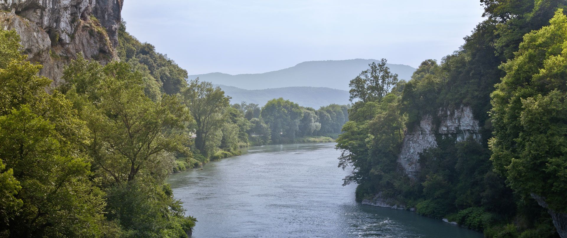
Rhone Cycle Route — From the southern Jura to Lyon
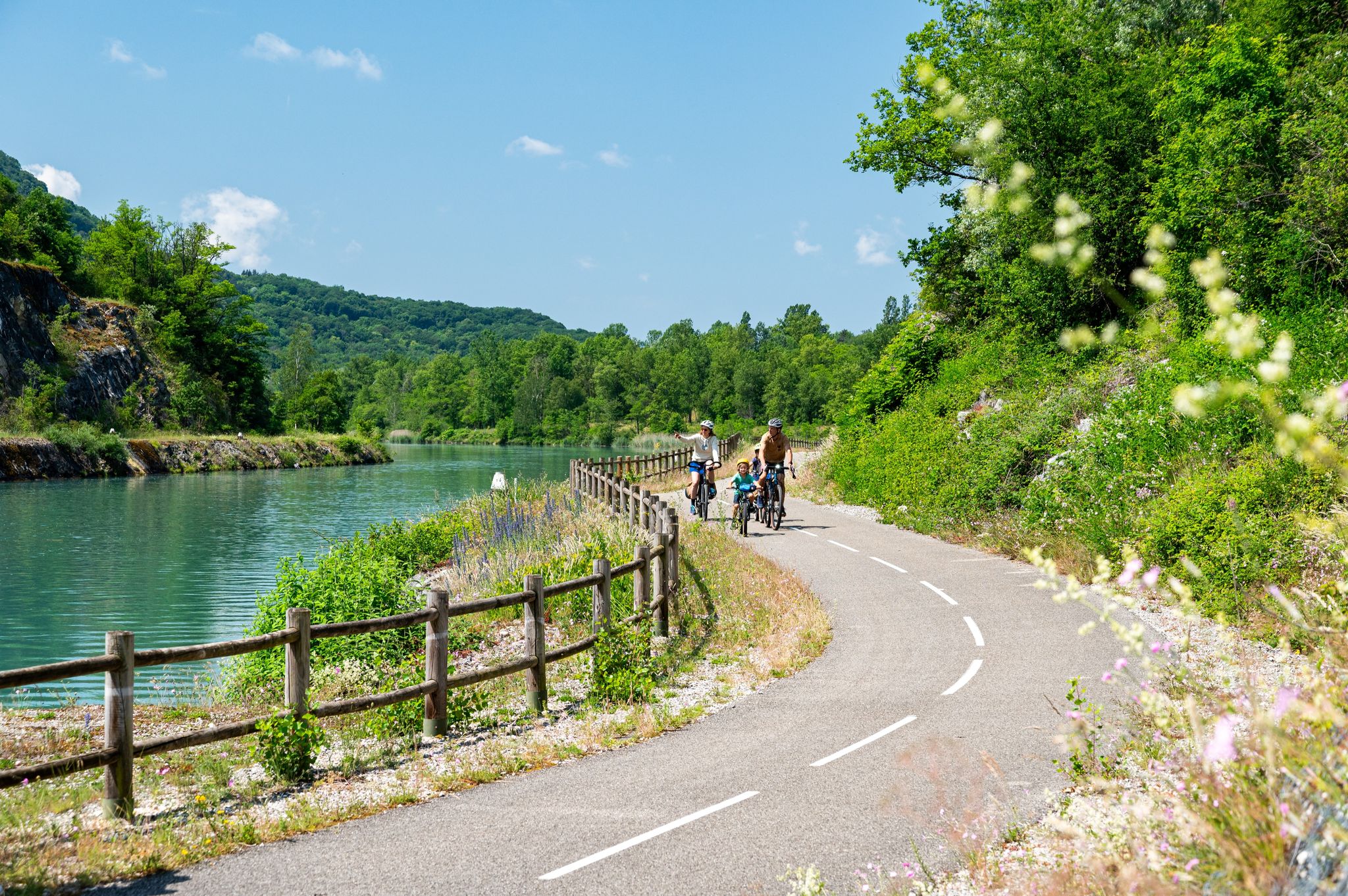
ViaRhôna — ride from the Alps to the Mediterranean
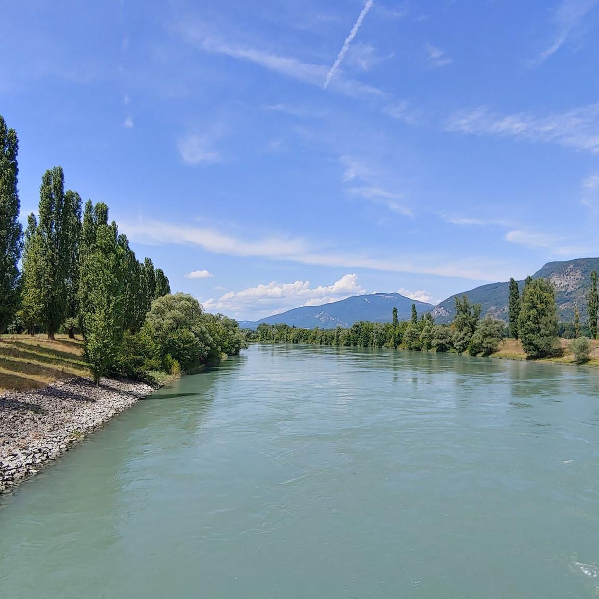
Hiking around Réserve naturelle nationale du Haut-Rhône français
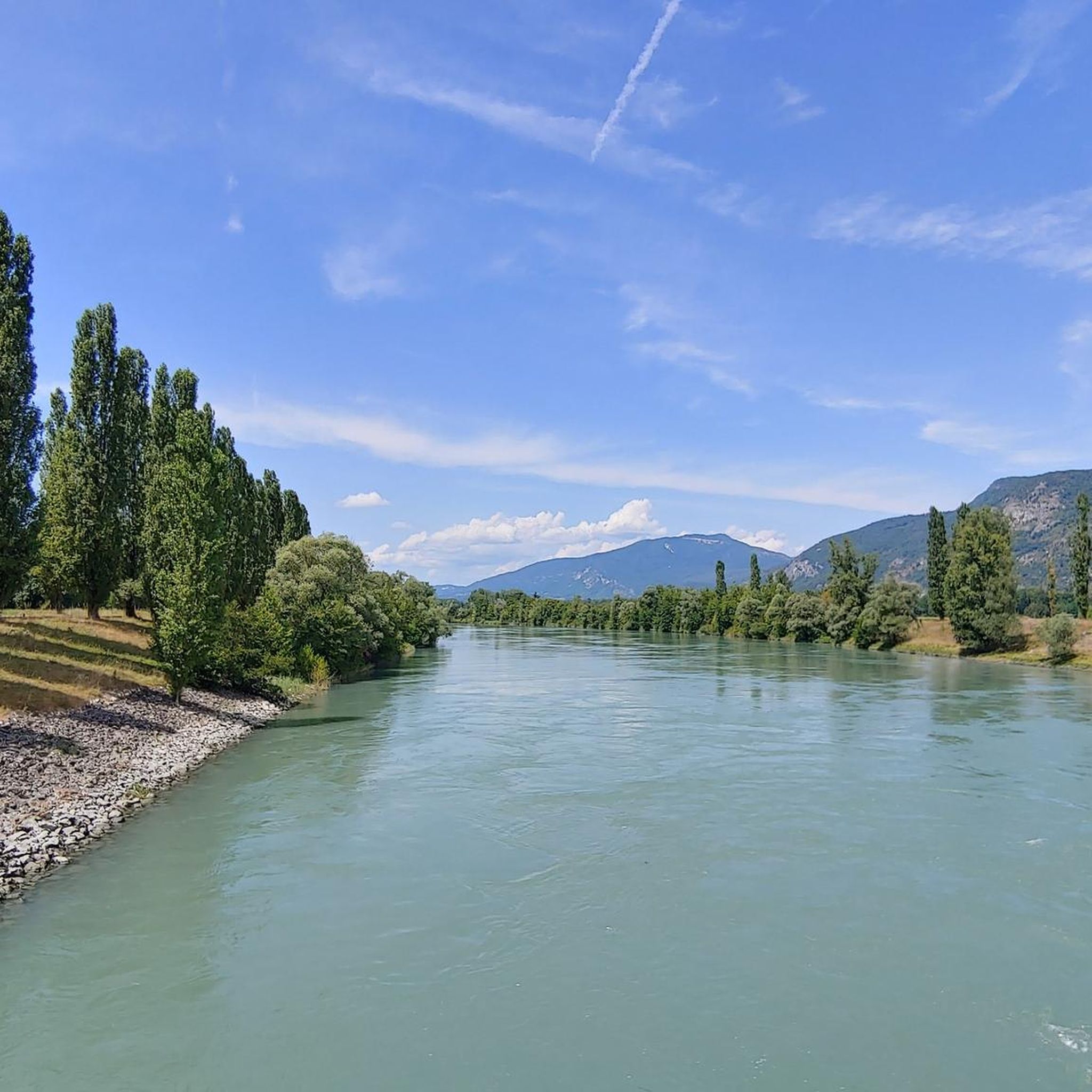
Road Cycling Routes around Réserve naturelle nationale du Haut-Rhône français
Running Trails around Réserve naturelle nationale du Haut-Rhône français
MTB Trails around Réserve naturelle nationale du Haut-Rhône français

Gravel biking around Réserve naturelle nationale du Haut-Rhône français
Other adventures around Réserve naturelle nationale du Haut-Rhône français


Tips from the Community

The small village of Premeyzel lies sleepily in the hills above the Rhone and can be nicely integrated into a bike tour. There is a very old fire station from the 19th century, a beautiful village church, and also a bread oven that is probably still in operation.
0
0

Wow, what a beautiful waterfall! 🤩🤩
1
0

Very nice cyclist bridge over the Rhône. It could become slippery in icy and wet conditions.
0
0

Can be used as a shelter and bivouac.
0
0

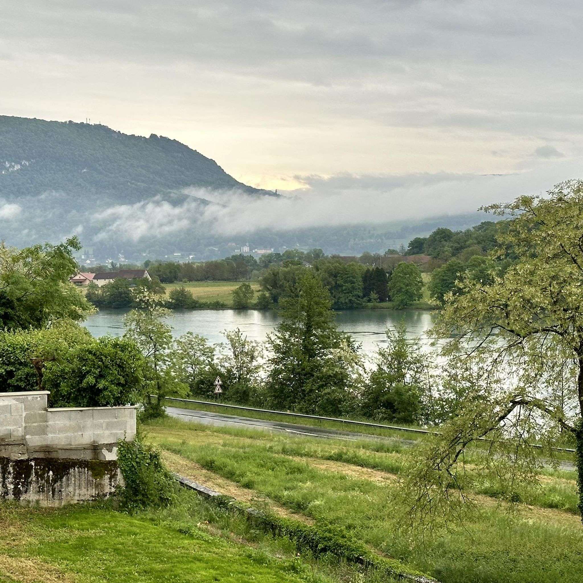
Beautiful view of the Rhône and the Jura mountains
0
0

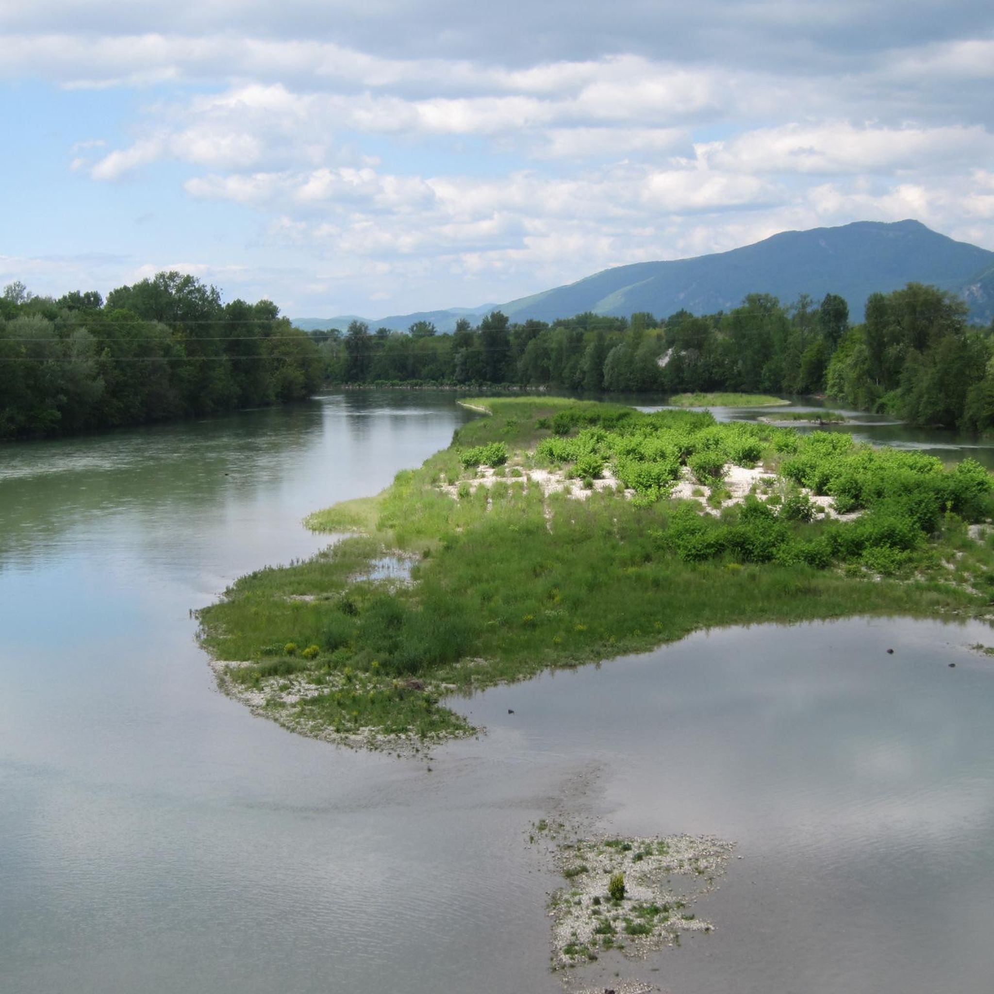
As you head back up to La Bruyère, you'll have a breathtaking view of the Rhone stretching out below. The river meanders through the landscape, lined with lush vegetation and dotted with small islands.
1
0


Lake Ambléon is located in the Bas-Bugey massif, in a valley of the Tentanet mountain (712 m above sea level). Its area is 5.58 hectares. Recognized as a natural zone of ecological, fauna and flora interest (ZNIEFF) type I, it is made up of a marshy part and a deeper zone, which however does not exceed ten meters in depth Lake Ambléon, accessible by the D41 road which connects Ambléon to Lhuis, is frequented in summer by fishermen and walkers. Nearby a stele was erected in memory of the Ambléon maquis. Source: Wikipedia
3
0
Frequently Asked Questions
How many touring cycling routes are available in the Réserve naturelle nationale du Haut-Rhône français?
There are over 240 touring cycling routes recorded in the Réserve naturelle nationale du Haut-Rhône français on komoot. These routes cater to various skill levels, from easy riverside paths to more challenging rides with significant climbs.
Are there easy touring cycling routes suitable for beginners in the Réserve naturelle nationale du Haut-Rhône français?
Yes, the region offers a good selection of easy routes. You'll find over 50 easy touring cycling routes, many of which follow riverbanks or offer gentle terrain. An excellent option for a relaxed ride is the Beautiful view over the Rhône – Stone Water Fountain loop from Murs-et-Gélignieux, which is just over 12 km long with minimal elevation.
What kind of distances and elevation gains can I expect on touring cycling routes in the Réserve naturelle nationale du Haut-Rhône français?
Routes vary significantly. You can find shorter, flatter rides like the Ain à Vélo — loop on the paths at the confluence of the Rhône, which is around 28 km with about 100 meters of elevation. For those seeking a challenge, routes like the View of the Tourbière de Cerin – Groslée Bridge loop from Groslée can extend to nearly 50 km with over 900 meters of ascent.
Are there family-friendly touring cycling routes in the Réserve naturelle nationale du Haut-Rhône français?
Absolutely. Many of the easier routes along the Rhône riverbanks are suitable for families. These often feature flat terrain and scenic views, providing a pleasant experience for all ages. Look for routes marked as 'easy' on komoot, such as the Campsite by the River loop from Murs-et-Gélignieux.
What is the best time of year for touring cycling in the Réserve naturelle nationale du Haut-Rhône français?
The spring and autumn months generally offer the most pleasant conditions for touring cycling, with milder temperatures and beautiful scenery. Summer can also be enjoyable, especially along the river where breezes might offer some relief, but be prepared for warmer weather. Winter cycling is possible but may require appropriate gear for colder temperatures and potentially wet conditions.
Are there circular touring cycling routes available in the Réserve naturelle nationale du Haut-Rhône français?
Yes, many touring cycling routes in the region are designed as loops, allowing you to start and finish at the same point. This is convenient for those driving to a trailhead. Examples include the popular Ain à Vélo — loop on the paths at the confluence of the Rhône and the more challenging Lac d'Ambléon – Groslée Bridge loop from Groslée.
What do other touring cyclists enjoy the most about touring cycling in the Réserve naturelle nationale du Haut-Rhône français?
The area is highly rated by the komoot community, with an average score of 4.5 stars from over 750 reviews. Reviewers often praise the diverse landscape, including riverine paths, wetlands, and scenic lake views. The variety of routes, catering to different ability levels, is also frequently highlighted.
Are there any specific natural features or points of interest to look out for on the routes?
The region is defined by the Rhône river, so you'll frequently encounter riverine landscapes, wetlands, and areas around the confluence of the Rhône. Several routes also offer scenic lake views, such as those near Lac d'Ambléon. The natural reserve itself provides a rich environment for observing local flora and fauna.
Can I find routes that offer views of the Rhône river?
Many routes in the Réserve naturelle nationale du Haut-Rhône français closely follow the Rhône river, providing continuous scenic views of the waterway and its surrounding ecosystem. The region's character is intrinsically linked to the river, making it a central feature of most touring cycling experiences here.
What is the general terrain like for touring cycling in this region?
The terrain is quite varied. You'll find many flat, easy-going sections, particularly along the riverbanks, which are ideal for relaxed rides. However, the surrounding areas also feature more challenging routes with notable elevation gains, offering options for cyclists looking for a more strenuous workout.
Are there options for longer, more challenging touring cycling routes?
Yes, for experienced touring cyclists seeking a greater challenge, there are numerous difficult routes available. With over 100 difficult routes, you can find rides with significant elevation gains and longer distances, such as the Lac d'Ambléon – Groslée Bridge loop from Groslée, which covers over 47 km with substantial climbing.
Most popular routes around Réserve naturelle nationale du Haut-Rhône français

Get inspired with the komoot mobile app


Explore more
Browse the best Cycling routes in other regions.
