The best road cycling routes in Muir Woods National Monument
4.7
(189)
9,200
riders
72
rides
Road cycling routes in Muir Woods National Monument and its surrounding areas feature diverse terrain through ancient redwood forests and coastal hills. The region is characterized by towering old-growth redwoods, the winding Redwood Creek, and the slopes of Mount Tamalpais. This unique climate sustains the redwoods, while the broader Marin County area provides an extensive network of roads suitable for road cycling. Routes often include significant elevation gains through the Marin Hills, offering views of the Pacific Ocean.
Best road cycling routes in Muir Woods National Monument
- The most popular road cycling route is Sausalito Path – Pickleweed Inlet crossing loop from Mill Valley, a 27.3 miles (44.0 km) trail that takes 2 hours 9 minutes to complete. This route navigates through coastal areas and offers views of the bay.
- Another top favourite among local road cyclists is Pantoll Road – Mount Tamalpais Summits loop from Mill Valley, a difficult 29.5 miles (47.5 km) path. This route leads through the challenging terrain of Mount Tamalpais.
- Local road cyclists also love the Shoreline Highway in Mount Tamalpais State Park – Mount Tamalpais Summits loop from Mill Valley, a 40.6 miles (65.4 km) trail leading through coastal hills and towards Mount Tamalpais summits, often completed in about 3 hours 53 minutes.
- Road cycling in Muir Woods National Monument is defined by coastal hills, redwood forests, and the slopes of Mount Tamalpais. The network offers options for different ability levels, from moderate loops to more difficult climbs.
- The routes in Muir Woods National Monument are highly rated by the komoot community with an average score of 4.7 stars from over 180 reviews. More than 8,000 road cyclists have used komoot to explore Muir Woods National Monument's varied terrain.
Last updated: August 20, 2026
24
riders
Hard road ride. Very good fitness required. Mostly well-paved surfaces and easy to ride.
16
riders
19.7km
01:08
310m
310m
Moderate road ride. Good fitness required. Mostly well-paved surfaces and easy to ride.

Sign up for free
172
riders
34.9km
02:09
940m
940m
Hard road ride. Very good fitness required. Mostly well-paved surfaces and easy to ride.
32
riders
Hard road ride. Very good fitness required. Mostly well-paved surfaces and easy to ride.
17
riders
14.9km
00:46
220m
220m
Easy road ride. Great for any fitness level. Mostly well-paved surfaces and easy to ride.
Get access to more routes and recommendations from other explorers.
Sign up for free
Already have an account?
Our route recommendations are based on thousands of hikes, rides, and runs completed by other people on komoot.
Start today with a free account
Your next adventure awaits.
Login or Signup

Tips from the Community

Pleasant gradual paved road, branching off Shoreline Highway and deadending for vehicles at the Tennessee Valley Trailhead staging area. Bikers can continue all the way down to the beach.
0
0
Staging and rest area with parking, restrooms, and the historic horse stables that used to be part of a ranch before the headlands became a protected national recreation area.
0
0

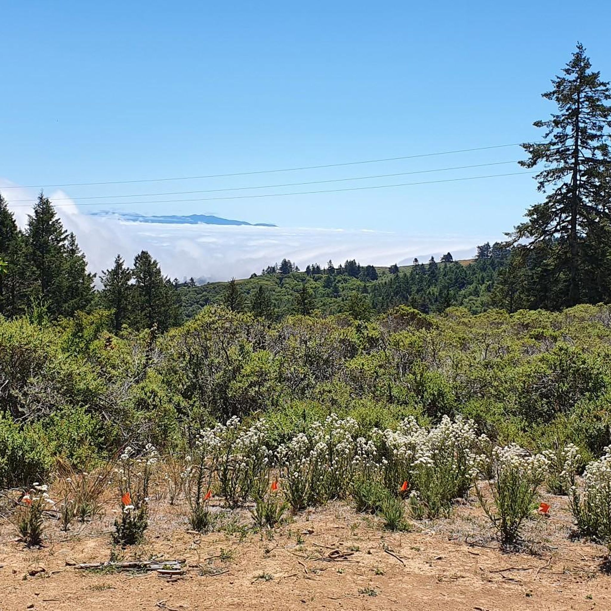
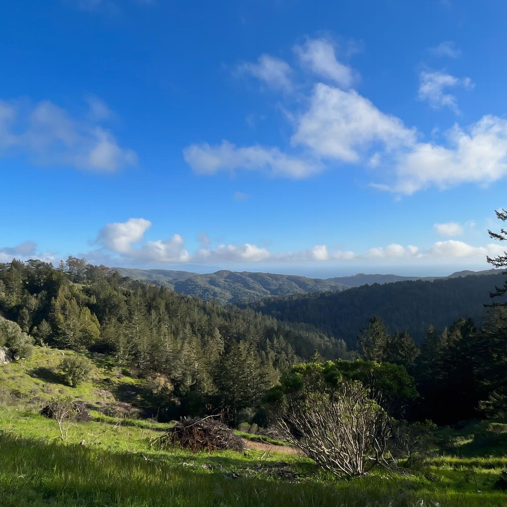
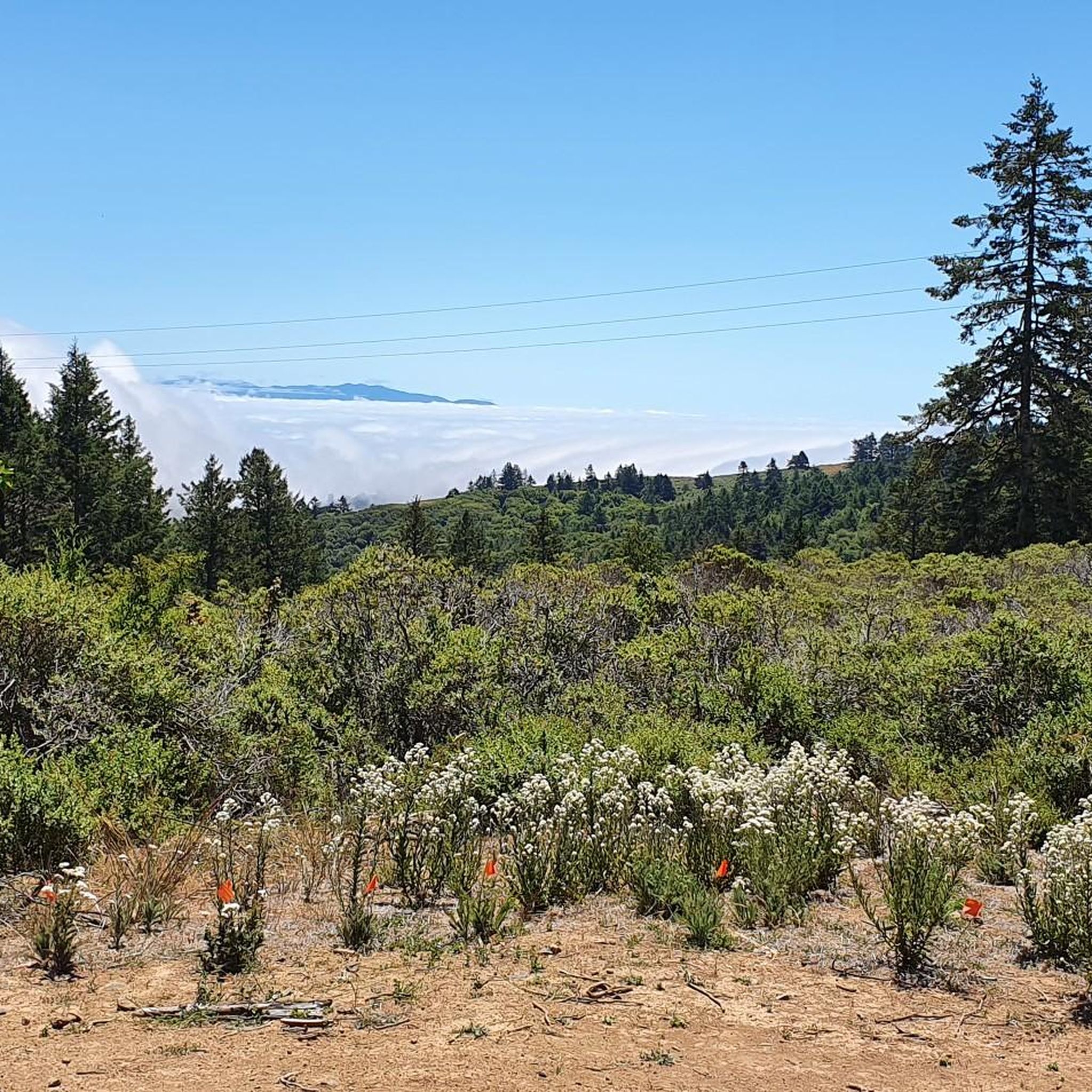
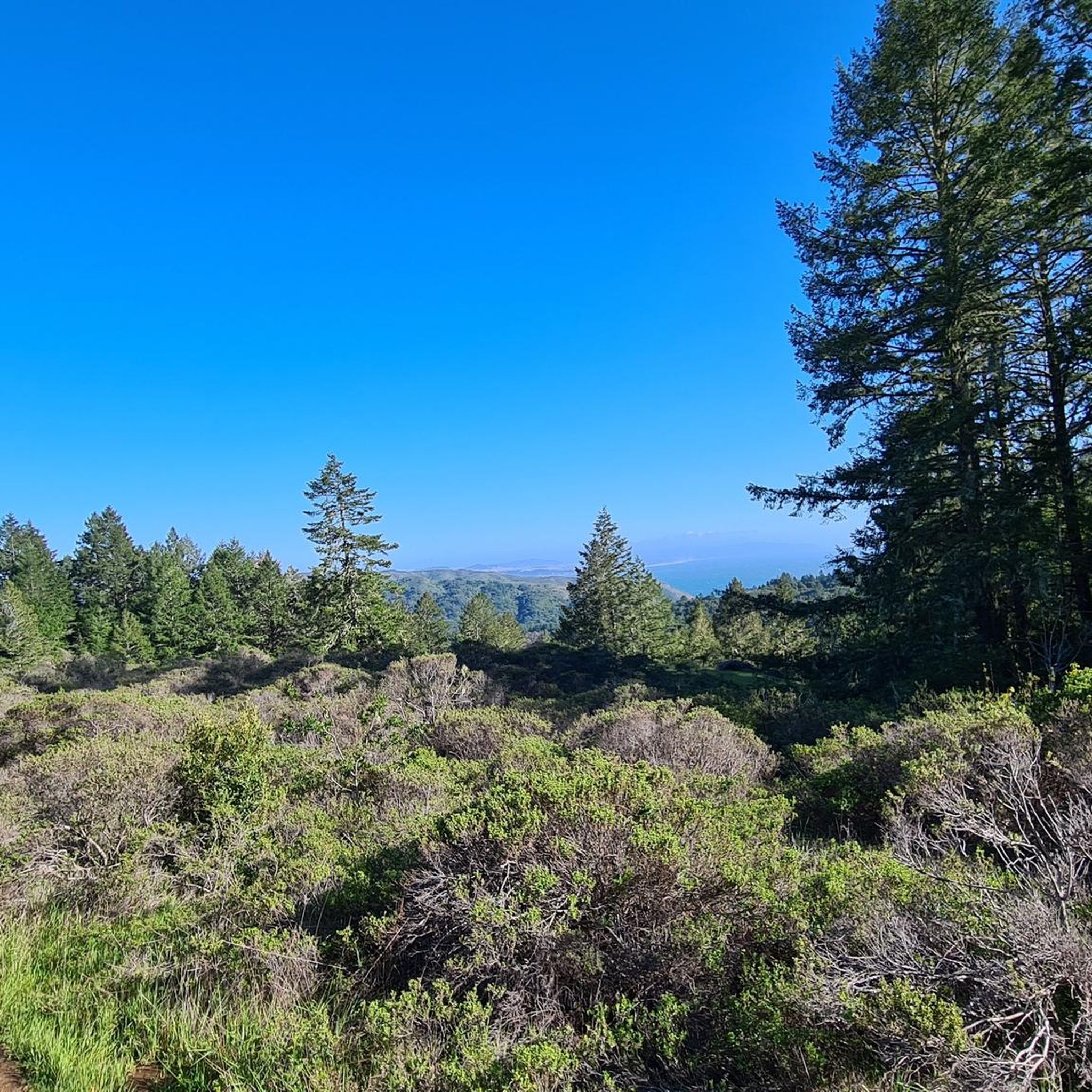
Mount Tam East Peak offers some of the most majestic views north of the bay. From this vantage point, you can see all of Marin, along with Point Reyes to the north and Oakland and San Francisco to the south. The stunning panoramic vistas make the journey well worth the effort. There are restrooms and picnic tables, ideal for a snack or lunch while you capture some incredible photos.
0
0

Huggin Corte Madera Creek this 3.5-mile, multi-use path is a great option for those looking for a mellow route. It passes through Hal Brown-Creekside Park, which is a good spot for a break.
0
0


Often busy on weekends, this is a great spot to take moment before/after summiting Mt Tam. There are spigots to fill up water and bathrooms that are open during park hours. The parking lot is very close for those that drive up. There is access to MANY trails for those on foot/bike.
0
0

Set beneath the towering trees of Mount Tam, Rock Springs is the perfect jumping-off point for scenic hikes and quiet picnics—where trails, wildlife, and wide-open views begin.
0
0
Perched high on Mount Tam, the stone-built Mountain Theater offers sweeping views and timeless performances—where nature and art come together in one of California’s most breathtaking open-air stages.
0
0
Frequently Asked Questions
How many road cycling routes are available in the Muir Woods National Monument area?
The region around Muir Woods National Monument offers over 75 road cycling routes. These routes vary in difficulty, from moderate loops to more challenging climbs through coastal hills and redwood forest scenery.
Are bicycles allowed inside Muir Woods National Monument itself?
No, bicycles are not permitted on the trails within Muir Woods National Monument. However, cyclists can ride to the monument's entrance and then enter on foot to explore the redwood groves. The broader Marin County area, which surrounds the monument, provides an extensive network of roads and fire roads suitable for road cycling.
What is the best time of year for road cycling near Muir Woods National Monument?
The area experiences a unique climate with regular coastal marine layer fog, which is vital for the redwoods. While cycling is enjoyable year-round, timing your rides to avoid peak traffic, especially on roads leading to and around Muir Woods, is advisable. Early mornings or weekdays often offer a more serene experience.
What do other road cyclists enjoy most about the routes in the Muir Woods National Monument area?
The routes in the Muir Woods National Monument area are highly rated by the komoot community, with an average score of 4.7 stars from over 150 reviews. Cyclists often praise the challenging terrain, the stunning panoramic views of the Pacific Ocean, and the unique experience of cycling near ancient redwood forests.
Are there any family-friendly road cycling routes with low traffic near Muir Woods?
While many routes in the area involve substantial climbs, some sections offer more moderate terrain. For a route that navigates through coastal areas and offers bay views, consider the Sausalito Path – Pickleweed Inlet crossing loop from Mill Valley. Always check route details for elevation and traffic levels to ensure it suits your family's needs.
Where can I find challenging road bike climbs in the Muir Woods area?
The region, particularly the slopes of Mount Tamalpais, is known for its challenging climbs. Routes like the Pantoll Road – Mount Tamalpais Summits loop from Mill Valley offer significant elevation gains, leading through demanding terrain and providing expansive views from the summits.
Are there any scenic viewpoints or attractions along the road cycling routes?
Yes, many routes offer stunning views of the Pacific Ocean and glimpses of redwood forests. While cycling within the monument is restricted, you can ride to its entrance. Nearby attractions include the majestic Cathedral Grove of Giant Redwoods and various trails like Fern Creek Trail, which you can explore on foot after parking your bike.
What are some alternative road cycling routes if I want to avoid the immediate Muir Woods area?
The broader Marin County area offers numerous alternatives. For example, the Camino Alto Road – Corte Madera Creek loop from Mill Valley provides a moderate ride through varied landscapes. Another option for coastal views and hills is the Tiburon Loop, which is a 26.2-mile ride.
Are there any specific parking considerations for cyclists visiting the Muir Woods area?
While car parking at Muir Woods National Monument requires reservations, cyclists do not need a reservation to ride to the entrance. You can park your bike and then enter the monument on foot. For other routes in the surrounding Marin County, parking availability will vary by trailhead or starting point.
Can I find cafes or restaurants near the road bike routes in the Muir Woods area?
Yes, towns like Mill Valley, Sausalito, Larkspur, and Tiburon, which serve as common starting points or pass-throughs for many routes, offer various amenities including cafes, restaurants, and other services catering to cyclists.
Are there any routes that connect to Mount Tamalpais State Park for more extensive exploration?
Absolutely. Many routes in the vicinity leverage the interconnected roads and trails. For instance, the Pantoll Road – Mount Tamalpais Summits loop from Mount Tamalpais State Park directly features climbs towards the summits of Mount Tamalpais, providing expansive views and opportunities for further exploration within the state park.
Most popular routes in Muir Woods National Monument
Most popular attractions in Muir Woods National Monument

Get inspired with the komoot mobile app


Explore more
Browse the best Road cycling routes in other regions.
