The best gravel rides in Muir Woods National Monument
4.7
(30)
663
riders
36
rides
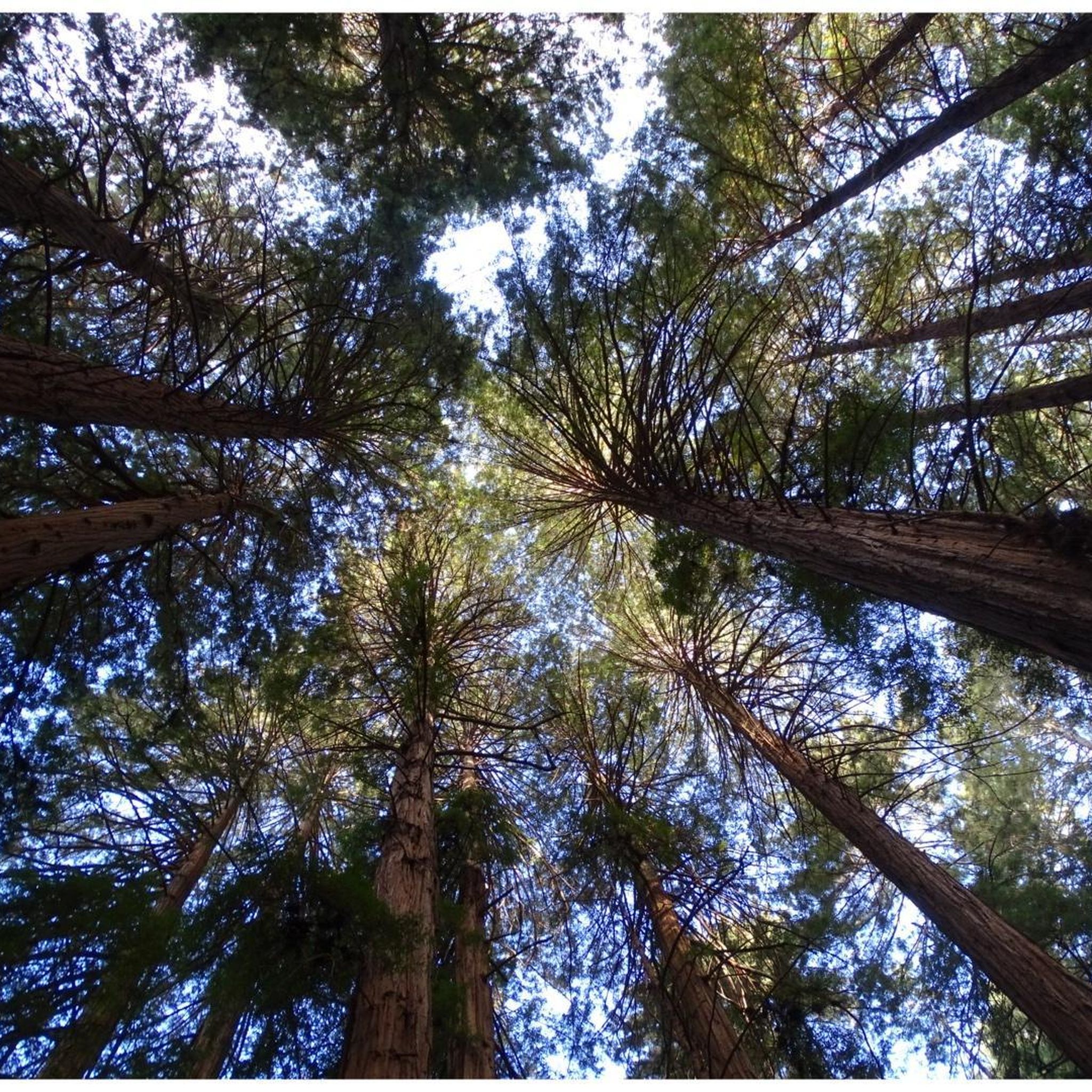
Gravel biking in Muir Woods National Monument is characterized by its location within the larger Golden Gate National Recreation Area and Mount Tamalpais State Park. While direct biking is not permitted on trails within the monument itself, the surrounding region offers extensive gravel biking opportunities on fire roads and interconnected trails. The terrain features ancient coast redwood forests, lush undergrowth, and coastal hills, providing a mix of challenging climbs and scenic descents. This area is defined by significant elevation changes and varied landscapes shaped by its proximity to the Pacific Ocean.
Best gravel bike trails in Muir Woods National Monument
- The most popular gravel bike trail is Phoenix Lake – Fish Gulch trail junction loop from Mill Valley, a 28.4 miles (45.7 km) trail that takes 4 hours to complete. This difficult route features significant elevation gain through varied terrain.
- Another top favourite among local gravel bikers is Fern Creek and spring – Pantoll Road loop from Mill Valley, a difficult 23.4 miles (37.7 km) path. This route offers extensive climbs and descents with views of the surrounding natural landscape.
- Local gravel bikers also love the Fern Creek and spring loop from Mill Valley, a 21.7 miles (35.0 km) trail leading through redwood forest scenery, often completed in about 3 hours 2 minutes.
- Gravel biking in Muir Woods National Monument is defined by ancient redwood forests, challenging fire roads, and scenic coastal hills. The network offers options for different ability levels, from moderate paths to difficult climbs.
- The routes in Muir Woods National Monument are highly rated by the komoot community with an average score of 4.7 stars from over 20 reviews. More than 600 gravel bikers have used komoot to explore Muir Woods National Monument's varied terrain.
Last updated: August 25, 2026
5.0
(3)
74
riders
35.0km
03:01
930m
930m
Hard gravel ride. Very good fitness required. Mostly paved surfaces. Suitable for all skill levels.
23
riders
45.6km
03:05
750m
750m
Hard gravel ride. Very good fitness required. Mostly paved surfaces. Suitable for all skill levels.

Sign up for free
4.8
(6)
73
riders
47.4km
04:21
1,270m
1,270m
Hard gravel ride. Very good fitness required. Mostly paved surfaces. Suitable for all skill levels.
5.0
(3)
64
riders
29.3km
02:46
850m
850m
Hard gravel ride. Very good fitness required. Mostly paved surfaces. Suitable for all skill levels.
5.0
(2)
43
riders
37.0km
03:07
1,000m
1,000m
Hard gravel ride. Very good fitness required. Mostly paved surfaces. Suitable for all skill levels.
Get access to more routes and recommendations from other explorers.
Sign up for free
Already have an account?
Our route recommendations are based on thousands of hikes, rides, and runs completed by other people on komoot.
Start today with a free account
Your next adventure awaits.
Login or Signup
Tips from the Community


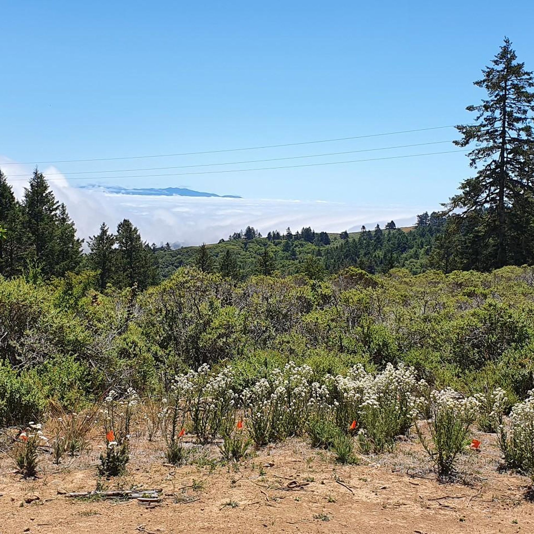
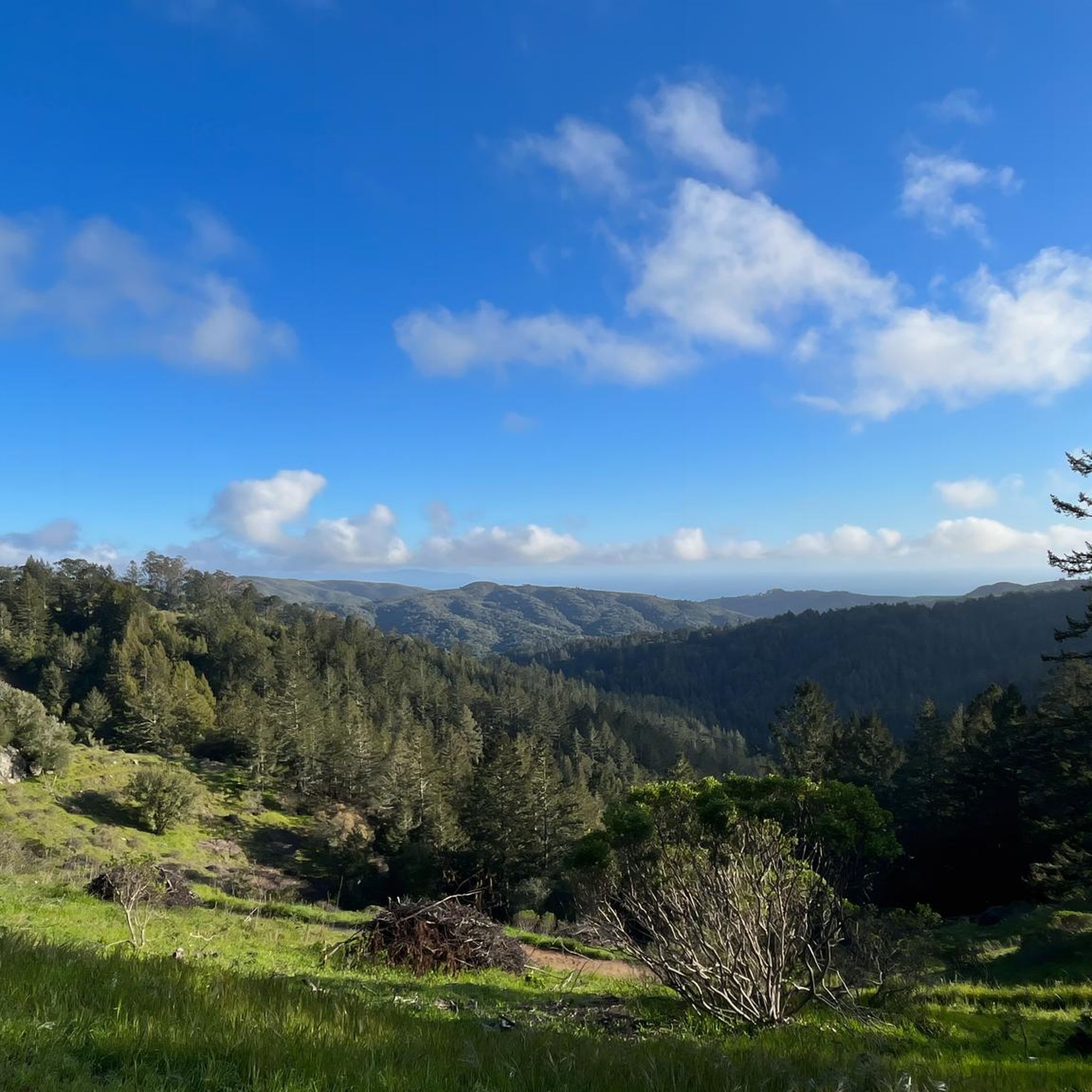
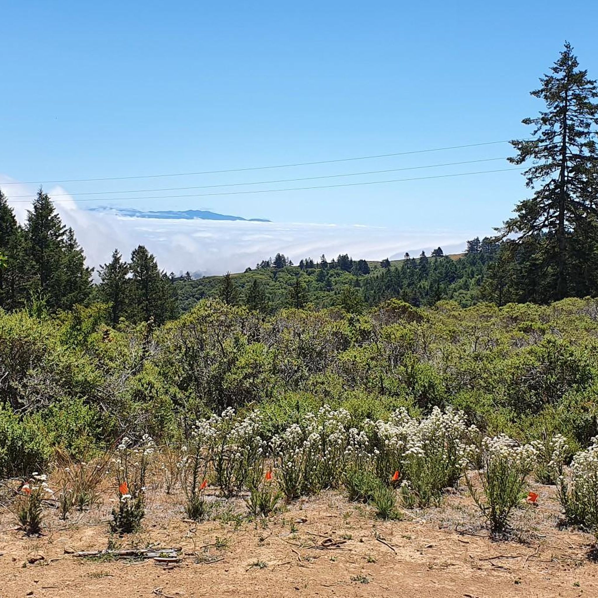
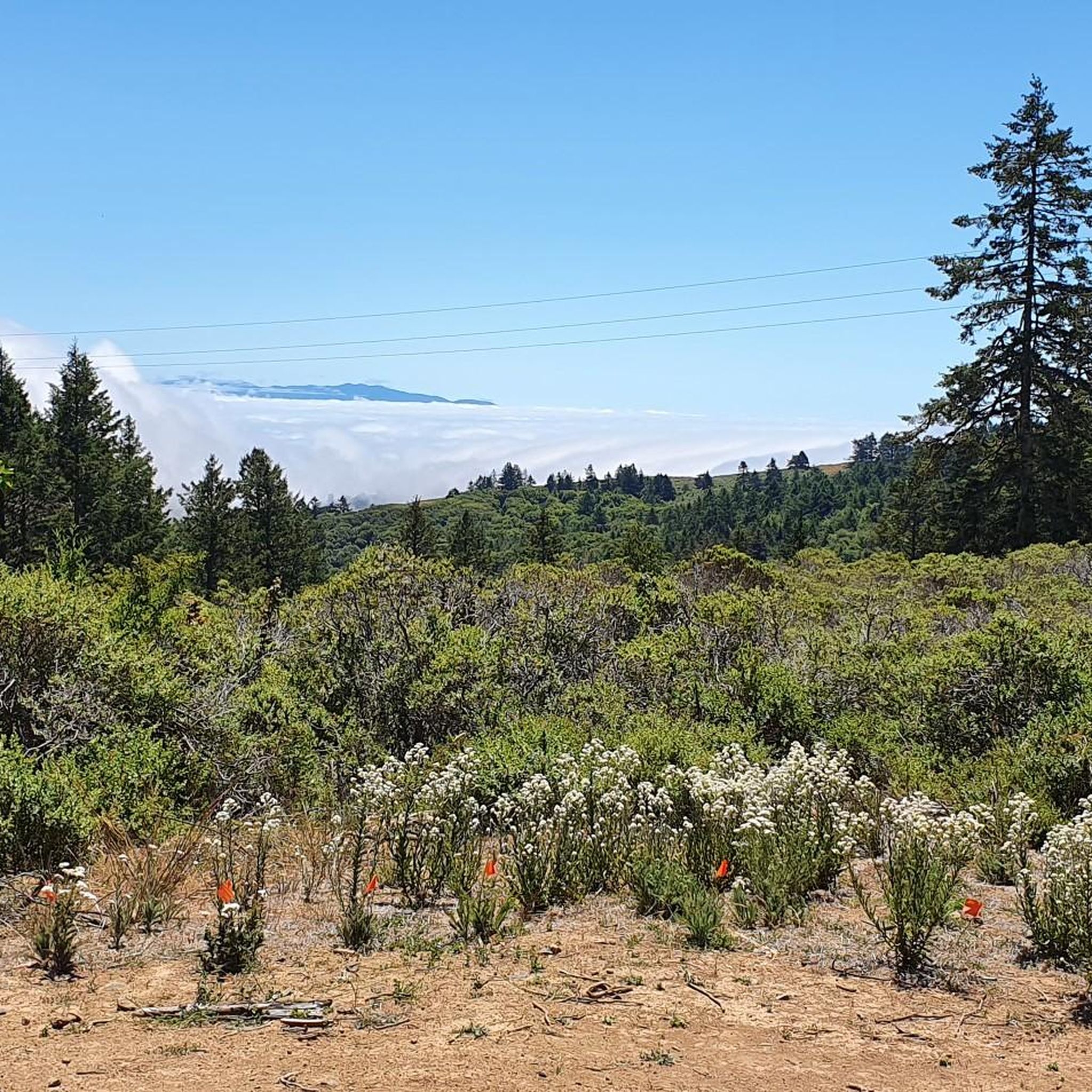
Mount Tam East Peak offers some of the most majestic views north of the bay. From this vantage point, you can see all of Marin, along with Point Reyes to the north and Oakland and San Francisco to the south. The stunning panoramic vistas make the journey well worth the effort. There are restrooms and picnic tables, ideal for a snack or lunch while you capture some incredible photos.
0
0

Often busy on weekends, this is a great spot to take moment before/after summiting Mt Tam. There are spigots to fill up water and bathrooms that are open during park hours. The parking lot is very close for those that drive up. There is access to MANY trails for those on foot/bike.
0
0

At this point on Sky Oaks Road, there is a junction with Shaver Grade Road, which connects with a dense network of trails and dirt roads near Bald Hill in the Mount Tamalpais State Park. From here, you can continue on the paved Sky Oaks Road or go arond the gate on to the gravel Shaver Grade Road.
0
0
Pantoll Road is a beautiful, mostly paved route through Mount Tamalpais State Park, connecting the Panoramic Highway to Ridgecrest Boulevard. It winds closely along the curves of the hillside, with some shade from the trees in some spots. There are fantastic views along the way of San Francisco and the Marin Headlands, with incredible viewpoints over the Pacific coastline.
0
0

Quieter albeit slightly higher and steeper climb out of Mill Valley to Panoramic Highway instead of climbing on Hwy 1, meandering along lesser traffic neighborhood streets with more shade and awesome bay views.
0
0
This bikeway offers a better alternative to the much busier Center Boulevard, which does not have a shoulder and an even better route than the Sir Francis Drake Blvd highway. Lansdale and San Anselmo Avenues are quiet residential streets that run parallel and provide a pleasant passage through town away from busy traffic.
1
0
Frequently Asked Questions
Can I gravel bike directly within Muir Woods National Monument?
No, gravel biking is not permitted on the trails inside Muir Woods National Monument itself. However, the surrounding Mount Tamalpais State Park and Golden Gate National Recreation Area offer extensive opportunities for gravel biking on their fire roads and interconnected trails.
How many gravel bike trails are available near Muir Woods National Monument?
There are over 40 gravel bike routes available in the vicinity of Muir Woods National Monument, primarily within Mount Tamalpais State Park and the Golden Gate National Recreation Area. These routes offer a mix of moderate and difficult options for exploration.
What kind of terrain can I expect on gravel bike trails near Muir Woods?
The terrain around Muir Woods National Monument is characterized by challenging fire roads and interconnected trails. You can expect significant elevation gains and descents, winding through ancient redwood forests, lush undergrowth, and scenic coastal hills. The routes often feature a mix of paved and unpaved surfaces.
Are there any family-friendly gravel biking options near Muir Woods?
While many routes in the area feature significant climbs and are rated as difficult, there are some moderate options available. For example, the Tennessee Valley Trailhead – Old Springs Trail loop from Mill Valley is a moderate route that might be suitable for families looking for a less strenuous ride, though it still involves some elevation.
What are some notable natural features or landmarks I might see while gravel biking in the area?
While biking is not allowed within the monument, the surrounding areas offer stunning views of the ancient coast redwood forests and the lush, fog-influenced ecosystem. You might encounter diverse plant life like tanoak trees, ferns, and California bay laurel. For those visiting the monument itself (by foot), highlights include the Cathedral Grove of Giant Redwoods and the Fern Creek Trail.
What do other gravel bikers enjoy most about the trails near Muir Woods National Monument?
The gravel biking routes near Muir Woods are highly rated by the komoot community, with an average score of 4.6 stars. Reviewers often praise the challenging climbs, the immersive redwood forest scenery, and the extensive network of fire roads that provide a true escape into nature.
Is it possible to bike to Muir Woods National Monument, and what are the regulations for cyclists?
Yes, you can bike to Muir Woods National Monument. Routes like Muir Woods Road from Panoramic Highway or Frank Valley Road via Highway 1 are available, though they are strenuous, long, steep, and require sharing the road with cars. Bike racks are available outside the park entrance, and visitors arriving by bicycle do not need reservations to enter the monument. For more details, you can check the official NPS website.
Are there any circular gravel bike routes available?
Yes, many of the popular gravel biking routes in the area are loops. For example, the Railroad Grade Fire Road – Old Mine Trail (lower) 🌲 loop from Mill Valley offers a challenging circular ride through redwood forest scenery.
What is the best time of year for gravel biking near Muir Woods?
The region benefits from coastal fog, which helps sustain the redwoods, making it a lush environment year-round. While specific seasonal advice for gravel biking isn't provided, the consistent climate generally allows for biking in most seasons, though conditions can vary. Always check local weather forecasts before heading out.
Are dogs allowed on the gravel bike trails near Muir Woods?
While dogs are generally not permitted on trails within Muir Woods National Monument, the policies for the surrounding Mount Tamalpais State Park and Golden Gate National Recreation Area vary. It's best to check the specific regulations for the fire roads and trails you plan to use, as some areas may allow dogs on leash.
Are there any less crowded gravel bike trails near Muir Woods?
Given the popularity of the area, many trails can see significant use. To find potentially less crowded options, consider exploring some of the longer or more challenging routes, or venturing further into the extensive network of fire roads within Mount Tamalpais State Park and the Golden Gate National Recreation Area, which offer numerous interconnected paths beyond the most well-known loops.
What are the options for parking when gravel biking near Muir Woods?
While parking directly at Muir Woods National Monument requires reservations for vehicles, cyclists can find bike racks outside the park entrance if they choose to bike to the monument. For accessing the surrounding gravel trails, you would typically look for parking at trailheads or designated areas within Mount Tamalpais State Park or the Golden Gate National Recreation Area, often near towns like Mill Valley.
Most popular routes in Muir Woods National Monument
Most popular attractions in Muir Woods National Monument

Get inspired with the komoot mobile app


Explore more
Browse the best Gravel rides in other regions.
