The best MTB trails in Muir Woods National Monument
4.6
(259)
2,072
riders
83
rides
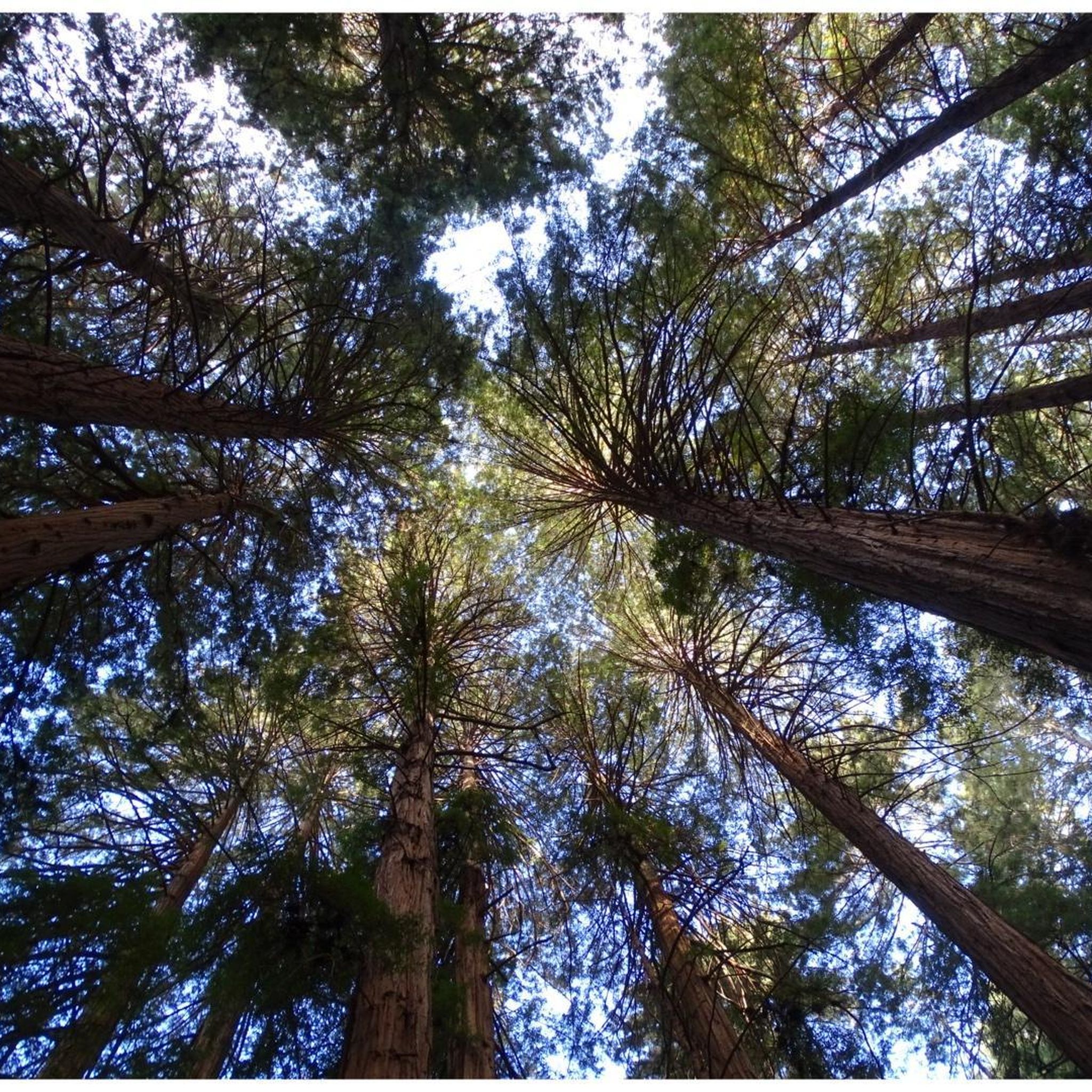
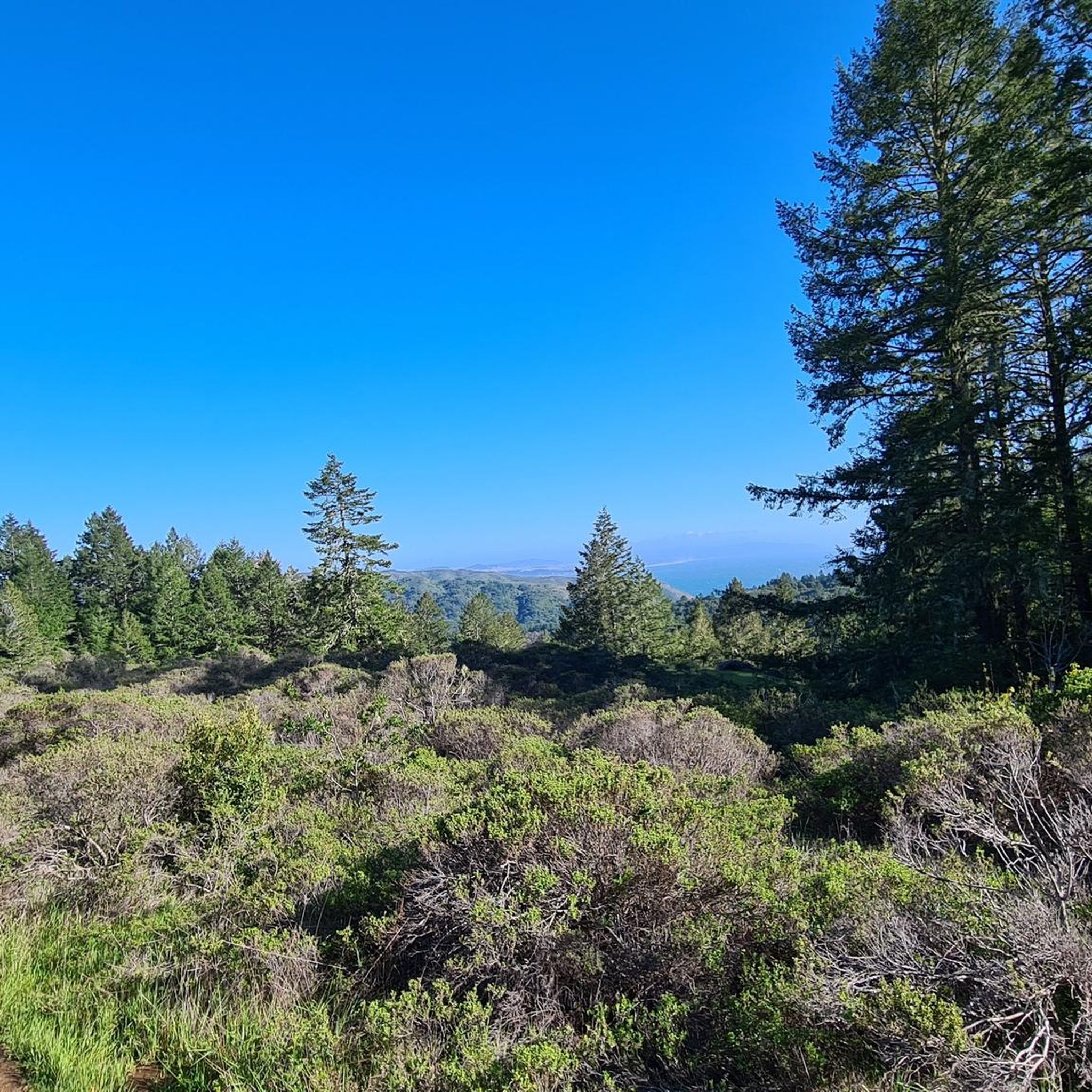
Mountain biking in Muir Woods National Monument offers varied terrain within a protected natural area. The region is characterized by dense redwood forests, rolling hills, and a network of fire roads and trails. Riders can expect a mix of shaded paths, open ridge lines, and elevation changes. The landscape provides opportunities for both challenging climbs and scenic descents.
Best mountain bike trails in Muir Woods National Monument
- The most popular mountain bike trail is Fern Creek and spring – Railroad Grade Fire Road loop from Mill Valley, a 14.2 miles (22.8 km) trail that takes 2 hours 16 minutes to complete. This route features a mix of fire roads and scenic creek crossings.
- Another top favourite among local mountain bikers is Old Railroad Grade and Gravity Car Loop, a moderate 8.1 miles (13.0 km) path. This loop follows historical railroad grades through forested areas.
- Local mountain bikers also love the Panoramic Highway – Dias Ridge Trail loop from Muir Woods National Monument, a 8.9 miles (14.4 km) trail leading through coastal hills and redwood groves, often completed in about 1 hour 28 minutes.
- Mountain biking in Muir Woods National Monument is defined by redwood forests, fire roads, and scenic ridge trails. The network offers options for easy, moderate, and difficult ability levels.
- The routes in Muir Woods National Monument are highly rated by the komoot community with an average score of 4.7 stars from over 180 reviews. More than 1900 mountain bikers have used komoot to explore Muir Woods National Monument's varied terrain.
Last updated: September 29, 2026
7
riders
53.6km
04:46
1,230m
1,230m
Hard mountain bike ride. Very good fitness required. Suitable for all skill levels.
5
riders
13.8km
01:12
320m
320m
Moderate mountain bike ride. Good fitness required. Suitable for all skill levels.

5.0
(1)
5
riders
13.0km
01:14
320m
320m
The Old Railroad Grade and Gravity Car Loop offers a unique mountain biking experience, tracing the path of the historic "Crookedest Railroad in the World" up Mount Tamalpais. You'll start amidst shaded redwood groves and fern-lined creeks, gradually climbing through oak woodlands to more exposed chaparral, all while enjoying increasingly expansive views of the Bay Area. The trail's consistent 6% grade on a wide fire road makes the 8.1-mile (13.0 km) ascent of 1059 feet (323 metres) aerobically challenging but not overly technical, leading to the stunning East Peak. Expect a moderate ride that takes about 1 hour and 14 minutes, perfect for those seeking a rewarding climb with incredible scenery.
To make the most of your visit, plan to start your ride from the East Peak Visitor Center, which offers facilities and serves as a natural hub for the area. While specific parking details aren't always highlighted, arriving early, especially on weekends, is advisable to secure a spot and enjoy the trail before it gets busy. This route is best enjoyed on clear days when the panoramic vistas from the summit are at their most spectacular, allowing you to see San Francisco and even the Sierra Nevada.
This loop is steeped in history, following the route of the Mount Tamalpais Scenic Railway that operated until 1930. You'll encounter engineering marvels like the Double Bowknot, where the old railway gained elevation, and the historic West Point Inn, a welcome stop with world-class views. At the East Peak Visitor Center, you can see a replica of a gravity car, which once whisked passengers down the mountain. This blend of natural beauty, historical significance, and a good workout makes it one of the popular trails routes in the Marin County area.
5.0
(1)
36
riders
Moderate mountain bike ride. Good fitness required. Suitable for all skill levels.
4
riders
110km
10:49
2,830m
2,830m
Hard mountain bike ride. Very good fitness required. Suitable for all skill levels.
Get access to more routes and recommendations from other explorers.
Already have an account?
Our route recommendations are based on thousands of hikes, rides, and runs completed by other people on komoot.
Start today with a free account
Your next adventure awaits.
Tips from the Community


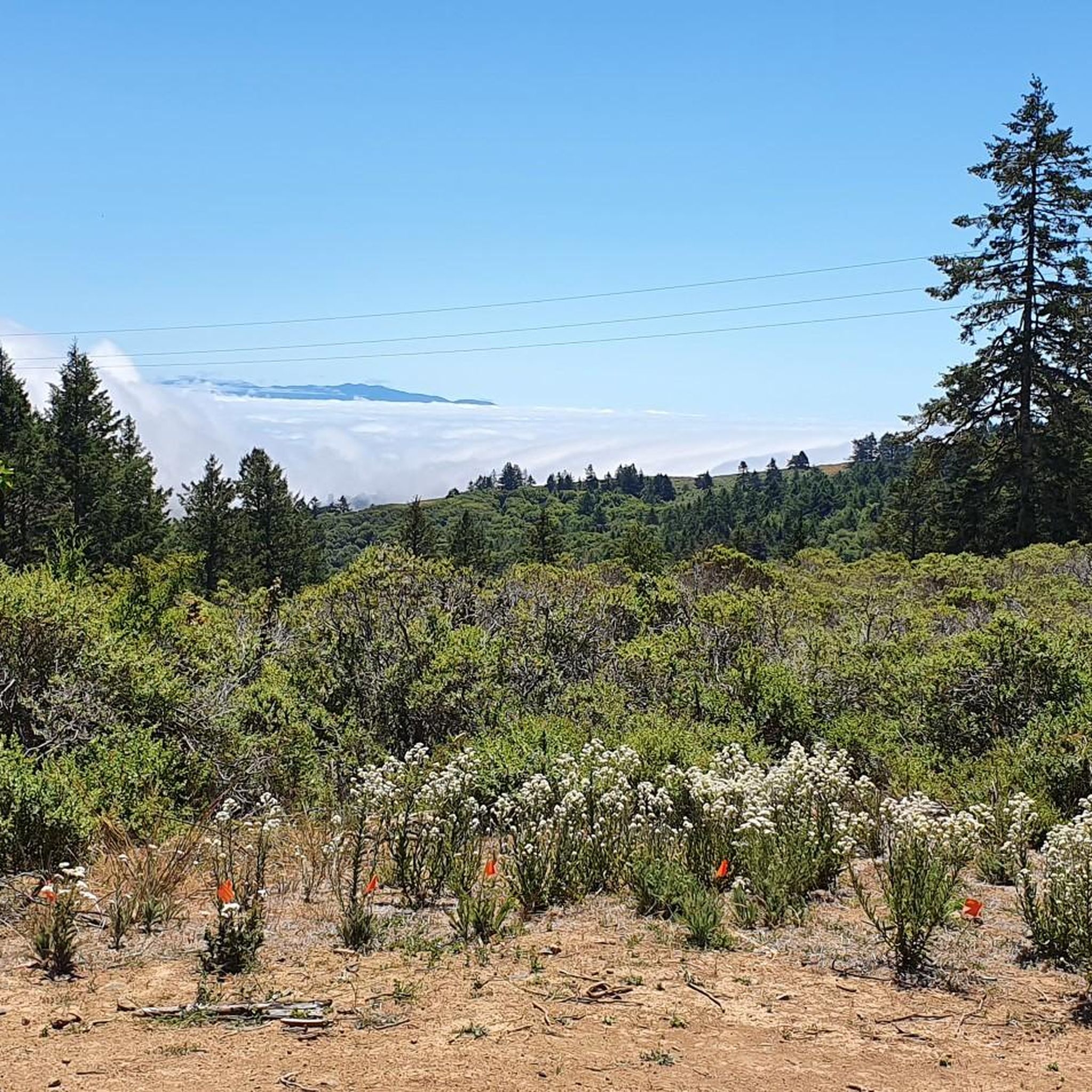
This "Four Corners" intersection on the saddle of Panoramic Highway is the transition for Sequoia Valley Rd crossing over to the Pacific side into Muir Woods Rd. There are also three trails arriving from the Bay side at this point. The views reach from the Bay on one side to the Pacific Ocean on the other.
0
0


Now open for more than a hundred years, this inn welcomes visitors high on the flanks of Mount Tamalpais. The guestrooms mostly face east, but the grounds include great vantages to the west over the Bay. There's also a restaurant, and this has been voted one of the most romantic spots in the Bay Area several times over.
0
0

This historic hotel with a long history, was built in 1912 by a Swiss-German immigrant couple who were homesick for their native Alps. It is perched on the ridge between the Mount Tamalpais peaks, high above Mill Valley, and boasts excellent views of Marin. It is a favorite spot to stay as a mountain getaway for outdoor enthusiasts in the Bay area, so much so that even celebrities like Goldie Hawn, the Grateful Dead and Jack London have stayed here.
0
0
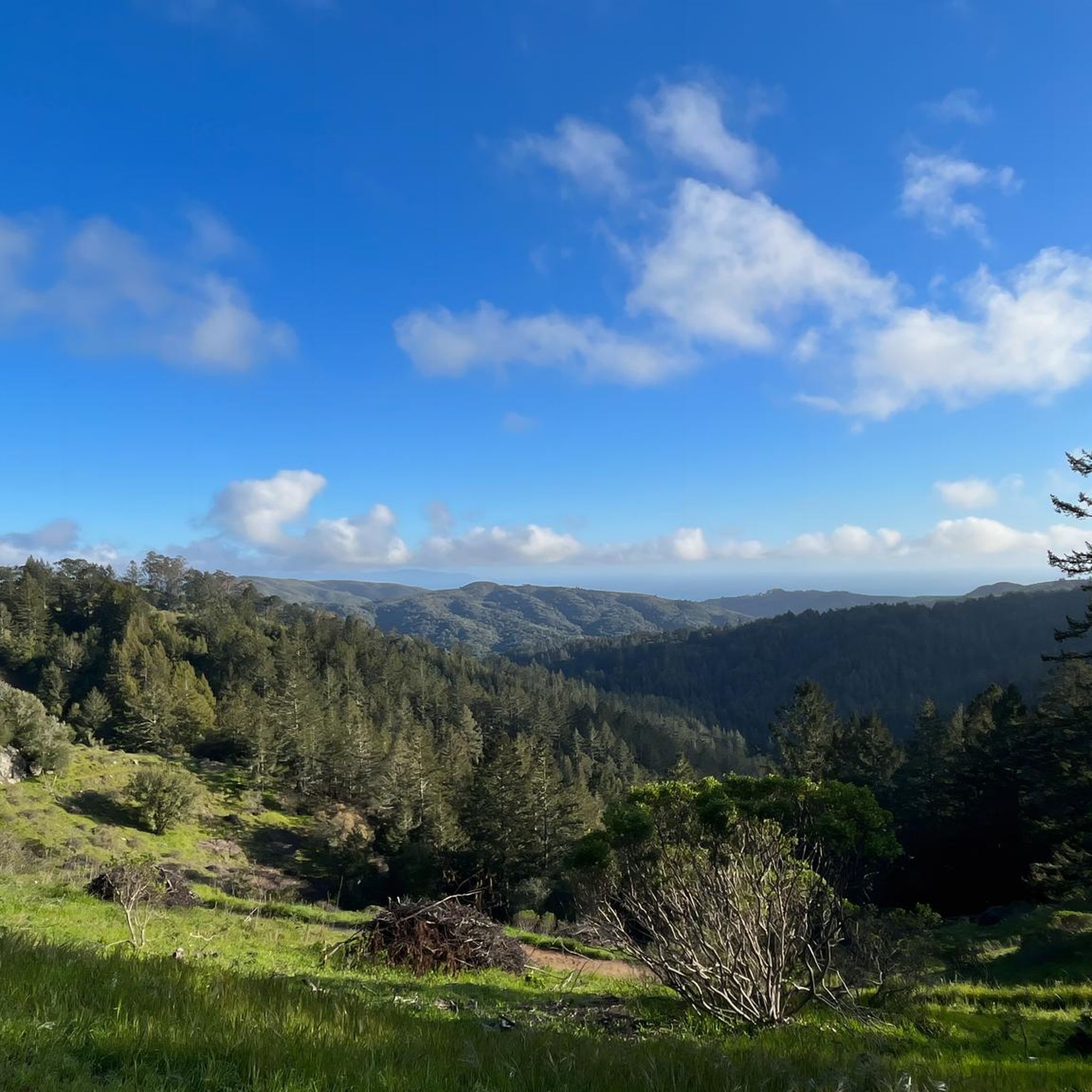
Pantoll Road is a beautiful, mostly paved route through Mount Tamalpais State Park, connecting the Panoramic Highway to Ridgecrest Boulevard. It winds closely along the curves of the hillside, with some shade from the trees in some spots. There are fantastic views along the way of San Francisco and the Marin Headlands, with incredible viewpoints over the Pacific coastline.
0
0

There is a great view of the northern point of Alpine lake where a small channel feeds over to Bon Tempe Lake. This is a great place to drop a line, or just enjoy the aquatic views.
0
0

From easiest to hardest climbs out of phoenix lake from this junction: -Shaver Grade, easy grade, longer, shaded and pretty -Eldridge Grade, medium, good length and can connect you to mt tam east peak -Fish Grade fire road, very steep, we hiked the bikes
1
0
Frequently Asked Questions
What kind of terrain can I expect when mountain biking in Muir Woods National Monument?
Muir Woods National Monument offers varied terrain, characterized by dense redwood forests, rolling hills, and a network of fire roads and trails. Riders will find a mix of shaded paths, open ridge lines, and elevation changes, providing opportunities for both challenging climbs and scenic descents.
How many mountain bike trails are available in Muir Woods National Monument?
There are over 80 mountain bike routes available in Muir Woods National Monument. These include 9 easy, 58 moderate, and 17 difficult trails, catering to a wide range of skill levels.
Are there any family-friendly mountain biking options in Muir Woods National Monument?
While Muir Woods National Monument is known for its diverse terrain, many of the trails are moderate to difficult. However, there are 9 easy routes available that could be suitable for families or beginners looking for a less strenuous ride. Always check individual route details for suitability.
What are some good mountain bike trails for beginners in Muir Woods National Monument?
For beginners, focusing on the easier routes is recommended. While specific beginner-only trails aren't highlighted, the region offers 9 routes classified as 'easy' which would be a good starting point. These typically feature less elevation gain and smoother surfaces.
Where can I find advanced mountain biking routes in Muir Woods National Monument?
Advanced riders will find 17 difficult mountain bike routes in Muir Woods National Monument. An example of a challenging route is the Bon Tempe Dam 🚵 – Shaver Grade Road loop from Mill Valley, which covers 44.2 km with significant elevation changes.
Are there any circular mountain bike routes in Muir Woods National Monument?
Yes, many of the mountain bike trails in Muir Woods National Monument are loops. Popular circular routes include the Fern Creek and spring – Railroad Grade Fire Road loop from Mill Valley and the Old Railroad Grade and Gravity Car Loop.
What do other mountain bikers say about the trails in Muir Woods National Monument?
The mountain biking trails in Muir Woods National Monument are highly rated by the komoot community, with an average score of 4.7 stars from over 180 reviews. Riders often praise the scenic redwood forests, well-maintained fire roads, and the variety of terrain available.
What are some scenic viewpoints or attractions along the mountain bike trails?
While mountain biking, you can encounter several natural attractions. Notable points of interest include the Fern Creek Trail and the majestic Cathedral Grove of Giant Redwoods. The Panoramic Highway – Dias Ridge Trail loop from Muir Woods National Monument also offers coastal views.
Are there any alternative mountain biking trails close to Muir Woods National Monument?
Yes, the broader region around Muir Woods National Monument offers additional mountain biking opportunities. For example, the Pantoll Road 🌲 loop from Mill Valley is another popular route nearby that provides a different experience within the area's natural beauty.
What is the typical duration for mountain bike rides in Muir Woods National Monument?
Ride durations vary significantly based on the trail's length and difficulty. For instance, the moderate Old Railroad Grade and Gravity Car Loop typically takes around 1 hour 14 minutes, while the more challenging Bon Tempe Dam 🚵 – Shaver Grade Road loop from Mill Valley can take nearly 5 hours.
Most popular routes in Muir Woods National Monument
Most popular attractions in Muir Woods National Monument

Get inspired with the komoot mobile app


Explore more
Browse the best MTB trails in other regions.
