The best walks and hikes around the Weser
4.5
(40654)
151,198
hikers
7,087
hikes
Hiking around the Weser offers a diverse landscape shaped by the Weser River, traversing Hesse, Lower Saxony, and North Rhine-Westphalia. The region features a low mountain range with dense forests, expansive moors, and lush meadows. Hikers can explore the Solling hills, the vast Reinhardswald, and the Weser Uplands Nature Park, which includes peaks up to 440 meters and steep, craggy cliffs. This varied topography provides a range of hiking experiences along riverbanks and through unique natural features like the Süntel…
Last updated: August 12, 2026
4.8
(396)
1,310
hikers
8.10km
02:25
250m
260m
Moderate hike. Good fitness required. Mostly accessible paths. Sure-footedness required.
4.6
(386)
1,288
hikers
4.43km
01:19
130m
120m
Easy hike. Great for any fitness level. Easily-accessible paths. Suitable for all skill levels.

Sign up for free
4.5
(428)
1,120
hikers
9.02km
02:17
20m
20m
Moderate hike. Good fitness required. Easily-accessible paths. Suitable for all skill levels.
4.6
(368)
1,230
hikers
4.37km
01:19
140m
130m
Easy hike. Great for any fitness level. Easily-accessible paths. Suitable for all skill levels.
4.7
(397)
1,196
hikers
6.70km
02:01
200m
200m
Moderate hike. Good fitness required. Easily-accessible paths. Suitable for all skill levels.
4.7
(260)
770
hikers
10.4km
03:01
240m
240m
Moderate hike. Good fitness required. Mostly accessible paths. Sure-footedness required.
4.7
(145)
553
hikers
13.3km
03:57
360m
360m
Moderate hike. Good fitness required. Easily-accessible paths. Suitable for all skill levels.
4.5
(172)
534
hikers
Moderate hike. Good fitness required. Easily-accessible paths. Suitable for all skill levels.
4.6
(139)
430
hikers
9.45km
02:45
230m
230m
Moderate hike. Good fitness required. Easily-accessible paths. Suitable for all skill levels.
4.9
(144)
460
hikers
12.2km
03:29
290m
300m
Moderate hike. Good fitness required. Easily-accessible paths. Suitable for all skill levels.
Get access to more routes and recommendations from other explorers.
Sign up for free
Already have an account?
Our route recommendations are based on thousands of hikes, rides, and runs completed by other people on komoot.
Start today with a free account
Your next adventure awaits.
Login or Signup
Popular around Weser
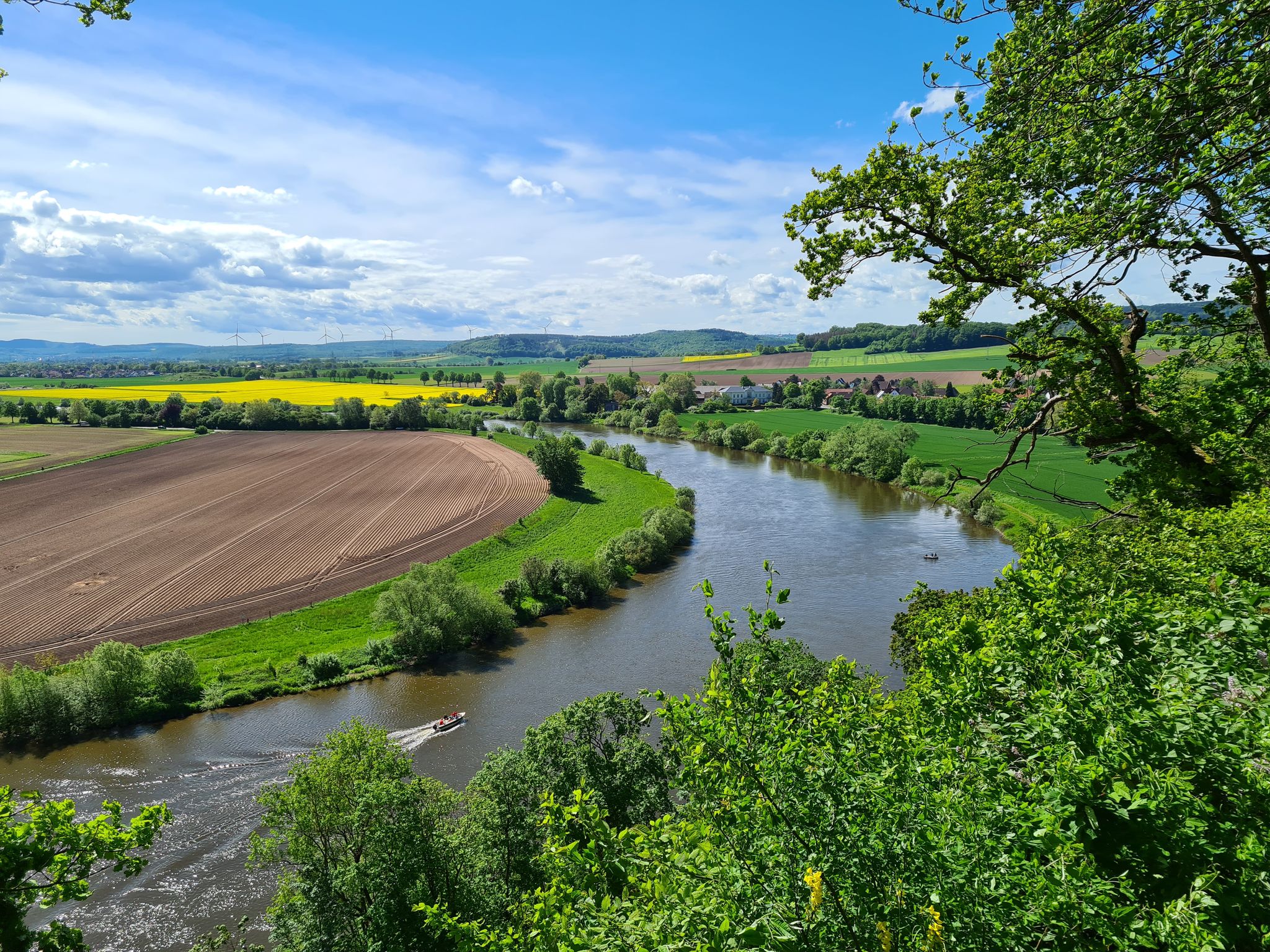
Loccum-Volkenroda pilgrim's way – From monastery to monastery

11 Hessen trails – criss-cross through the countryside
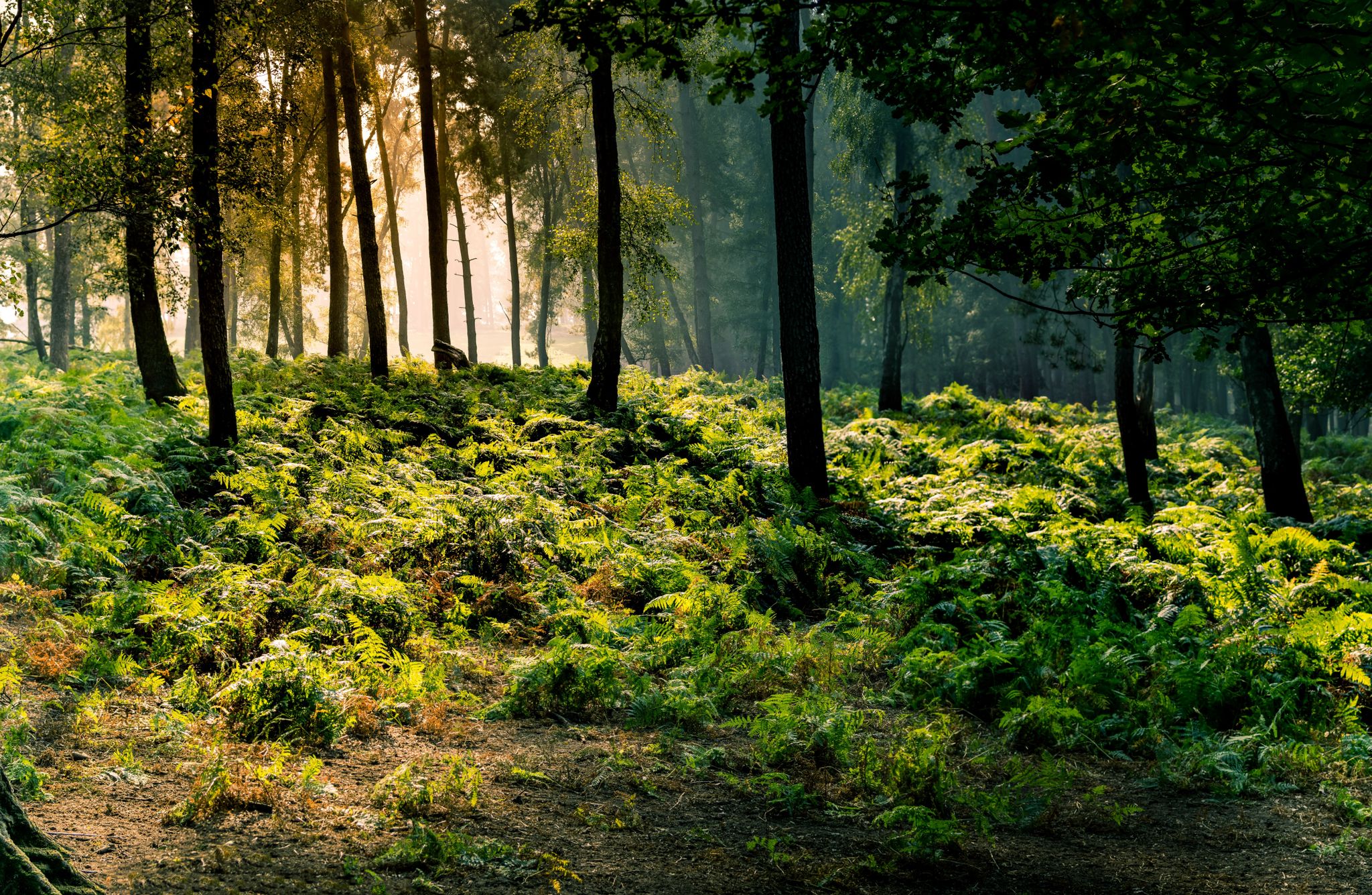
Frau Holle Trail – Nature and fairytales, eight stages
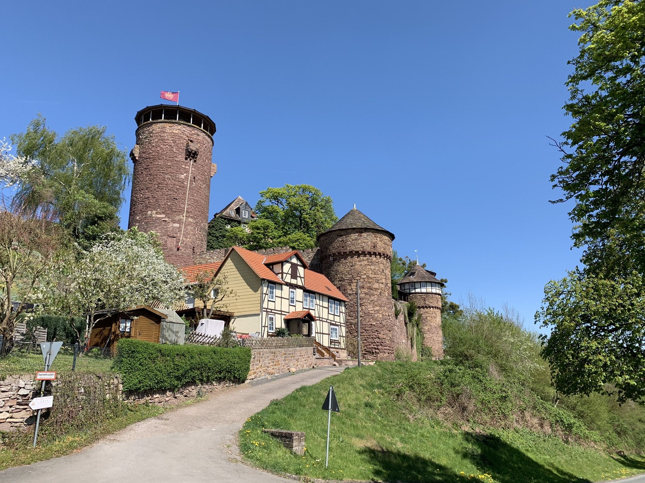
Hike the Fairy Tale Route – Enchanting days in Germany
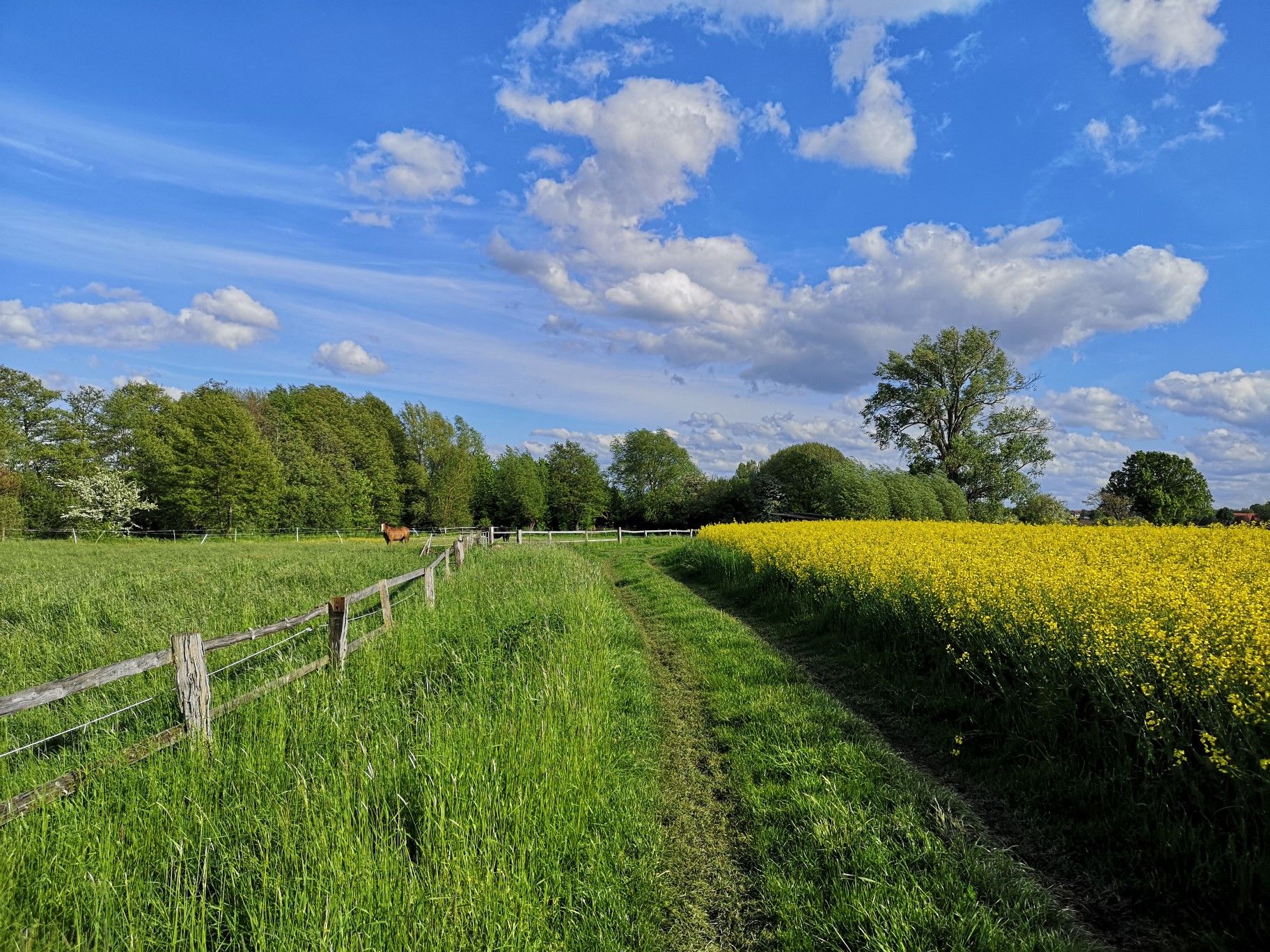
Hiking on Germany's Bückeberg Trail – Gentle hills and green forests
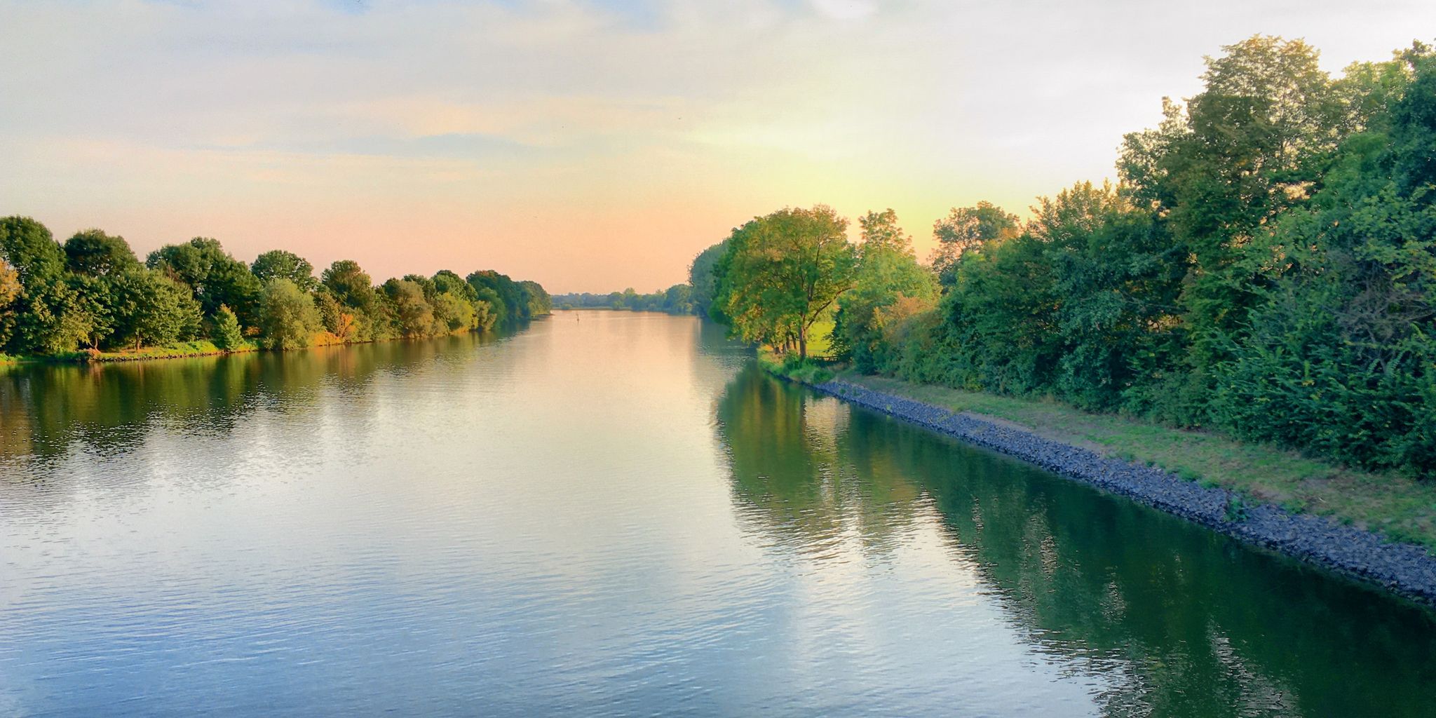
Germany's Weser Trail — Floodplains, dykes and old towns in 8 days
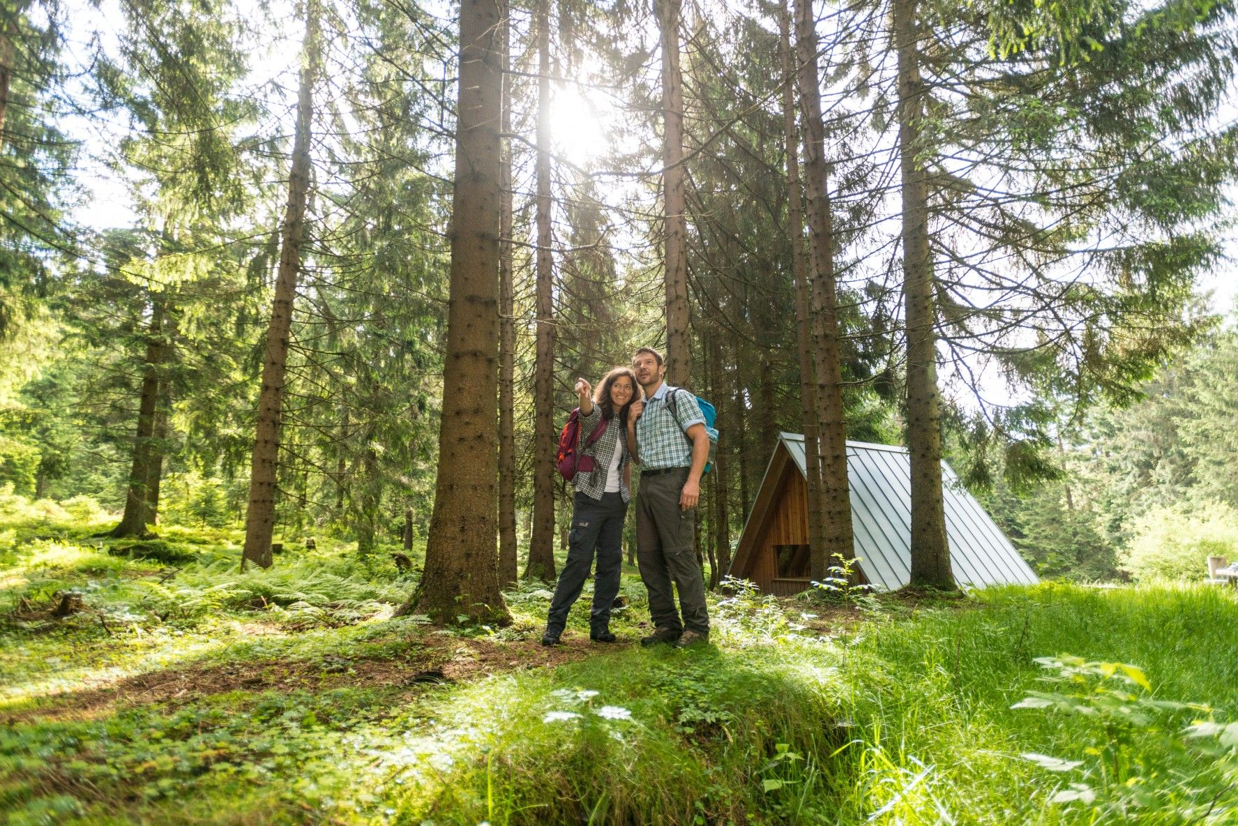
The Rennsteig — Thuringia's most beautiful hiking route
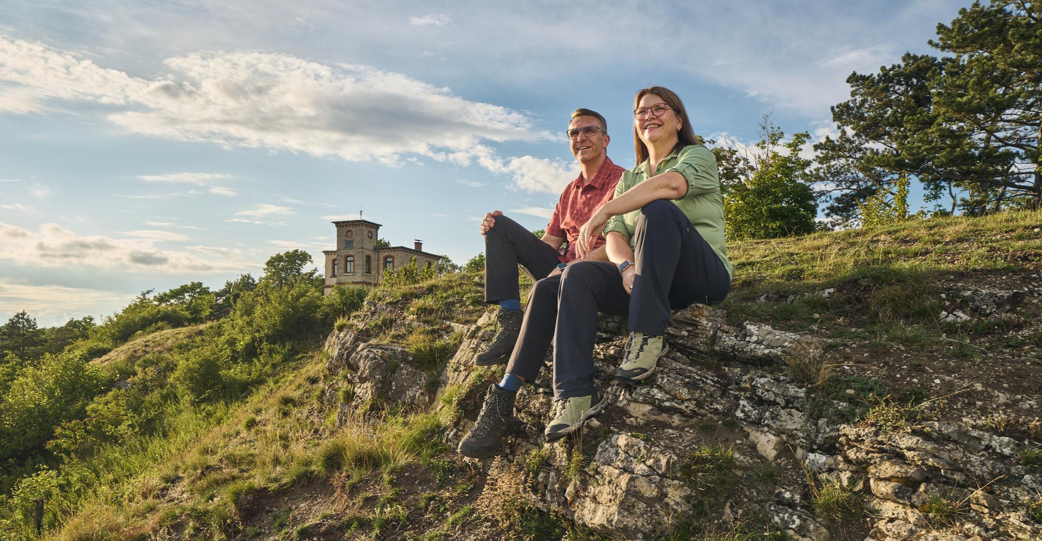
Autumn Hiking with a view – 7 WOW Tours between Wartburg and Hainich
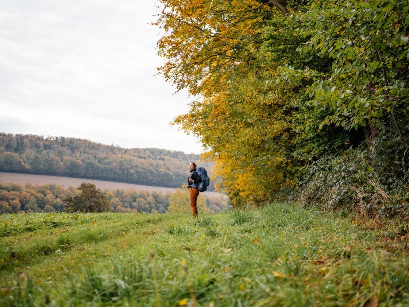
Weser Uplands Trail in autumn – out and about with Fräulein Draußen
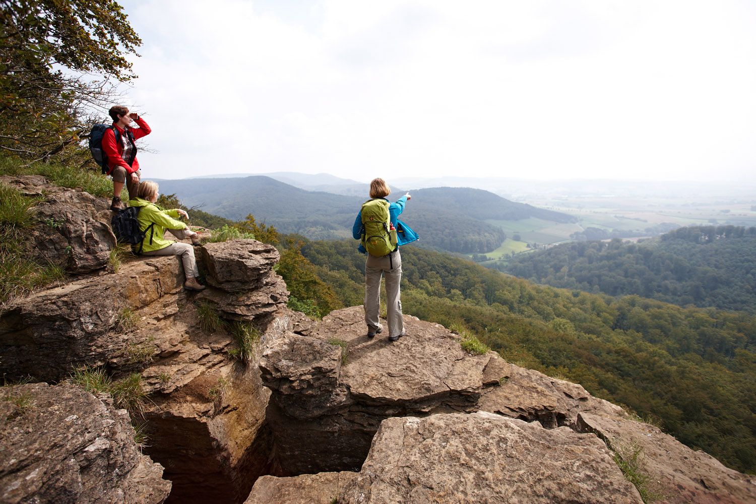
Weser Uplands Extreme – hiking for true adventurers
Other adventures around the Weser


Tips from the Community

Very well and elaborately restored. There is even an elevator up into the castle interior. Unfortunately, no catering at the present time.
0
0

View of Neuenhof and Göringen near Hörschel/Eisenach at the "Heimatblick" with a seating opportunity for a short rest.
1
0


This site in the Dreißigacker district was acquired in 1900 by Justice Dr. Adolf Braun (September 30, 1847 - March 3, 1914), director of the Deutsche Hypothekenbank Meiningen, founded in 1862, to create a viewing and resting place. The view of the village of Dreißigacker, the Gebaberg, and the Dolmar were the reasons for his choice of location. In honor of his wife Henriette (November 18, 1833 - September 22, 1919), he named the square "Henriettenplatz." It was bordered by five maple trees, and a stone table with benches was placed at its center. Source: Display board
7
1

Very nice view of the valley!
0
0
The ponds are idyllically situated along the path. A short detour down is definitely worth it,
0
0
The spacious meadow marks the end of the steep climb. Unfortunately, we didn't encounter any goats during our visit.
0
0
A stunningly beautiful forest path that has a mystical quality when the light is just right.
0
0
Frequently Asked Questions
How many hiking trails are available in the Weser region?
The Weser region offers a vast network of hiking trails, with over 7,100 routes recorded on komoot. This includes a diverse range of options, from easy riverside strolls to more challenging routes through the low mountain ranges.
Are there any easy, family-friendly hikes in the Weser region?
Yes, the Weser region has many easy and family-friendly options. The Kaiser Wilhelm Trail is an easy 2.7-mile (4.4 km) path suitable for families. The largely flat Weser Cycle Path, while primarily for cycling, also offers accessible sections for hikers, providing scenic views along the river. Additionally, the region features interactive experiences like Sievershausen's Wichtelpfad (Gnome Trail) and Lügder Schildberg's Nature Discovery Trail.
What kind of challenging hikes can I find around the Weser?
For those seeking more challenging routes, the Weser region's low mountain ranges offer trails with significant elevation changes. The Heldrastein Premium Trail P6 is a moderate 8.2-mile (13.3 km) route with over 360 meters of ascent. The long-distance Weserbergland Trail, with its 5,400 meters of elevation gain over 230 kilometers, also provides challenging stages through forests and hills.
Are there any long-distance hiking trails in the Weser region?
Absolutely. The most prominent long-distance trail is the Weserbergland Trail (Weserbergland-Weg), a 230-kilometer (143-mile) quality trail winding through unique natural and cultural landscapes. Another option is the "Loccum-Volkenroda pilgrim's way," connecting monasteries over almost 260 km.
What are some notable viewpoints or natural attractions along the hiking trails?
The Weser region boasts several impressive viewpoints and natural features. The Teufelskanzel offers spectacular vistas, and the Sollingweg: Weser Skywalk provides breathtaking panoramic views. The region is also known for its unique Süntel beech forests, a twisted mutation of the copper beech found in unparalleled density here, particularly in the Weser Uplands Nature Park.
Can I find circular walks in the Weser area?
Yes, many trails in the Weser region are designed as circular routes. An example is the Rundtour am Weserbogen, a 5.6-mile (9.0 km) moderate loop offering views along the river bend. The region's diverse landscape is well-suited for creating varied circular hiking experiences.
What do other hikers say about the trails in the Weser region?
The trails in the Weser region are highly regarded by the komoot community, with an average rating of 4.6 stars from over 35,000 reviews. Hikers often praise the diverse landscape, well-maintained paths, and the blend of natural beauty with historical and cultural attractions.
Are there historical sites or cultural attractions to see while hiking?
The Weser region is rich in history and culture. You can explore cozy half-timbered villages and towns with historic centers, such as the Historic Old Town of Hann. Münden. The area is also famous for its connection to the Brothers Grimm fairy tales and legends, with well-preserved castles like Sababurg (Sleeping Beauty's castle) dotting the landscape. The TOP-Hiking trail Hanstein-Teufelskanzel combines scenic viewpoints with historical elements.
What is the best time of year to go hiking in the Weser region?
The Weser region offers enjoyable hiking experiences throughout much of the year. Spring and autumn provide pleasant temperatures and beautiful scenery with blooming flowers or vibrant fall foliage. Summer is ideal for riverside walks, while some trails may also be accessible for winter hikes, offering a different, serene perspective of the landscape.
Are there any trails that lead to or past the Weser Skywalk?
Yes, the Sollingweg: Weser Skywalk is a moderate 5.9-mile (9.4 km) hike that specifically takes you to this impressive viewpoint, offering stunning views over the Weser valley.
How accessible are the Weser hiking trails by public transport?
Many starting and end points of the Weser region's hiking trails, particularly stages of the long-distance Weserbergland Trail, are well-connected to the railway network. This allows for flexible stage-by-stage exploration and makes it convenient to access trails without a car.
Can I find trails with amenities like cafes or huts along the way?
Yes, some trails in the Weser region offer amenities. For instance, the Mountain hut & inn Teufelskanzel is a highlight where hikers can stop for refreshments. Many historic towns and villages along the routes also provide opportunities for breaks and meals.
Most popular routes around the Weser
Most popular attractions around the Weser

Get inspired with the komoot mobile app


Explore more
Browse the best Hikes in other regions.
